Hike Steere Hill & Heritage Park Loop in Glocester, Rhode Island
Come discover the scenic charm of Steere Hill’s 448-acre trail network, blending historic farmsteads, diverse habitats, and meadow views!
I loved this gentle 4.8-mile hike in northwest Rhode Island, part of the Glocester Land Trust. Wide paths, open meadows, gentle trails with minimal incline, and a variety of sights along the way.
Here you’ll find everything you need to know to hike Steere Hill including turn-by-turn directions since there are several trails winding through here!
Steere Hill Hike Location:
Chepachet, a village in Glocester, Rhode Island, dates back to the early 1700s and is known for its rural charm and pivotal role in the 1842 Dorr Rebellion, a movement for expanded voting rights. This historic village retains much of its 19th-century character, with landmarks like the Old Stone Mill and traditional town center.
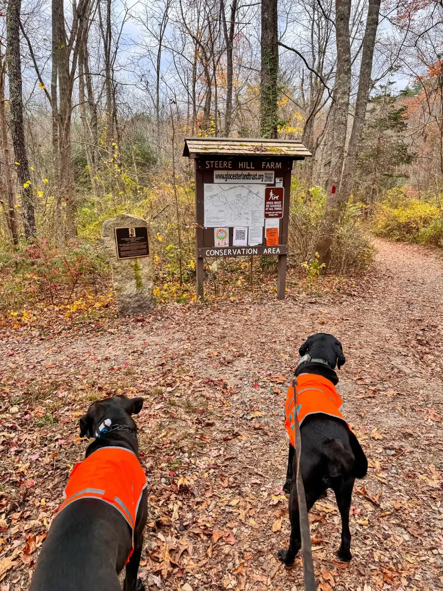
And just minutes from the downtown you’ll find Steere Hill Farm Conservation Area.
🌟 Steere Hill Overview & Highlights 🌟
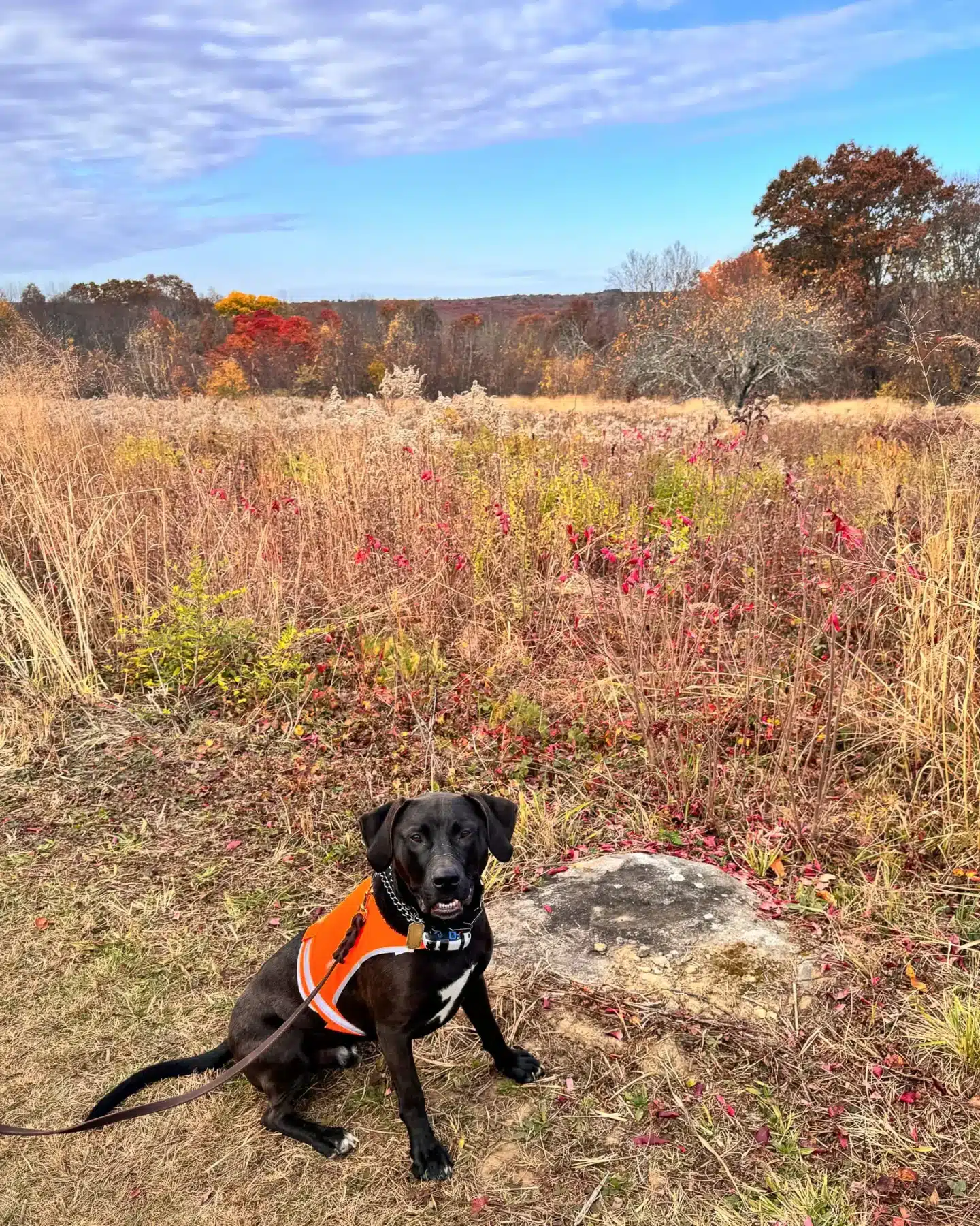
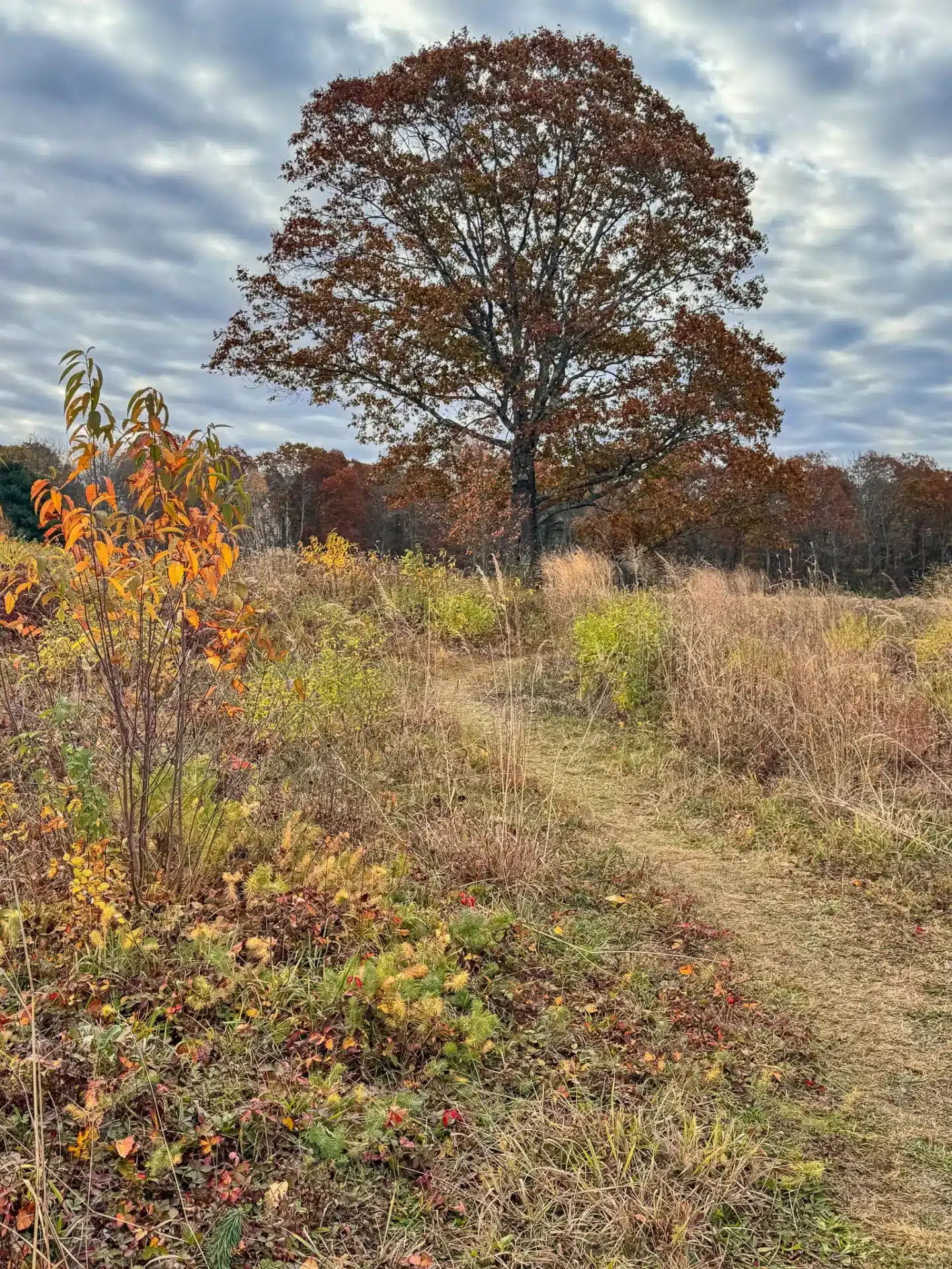
A preserved 448-acre expanse of meadows and woodlands well-cared for by the Glocester Land Trust, the summit of Steere Hill is an elevated gazebo with views of the surrounding hills and forest.
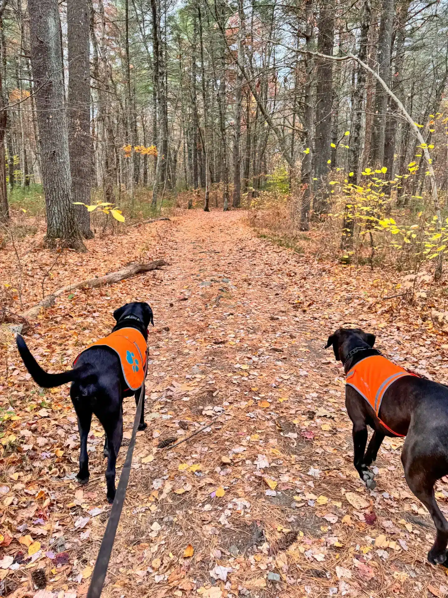
The Glocester Land Trust allows deer and turkey hunting on various dates between November and May. At the time of writing, hunting is not permitted on the Steere Hill Property, but we had the dogs wear their orange vests as a precaution.
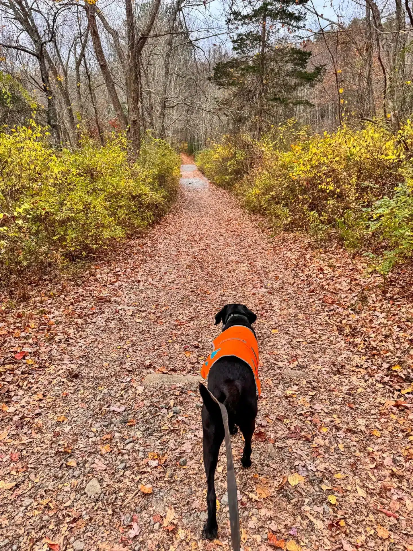
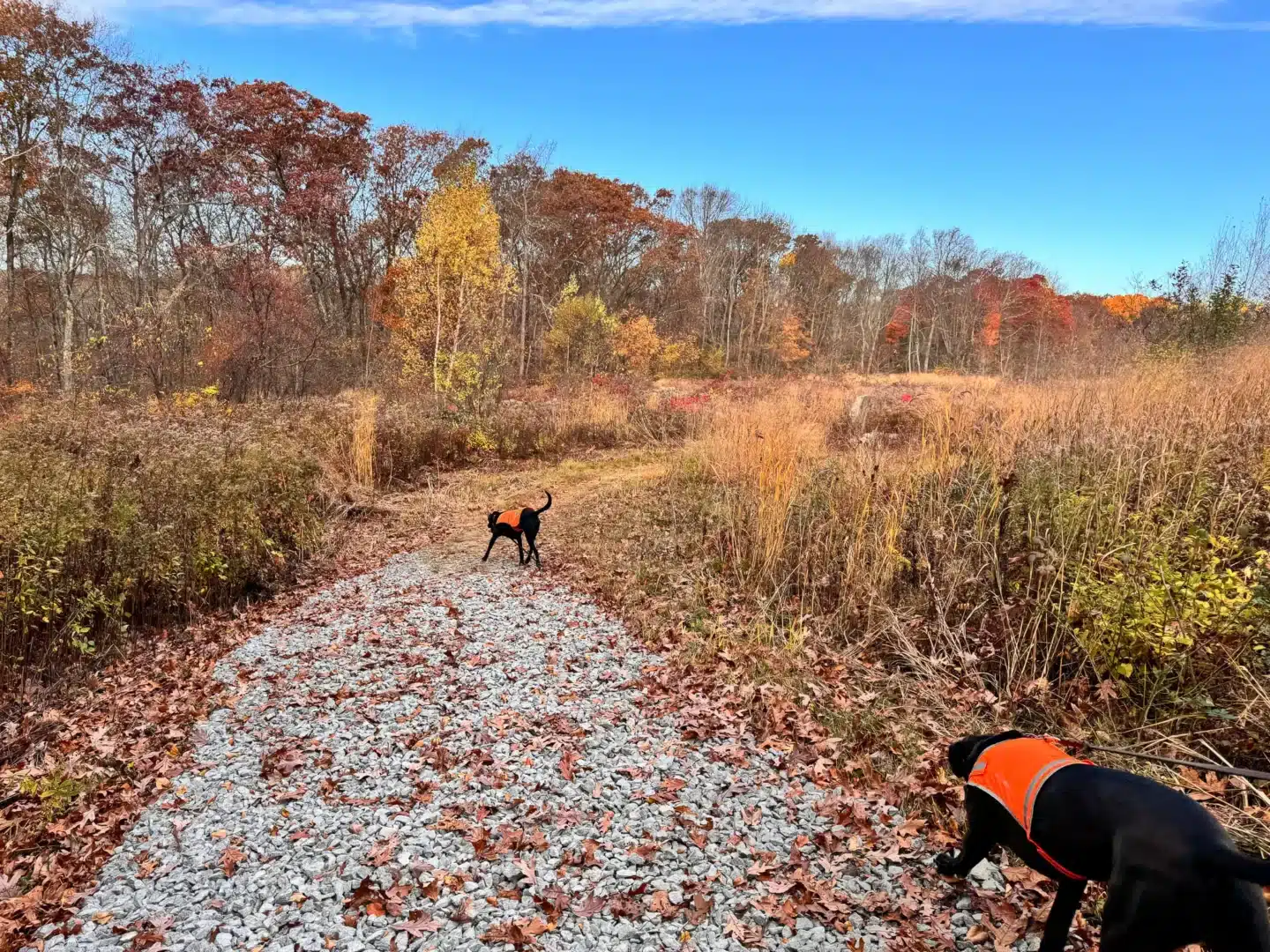
The property, with its expansive meadows, is perfect for leashed dogs to explore the open space. The trails wind through a mix of woodlands and grassy fields, providing plenty of sensory stimulation for curious pups. Additionally, the wide paths make it easy to navigate, even with larger dogs, and there are numerous shady spots for water breaks.
Steere Hill Hike Details:
Starting from the large parking lot on Route 44 (Putnam Pike), you’ll go on the gravel path into the forest and on the red-blazed Steere Hill Trail, taking the loop counterclockwise. After 1.8 miles you’ll complete a loop around Heritage Park before closing the loop to Steere Hill.
🥾LENGTH: 4.78 MILES, LOOP
TIME:1h 55min. Free.
📈ELEVATION GAIN: 344ft
💪🏼DIFFICULTY: EASY
CONDITIONS: Wide gravel and dirt paths
🌟HIGHLIGHTS: Elevated gazebo, open meadows, wide paths, minimal incline
🚗Find the trailhead: Address you could use is 416 Putnam Pike or the GPS Coordinates 41.89403, -71.611
From the Glocester Manon Public Library turn left on Putnam Pike (US-44). After 0.3 miles, bear left to stay on Putnam Pike (US-44). After 3.3 miles you will find a large parking lot and entrance to Glocester Land Trust on your right.
TURN-BY-TURN DIRECTIONS
- From the parking lot walk behind the gate onto the wide gravel path to begin the trail where you’ll see a trailhead sign straight ahead.
- At 0.1 miles, arrive at the trailhead and stay to the right on the red rectangle blazed trail.
- At 0.3 miles, you’ll see a bench and a Steere Hill Trail sign. Stay straight onto the red blazed trail, going clockwise to begin the loop.
- At 0.6 miles, you’ll notice a bench on the left. Continue to stay straight on the red trail.
- At 0.77 miles, you’ll come upon the gazebo with meadow views on the right. You’ll find porta potties here as well.
- At 0.9 miles, you’ll notice a sign for the Woodworth Trail on your left. Continue on the wide path as it bends to the right.
- At 1.06 miles, bear to the left onto the orange blazed trail. The path will lead you out of the open meadows and back into the woods now.
- Optional: At 1.21 miles, bear to the left to head towards a little pool of water for the dogs. Which is just 100 feet ahead. After visiting the water, get back on the trail, turning left onto the orange trail to continue on.
- At 1.45 miles, you’ll see a sign for Andrews Trail, take a left here to walk along the white blazed trail.
- At 1.8 miles, you’ll come to a fork where you will begin a small loop around Heritage Park. Turn right onto the Red Dot trail to begin this loop counterclockwise.
- At 2.20 miles, bear right to continue staying on the Red Dot trail. You’ll notice big rock formations on your right.
- At 2.30 miles, bear to the right to continue staying on Red, where you will walk cross a little bridge.
- At 2.42 miles, you’ll see a gate and parking area to the right. Stay straight onto the Blue Triangle trail.
- At 3.04 miles, the trail curves around to the right where you will notice a red blaze.
- At 3.08 miles, you’ll have completed the loop Heritage Park Loop and arrive back where this small loop began. Turn right to walk back on the White Rectangle trail.
- At 3.40 miles, you’ll see the Andrews Trail sign where you’ll stay straight to continue until the white trail.
- At 3.47 miles, you’ll reach the large meadow again, stay to the left here.
- At 3.5 miles, you’ll see a Heritage Trail sign. Turn left picking up the Beech Trail where you may notice green blazes.
- At 3.70 miles, the trail curves around to the left where you’ll shortly see another fork in the trail and a sign that says Ridge Trail. Bear left to pick up the Ridge Trail where you will see Purple Dot blazes.
- At 3.83 miles, continue staying straight on the purple trail.
- At 3.93 miles, you’ll come to a fork in the trail. Stay left onto the purple blazed Ridge Trail.
- At 4.12 miles, take a right to continue on the Purple Dot Trail.
- At 4.40 miles, continue to stay straight onto the Orange Triangle Trail.
- A 4.44 miles, you’ll arrive back at the main trail where you began the first loop. Turn left onto the Steere Hill red blazed trail where you’ll see the bench ahead. Continue the path out to the parking area to complete the hike.
I hope you enjoyed this post all about hiking Steere Hill in Rhode Island!

And if you’re looking for another scenic fall hike in Rhode Island check out my post 🌟Hiking Belleville Pond in North Kingston, RI🌟