Hike the Pattaconk Reservoir Loop in Cockaponset State Forest
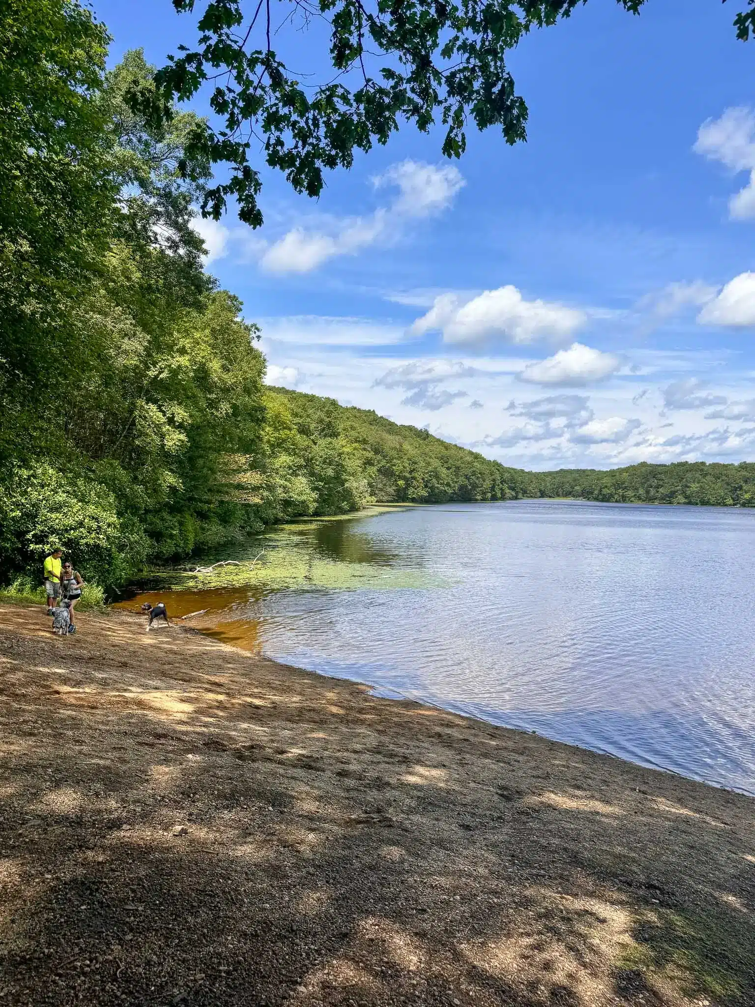
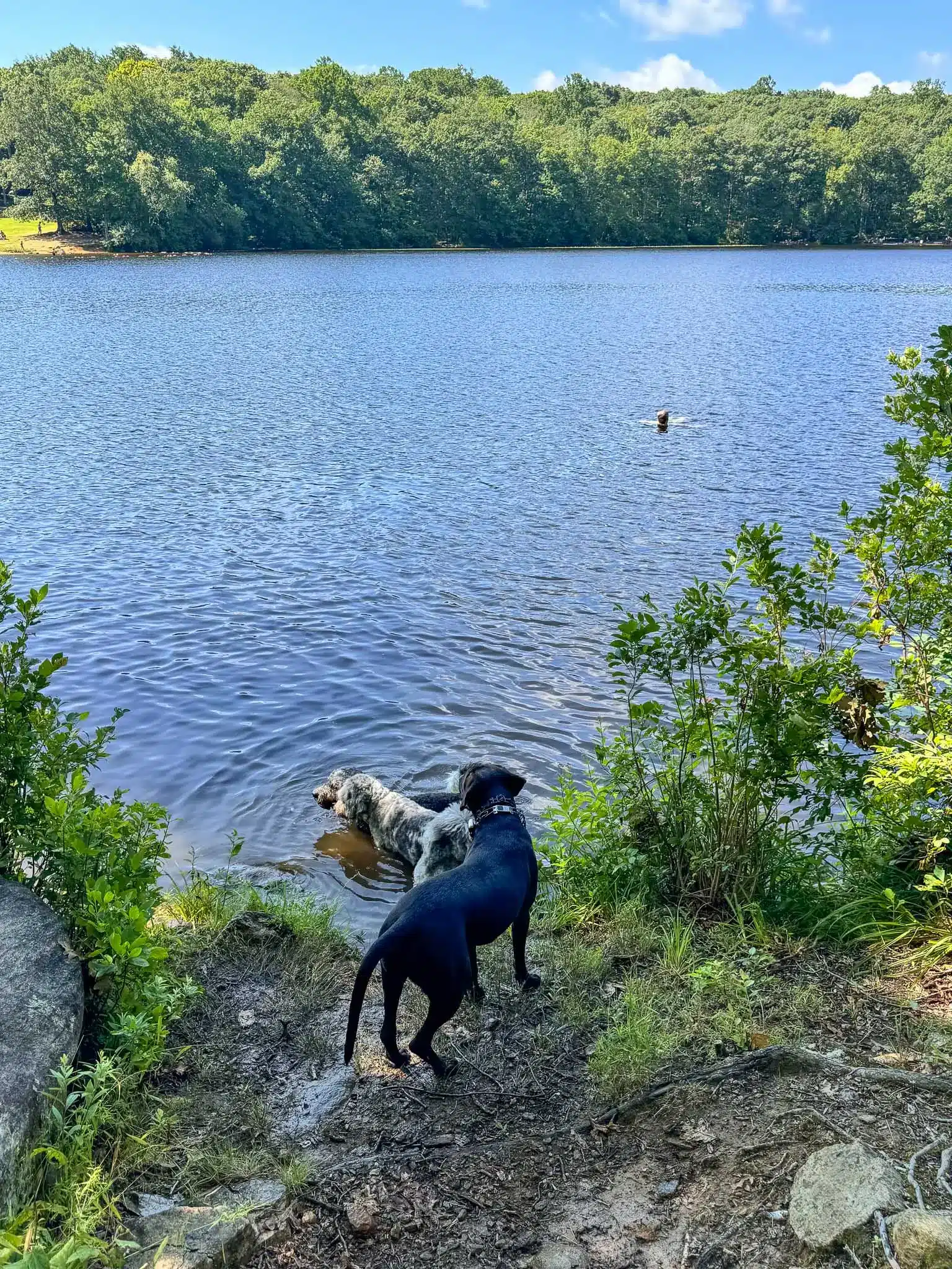
Walk along the scenic trails that hug the 56-acre Pattaconk Reservoir with views of the water and lots of opportunities for the dogs to swim!
In this post, you’ll learn all about this loop around Pattaconk Reservoir including where to park, trail details, and turn-by-turn trail directions so you can’t get lost! ☺️
Living in Connecticut in Hartford County, I love driving to the little town of Chester where this hike is located. There are so many cute cafes and great restaurants and unique shops in downtown Chester. It’s fun to make a day of it and combine this hike with a visit to the downtown!
The charming town of Chester, Connecticut, settled in the late 1600s and incorporated in 1836, has a rich history in shipbuilding and milling given its location along the Connecticut River.
Today, its quaint downtown and natural beauty draw visitors year-round, and I love how dog-friendly it is with dog water bowls outside various shops and restaurants. After this hike we ate outside with the pups at Pattaconk 1850 Bar & Grill.
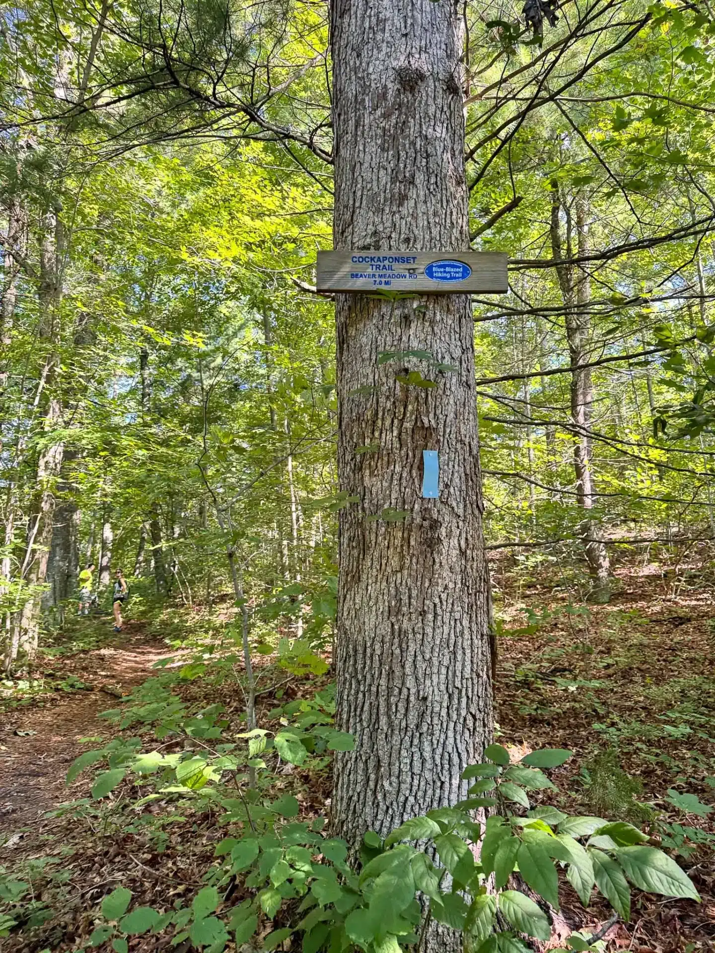
Near downtown Chester is the Blue Cockaponset Trail, winding through Cockaponset State Forest’s 17,000+ acres and along the coastline of Pattaconk Reservoir.
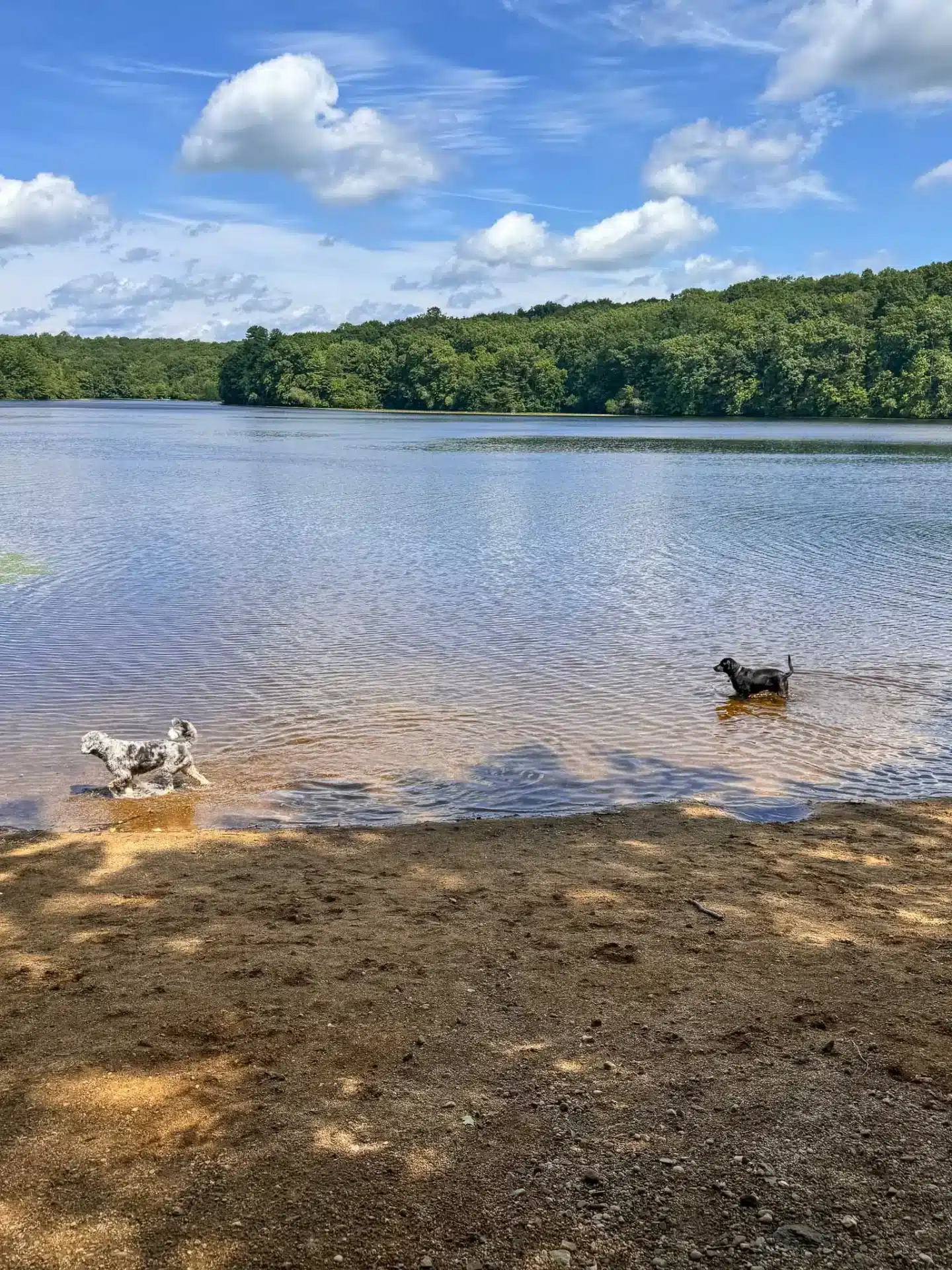
A distinct highlight of the trail, aside from the many dips the dogs will enjoy, is the serene reservoir itself, where hikers can enjoy peaceful waterfront views surrounded by forested hills.
Pattaconk Reservoir Loop Trail Guide
- Miles: 5.39 miles
- Elevation: 453 ft elevation gain
- Level: Moderate (relatively easy considering little elevation gain)
- AllTrails link 🔗
- Trail Type: Loop
- Average Time: 2 hours 30 minutes
- Parking:
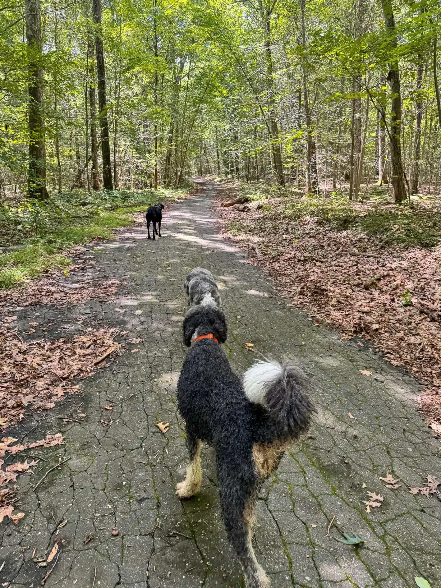
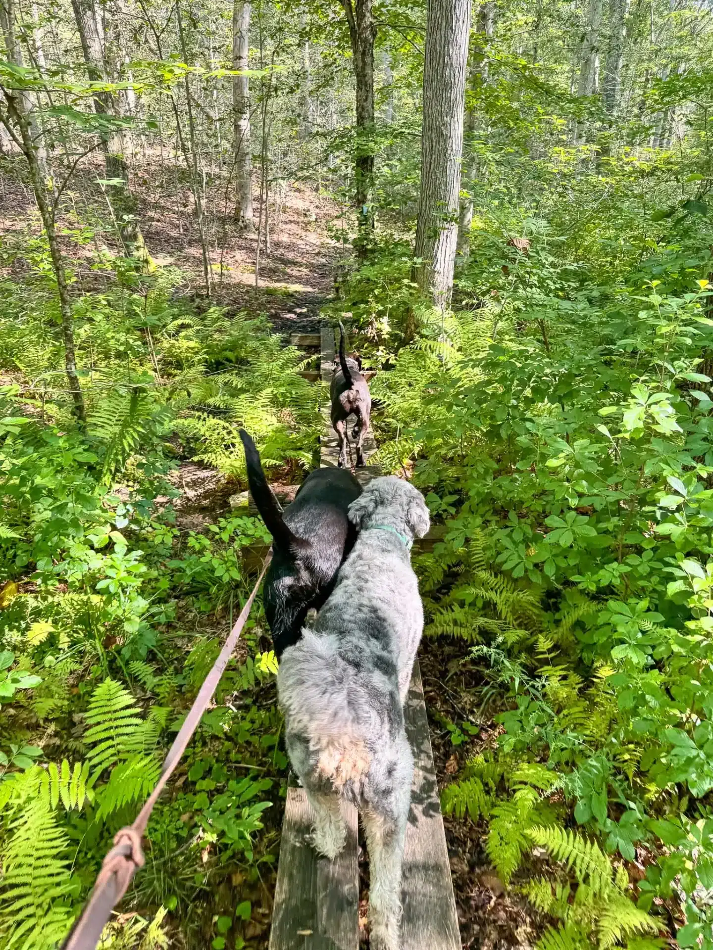
- Dog-friendly: very! no big scrambles or jumps here, a relatively flat (minimal incline) trail with lots of swimming opportunities
- Trail Highlights: Trail hugging the water with lake views, forested shaded trail
🚘 Find the trailhead: From downtown Chester at the Chester Public Library, turn left heading west on W Main Street (CT-148). Drive for 3.6 miles southwest on W Main Street (CT-148) until you arrive at the trailhead and place to park at 41.39127, -72.51481 or 269 W Main Street.
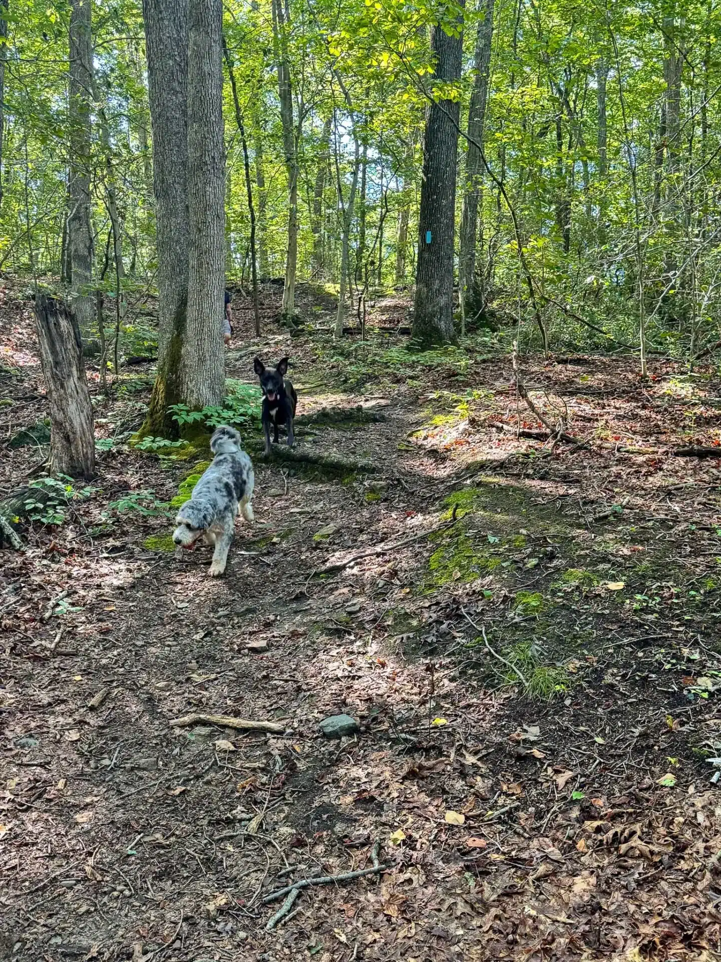
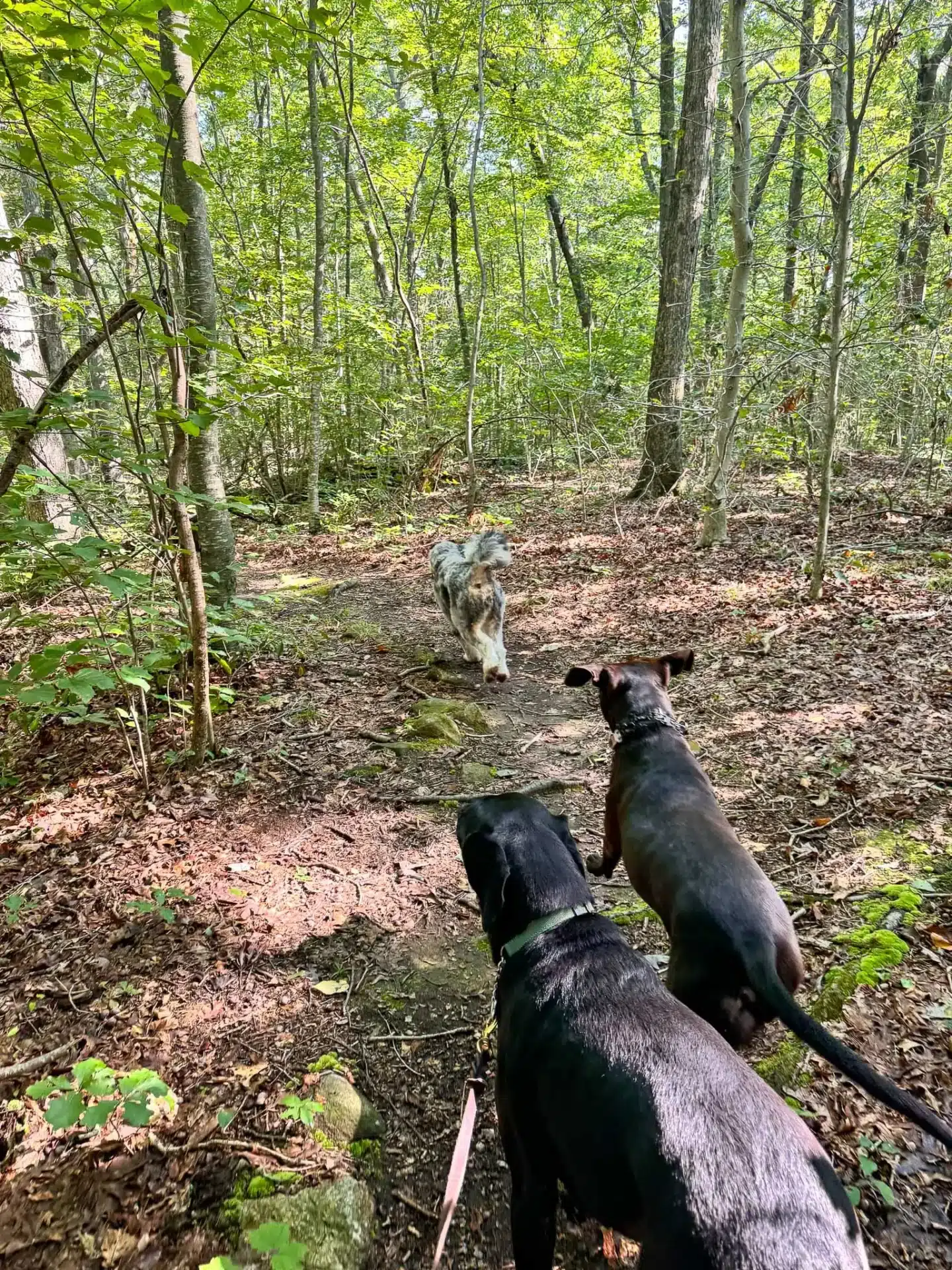
The Blue Cockaponset Trail, beginning from a parking area off of the north side of Route 148, quickly takes you into its scenic woodland trails and diverse forest landscapes, a quieter atmosphere perfect for exploring with pets. The trail features some diverse terrain, including pine forests, rocky outcrops, and reservoir shoreline where your pups can cool off on warmer days.
Part of Connecticut’s extensive Blue-Blazed Trail System, Cockaponset is named after a Native American chief, and its trails span over 16 miles through the second-largest state forest in Connecticut.
The trail begins with a 1.5 mile walk into the forest that leads to Pattaconk Reservoir. The next 2.3 miles leads you on a trail that hugs the reservoir, looping around counter clockwise and providing views of the water and several opportunities for the dogs to swim before walking the 1.5 miles back out to the car.
🧭 TURN-BY-TURN DIRECTIONS 🗺️
- From the parking lot, walk north across W Main St to find the start of the trail and enter the trail on the right side to walk the loop counter clockwise.
- At 0.40 miles, bear right on the blue yellow trail (you’ll see two markers on the trees).
- At 0.50 miles, you’ll cross another stream and start to see blue trail blazes on the trees.
- At 1.20 miles, you’ll come to an intersection with mountain biking trails, continue to go straight on the blue blazed trail.
- At 1.57 miles, turn right onto the yellow trail and cross the wooden bridge.
- At 1.67 miles, turn right onto State Forest Road, a paved road where you’ll walk for just a couple hundred feet.
- At 1.72 miles, turn left on the yellow blazed trail and head back into the woods.
- At 1.8 miles, you’ll arrive at the Pattaconk Reservoir Dam, continuing uphill where you’ll be walking closely along the right side of the water. You’ll see yellow blazes on the trees here.
- At 2.05 miles, you’ll come across picnic tables and a lean-to for camping on your left.
- At 2.20 miles, continue along the yellow blazed trail.
- At 2.40 miles, bear left to walk on the wide gravel path which is still the yellow trail.
- At 2.71 miles, bear left to stay on the yellow trail where you’ll start looping around to the other side of Pattaconk Reservoir.
- At 2.8 miles, stay left again to take the trail closest to reservoir.
- At 3.77 miles, walk across the bridge and bear left toward the water on the blue and red blazed trail.
- At 3.85 miles, turn right to walk towards a small parking lot and find the yellow blazed trail entrance on the right side of the lot.
- At 4 miles, turn left to start walking on the blue blazed trail.
- At 4.05 miles, turn right on the paved Filley Road, an old logging road, which you will take all the way back to the start of the trail.
🩷 I hope you enjoyed this post all about hiking the Pattaconk Reservoir in Cockaponset State Forest in CT! 🌲🌲
⬇️ Comment below if you have any questions about this hike or after you’ve done it – I’d love to hear how it went! 🙂