Best Route Up Mount Greylock: A Moderate 4.7 Mile Loop
So you want to hike to the top of Mount Greylock – the tallest mountain in Massachusetts?! If this is your first time, then you’ll love this moderate 4.7-mile route up Greylock.
While the route described here is the easiest and most moderate trail up Mount Greylock, you cannot access this trail from November to April. So, if you are looking for a winter hike up Greylock, then check out my post ✨ 4 Different Hikes up Mount Greylock✨ and go to the second route on that list.
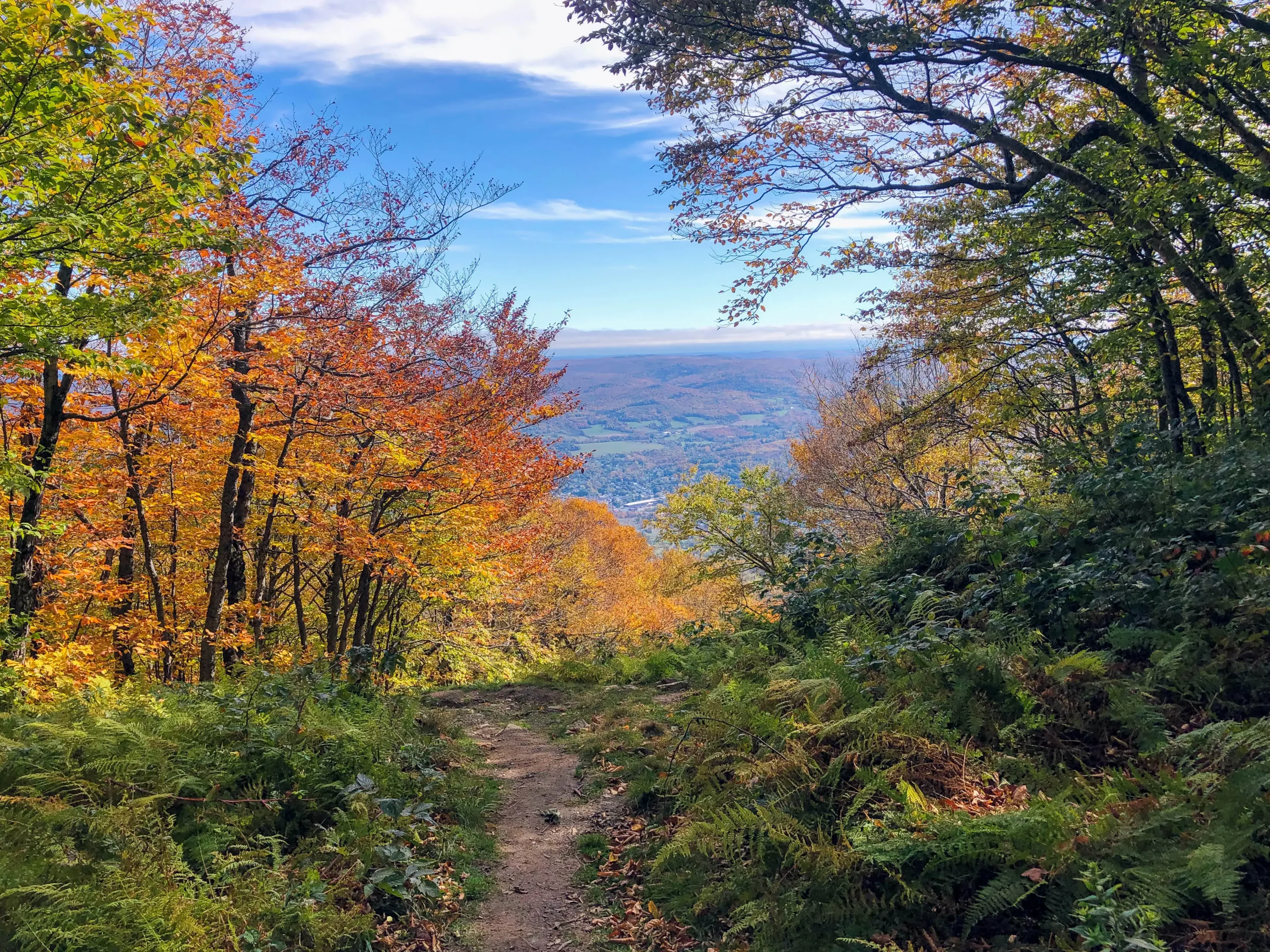
Having lived in the Berkshires for several years and now living just over the line in Connecticut, Greylock is my go-to when I want a local challenge with big views. I’ve hiked here in every season yet fall is definitely a favorite!
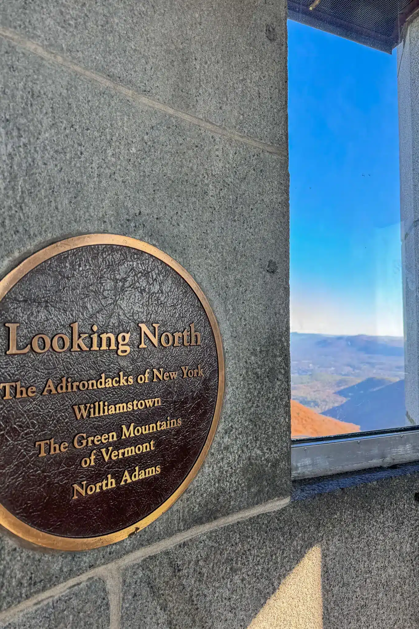
At the top of Greylock, walk up the Veterans Memorial Tower for sweeping views into five states as well as bragging rights for climbing Massachusetts’ tallest mountain with this moderate 4.7-mile loop.

This hiking guide includes where to park, GPS coordinates to get there, trail details, highlights, and turn-by-turn directions that you can either print or maybe take a photo of if you’d like to use them on the trail! 🙂
So let’s get it! The most moderate route up Mount Greylock, starting with some of the basics…
🗺️ Mount Greylock Location:
Adams, Massachusetts, a charming little New England town in Berkshire County, was settled in 1762 and named after one of the United States’ Founding Fathers, Samuel Adams. The town’s history is deeply rooted in the American textile industry, which thrived in this area in the 19th century, shaping Adams as a manufacturing hub. Just a bit to the west is Mount Greylock, Massachusetts’ highest peak at 3,491 feet.
Greylock History:
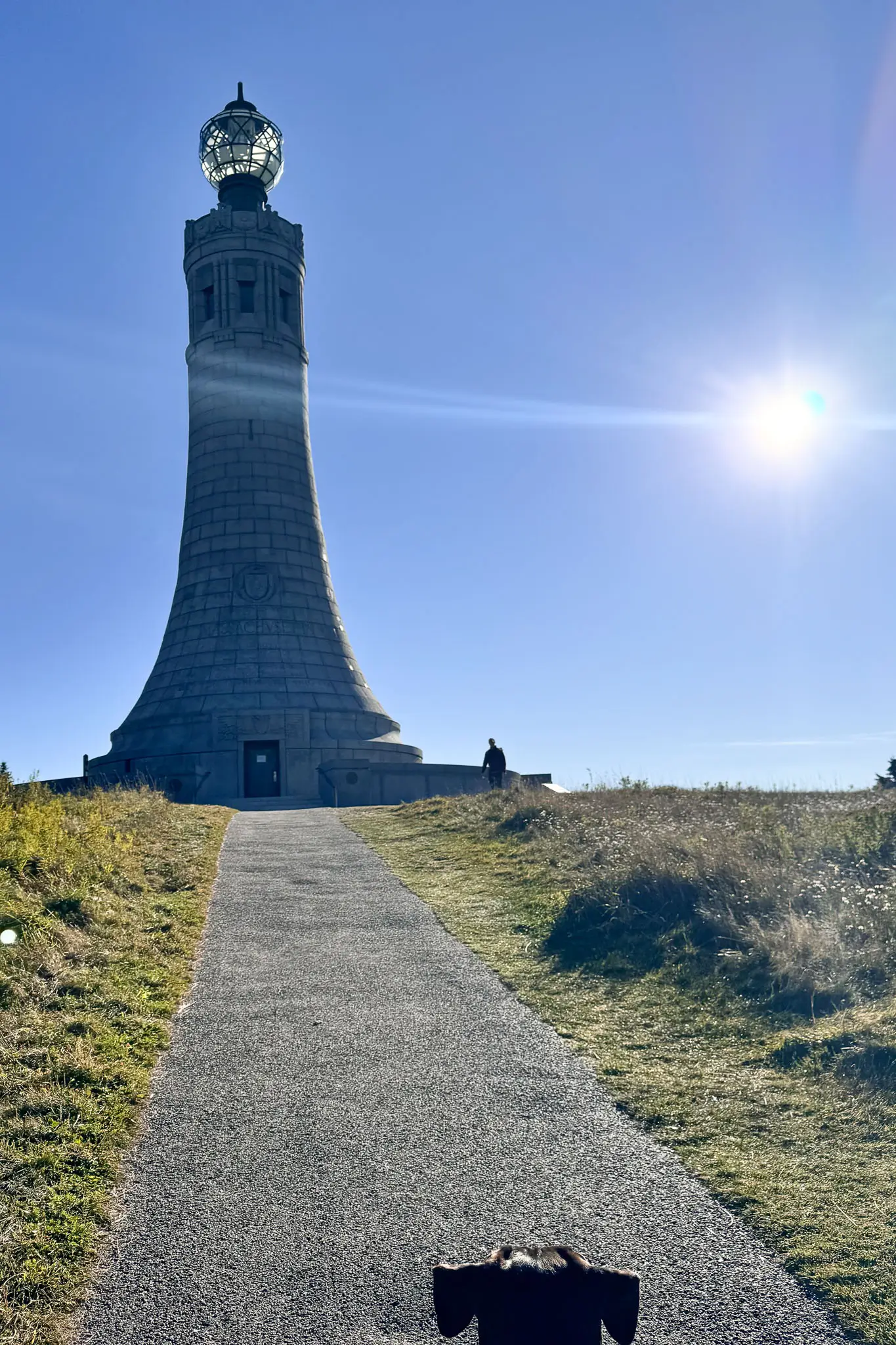
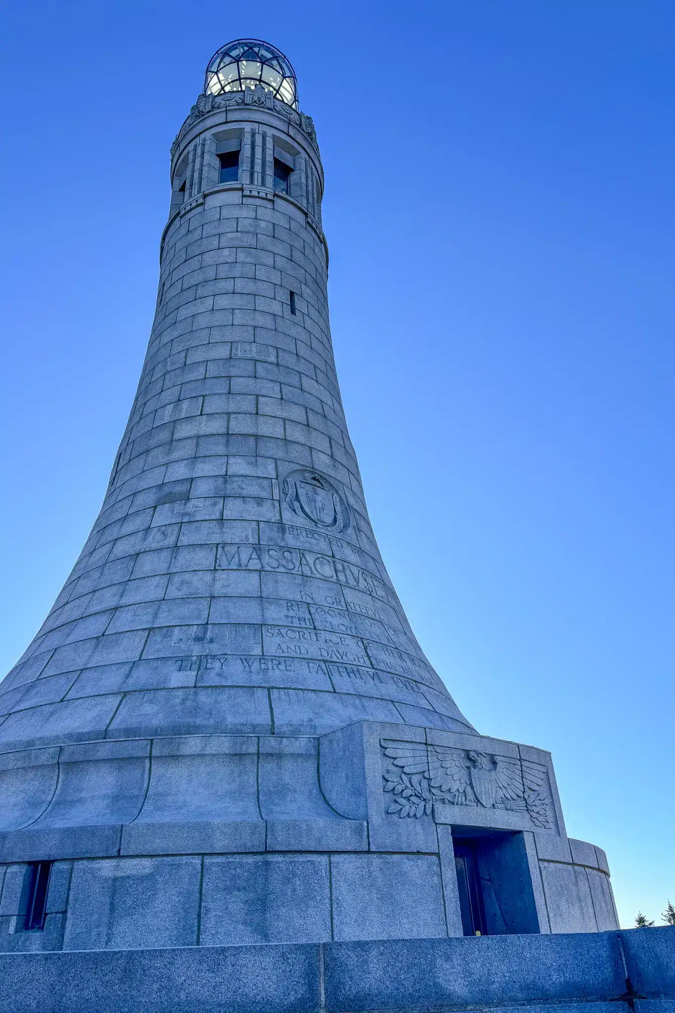
Renowned for its sweeping unobstructed vistas, Mount Greylock has inspired famous literary giants like Herman Melville, who wrote much of Moby-Dick while gazing at its lofty peaks. The towering War Memorial Tower atop the mountain, built in 1933, stands as a tribute to the state’s fallen soldiers and offers incredibly beautiful panoramic views of five states on clear days.
Trail Overview:
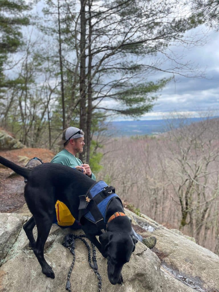
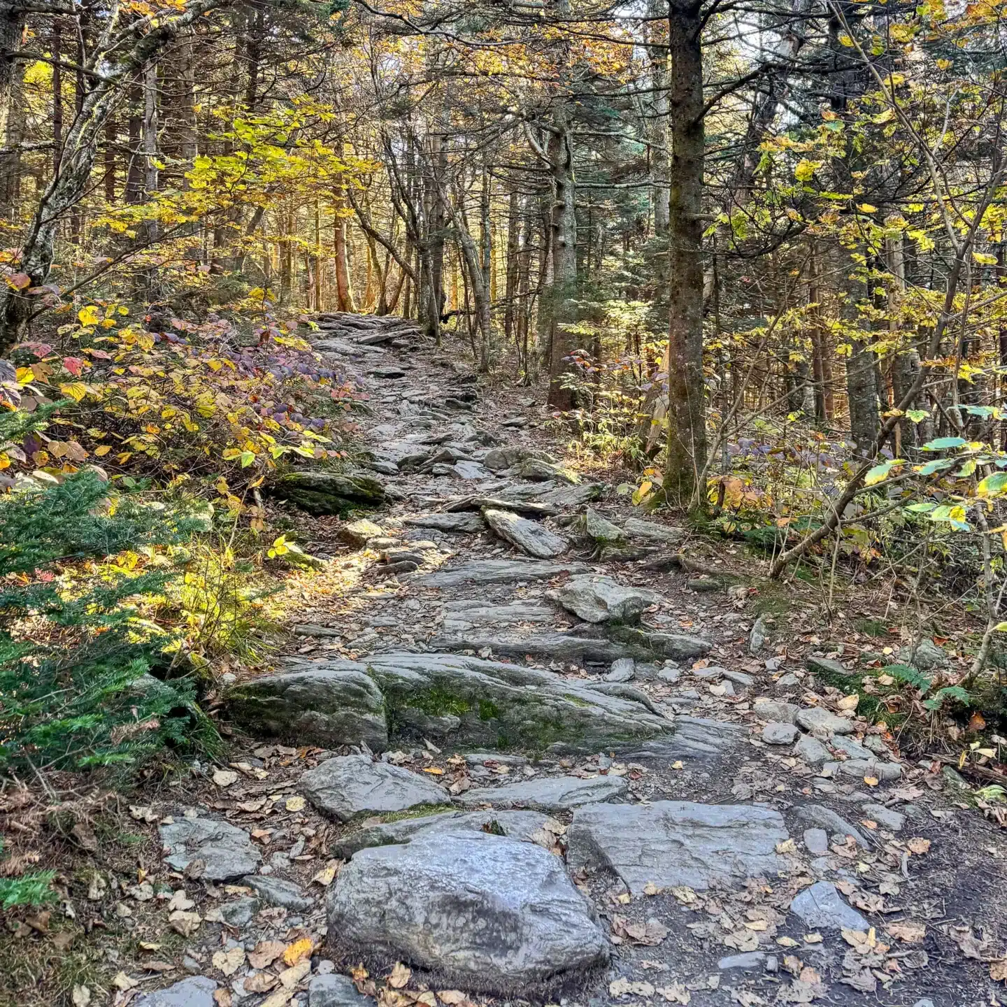
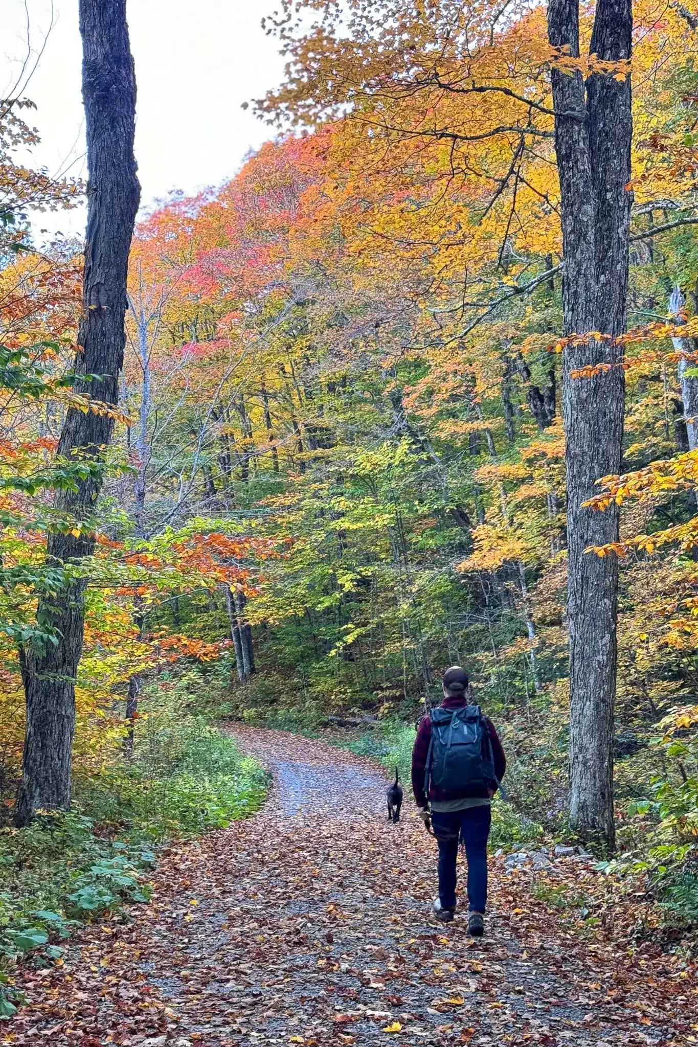
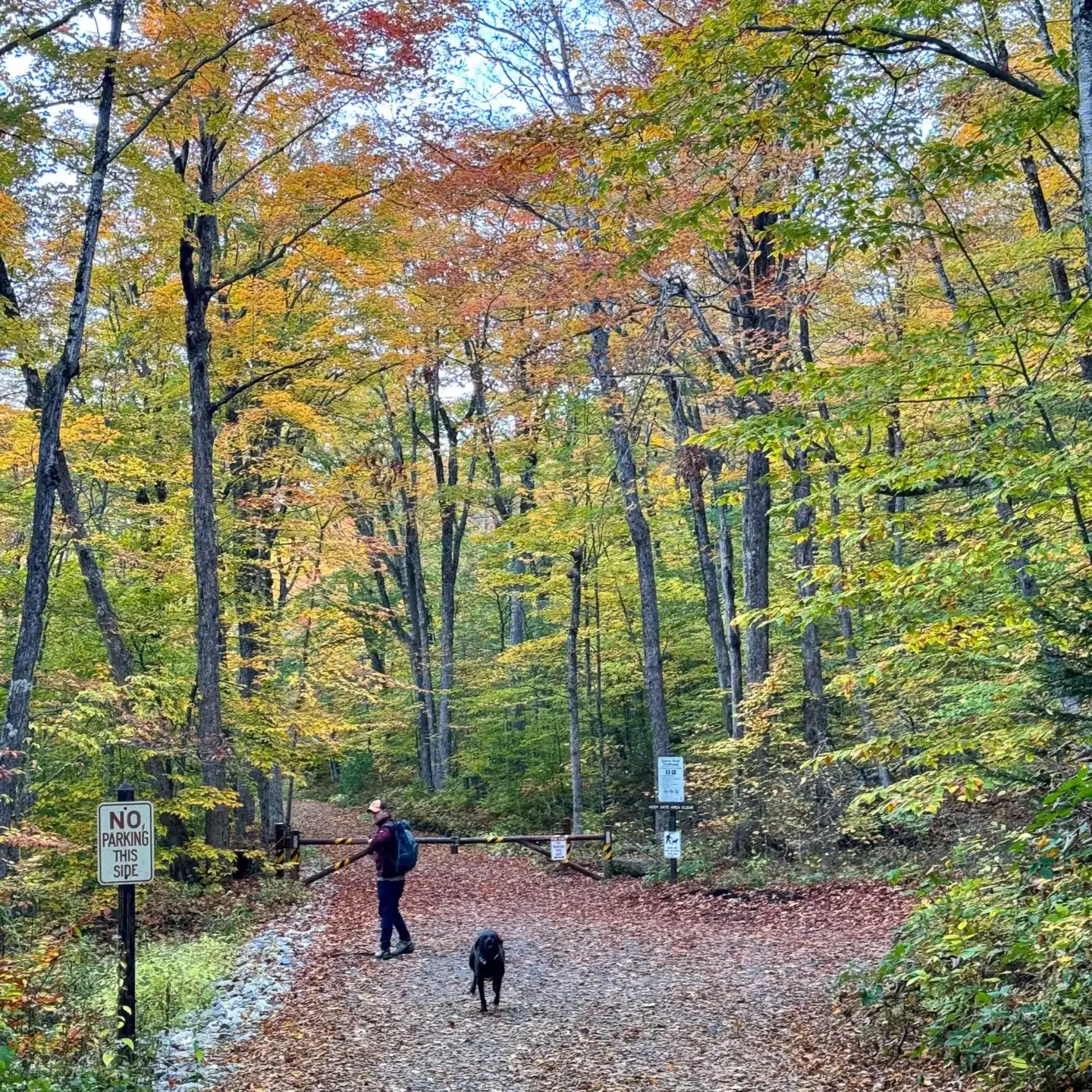
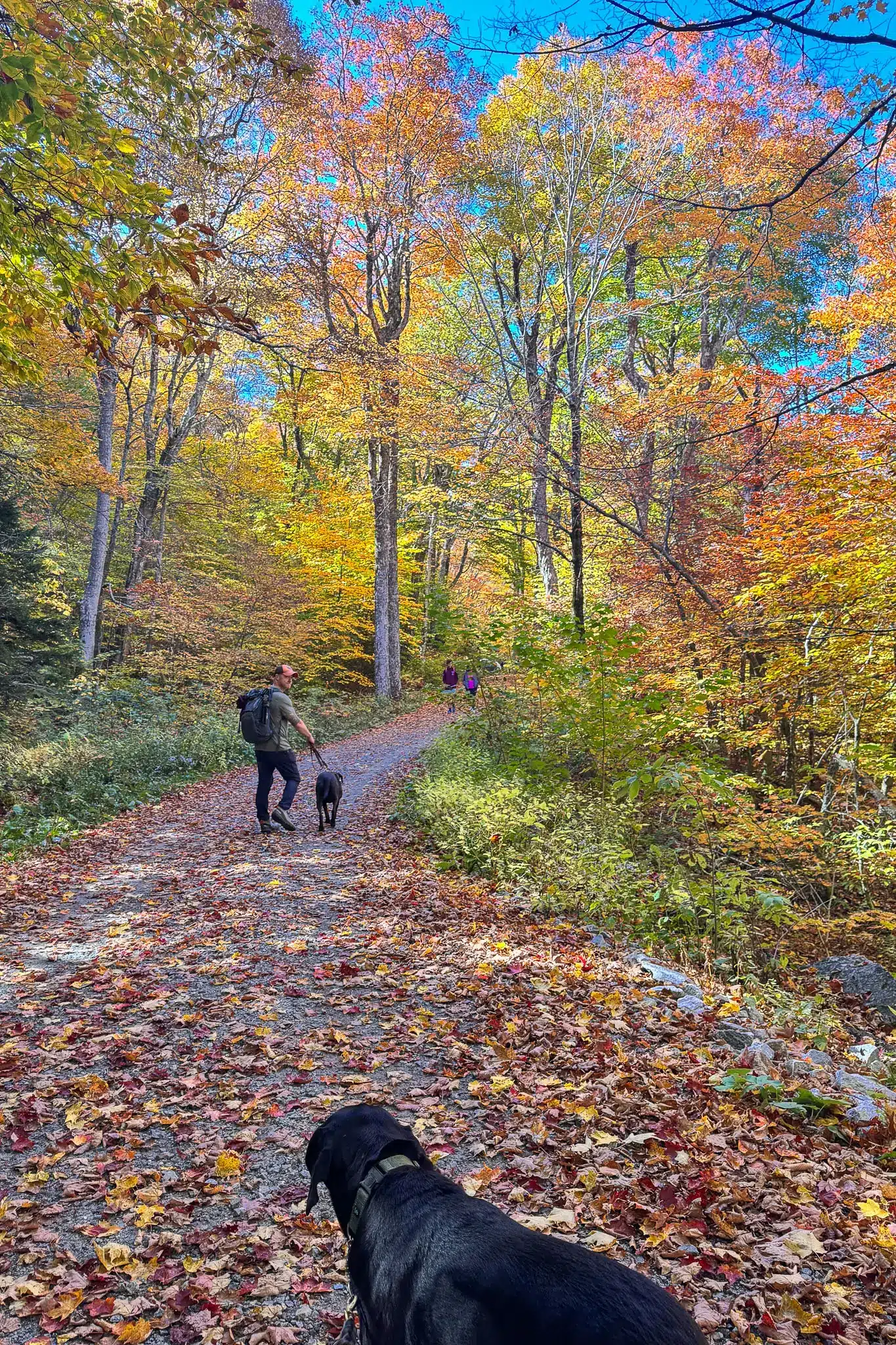
Starting at the CCC Dynamite Trailhead Parking area, the path begins across the street along the gravel path of Sperry Road. Entering the woods, Sperry Road soon connects to the Hopper Trail, where you will begin a gradual ascent. Your pups will love the variety of terrain here, from soft forest floors, rocky outcrops, as well as the cool shade provided by the dense trees.
After one mile in, the Hopper Trail intersects with the Overlook Trail which is where the loop portion begins. The directions below take you counterclockwise around the loop and get you up to the summit of Greylock in a shorter but steeper route.
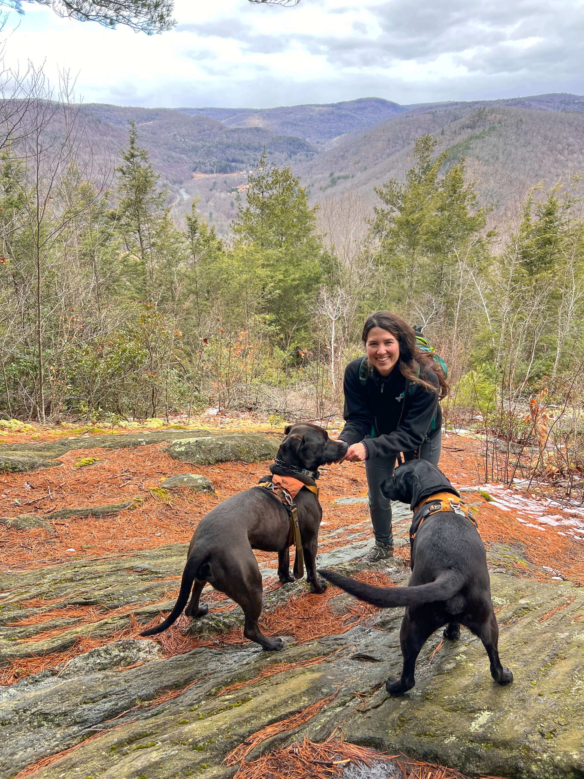
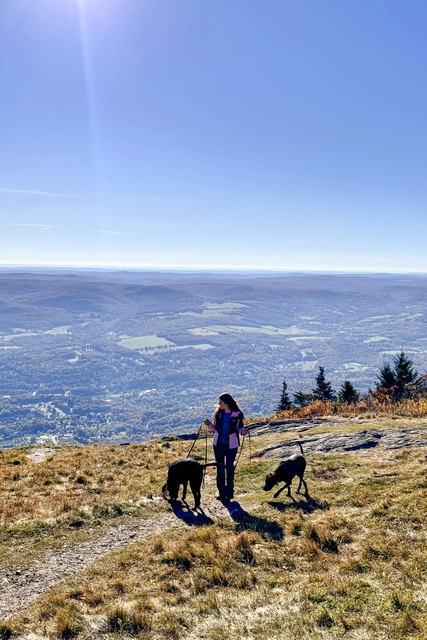
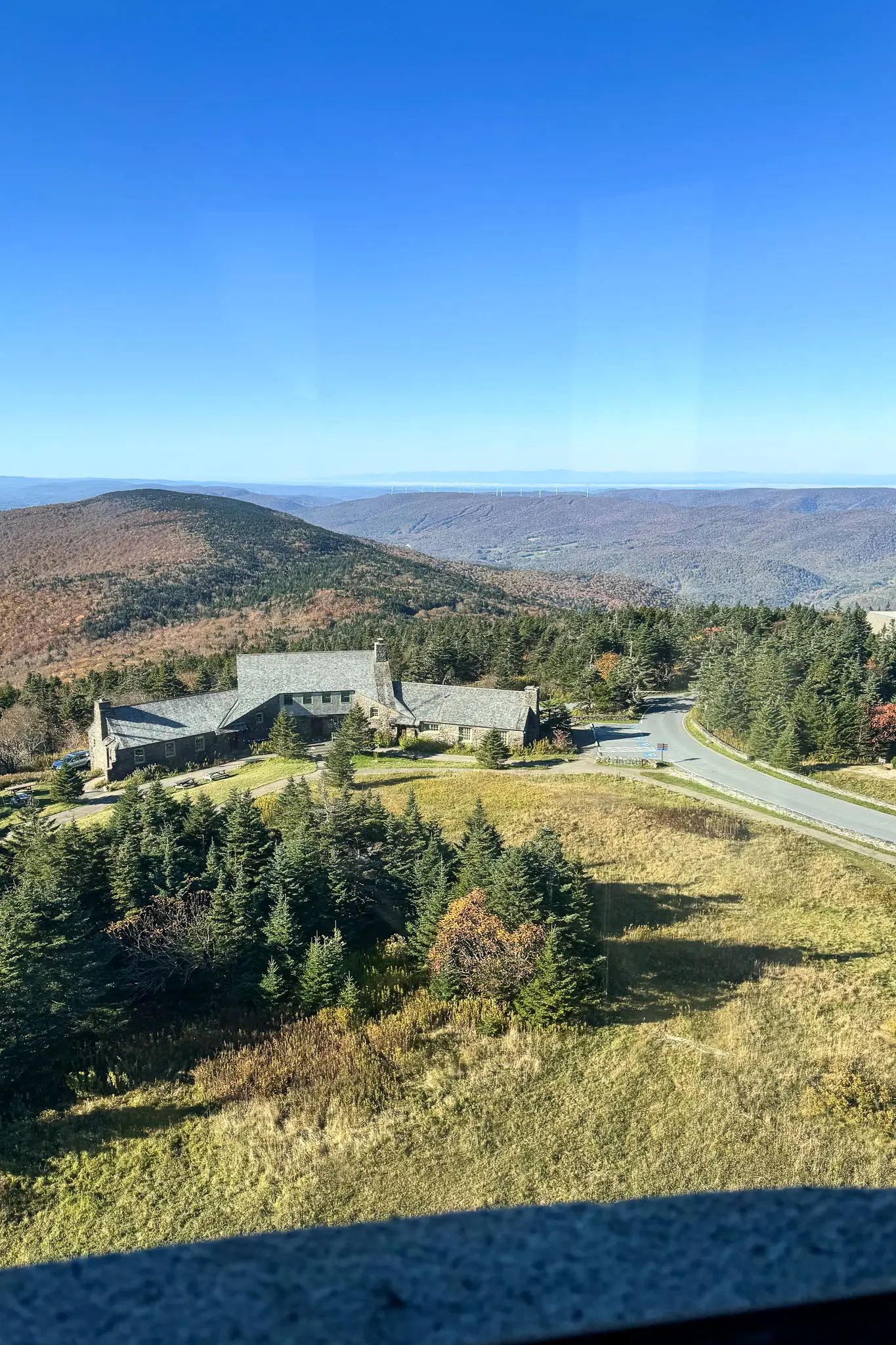
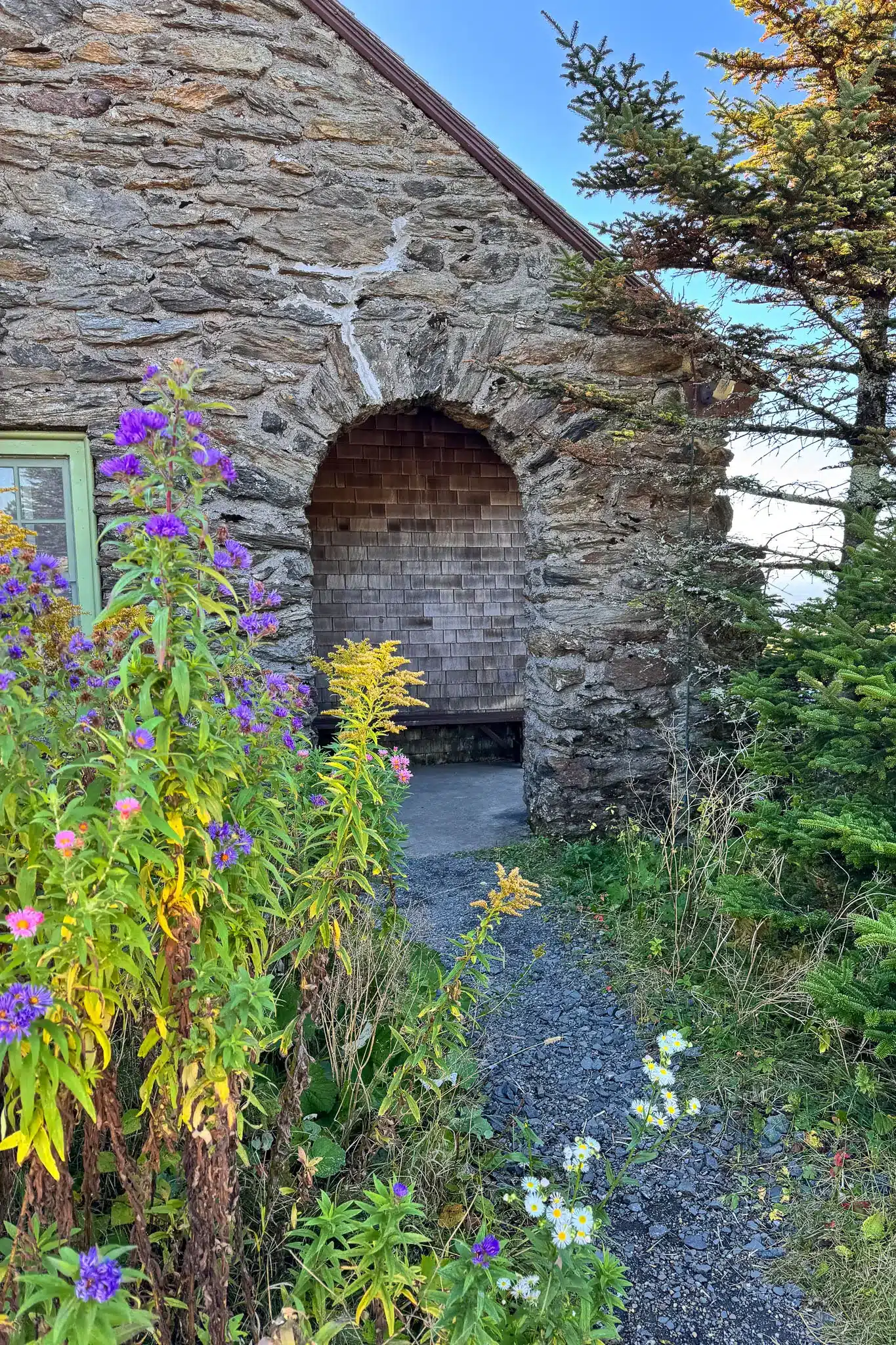
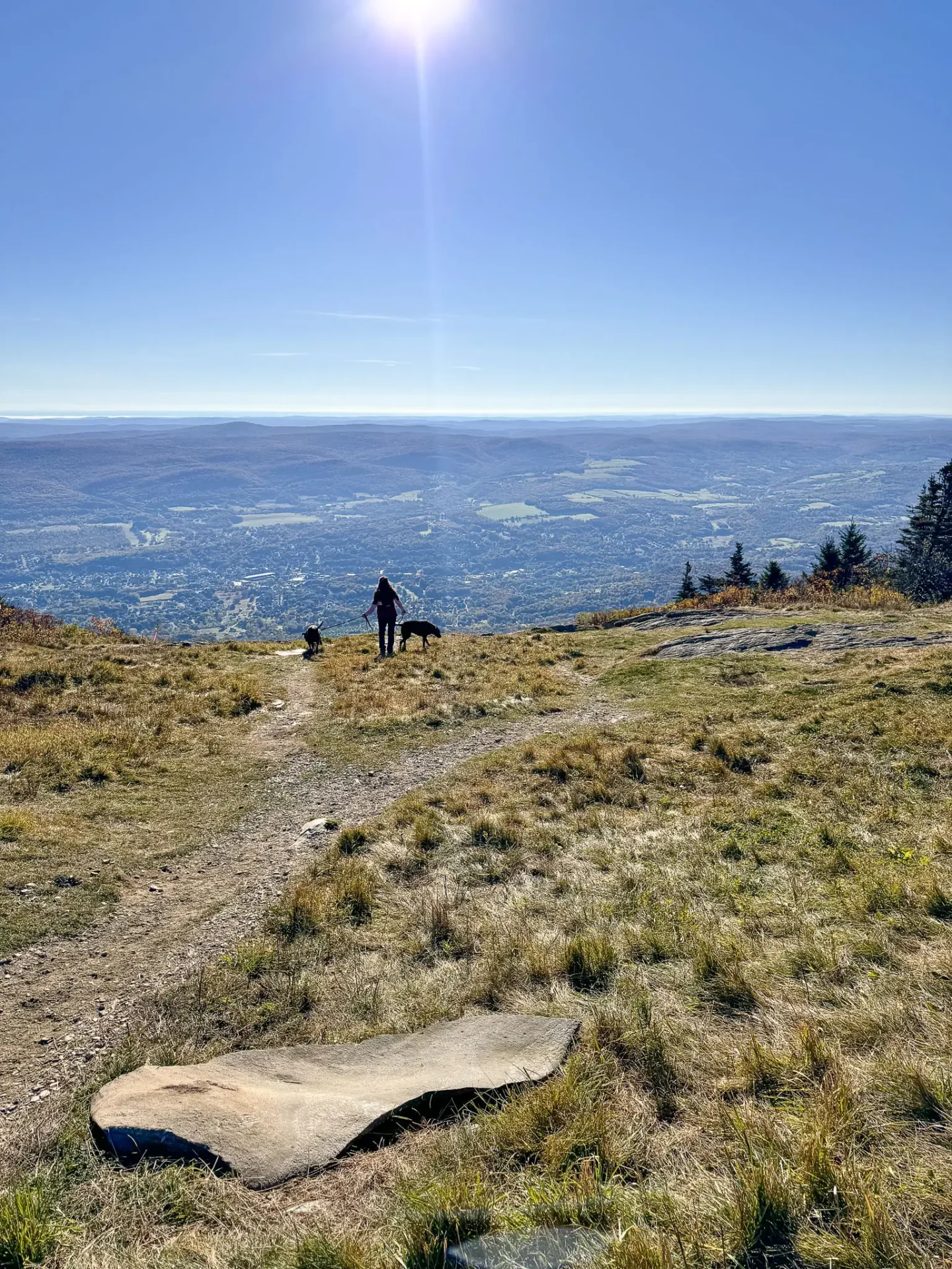
Once at the top, you’ll find the summit area open and spacious, allowing for a relaxing break while you and your pups roam around and take in the breathtaking views all around you. Be sure to stop in Bascom Lodge for a hot chocolate or bakery treat if you’re visiting when it’s open, which is Wednesday to Sunday. After taking in the views, you can climb the 89 steps up the Veterans War Memorial Tower (open seasonally) which stands as a memorial to the men and women of Massachusetts who have fallen while serving in war.
🌟 Mount Greylock Hike Details: Sperry Rd & Hopper Loop
🚗 GPS COORDINATES FOR TRAILHEAD: 42.62444, -73.19044
🌲HIKE NAME ON ALLTRAILS: MOUNT GREYLOCK VIA SPERRY ROAD AND HOPPER TRAIL
📍LOCATION: LANESBOROUGH, MA
💪🏼 HIKE TYPE (DIFFICULTY): MODERATE
🥾 LENGTH: 4.7 MILES (LOOP)
📈 ELEVATION GAIN: 850 FT
🗓️ SEASON: ROAD OPEN MID-MAY TO END OF OCTOBER
💲 FEES: NONE
🌟 TURN-BY-TURN TRAIL DIRECTIONS 🌟
FIND THE TRAILHEAD: From the Mount Greylock State Reservation Visitor’s Center continue heading north on Rockwell Rd until you reach the GPS coordinates provided. You will see the sign for CCC Dynamite Parking on your right with several parking spaces.
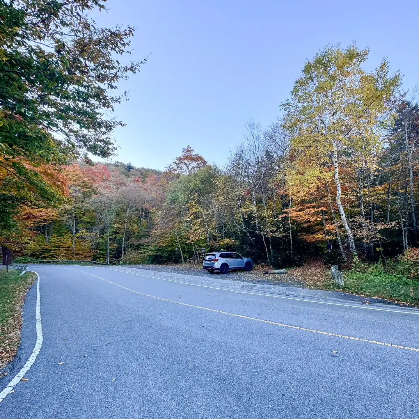
- From the parking lot on Rockwell Road, walk across the street to the gravel path with the Sperry Road trail sign to begin the hike.
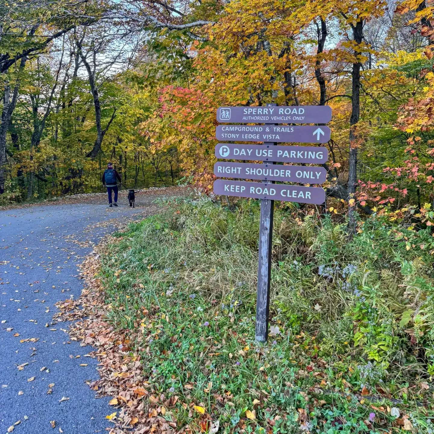
2. At 0.3 miles bear right to leave Sperry Road and pick up the Hopper Trail where you will start to see blue blazes.
3. At 1 mile encounter the loop portion of the trail, turn right onto the Overlook Trail where you will begin the loop counterclockwise.
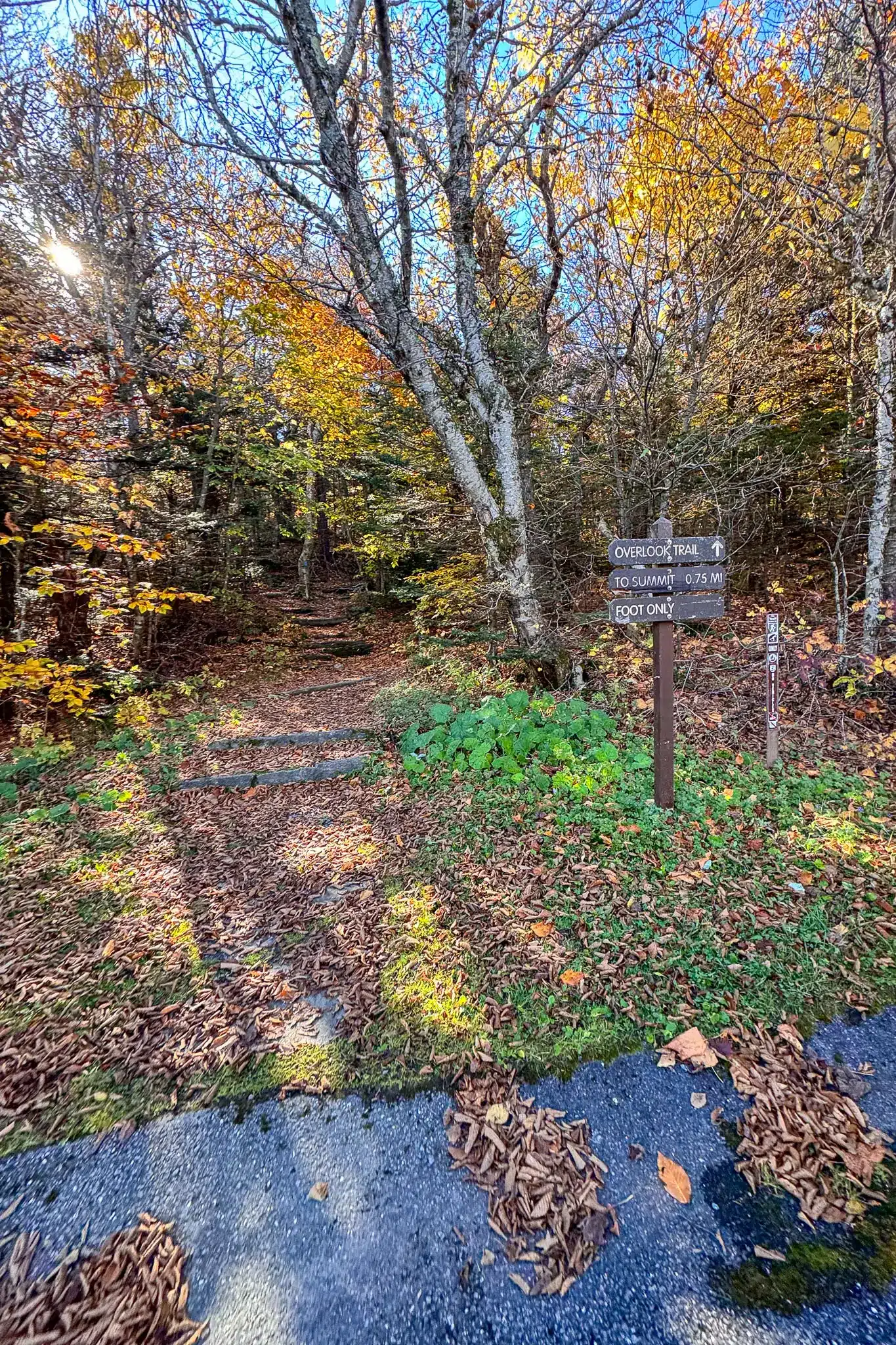
4. At 1.28 miles bear left where you will see the Summit to A.T. sign.
5. At 1.38 miles, bear left, walking away from the road, and walk along the wooden planks.
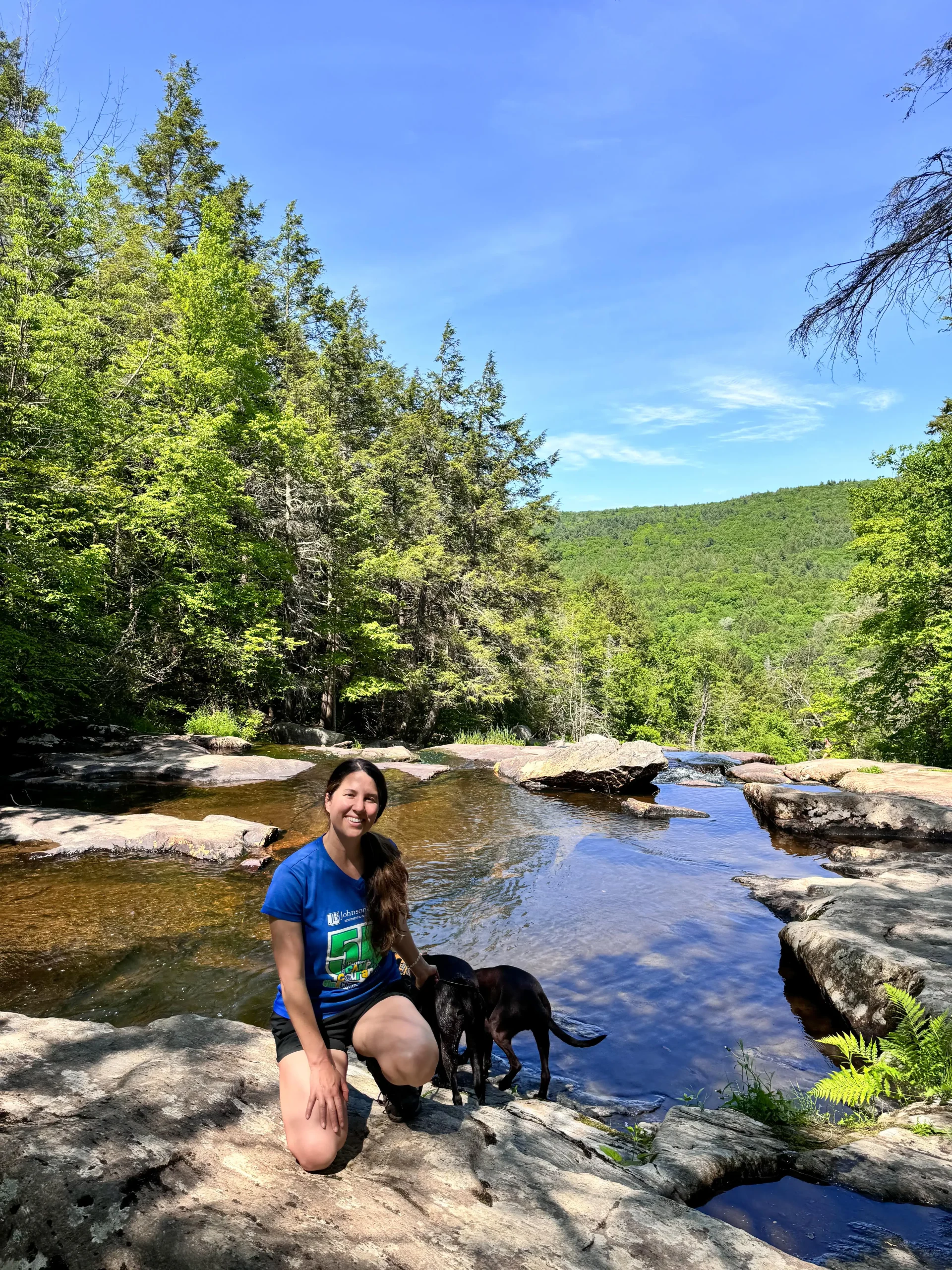
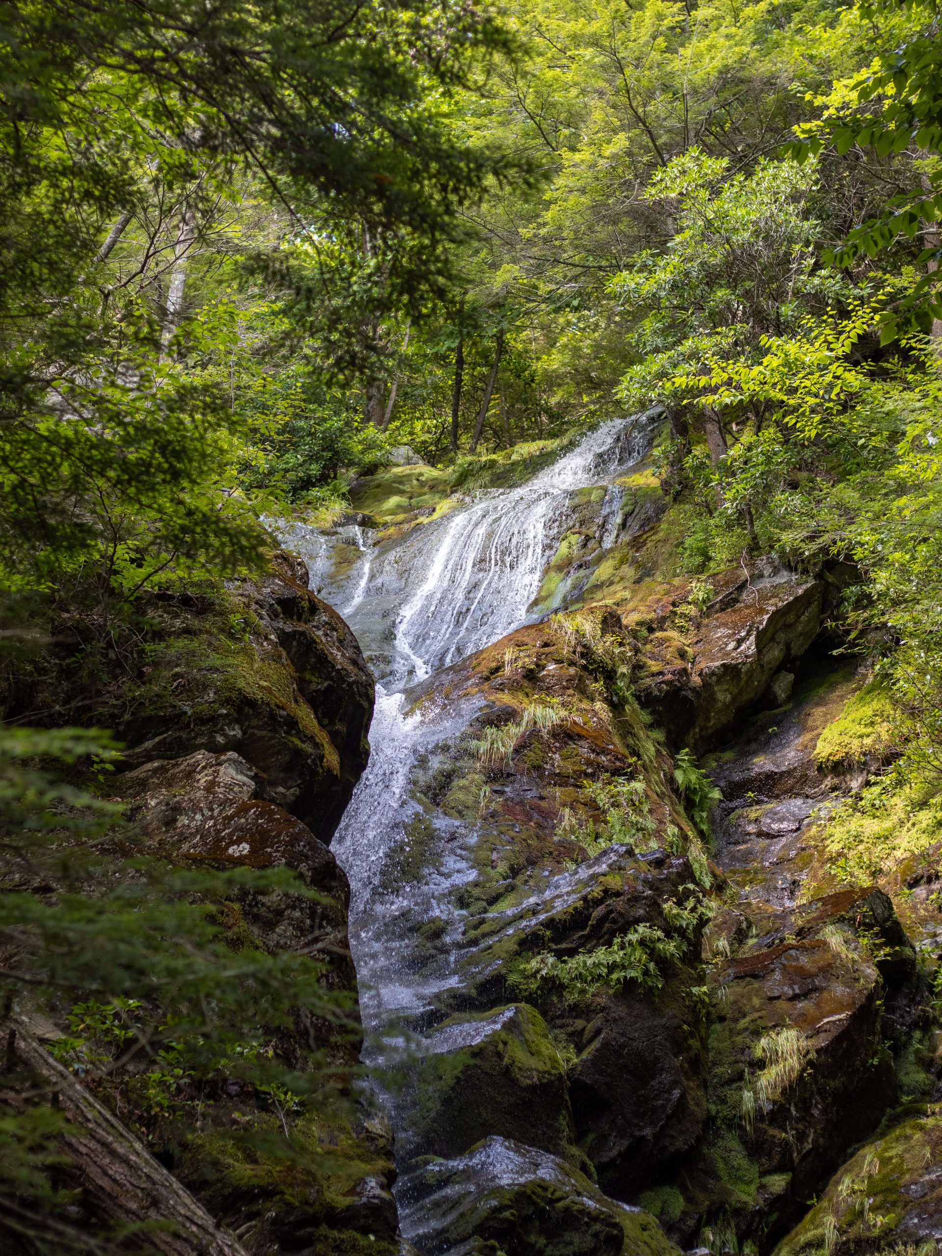
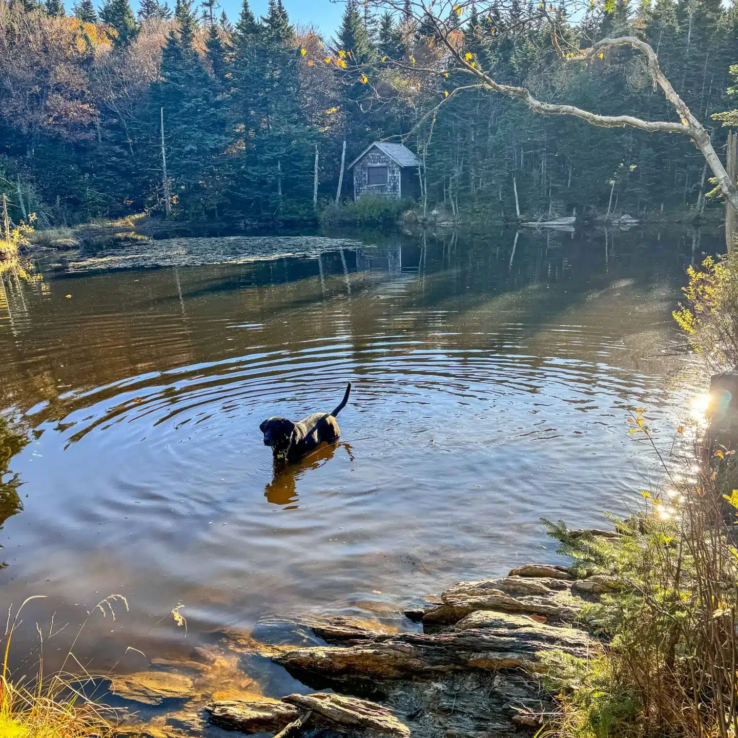
6. At 1.45 miles you will arrive at Rockwell Pond where the dogs can go for a swim.
7. At 1.5 miles the trail will pop out onto Rockwell Rd. Cross the road and walk to the left and enter back into the woods where you will see an Appalachian Trail and Greylock Summit sign.
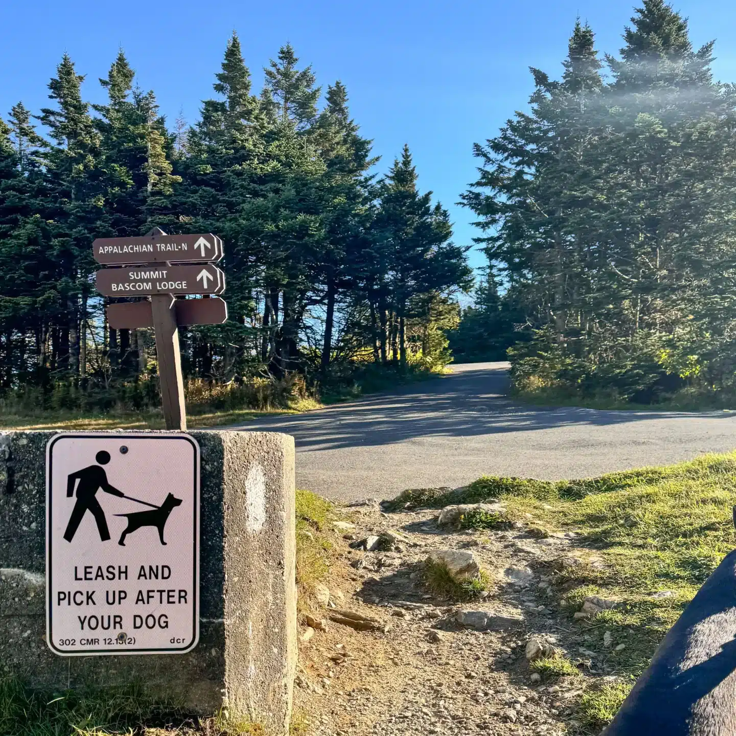
8. At 1.55 miles cross Summit Rd and enter back into the woods where you’ll see a sign saying Appalachian Trail N and Summit Bascom Lodge.
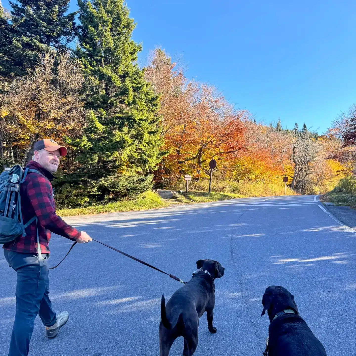
9. At 1.62 miles, cross a paved driveway and start heading toward the Veterans Memorial Tower.
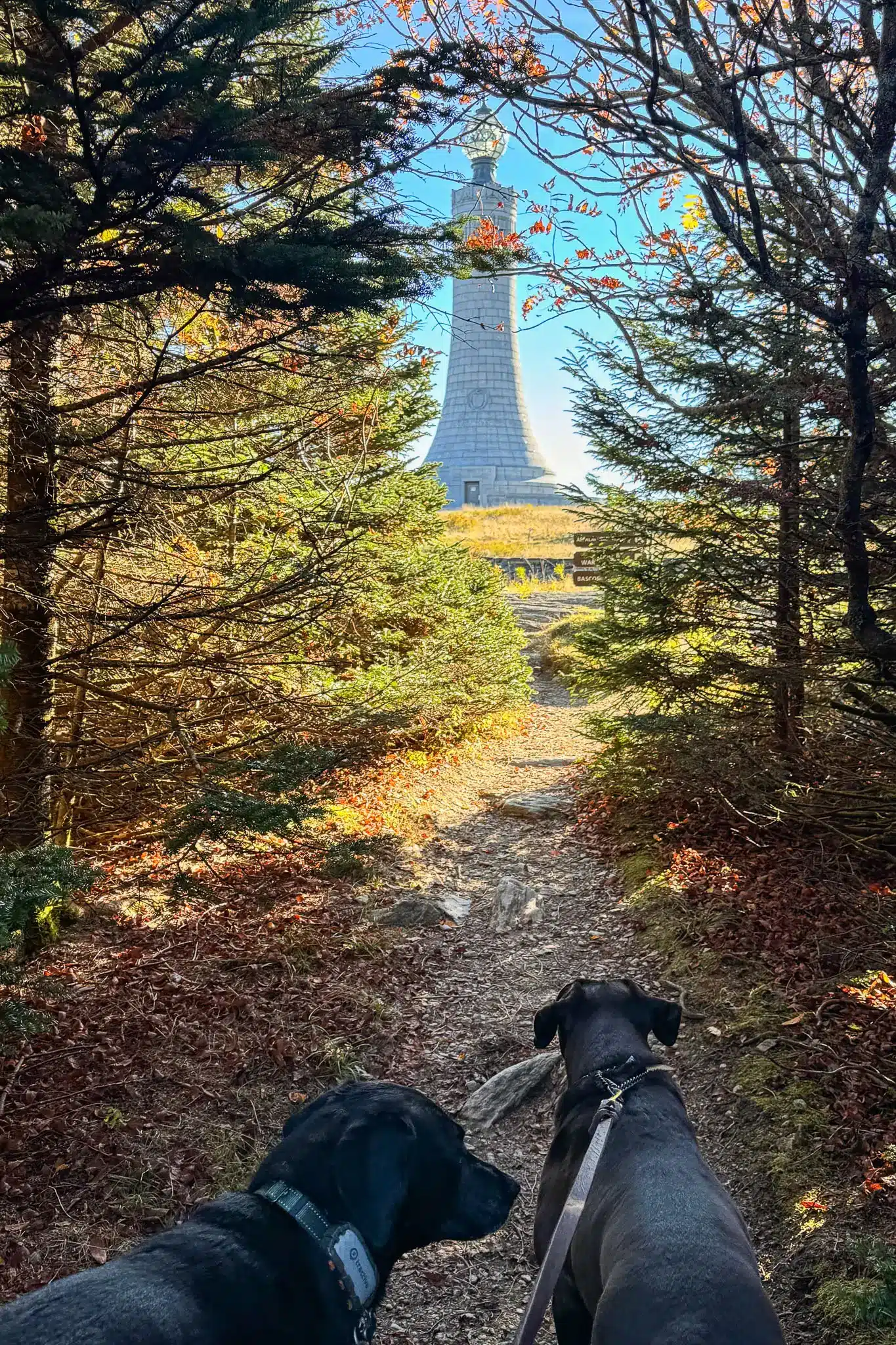
10. At 1.9 miles you will reach the top where you will see the Veterans Memorial War Tower, Bascom Lodge, and the wide open views on Greylock’s summit where you can wander around.
After taking in the views, exit back down the way you came in, walking back into the woods.
- At 2.1 miles, you will see an Overlook Trail sign pointing to the right. Turn right here to begin your descent on the other end of the loop along the Overlook Trail.
- At 2.5 miles, walk across Notch Rd and enter back into the woods, following the Overlook Trail sign.
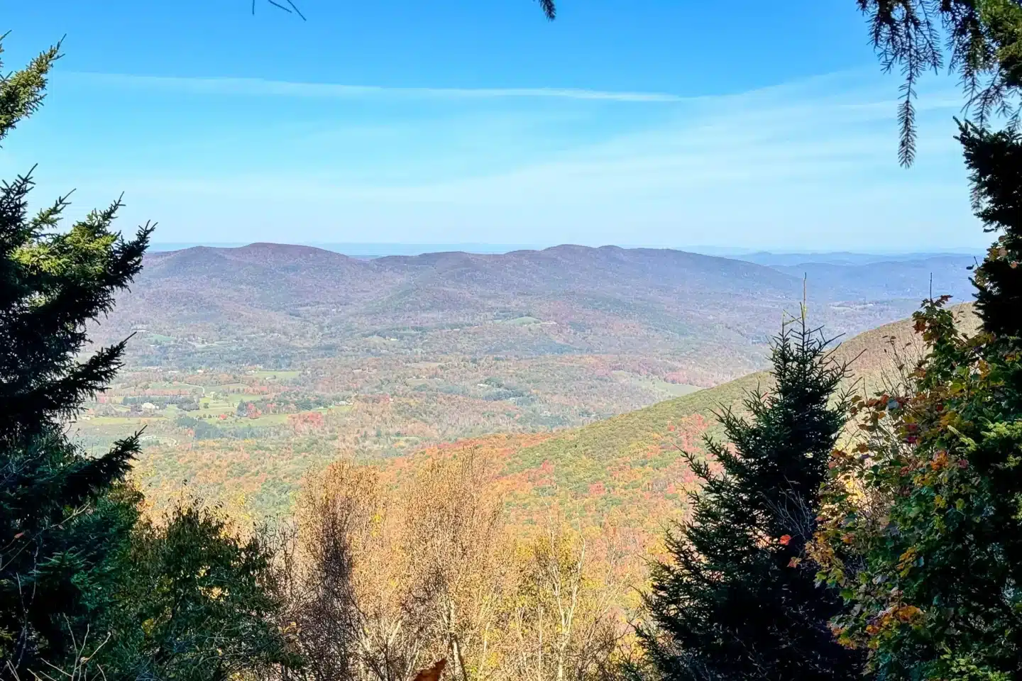
- At 3.2 miles, you’ll see a sign pointing to the right where you can catch an optional vista that’s less than 100 feet off the main trail.
- At 3.6 miles, the loop portion ends and you’ll reach the junction with the Hopper Trail that you took on the way in. Turn right onto the Hopper Trail and walk the 1.1 miles back out to your car. Follow Sperry Rd signs along the way to lead you where you came in.
That’s it, friends!
I hope you enjoyed this detailed guide about the most moderate trail up Mount Greylock.
✅ Save this post for future planning – comment below if you hike his trail, and tell me what you think! :))
Happy trails!