Hiking St Johns Ledges on the Appalachian Trail; A Guide

Ahhh, the Appalachian Trail in Connecticut, a classic hiking experience that leaves you wanting nothing! 😍 Of the AT’s 2,190 miles, about 50 of those miles run through the Northwest corner of Connecticut.
I’ve hiked all 50 miles of the Appalachian Trail in Connecticut (I broke it down into 7 different day hikes which you can find here!) but this section climbing up St Johns Ledges in Kent and the view at the top (along with the view from its neighbor, Caleb’s Peak) is definitely one of my favorites and a go-to when I want a satisfying day hike.
In this article I offer you 3 different routes/maps to hike the ledges and see numerous views at the top. I made 2 of them of AllTrails and the other is the standard way that AllTrails brings you. Each route and map is linked in the title of the trail below. They vary in length so whether you have just a couple hours or a full day for a hike, there’s an option for you below! ⬇️
🪨 What are the ledges?
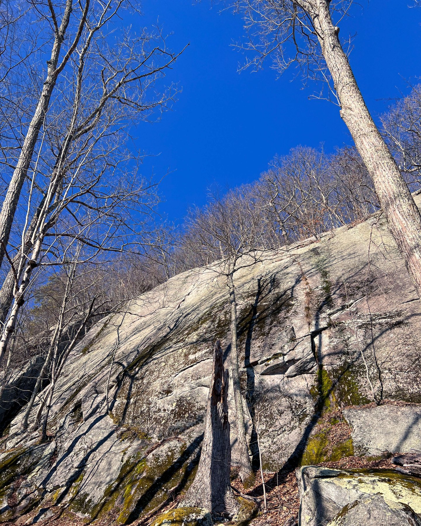
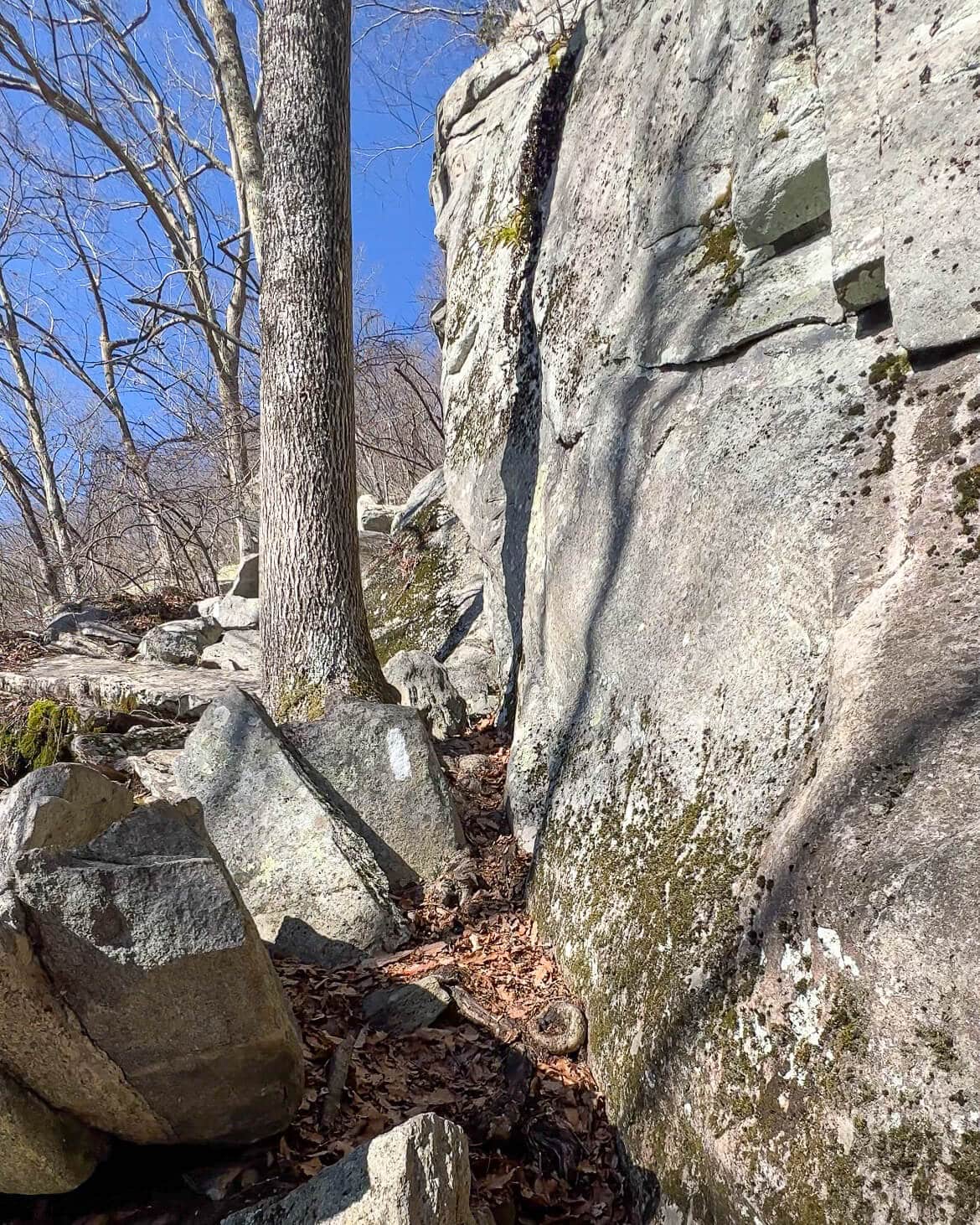
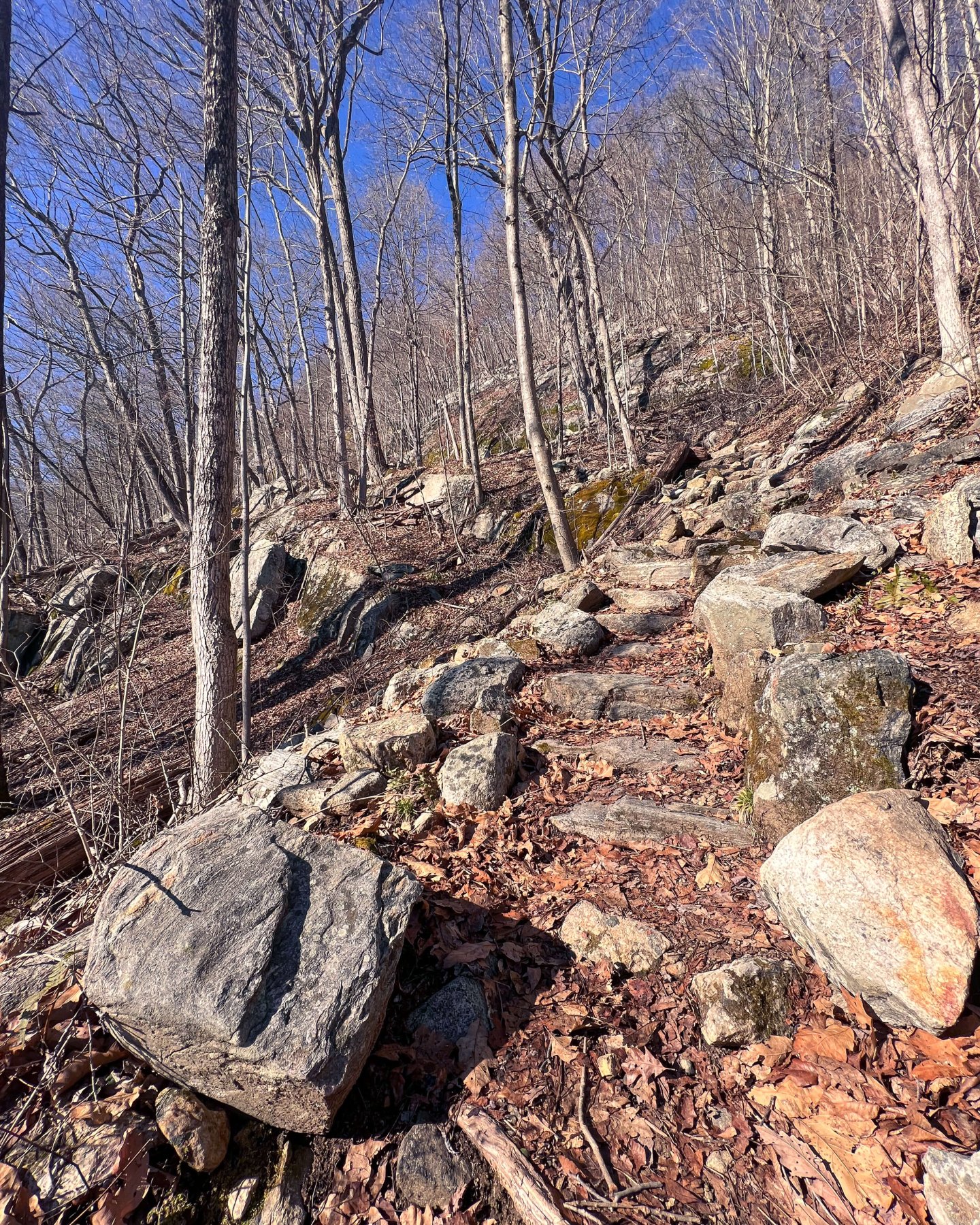
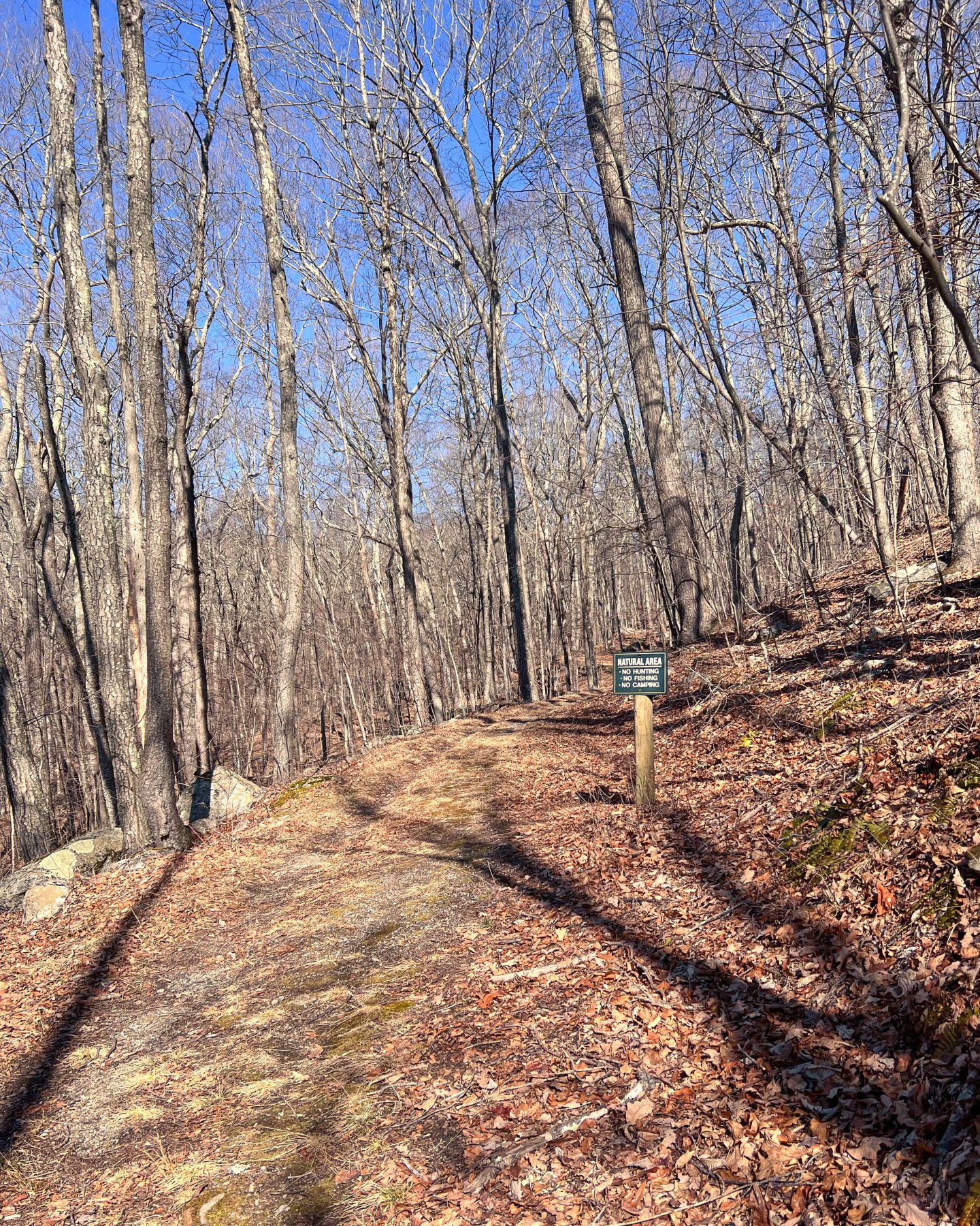
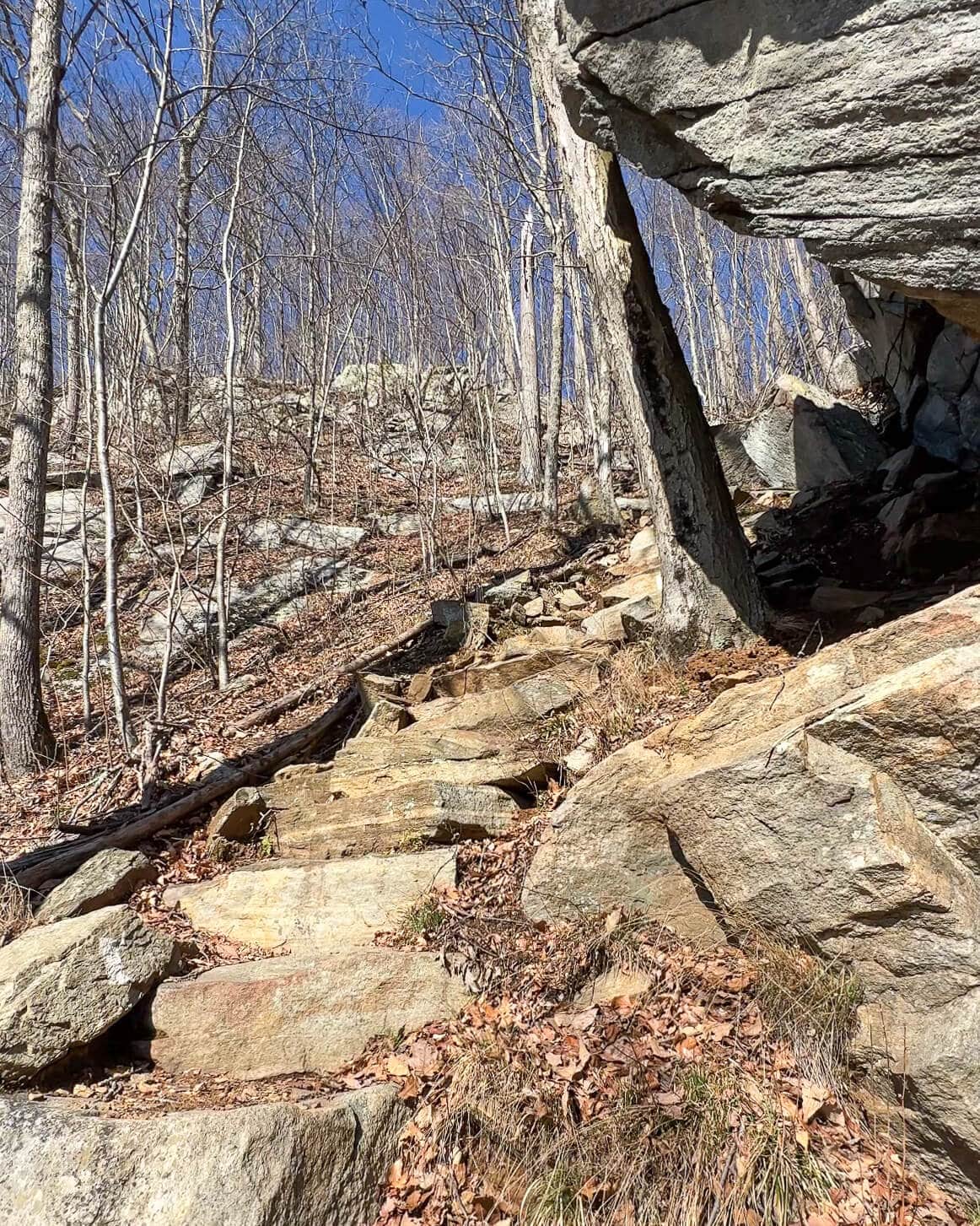
St Johns Ledges is a section of vertical rock slabs and the climb through only lasts for about a quarter of a mile. The terrain ranges from pretty simple with stone steps leading you up (thank you AT trail workers and volunteers!) to moderately difficult with big step ups and having to use your hands to help hoist you up or for balance a few times. This is also a popular spot for rock climbing though I’ve never tried it.
🥾Is this a beginner’s hike?
I wouldn’t bring a very beginner to hike here but I will say that just when you find a tricky spot that gets your heart pumping you’re treated to a few stairs where you can stop and catch your breath and give your brain a break from thinking – how am I going to get up this?? All in all, it’s a fun, challenging, steep yet short section that leads you to beautiful views.
☕️What else is there to do in Kent?! (The cute downtown center!)


One of my favorite parts of this hike starts on the drive up and into Kent. Kent is a quaint New England town that is home to (at least) two boarding schools and a small downtown center with numerous restaurants, shops, and cafes.
In my head, while I always have grand plans of walking around the downtown after a hike and popping into the House of Books bookstore, I usually get too tired or hungry from the hike. Yet I almost always manage to pull into 45 on Main Coffee & Chocolate Cafe. and get a hot chocolate, latte, or one of their dark chocolate s’mores! Yum. And after one of these hikes, you’ve earned it! 🙂
3 Ways to Hike St Johns Ledges (3 routes and maps 🗺)
🚗 Where to park for all 3 of these hikes:
For all 3 of these trails you will take Skiff Mountain Road in Kent to River Road. River Road is an unpaved road that runs along the western side of the Housatonic River. This road can be in rough shape after winter with potholes, etc, but not to worry – my Prius handled it in February so I am sure you’ll be fine!
You’ll drive down River Rd for about 1.6 miles until you see a trail sign on the left (on a tree) labeled “AT South”. There are pull off spots parallel to the road where you can park and mid February there were obviously lots of spots along the road leading up to this point. But in the nicer weather you may have to pick a spot before you see the AT trail sign and then just walk to it! Extra steps for your treats after. 😍🍫
1. St. John’s Ledges to Caleb’s Peak to Pond Mountain (most varied and scenic!)
- Miles: 6.99 miles out and back
- Time: 6 hours
- Difficulty: Moderate
- Elevation: 1,896 ft elevation gain
- Parking: lot with about 10-15 spaces along East River Rd
- Date visited: 2/18/23
- Special features: 3 lookouts (St Johns Ledge, Calebs Peak, and Pond Mountain) and Fuller Pond
(Note: option to cut this hike in half if you meet a friend and make it a TWO CAR HIKE! The last time I did this hike my friend Sharon and I did it as a 2 car hike. We met at Fuller Pond and left Sharon’s car there, she hopped in my car (with her car keys!) and we parked at the starting point on River Rd. Then we ended at her car and she drove me back to my car at River Rd. I love 2 car hikes since you don’t have to double back! But of course, sometimes that can’t be avoided when you only have one car or are hiking alone.)
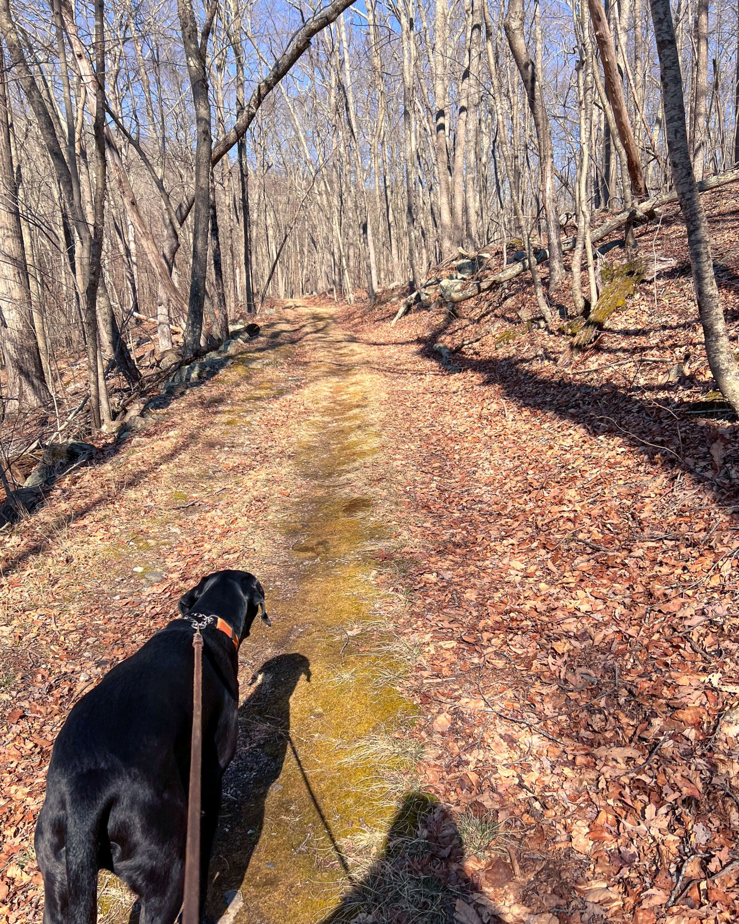
Start the short but steep climb up the ledges🥾🐾
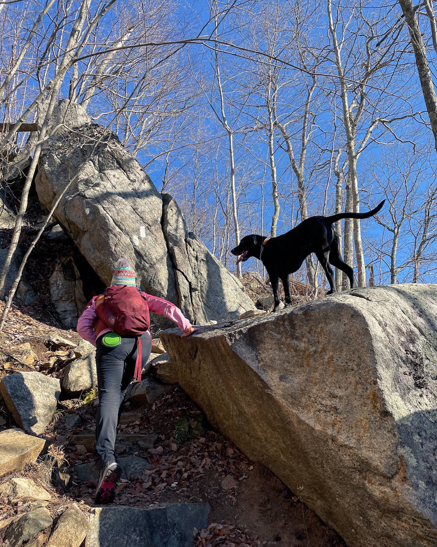
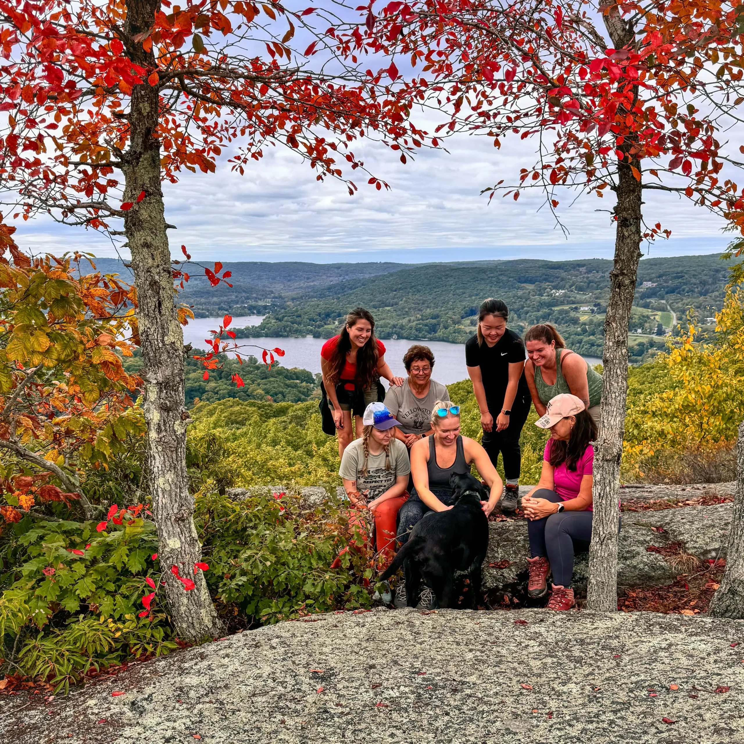
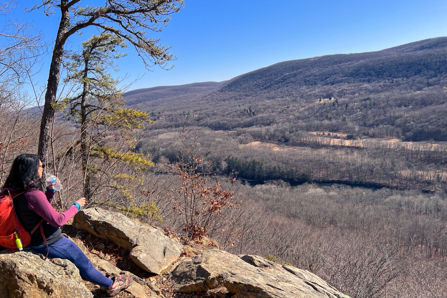
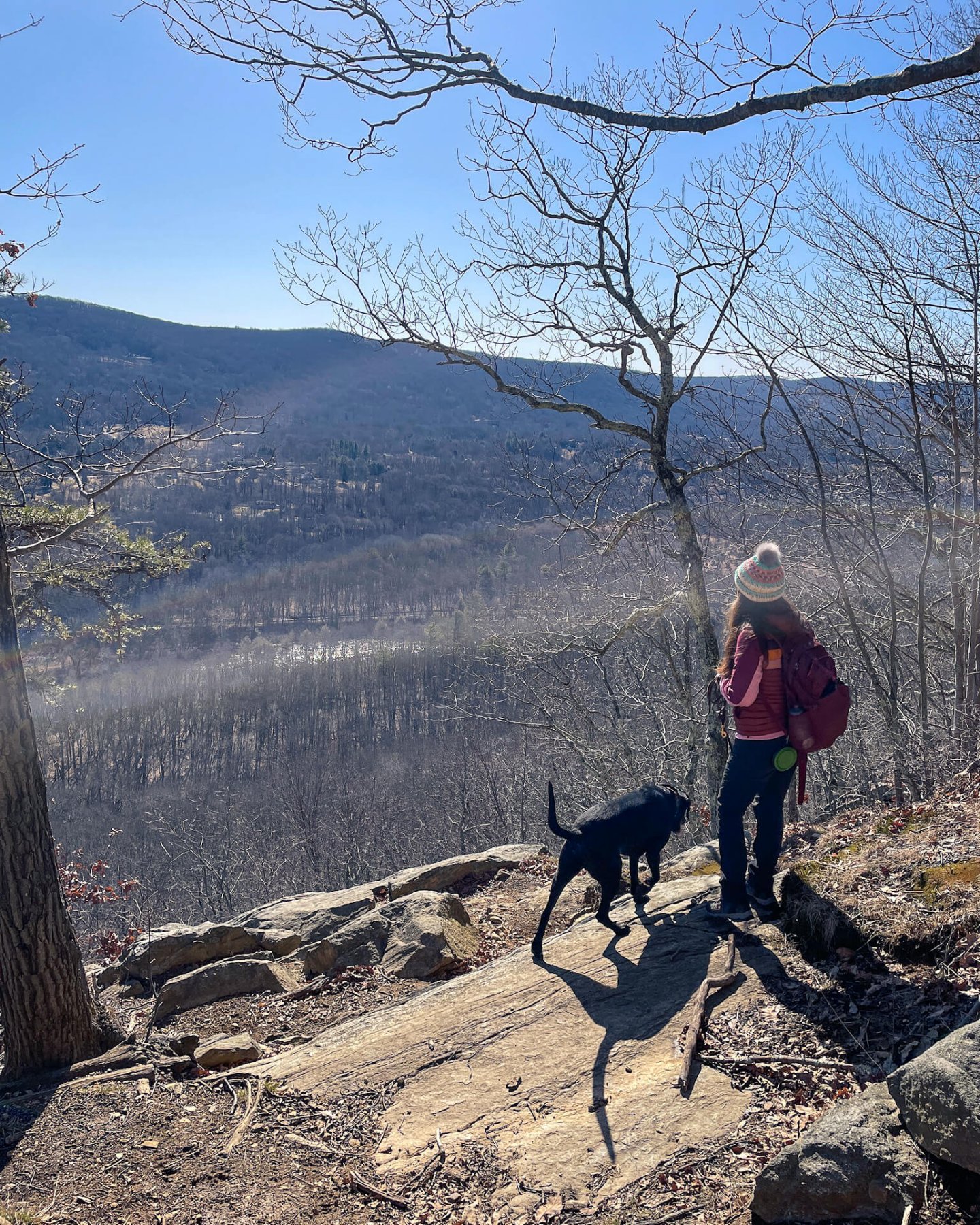
📍This route takes you up through the ledges to St Johns Ledge lookout (see pic below ⬇️). You’ll walk up and through the ledges for just about .4 miles until you come to the St Johns Ledges lookout.
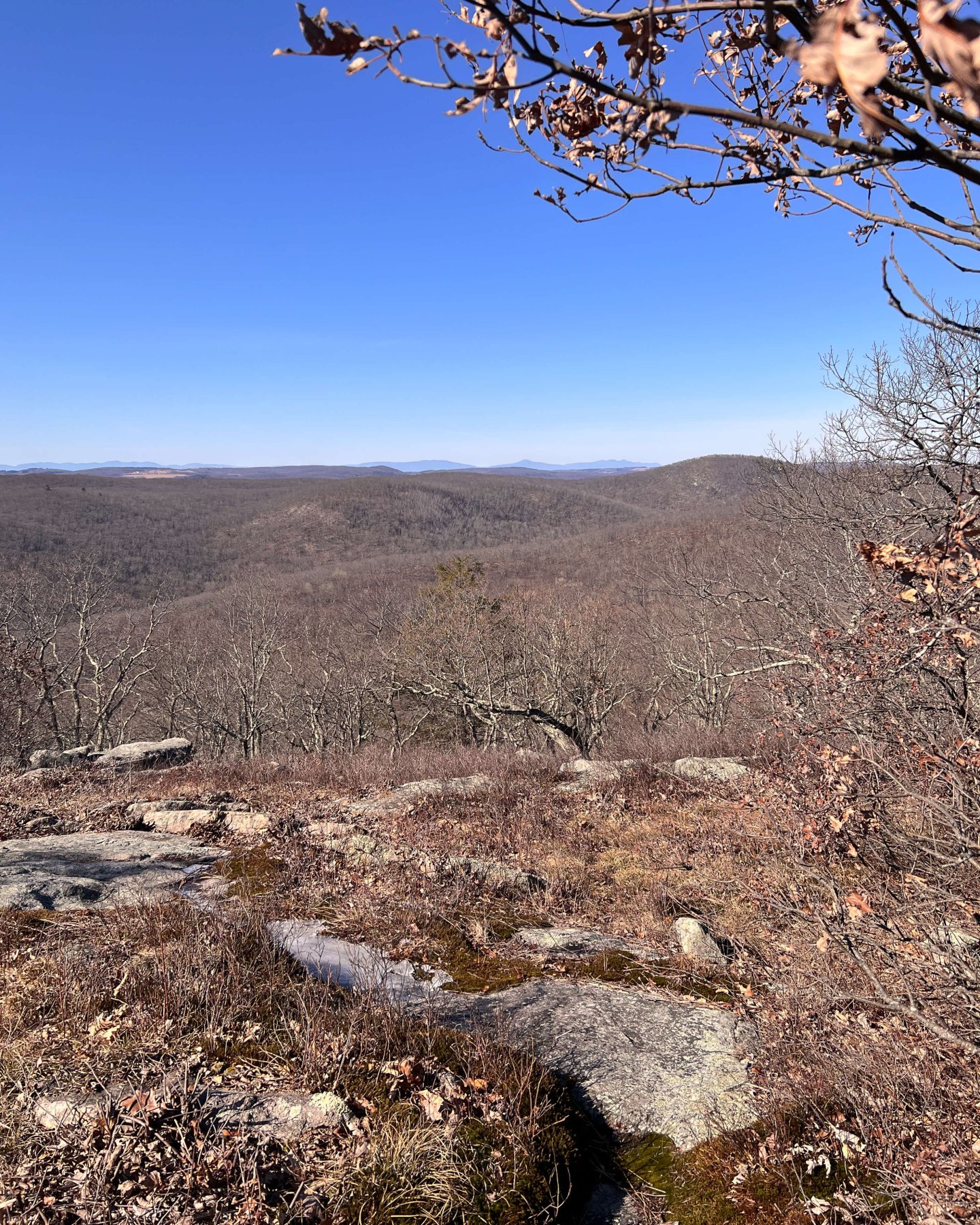
St Johns Ledges lookout facing east! Great for sunrise.
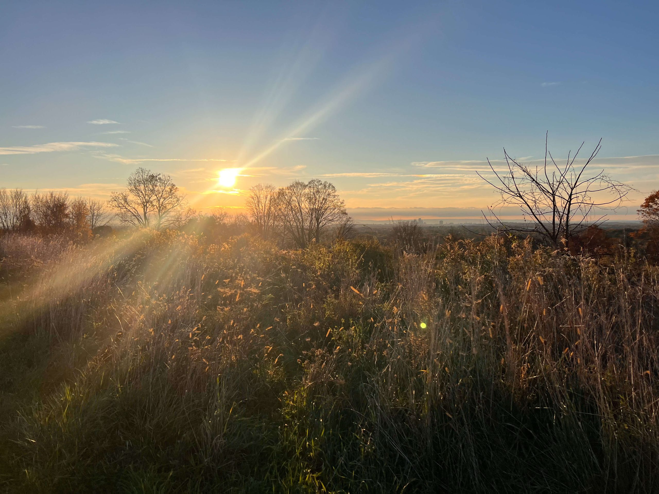
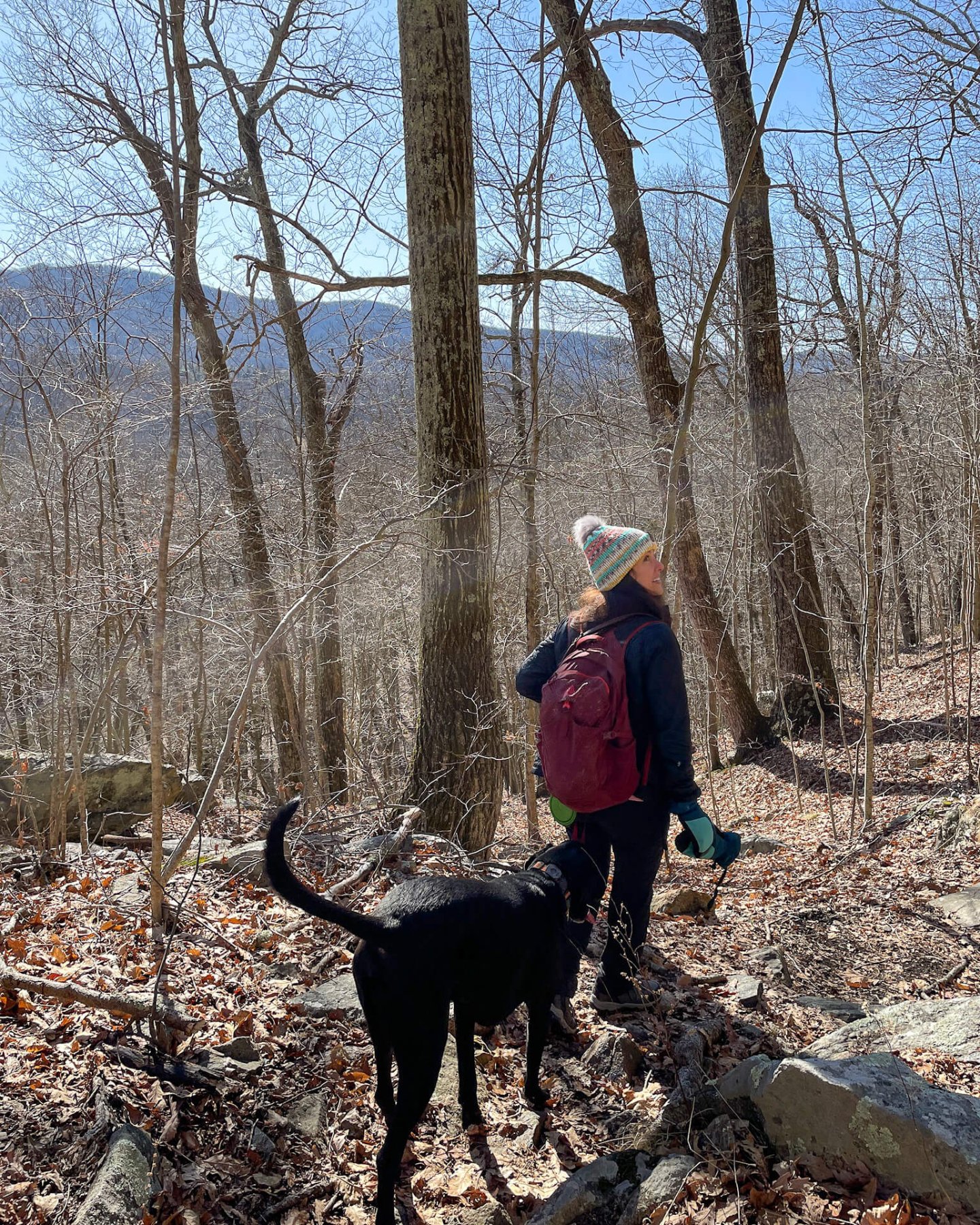
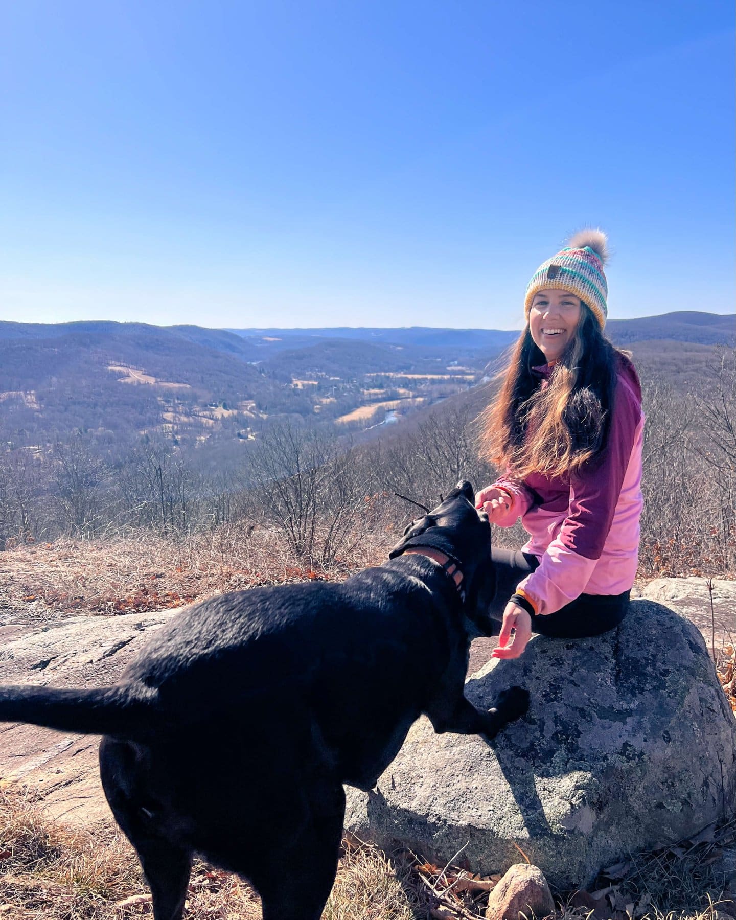
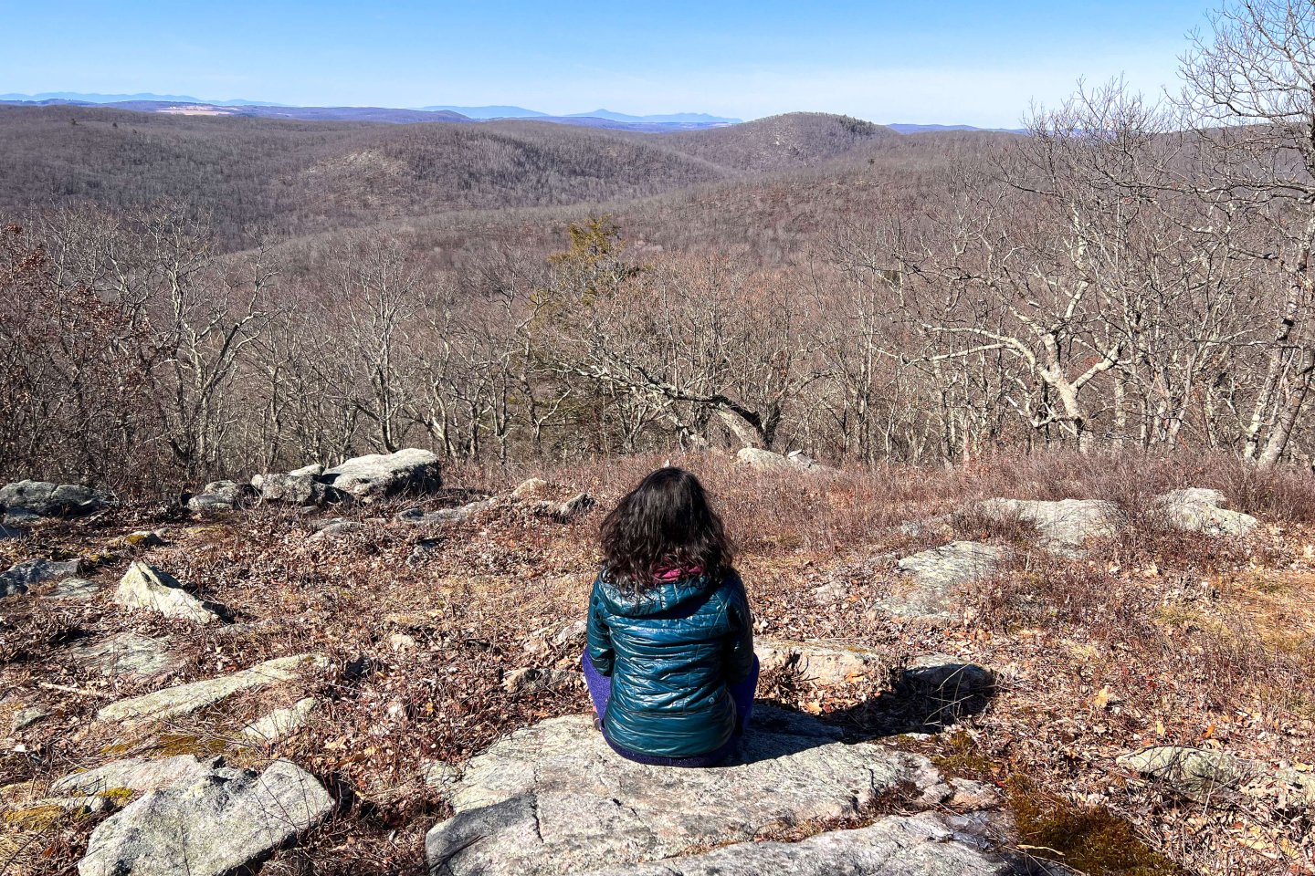
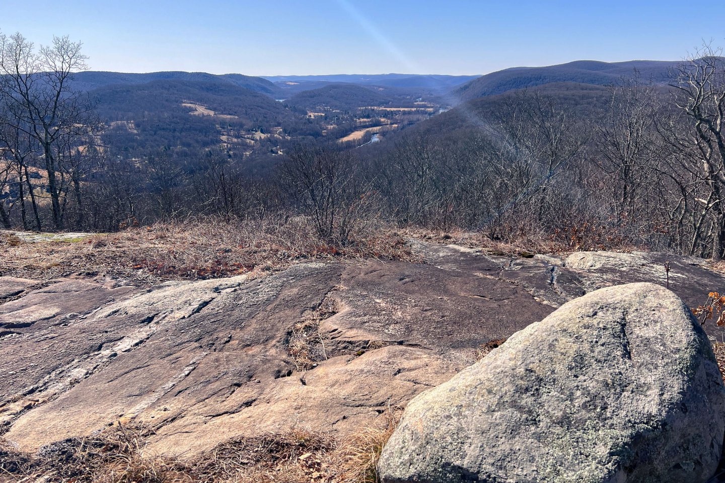
After this lookout continue on for about a half of a mile you’ll then arrive at the 1,160 ft Caleb’s Peak lookout. From Caleb’s Peak you can see the little town below along with a section of the Housatonic River.
The view at Caleb’s Peak 🪨
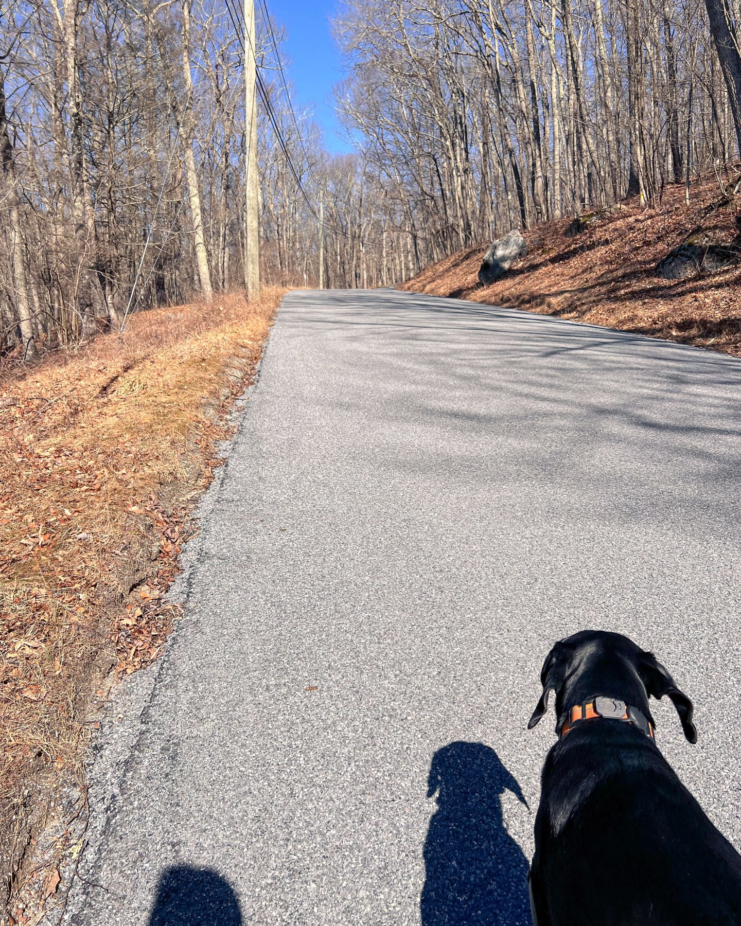
After taking in the view at Caleb’s Peak, continue on the AT (follow white blazes) for ~.7 miles until you come to Skiff Mountain Road (keep those dogs and kids close!). You will turn right to walk on the road very briefly before you see a blue blaze on your left leading you back into the woods. Aside from the views, this is one of my favorite parts of the trail as you walk along a tree tunneled path leading you to Fuller Pond…
The walk to Fuller pond and Pond Mountain
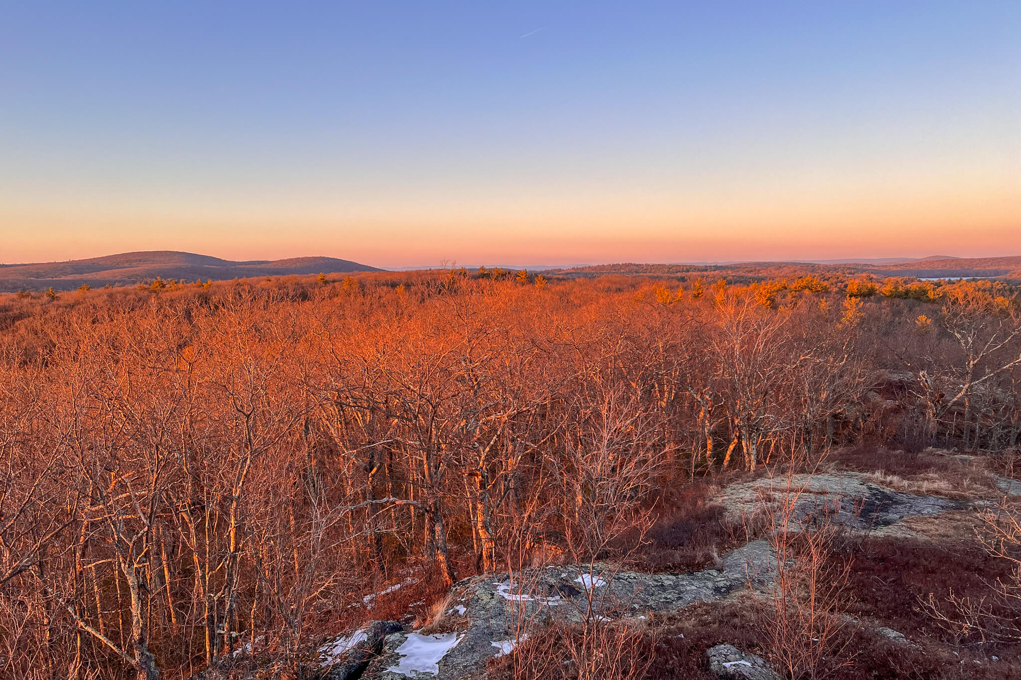
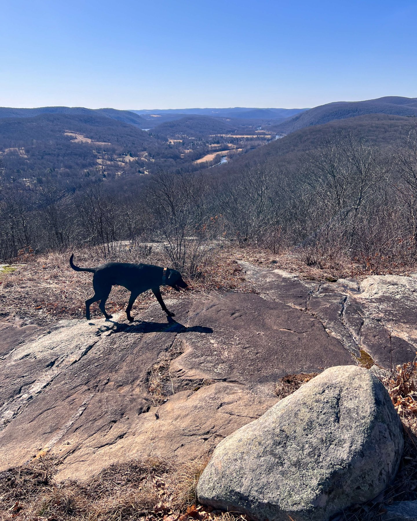
You have two options once you get to the pond area. You can go left and up to the view at Pond Mountain (see pictures of the below) or you can walk the pretty flat 1.5 mile loop around pond.
View from Pond Mountain
Fuller Pond view 🐶💦 and one more Pond Mountain view ⬇️

Unless you’ve made this a 2 car hike with Pond Mountain being your final destination, you will now have to head back up to Caleb’s Peak and down St Johns Ledges so be sure to leave some energy in the tank!
2. St. Johns Ledges to Glacier Rock (most challenging! Standard route from AllTrails)
- Miles: 8.6 miles out and back
- Time: ~7 hours
- Difficulty: Moderate-difficult
- Elevation: 2,680 ft elevation gain
- Parking: see note about parking above
- Date visited: 2/18/23
- Special features: 2 lookouts (St Johns Ledge & Calebs Peak) & hiking along ridge of AT with views along the way
This route has every view above route has (see pics above) except for Pond Mountain. This is the ONLY route you will find on AllTrails when you search for St Johns Ledges. You’ll hike up the ledges to St Johns Ledges lookout, then Caleb’s Peak, walk along the ridge of the Appalachian Trail with other lookouts through the trees, turn around and come back! 🌲🌲
3. St. John’s Ledges to Caleb’s Peak and back (short, scenic, and sweet!)
- Miles: 2.10 miles out and back
- Time: 2 hours
- Difficulty: Moderate
- Elevation: 853 ft elevation gain
- Parking: see note about parking above
- Special features: 2 lookouts (St Johns Ledge & Calebs Peak)
Take this short trail to enjoy the view at both St Johns Ledges AND Caleb’s Peak! In this short route you will climb up through the ledges to St Johns overlook. Enjoy the view there before you continue on ~.5 mile to the lookout at Caleb’s Peak. I think it is definitely worth it to continue to Caleb’s Peak and it’s just a relatively flat walk in the woods to it so you have nothing to lose! 🙂
After this one you should for sure have some energy and time to spend in the downtown of Kent where you can peruse the bookstore, unique shops, Kent Coffee & Chocolate and maybe even sit outside at one of the numerous restaurants along S Main St (Route 7).
After this short hike be sure to check out the downtown of Kent, CT!


Which route will you choose?!
I hope you enjoyed this guide to hiking at St Johns Ledges on the AT! Remember there are ~50 miles of the AT in CT to explore and hike and if you’re interested in any of these hikes I have each section laid out for you in an article here.
Take care and see you out there!!💗🐾🥾
Looking for more hikes on the Appalachian Trail in Connecticut?! Check out this amazing view and hike here!