Section Hike the Appalachian Trail in Connecticut; 7 Hikes
Are you looking for hikes to do on the Appalachian Trail in Connecticut? In this post you’ll find the whole 50 miles of the AT broken up into 7 different point-to-point day hikes so you can hike it in 7 different sections.
Here you’ll find custom maps made on AllTrails, GPS coordinates and links to parking, and trail details to follow along the way!

The Appalachian Trail offers a classic New England hiking experience where you’ll find several mountains in Connecticut with the best views in the state. 🌲
Connecticut’s AT runs through the towns of Kent, Salisbury, Falls Village, Canaan, and other towns in the northwest corner of CT.
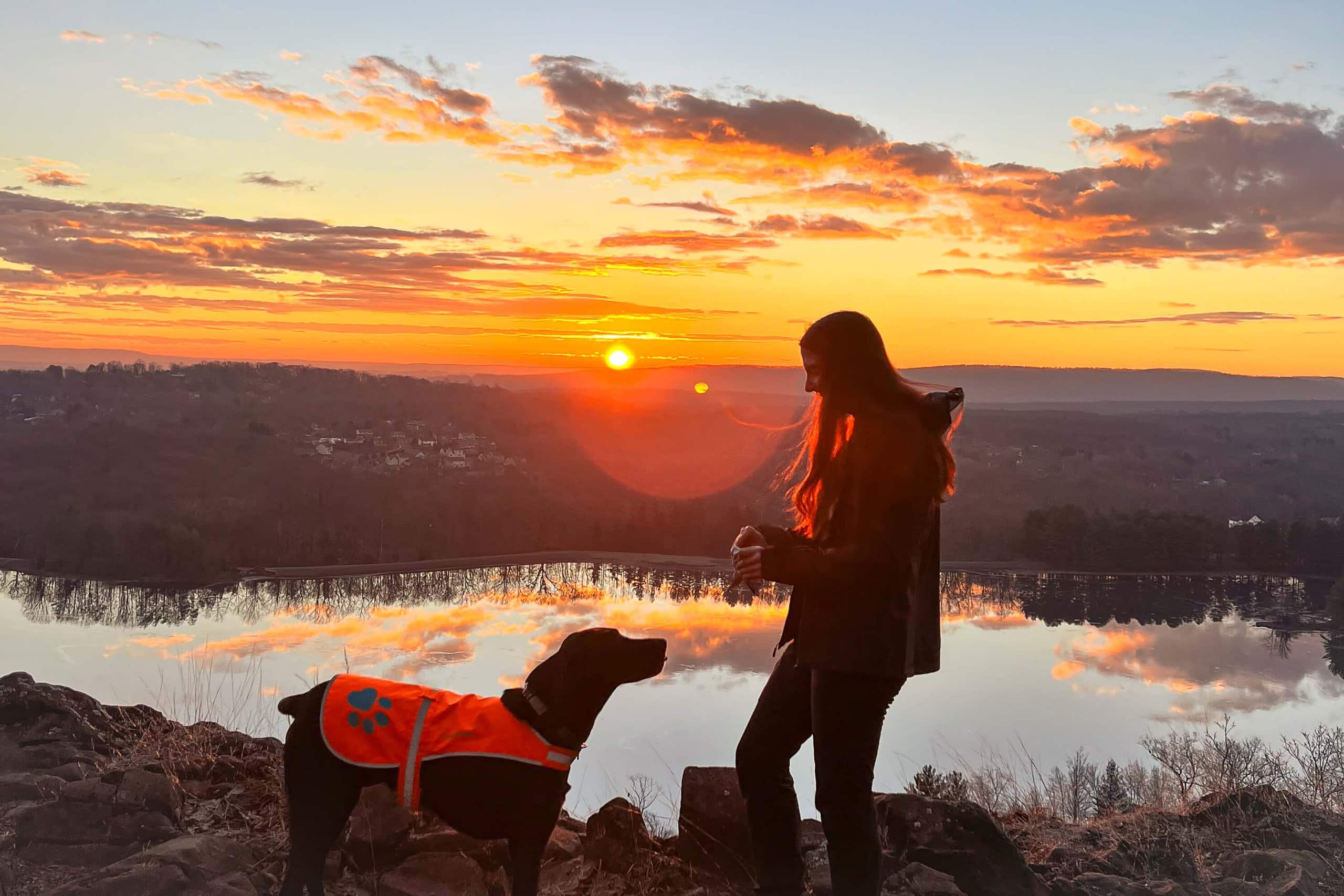
I live in CT and this has always been my favorite part of the state to hike in. If you’ve never been out this way – you’re in luck!
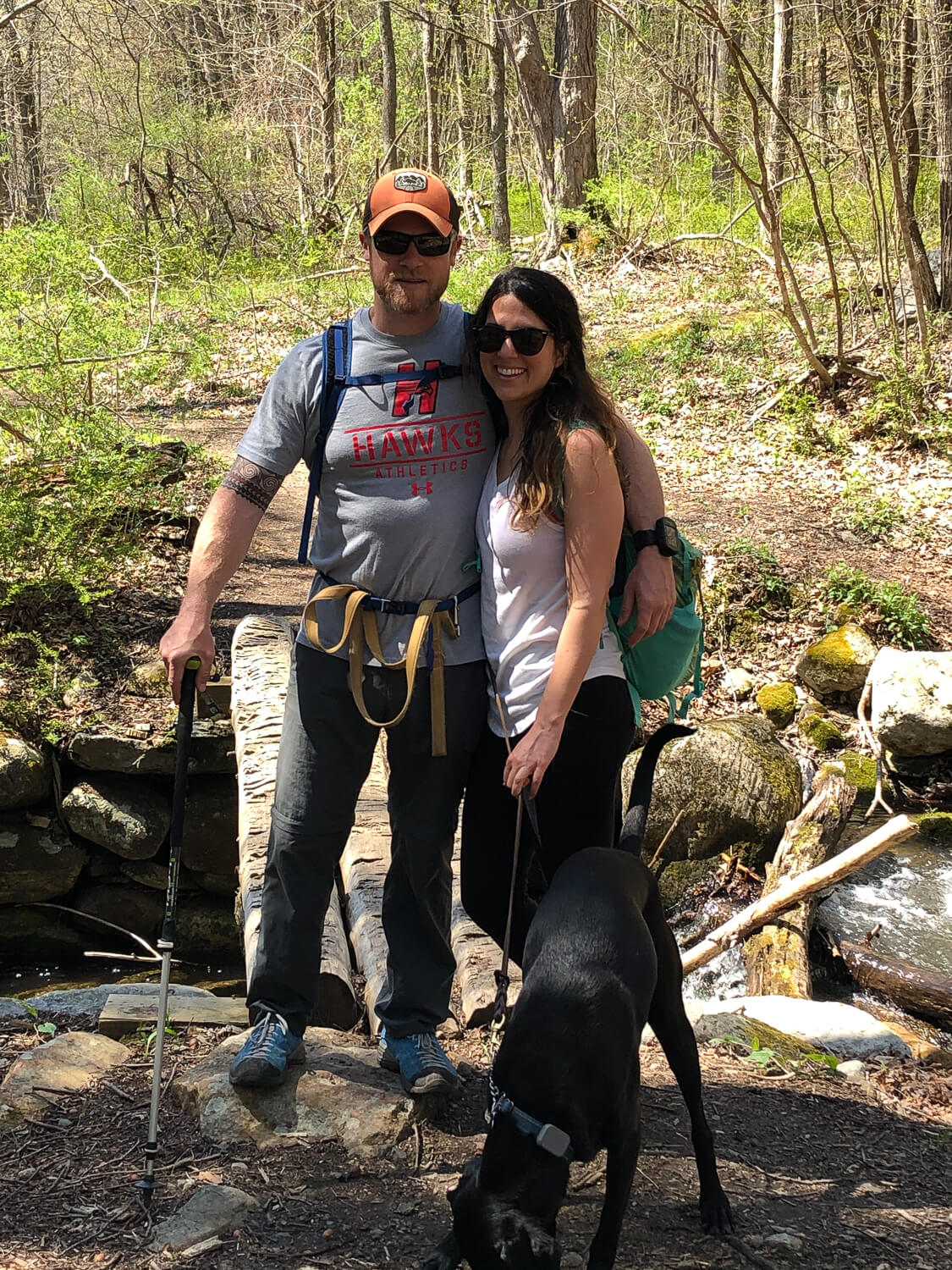
In 2020, Jared, the dogs, and I hiked all 50 miles of Connecticut’s Appalachian Trail by breaking it into 7 different sections. We hikes on the weekends spread out over a few months.
Of course, the 50 miles can be broken up in several different ways; some people might even hike it in 2 days!
I once ran into a group that was trail running the entire thing in one day! I don’t mind a challenge but I also like my hikes enjoyable and keep me coming back for more.
So moderately sized hikes for me, please! The routes you find here range from 5 to 8 miles.

📝Important Note: These are all 2 car, point-to-point hikes ➡️, meaning you leave one car at the start and one at the ending point so you don’t have to hike all the way back. 🚗🚙 And if you are hiking solo then you will need to double your miles and hike back! ↔️
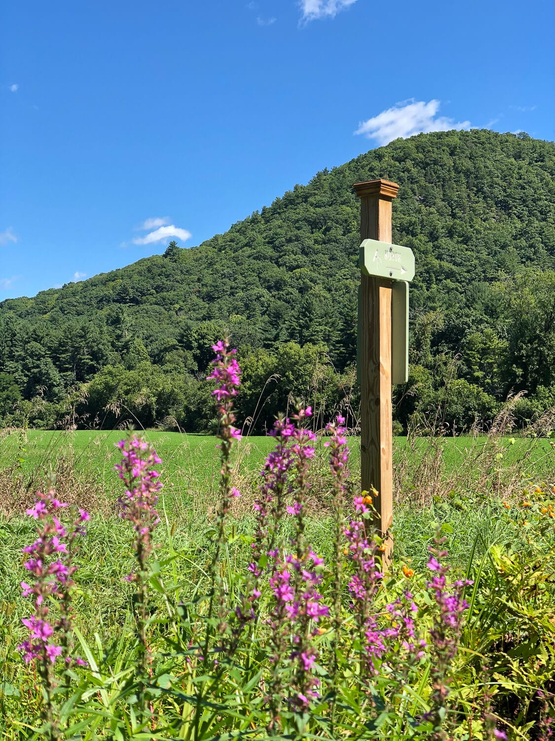
Connecticut’s Appalachian Trail; 7 Different Hikes 🥾
(In order from south to north 🗺️)
1. CT AT Leg 1: Hoyt Road to Bull’s Bridge, Sherman
- 🥾 Miles & Elevation Gain: 4.3 miles, 820 ft
- 🗺️ AllTrails Map
- 📝 Detailed Trail Guide for Hoyt Rd to Bull’s Bridge Hike
- 🚙 Parking starting point: Click here to navigate small pull off on western side of Hoyt Rd (room for a few cars)
- 🚗 Parking end point: Click here to navigate to 41.67982, -73.51278
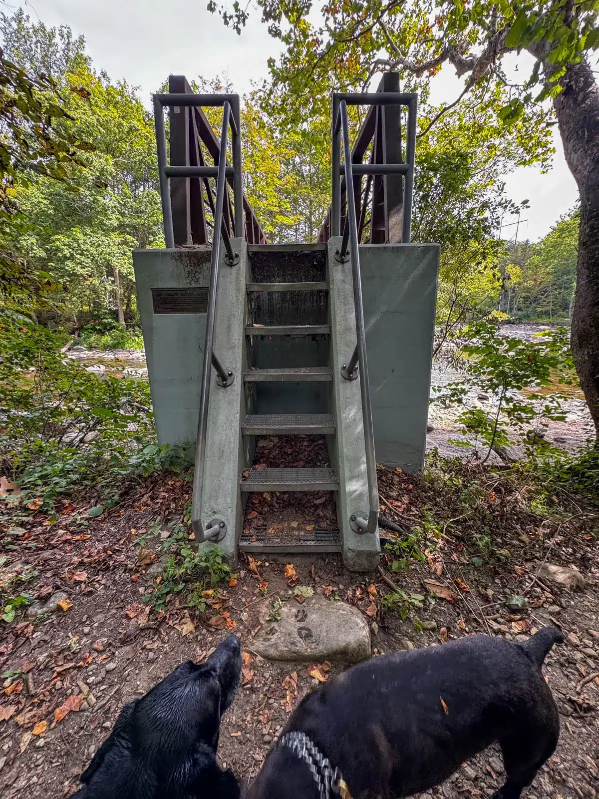
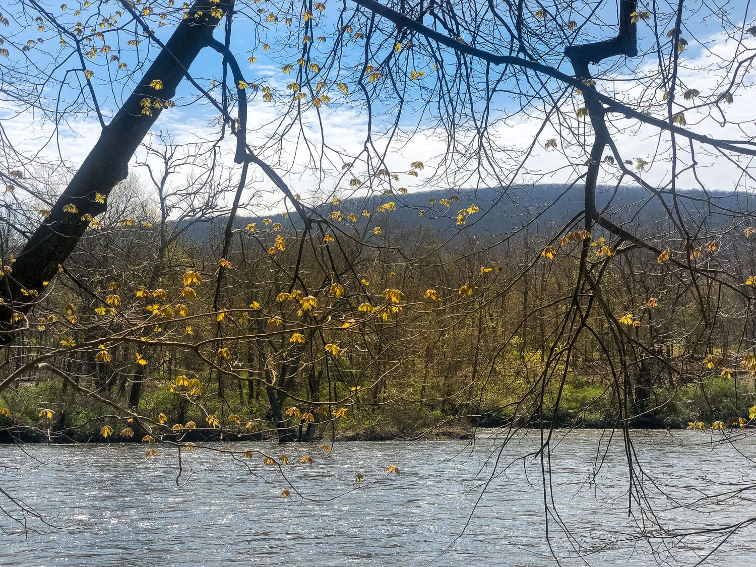
- 🌟 Highlights: Small view at Ten Mile Hill, trail runs along Housatonic River with scenic views of river, opportunities for dogs to swim 🌊
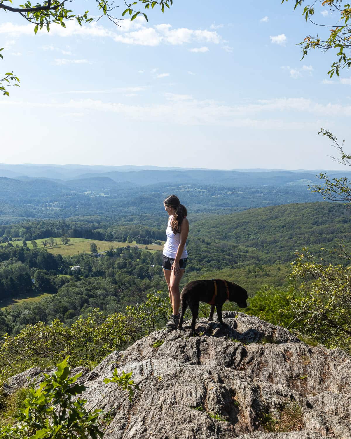
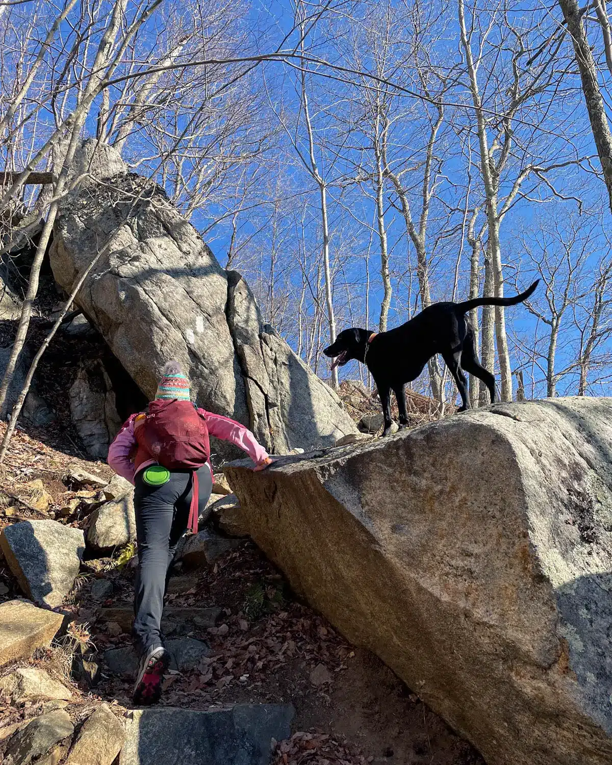
Hoyt Road to Bull’s Bridge is the first hike along the Appalachian Trail in Connecticut and I like that it’s just over 4 miles. It’s a great warm up hike to this whole AT journey! 🙂
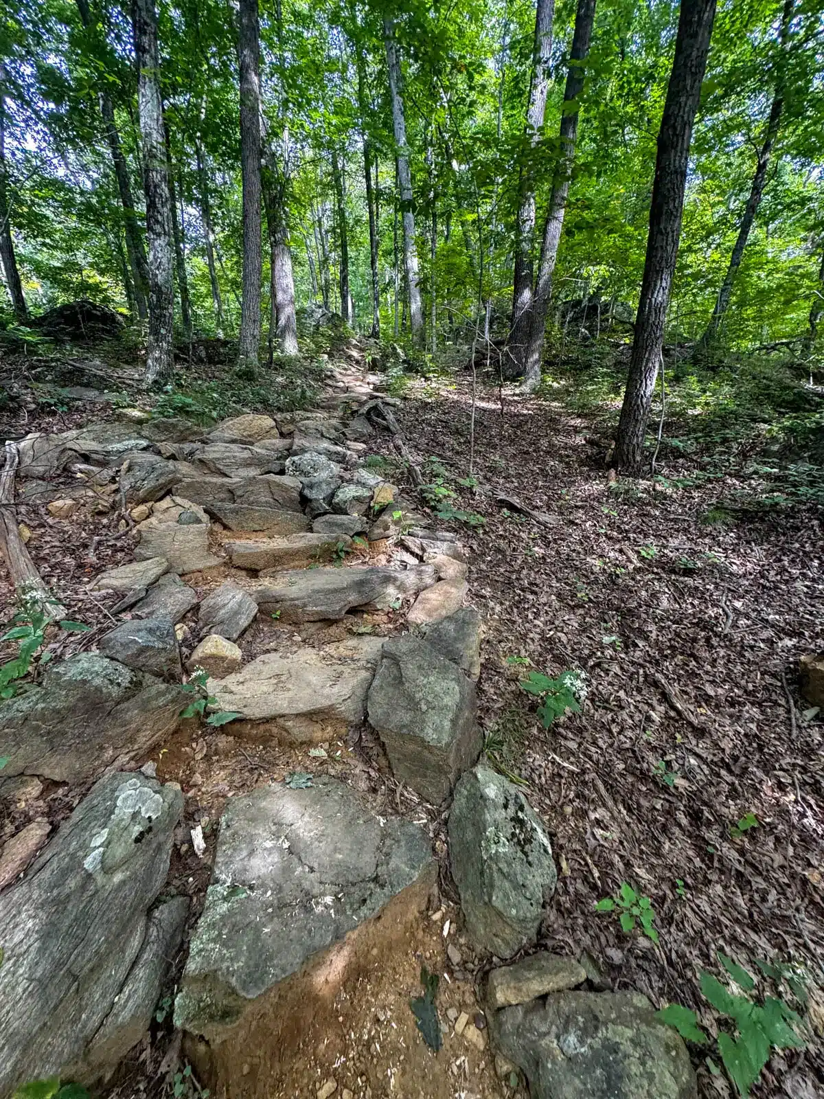
Along the way you are treated to nicely laid rocks for stairs and a little incline at the start before you come down to the Housatonic River. Look out for Tenmile hill shelter in a wide open field if you want a shady spot for lunch.
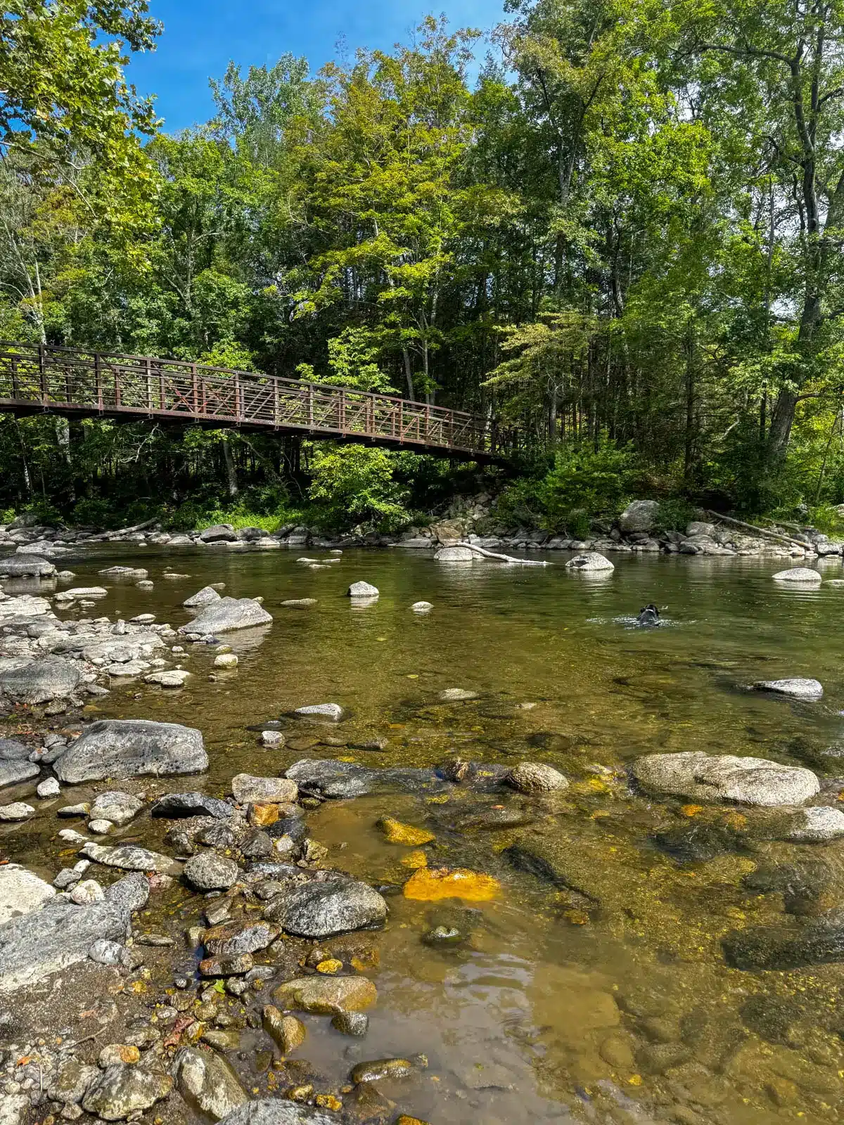
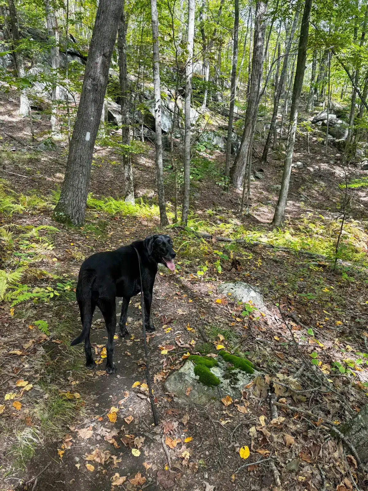
🐶One thing to note is you will have to cross a bridge over the Housatonic River. Don’t worry – the bridge is very safe and sturdy! But, for some reason our dogs have a hard time walking up the steep steps to the bridge. 🤔 We sometimes have to give them a lift which is difficult when dealing with a 70 pound dog! Bring treats and good luck. :))
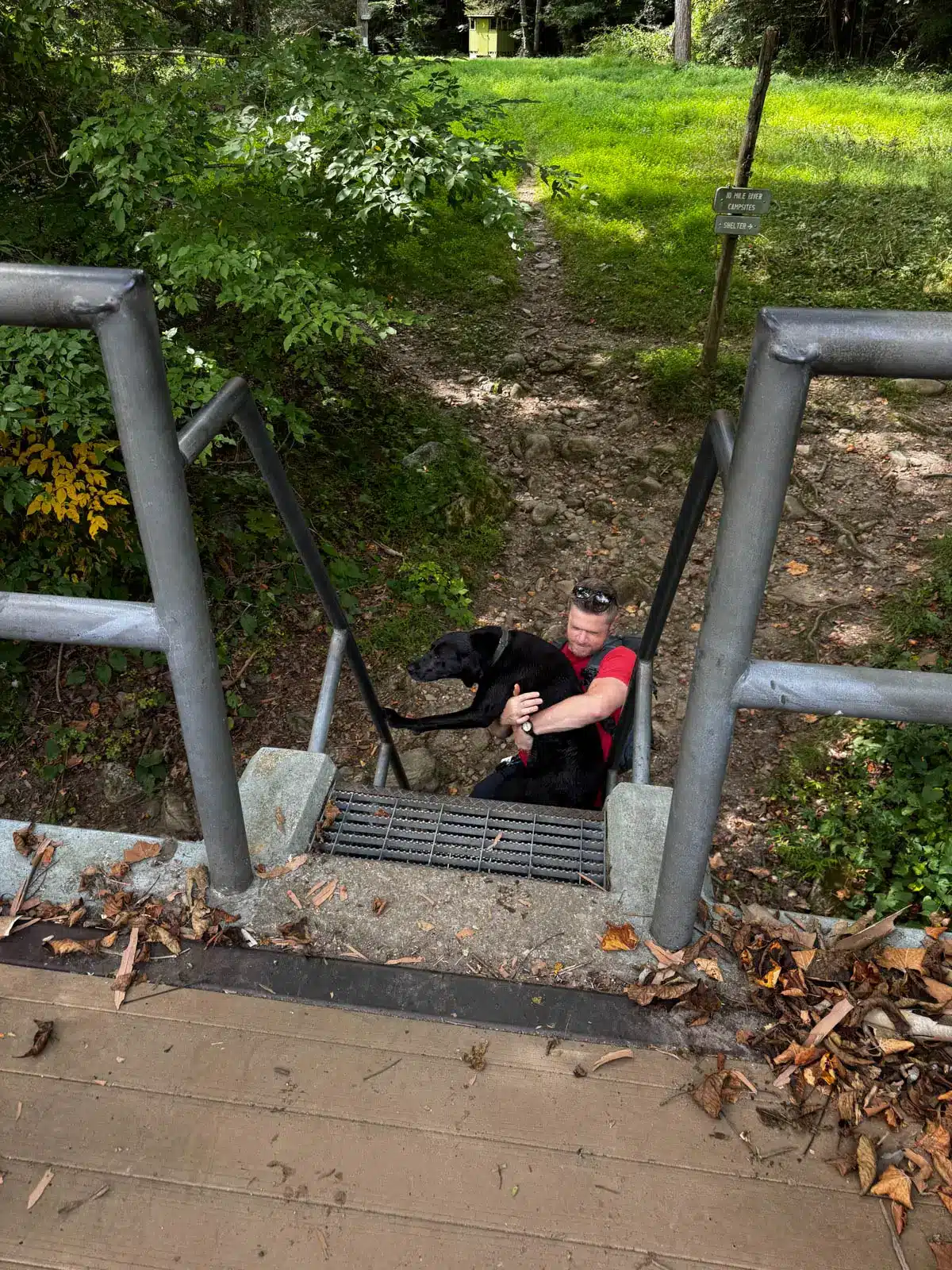
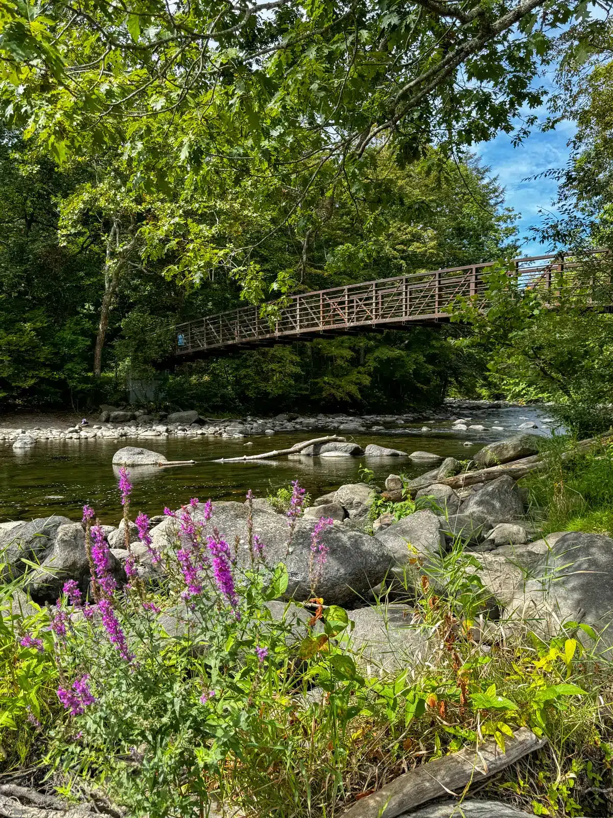
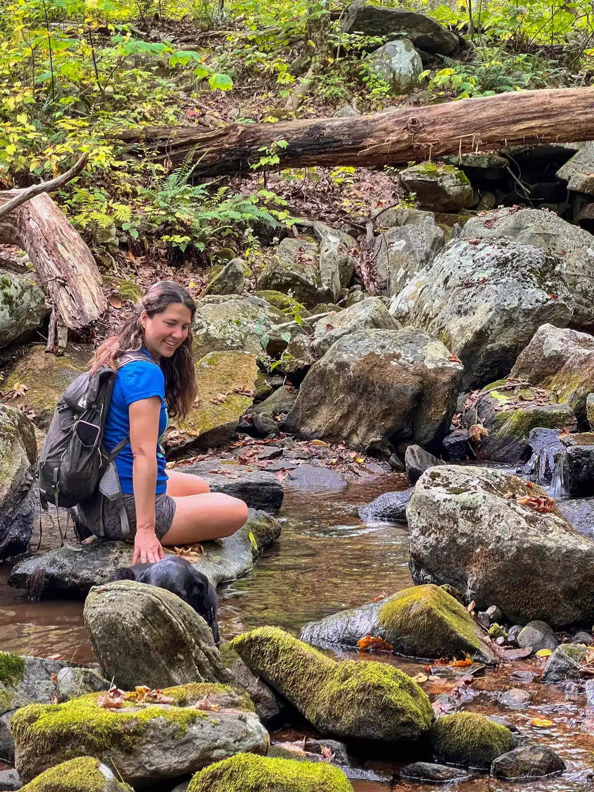
Once over the bridge you can stop for a quick break by the river and let the dogs splash around. You’ll then continue the final stretch of this hike with the rushing Housatonic River below you on your right.
There is no big peak with views here, the water is the main attraction! It is a great start and welcome to your journey along the AT in CT. 🥾 Enjoy!
2. CT AT Leg 2: Bull’s Bridge to Mount Algo and Macedonia Rd, South Kent
- 🥾 Miles & Elevation Gain: 7.3 miles, 1,900 ft
- 🗺️ AllTrails Map
- 🚙 Parking starting point: Click here to navigate to 41.67983, -73.51271 small pull off along Schaghtichoke Road
- 🚗 Parking end point: Click here to navigate to 41.73105, -73.49063 small pull off along Rt 341 Macedonia Rd in Kent by Kent School
- 🌟 Highlights: Nice view early on from Schaghtichoke Mountain followed by long walk in woods
This second leg takes you from Schaghtichoke Mountain up and over Mount Algo and down to Macedonia and requires more stamina than the first leg at almost doubles the miles so be prepared with extra snacks and water!
A big chunk of the incline on this hike is right in the beginning. So try not to eat too much on the ride over and save your snacks for the view after the initial climb.
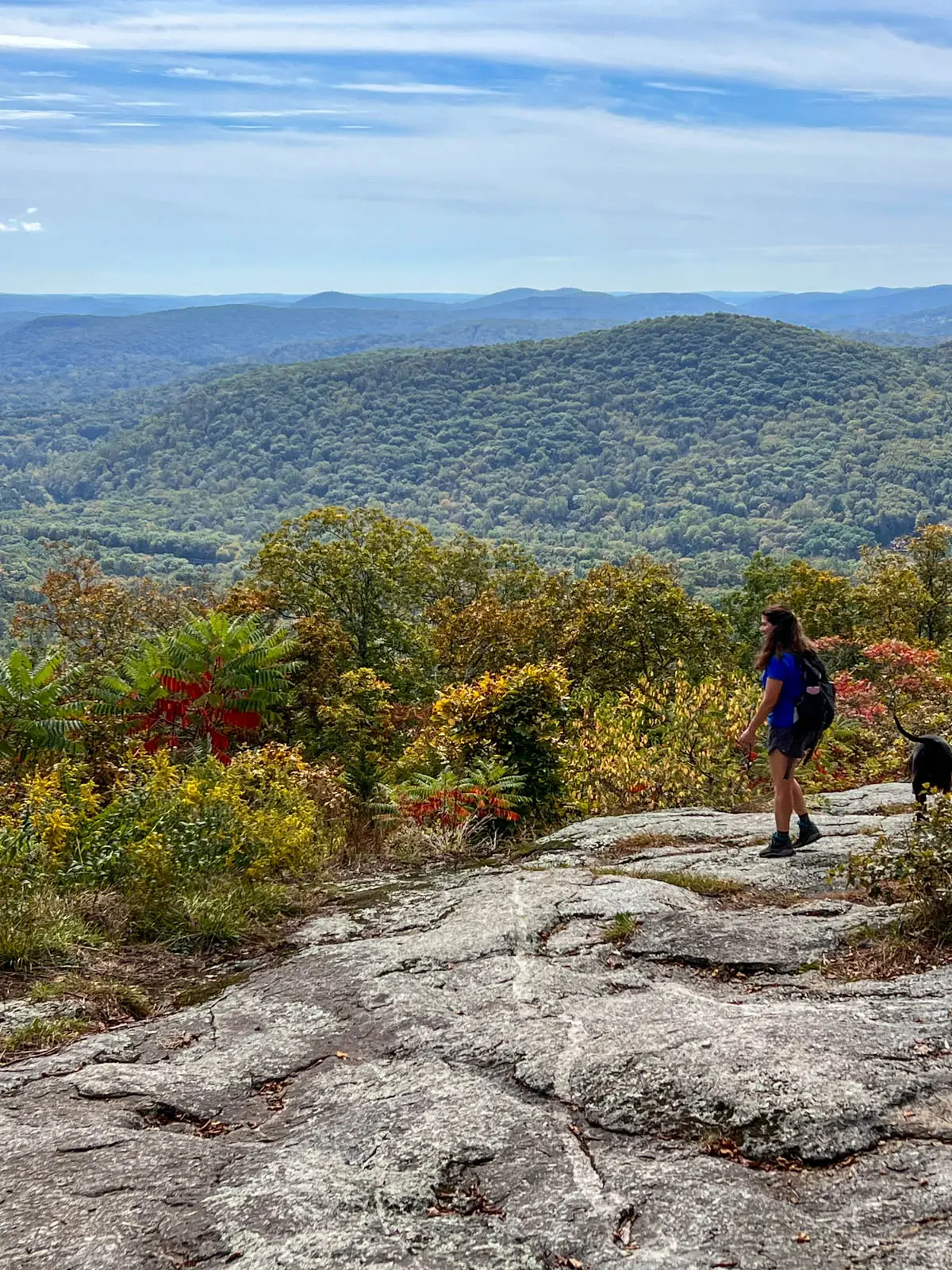
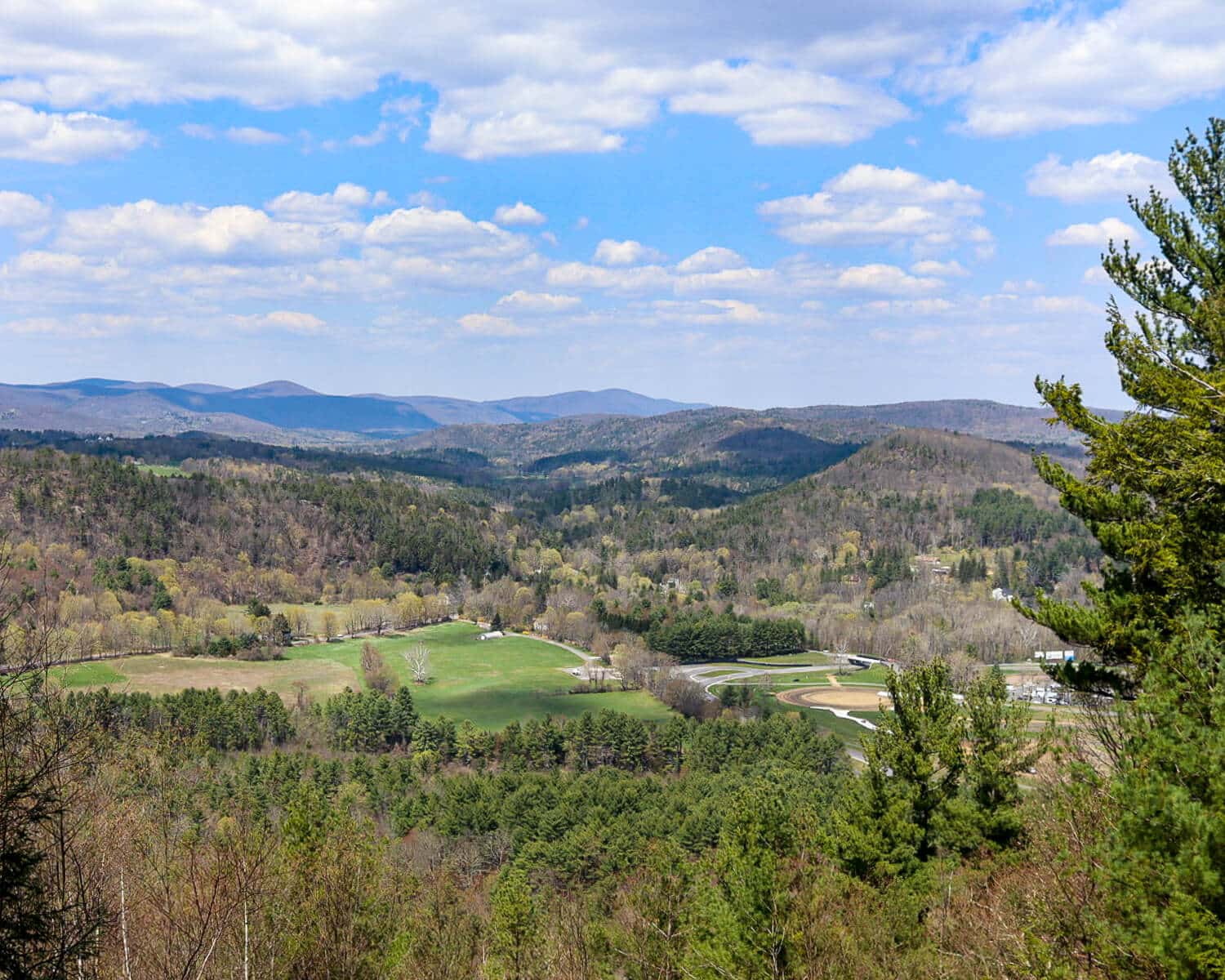
To start, you’ll climb up about 800 ft and reach the top of Schaghtichoke Mountain which offers sweeping southeast views. I’ve always wanted to make it here for sunrise and add it to my list of CT sunrise hikes!
You will stay up at this elevation for the most part walking along with minor dips here and there, a stream crossing, and a tent site. It’s a lonnnng walk in the woods after this first view. I’m ashamed to admit I got a little bored and very tired on this hike after a few miles with not much to look at. 🥹
The descent to the road is a little steep but you’ll be SO glad to see your car and complete this second leg of your Appalachian Trail journey. 🐾
3. CT AT Leg 3: Macedonia Rd to River Rd, Kent
- 🥾 Miles & Elevation Gain: 4.7 miles, 1,362 ft
- 🗺️ AllTrails Map
- 🚙 Parking starting point: Click here to navigate to 41.73107, -73.4906 small pull off along Rt 341 Macedonia Rd in Kent by Kent School
- 🚗 Parking end point: Click here to navigate small pull off along River Road
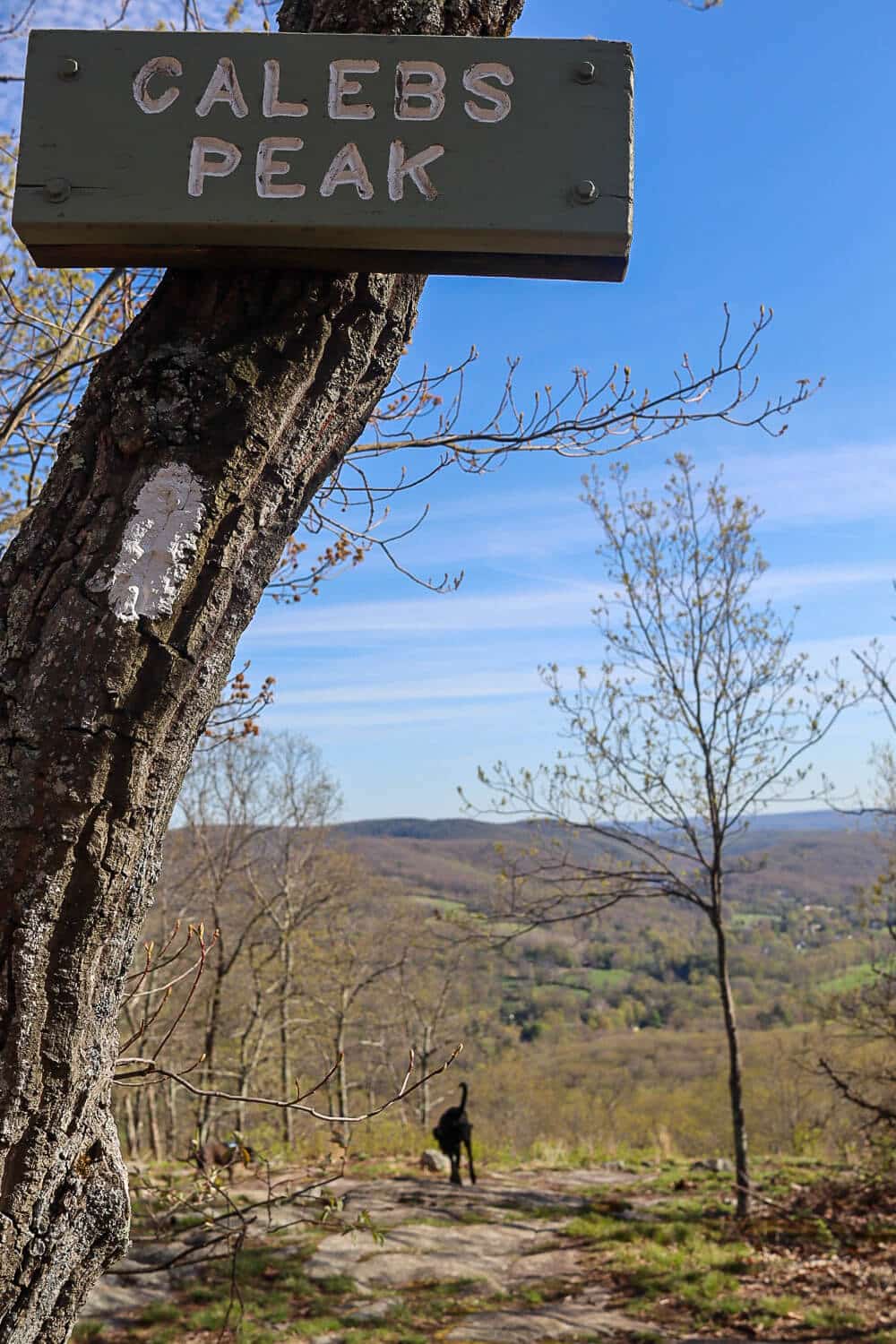
- 🌟 Highlights: Beautiful views from Caleb’s Peak and also St. John’s Ledges

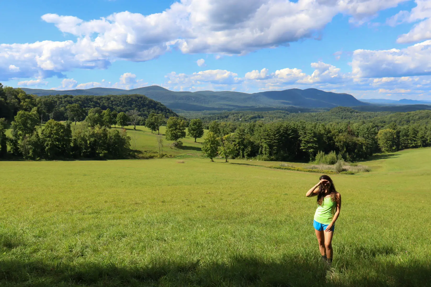
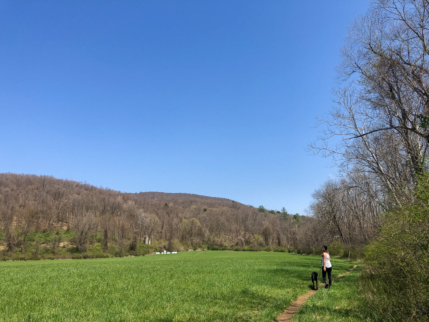
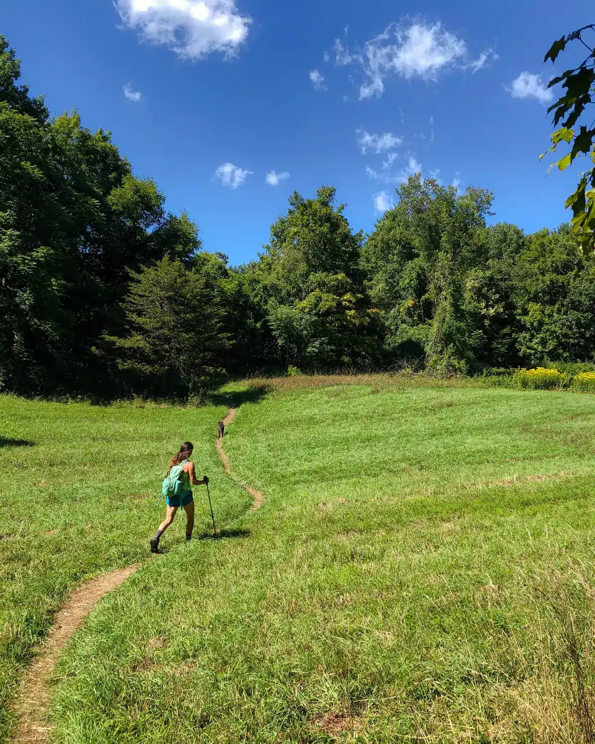
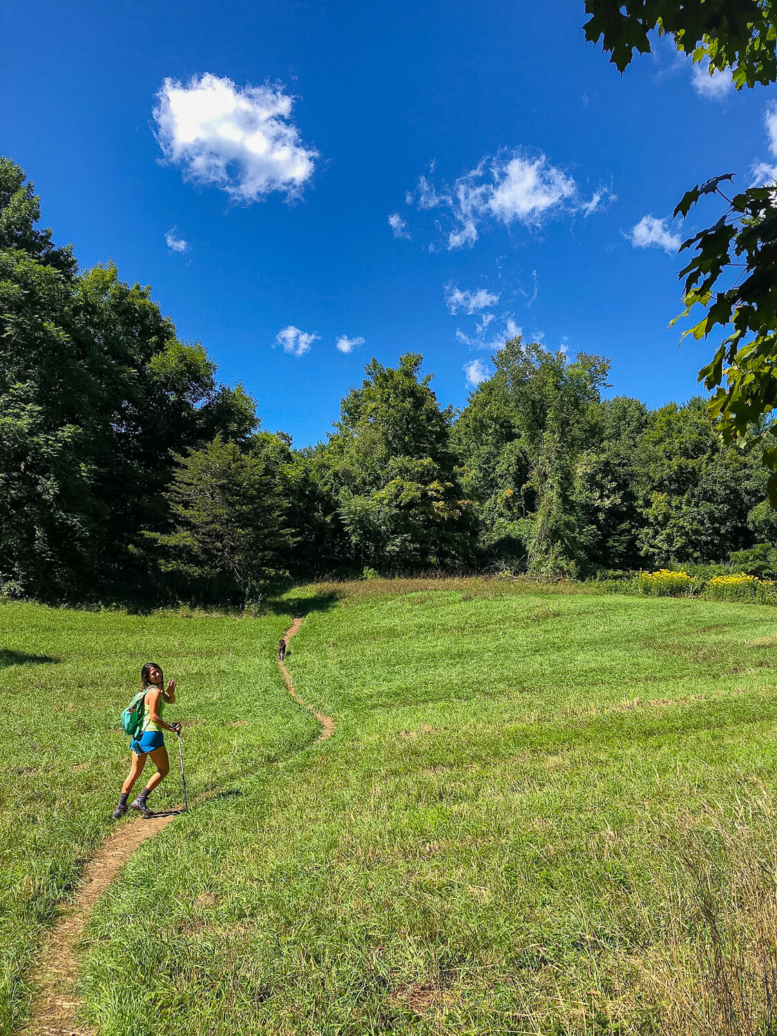
You’ll love the start of this hike. Entering a big field that takes you across a little stream and lets you settle in before you begin a little climb of 500 feet in 0.4 miles that will get your heart pumping.
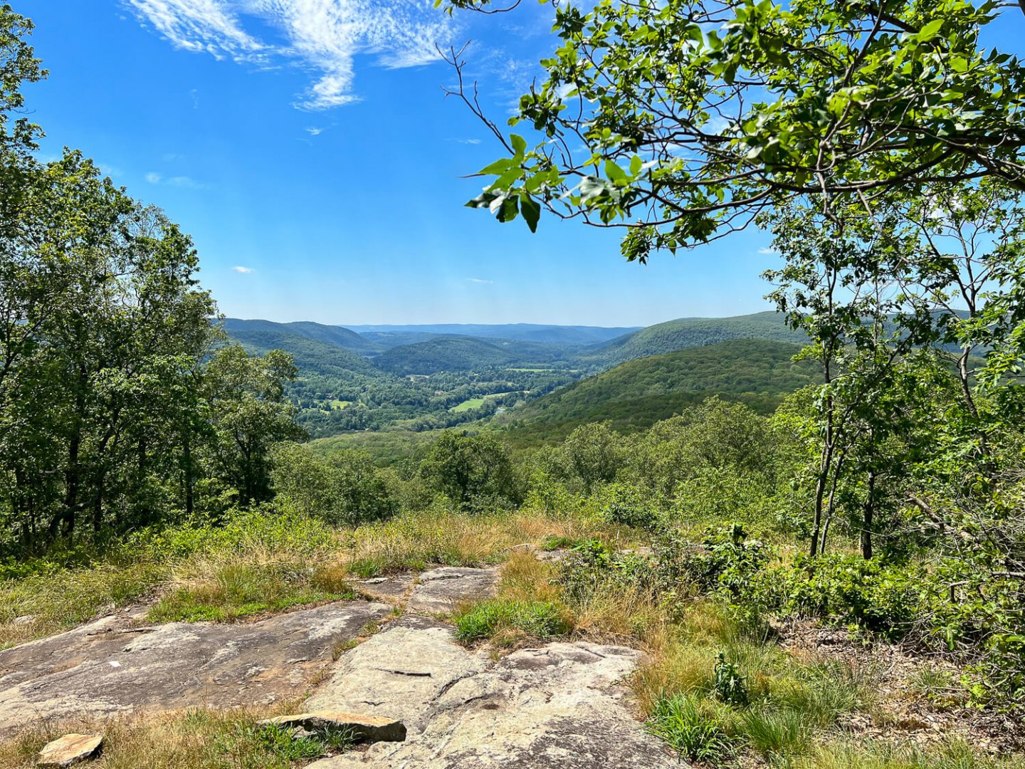
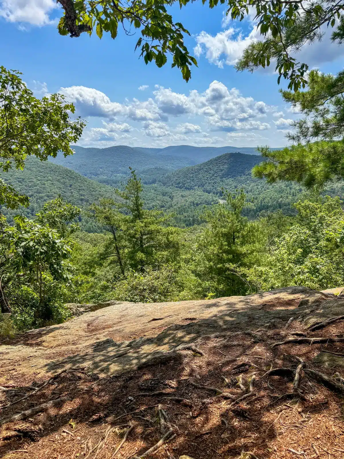
The highlight of this hike is for sure Caleb’s Peak with wide open views to the east and then also St John’s Ledges, steep jagged cliffs, which you’ll walk along at the end of the hike. There are also great views from St John’s Ledges, too.
The slabs are slabs of rock (that you walk along) are about 100 feet high and are named after their owner in the 1800s, Timothy St Johns. (Full post on hiking St John’s Ledges here.)
4. CT AT Leg 4: River Road to Pine Knob Loop Trail, West Cornwall
- 🥾 Miles & Elevation Gain: 8.5 miles, 1,391 ft
- 🗺️ AllTrails Map
- 🚙 Parking starting point: Click here to navigate small pull off along River Road
- 🚗 Parking end point: Click here to navigate to 41.8332, -73.38361 large parking lot for Pine Knob Trail
- 🌟 Highlights: Long flat stretch right along Housatonic River plus Hatch Brook Falls waterfall
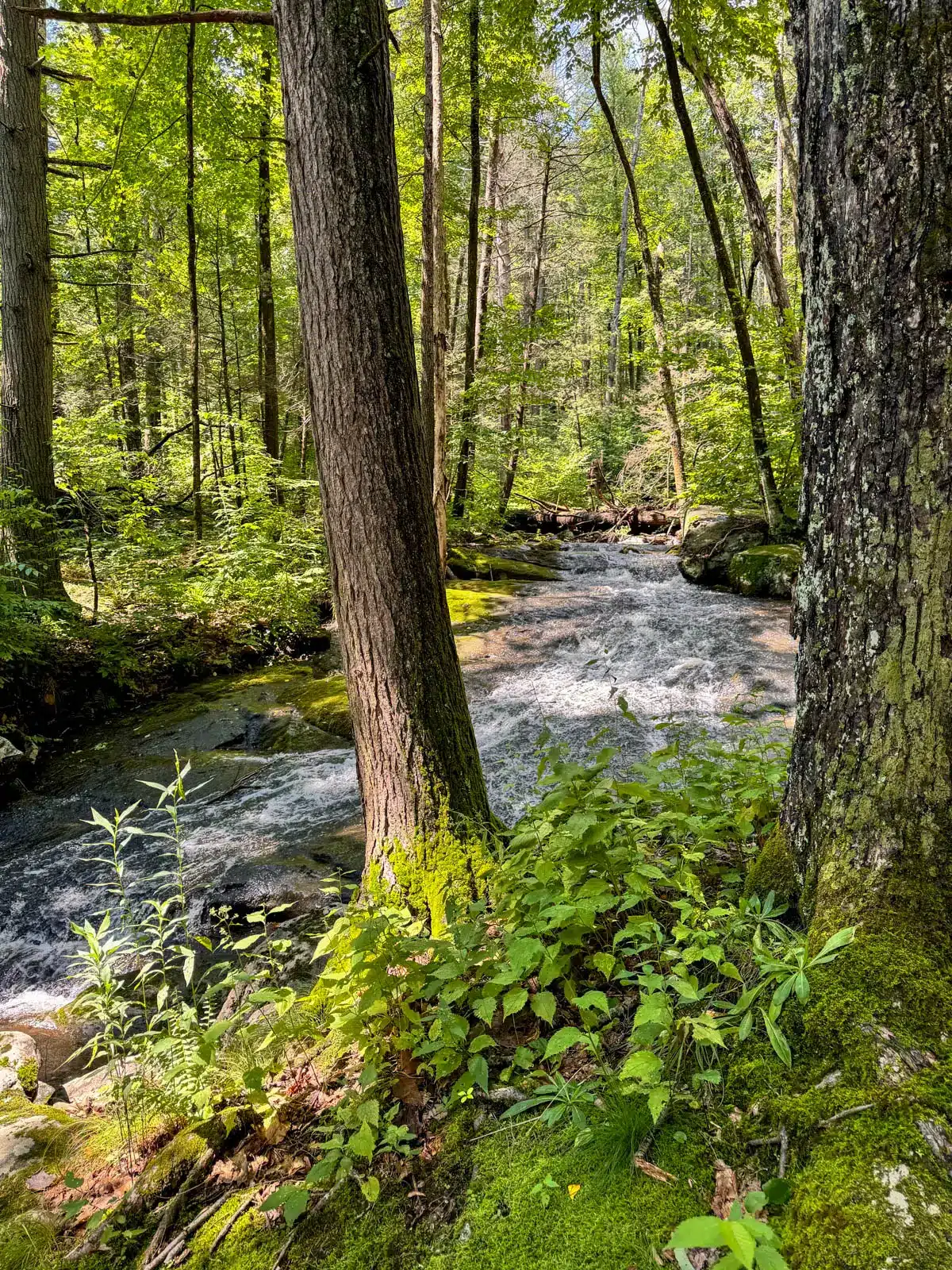
If you love narrow paths that hug and run alongside a river, then you’ll love this stretch of trail! This is the longest stretch of the Appalachian Trail that runs right along the Housatonic River.

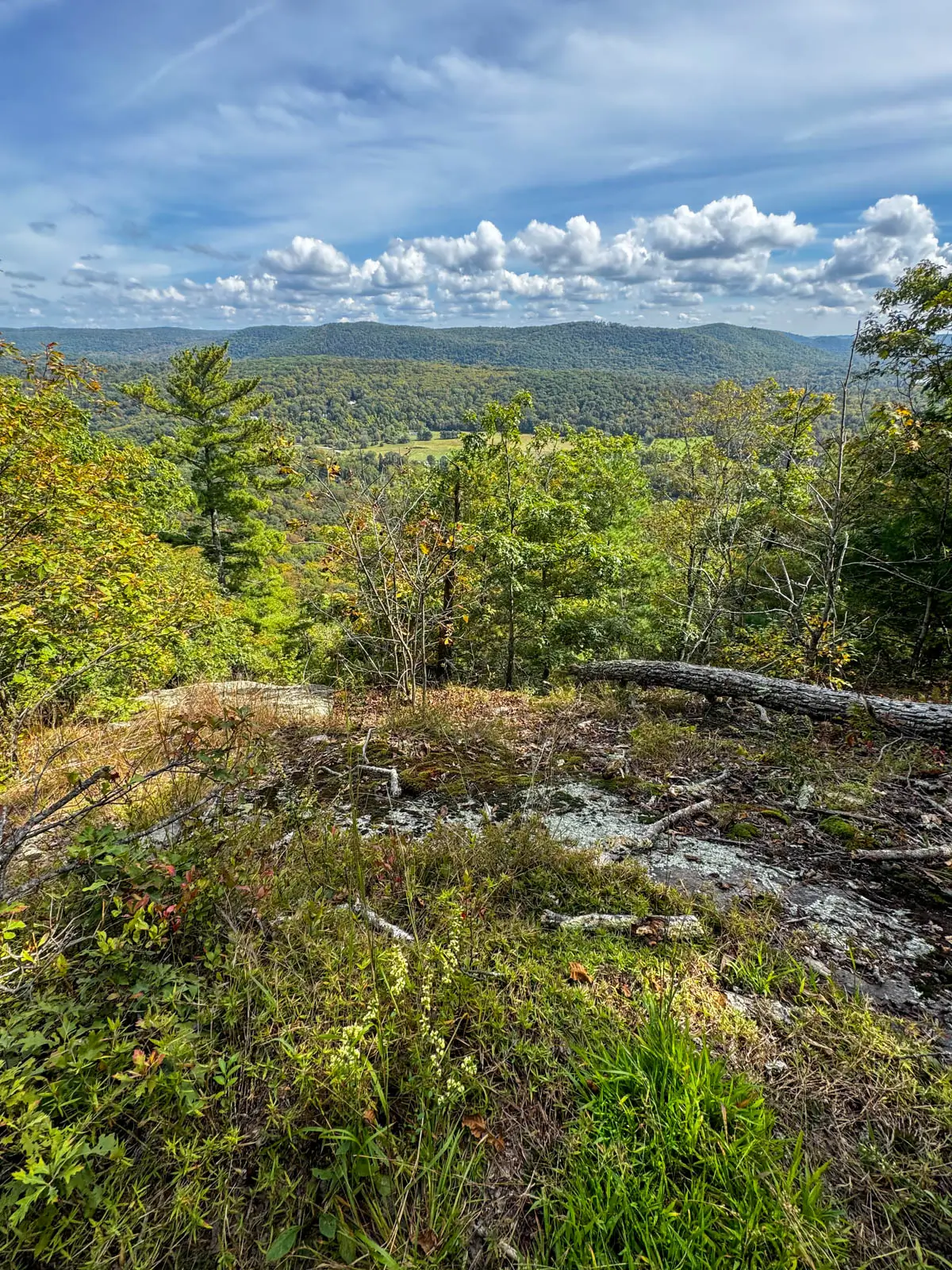
While there are no big mountain views on this leg, I always find the views of and proximity to the river quite fulfilling!
Aside from a few miles right along the river, you’ll also walk through a wide open field with rolling hills on your left. It’s incredibly peaceful and scenic and I love hiking here in any season.
While this is a longer hike, the first 4.5 miles of this hike is flat. You’ll then gain some elevation and at the end come down along the raging Hatch Brook Falls at Pine Knob Loop where you will end and find your car. 💦
5. CT AT Leg 5: Pine Knob to Sharon Mountain to Rt 7, Salisbury
- 🥾 Miles & Elevation Gain: 10.7 miles, 2,600 ft (option to break this into 2 smaller hikes, read on below)
- 🗺️ AllTrails Map
- 🚙 Parking starting point: Click here to navigate to Pine Knob Loop parking lot
- 🚗 Parking end point: Click here to navigate to small pull off along Route 7 in Sharon
- 🌟 Highlights: Big view from Pine Knob, big view from Sharon Mountain & Mount Easter
This is a big one so pack lots of snacks and water!
Alternatively, if you’d like to break this 10.7 mile stretch into 2 shorter hikes – here’s what you can do:
You can hike for just 3.8 miles from Pine Knob until you get to W Cornwall Rd (you will need to leave your car here where the trail meets W Cornwall Rd :)) and then your next leg will be 6.9 miles starting from W Cornwall Rd and ending at the same end point above on Route 7.
You’ll start with almost 600 ft of elevation gain here which takes you up to Pine Knob Lookout (great sunrise hike!). This is a great spot for a snack.
Continuing on you’ll have several ups and downs until you get to Sharon Mountain. This is another great view and good place to sit as long as you don’t mind the sound of the racing cars below at Lime Rock Park which is very cool to see! 🏎️🏎️
You will definitely feel a sense of accomplishment after this hike and hopefully have lots of beautiful pictures to go through with all these views. 📸⛰

6. CT AT Leg 6: Route 7 to Rt 44, Salisbury
- 🥾 Miles & Elevation Gain: 8.5 miles, 1,437 ft
- 🗺️ AllTrails Map
- 🚙 Parking starting point: Click here to navigate to small pull off along Route 7 in Sharon
- 🚗 Parking end point: Click here to navigate to 41.99156, -73.41527 small pull off along Route 44 in Salisbury
- 🌟 Highlights: views from Mount Prospect, wide open meadow views from Rands View/Raccoon Hill, Great Falls waterfall
This hike might become one of your favorites as it combines a bridge crossing, a raging waterfall, and two beautiful views; one of which seems to come out of nowhere which makes it all the more special. ⛰️

You’ll start by walking along a quiet road in the small village of Amesville, crossing a bridge over the Housatonic River and meeting up with Housatonic River Road which you’ll walk along for a short bit.
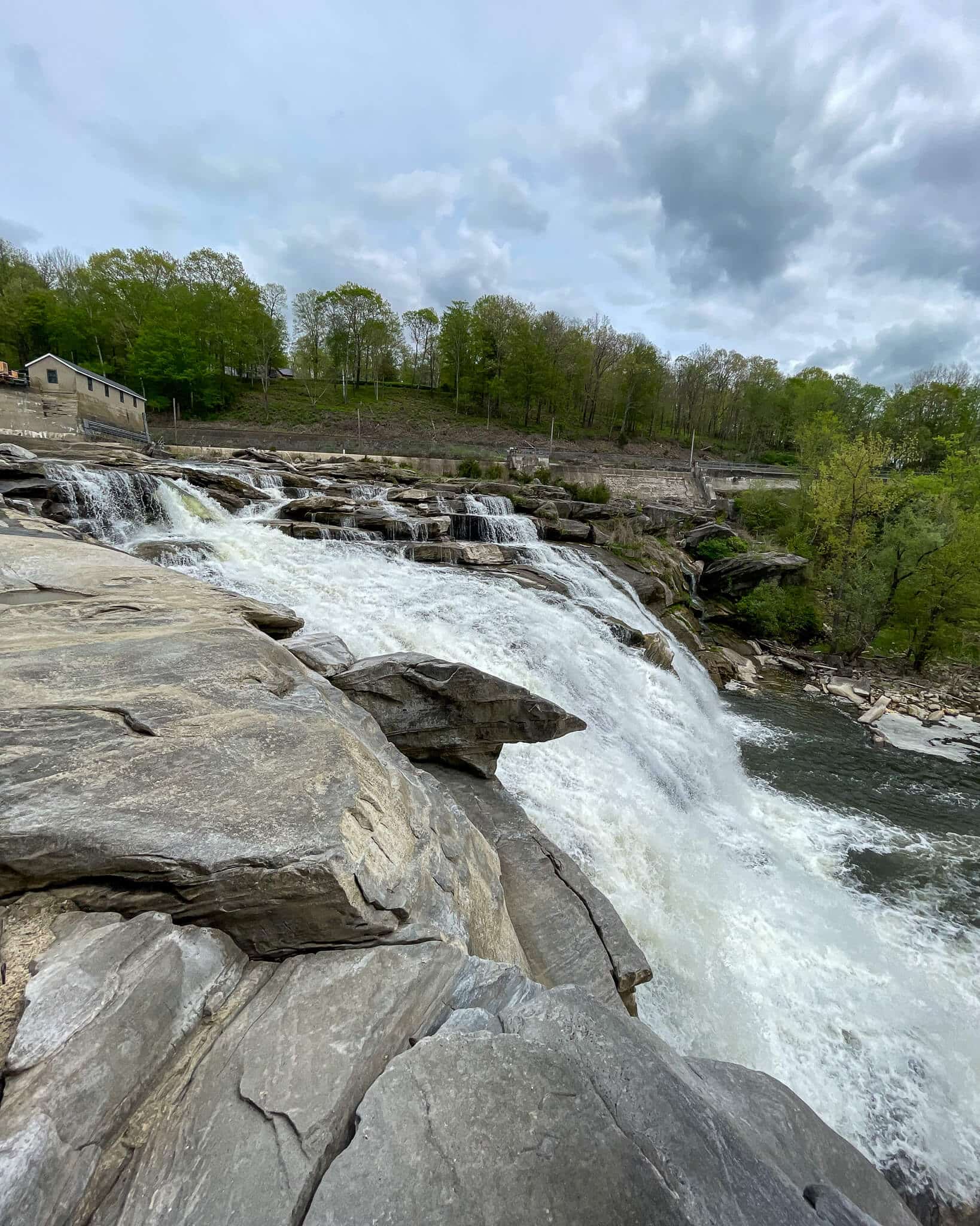
After about 2.7 flat miles you have the option of getting closer to a top waterfall in CT called Great Falls! (You’ll see signs and a trail leading to the right if you’d like to get a closer view of the waterfall. It’s worth it!)
After seeing the waterfall on your right, get back onto Housatonic River Road where you will see a trail and white blazes leading up into the woods on the left.
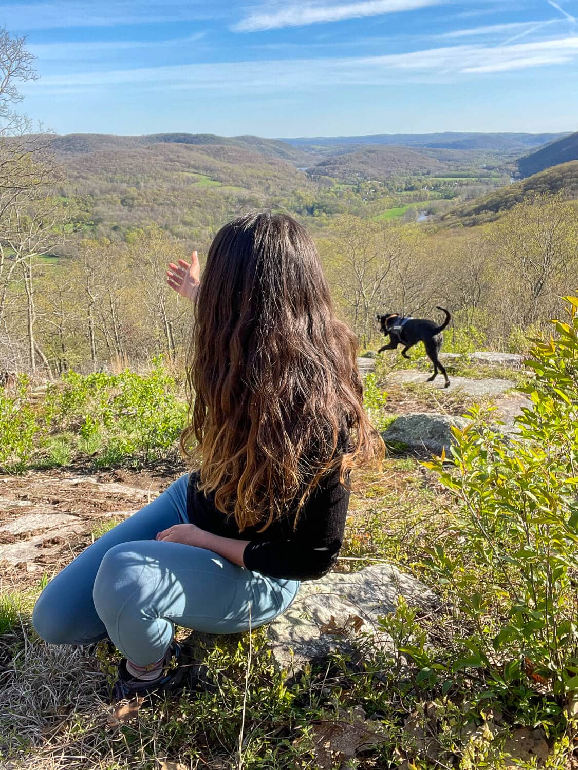
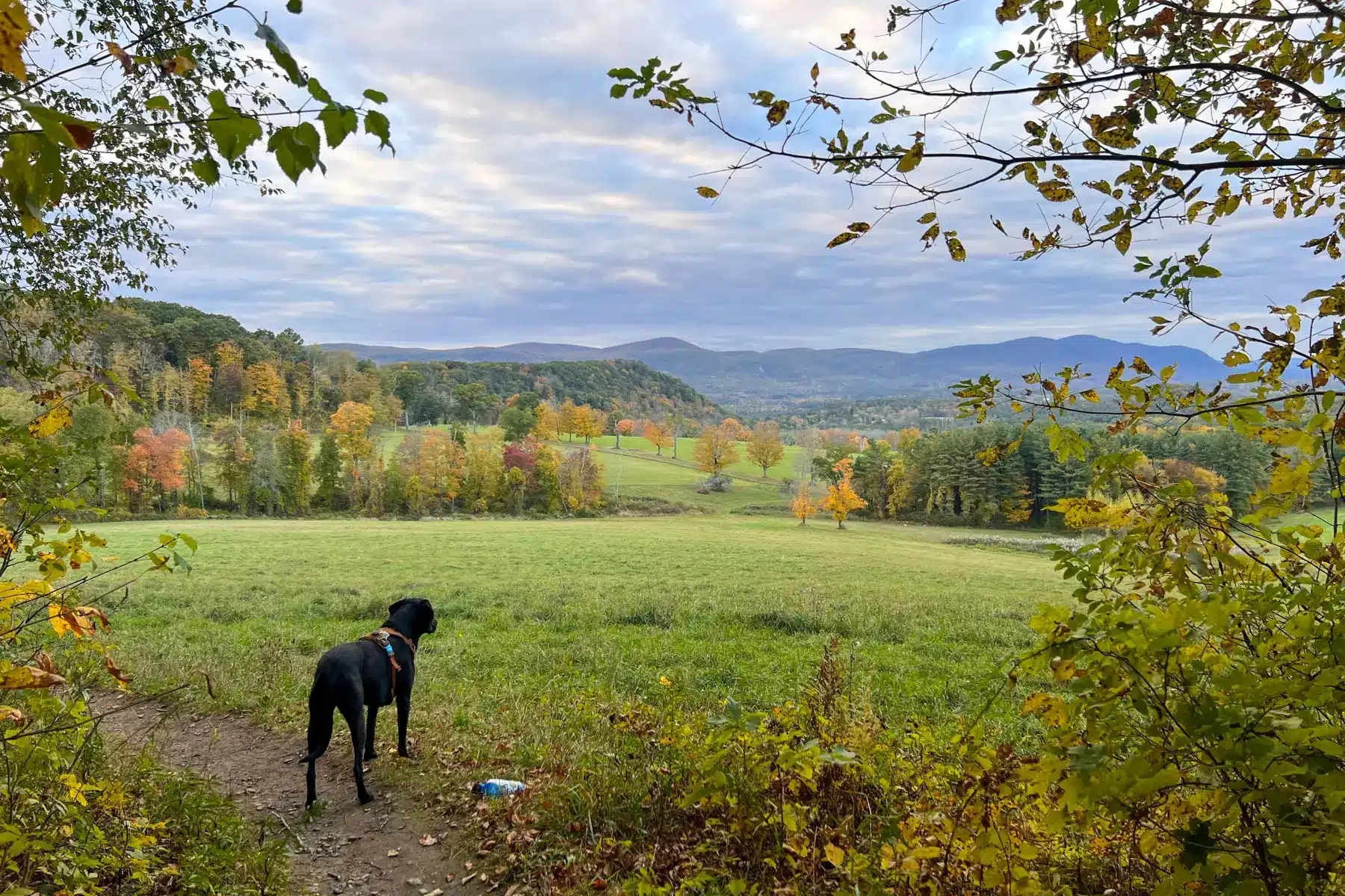
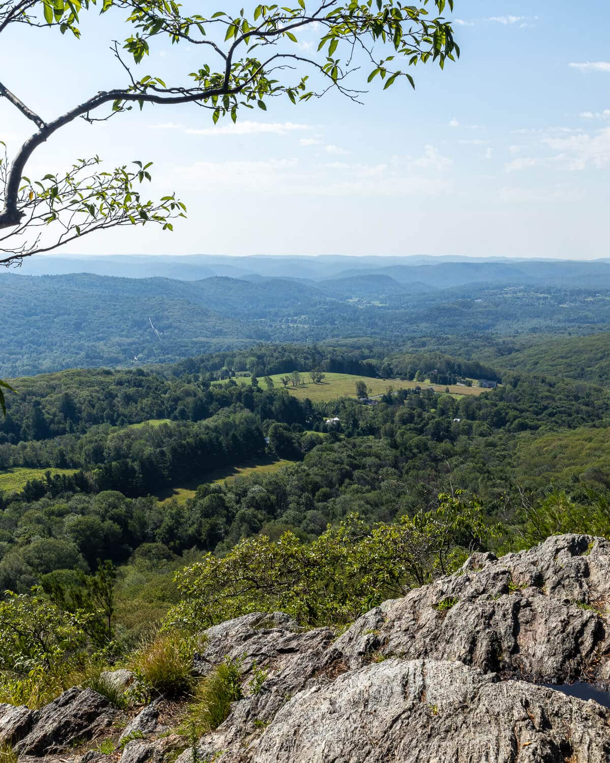
Here begins a long and steady (1.7 mile) climb up to Mount Prospect. Take in the views here but don’t spend all your free time in this spot because just 1.2 miles later and at mile 5.9 of the hike is where you’ll stumble upon one of the most unique views in CT, Rand’s View (or Raccoon Hill) .
Emerging from the woods to a view so wide, a panorama shot wouldn’t do it justice! I’ve been here in every single season and it just never gets old.

After this, continue on the trail, keeping your eye out for Giant’s Thumb (huge stone sticking up) and enjoy the rest of the (relatively flat) way to the car.
⭐️I have a post all about hiking to Rand’s View which offers 3 different routes to get there in case you’re interested at a later date.⭐️
7. CT AT Leg 7: Rt 44 to Bear Mountain ⛰
- 🥾 Miles & Elevation Gain: 7.2 miles, 1,900 ft
- 🗺️ AllTrails Map
- 🚙 Parking starting point: Click here to navigate to 41.99156, -73.41527 small pull off along Route 44 in Salisbury
- 🚗 Parking end point: Click here to navigate small lot along East St which is sometimes closed in winter
- 🌟 Highlights: Bear Mountain & Lion’s Head
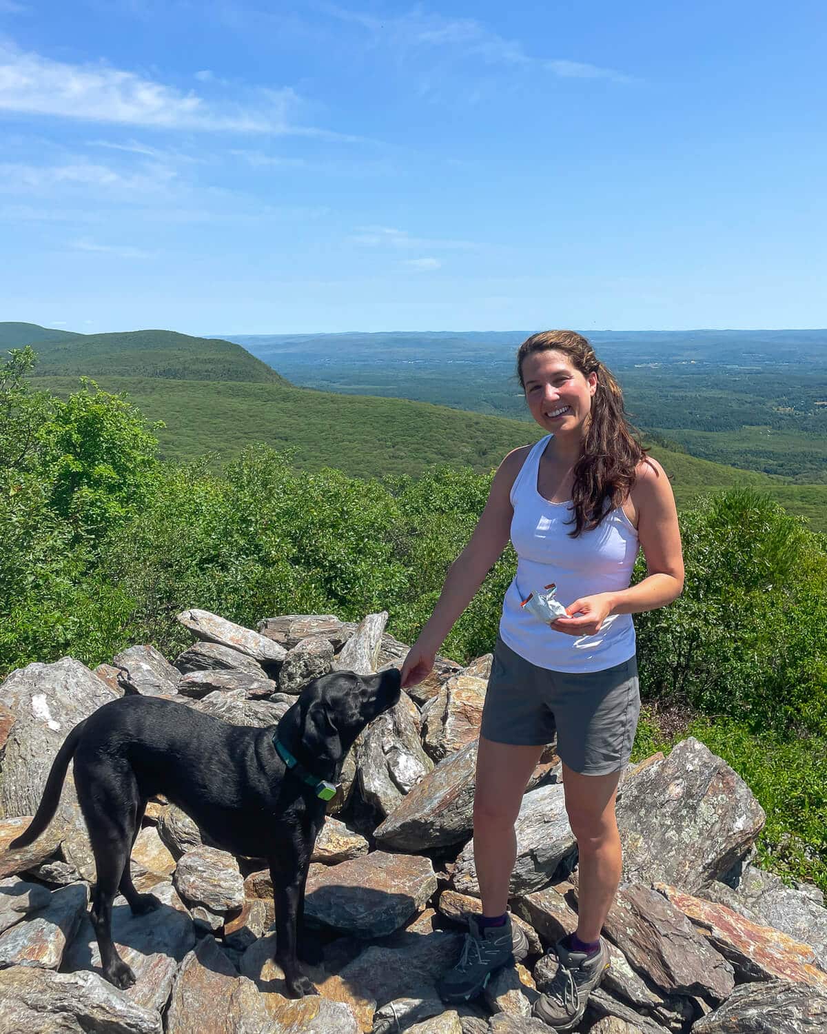
On the final leg of our Appalachian Trail in Connecticut journey, you have a bit of a steady climb but you’re treated to two high peaks; Bear Mountain (the tallest mountain in CT) and it’s neighbor, Lion’s Head.
And like a bear, you will kind of be using all fours here to reach these two peaks! 🐻
Part of the trail that takes you up to Bear Mountain goes through Mount Riga State Park in Salisbury, CT.
But before you get to the tallest mountain in CT, you will see and enjoy the eastern-facing views at Lion’s Head. 🦁 Lions, tigers, and bears!! Oh my.. I’ve caught a few good sunrises here – it’s one of the best views in CT.

There is a steep but short scramble right before you reach Lion’s Head and then you will experience a similar climbing experience on the way down from Bear Mountain’s summit. I love bringing a hiking pole (or two) to help brace myself on the way up or down these steep sections.
After Lion’s Head, you’ll head to Bear Mountain and be sure to climb the pile of rocks there and see the views in the distance.
🗺 About the Appalachian Trail in CT
➡️ Did you know that the Appalachian Trail is the longest (at 2,193 miles) hiking-only footpath in the whole world, running from Georgia to Maine?!
And we are so lucky to have a portion of it (about 50 miles worth) in our state of CT. The whole Appalachian Trail has white blazes so it’s pretty easy to follow as you just follow white all the way!
The Appalachian Trail runs through the northwest corner of Connecticut and is about 1 hour and 20 minutes from Hartford so wherever you are located in Connecticut, you can make these hikes a day trip destination.
To me, living in Farmington, CT it’s worth the drive because some the very best views in the state are on the Appalachian Trail!
🥾How to do a point-to-point hike:
First drive to the ending point and leave a car parked there. Then hop in the other car with your hiking partner and drive and park at the starting point. You are now ready to begin your Appalachian Trail Connecticut journey! 🥾
CT AT Conclusion
👏That’s it, friends! By now, you’ve either hiked the whole Appalachian Trail in Connecticut or have at least thought about it and planned it. 🙂
There are lots of hikes out there in CT to choose from but it feels great to complete a whole section of a trail.
While it’s not the whole Appalachian Trail it sure is one beautiful chunk of it! If you’d like more info on the AT you can check out this site here.
Please let me know if you complete any of these! I would love to see your pictures or hear about your experience. Leave a comment or any questions below or if you do hike and post about it on Instagram, tag me so I can see.
And if you are ready to tackle other amazing hikes in New England here are a few posts you may like:
Wherever your hiking boots take you next time I hope you have fun, enjoy the journey, and take a few pics along the way!
Happy Trails 💖🥾🐾🐾 ⛰

Common Appalachian Trail FAQ’s
Yes! About 50 miles of the 2,200-mile Appalachian Trail pass through northwestern Connecticut. It starts in the small town of Sherman along the NY border then go through Kent, Salisbury, and Canaan.
People break apart the 50 miles differently and some crazy trail runners whiz through the whole thing in a day! In this post, we break the 50 miles into 7 manageable and moderate day hikes.
The best way to hike the AT in Connecticut is south to north. This is the same direction people hiking the whole AT take and it allows you to build up to hiking Bear Mountain at the very end which is Connecticut’s tallest mountain.
As with all hikes, we are expected to follow ‘leave no trace’ packing everything out that we take in. Hikers should yield to people walking uphill, stay to the right when passing other hikers, and keep dogs on leash.


Hello Kristen, I’m looking forward to doing the River Road to Pine knob Loop section of AT In Connecticut. I’ve read your description of that hike. Could you suggest a trailhead and parking area that I could use for an out and back hike along that section?
Thank you,
Lynne
Hi Lynne! Sure, I will email some information to you. 🙂