Hike Hoyt Road to Bull’s Bridge in Kent, Connecticut
As someone who lives in CT and has hiked the entire Appalachian Trail (AT) in Connecticut, I can confidently say that Hoyt Road to Bull’s Bridge holds a special place in the heart of this journey.
If you’ve never heard of the Appalachian Trail, it’s a 2,190 mile trail that runs from Springer Mountain in Georgia all the way to Mount Katahdin in Maine. It passes through 14 states along the way and we are so lucky that about 51 miles of it passes through the northwest corner of CT!
This Hoyt Road to Bull’s Bridge hike is about 4.3 miles long and is known as “The Gateway to Connecticut”. Located in the quaint town of Kent, CT, it’s the first section of the AT in CT when hiking south to north.
If you are not doing this as a two car point-to-point hike then it will be an 8.6-mile hike for you!
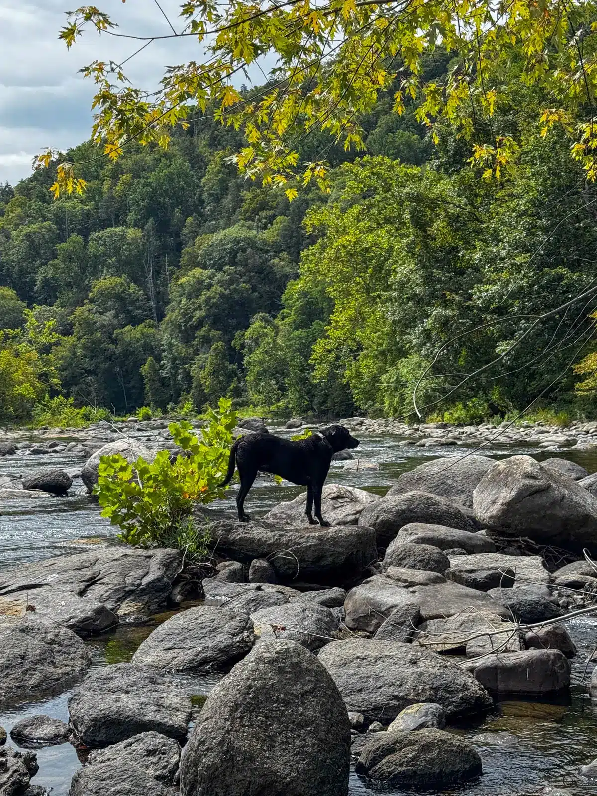
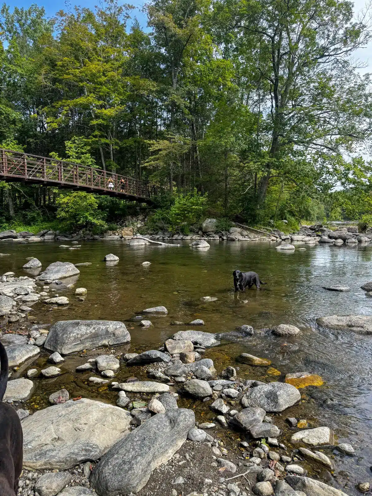
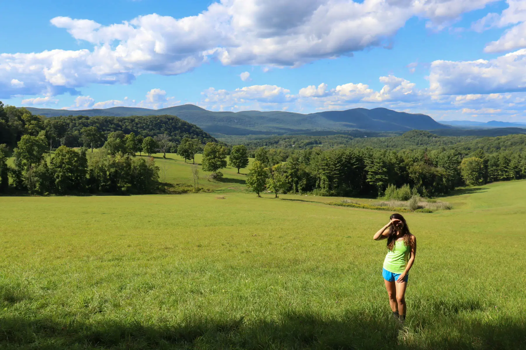
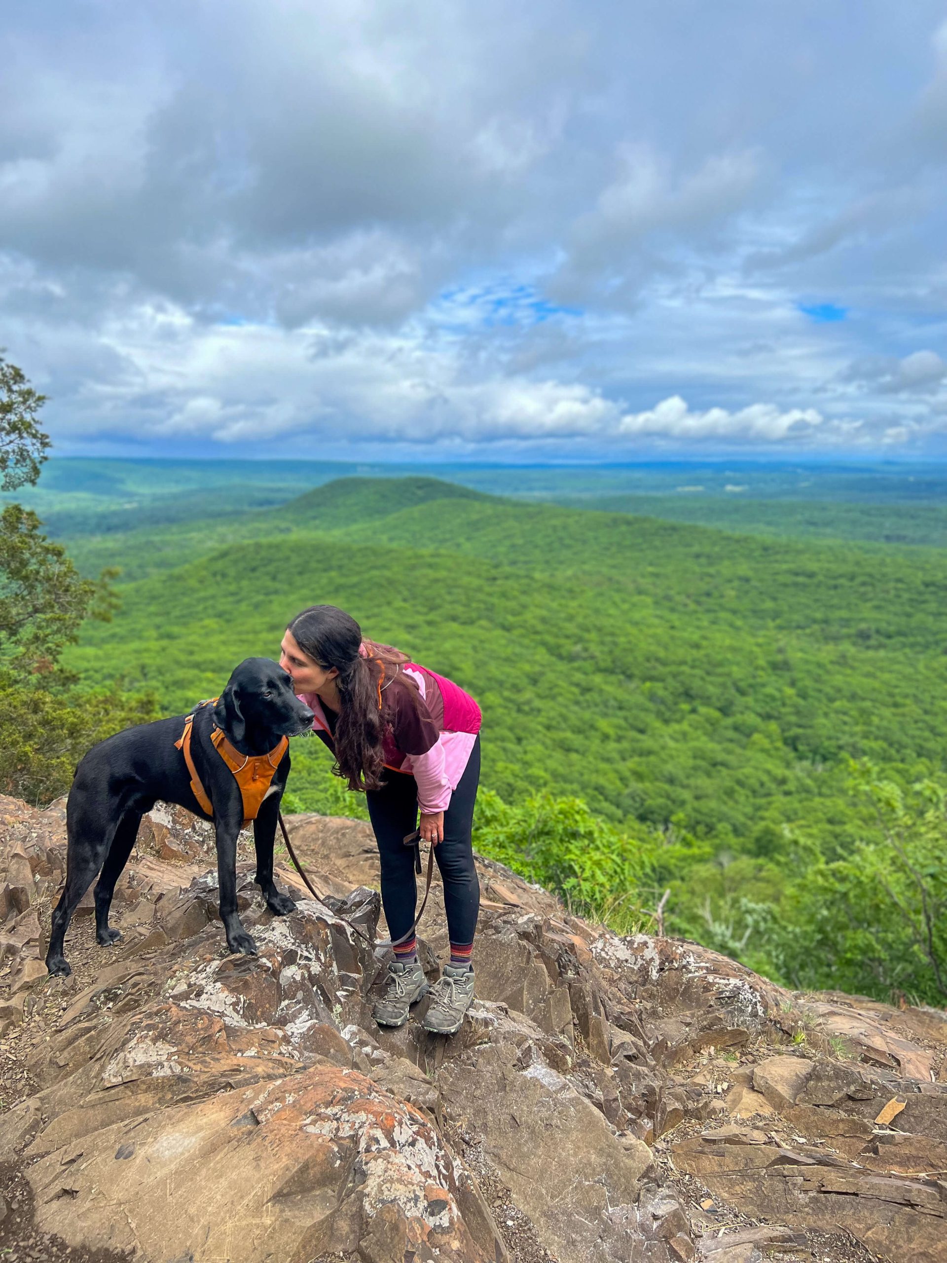
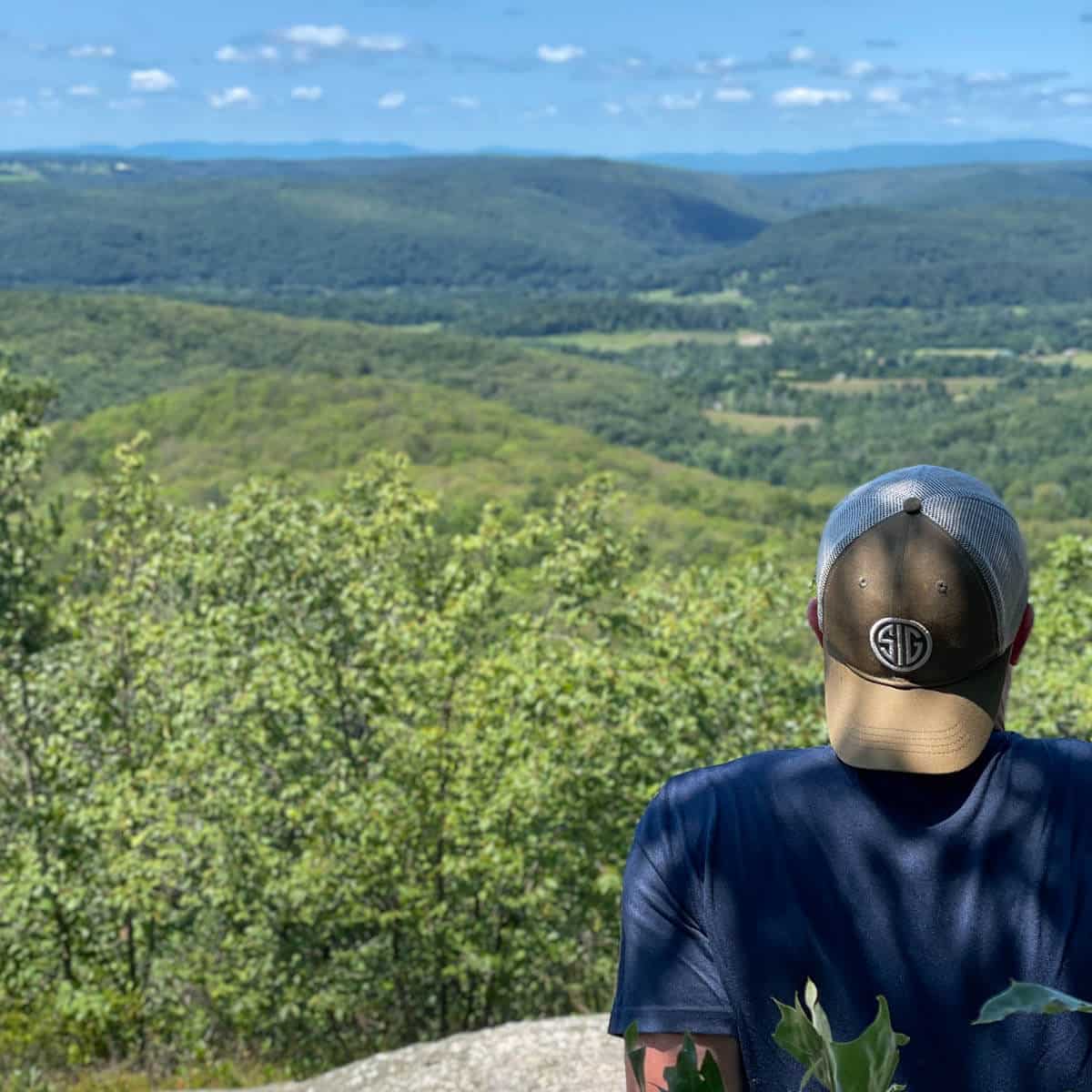
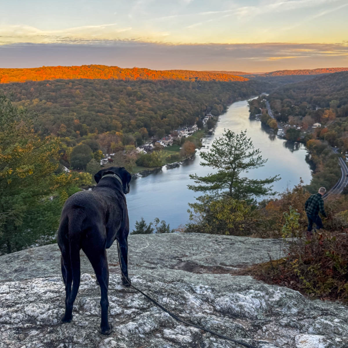
This section a wonderful introduction to what the Nutmeg State has to offer on this iconic long-distance trail. While you won’t find any big views here you will find a small view on Tenmile Hill and then lots of scenic spots along the rambling Housatonic River for for viewing and swimming! Well, for our dogs at least. 🙂
And since you’re making the trip to the western edge of CT – be sure to check out my post 25 Fun Things To Do in Kent, CT to find out where to eat and get trail snacks after your hike!
Hoyt Road to Bull’s Bridge Hike Overview
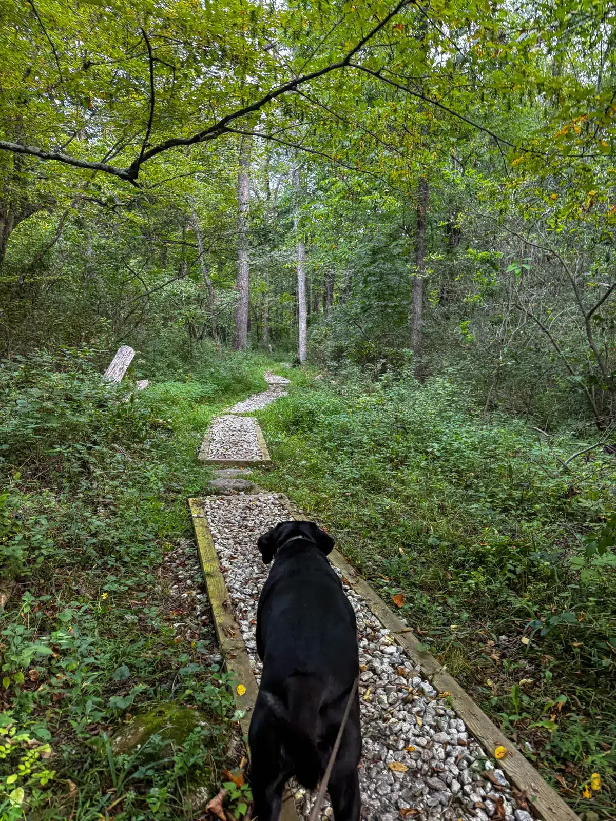
This section begins right at the Connecticut–New York border at Hoyt Road and winds its way through classic New England forests and rolling terrain down toward Bull’s Bridge in Kent.
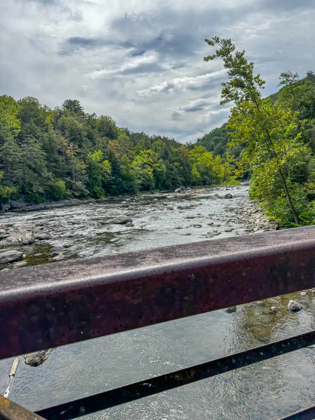
The route is generally considered moderately challenging, with a noticeable climb up Ten Mile Hill early on before descending toward water features like Ten Mile River and eventually following the Housatonic River as you near the covered bridge.
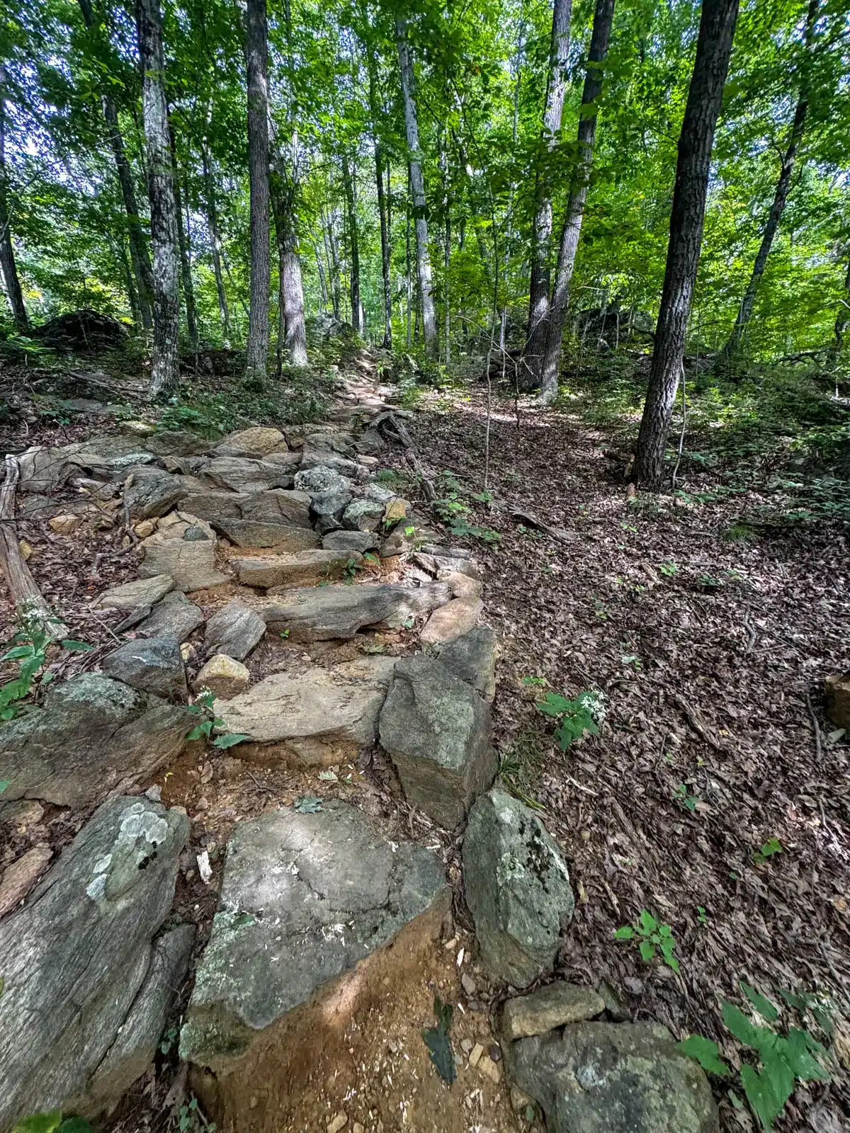
If you’ve never hiked on the AT before you’ll get a great sense of what it’s all about with this hike. You will notice and appreciate the several sets of stairs.
Your knees will appreciate the several sets of stone steps (made of rocks of course) and send a thank you to the AT trail builders when you do! 👏💚
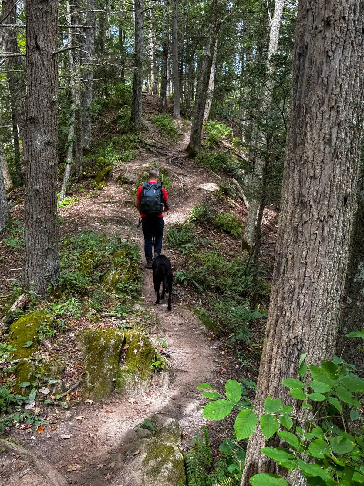
While not the longest or most rugged stretch you’ll hike in Connecticut, this section offers a beautiful mix of woods, river scenery, and that familiar AT rhythm of up-and-down terrain that keeps every step interesting.
If this is also your first experience on the Appalachian Trail and are worried about getting lost or finding your way – you are in luck! You will be simply following the iconic white blazes of the AT the whole entire time so no need to worry too much if you’re not great with directions. 🙂
🥾Hoyt Road Hike Details 🥾
Highlights of the hike:
- Classic AT forest and well-blazed (white blazes all the way) trail
- Small views from Tenmile Hill
- Riverside walk along the Housatonic
- Arrival at the historic Bull’s Bridge area
Note: The details below are for a two car point-to-point hike. If you are going with one car and hiking this out and back (round trip) then your miles will be doubled (~8.6 miles)
- 🥾Miles: 4.3 miles point-to-point (unless you’re hiking round trip then it’s 8.6!)
- 📈Elevation Gain: 820 ft
- 🗺️ AllTrails Map
- 🚙 Parking starting point: Click here to navigate small pull off on western side of Hoyt Rd (room for a few cars)
- 🚗 Parking end point: Click here to navigate to 41.67982, -73.51278
- 🌟 Highlights: Small view at Tenmile Hill, trail runs along Housatonic River with scenic views of river, opportunities for dogs to swim 🌊
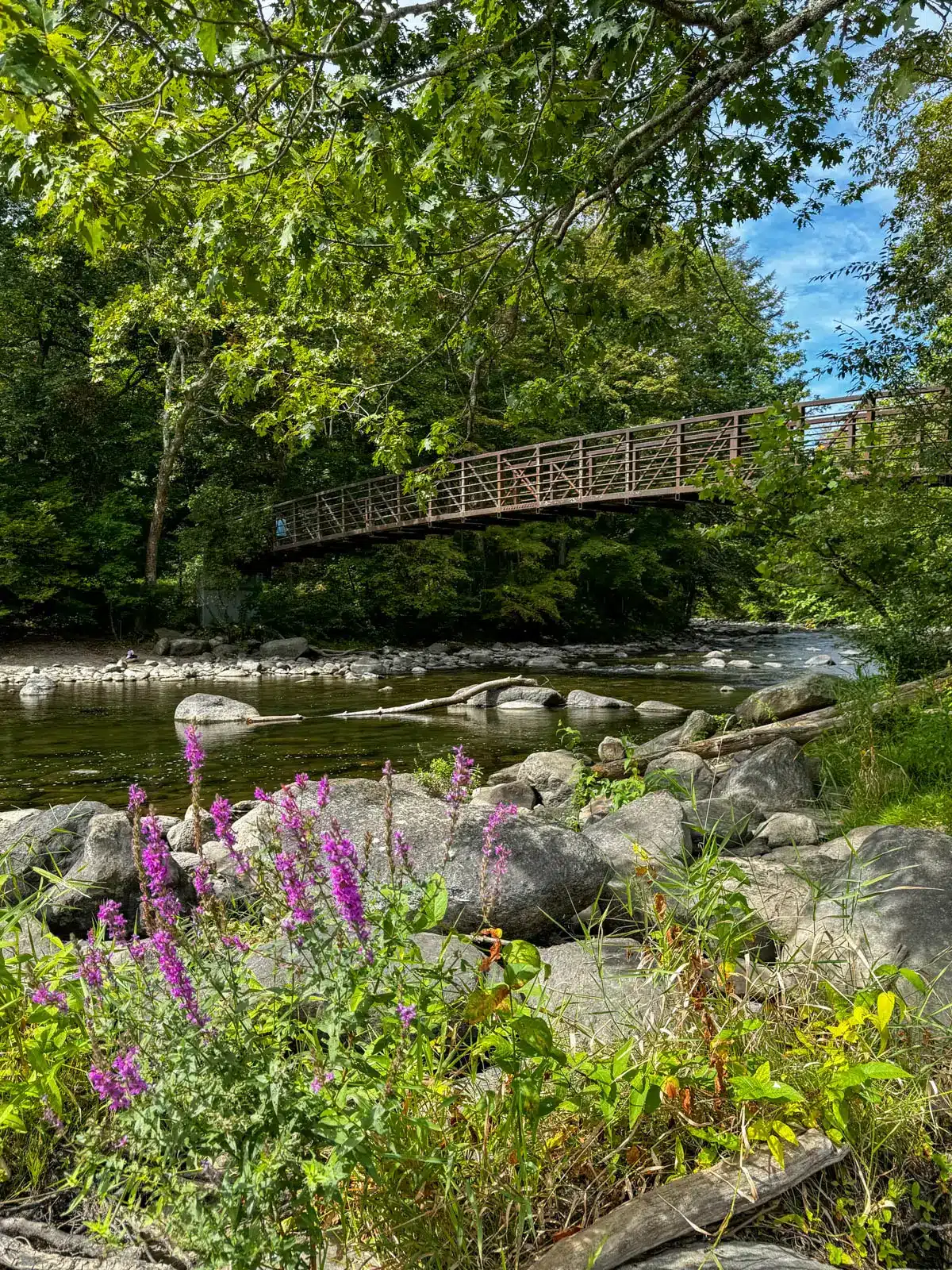
One other important thing to note if you have dogs: You will have to cross a bridge over the Housatonic River.
Don’t worry – the bridge is very safe and sturdy! But, for some reason our dogs have a hard time walking up the set of steep steel steps up to the bridge. 🤔

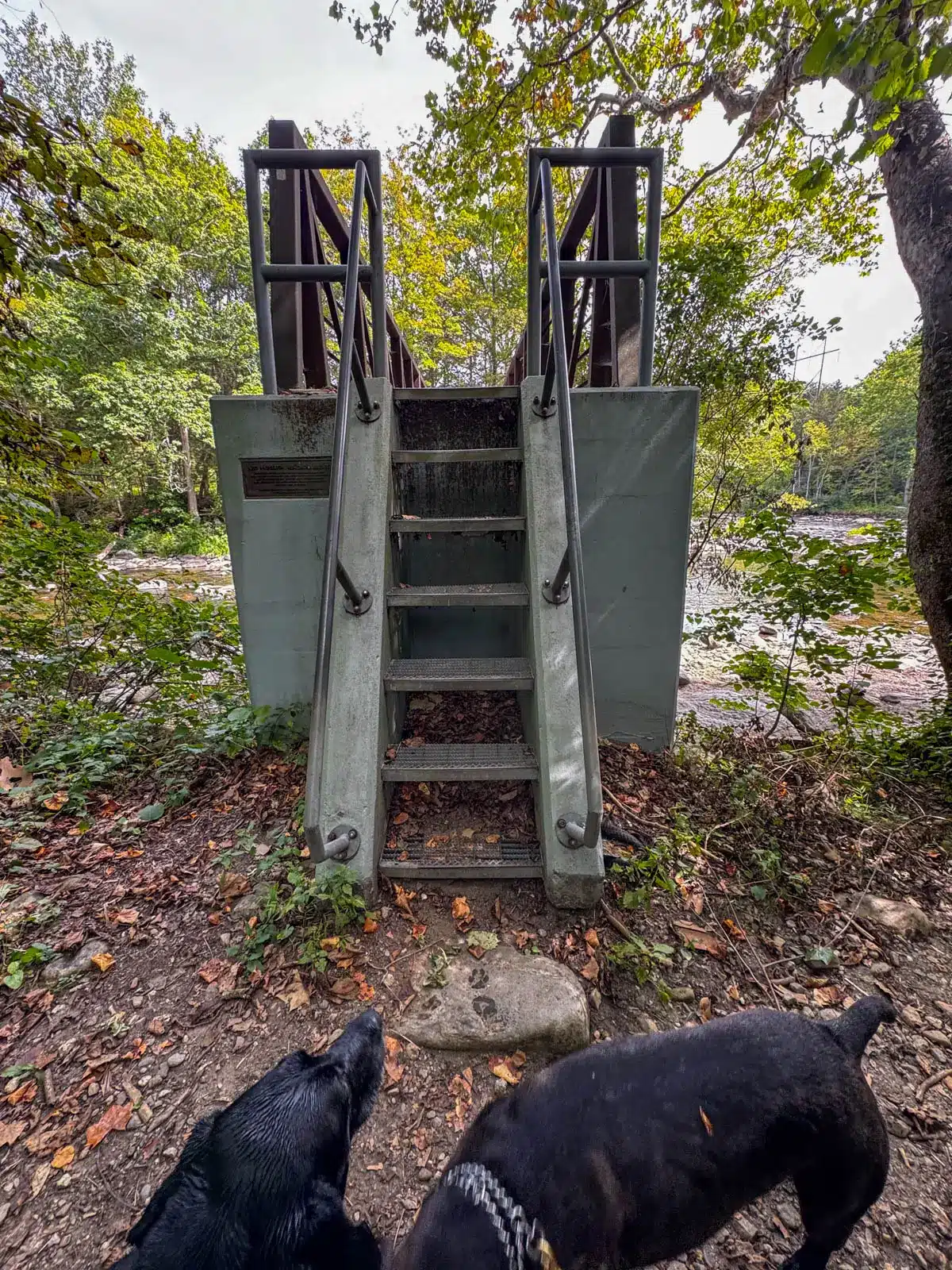
We sometimes have to give them a lift which is difficult when dealing with a 70 pound dog! Bring treats and good luck. :))
Turn-by-Turn Trail Directions
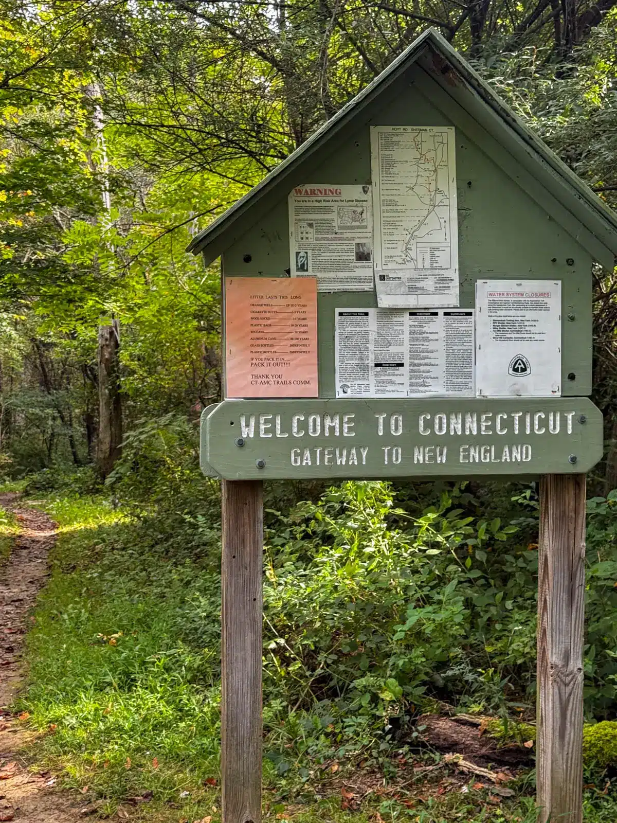
🚗 From the small pull-off on the western side of Hoyt Road, cross the street and find the trailhead and the ‘Welcome to Connecticut’ sign to start the trail, following the white blazes.

At 0.3 miles, you will notice an AT overflow parking lot on your left. Continue on the white blazed trail.
At 0.5 miles, you will have to cross Route 55 which can be a busy street. Keep dogs and kids close here!
At 1.8 miles, you will come upon the small view at Tenmile Hill.
At 2.6 miles, you may notice a blue trail leading to Tenmile Hill shelter on your right. You can take a detour here to see it or continue left on the white blazed trail heading toward the Housatonic River.
At 2.9 miles, you will come upon the bridge that takes you across the Housatonic River. Once across continue staying straight ahead (bearing a little to the right) on the white blazed trail. This trail leads you up on a ridge above the Housatonic River which you’ll be able to see below the whole time.

At 3.65 miles, bear left onto the white blazed trail heading towards Bull’s Bridge Road and away from the river.
At 4.1 miles, cross Bull’s Bridge Road and walk straight across onto Schaghticoke Road which you’ll walk on for a bit more before arriving at the second car.
Conclusion
That’s it, friends! I hope you enjoyed this guide on hiking the Hoyt Road to Bull’s Bridge section of the Appalachian Trail in CT.
I hope this is the initial spark and that you will seek out more hikes in this part of our beautiful state. And if you’re interested in more hikes on the Appalachian Trail check out my post ➡️ 7 Different Day Hikes on the AT in CT. 🌟
Have fun and feel free to ask any questions below!! I’d also love to read comments, too, after you try this hike. 🙂
Happy Trails!! 🐾🐶🥾


This section of the AT in Connecticut is probably the best to do for most people. There is not one big view the hike leads to so you can enjoy a portion of the hike if you’re time limited. It’s a beautiful, fairly leisurely, peaceful walk. Bull’s Bridge was a big meetup spot so I usually would start the hike from that end.
Hi KEvin!! I agree, it’s a great intro to hiking the AT in CT! :))