Hike Sanderson Brook Falls for Views and a Waterfall!
Want to hike the beautiful Sanderson Brook Falls loop in Chester-Blandford State Forest!? Read on for everything you need to know to hike to the views and waterfall on this beautiful 4.4-mile loop. (Options to make it shorter below)
Living in both CT and MA for years, I can say that this is a must do hike in western Massachusetts!
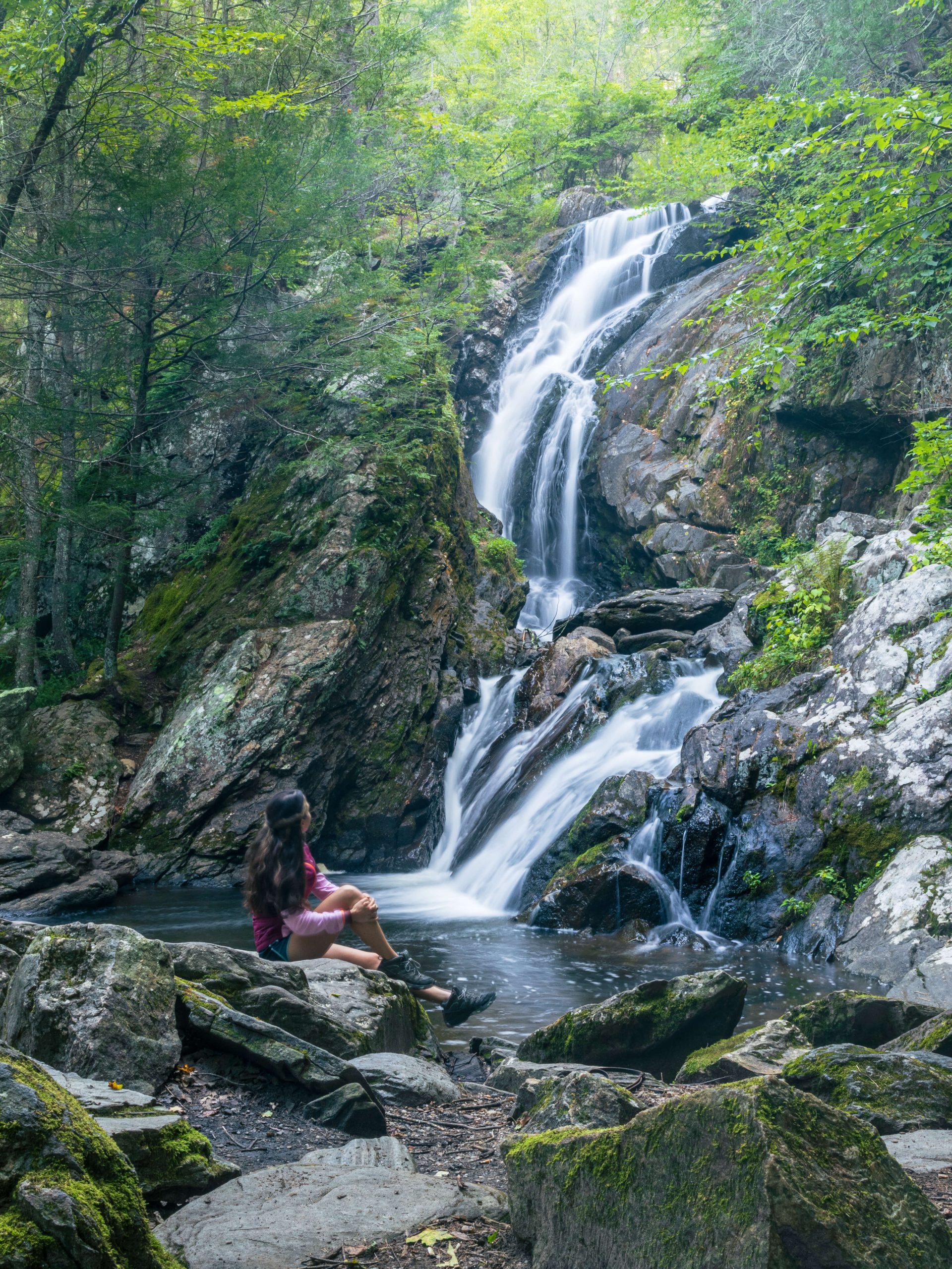
There’s so much to see from views, tons of streams, and then the impressive 60-foot Sanderson Falls waterfall at the end!
Location: This hike is in a pretty rural section of MA as it’s sandwiched between the popular Berkshires and the Holyoke/Northampton area. You likely have not had a reason to visit this area (yet!) and think this hike may change that for you… 😍👏🚗
Sanderson Brook Falls trail is located in the town of Chester, Massachusetts, in Chester-Blandford State Forest just east of the Berkshires and west of Easthampton.
Not too far past the Connecticut line, this is a great hike to do as part of a day trip to this area of Mass! (Coming from Avon, CT, it’s a one-hour drive from me!)
When planning this hike be sure to check out my post all about a day trip to Chester Massachusetts which includes other waterfalls and where to eat!
Sanderson Brook Falls History
The hike is within the almost 3000-acre Chester-Blandford State Forest which has a rich history dating back to the early colonial period.
“In the 18th century, the land that makes up Chester-Blandford State Forest was settled by European colonists. The towns of Chester and Blandford were established in 1783 and 1731, respectively. Like many areas in Massachusetts, the forested land was primarily used for timber production and farming.
During the early 20th century, there was a growing concern about the loss of forests and the need for environmental conservation. This led to the establishment of state forests across Massachusetts, including Chester-Blandford State Forest.” stateparks.com
First, I’ll do an overview of this trail and if you scroll further down you’ll find a mile-by-mile breakdown of this hike with lots of photos!
🥾Trail Review: Sanderson Brook Falls Loop Hike
OVERALL RATING: ⭐️⭐️⭐️⭐️⭐️
- Miles: 4.4-mile loop (took us about 2.5 hours including 20 minutes stop at waterfall)
- Elevation Gain: 1,079 feet elevation gain
- Level: Moderate
- Parking: Large parking lot along Rt 20/Laurel Rd in Chester. 🚗
- Directions: Navigate to the parking lot for Sanderson Brook Falls by clicking here. (GPS coordinates: 42.25619, -72.94681)
- Special features: Western facing view toward Westfield River, stream crossings (can get muddy!), walk along Sanderson Brook, and the big Sanderson Brook Falls waterfall!! 😍 🙂
🦮DOG-FRIENDLY: YES
This trail has lots of streams along it which offer water breaks for the dogs. (Bring an extra supply of water for when streams dry up in the summer!) 💦
There are no scrambles here that would make it tricky for dogs. ✅
There is a steep section on the way down (if going clockwise on the loop). I imagine it would be tricky for smaller dogs to navigate. This section on the way down is also close to the edge where the waterfall is so gather the pups and keep them close!
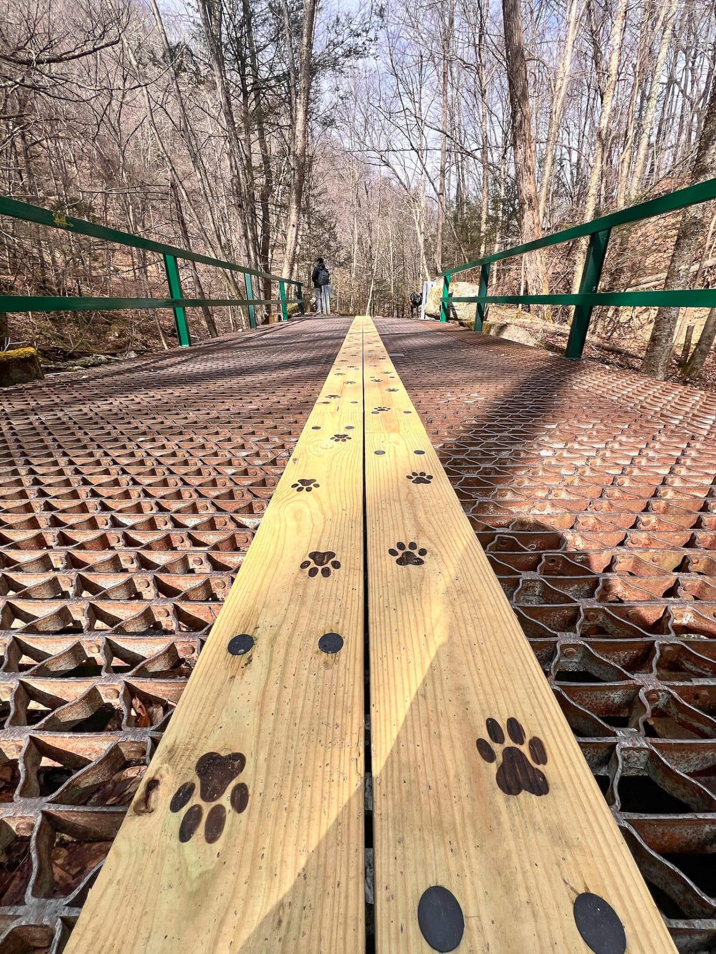 Someone added the wooden planks so dogs could cross the grate without being scared 😱💗🐾👏
KID-FRIENDLY:
This trail has a couple of steep sections of elevation on the way up and down.
As mentioned above, the section of the trail (if going clockwise) on your way down to the waterfall is along an edge so you’ll want to keep kids from getting too close.
 steep along cliffs above waterfall
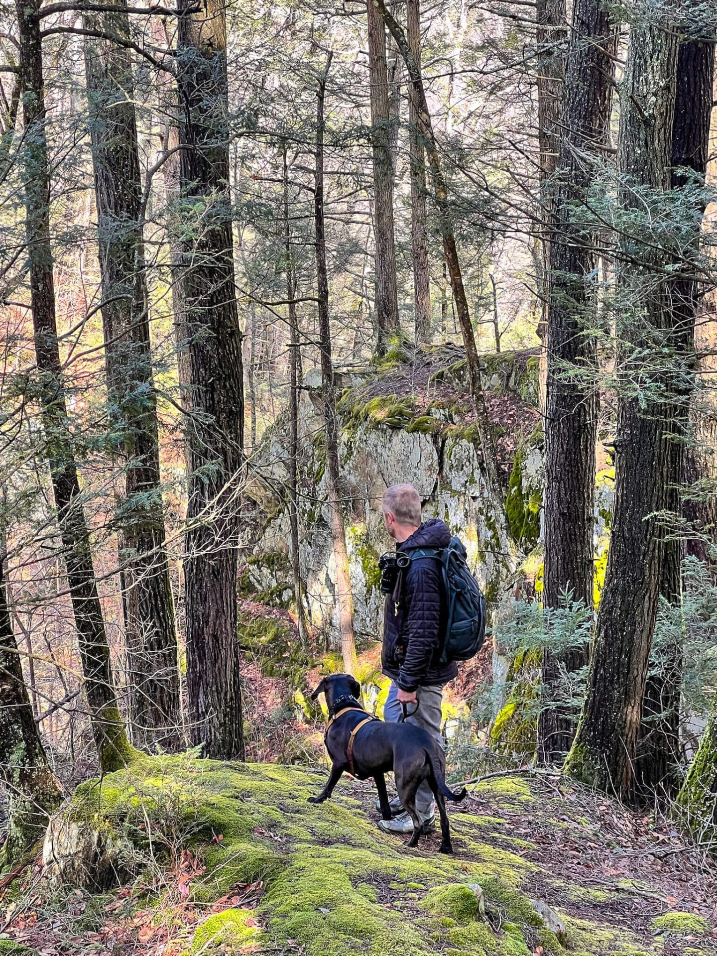 Walk along edge above the water for a bit
PEACE AND QUIET 🤫☮️:
Though the entrance to this state park is off the busy Route 20 the trail quickly leads you into Chester-Blandford State Forest where the noise of traffic drowns out.
I found this whole hike to be incredibly peaceful. I imagine a lot of people just walk 0.2 miles to get to the impressive Sanderson Brook Falls versus walking the whole 4.4 miles.
So if you are one of the lucky ones that gets to do this whole loop you’ll be rewarded with tranquility on the trail! Prepare to see people when you get to the waterfall, though.
SAFETY:
As mentioned above, I think most of the cars you find in the parking lot are for people doing the short walk to Sanderson Falls waterfall and back.
Good or bad, you likely will not see a lot of people if you do this whole loop.
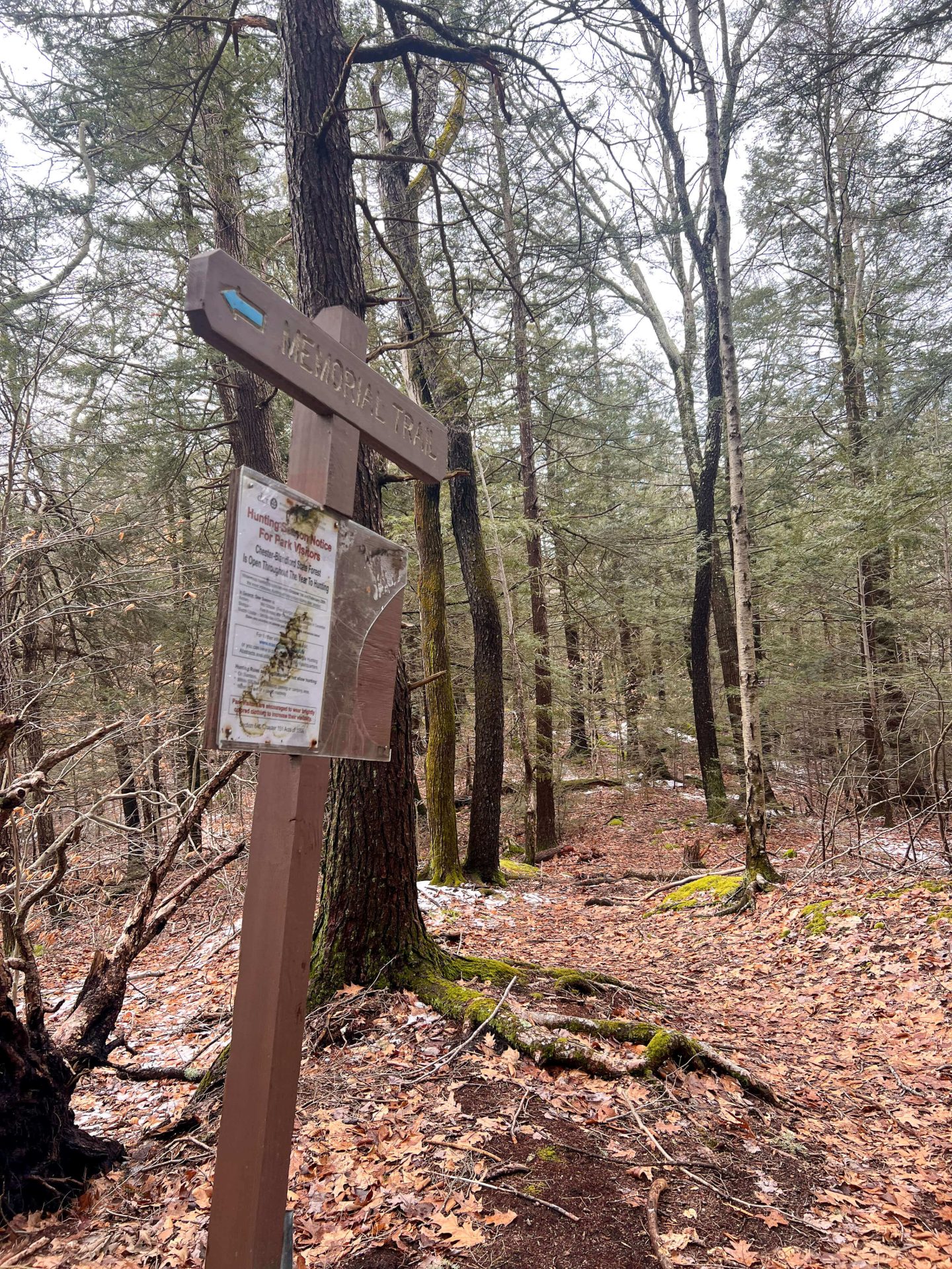
⚠️ Be aware that Chester-Blandford State Forest allows hunting year-round so if you like to let your dog off leash for short stints when no one is around – be sure they have an orange safety vest! 🧡
Trail Guide for Sanderson Brook Falls Hike 🥾
A mile-by-mile breakdown with photos, of this beautiful loop! 📝📸
We started the hike at noon on a Sunday in March with just a few cars in the lot. I have a feeling this one can get pretty crowded in summer and fall especially since the walk to the waterfall is only 1/2 mile round trip.
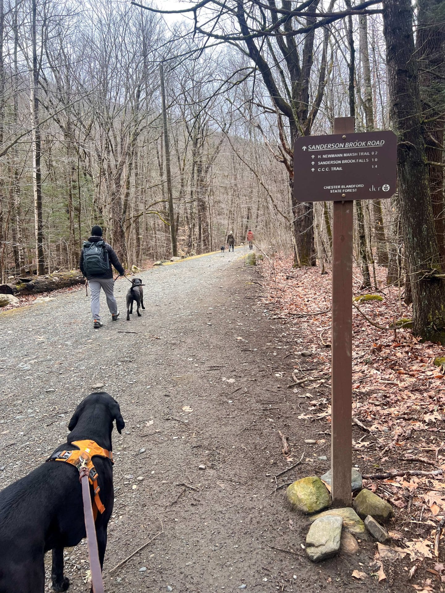
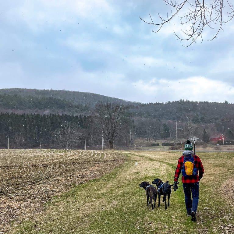
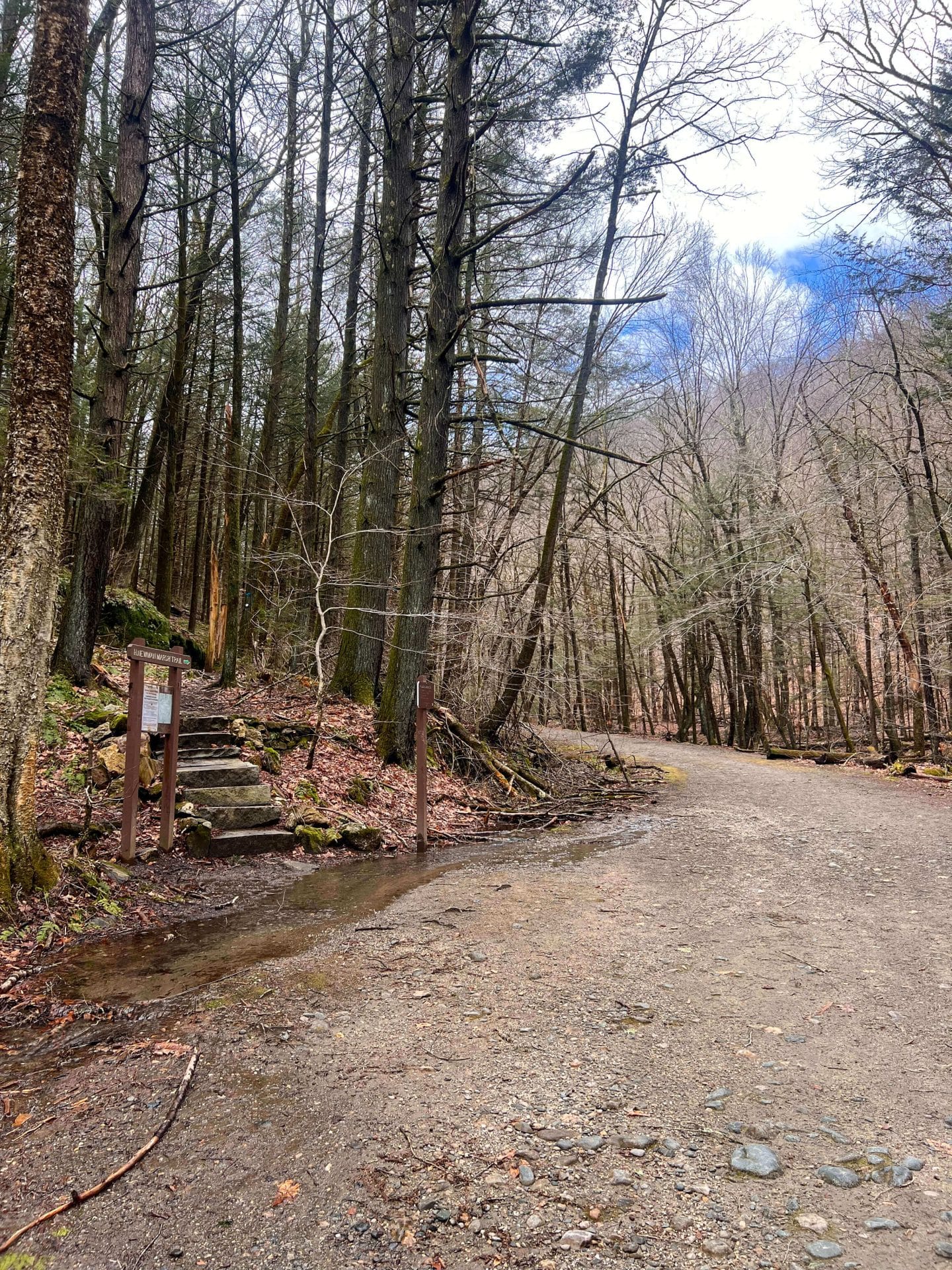
0 – 0.2 miles: You’ll walk straight ahead on a flat gravel path heading into Chester-Blandford Forest toward the loop
After 0.2 miles you will see the loop begin and a trail and sign branching off to the left.
If you want to do the loop clockwise like we did and see the views first and end with the waterfall then head left up the short set of steps and up! And up, and a little more up… 👀
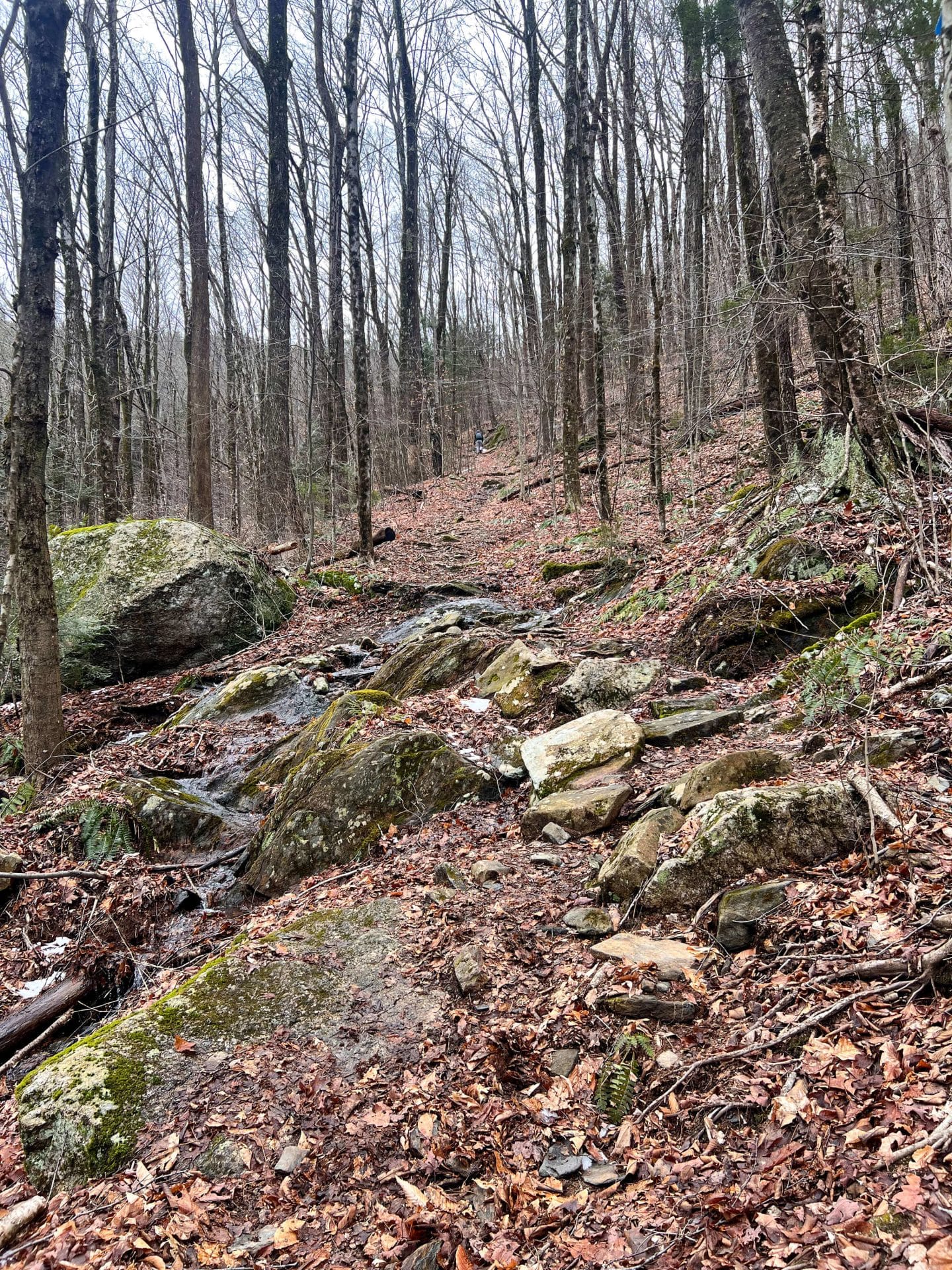
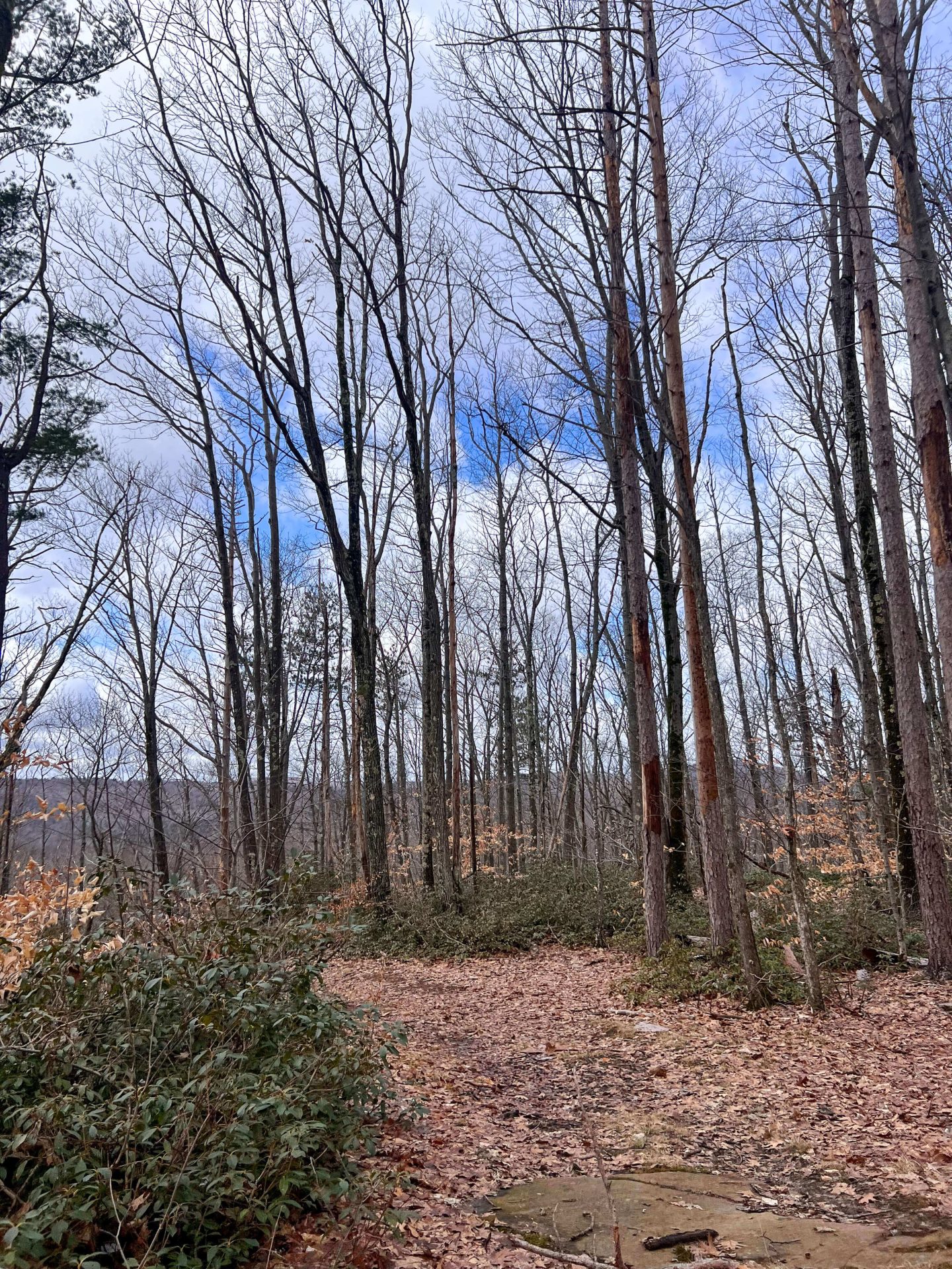
0.2 – 0.7 miles: For the next 1/2 mile you’ll climb over 500 feet until it levels out a little bit. You are on the blue trail the whole time here.
 Going up!
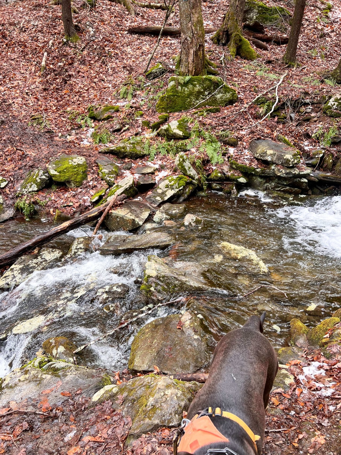 Stream crossing, lots of water in March!
During that section, while it is uphill it is nothing technical (no scrambles, you won’t need your hands) but it was muddy with the multiple stream crossings here in March (snow melt).
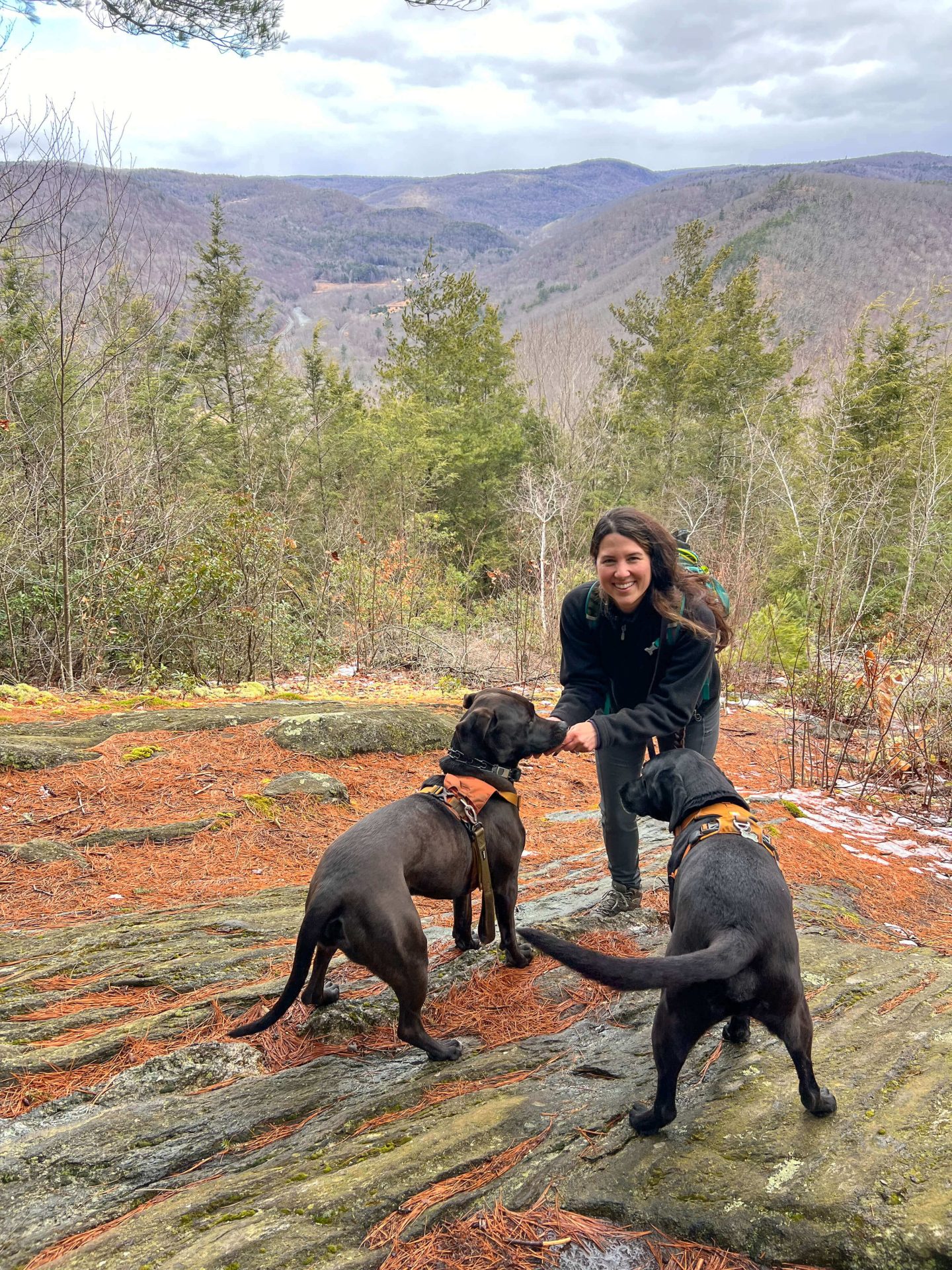
0.7 – 1.0 miles: Staying left on the blue, you are heading toward the view which will be at about the mile mark.
We got to the view at 12:30, a little over a half hour from when we started. I loved the western-facing view here of the valley below where you can just make out the Westfield River!
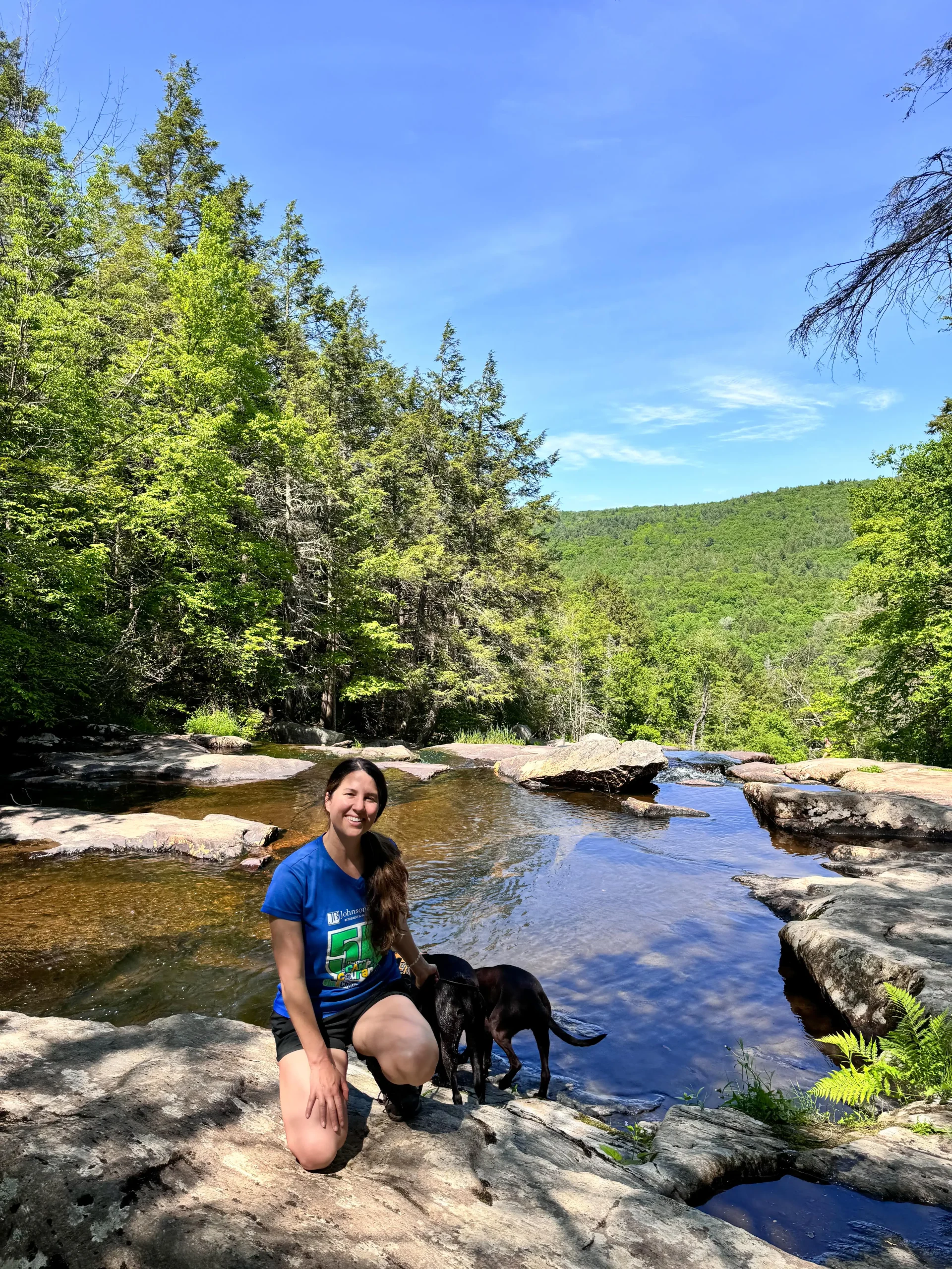
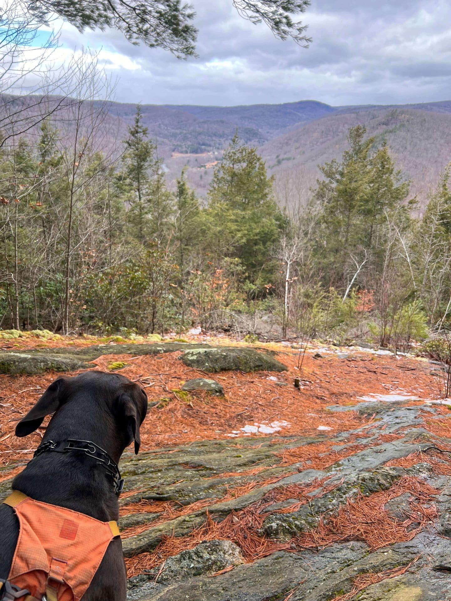 Bruin loved it!
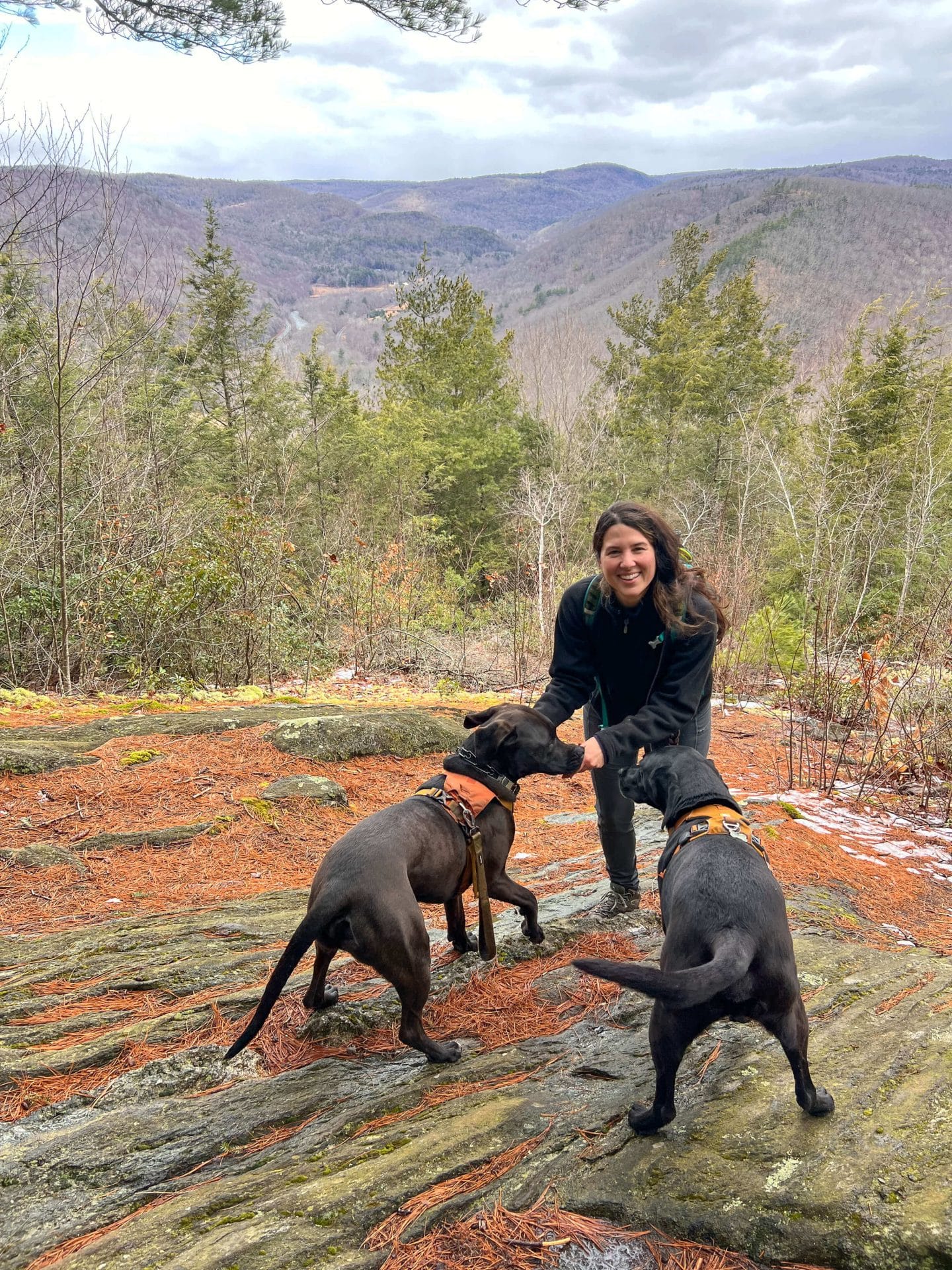 Bruin & Captain & I 💚
1.0 – 1.7 miles: Continuing past the view, stay straight on the blue. (You’ll see another trail on the right, don’t take that 😊 Just stay straight!)
You’ll come to a gravel road section known as Mica Mine Road.
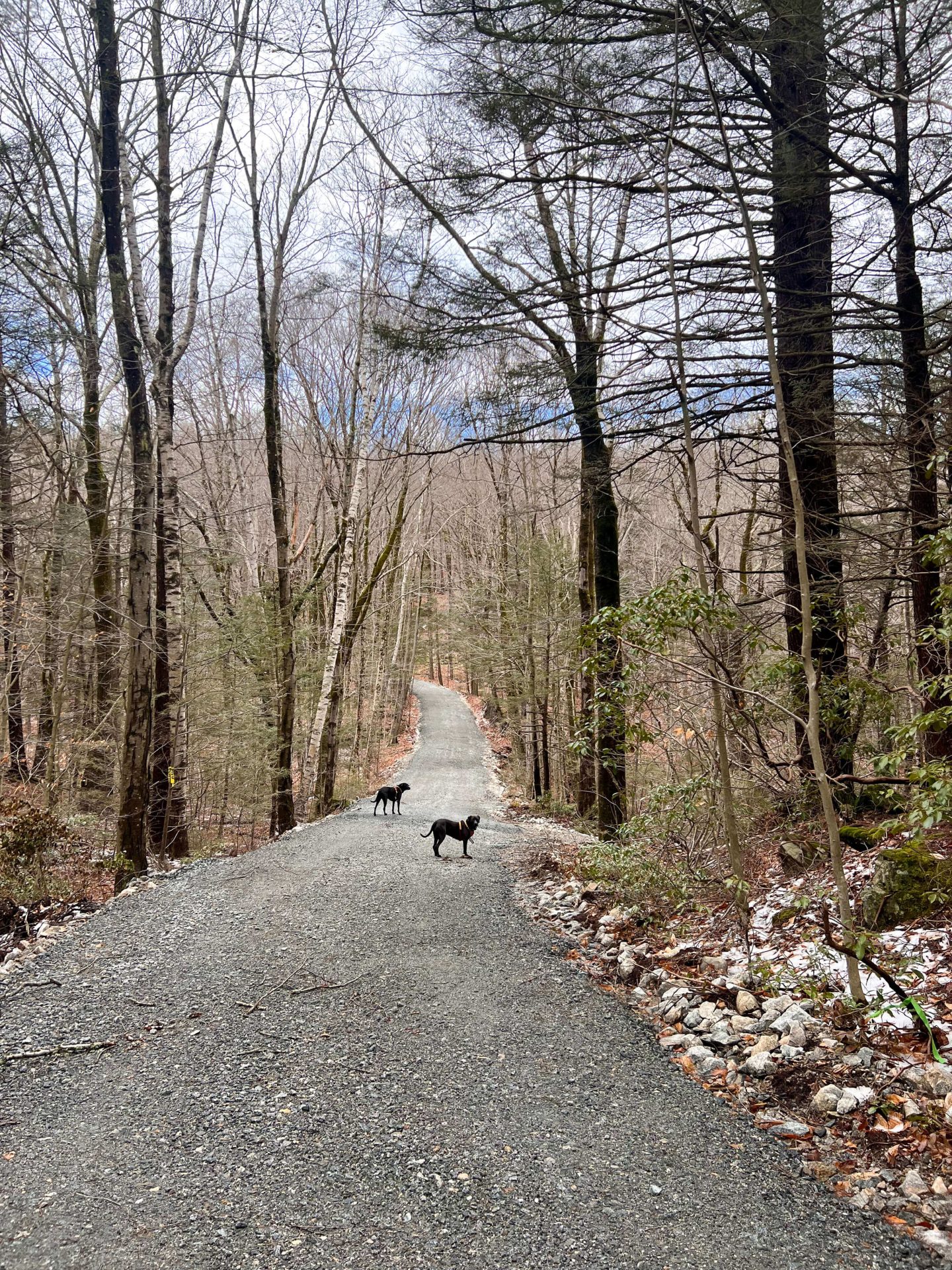
I don’t think this is a road people drive on, it’s just an access road. I believe there are mica mines that can be accessed somewhere along this road! My Google search turned up a few interesting articles and photos if you want to search for yourself. 🙂 🕵🏻♀️
1.7 – 2.4 miles: At the 1.7-mile mark, this gravel road gets a little steep! This is the last push of elevation.
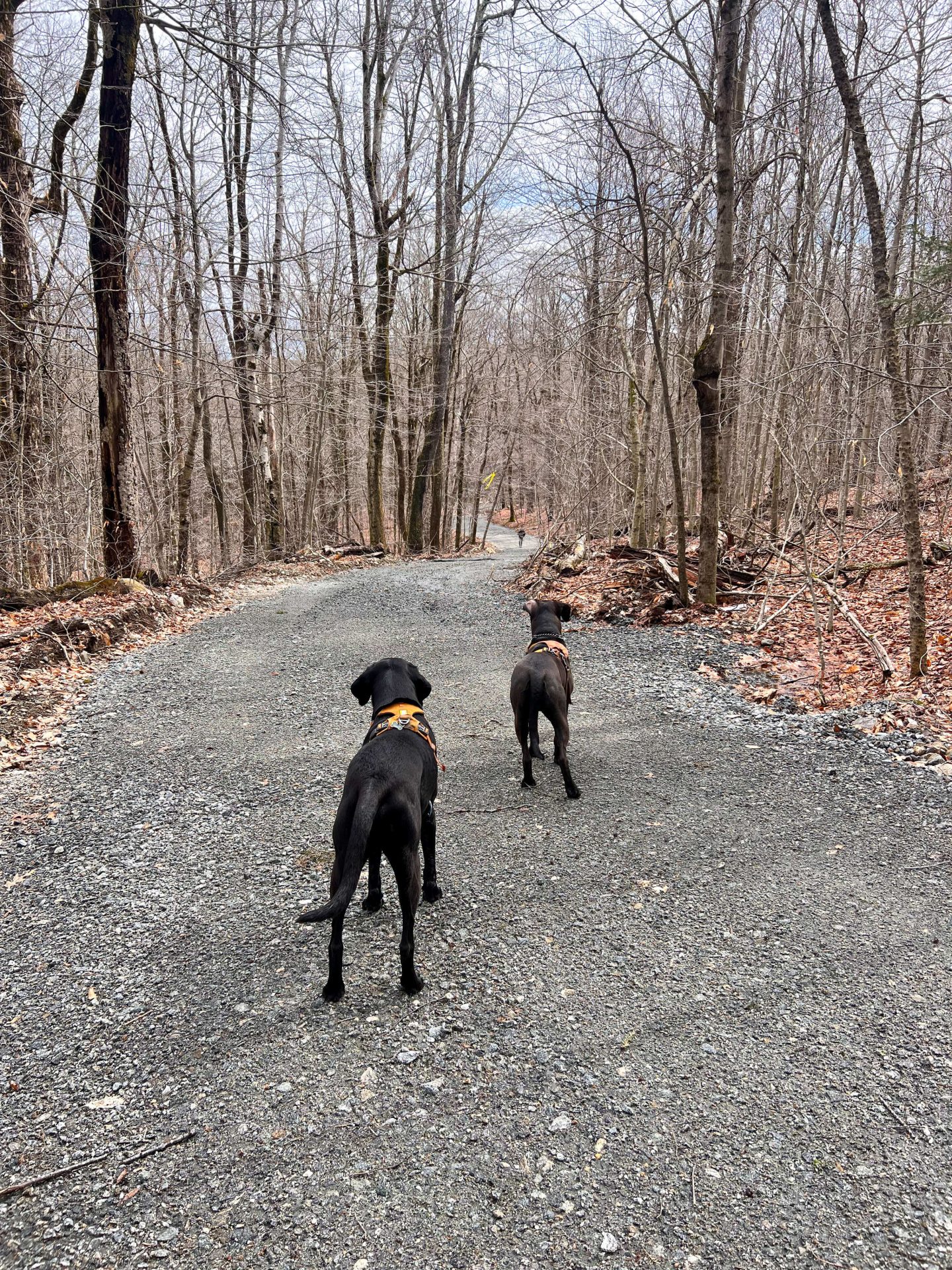
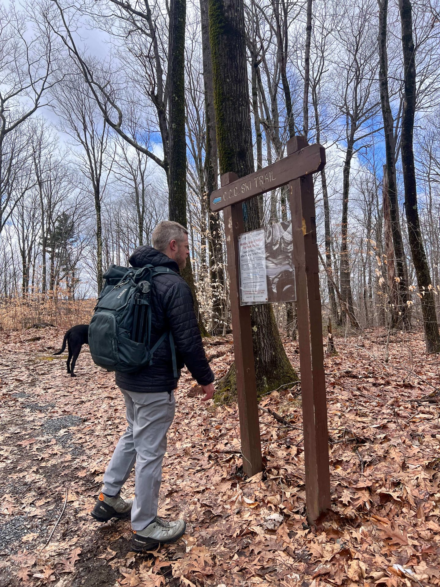
At the 2.4-mile mark, there is a juncture and trail sign. You want to bear right on the blue C.C.C ski trail instead of continuing straight on the gravel path.
2.4 – 3 miles: I loved this section of the trail. In March without the leaves on the trees, you see a nice outline of other hills in the distance.
3.0 – 4.1 miles: At the 3-mile mark you’ll pop out to another gravel access road. You want to walk straight across the road here and head back into the forest.
You’ll know you’re in the right spot when you see this stone fireplace on your right!
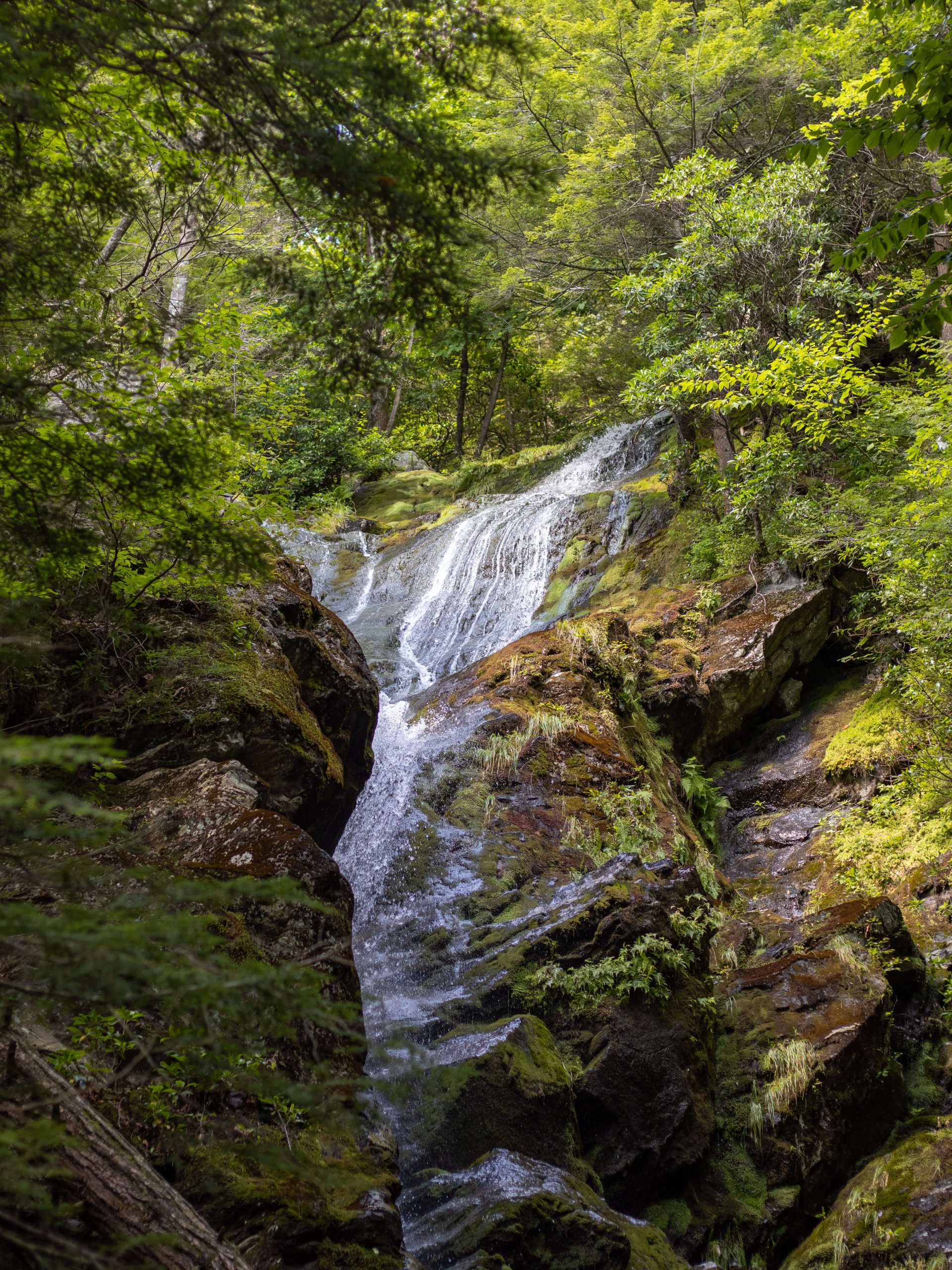
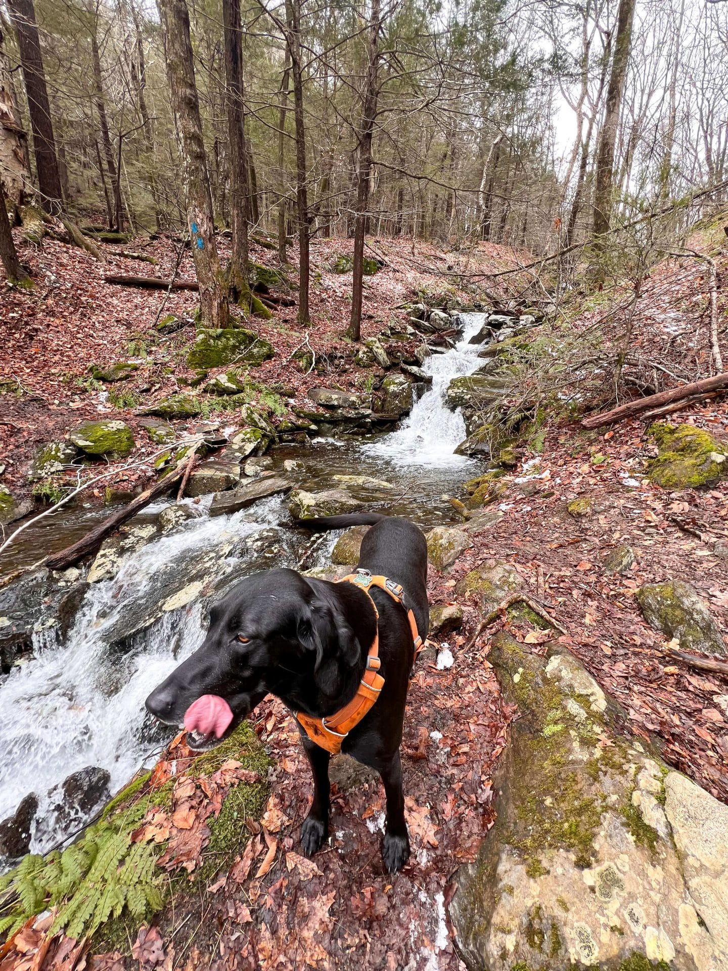
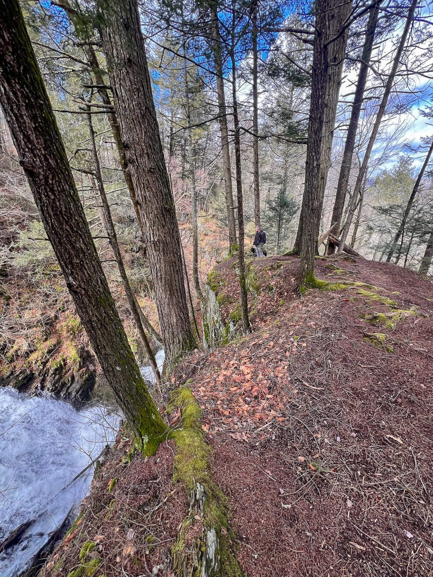
I loved this last section of the trail. You start to walk all along Sanderson Brook. The trail hugs and gets close to the roaring (well, roaring in March!) brook and you feel like you’re in an enchanted forest!
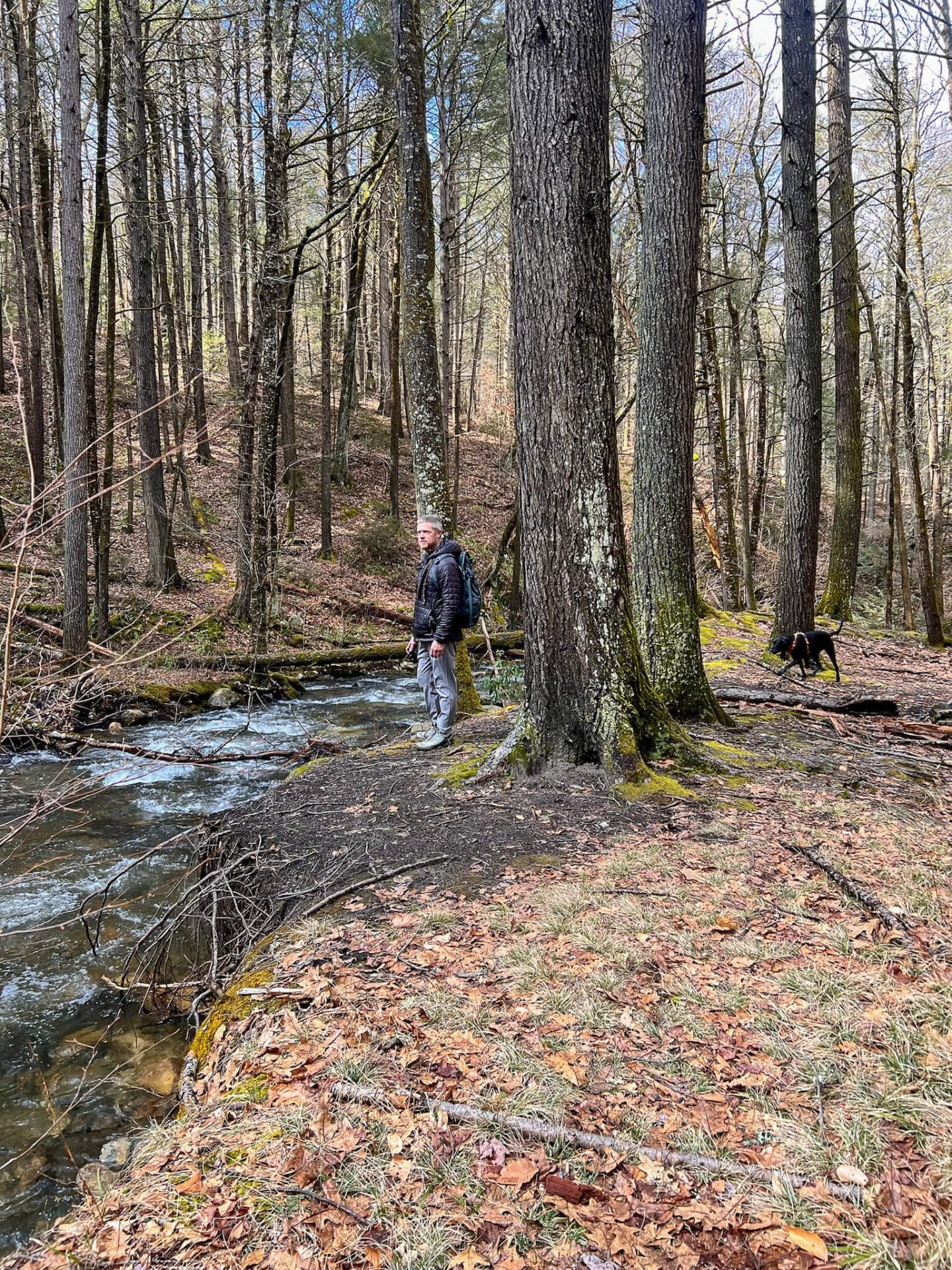
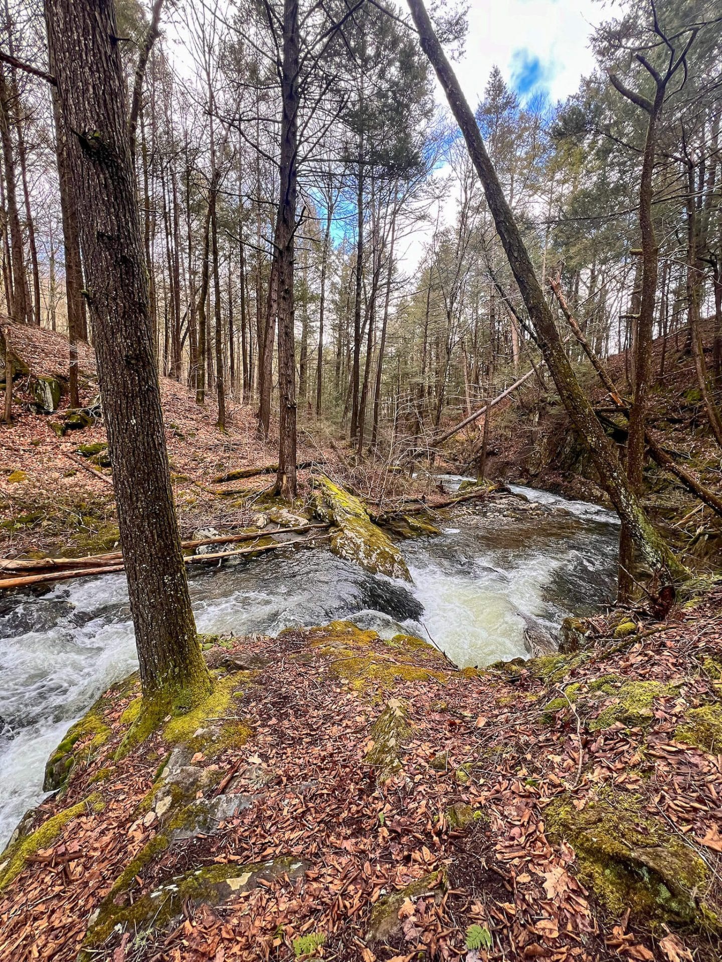
There is a little section that takes you up along a ridge with the gorge and brook below. We made sure to leash the dogs for this section. No fooling around over here!
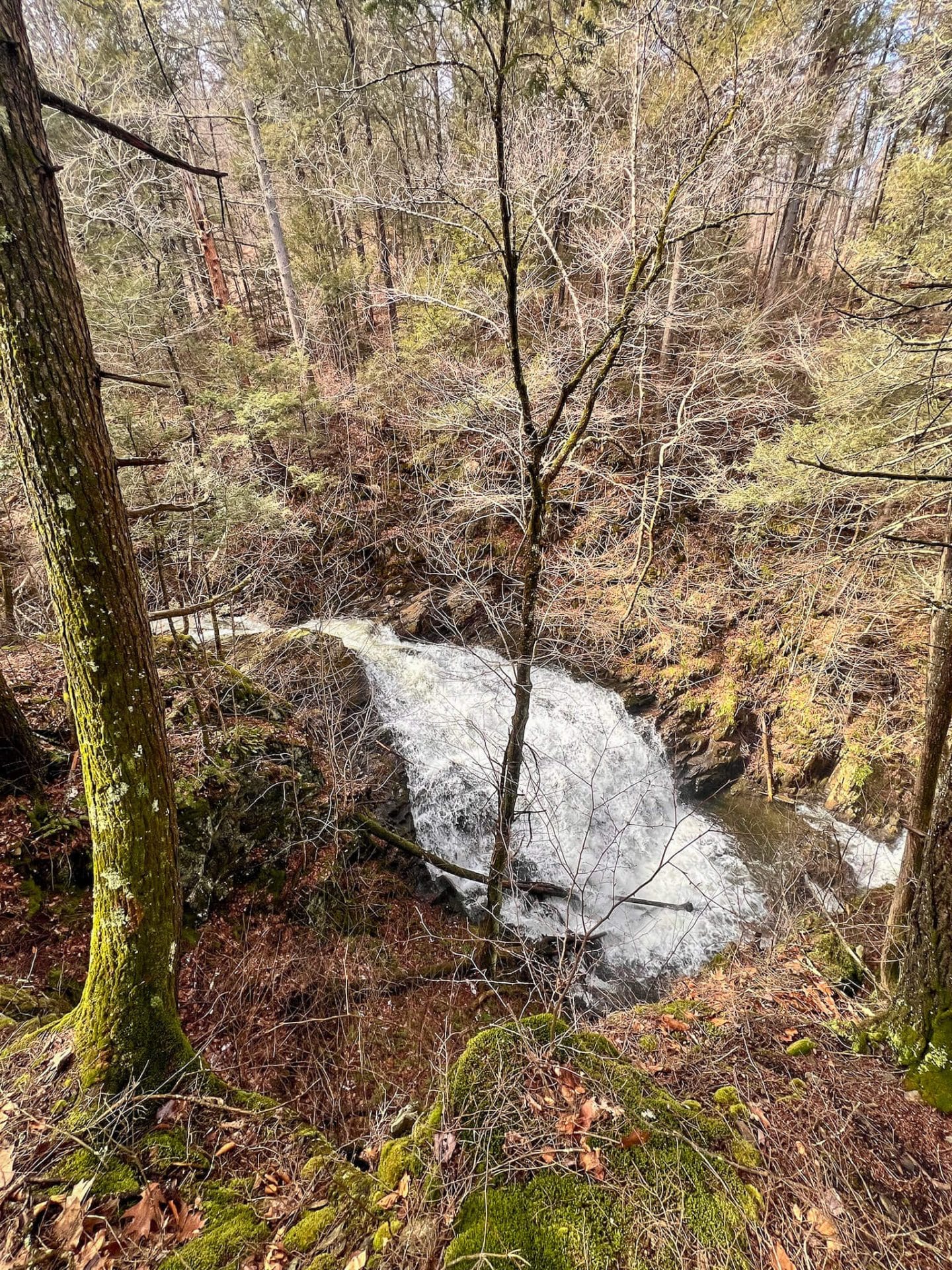
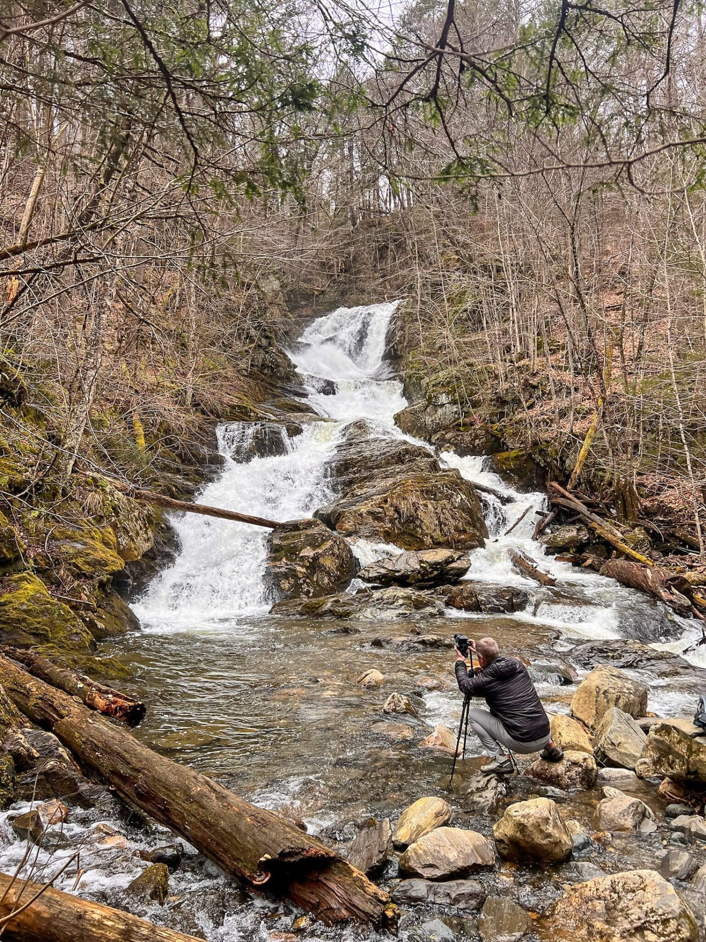
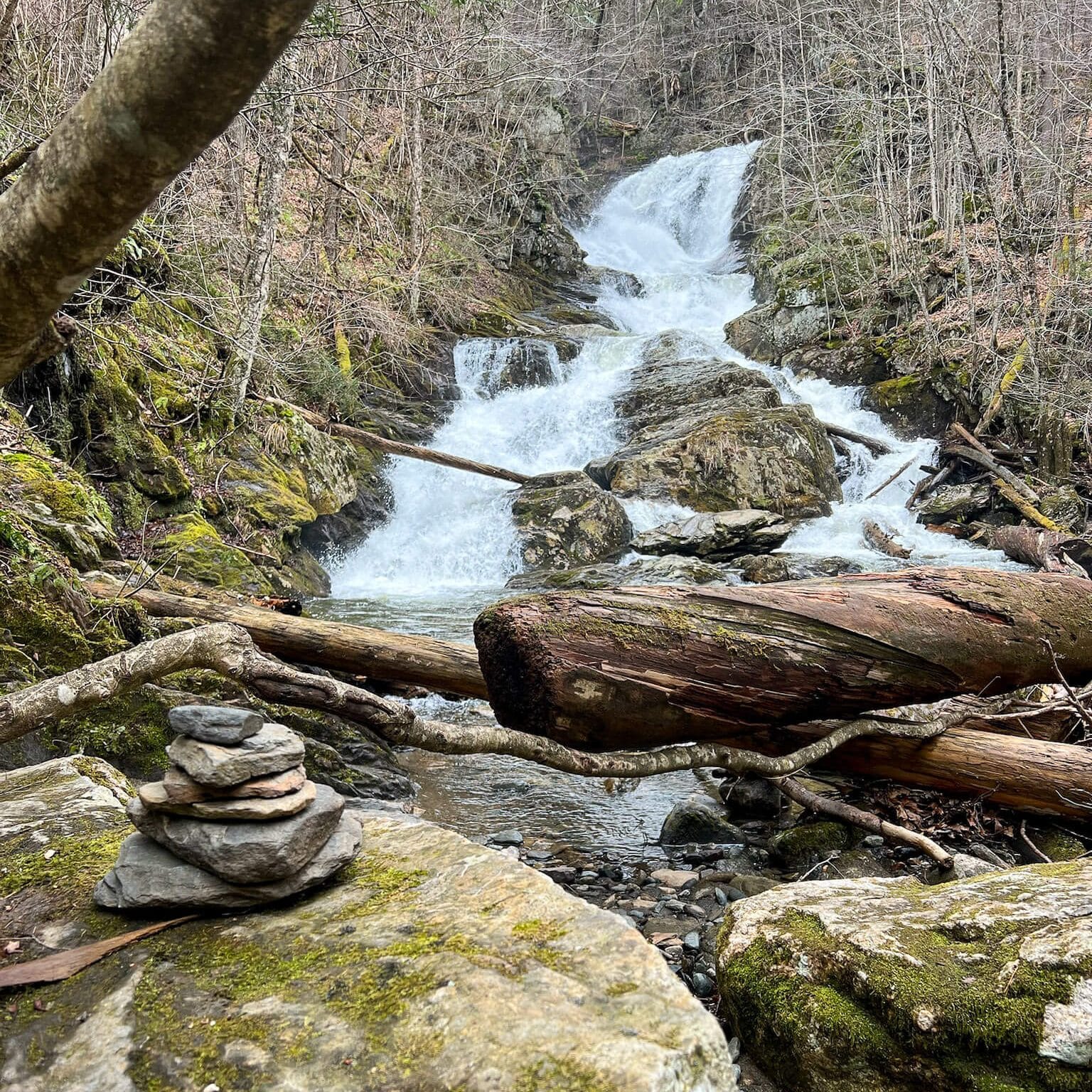
And as if the views, streams, and walk along the brook and gorge weren’t enough – you’ll finally come to Sanderson Brook Falls. This 60-foot-tall waterfall splashes down in sections making it fun to watch.
We arrived at the waterfall at 2:06, a little more than two hours into our hike.
4.1 – 4.4 miles: Just before you join back up with the gravel path that you walked on at the start, you’ll see these two bridges with grates you have to walk over.
The last time I was here Captain and a friend of mine’s puppy had a hard time walking across! Captain did better this time and went ahead (though slowly) all on his own. Bruin who’s just one, needed a little coaxing. 🙂
I was so happy to see that someone put two planks with paw prints 🐾 🐾 across the second bridge! Making it easier for the dogs to cross. :)))
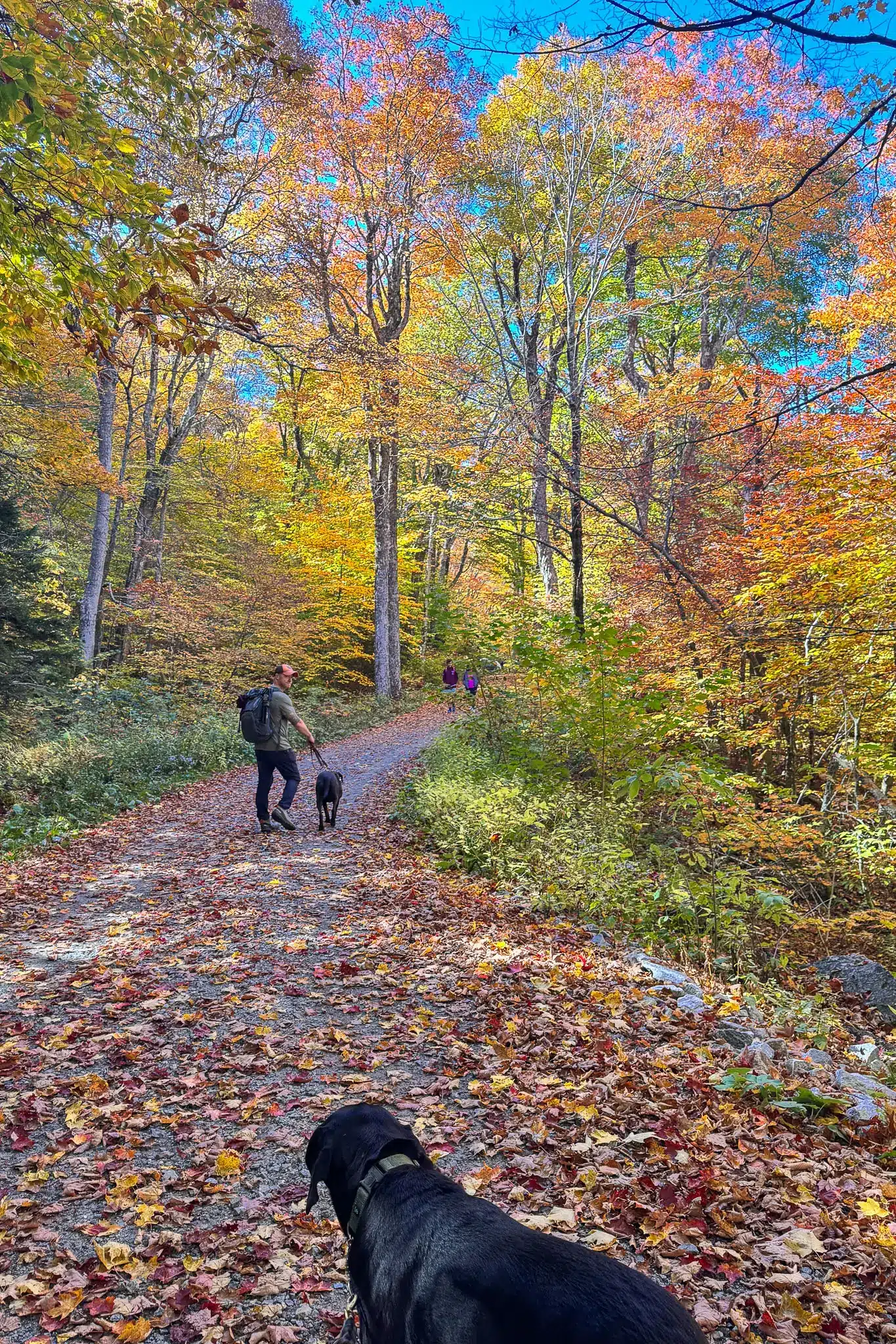
Back at the car, I hope you enjoy this hike as much as I did! I love love this trail and would like to come back in the fall to see the waterfall surrounded by golden leaves.
Be sure to bookmark or save this Sanderson Falls Loop trail guide and comment below if you go! 📌
Looking for more hikes in western Massachusetts?! Check out all my favorites in my post of 13 Best Hikes in the Berkshires! 👏🌟