Hike Mount Greylock: 4 Distinct Routes up MA’s Tallest Mountain!
You really can’t miss it up there. Just a touch taller than its brothers and sisters that make up the Berkshires in Western Massachusetts, Mount Greylock stands as the grandest peak in Sox Nation at about 3,500 feet above Boston Harbor.
Whether you’re an avid hiker looking for a challenge or if you want to drive up, read on for 3 hikes and one drive to the top of Mount Greylock, Massachusett’s tallest mountain.
This guide to hiking Greylock lays out the details & differences of each route.
Read on to discover the different ways to summit Mount Greylock, whether winter, spring, summer, or fall!
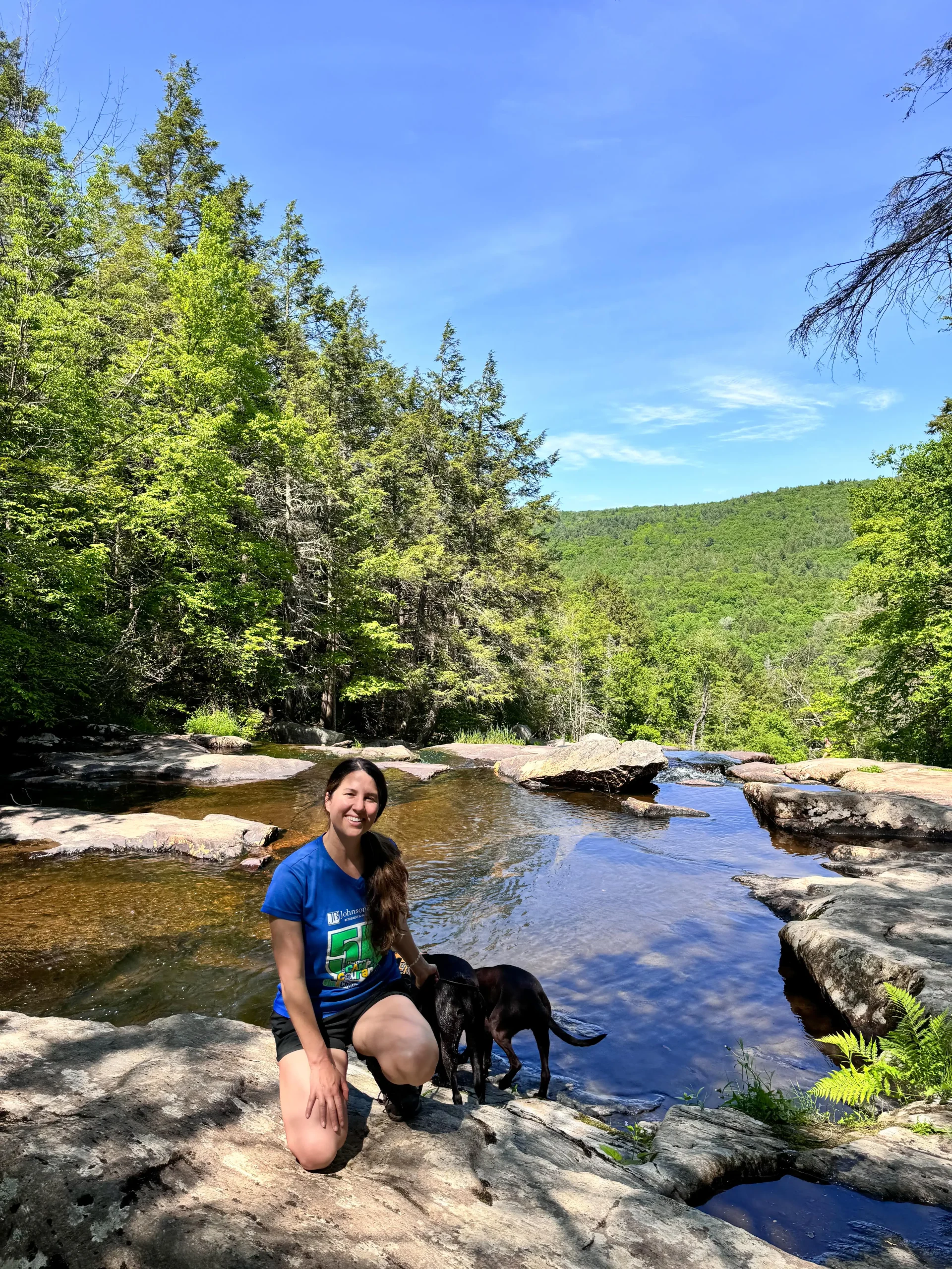
I lived in the Berkshires for a few years and now just over the line in Connecticut, Greylock is a fun full-day adventure and I’ve hiked it in every season.
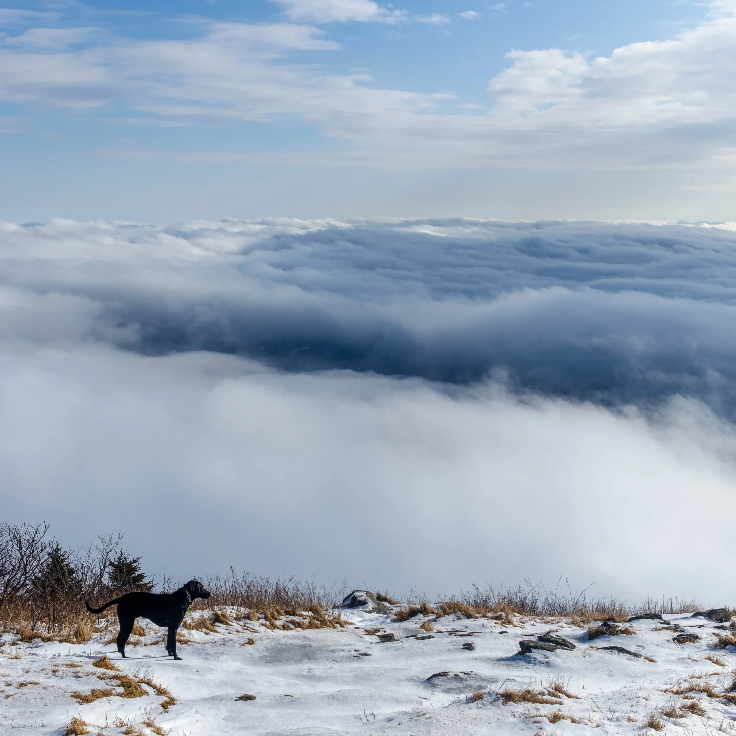
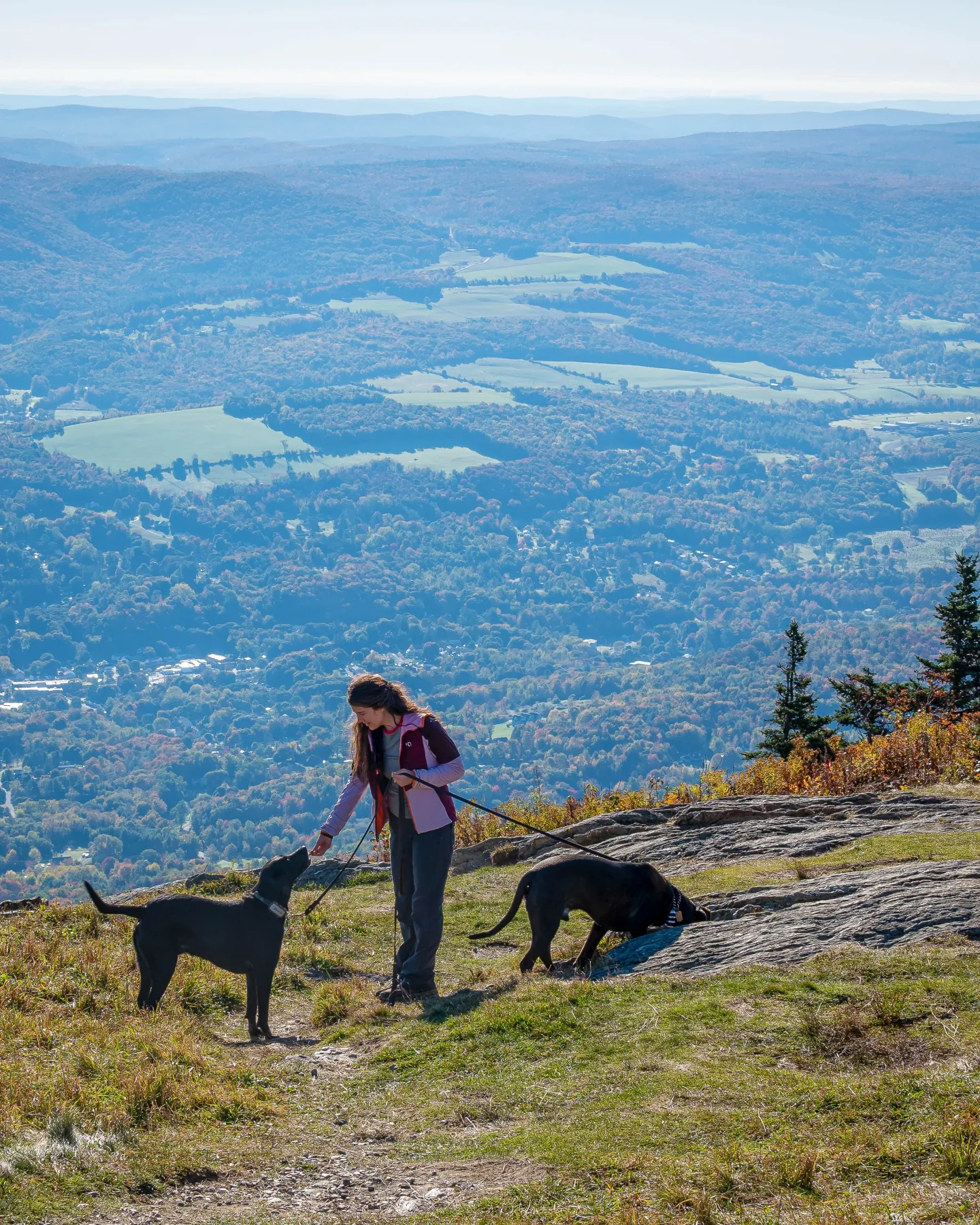
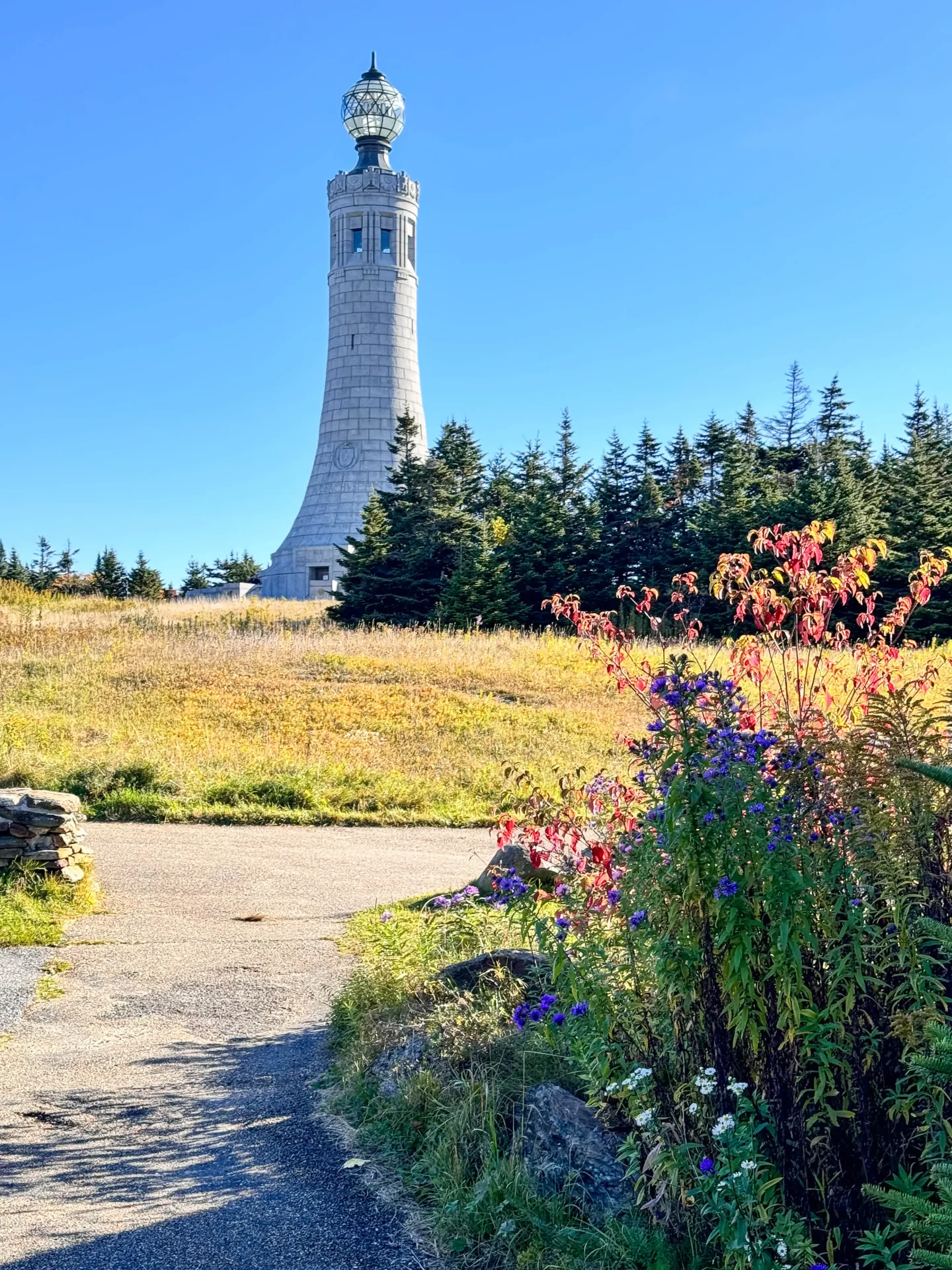
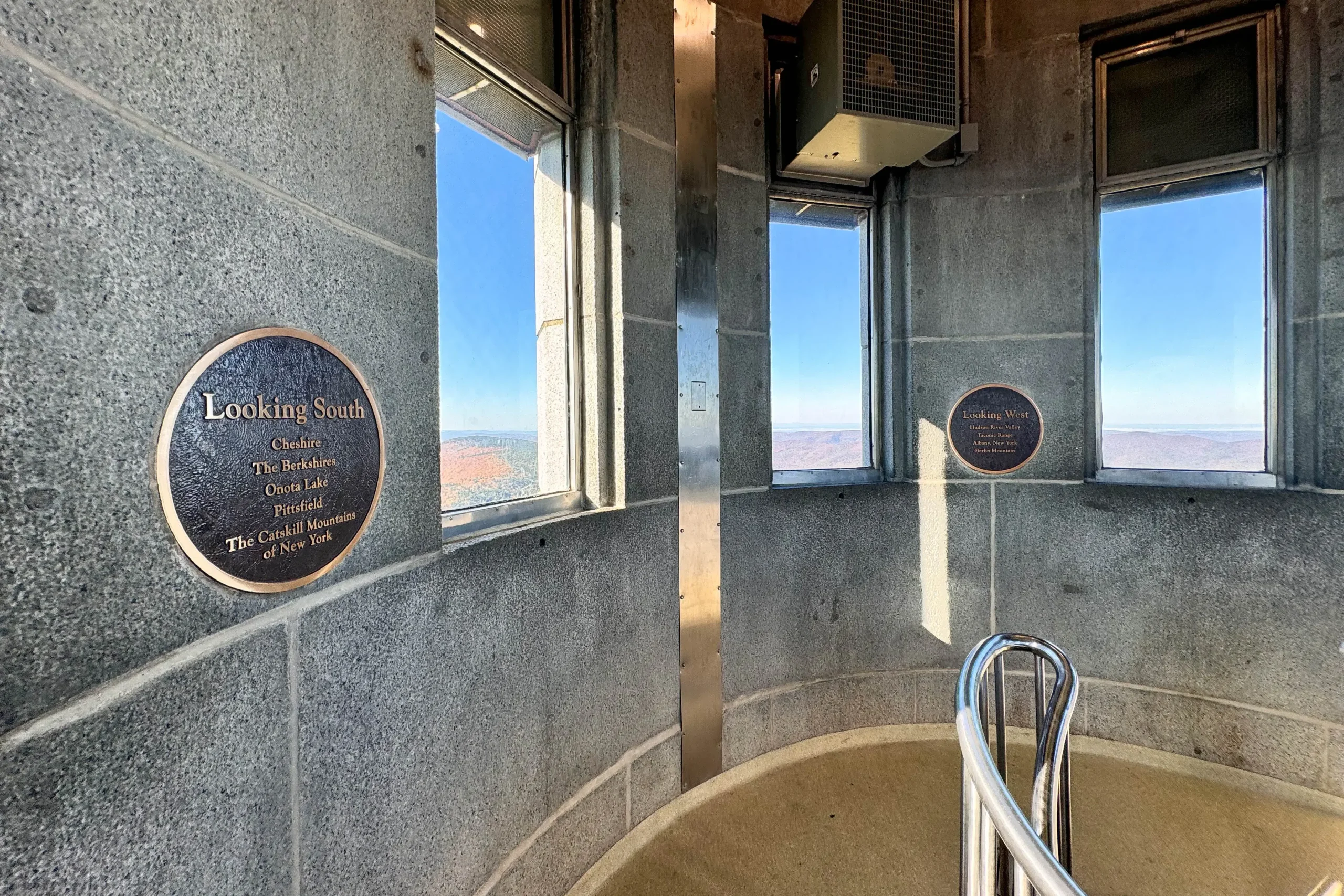
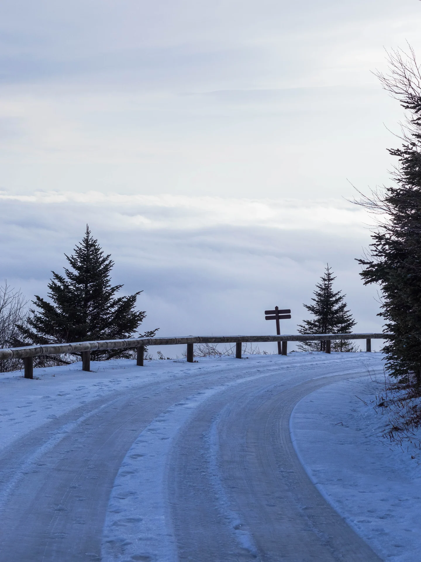
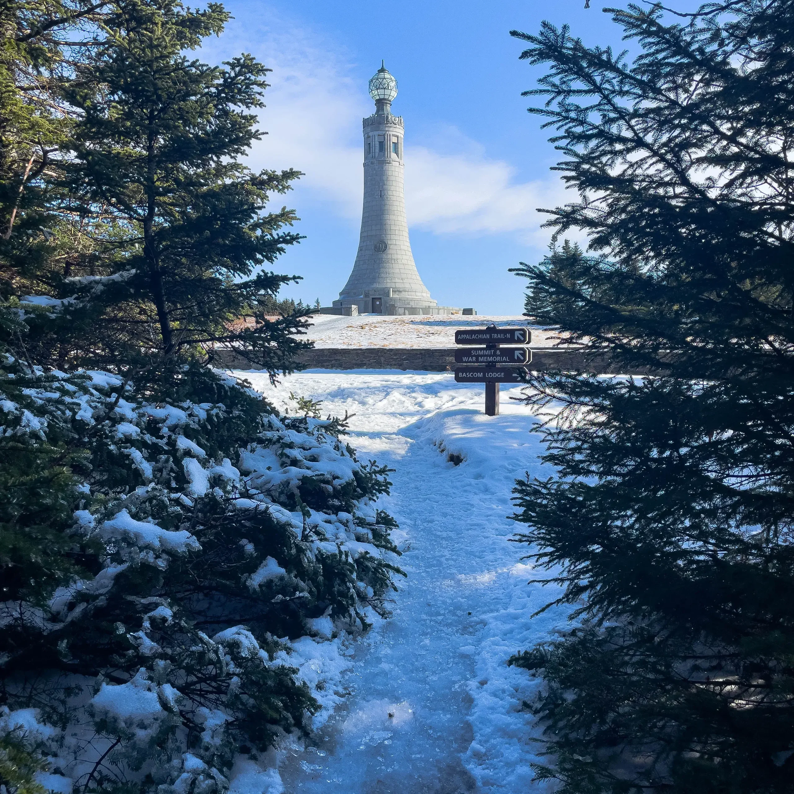
The summit, periodically enveloped in eclipsing shadow by the Veteran’s War Memorial Tower, offers vertigo-inducing panoramic views across the undulated hills, rivers, lakes and valleys of five different States on a clear day.
While there’s a vast network of hiking routes that can get you to the top of Mount Greylock, we explore three of these popular routes: Sperry Road and the Hopper Trail, the Bellows Pipe Trail, and the Gould Trail.
Summer, Fall & Winter Routes up Greylock:
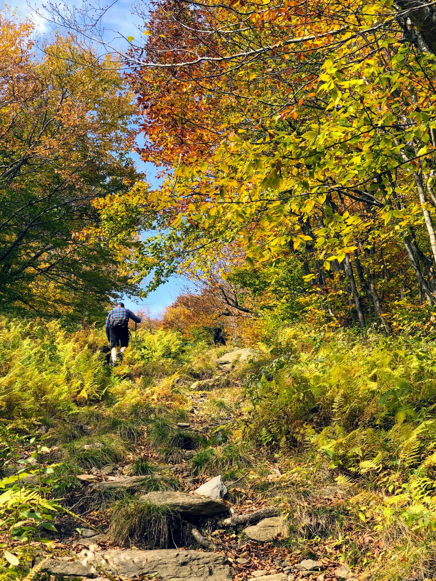
1. Mount Greylock via Sperry Road and the Hopper Trail 🥾
☀️🍁Summer & fall only. Road to trail is closed November – Mid May, so if hiking Greylock in the winter choose one of the other trails on this list! ⛰
- Miles: 4.7 miles
- Elevation: 1,092 ft elevation gain
- Level: Moderate
- Trail Type: Loop 🔁
- Average Time: 3-4 hours (if you like stopping & take pics 📸😍)
- Parking: Navigate here: 42.62444, -73.19044 small parking lot that fills later in day on weekends!
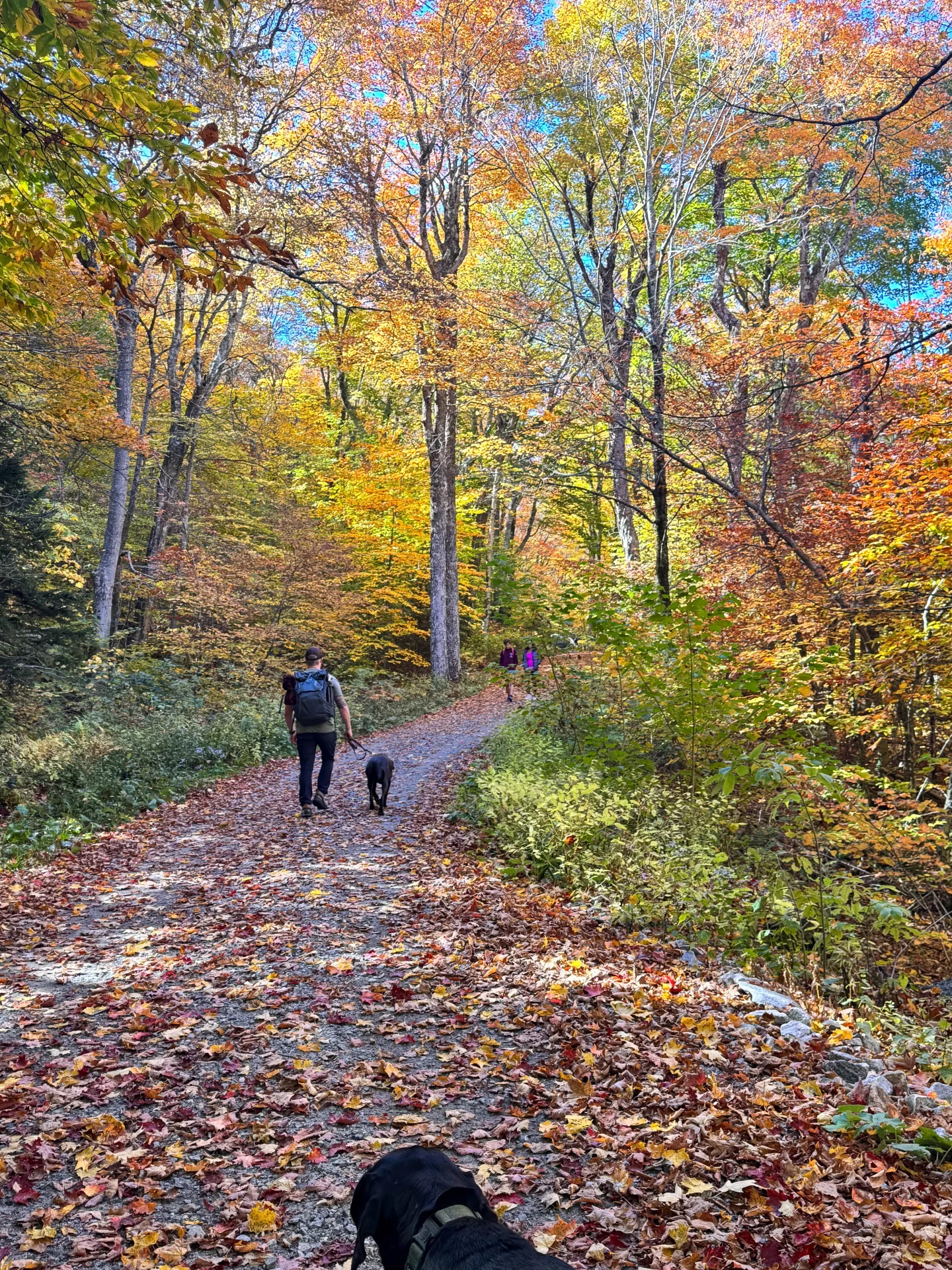
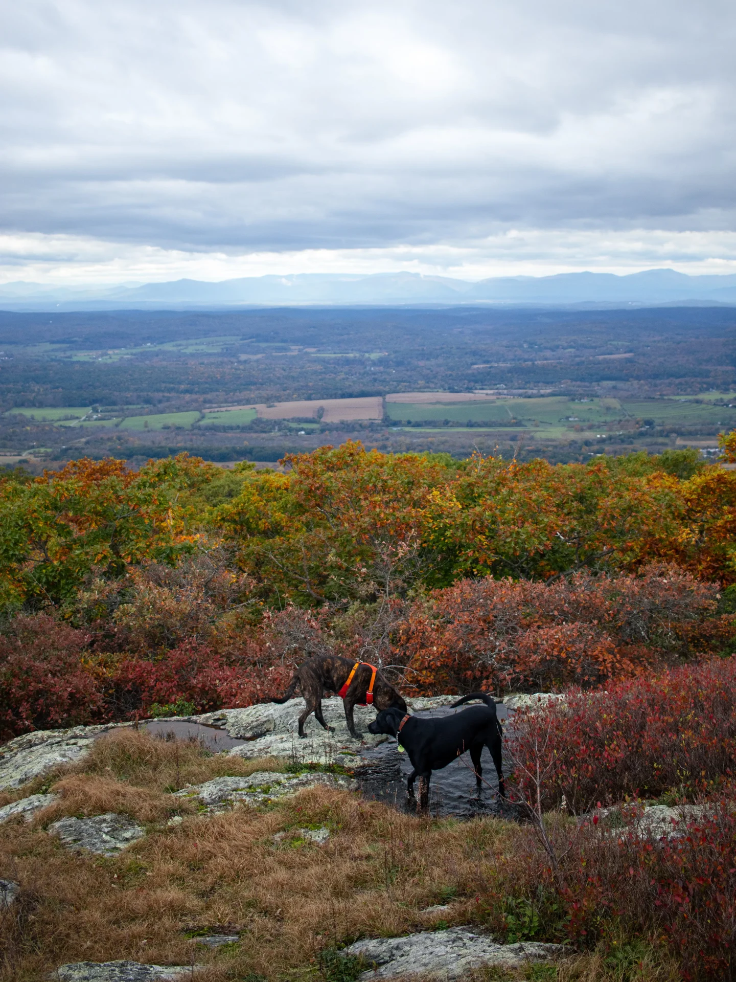
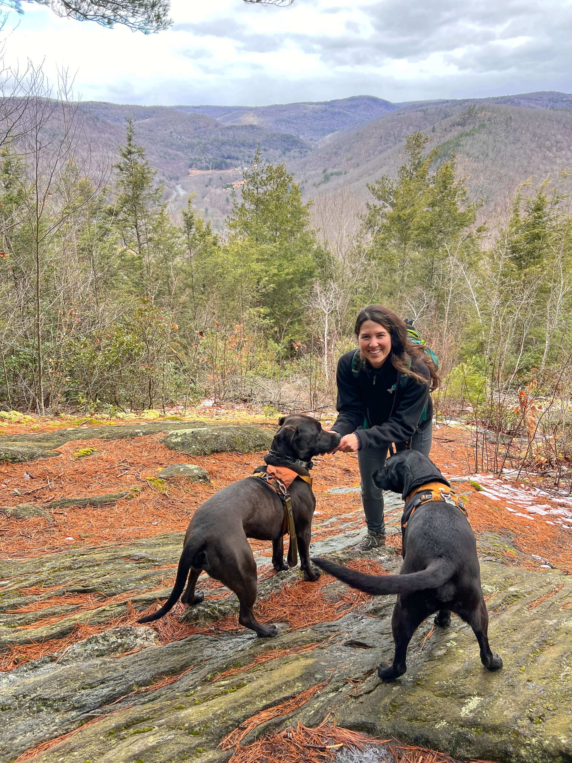
- Dog-friendly: Yes
- Trail Highlights: moderate hike up Greylock with views on the way up
- Helpful AllTrails Review: “So glad we chose this loop, it was the perfect length for us. This hike was easier than described by other hikers. I didn’t find it to steep but we went hopper up and outlook down. The secret pond on hopper was our favorite part.”
For those seeking a classic, peaceful and scenic ascent, the combination of Sperry Road and the Hopper Trail serves up a thoroughly enjoyable journey through Greylock’s lush and colorful western slopes.
For this relatively moderate yet rewarding climb, you’ll find the trailhead and parking at the Sperry Road Campground.
The Hopper Trail begins just off the campground, quickly ushering visiting adventurers into the serene Hopper Brook Valley.
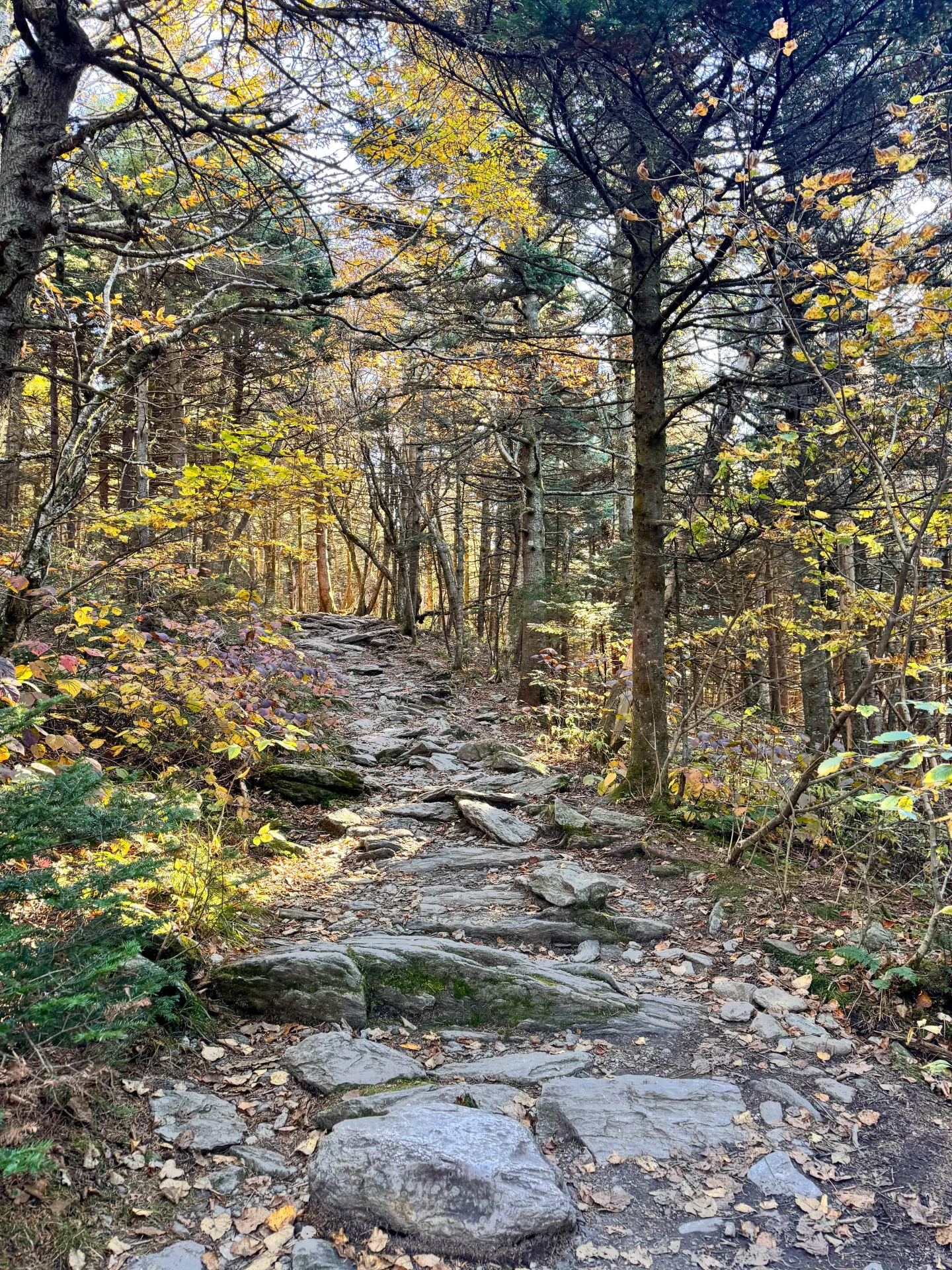
This perfect little loop trail is surrounded by rich, lively forests consisting of a wide variety of trees, plants, and wildlife. You’ll enjoy a steady (but not too difficult) ascent through a serene, unblemished New England wilderness.
This route is especially tranquil, as it’s less trafficked compared to the more popular routes that feature the Appalachian Trail.
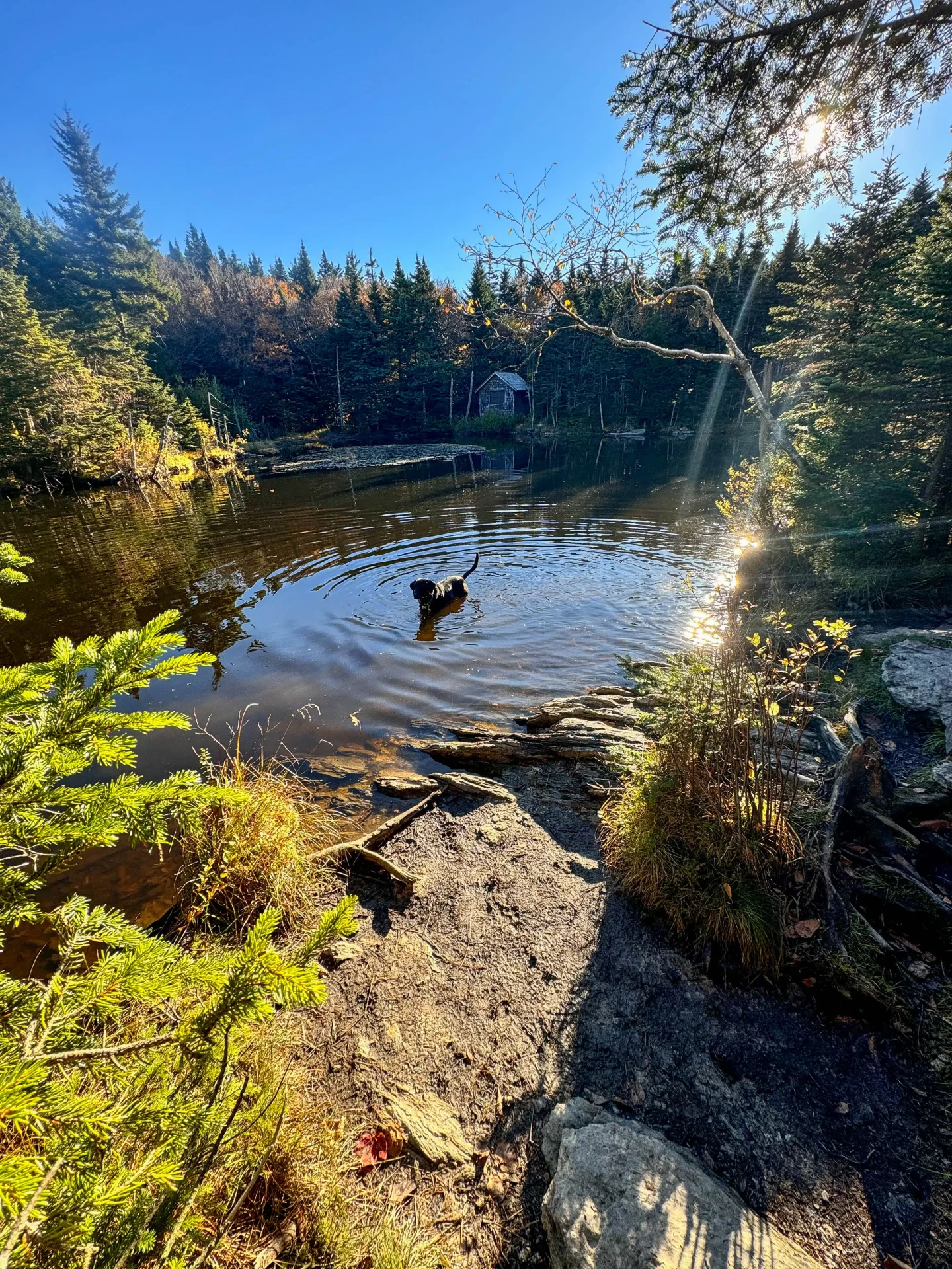
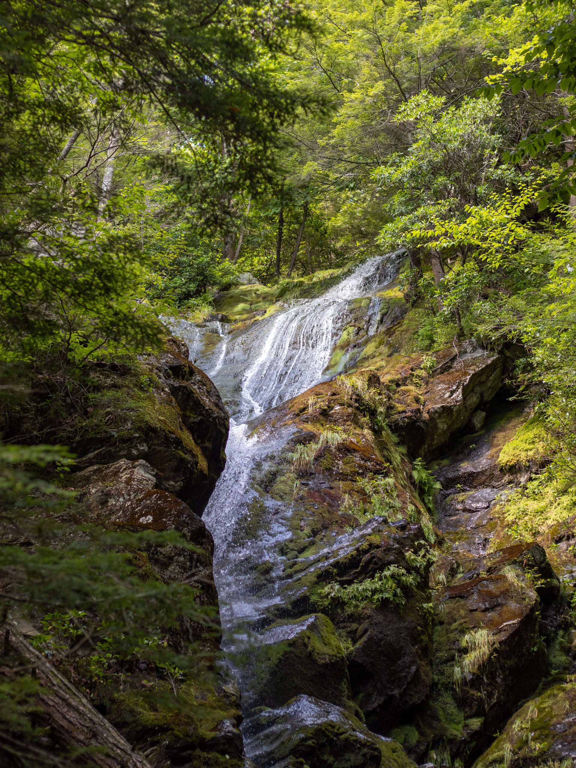
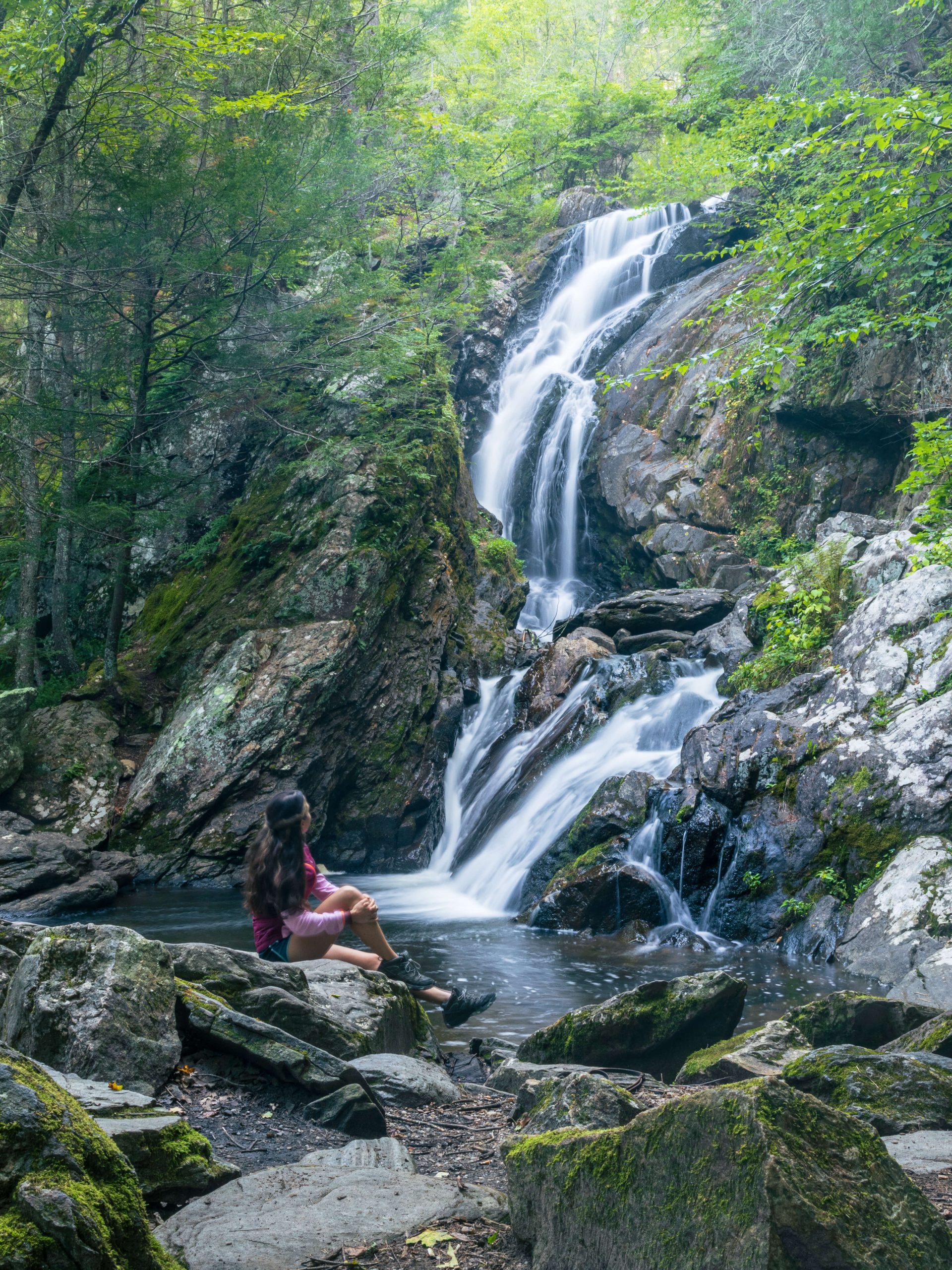
As you gain some elevation, at just around the 1 mile mark, you’ll come across the trail’s distinct highlight—a scenic, bubbling waterfall about halfway to Greylock’s summit.
The waterfall, tumbling effortlessly through mossy rocks and shaded by the lush forest canopy, affords a weary climber a perfect spot for a little water and snack break.
After a little recharge, and with the sounds of the waterfall receding behind you, the terrain becomes rockier and steeper, getting a bit more challenging as you push onward towards the summit. This section of the route is aptly called the Overlook Trail, and showcases gorgeous westerly views along the way.
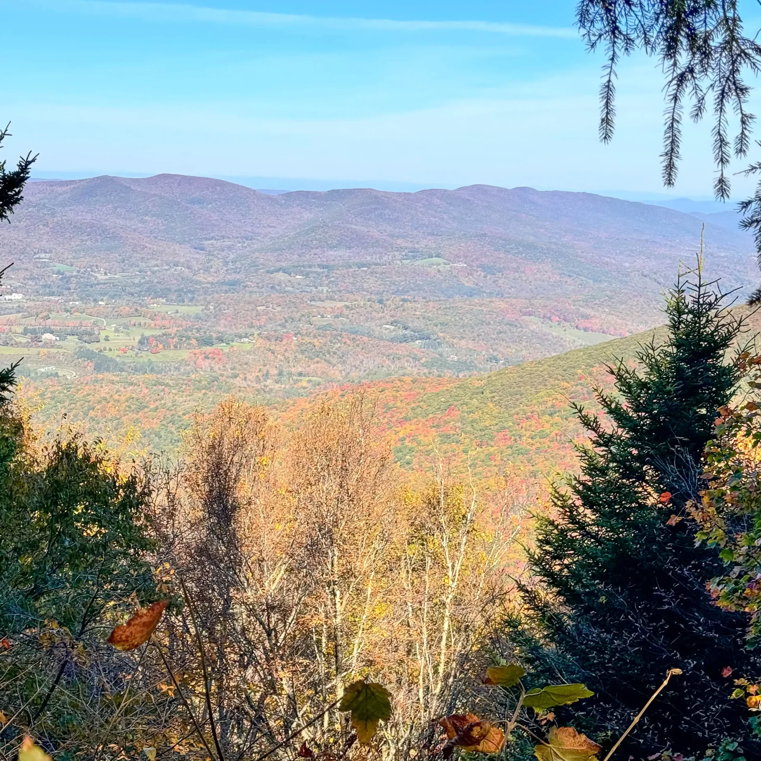
The last scrambling chunk of the climb leads to Mount Greylock’s summit, where the iconic Veterans War Memorial Tower awaits, along with breathtaking panoramic views that stretch across the Northeastern United States.
Overall, this route provides an excellent balance of moderate hiking, scenic forested landscapes, and stunning views from the summit—perfect for nature lovers and those seeking a quieter yet gratifying ascent.
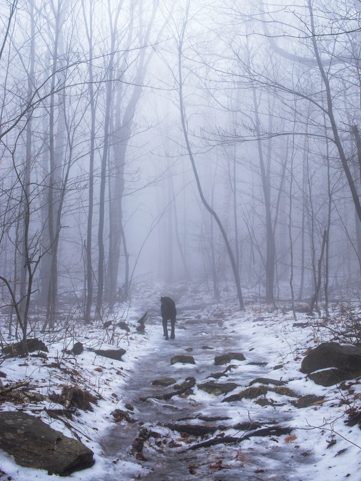
2. Mount Greylock via the Bellows Pipe Trail
❄️🍂 Open year-round! Great for any season, just steep. 🙂 (See 3rd option for a less steep winter option)
- Miles: 5.9 miles
- Elevation: 2,244 ft elevation gain
- Level: Hard
- Trail Type: Out & back
- Average Time: 5 hours
- Parking: Navigate here: 42.62714, -73.14522 Medium sized lot
- Dog-friendly: Yes
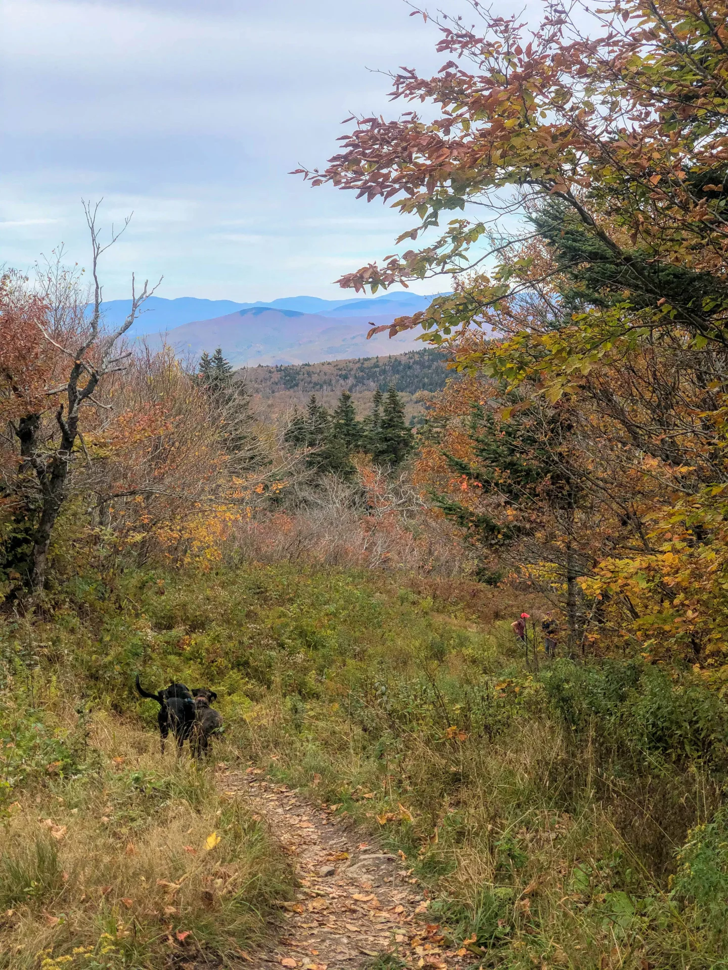
- Trail Highlights: As you make your way up Bellow’s Pipe trail there are views all at your back, steep ascent but gorgeous if you turn around and take breaks! Not crowded.
- Helpful AllTrails Review: “This is a nice hike good trail easily marked to follow with plenty of signs. I will say the last 1 mile is literally VERY DIFFICULT nearly straight up with not much switchbacks makes the hike.”
The Bellows Pipe Trail, beginning on the eastern col of Mount Greylock, offers an adventurous, scenic, and more rugged route to the summit of Massachusetts’ topmost peak.
Beginning from the trailhead on Gould Road, the Bellows Pipe Trail winds through dense deciduous forests and climbs steadily uphill right from the get go.
Early in the hike, you’ll be greeted by the sounds of birds and the rustling of leaves, as the myriad scurrying creatures of the wild create a soothing atmosphere as you enter the true heart of the Berkshires.
If you’re looking for a solid workout, this trail is for you. It’s moderately steep in some sections and downright precipitous in others. Becoming rockier and slicker as you ascend, the views through the trees and scattered openings become equally greater.
The distinct highlight of the Bellows Pipe Trail is the crossing of the Bellows Pipe, a narrow pass between the northern and southern ridges of Mount Greylock.
This natural ancient feature creates a very cool wind tunnel effect, making for a refreshing (and sometimes legit cold!) breeze that amplifies the trail’s distinctive charm.
The pass also provides a unique look at the surrounding peaks and valleys of the Berkshires, with dramatic views of Ragged Mountain to the north and the Hoosic Valley to the east.
As you continue your climb, the trail merges with the Appalachian Trail near Greylock’s summit, offering stunning views from the Veterans War Memorial Tower. The expansive panoramic vista includes the rolling Berkshires, and on clear days, the distant and hazy mountains of New York, Vermont, and Connecticut.
For those seeking both a hardy physical challenge and an beautifully immersive natural experience, the Bellows Pipe Trail is a tried and true, fantastic route to Mount Greylock’s summit.
Alltrails: https://www.alltrails.com/trail/us/massachusetts/mount-greylock-via-bellows-pipe-trail–2
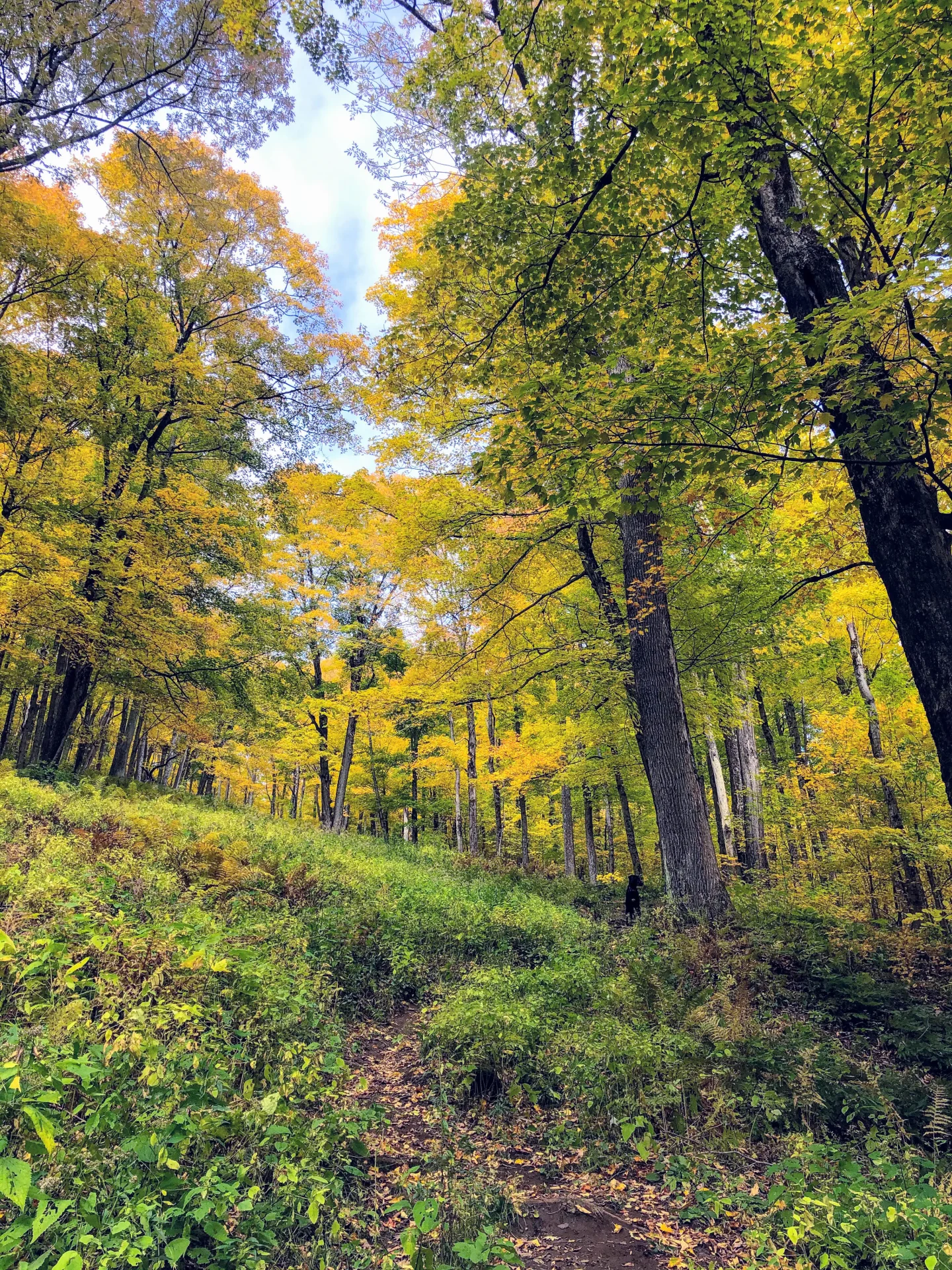
3. Mount Greylock via the Gould Trail
☀️🍁❄️Open every season. Less steep winter hike up Mount Greylock. Road to get to trail is open in winter.
If you’re visiting the Berkshires in winter and want a less steep route up Greylock than Bellows Pipe, this is the hike for you!
- Miles: 5.5 miles
- Elevation: 2,139 ft elevation gain
- Level: Hard
- Trail Type: Out & back
- Average Time: 4-5 hours
- Parking: Navigate here: 42.6189, -73.15024 Small lot on West Mountain Rd
- Dog-friendly: Yes
- Trail Highlights: Gradual climb, not too steep, great for beginner – moderate hikers
- Helpful AllTrails Review: “Loved this hike!!! It was on the more challenging side for me, but I’m also just beginning! Totally worth all the sweat and hard work. Epic views!!.”
The trailhead and parking can be found off of Gould Road in Adams, Massachusetts. This is a welcomed quieter and less-crowded path, taking hikers through the eastern slopes of Mount Greylock’s lush and vibrant forests and providing glorious views all along the way.
The Gould Trail starts with a gradual yet pleasant climb through dense hardwood forests. The quiet and peaceful surroundings, marked by venerable towering oaks and maples, offer plenty of opportunities to spot wildlife and enjoy the sounds of nature.
As you ascend, the trail becomes steeper, with rockier sections emerging as you near higher elevations. Take heed to watch your footing in this section, especially after or during a rainstorm!
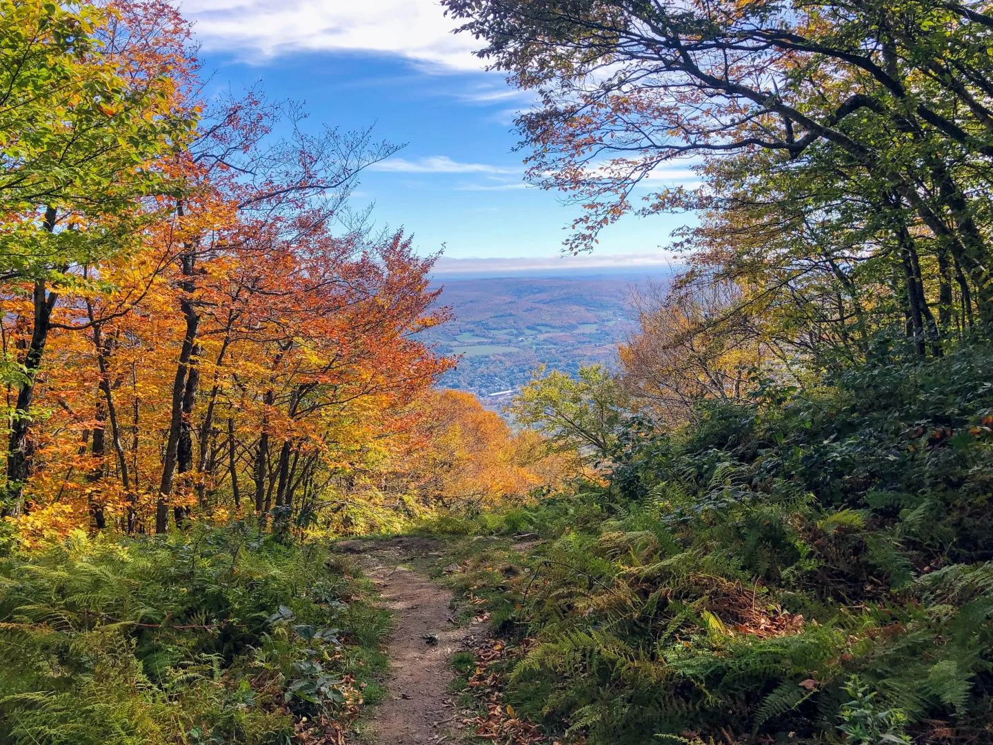
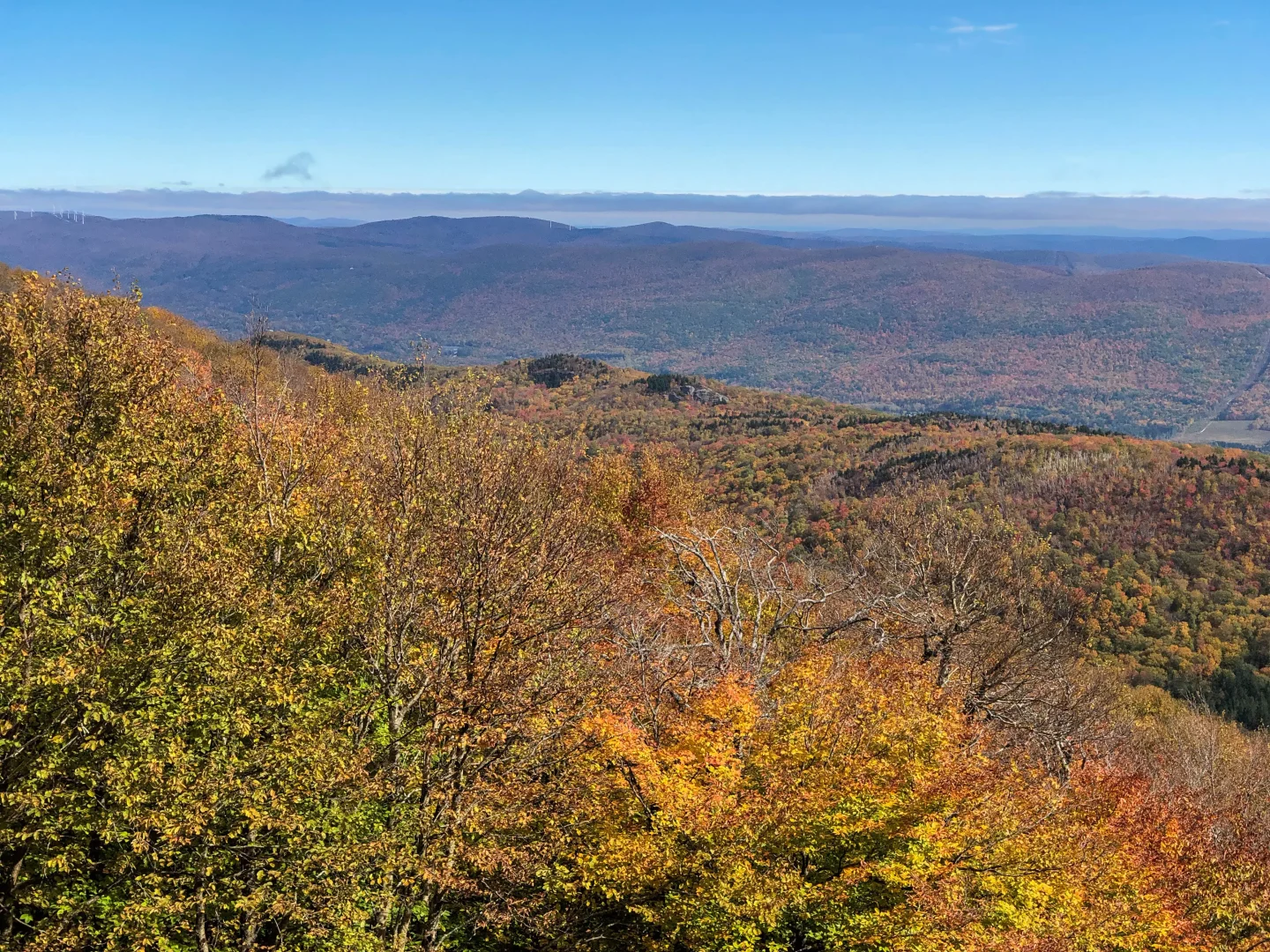
One of the distinct highlights (my favorite!) of the Gould Trail are the occasional openings in the trees that offer breathtaking vistas of the Hoosac Valley and the town of Adams far below.
These breaks in the forest canopy provide a continuous reward during your climb, offering a chance to take in the sweeping views of the Berkshires and beyond prior to achieving the main summit goal.
This may be obvious, but I’d say the absolute best time to experience these views is during the fall when the vibrant autumn New England foliage splashes the surrounding landscape in rich hues of red, orange, and yellow. This route is a photographer’s dream!
As you continue your ascent, this trail, like the Bellows Pipe Trail, connects with the Appalachian Trail, marking the final and pivotal push toward the summit.
The final leg of this route involves a steady climb through more open terrain, with expansive views emerging as you approach the peak.
Once at the summit, you’ll be greeted by the legendary Veterans War Memorial Tower, along with the iconic and overwhelming panoramic views endowed by Massachusetts’ most dominant peak.
For those seeking a well-balanced hike that combines natural, unblemished beauty with a nice little physical challenge, the Gould Trail is an excellent choice for reaching the lofty summit of Mount Greylock.
4. Drive the Scenic Byway up to Mount Greylock Summit 🚗
🌟 Open mid-May until November 1st
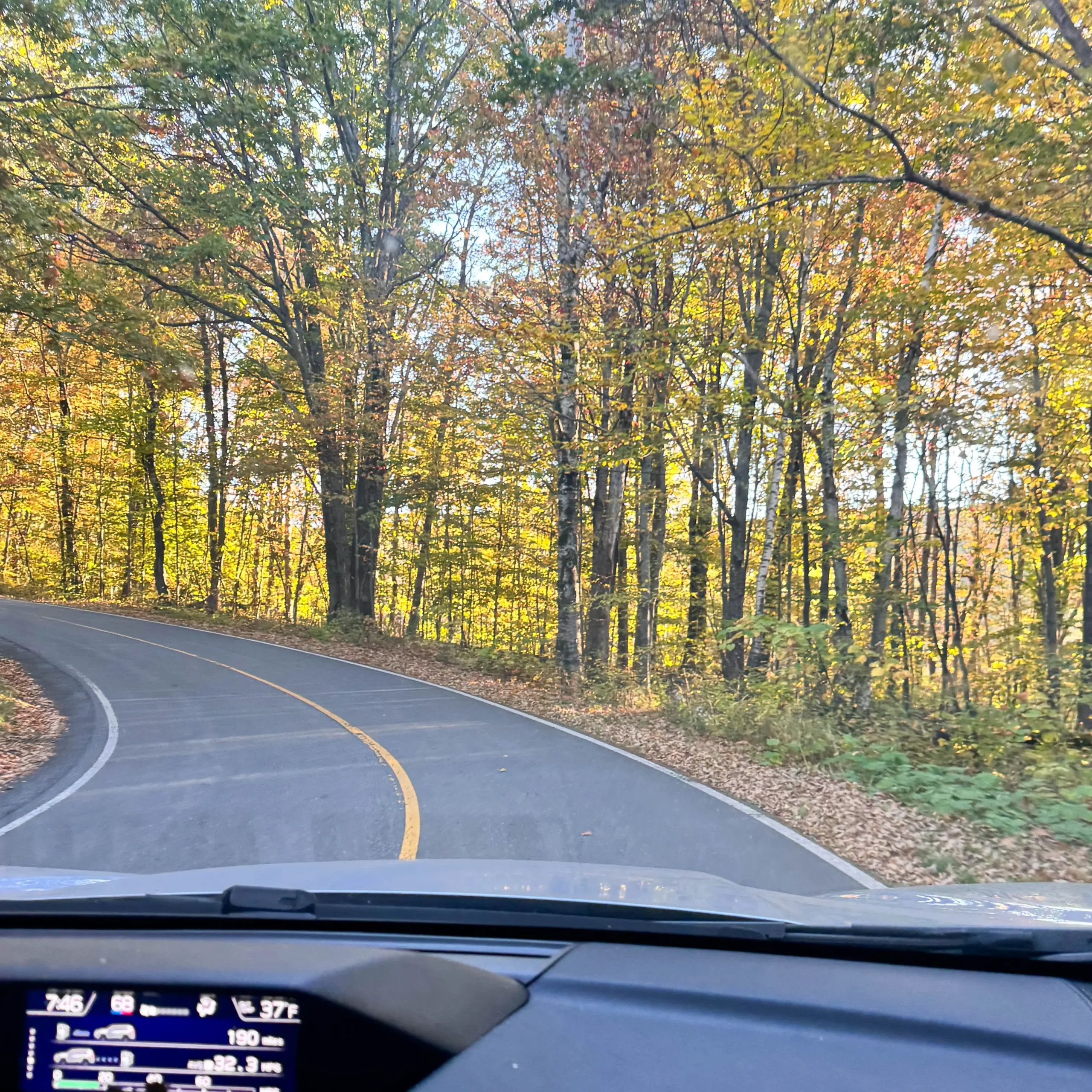
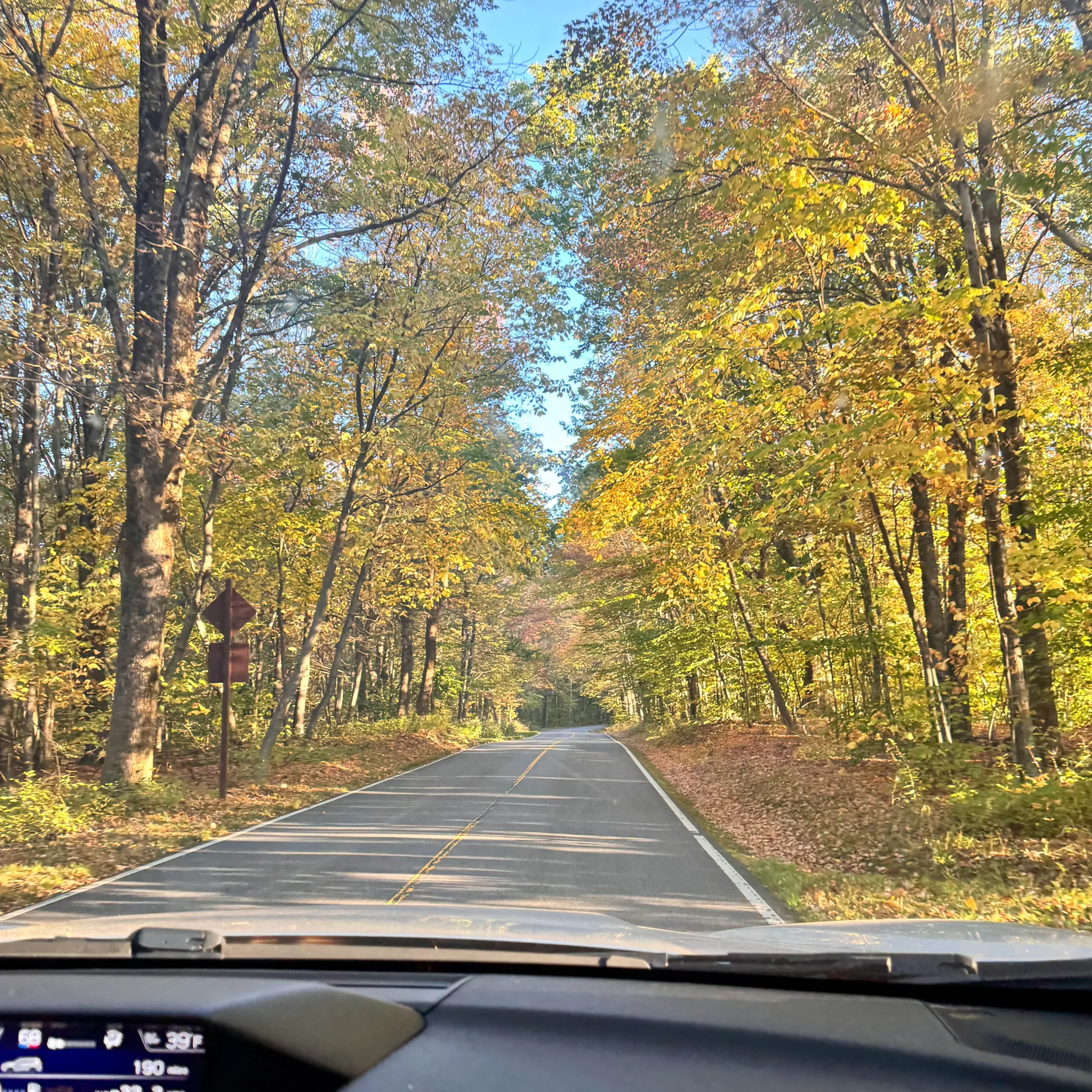
Can you believe the road to the top of Greylock is 16.3 miles long?!
Beginning in Lanesborough, the paved Scenic Byway road winds & climbs to the summit of Greylock where you can park, stretch your legs, walk around the summit and check out the Veteran’s Memorial and Bascom Lodge – all without breaking a sweat.
🚙 Start at 30 Rockwell Rd in Lanesborough at the Mount Greylock Visitor Center. The Visitor Center in Lanesborough is the main spot for information and orientation for people visiting Mount Greylock State Reservation.
Built in 1972, it sits among open fields and woods, offering amazing panoramic views of the Berkshire Hills and the Taconics. From here, you can see the Housatonic River Valley watershed. This scenic spot is open all year round. On site is also a 1.8-mile loop hike on the Bradley Farm Interpretive Trail, which goes through hardwood forests and old farmland.
For more questions about the road or conditions call (413) 499-4262 or visit Mount Greylock State Reservation site.
This concludes the 4 different ways you can hike or drive to the top of Mount Greylock!
➡️ Read on below for more information about the lodge you’ll find at the top and fun Greylock facts!
Mount Greylock War Memorial Tower: At the summit stands the Massachusetts Veterans War Memorial Tower, built in 1932 to honor Massachusetts soldiers who died in World War I. The 93-foot-tall tower symbolizes a beacon of hope and is lit up at night, visible from miles away.
Inspiration for Literature: Mount Greylock inspired author Herman Melville, who lived nearby in Pittsfield. From his home, he could see the mountain, and it is said to have influenced his writing of Moby-Dick. Melville likened the shape of the mountain to a whale rising from the sea.
Mount Greylock Hiking FAQs
The amount of time depends on which route you take! The shortest would be the 4.7 mile Sperry Rd and Hopper Trail which would take around 3 hours.
The easiest trail to hike to the top of Greylock is the Sperry Road to Hopper Trail. The elevation gain is just over 1,000 feet whereas the other two trails mentioned in the article are 2,200 feet of elevation gain making them much steeper.
Yes! Mid-May though November 1st you can drive to the 16.2 mile Scenic Byway from Lanesborough to the top of Mount Greylock.
And if you’re looking for more hike in the Berkshires check out my post…
13 Best Hikes in the Berkshires; All Levels & Amazing Views!!


Great post, Kristen! The view from the War Memorial has some of the best foliage views I’ve ever seen! It is crowded on weekends during foliage season though.
So glad you like it! :)) I know, it was my first time up in the tower. Great views but had to wait for people coming down the stairs since it’s single file only. Love Mount Greylock, always an adventure hiking up