10 Amazing Hikes in Litchfield, CT plus 4 Nearby!
Looking for hikes and the best views in Litchfield, CT?! You’re in luck! We’ve got 10 beautiful hikes right in Litchfield plus 4 bonus trails just outside of Litchfield in Litchfield County.
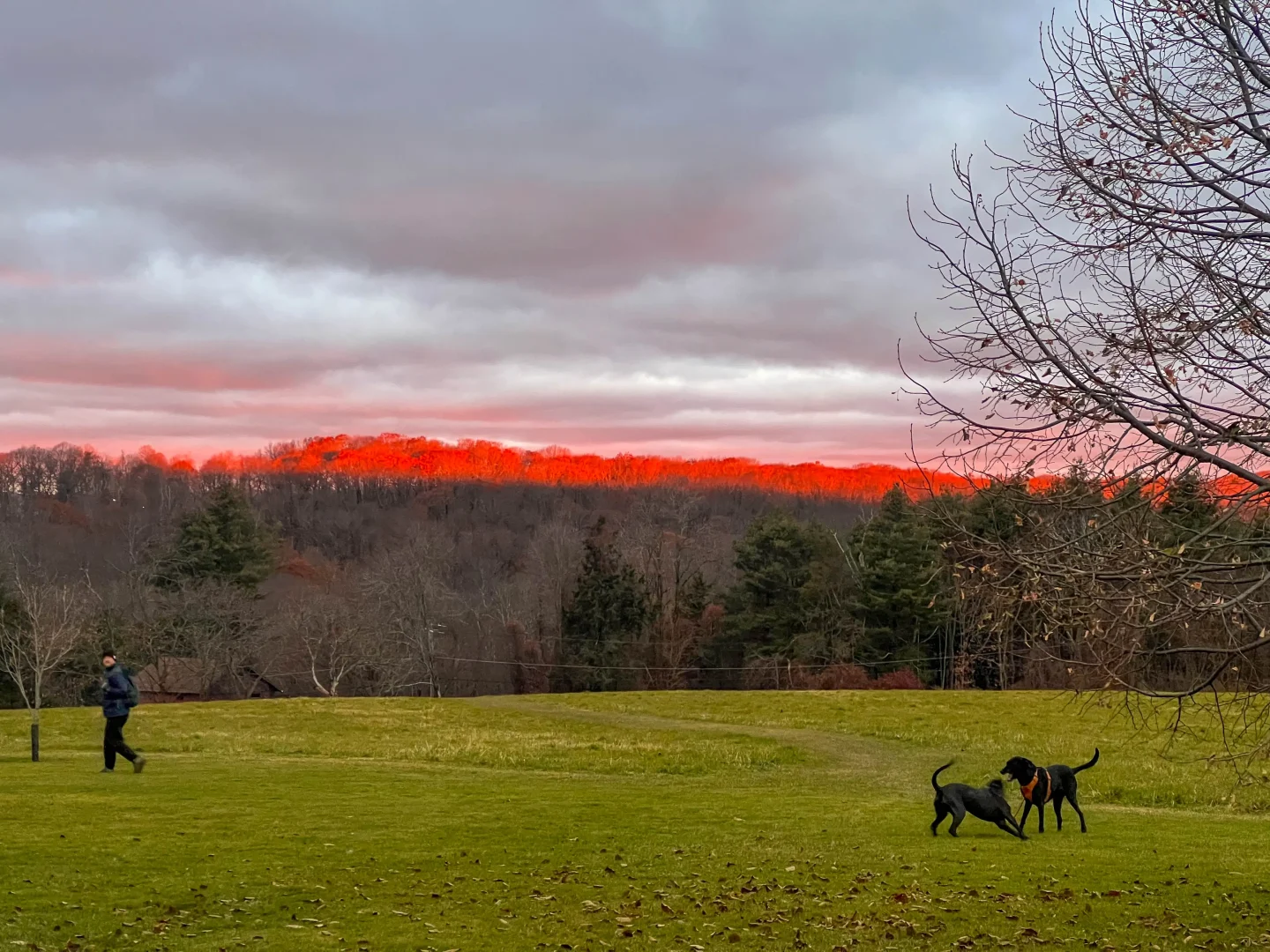
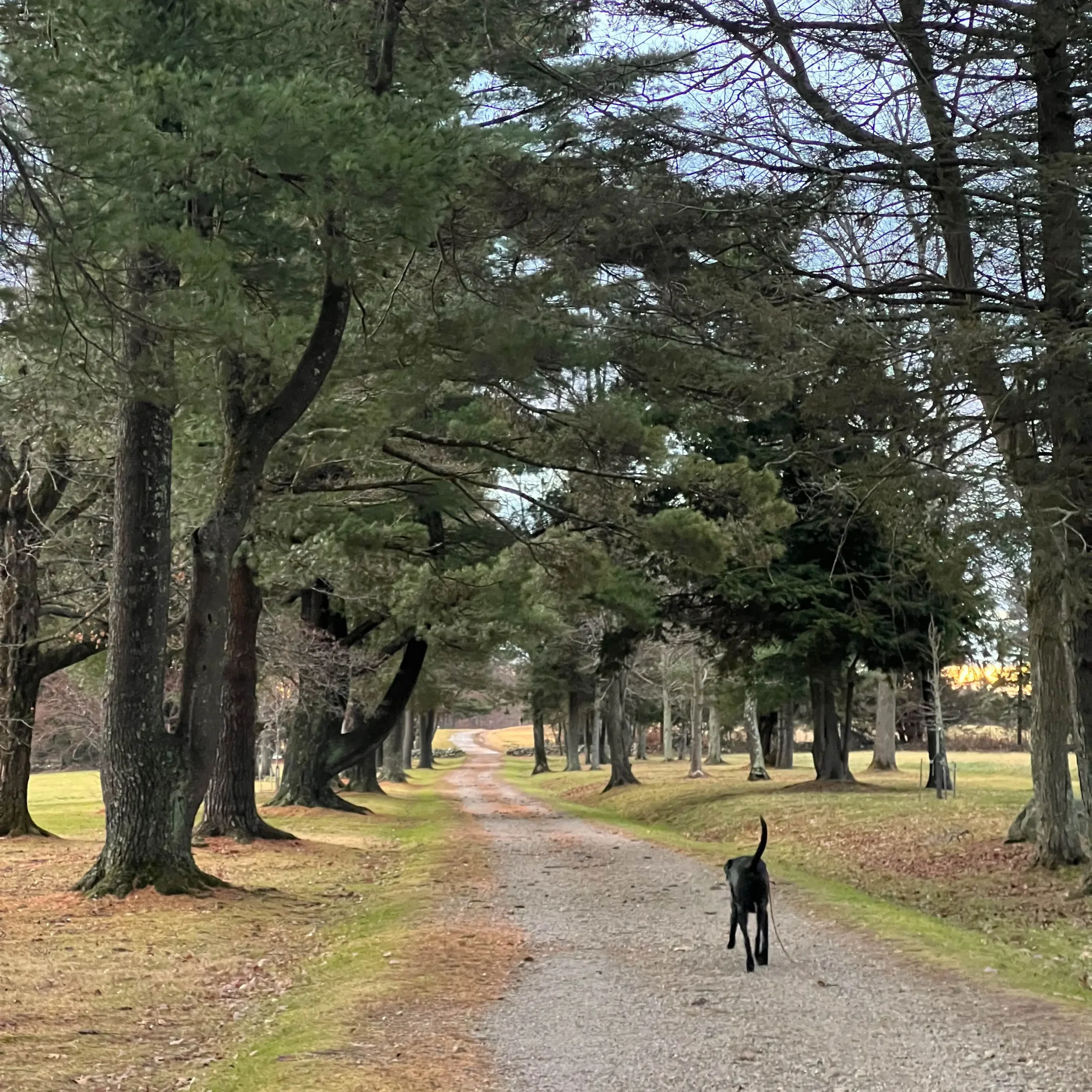
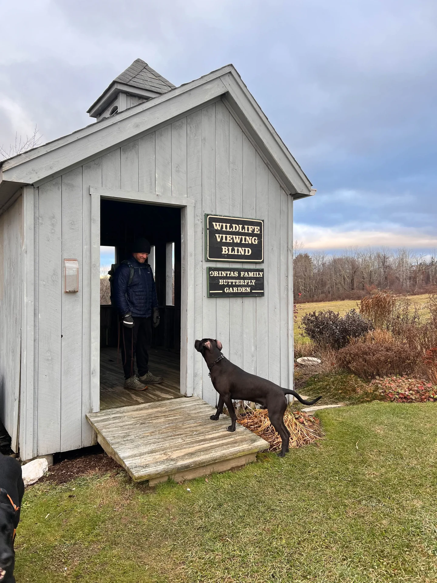
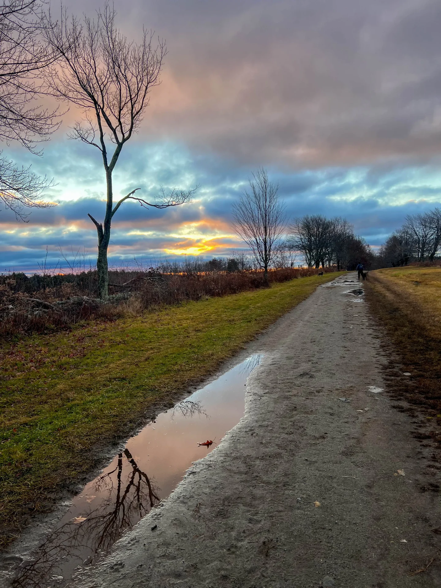
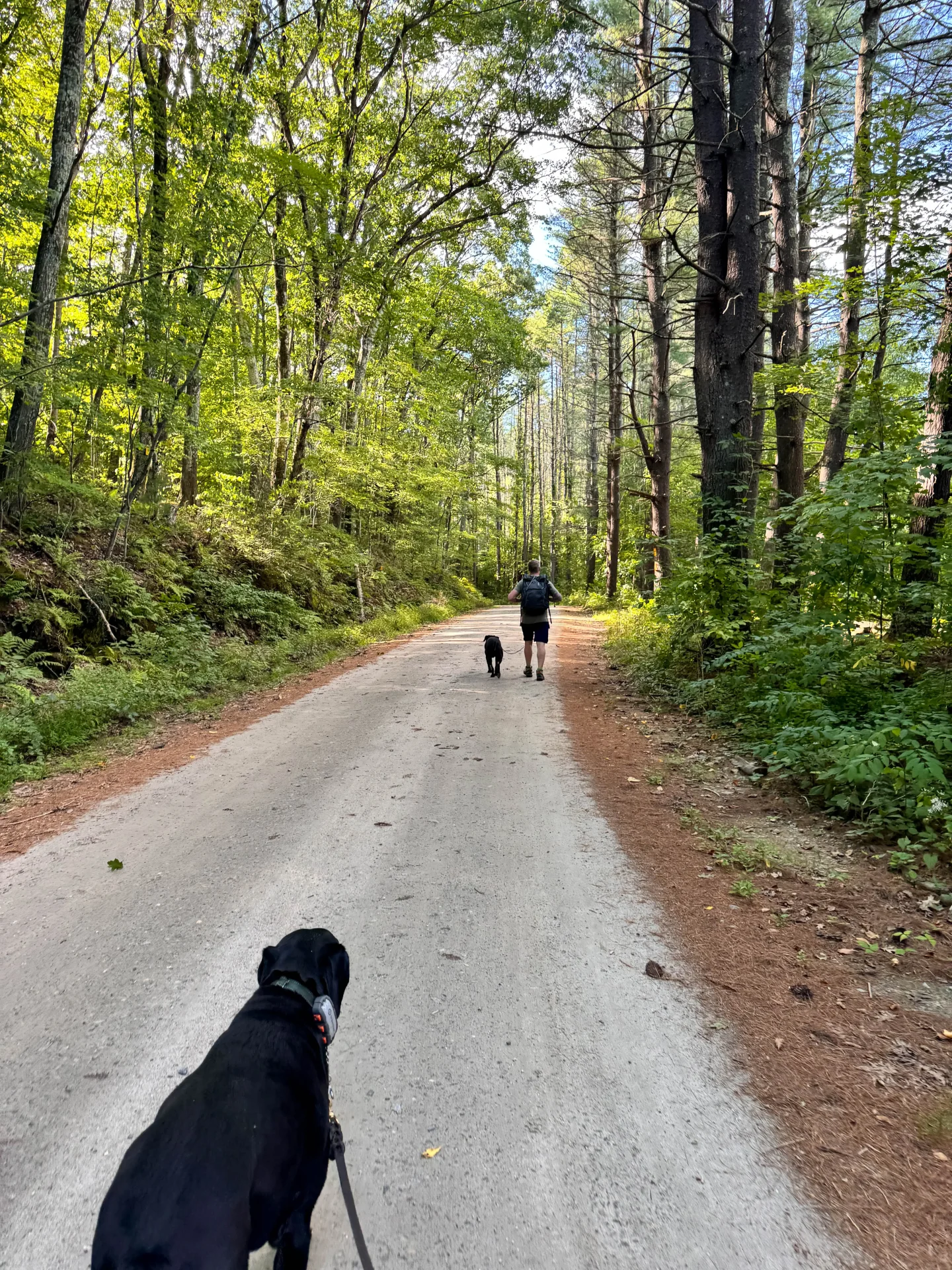
The Litchfield hikes on this list have trails for all skill levels, from easy walks to challenging hikes. Included are details on what to expect on each one and all of them are dog-friendly! 🐶💕
I lived and taught in Litchfield for several years and now, fortunately, I’m only a half hour away! Litchfield is one of my favorite towns to take a drive to on a weekend to hike or even after work.
Anytime I think of moving – I always think – but how long it will take me to get to Litchfield? 🤔
There’s so much to explore here from the 4,000 acre White Memorial Foundation to the Mattatuck Trail, Mount Tom Tower and numerous scenic preserves. I’m confident you’ll find a few favorites on this list!
So let’s get to it – here’s a list of hike worthy hikes in Litchfield, Connecticut! 😍⤵️
10 Beautiful Hikes & Trails in Litchfield 🥾
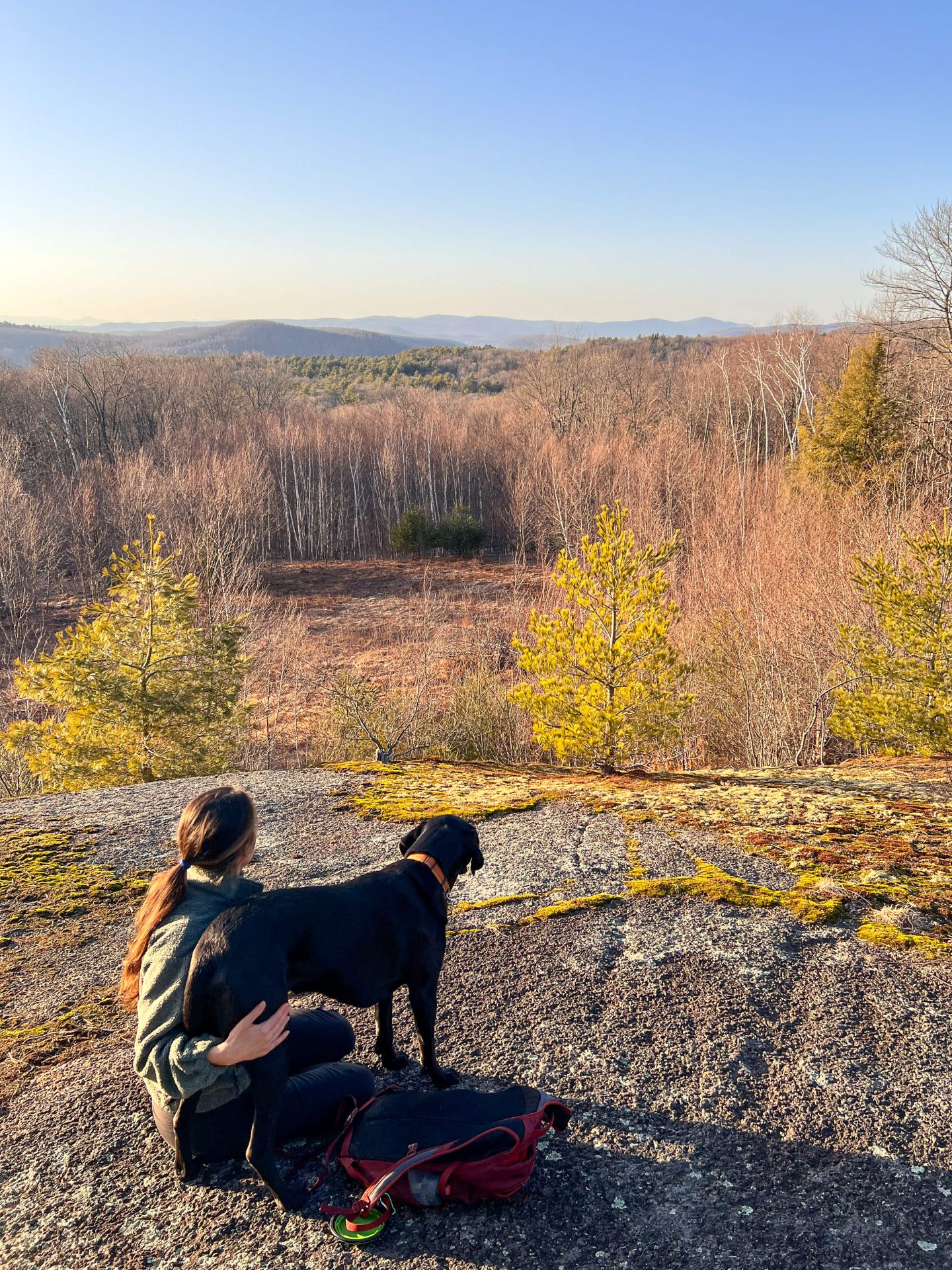
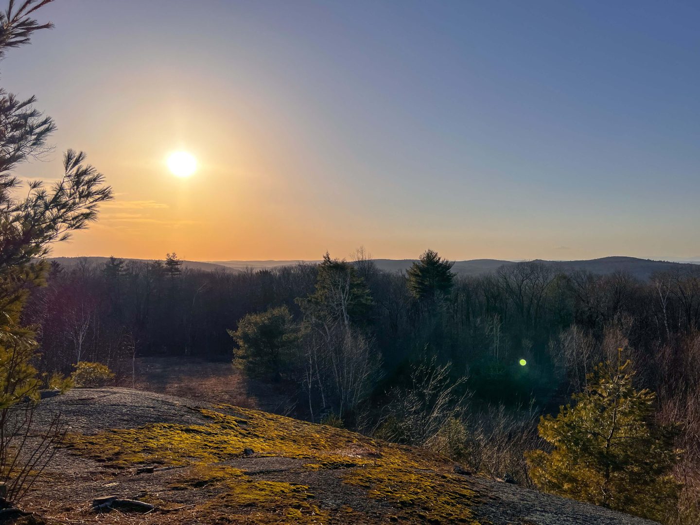
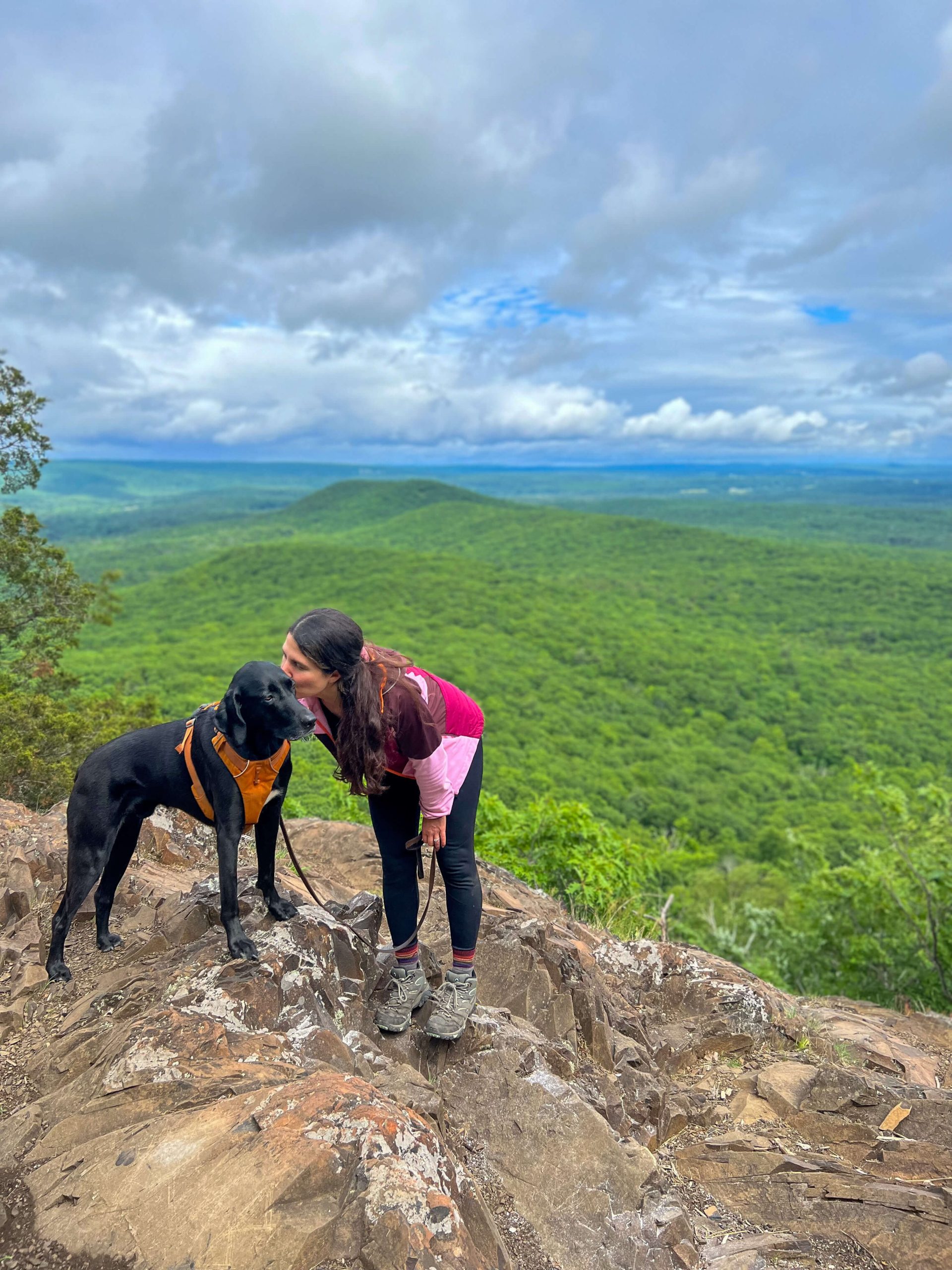
1. Mount Tom Tower Trail
- Miles: 1.3 miles out & back
- Elevation Gain: 337 feet elevation gain
- Level: Moderate
- Parking: Click to navigate to: 41.69532, -73.27997
- Special features: Lookout facing west before you get to the main attraction – 360 degree views atop Mount Tom Tower
A destination worthy trail – if you’re not right in Litchfield, this hike is worth the drive! Though it is a short hike it is a bit steep – I always wear my hiking boots on this trail as it is rocky on the way up.
Though short it will get your heart pumping! Mount Tom Tower is one of 8 different towers in CT that you can hike to.
Just before you reach the tower try not to miss a lookout that is just off the trail on your right, with pretty views facing west. And then enjoy the 360-degree views atop this historic Mount Tom Tower!
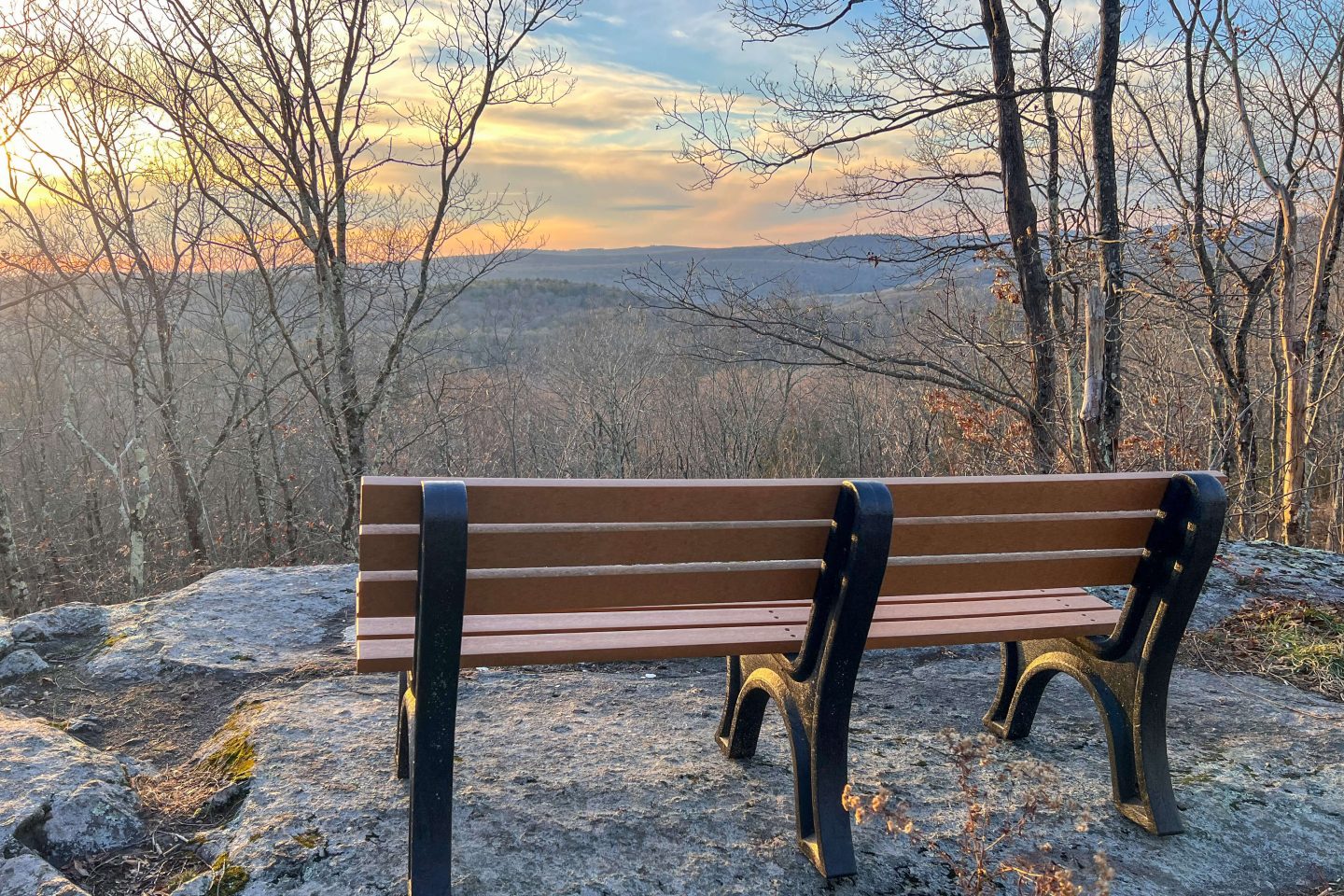
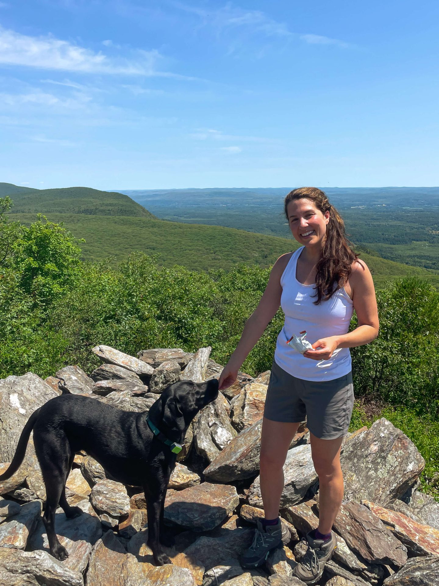
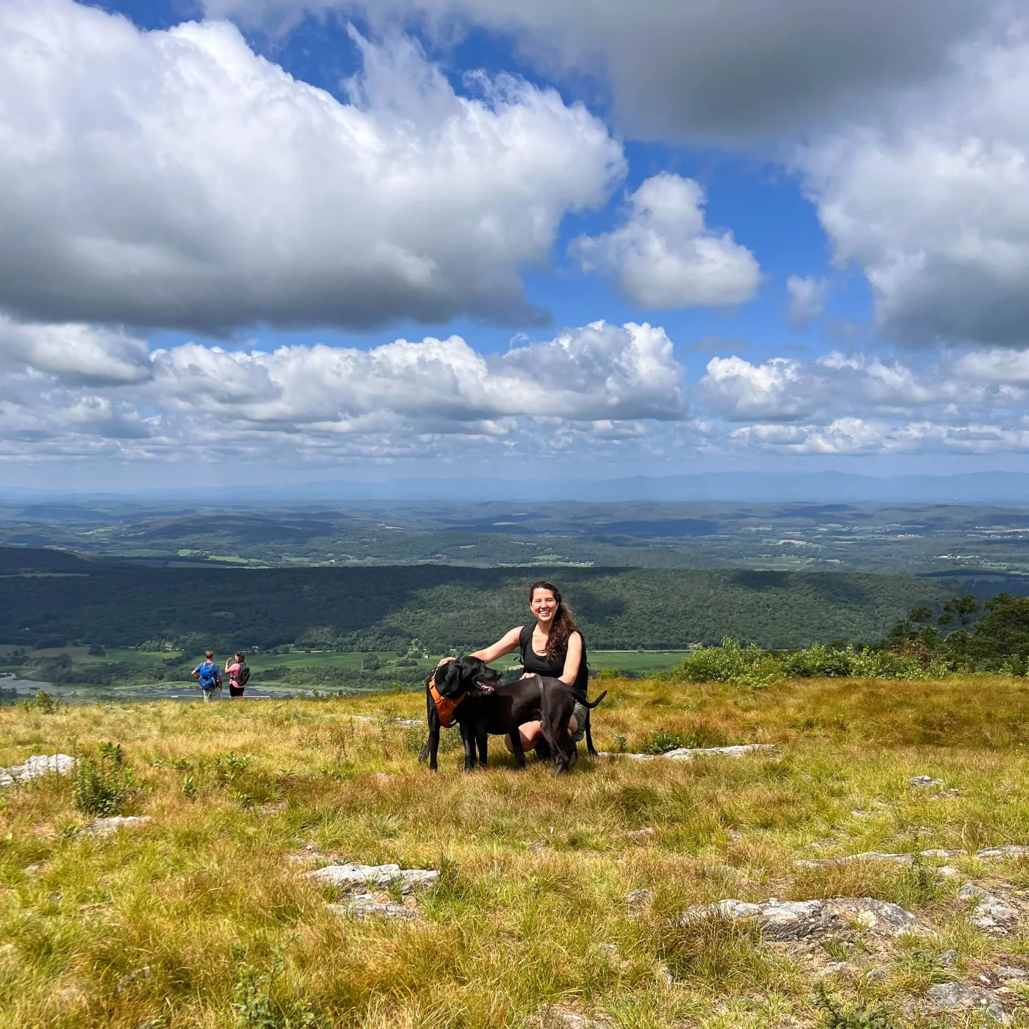
2. Prospect Mountain

- Miles: 1.9 mile loop
- Elevation Gain: 403 feet elevation gain
- Level: Moderate
- Parking: Click here to navigate to: 41.743, -73.25717
- Special features: Beautiful woods loop leading to western facing views atop Prospect Mountain + a bench! 🙂
Prospect Mountain is another gem in Litchfield. I love this little loop!
Inconspicuously located in a quiet neighborhood in Litchfield, you’ll quickly be immersed in the woods of Prospect Mountain Preserve.
You can do this loop either way – yellow to blue or the blue to the yellow.
Enjoy the pretty views atop Prospect Mountain – equipped with a bench! There are more western views along the trail and don’t miss the fun nickel mine that is just off the trail as you close the loop going counterclockwise.
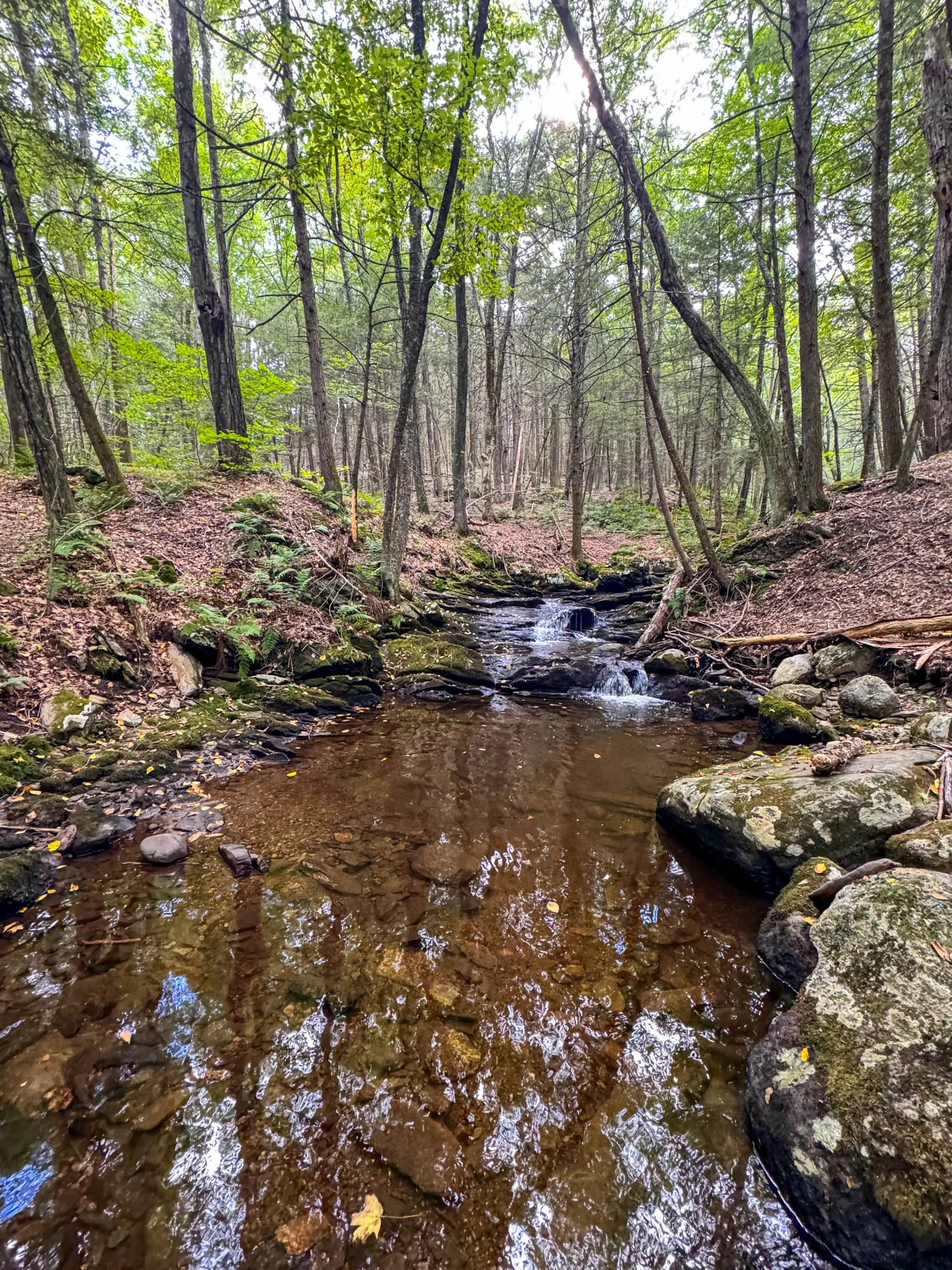
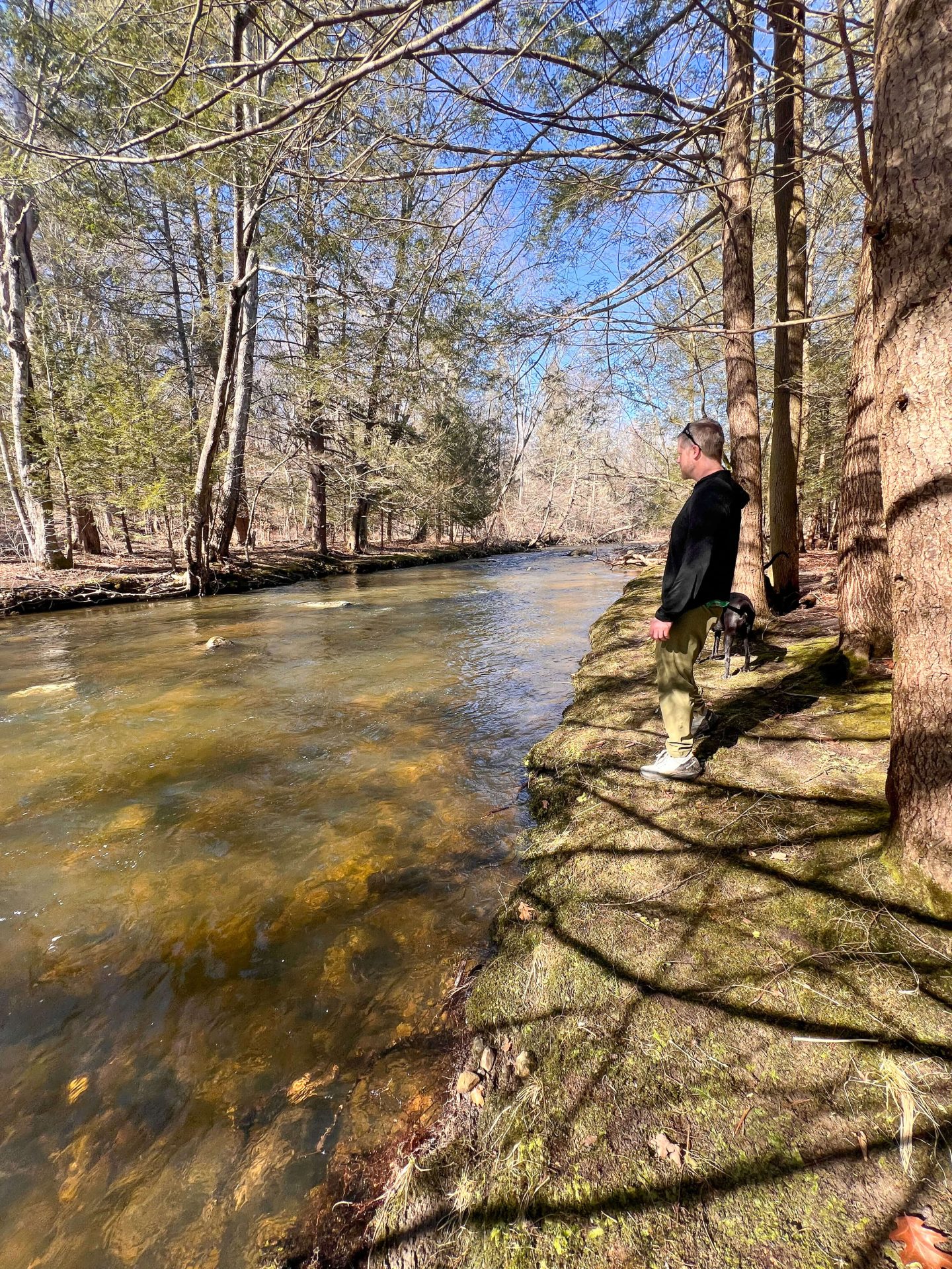
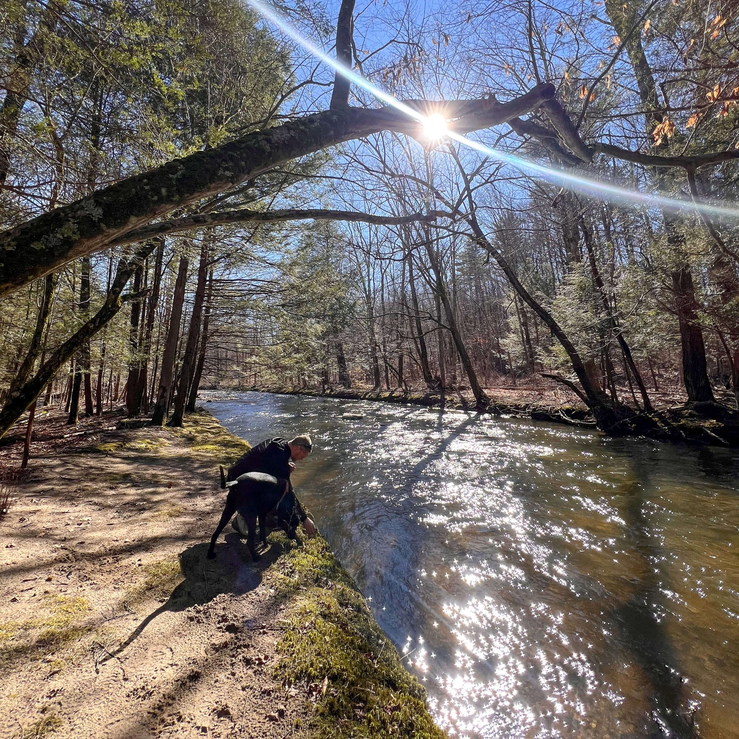
3. Medicine Rock Trail Loop
- Miles: 1.6 mile loop
- Elevation Gain: 167 feet elevation gain
- Level: Easy
- Parking: Click to navigate to: 41.76599, -73.17745
- Special features: Portion of the trail all along Bantam River! 🌊
This is one of 8 trails I featured in a CT river hikes post! I love this loop. It’s a newer discovery for me and I couldn’t believe the amount of times I drove by it along the busy Route 202.
There’s a gem of a trail in here and part of it takes you all along the Bantam River which is so peaceful! I enjoyed this trail in the spring before the leaves filled in because you can really get a good glimpse of the river as you go.
There’s are little beachy spots that get you up close to the water where the dogs can enjoy a dip. 🐶🌊
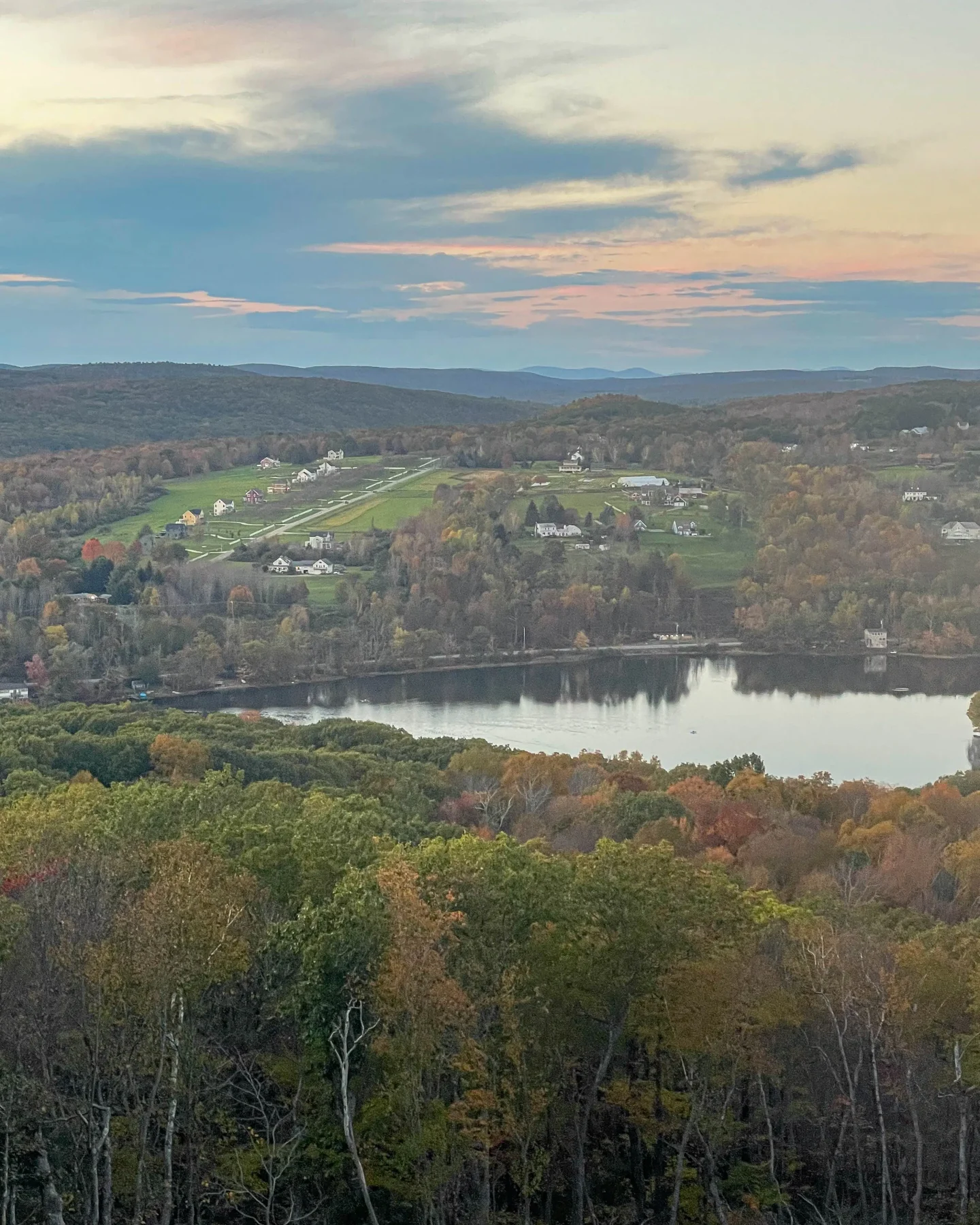
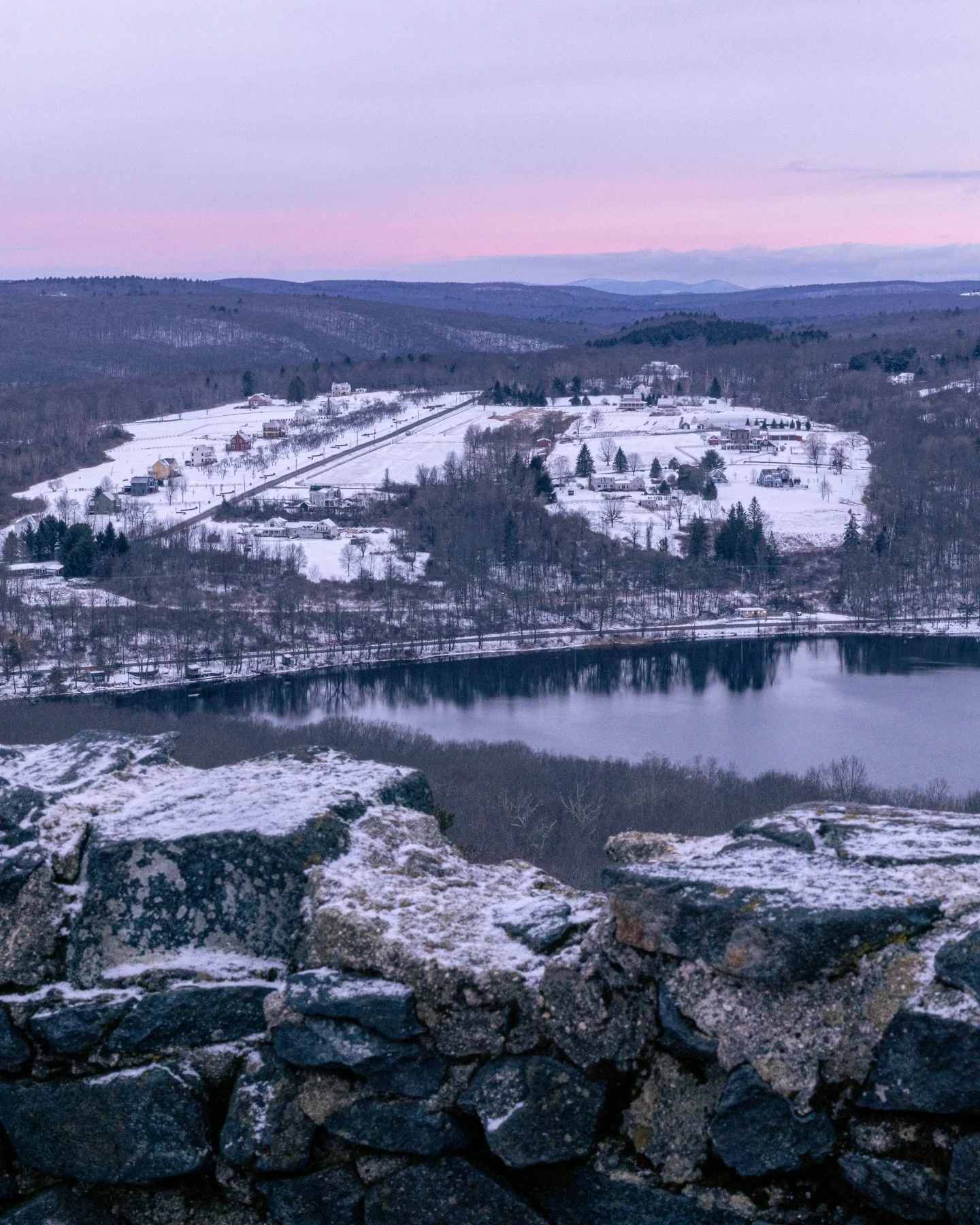
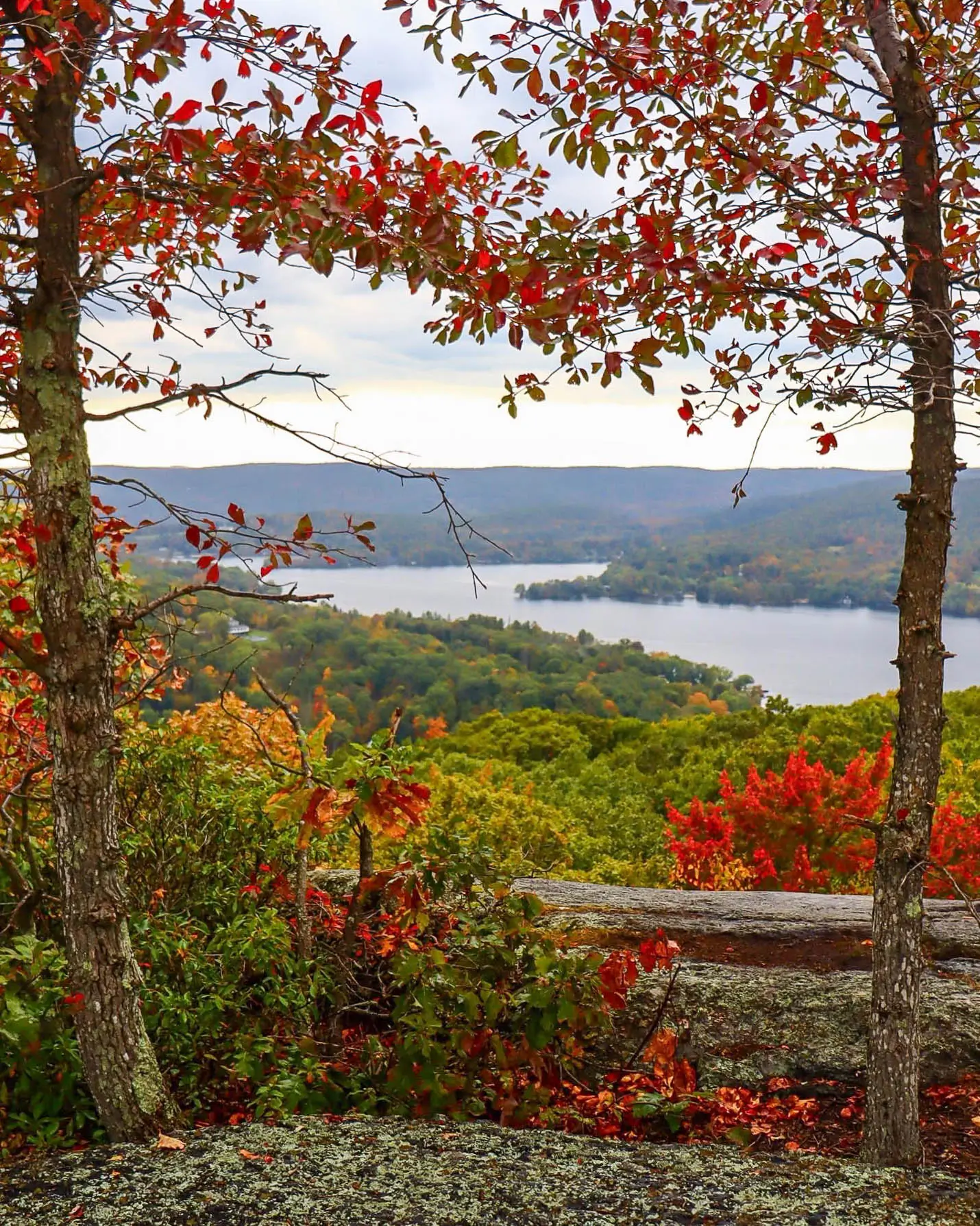
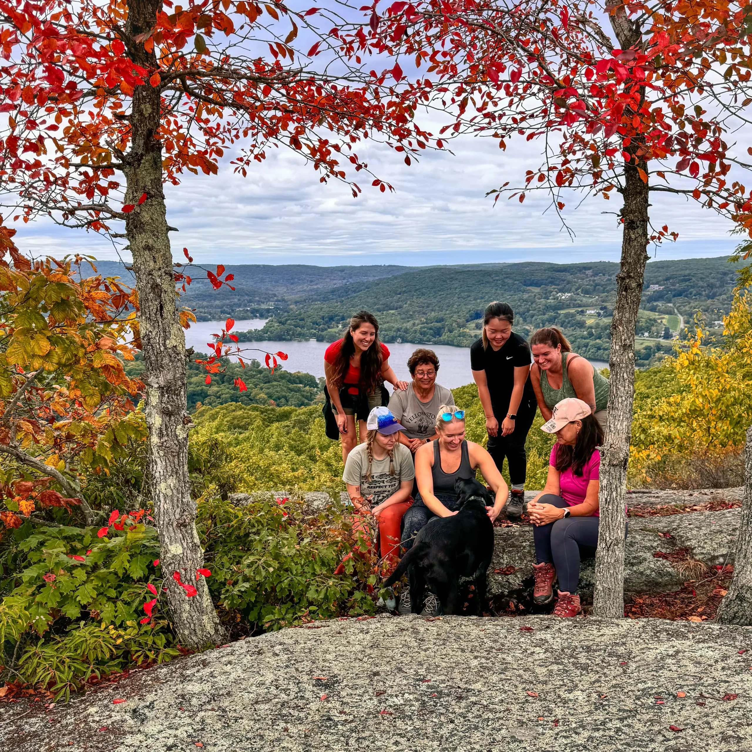
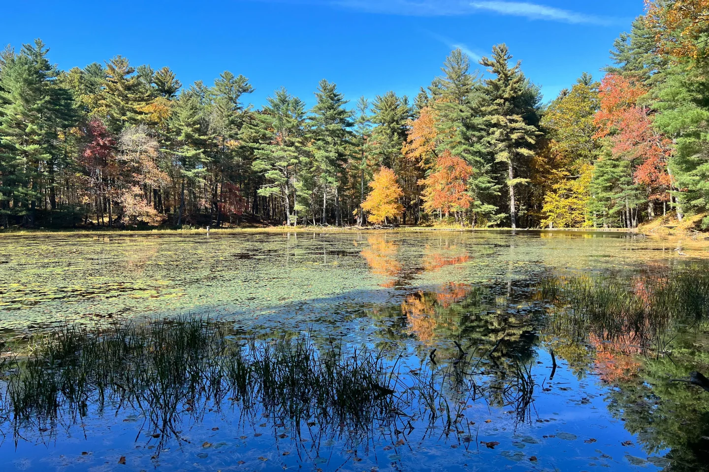
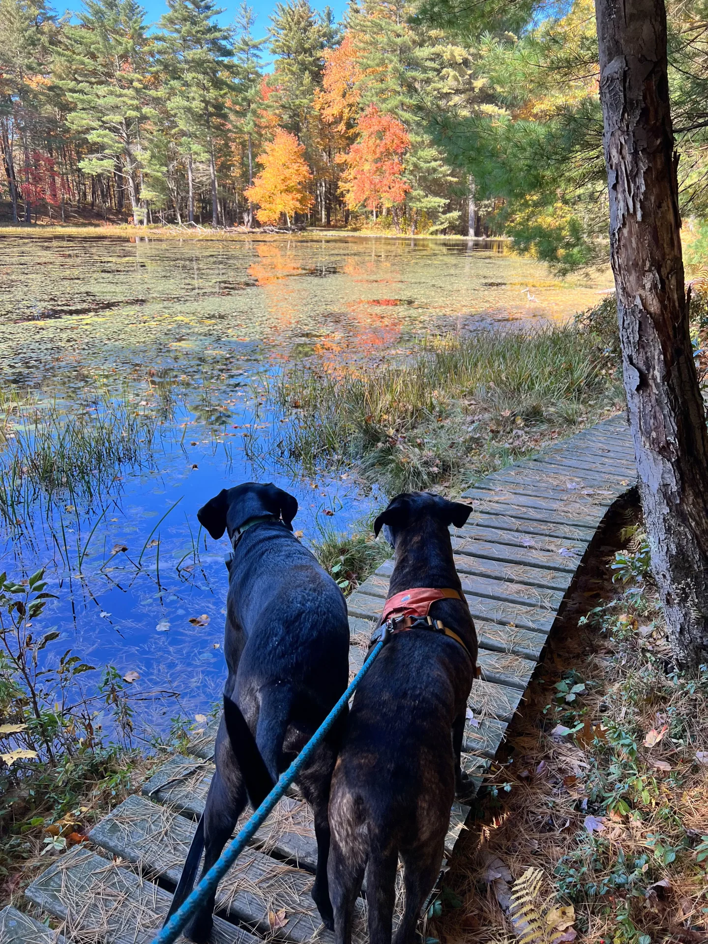
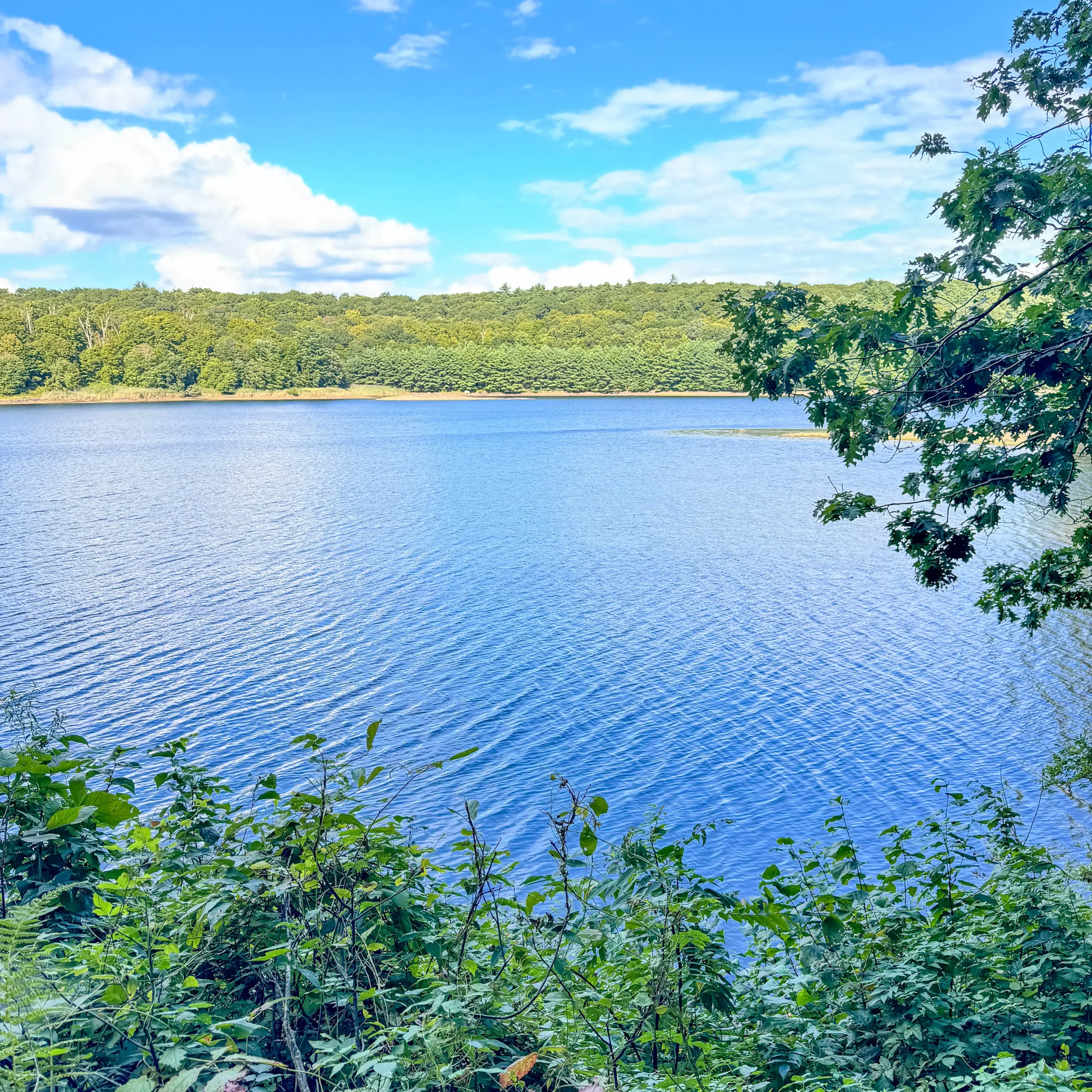
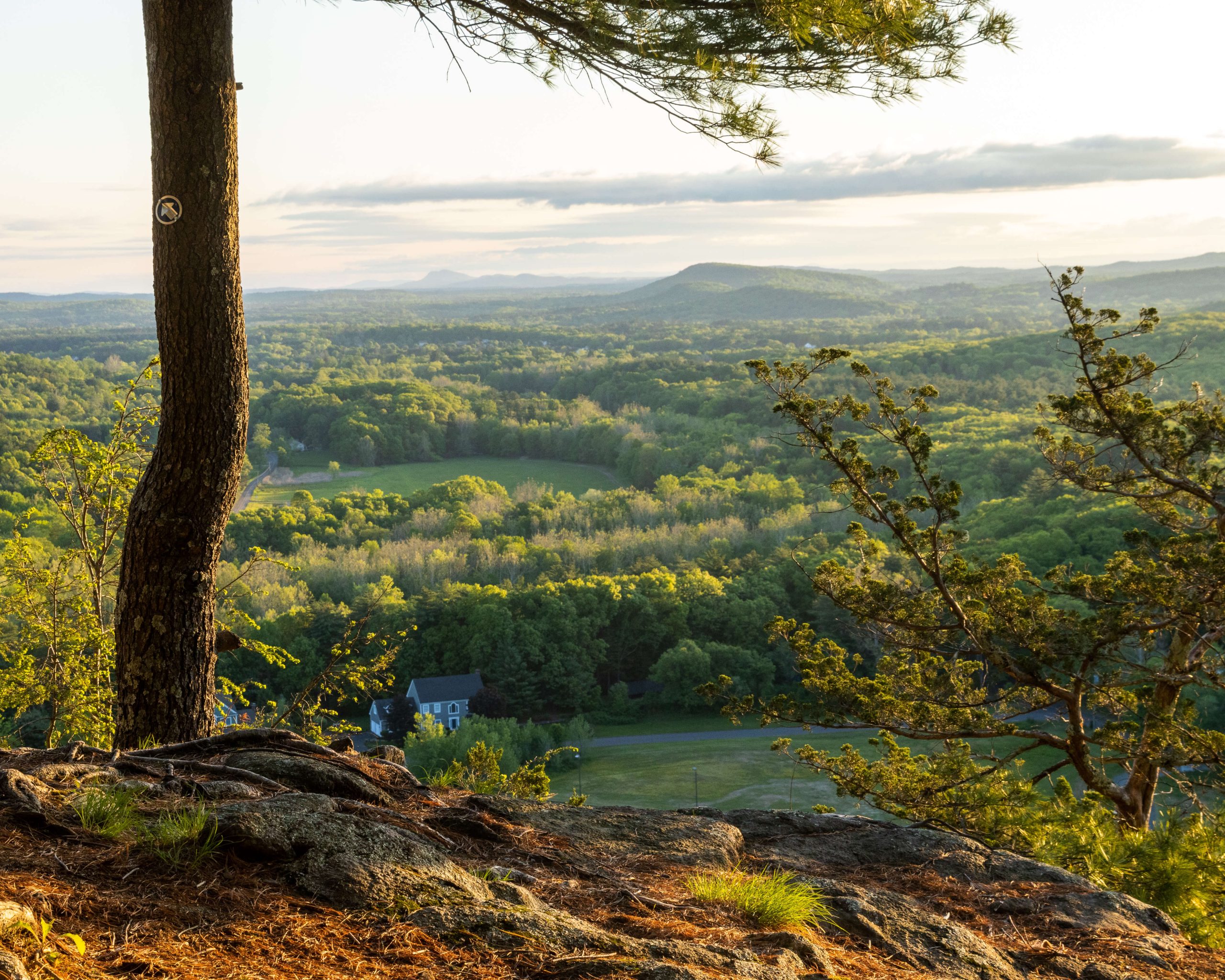
4. Meeker Trail via Macricostas Preserve
- Miles: 3.9 mile loop
- Elevation Gain: 708 feet elevation gain
- Level: Moderate (no scrambles, just a little incline to get your heart pumping! ))
- Parking: Click here to navigate to: 41.68299, -73.33384
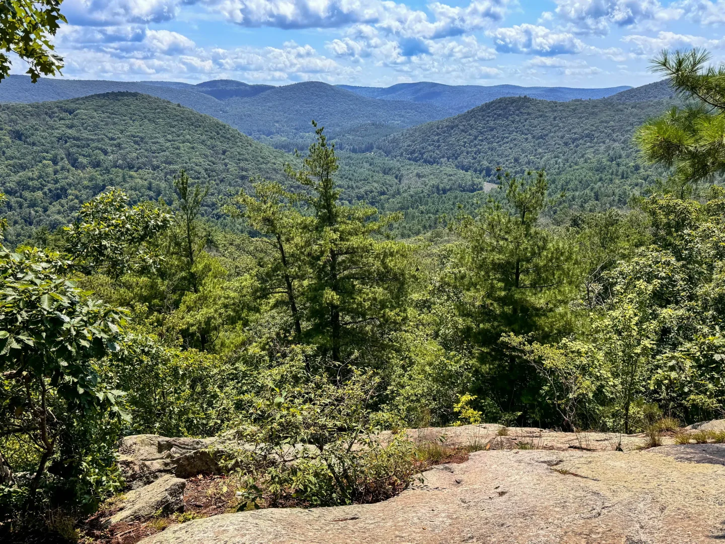
- Special features: View over Lake Waramaug, great for sunset 🌅
This is a favorite! Minutes from the hub of downtown, this is a must-do hike if you’re in Litchfield
Taking you through the magical fields of Macricostas Preserve with boardwalks winding their way through wildflowers and then a short climb up to the lookout that faces west – this hike has it all!
With a stunning view of Lake Waramaug, this one is beautiful in any season. Fall is particularly spectacular when those two trees at the top framing the view turn red! ❤️❤️
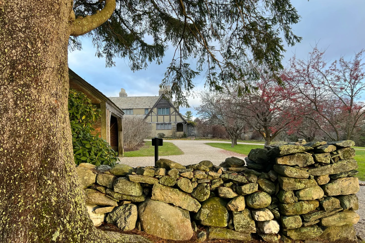
5. Topsmead State Park – Red Trail
- Miles: 1.8 miles out & back
- Elevation Gain: 98 feet elevation gain
- Level: Easy
- Parking: Click here to navigate to: 41.74764, -73.15613
- Special features: Partly paved path, picturesque grounds of Topsmead State Park including the mansion, fields, and pond
Topsmead is one of those places I go to when I want a mindless walk somewhere easy and beautiful. There are 511 acres of gorgeous manicured grounds, from the mansion which was once the summer home of Edith Morton Chase to the walks through the woods.
The above trail is just one of the trails you can take at Topsmead. Here is a link to others.
When I go I like to just wing it. I start by walking up toward the mansion, then take a left to walk through the wide open field with stone walls to the observatory and then loop back around. Or, from the mansion head right toward the pond and find the little loop in the woods.
Any way you walk it, I think you’ll love it! This is a treasured piece of Litchfield. ❤️
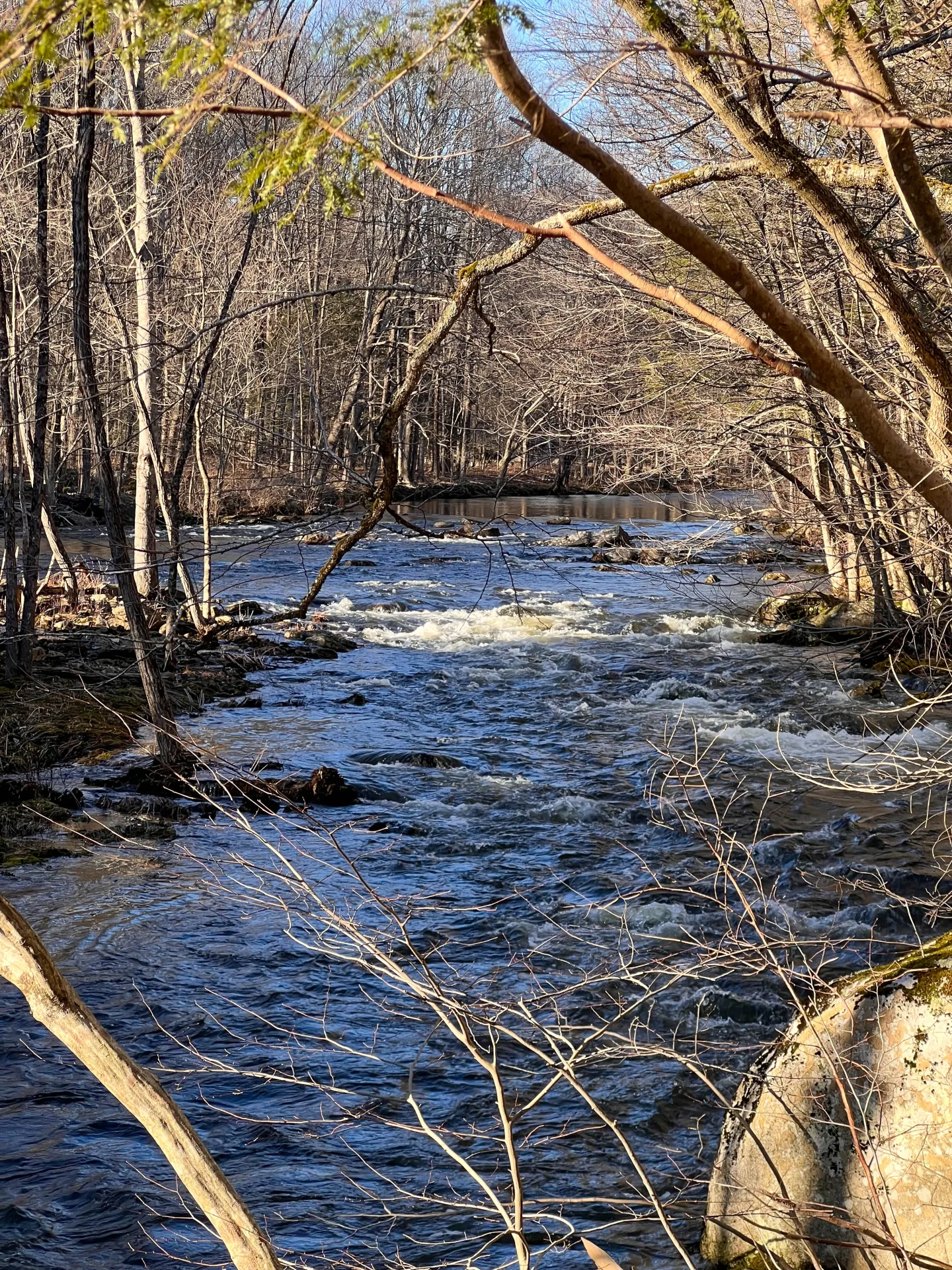
6. Shepaug Crossing Trail Loop
- Miles: 2.4 mile loop
- Elevation Gain: 456 feet elevation gain
- Level: Easy – Moderate
- Parking: Click here to navigate to: 41.7045, -73.291
- Special features: Part of the loop takes you all along the Shepaug River
The Shepaug Loop is another recent find that I love. (I know I keep saying it, but I love all the hikes in Litchfield!)
From the busy road you head into the forest and get farther from the traffic. Taking the loop clockwise you’ll walk along the Shepaug River which is such a treat.
There is no big view or lookout on this trail but I count the portion along the river as my view and that scenic stretch keeps me coming back.
An 80-acre Connecticut Land Trust property owned by the Litchfield Land Trust, the trail offers a rich mix of natural and historical elements.
7. Mountain View Preserve
Minutes from the center of Litchfield, part of the Goshen Land Trust is Mountain View Preserve which offers a beautiful view facing west!
🌟For more sunset hikes check out my post – 6 Spectacular Sunset Hikes in northwestern Connecticut! 💫
- Miles: 2 mile loop
- Elevation Gain: 347 feet elevation gain
- Level: Easy
- Parking: Click here to navigate to: 41.89051, -73.25536
- Special features: View facing west, perfect for sunset! 🌅
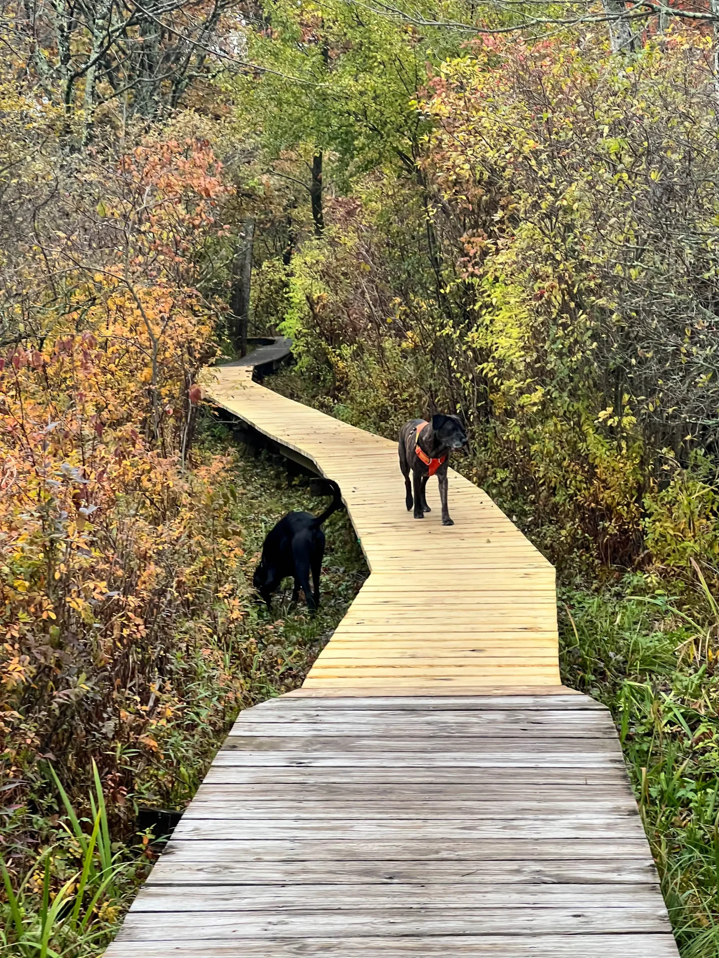
8. Mattatuck to Beaver Pond Loop
- Miles: 4.2 mile loop
- Elevation Gain: 403 feet elevation gain
- Level: Moderate
- Parking: Click here to navigate to: 41.71447, -73.18641
- Special features: View over Beaver Pond, scenic woods in White Memorial
This is a wonderful trail to try in White Memorial Forest. I love how this trail welcomes you – on a wide padded pine path through the woods.
There are lots of different trails to take within White Memorial so you will see trails throughout. Download the map on AllTrails if you’d like to stick to this loop exactly.
Otherwise, I like to make my own loops and walk all around until I am ready to go back. Yet I also know my way around in here so that’s easier for me to do!
You can easily hike around for a couple hours in here. Enjoy all the different ponds, paths, and tall tall pines! 🌲🌲
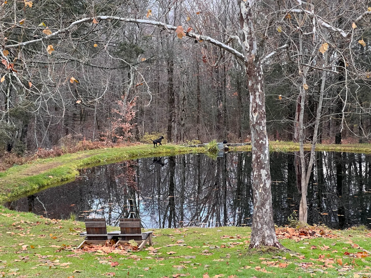
9. White Memorial Boardwalk
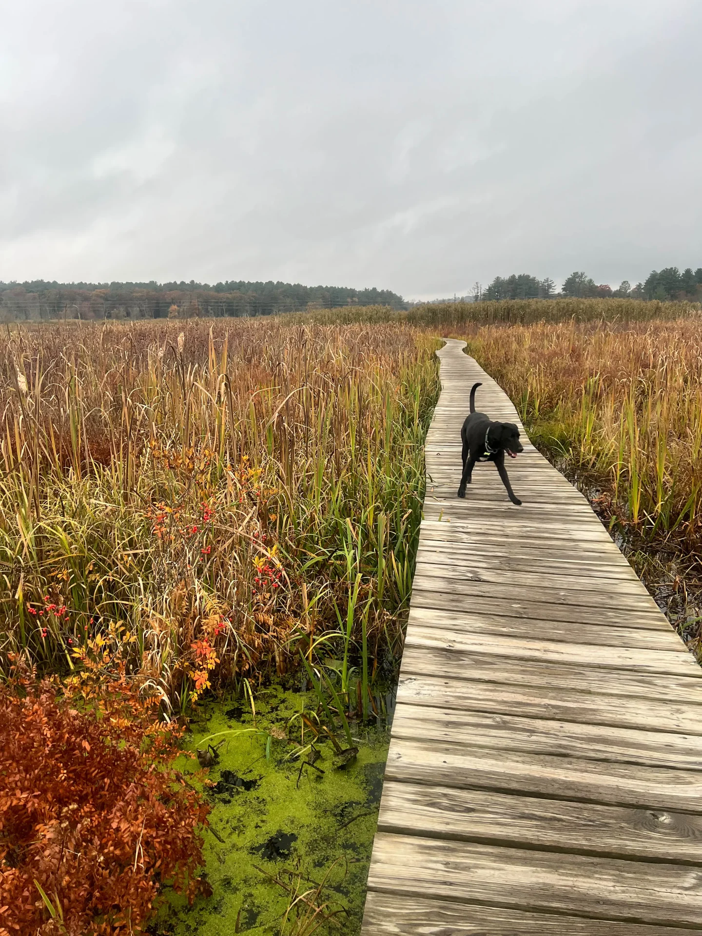
- Miles: 1.7 mile loop
- Elevation Gain: 0 feet elevation gain
- Level: Easy
- Parking: Click here to navigate to: 41.72922, -73.20463
- Special features: Scenic boardwalk over and all around Little Pond
The White Memorial Boardwalk is a raised wooden pathway for exploring the wetland ecosystem of Little Pond. It crosses the Bantam Lake River at two locations and is open year-round.
This is a great little hike for kids or beginners as it’s all flat. Love coming here in early in the morning in fall to see the fog rising up from the pond!
A favorite for bird watching, hiking, and leisurely walks, this boardwalk welcomes dogs on leashes. It’s an excellent spot for a short hike and closer look at wildlife in White Memorial!
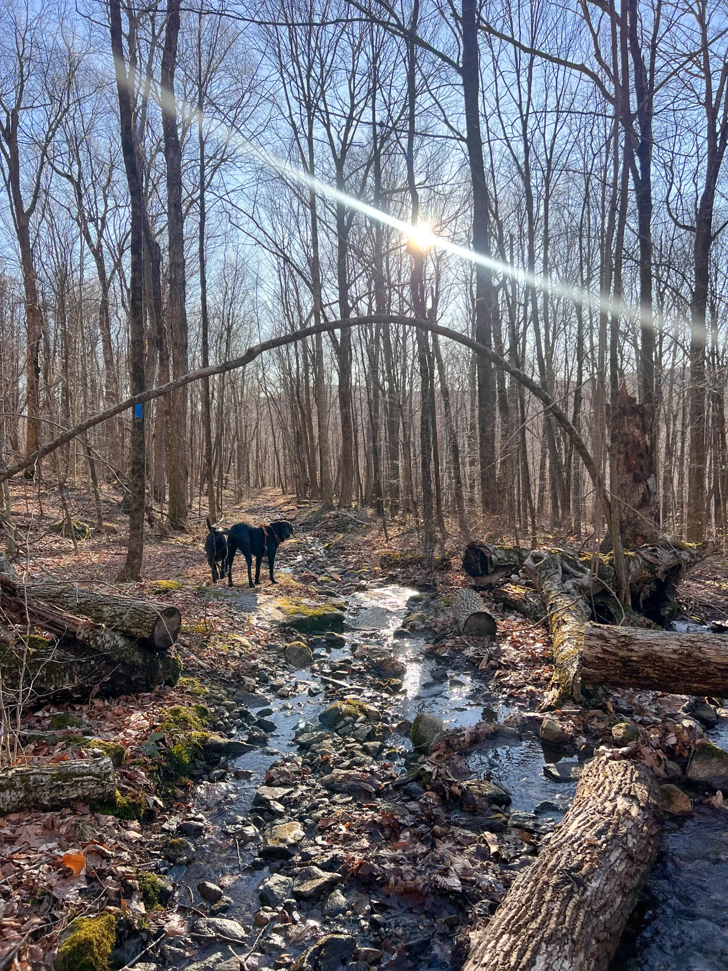
10. Mattatuck Trail: Slab Meadow Road to Basset Road
- Miles: 3.2 miles out & back
- Elevation Gain: 383 feet elevation gain
- Level: Easy
- Parking: Click here to navigate to: 41.69686, -73.16166
- Special features: Little waterfalls when you reach Slab Meadow Brook, take Pitch Road on way back for scenic views of Morris Reservoir and Pitch Reservoir 🌊
I recently tried this hike and really enjoyed it! This is a great spot to come to hike with the dogs off leash as it’s not one of the more well known hikes in Litchfield.
You start out on the blue Mattatuck trail and after 1.8 miles you arrive at Slab Meadow Brook which has pretty little falls and water for the dogs.
At this point we turned left and looped around to walk back on Pitch Road. This is a paved road so keep dogs close but this road does not see a lot of traffic.
The good part about walking along this road for the way back is how it goes by both Morris and Pitch Reservoir. We saw people fishing at both reservoirs when we walked by.
✨Bonus Hikes Near Litchfield:
There are so many pretty hikes in Litchfield County so I wanted to give you a few more ideas if you’re up for a drive. These hikes are worth the trip!
1. Pine Knob Loop via Appalachian Trail, Cornwall Bridge
🚙 23 minutes from Litchfield
Waterfalls and views, this trail has it all! And it intersects with Connecticut’s Appalachian Trail. Pine Knob Loop in Cornwall is definitely worth the trip from Litchfield!
2. Kent Falls State Park, Kent
🚙 30 minutes from Litchfield
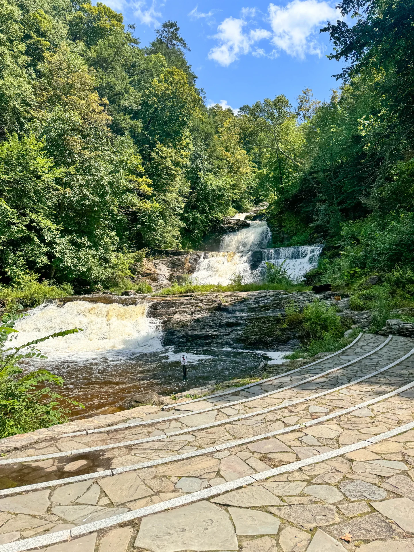
Kent Falls State Park is home to Connecticut’s tallest waterfall, featuring a 0.3-mile trail that offers stunning views of cascading waters and lush greenery. The main attraction is the waterfalls that cascade 250 feet down before reaching the Housatonic River.
This isn’t a big hike – it’s a very short walk to the base of Kent Falls and then steps lead you up along the right side of the falls.
3. Bear Mountain – CT’s tallest peak! ⛰ Taconic/ Mount Riga State Park
🚙 40 minutes from Litchfield
Come climb Connecticut’s tallest peak! Located on the Appalachian Trail I wrote a whole post dedicated to hiking Bear Mountain and the different routes you can take to get there. 🙂
4. Mount Frissell and Brace Mountain Loop Trail, Taconic
🚙 40 minutes from Litchfield
This one is a beautiful journey. The Mount Frissell and Brace Mountain Loop Trail spans 5.5 miles and offers exceptional panoramic views.
That’s it, friends!
This sums up our best hikes and trails in and near Litchfield list!
I hope you found a new spot go to and soon discover a new favorite trail. I love them all for different reasons so it’s hard to pick just one! Bookmark this list and keep coming back to try a new one!
Enjoy and happy hiking! 🥾🥾🐶
Frequently Asked Questions
Are the hiking trails in Litchfield suitable for beginners?
Absolutely! Litchfield has great beginner-friendly trails like the Medicine Rock Trail and the White Memorial Boardwalk, making it perfect for new hikers to explore.
Can I bring my dog on the trails?
Yes, all trails in this post welcome dogs.
What is the best time of year to hike in Litchfield?
The best time to hike in Litchfield is typically from April to November when the weather is perfect for outdoor adventures. But it’s beautiful to snowshoe in the woods, too!
Are there any historical sites along the trails?
Absolutely! Trails such as the Shepaug Crossing Trail Loop have fascinating historical sites to explore, including old iron forges from the late 1700s


I haven’t been up that way yet, so I’ll have to check these out! I love how a lot of these trails seem very accessible and short even if they are steep. I need to explore more of Connecticut for sure
Yay! Yes, you can do several a day.. or maybe 2 😉 if you have the time because a few of these are shorter! Thanks, Lita :))
Great list of scenic hikes! Meeker trail is an especially great suggestion!
I agree!! Love that one; the meadow you walk through, then the open field, and then the view of Lake Waramaug at the top!