Westwoods Loop along Lost Lake in Guilford: A Trail Guide
At just 1.5 miles from the Guilford Green and under 20 minutes from New Haven and the bustling Yale University Campus, lies a hiking oasis within Guilford’s Westwoods. Part of the Guilford Land Trust, Westwoods is a 1,200-acre property with 32 miles of trails.
In this trail guide, you’ll find details for parking and turn-by-turn directions for this 3-mile loop to ensure a fun and safe hike that allows you to see all the views along Lost Lake!
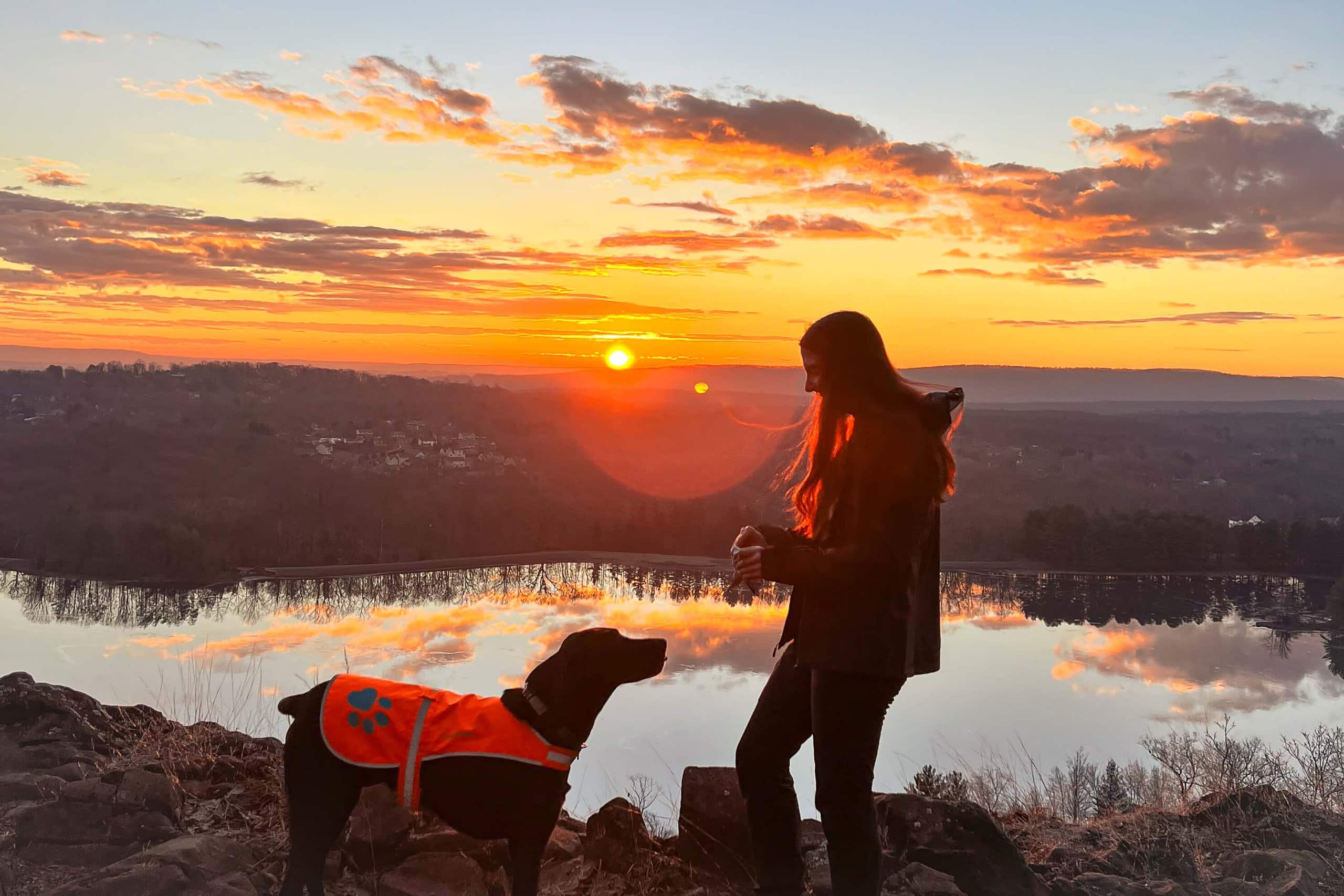
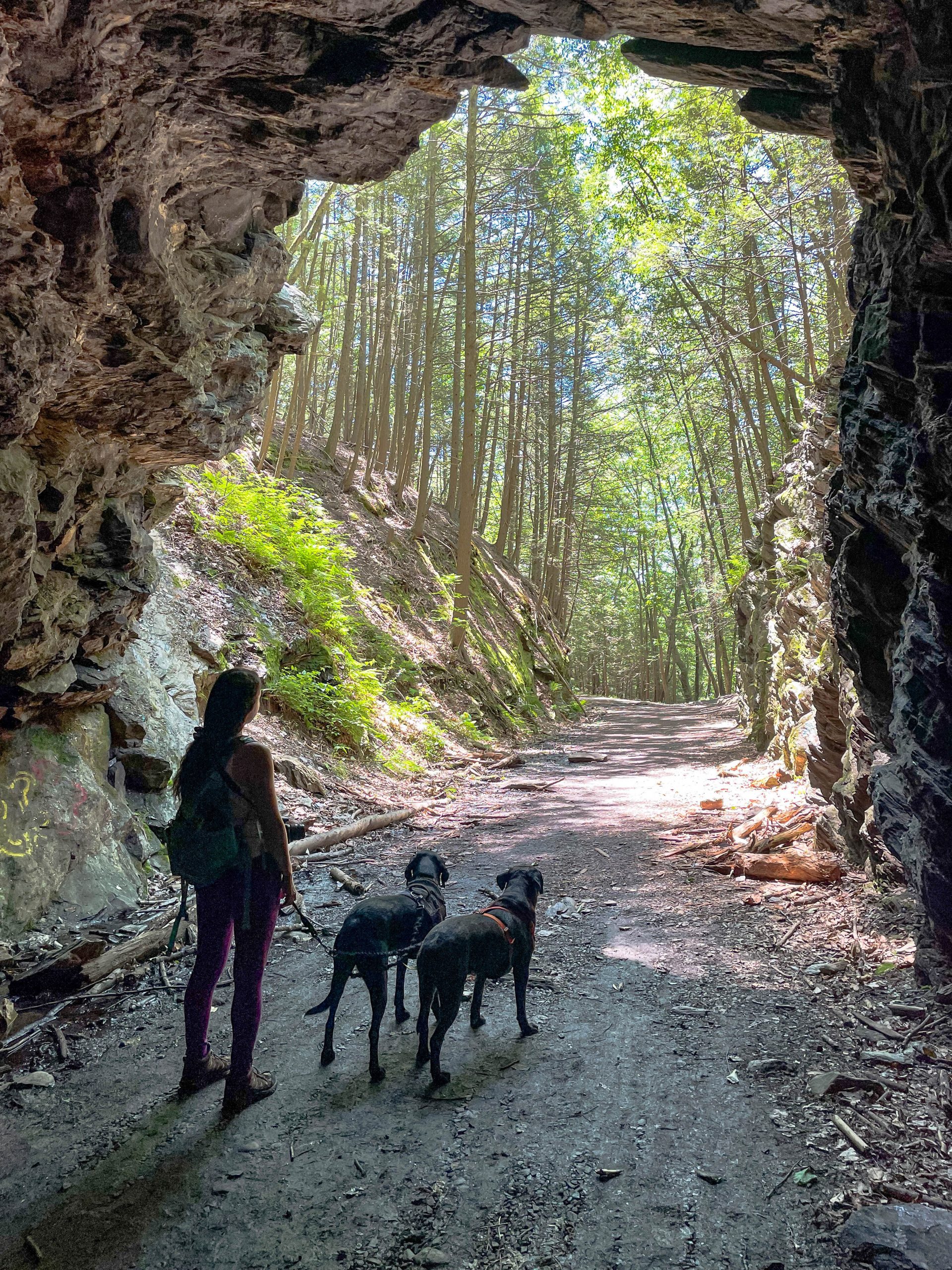
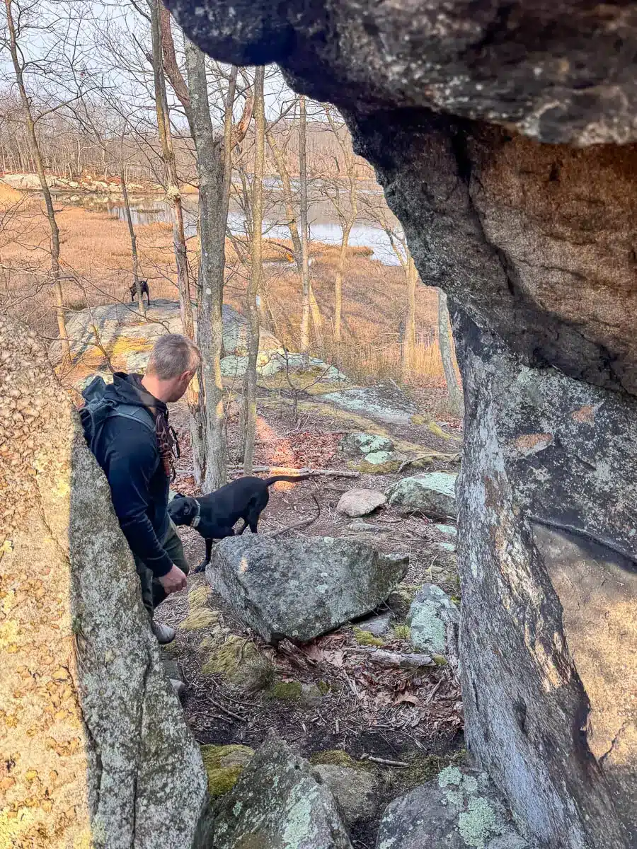
This was my first hike at a CT Land Trust that’s along the shoreline. What makes Westwoods special is the variety of interesting sites from caves to saltwater and freshwater marshes, an inland tidal lake, unique rock formations, and the almost constant views across expansive Lost Lake.
I made this trail on AllTrails because I could not find a trail there that took you all along the shore Lost Lake (so many views & scenic spots!).
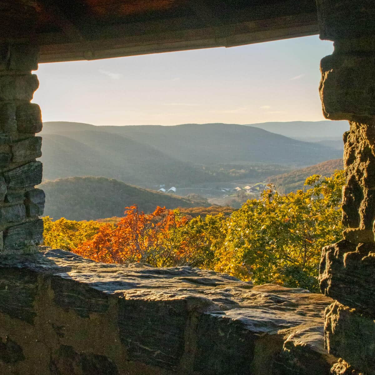
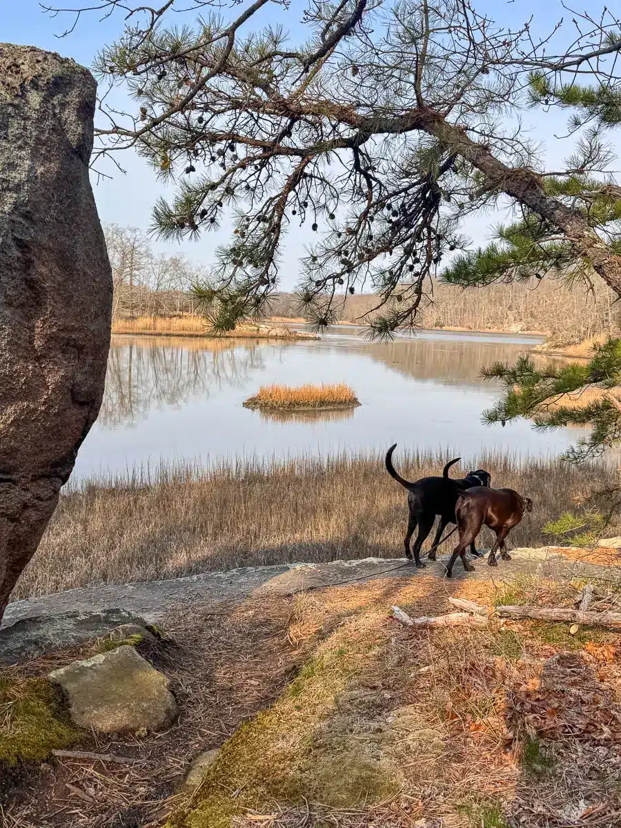
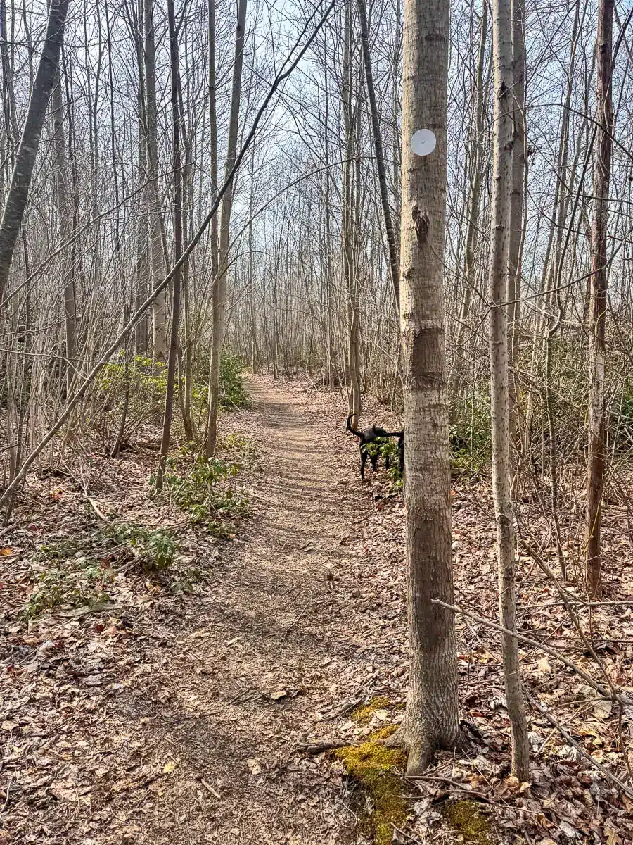
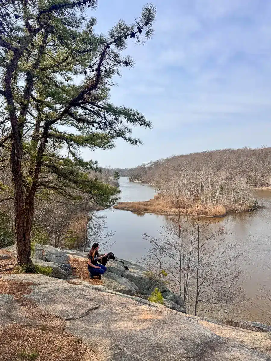
 window view in beginning of the hike
- Splitting rock tree!
🥾 Guide to Hiking Westwoods to Lost Lake 🗺️
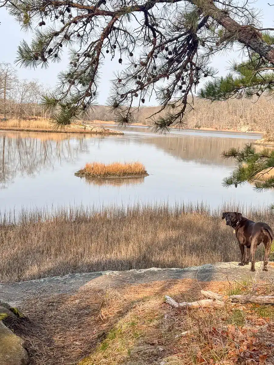
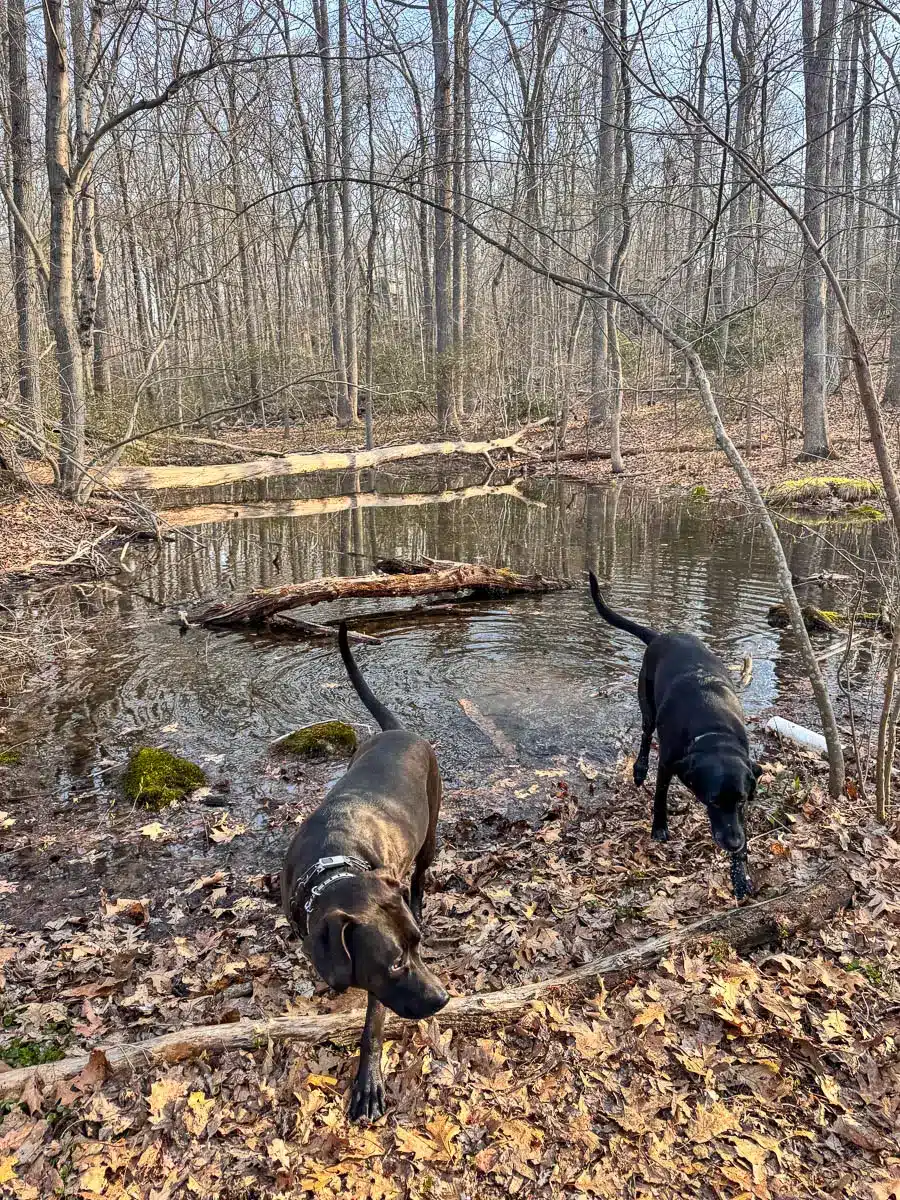
Hike all along the shore of Lost Lake with scenic water views the whole first portion of the loop, marshes, unique rock formations, and water access for the dogs.
- Miles: 3 mile loop
- Elevation Gain: 197 feet elevation gain
- Level: Easy – Moderate (there is a rocky part along the lake but it doesn’t last long!)
- Parking: Click here to navigate to the parking lot on Sam Hill Rd in Guilford
- Special features: scenic views for 1.5 miles all along Lost Lake, varied terrain & landscape, water access at times for the dogs
- AllTrails link to map I made (use this map along with the turn-by-turn directions below)
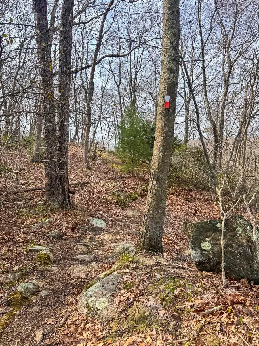
You’ll start from the parking lot off Sam Hill Road, picking up the white blazed trail which you’ll be on for mostly the entire hike as it alternates between the white circle trail and the white square trail.
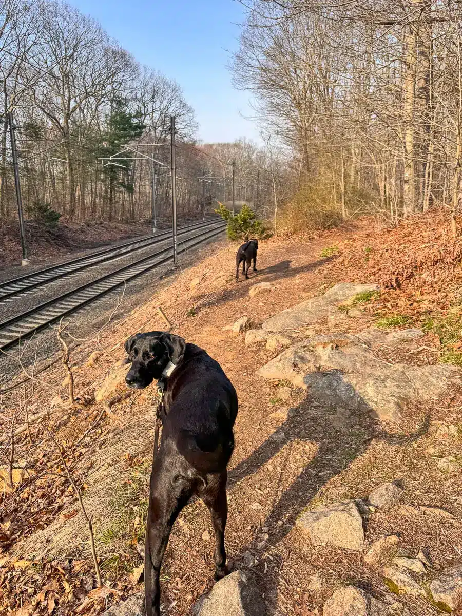
📝🚂 Note: You’ll soon be walking along an active railroad so keep the dogs close until you move away from the tracks at about 0.4 miles in.
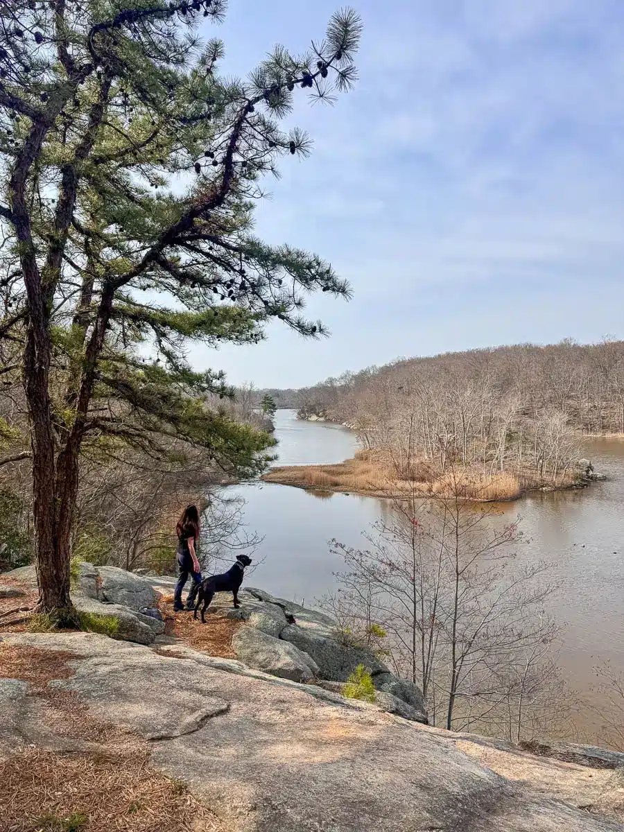
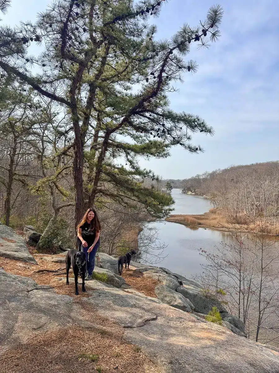
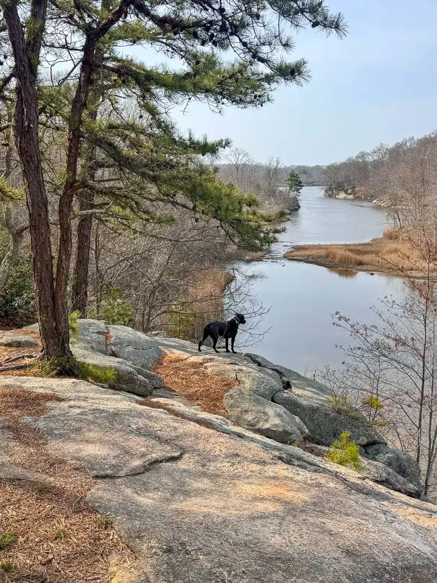
At just half a mile in along the White Square Trail, you’ll begin a 1.5-mile stretch all along Lost Lake with views throughout. We were here in spring before the leaves filled in which made for constant views of the lake the whole time.
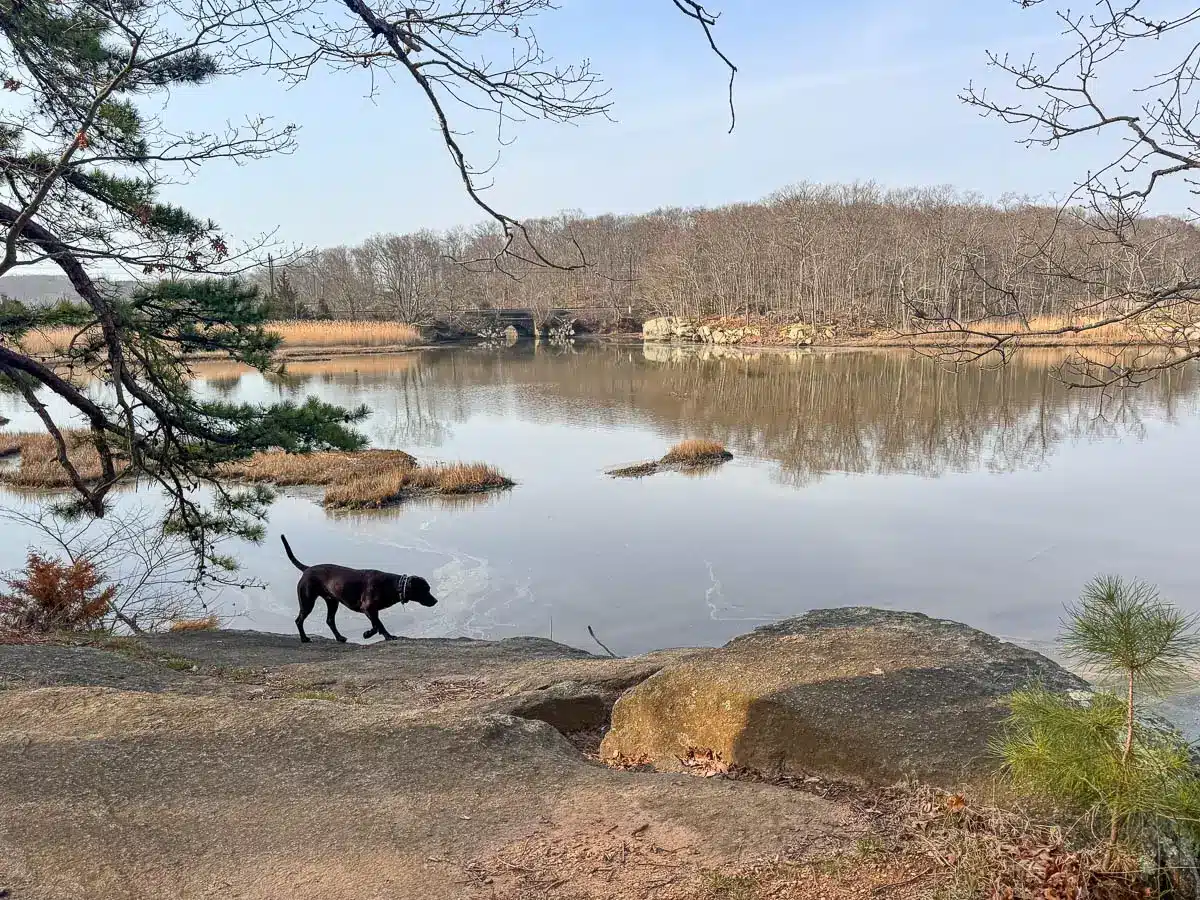
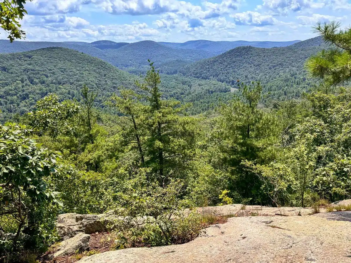
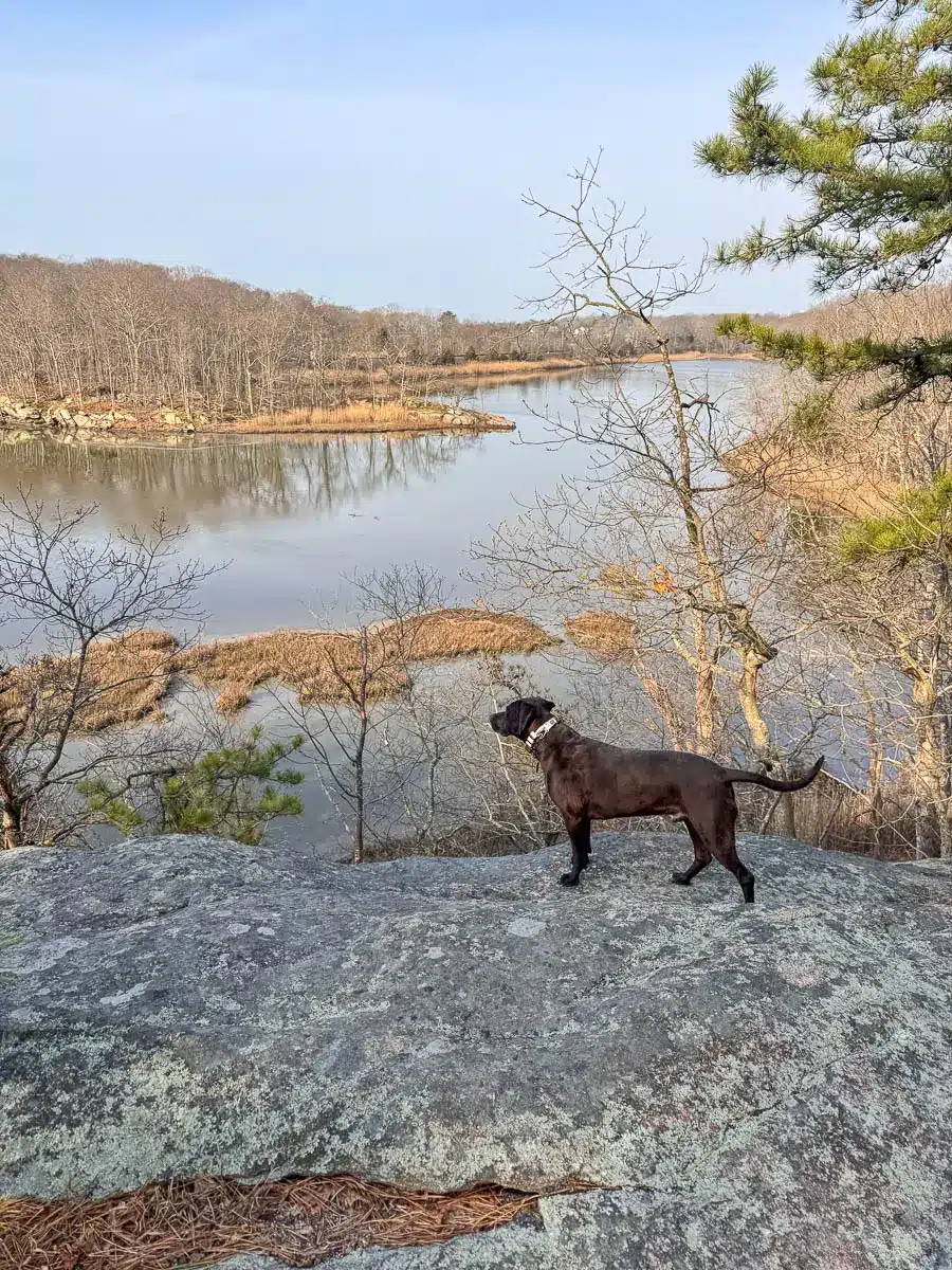
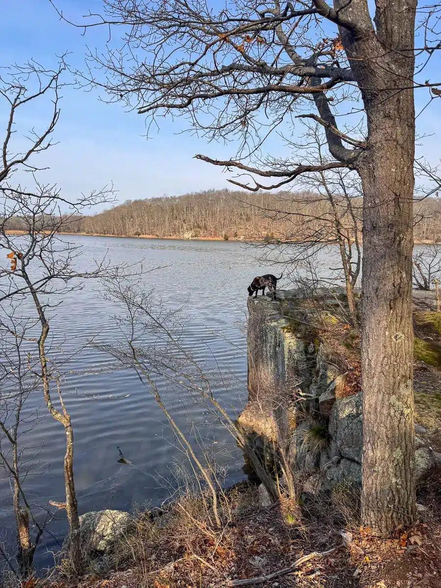
This first part of the loop along the lake is scenic but is also the more challenging section with a rocky shoreline. Though no big inclines here, the stones provide large steps along the way. At 1.8 miles you’ll arrive at the northern tip of Lost Lake with one last sweeping view of the whole lake.
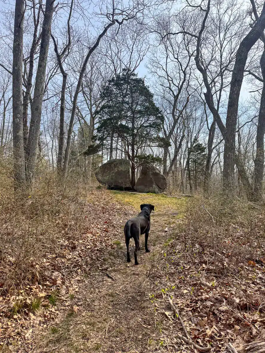
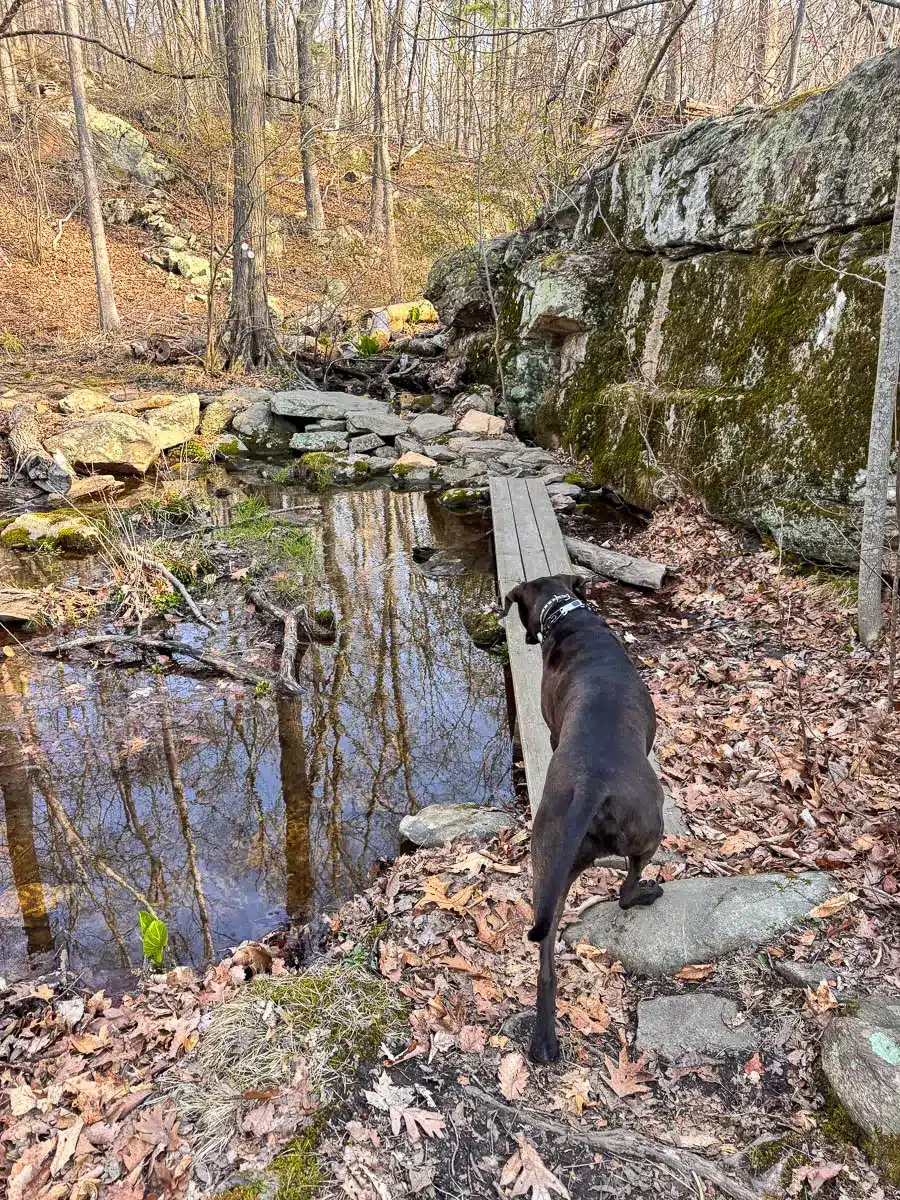
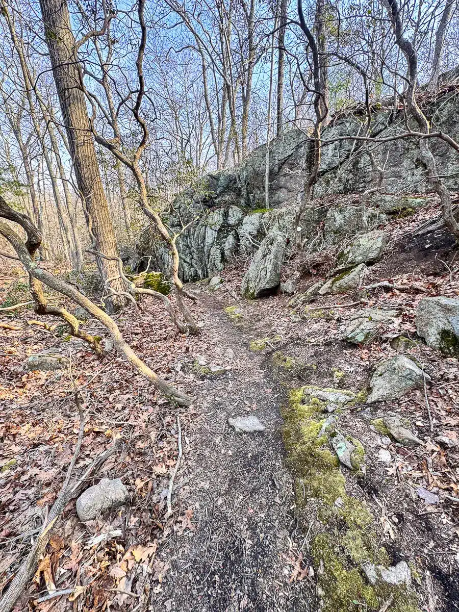
After the view, you’ll pick up a short connector trail to get back onto the White Trail system which takes you in the woods on the back portion of the loop. This trail is much smoother and you and the dogs will be glad you saved an easy walk out for last!
TURN-BY-TURN DIRECTIONS 🧭
With over 30 miles of trails for biking and hiking here – it can be tricky to know what to follow. But with this trail guide below you can navigate confidently! 🙂
To sum it up; you’re going to take the white square trail to the white circle trail and back to white square trail on the way out. Let’s go! ⬇️⬇️

- From the parking area, find the trailhead and begin on the white-blazed trail following the sign for Sam Hill Road.
2. At 0.3 miles, bear left on the White Circle Trail. You’ll be walking close to railroad tracks here so keep dogs close!
3. At 0.31 miles, bear left on the White Square Trail.
4. At 0.6 miles, the trail bends to the right away from the lake. Continue to stay on the White Square Trail.
5. At 0.9 miles, continue staying on the White Square Trail as it bends to the left.
6. At 0.91 miles, take a sharp left onto the White Circle Trail.
7. At 1.2 miles, bear left onto the White Square Trail.
8. At around 1.7 miles, there will be White Circle blazes on the trees as the White Circle and White Square Trail merge.
9. At 1.8 miles, arrive at the expansive view facing southwest over Lost Lake.
10. At 1.82 miles, bear right on the Orange Circle Trail.
11. At 1.9 miles, turn right onto the orange and white blazed trail and continue staying to the right.
12. At 2 miles, begin to see White Circles as you merge with the White Circle Trail. Continue on the White Circle Trail.
13. At 2.35 miles, bear left to continue on the White Circle Trail, the lake will be on the right.
14. At 2.45 miles, bear left onto the White Square Trail.
15. At 2.65 miles, turn left and continue following the White Circle Trail which will lead out to the parking lot.
I hope you enjoyed your hike at Westwoods all along Lost Lake!
There is more to explore here in Westwoods (a cave and maybe a waterfall?) so I plan to be back for a longer loop starting from a different entrance one day!
Leave any comments, questions, or advice below. :))
Happy hiking! 🥾🥾