Top 10 Hikes in Connecticut With the Best Views!
Ok friends, it’s about time I wrote this post. I’ve been writing about amazing hikes in Connecticut on my blog for years now but have yet to make a top 10 list.
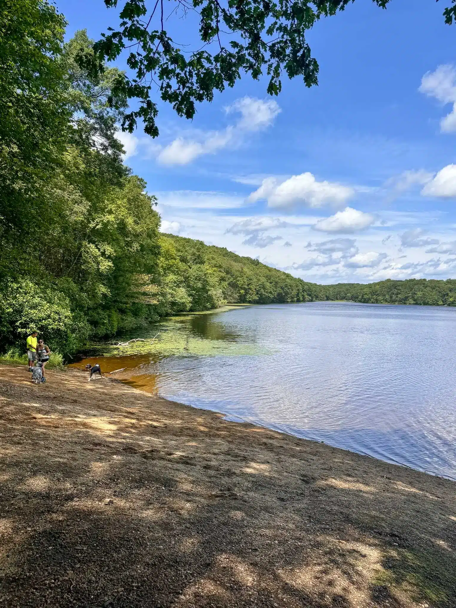
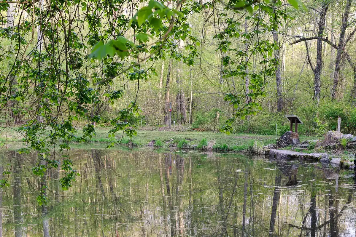
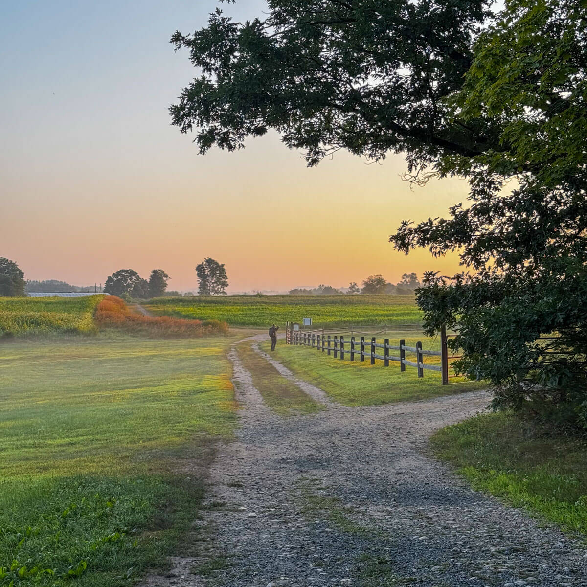
I’ve written separate articles about the best sunrise hikes, sunset hikes, short hikes, waterfall trails, river trails, farm trails, and hikes with water views – all in Connecticut!
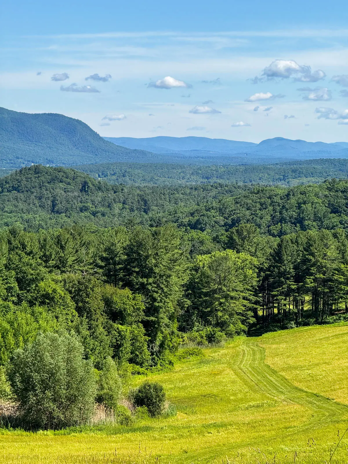
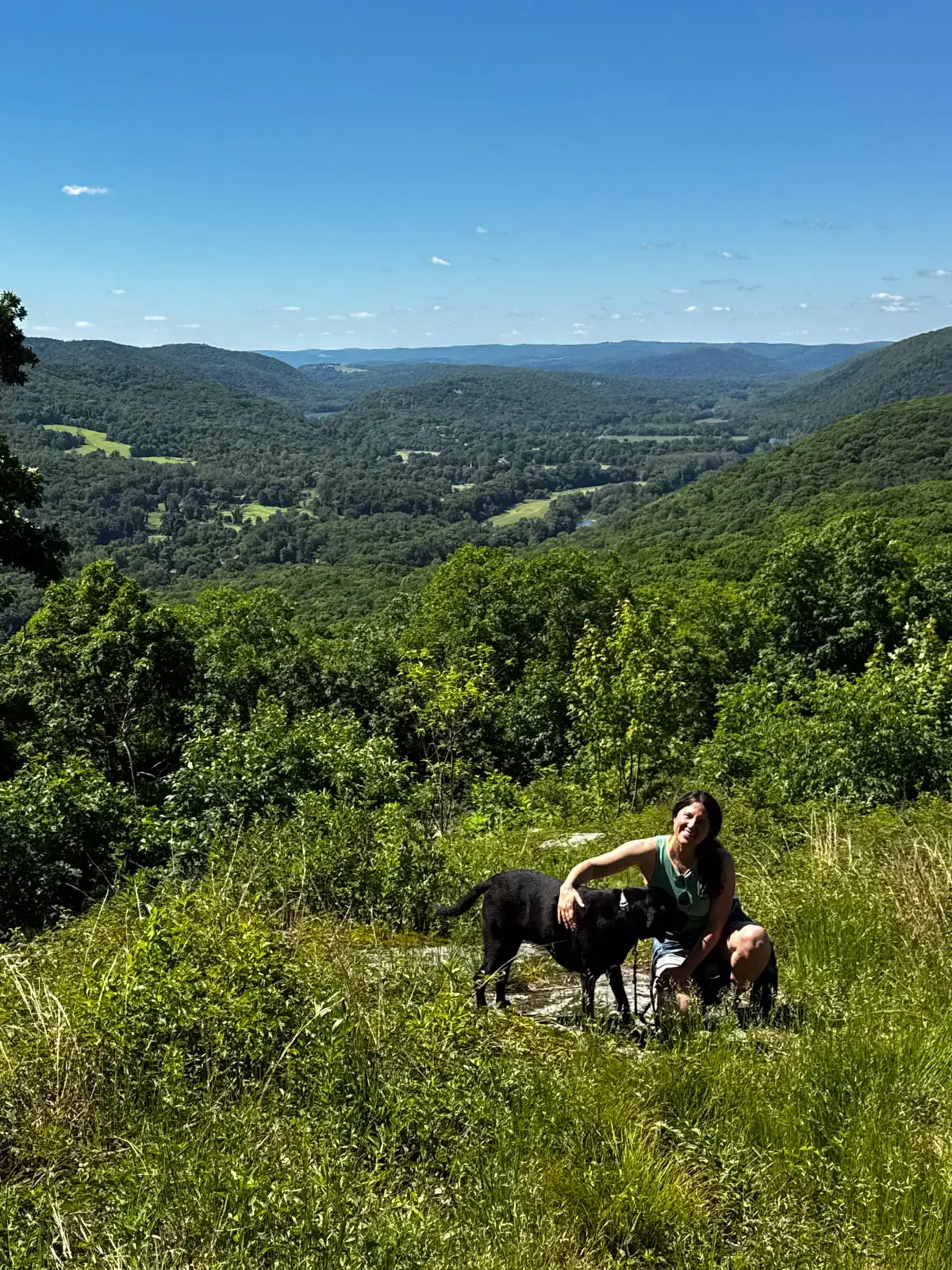
But this is the first time I’m sitting down top compile a very best hikes in CT list. That is – what are the best views in the state? The best all around trail experiences?
If you were to bring a friend from out of state and wanted to impress them with an amazing view, where should you bring them? Or if you’re visiting from out of state and you have to pick one hike – where do you go?
Those answers led me to make this list which was easy for me to put together considering I’ve grown up in Connecticut and have hiked here almost my whole life.
But I also wanted to keep it to a true “best of CT” list and keep it to 10 . So if I think another hike I must knock one off the list! Because while there are so many scenic and pretty trails worth walking in CT, I want the ultimate here.
Now most of these hikes are in the northwest part of Connecticut. That’s the area with the most elevation change and hills and mountains while the eastern part of CT is flatter.
So without further delay – let’s get to it! And be sure to come back and check out more posts about great hikes in Connecticut below:
10 Must-Do Hikes in Connecticut
Map of the hikes:
1. Rands View, Salisbury
- 🥾Miles & Difficulty: 6 miles out & back, Moderate
- 📈Elevation Gain: 1,200 ft
- 🚙Parking: Google maps directions
- 🌟Highlights: Views from Mount Prospect, views from Rand’s View
- 🗺️ AllTrails Link 🔗
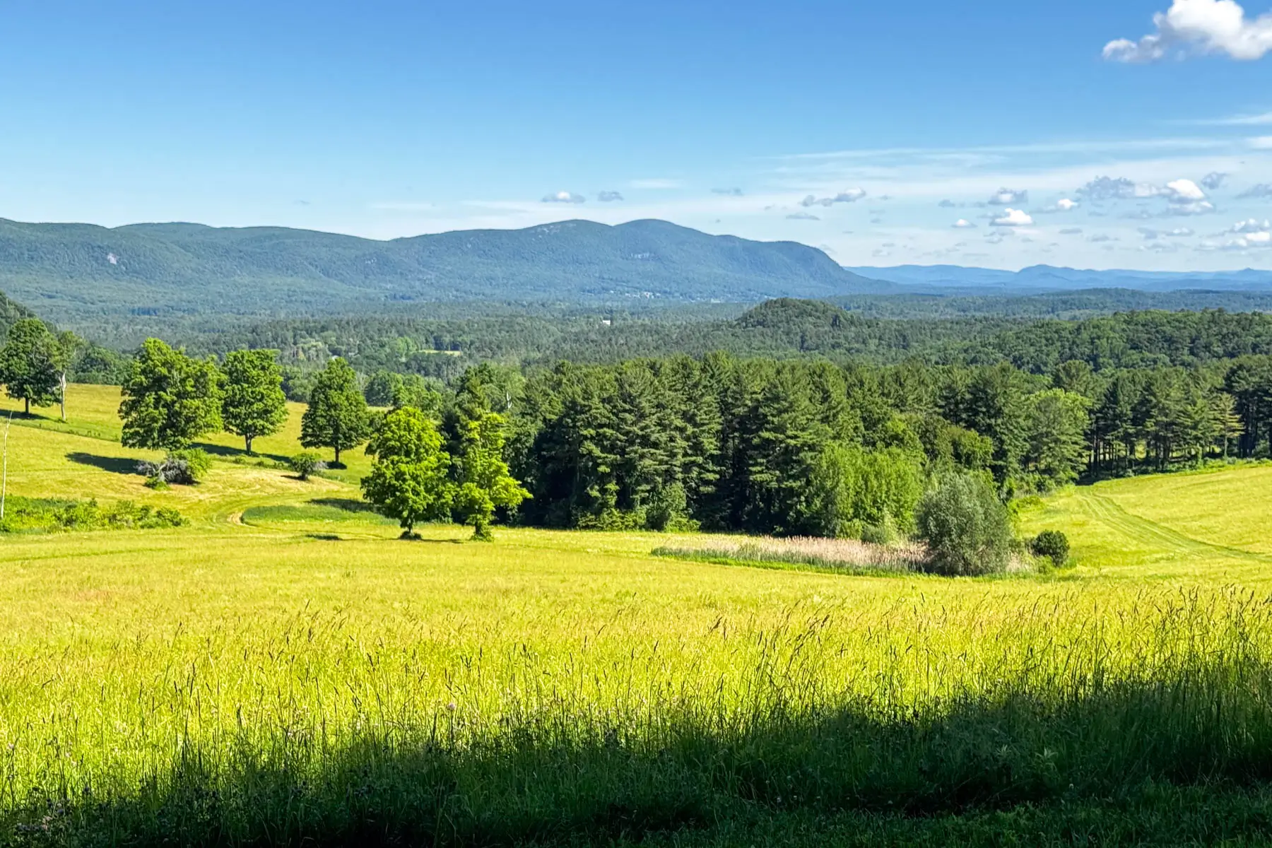
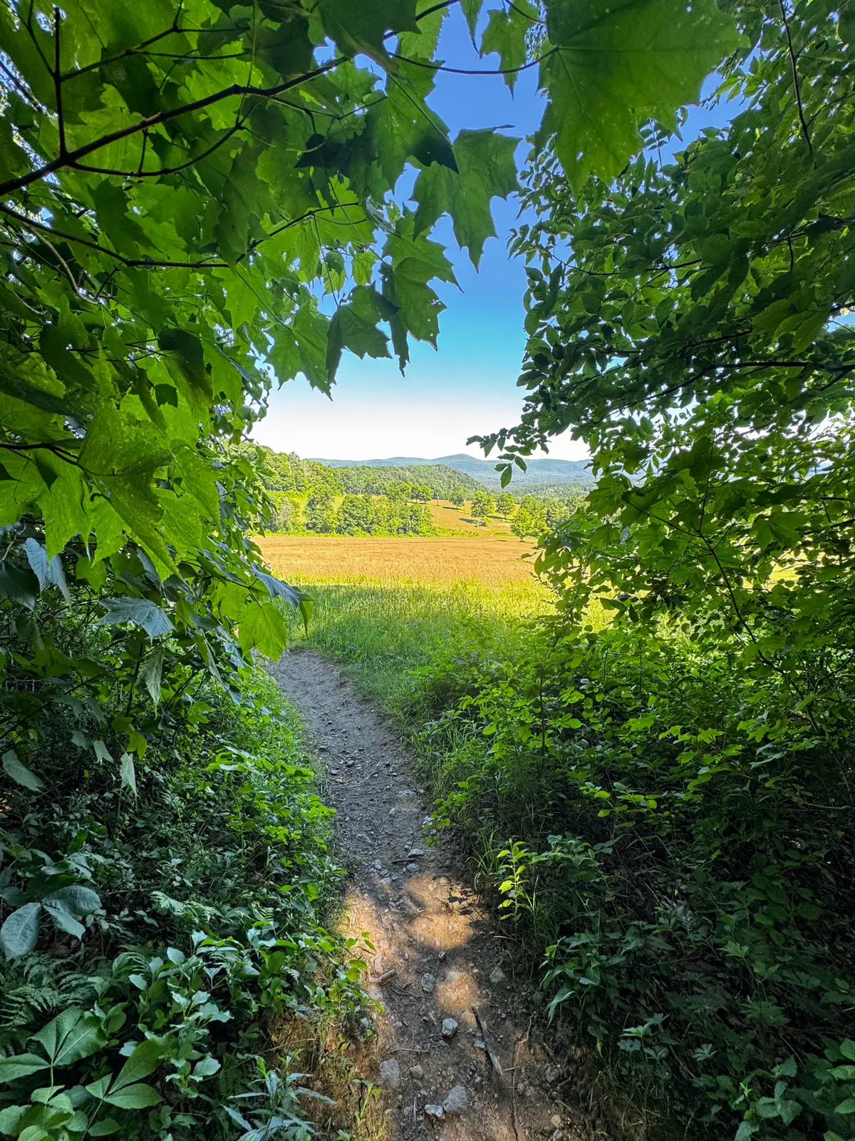
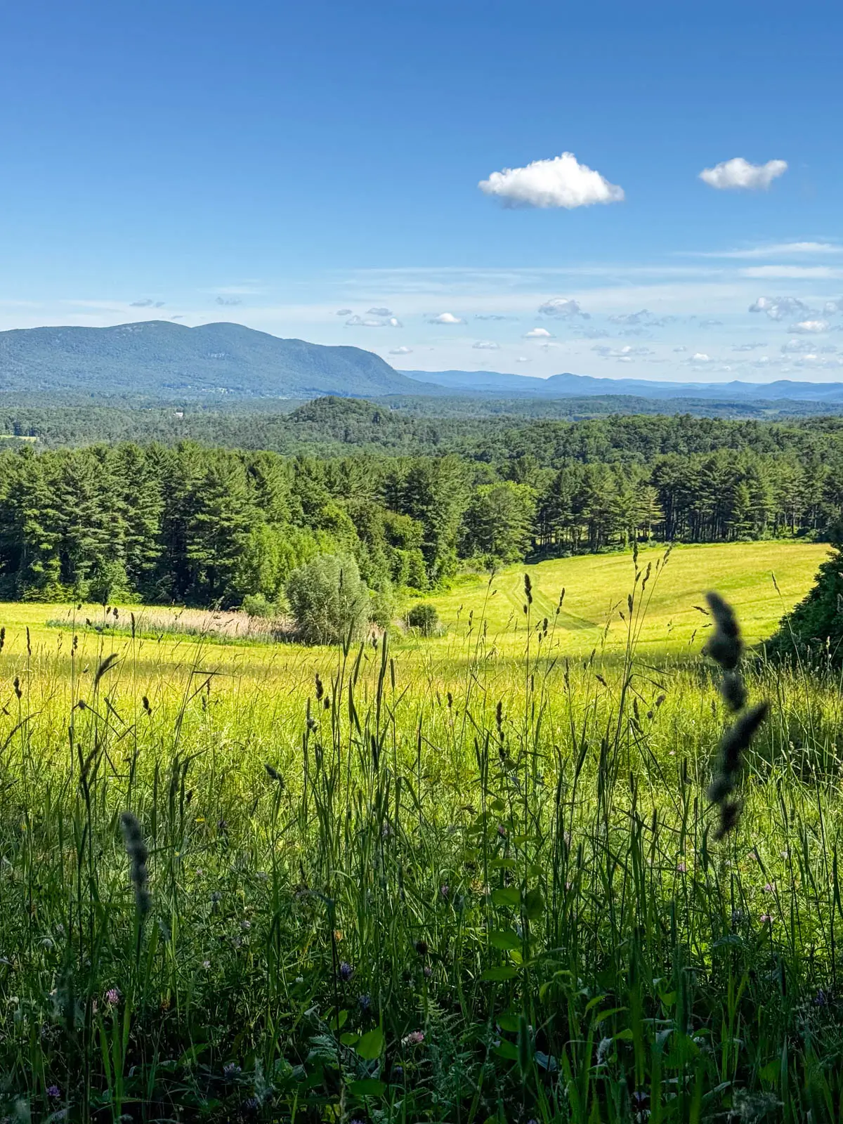
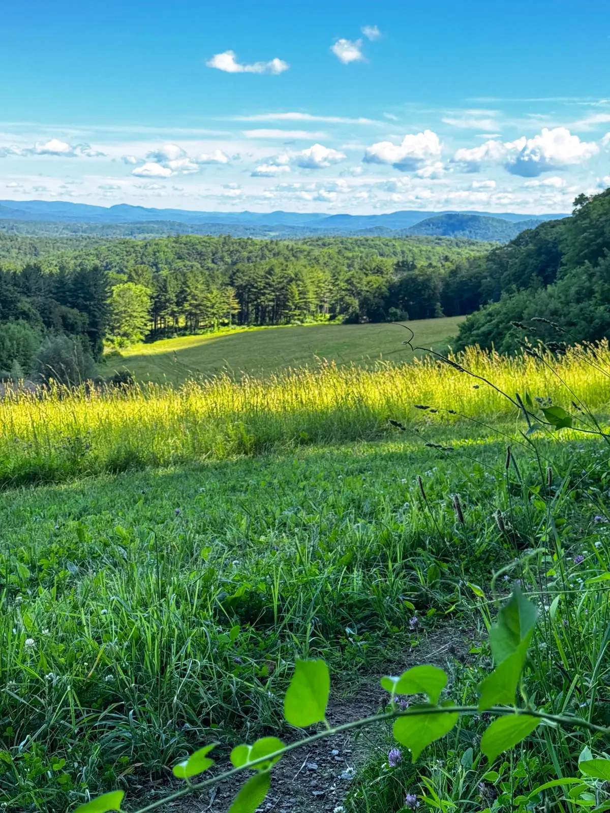
The hike to Rand’s View and the view there is one you won’t forget. One minute you’re walking along the Appalachian Trail and the next you see a little opening in the trees.
Getting closer and closer you see this whole panoramic view open up. Meadows, the hills of Bear and Everett in the distance, it’s like something out of The Sound of Music!
I also love the little view you get a couple miles in at Mount Prospect. It’s a gorgeous part of the state and great workout that feels satisfying but not too difficult with 1,200 feet of elevation gain spread over 6 miles.
I also like that this hike is easy to follow since you will be following the white blazes of the Appalachian Trail the whole time. Three miles in to an amazing wide open view, then turn around to head back to your car. A must-do Connecticut hike! 🥾
2. Pine Knob Lookout, Cornwall
- 🥾Miles & Difficulty: 2.6-mile loop, Moderate
- 📈Elevation Gain: 770 ft
- 🚙Parking: Google maps directions
- 🌟Highlights: Two views, one big view facing southeast over Housatonic River Valley, plus Hatch Brook Falls 💦
- 🗺️ AllTrails Link 🔗
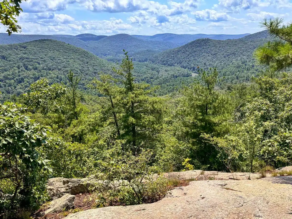
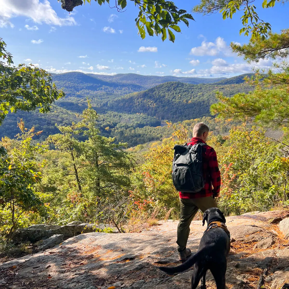
The Pine Knob loop is a bit shorter at just 2.6 miles but it’s packed with scenery. It feels like you’re hiking through a magical park here.
You’ll start by hopping rocks across Hatch Brook then, taking the loop clockwise, you’ll walk up and along Hatch Brook Falls for about a mile. As you walk the gradual elevation the brook and falls are on your left.
Getting higher each pool of water or mini waterfall steals your attention from the trail. The dogs love splashing around here. Then, continuing on the loop you’ll encounter two different views out across the Housatonic River Valley.
A sea of rolling hills with the Housatonic River running through it, this is a top hike and view in CT!
3. Cobble Mountain, Kent

- 🥾Miles & Difficulty: 3.5-mile loop (Hard) or 6.4-mile loop (Hard)
- 📈Elevation Gain: 853 ft or 1,700 ft
- 🚙Parking: Google Maps directions
- 🌟Highlights: Wide open views from Cobble Mountain plus more views from smaller peak
- 🗺️ AllTrails link for shorter loop, AllTrails Link for longer loop🔗
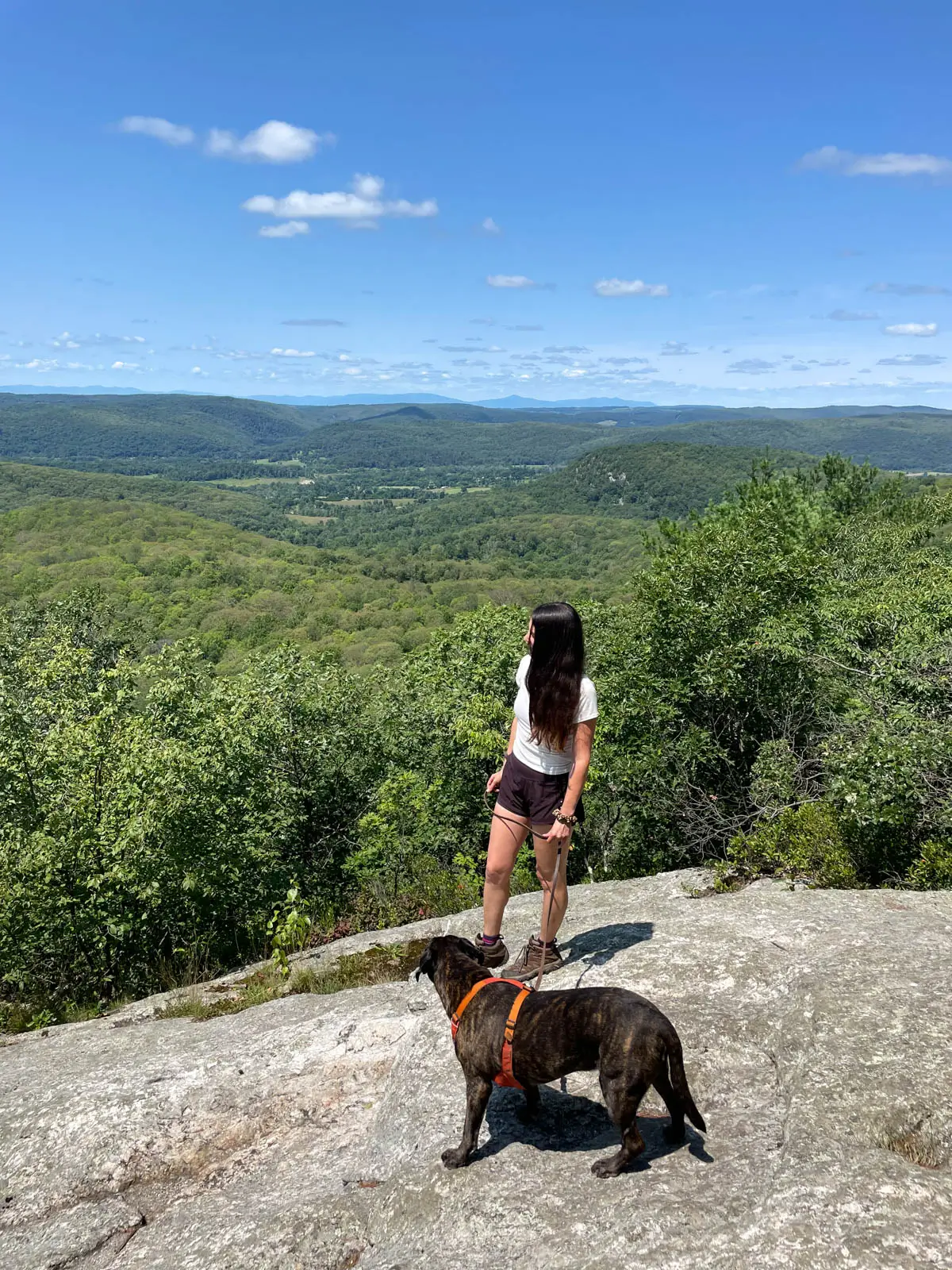
If you’ve never been to Macedonia Brook State Park – you’re in for a treat! Driving through the winding country roads of Kent, you’ll pull down Macedonia Brook Road with the rolling Macedonia Brook running alongside you. It feels like you’re entering a dream land!
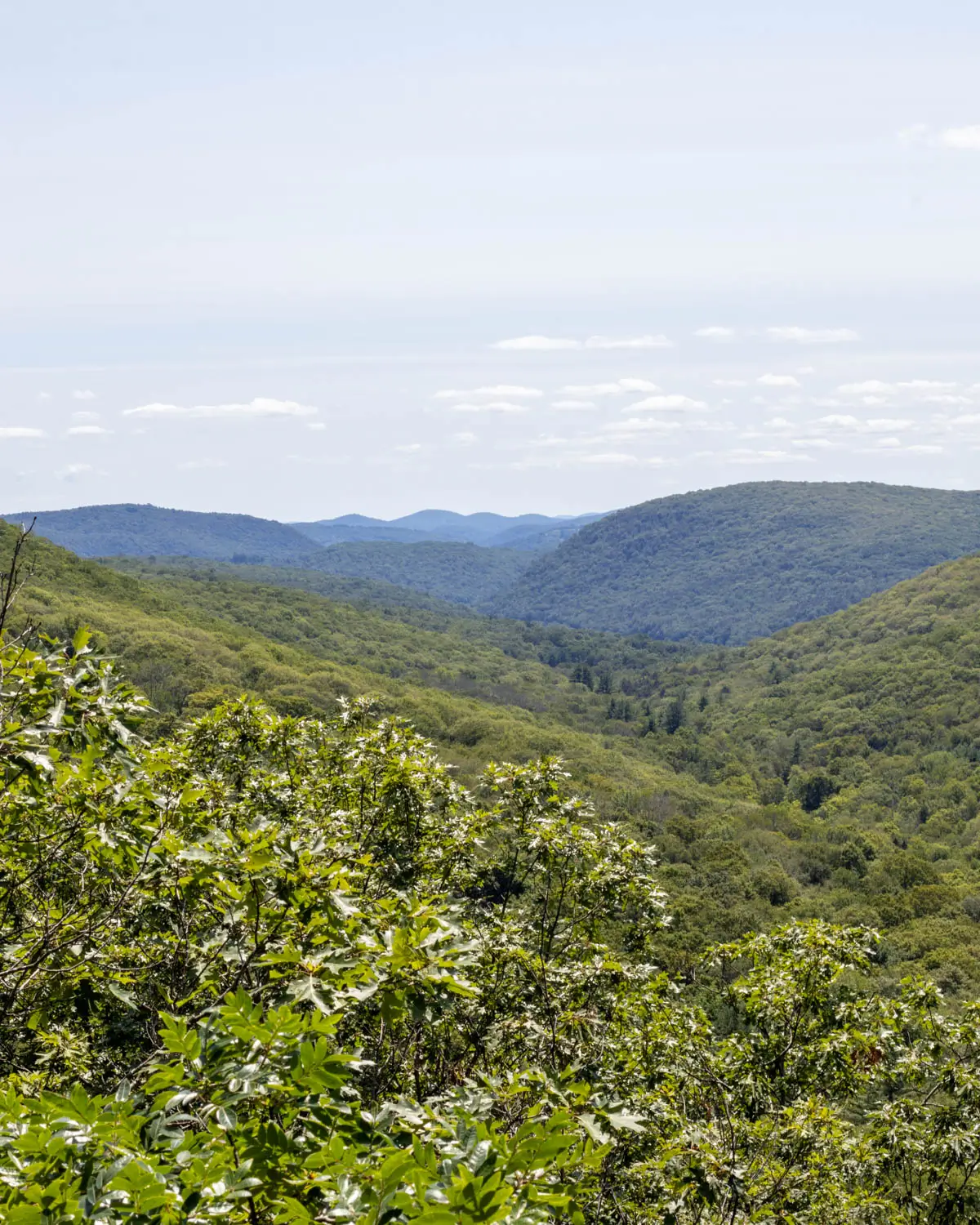
There are several different trails and routes you can take in this 2,300-acre state park. I included two different hikes above, one shorter and one longer loop. Both routes take you to the big view atop Cobble Mountain.
The views are epic and some of the best in Connecticut. You can see all the way to the Catskills on a clear day. The setting in this park makes the whole walk a scenic adventure. On top of the views, you’ll find stonewalls lining the paths, streams, mountain laurel, and a large pond. It’s one not to miss!
4. Bear Mountain, Salisbury

- 🥾Miles & Difficulty: 6.2-mile loop, Hard
- 📈Elevation Gain: 1,686 ft
- 🚙Parking: Google Maps directions
- 🌟Highlights: Tallest mountain in Connecticut!
- 🗺️ AllTrails Link 🔗
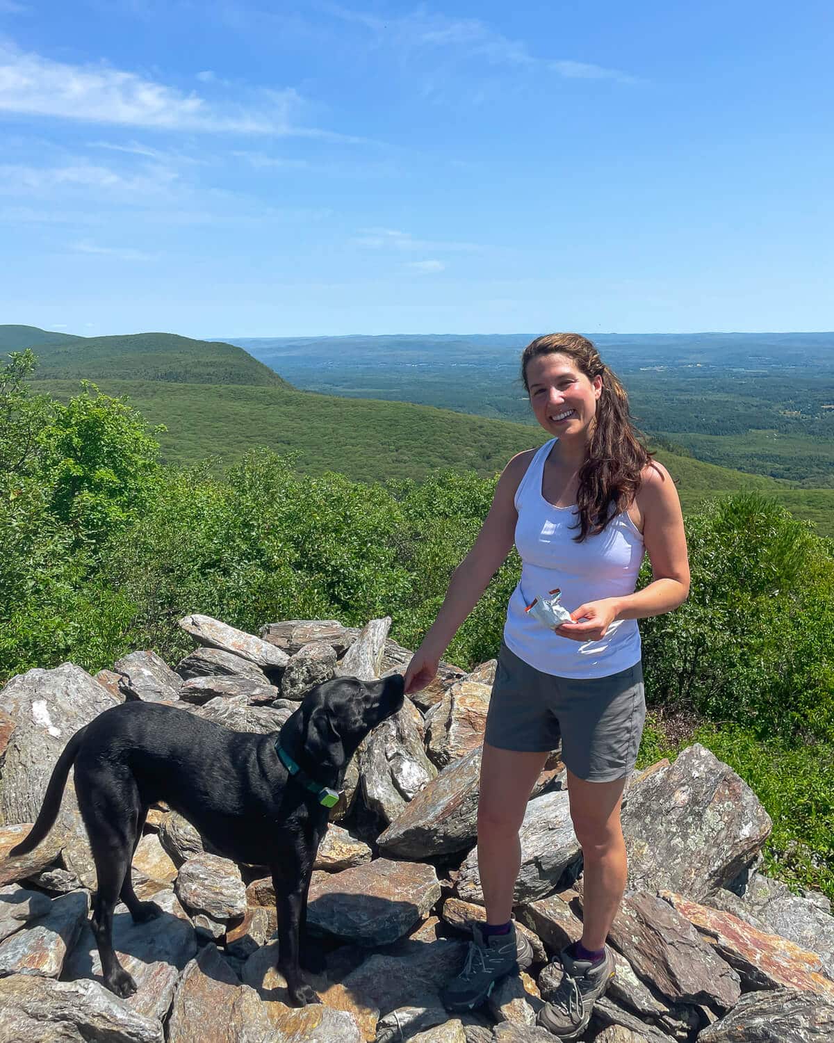
Bear Mountain is the tallest peak in Connecticut at 2,316 feet. It is a more difficult hike but the reward is saying you climbed CT’s tallest mountain 🙂 and also the beautiful views across the Taconic Mountains and into Massachusetts and New York.
At the summit, you’ll find a large stone cairn (pile of rocks) that has become Bear Mountain’s most recognizable landmarks. The cairn was built by hikers and marks the summit, making it a favorite spot for photos after the climb.
5. Lion’s Head, Salisbury
- 🥾Miles & Difficulty: 4.3 miles out & back, Moderate
- 📈Elevation Gain: 1,154 ft
- 🚙Parking: Google Maps directions
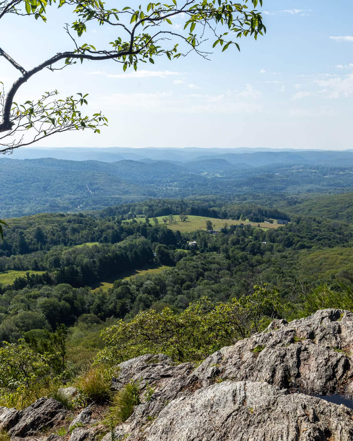
- 🌟Highlights: Short scramble at the top leading to a cliff with wide open views
- 🗺️ AllTrails Link 🔗
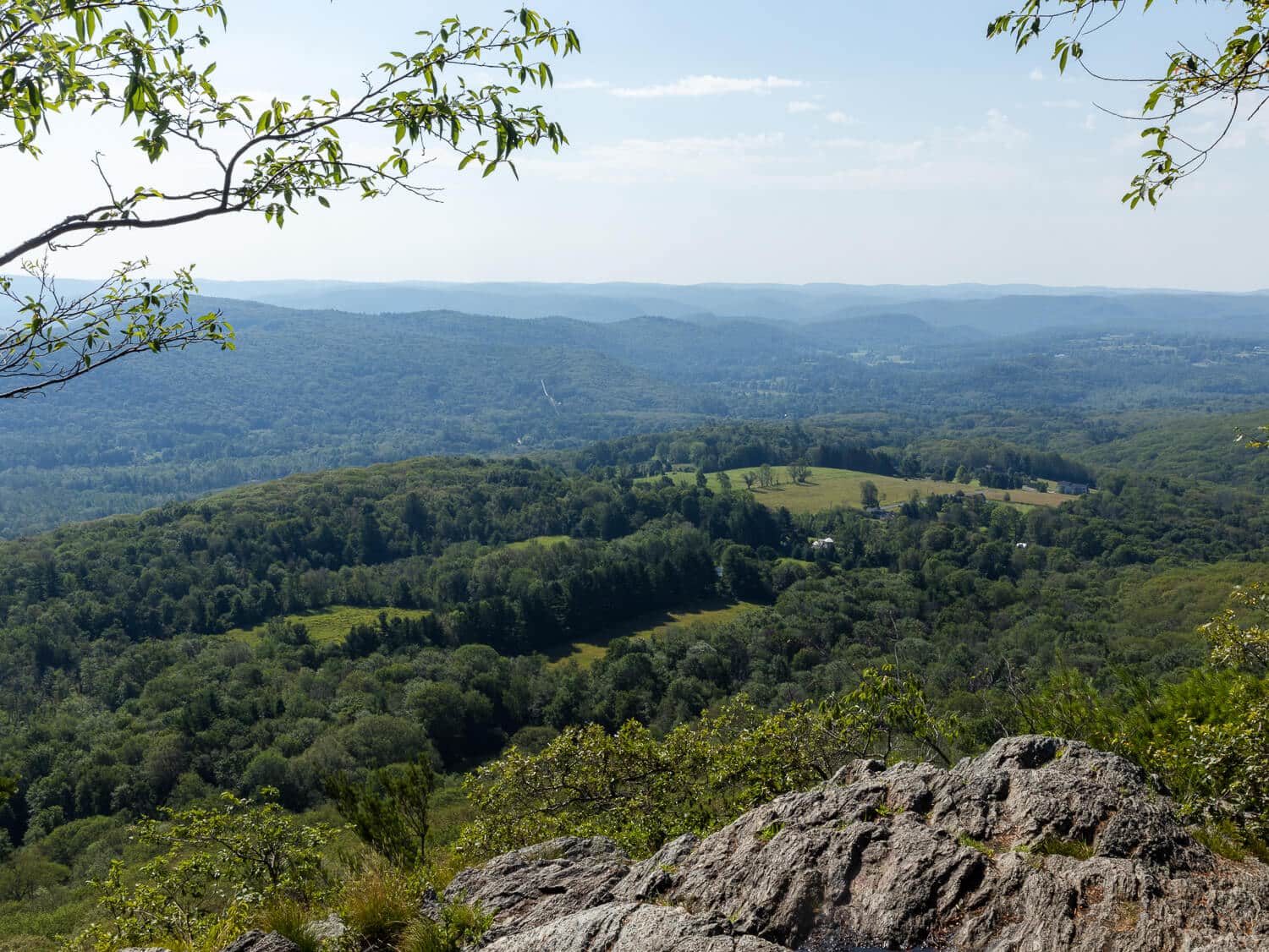
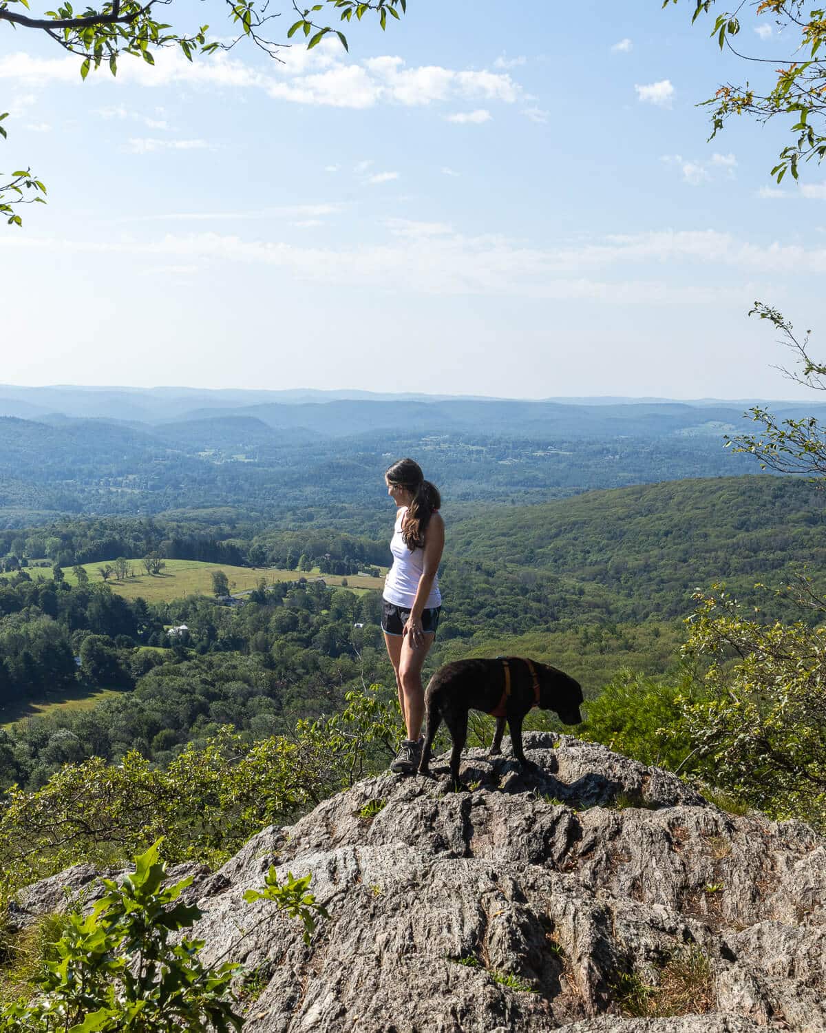
Lion’s Head is another of CT’s most rewarding hikes, offering incredible views for a relatively moderate climb.
Located in Salisbury along the Appalachian Trail, the summit features a dramatic rocky overlook with sweeping views of the Taconic Mountains, Twin Lakes, and the rolling hills of northwestern Connecticut.
There is a short scramble at the top where you will likely have to use your hands. But knowing the view is just yards from you it’s a small price to pay to make it to the top! If you’d like a shorter trail to Lion’s Head try this 2.3-mile route.
Or if you really want a challenge, you can combine Lion’s Head and Bear Mountain in this 8.5-mile route!
6. Meeker Trail at Macricostas Preserve, New Preston

- 🥾Miles & Difficulty: 4-mile loop, Moderate
- 📈Elevation Gain: 708 ft
- 🚙Parking: Google Maps directions
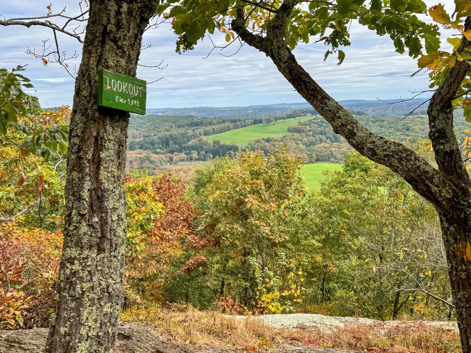
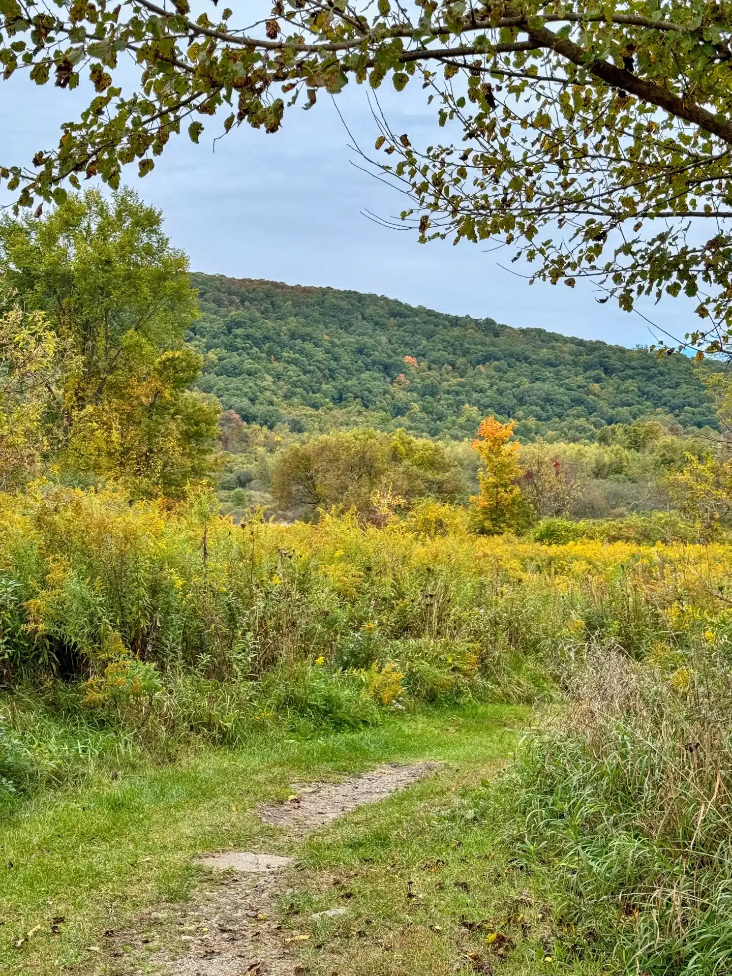
- 🌟Highlights: Meadows, bridges, and view from Waramaug’s Rock facing west over Lake Waramaug
- 🗺️ AllTrails Link 🔗
7. Caleb’s Peak via Fuller Pond, Kent
- 🥾Miles & Difficulty: 4.4-mile loop, Moderate
- 📈Elevation Gain: 620 ft
- 🚙Parking: Google Maps directions
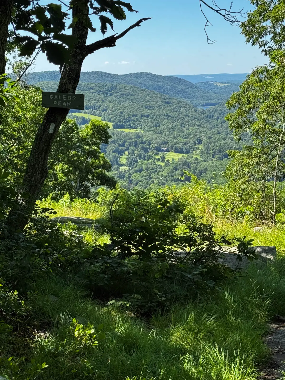
- 🌟Highlights: Fuller Pond plus view from Caleb’s Peak
- 🗺️ AllTrails Link 🔗
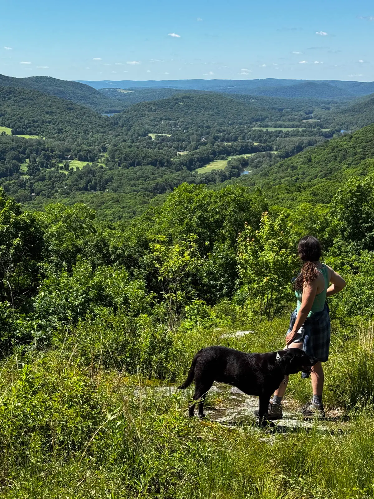
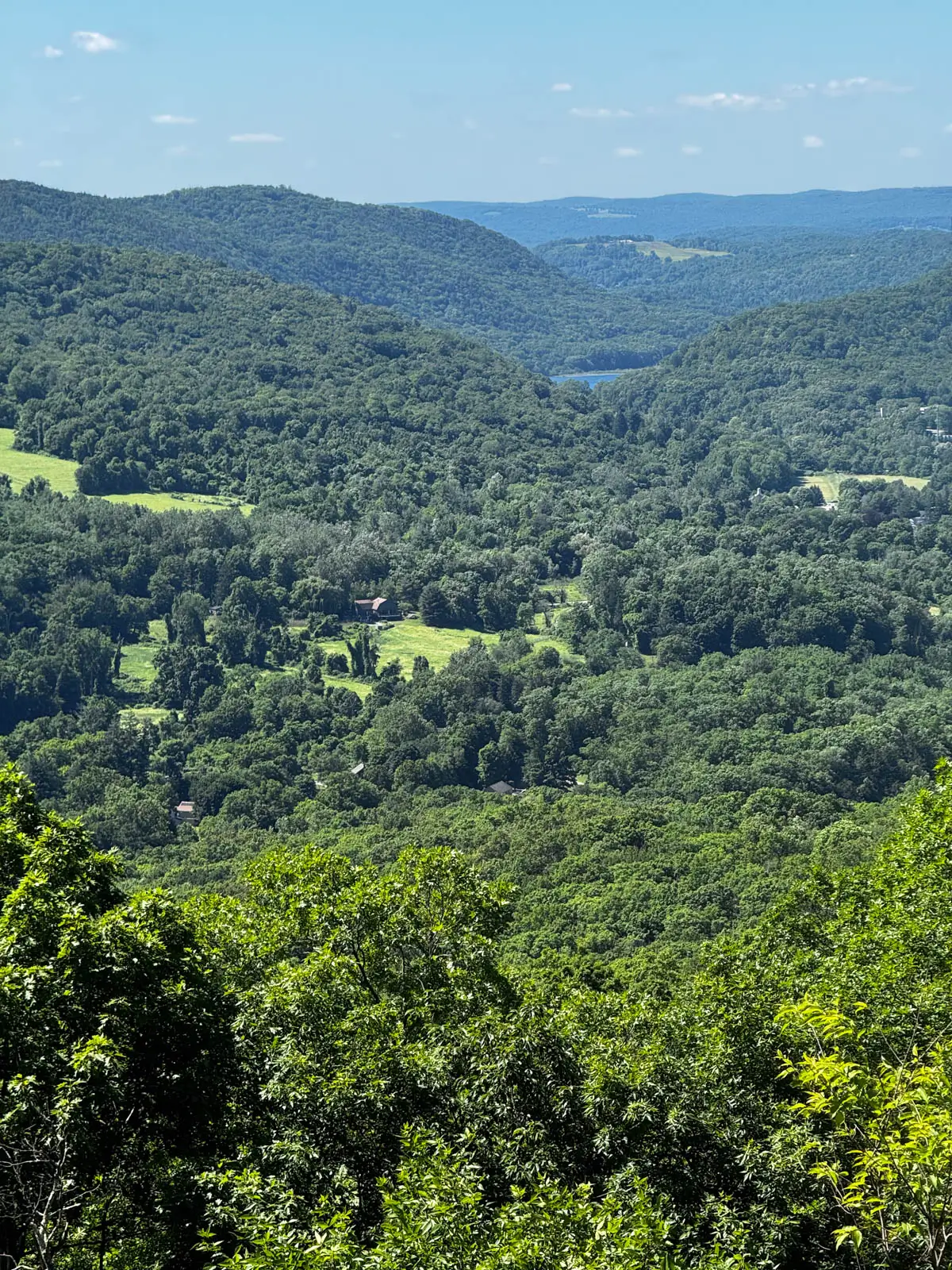
I love how this hike starts at Fuller Pond in Kent. You walk along Fuller Pond which in itself is incredibly scenic.
You’ll then walk along Fuller Mountain Road and then right on Skiff Mountain Road. From there you’ll turn left and link up with the white-blazed Appalachian Trail which takes you to the must-see Caleb’s Peak view. This seemingly endless view stretches out across the Housatonic River Valley.
I’ve done this hike in every season and I never get tired of it seeing it emerge through the woods as your approach. After Caleb’s Peak you’ll cross Skiff Mountain Road again to link back up with the Fuller Pond Trail which will now take you left along the pond to the starting point.
8. Peoples State Forest Loop, Barkhamsted
- 🥾Miles & Difficulty: 6.3-mile loop, Moderate
- 📈Elevation Gain: 1,108 ft
- 🚙Parking: Google Maps directions
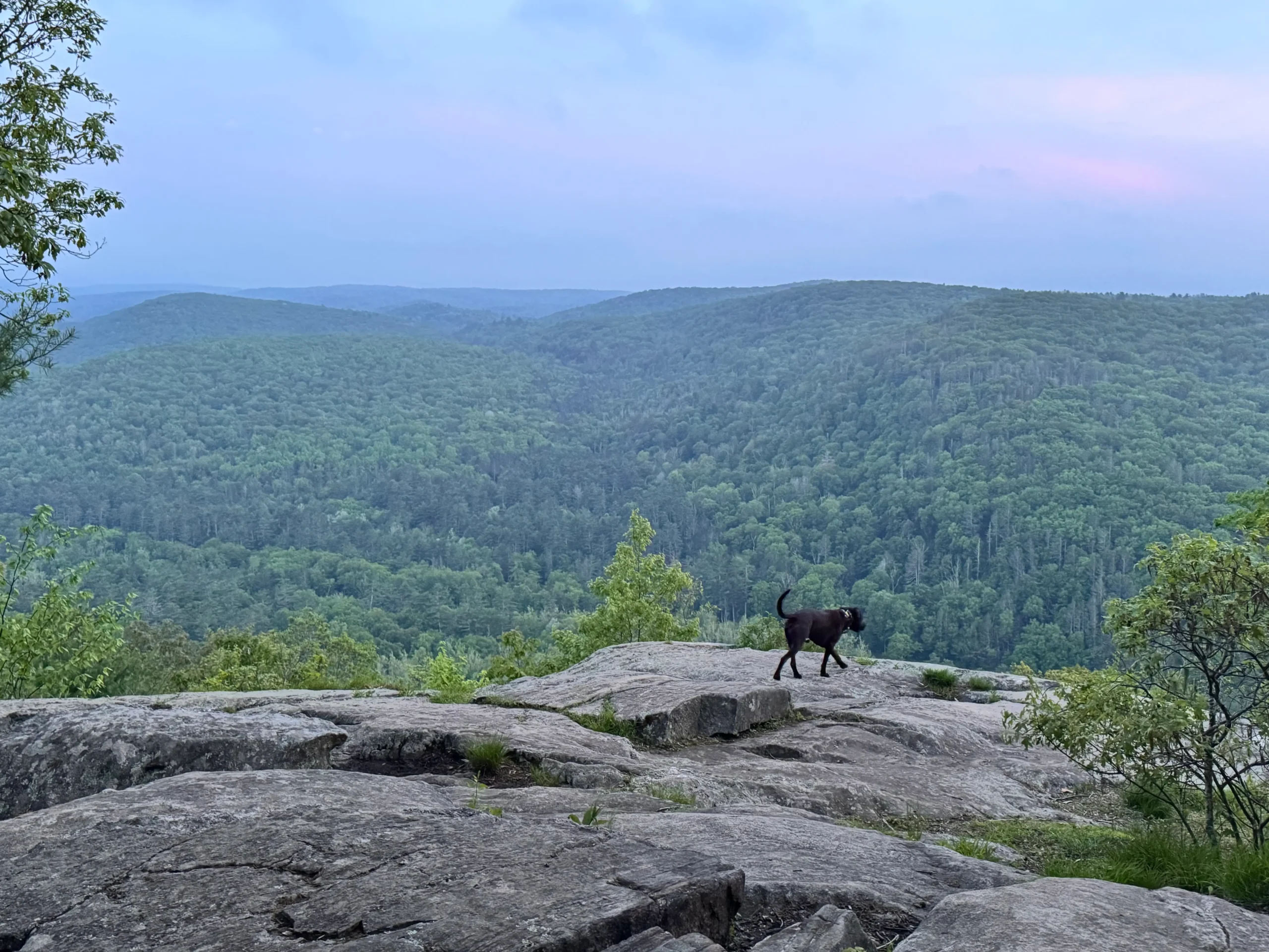
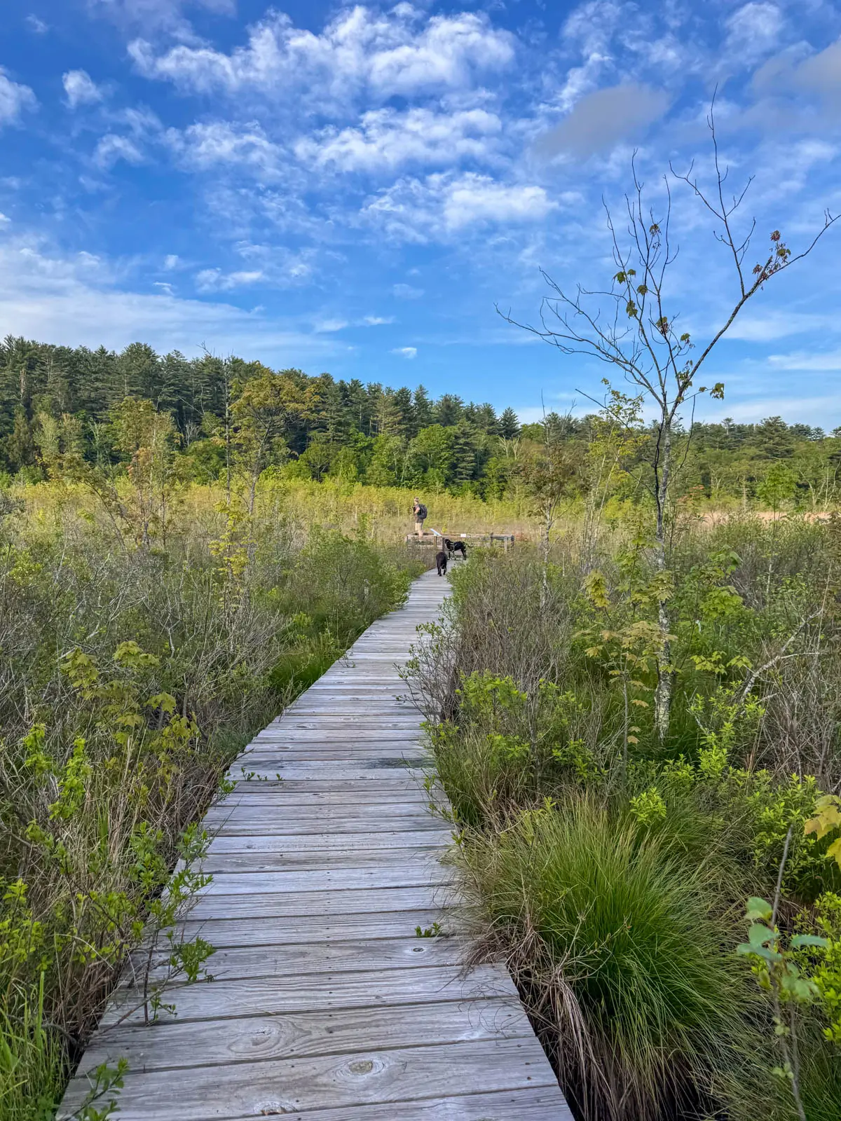
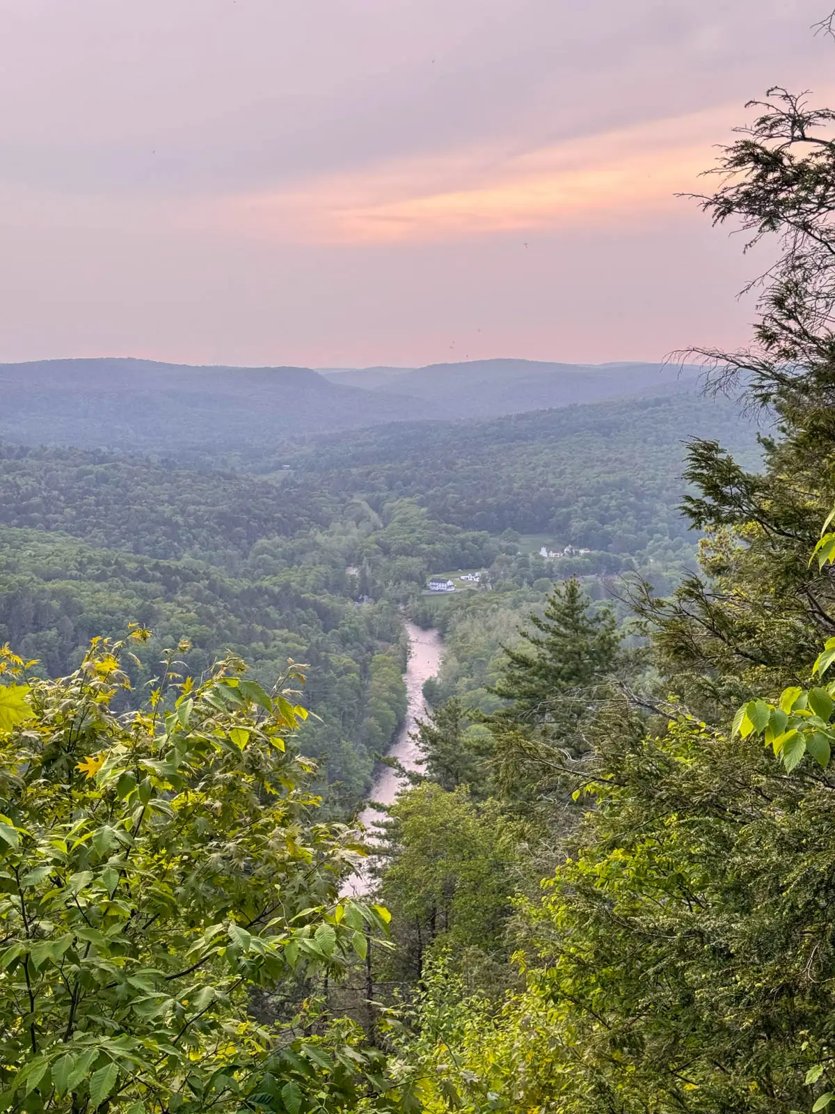
- 🌟Highlights: Big views of the Farmington River and Valley
- 🗺️ AllTrails Link 🔗
9. Sleeping Giant State Park, Hamden



If you live in Connecticut you’ve likely heard of Sleeping Giant. With over 32 miles of hiking trails, Sleeping Giant State Park is one of Connecticut’s premier hiking spots.
The park offers everything from easy walks to the iconic stone observation tower to challenging ridgeline hikes with rock scrambles, scenic overlooks, caves, and one of the state’s most extensive trail networks.
Since there are so many trails to take here I have a whole post dedicated to the top trails at Sleeping Giant. Check it out here ➡️ Top Trails at Sleeping Giant State Park 🌟 and choose the route for you!
10. Giuffrida Park, Meriden

- 🥾Miles & Difficulty: 4-mile loop, Moderate
- 📈Elevation Gain: 764 ft
- 🚙Parking: Google Maps directions
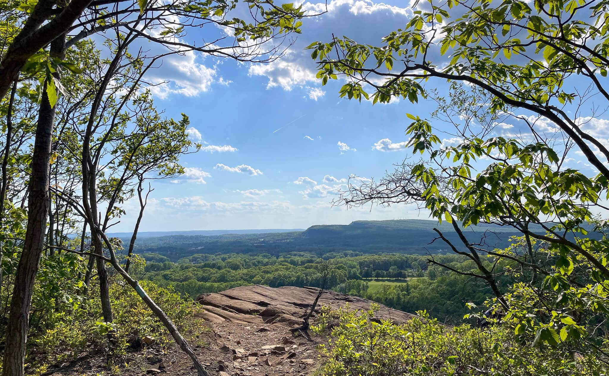
- 🌟Highlights: Bradley Hubbard Reservoir, Lamentation Mountain, Chauncey Peak
- 🗺️ AllTrails Link 🔗
Conclusion
So that’s it, friends. What do you think of this list – which hike are you planning first?
And what Connecticut hikes do you think deserve to be on here that I left off?! I’d love to hear your favorites!
Come back for more pretty hikes and walks in CT. There’s so much to explore in our beautiful state!