Blackledge Falls Hike at Gay City State Park, CT
Embark on an adventurous hike through Gay City State Park, where you’ll find the 25-foot Blackledge Falls, several ponds, and ruins from an 18th-century mill town.
Less than 20 minutes east of Hartford, the capital of Connecticut, you’ll find a 1,569-acre hiking oasis within Gay City State Park which encompasses the towns of Glastonbury, Hebron, and Bolton.
In this post, you’ll find everything you need to know to hike to Blackledge Falls 💦 and complete this 5.44-mile loop if you choose to go beyond the falls. This post includes parking info and turn-by-turn trail directions so you can successfully find your way!
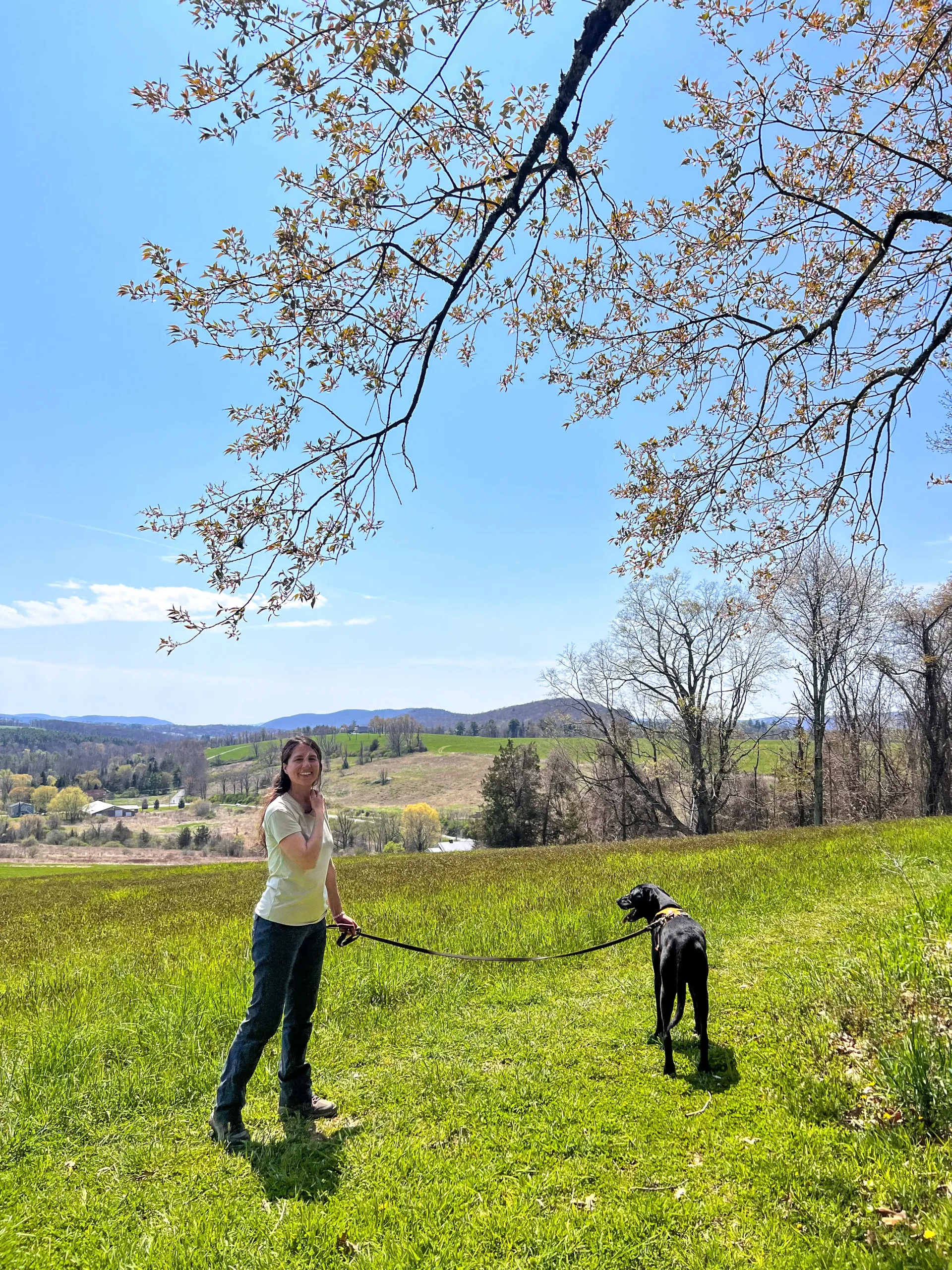
As a lifelong resident of CT who regularly hikes with my dogs, I really enjoyed this hike in early spring. Because of rain and melting snow, there was a steady flow at Blackledge Falls. I visited here in the summer, too, and it was extra beautiful surrounded by all the green! 🍃
➡️If you want more waterfalls, check out my post: 18 Waterfalls in Connecticut!⬅️
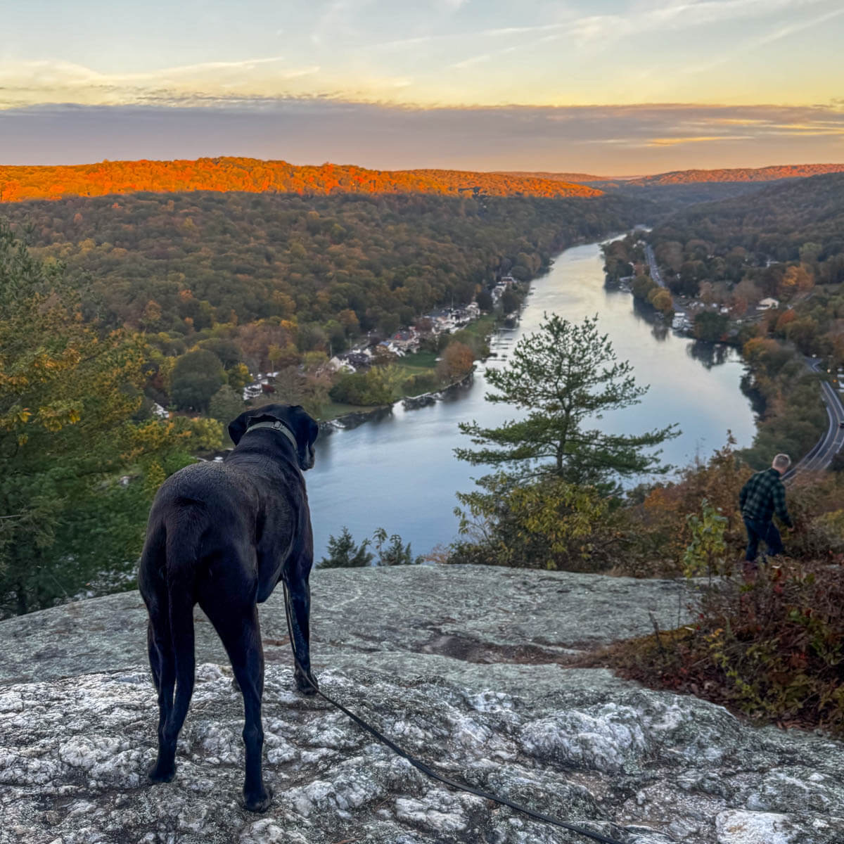
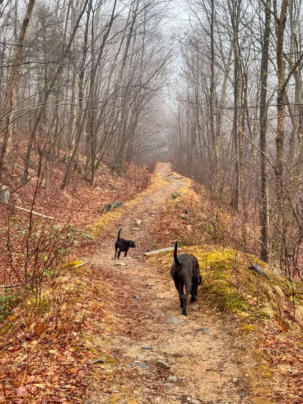
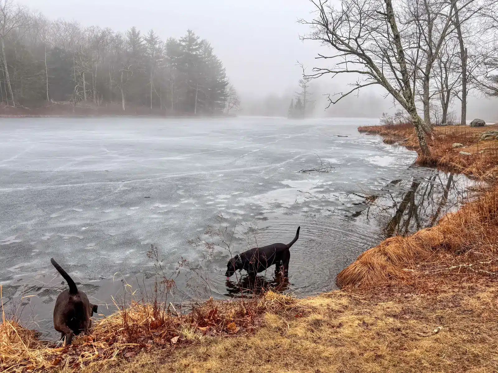
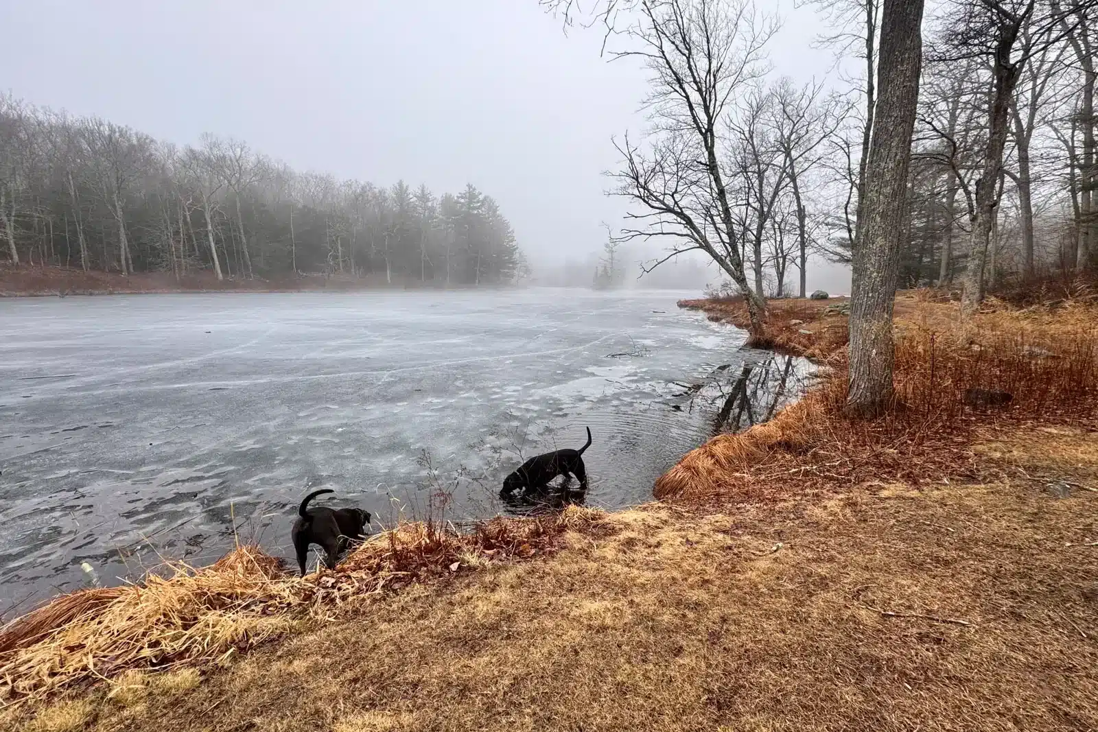
With the waterfall, streams, ruins, and Gay City Pond at the end of the loop, there are plenty of opportunities for water here for the dogs and lots to see. 🐕🐶
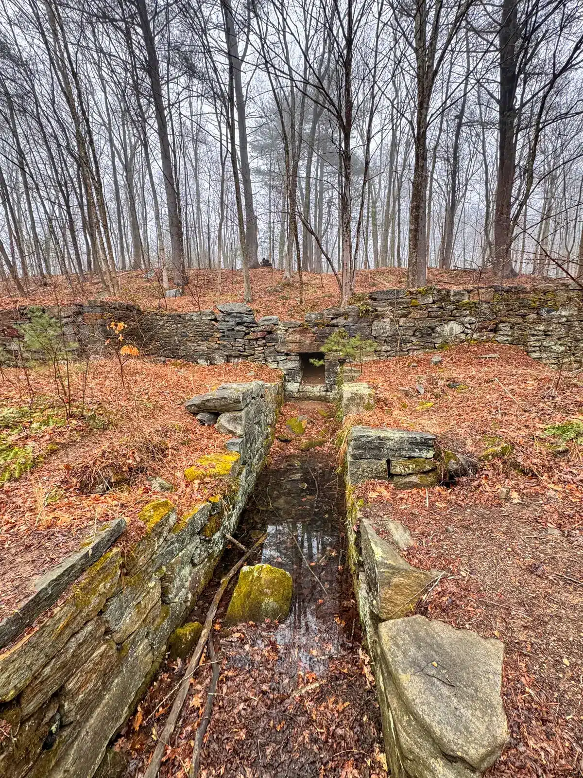
Aside from Blackledge Falls, which you encounter early in the hike, you’ll also find foundations and remnants from the now extinct 1796 mill town that was once here.
So let’s get to it and learn all about hiking Blackledge Falls in Gay City State Park! 🌲👏
🥾Blackledge Falls & Gay City Loop Overview 🥾
- 🥾Miles & Difficulty: 5.44-mile loop, Moderate
- 📈Elevation Gain: 492 ft
- 🚙Parking: Click to navigate here 41.69758, -72.45588
- 🌟Highlights: Blackledge Falls, ruins, ponds for swimming
- 🌲Conditions: Year-round, wide paths, streams, free parking
- 🔗Custom AllTrails Map (the yellow waypoints correspond to the turn-by-turn trail directions further below!)
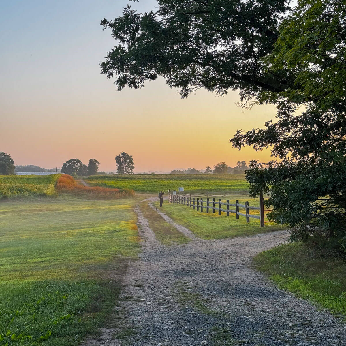
- 🚗 Find the trailhead: From Welles-Turner Memorial Library in downtown Glastonbury, head southeast toward CT-94 W/Hebron Ave. Continue following Hebron Avenue for 8.5 miles until you see the Blackledge Falls sign and entrance to the large parking lot on the left.
- Land Manager: Connecticut Department of Energy and Environmental Protection (DEEP), 79 Elm Street, Hartford, CT 06106-5127. (860)424-3000
🩷WHY YOU’LL LOVE IT💚
- Waterfall, rivers and streams abound
- Stone walls, bridges, and ruins along the way
- Mainly flat and wide paths
🥾Blackledge Falls & Gay City Loop Details 🥾
From the large parking lot along Route 94/Hebron Avenue, you’ll pick up the trail on the left side of the lot, bringing you to the blue-blazed trail. You’ll do a short loop around Blackledge Falls, then pick up the Blackledge Falls Connector trail leading you to a large loop through Gay City State Park ending at the 50+ acre Gay City Pond, where you’ll begin the walk back.
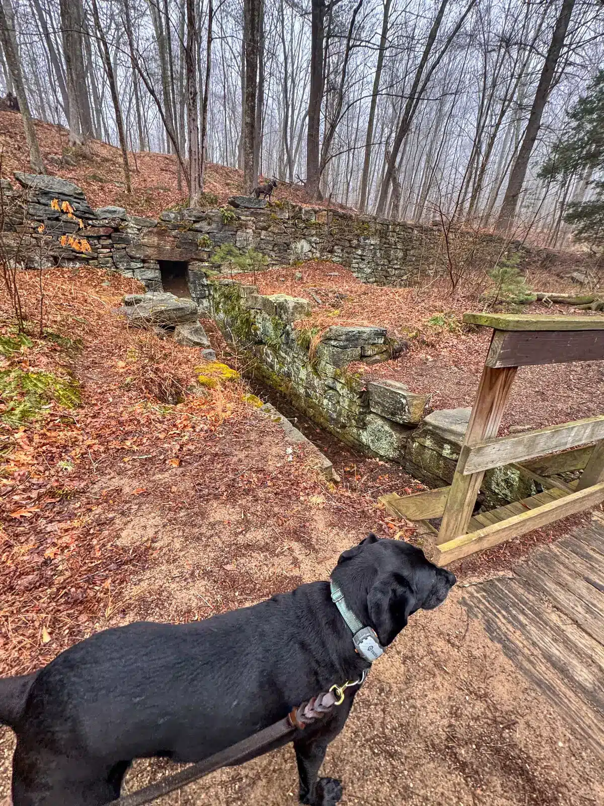
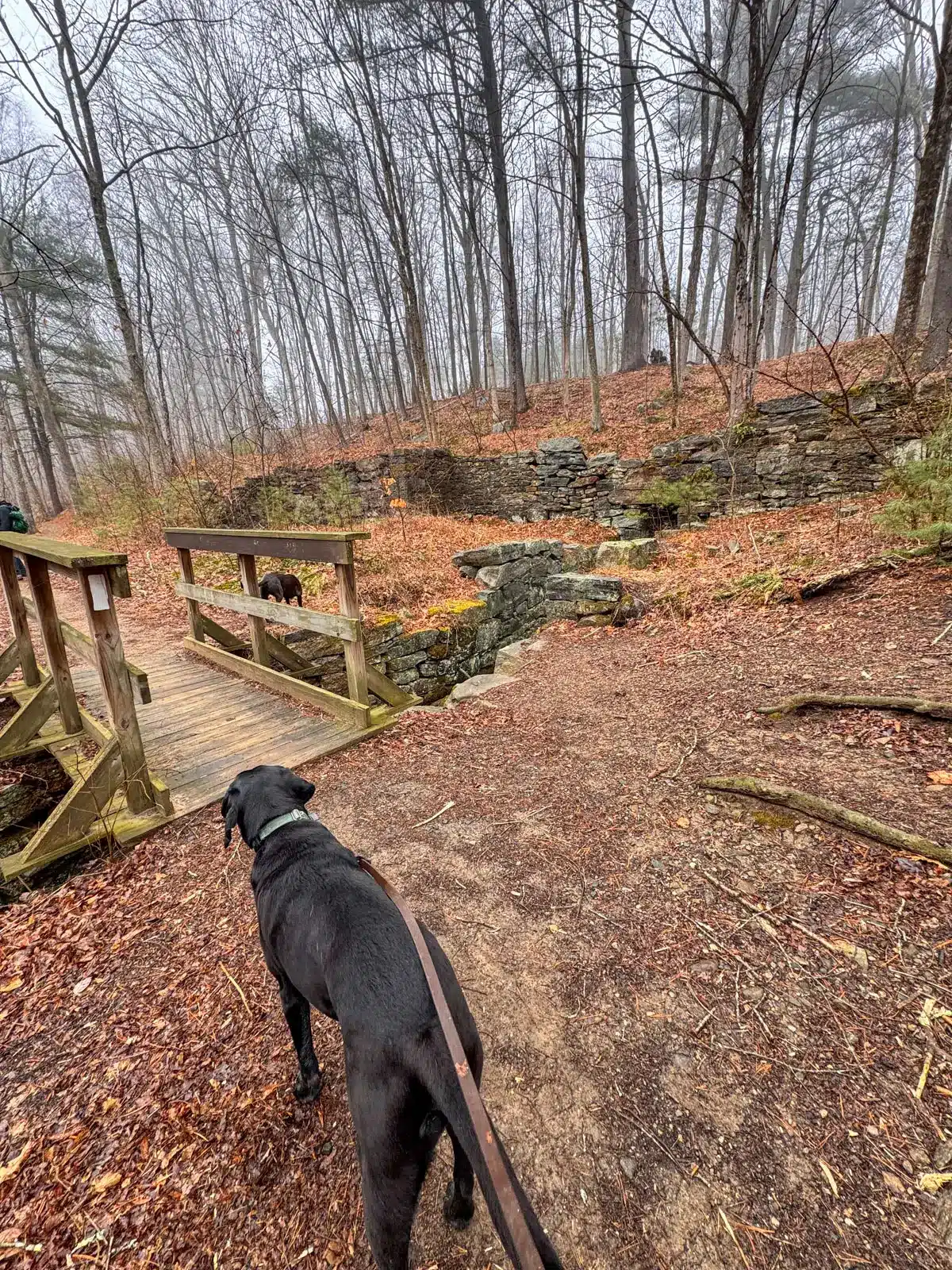
Find old foundations and stone wall remnants along the way. Right before you turn around at Gay City Pond, you’ll find several interesting ruins here, the largest and most intact is from the site of an old woolen mill.
Note that there is a large parking lot at Gay City Pond, the final destination of our hike before we make our way back. We visited on a weekend day in early spring encountering just a few people on the trail. But with picnic tables and grills scattering the lawn around the pond, be prepared for more people as you near the pond.
TURN-BY-TURN TRAIL DIRECTIONS 🧭
1. From the parking lot with your back to Hebron Ave, begin on the trail in the top left corner of the lot (it is on the opposite side of the trail kiosk).
2. At .06 miles, there will be two stream crossings in a row. After crossing the second stream, bear left to start on the light blue-blazed trail.
3. At 0.23 miles, come to a fork and take a left continuing on the light blue trail.
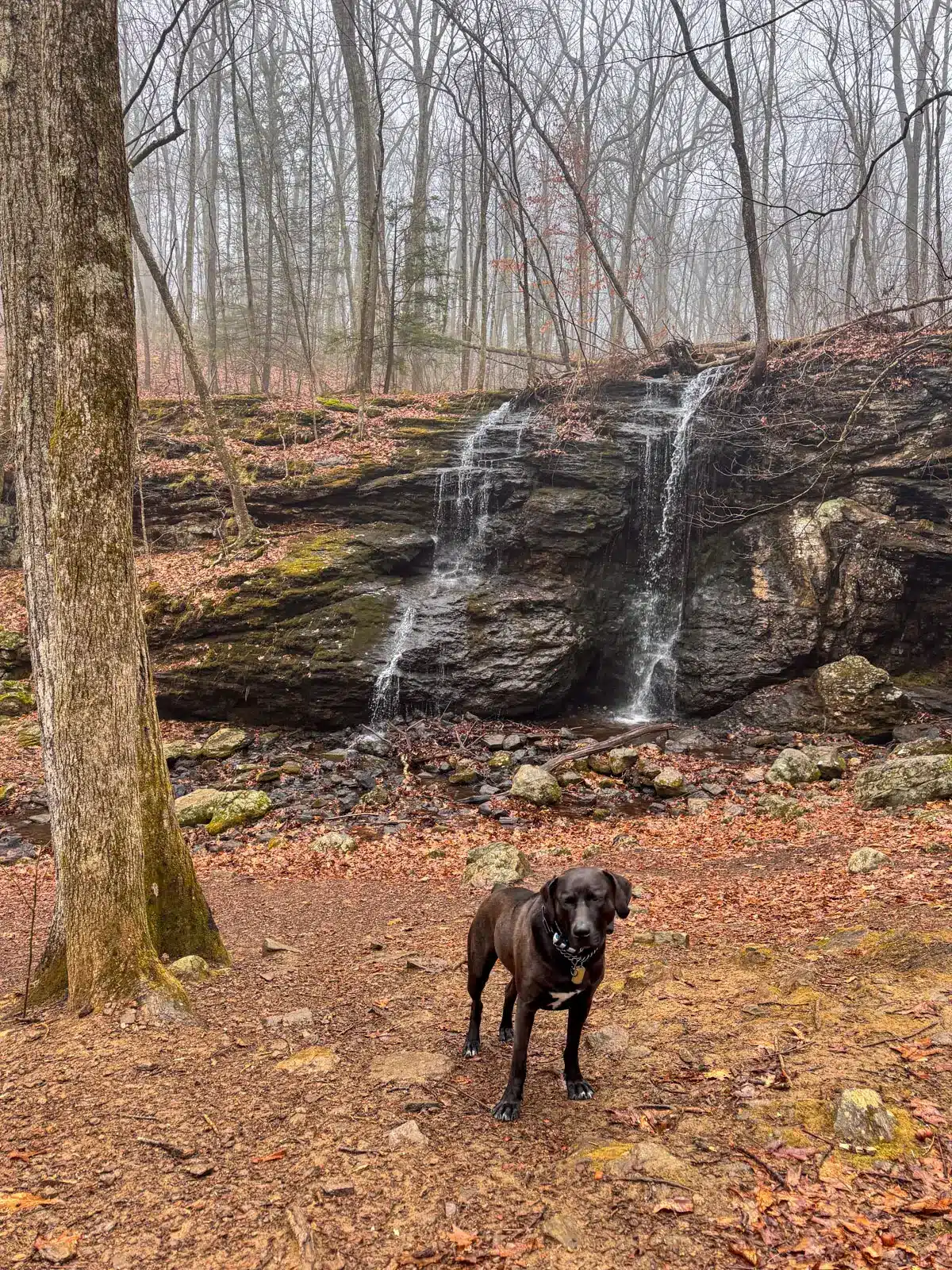
4. At 0.28 miles, you’ll see and hear Blackledge Falls waterfall on the left. Take a short detour and walk down a little hill to see the waterfall up close. This is also a great spot for the dogs to cool off or get some water.

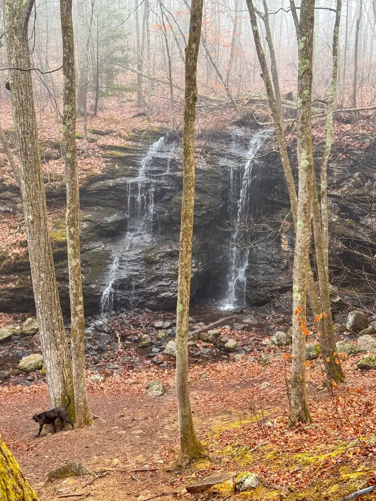
After checking out Blackledge Falls, walk back up the little hill onto the trail to continue straight on the blue-blazed trail with the waterfall on your left.
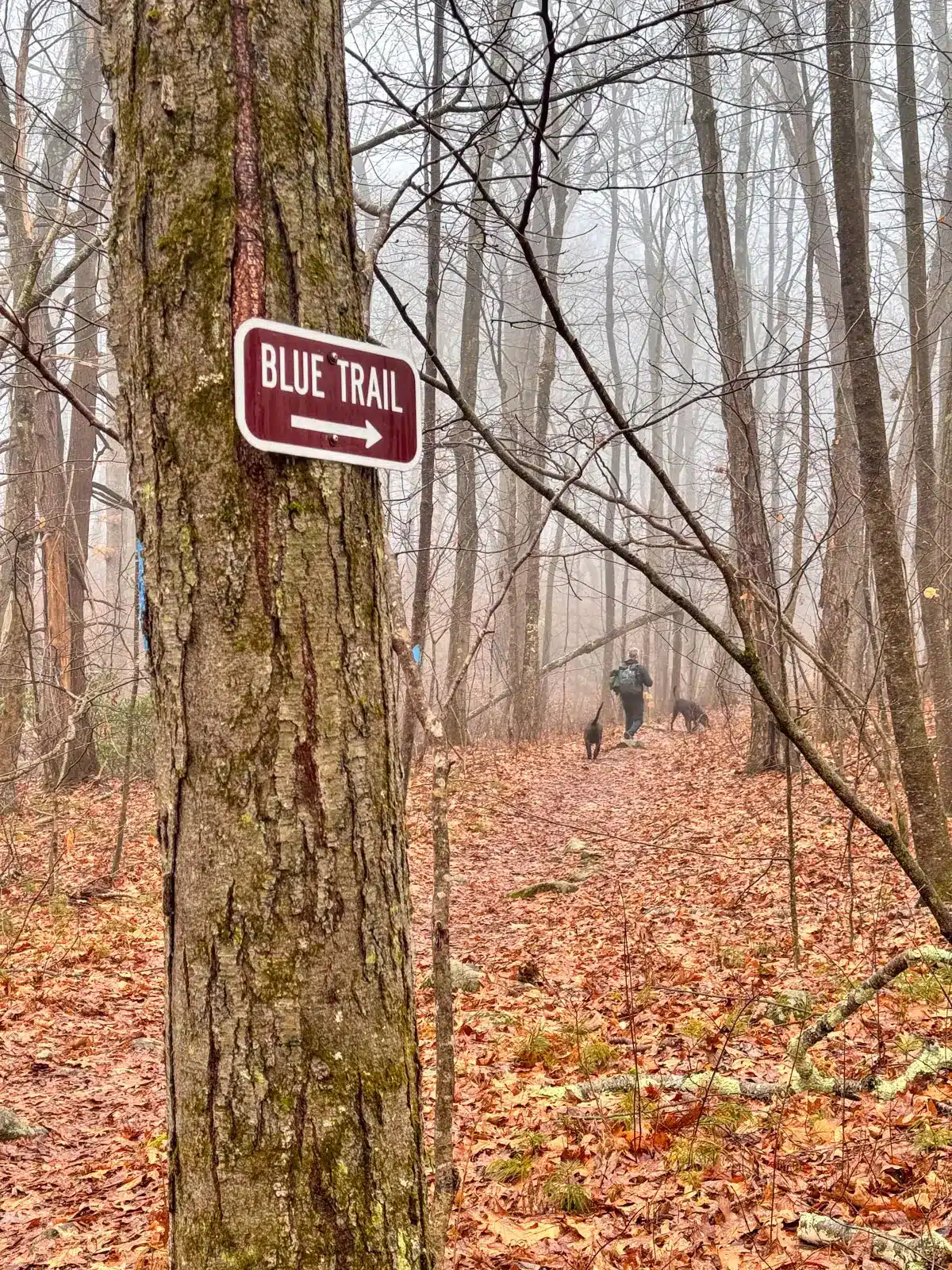
- At 0.54 miles, see a sign on a tree that says “Blue Trail” with an arrow pointing to the right. Bear right here to continue on the blue trail.
- At 0.61 miles, stay to the left on the blue trail where you will cross a small stream.
- At 0.72 miles, atop the small hill, turn right to stay on the blue trail (if you go left, you will see a sign that says leaving Blackledge Falls.)
- At 0.9 miles, see a ‘Blue trail’ sign pointing to the right. Turn left here where you will see a sign saying ‘Leaving Blackledge Falls’.
9. At 1.13 miles, emerge from the woods into a powerline field. Continue on the path walking across the field and entering back into the woods on the other side.
10. At 1.4 miles, arrive at another open field. Cross the field and continue on the trail back into the woods.
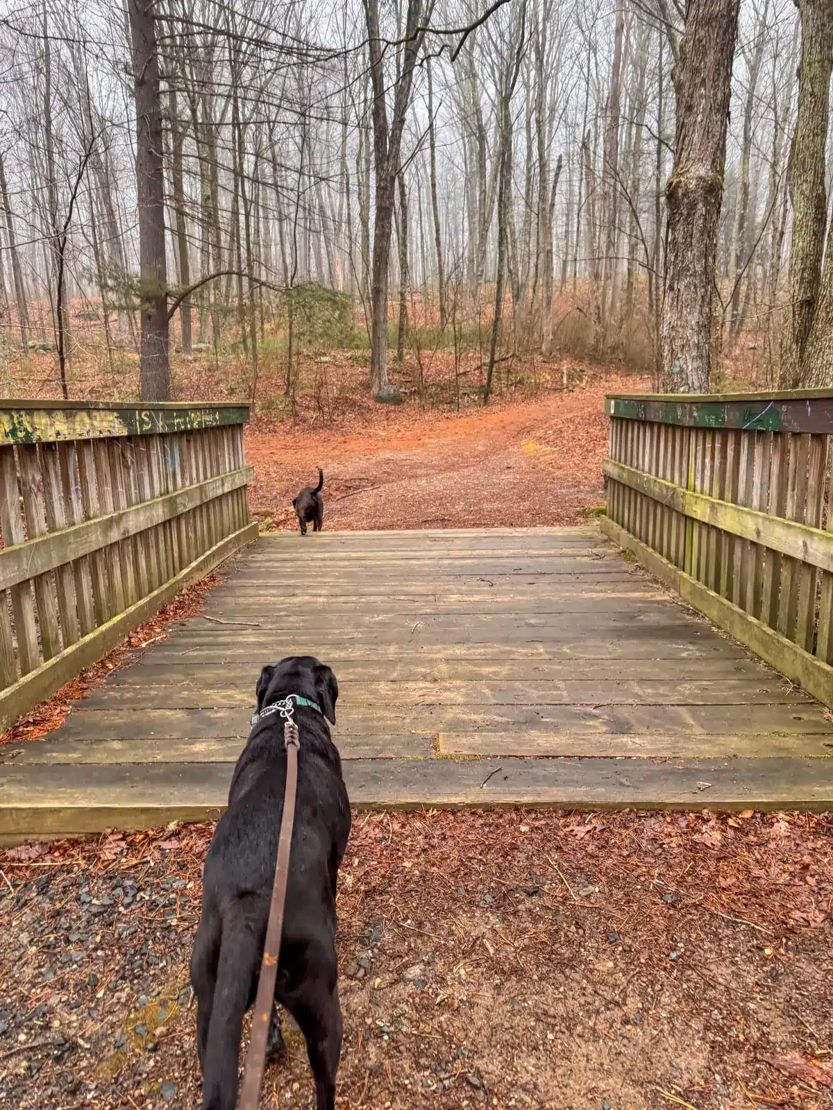
11. At 1.68 miles, turn left onto the red trail, heading away from the creek. (There is an option here to turn right and cross the bridge if you want a shorter hike.)
12. At 1.82 miles, come to an intersection, stay straight on the yellow trail.
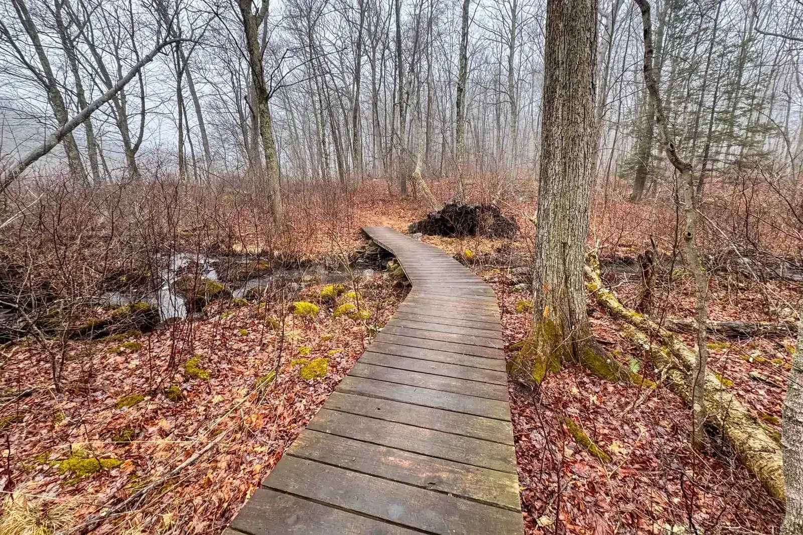
13. At 2.18 miles, walk along a long boardwalk running across the marshy area.
14. At 2.6 miles, come to a junction, turn right on the yellow-blazed trail where you’ll also see a light blue blaze on the tree and walk across the small wooden bridge.
15. After crossing the bridge, take the immediate left onto the white trail. This is where you see the ruins from an old mill on your right.
16. At 2.8 miles, you’ll arrive at the large Gay City Pond where the dogs can sniff around and splash in the water. (Note: there is a large parking lot here so it may be busier in the summer since there is a designated area of the pond for swimming). After exploring the pond, retrace your steps and walk back on the white trail.
17. At 3 miles, you’ll be back at the little bridge you crossed to get here. Instead of crossing the bridge, turn left onto the blue trail to start finishing out the other side of the loop.

18. At 3.24 miles, come to the trail juncture where you will see a road up ahead and a road to your left. Turn right here to pick up the red-blazed trail where you will remain for the next mile plus.
19. At 4.28 miles, come to a fork in the trail, keep right onto the red trail.
20. At 4.4 miles, cross the newly reconstructed wooden bridge over Blackledge River.
21. Right after crossing the bridge, at 4.42 miles, take a left onto the yellow trail where you will notice an ‘Attention’ sign, instead of going straight on the red. You will now be on the trail from earlier.
22. At 5.23 miles, you’ll notice the ‘Blue Trail’ sign. Continue straight on the blue-blazed trail.
23. At 5.28 miles, continue on the blue and white trail. You’ll see the ‘Blue and White Trail’ sign and the ‘Blackledge Falls’ sign.
24. At 5.31 miles, bear left away from the blue and white trail toward the parking lot.
25. At 5.36 miles, take a left and shortly emerge at the parking lot.
So that’s it, friends. I hope you enjoyed this trail guide to hiking Gay City State Park, the Foote Lane loop to Blackledge Falls.
Enjoy and feel free to leave any questions or comments below!
Happy trails… 🐶🩷🥾