Breakheart Reservation Loop Trail in MA: Lakes & Views!
A super scenic 3.7-mile loop that highlights the best of Breakheart Reservation, featuring exposed ridgeline views, a park-like atmosphere, and scenic lakeside trails. A beautiful, must-do hike right outside of Boston!

Just 12 miles and under 20 minutes north of Boston lies a perfect dog-friendly hike that offers a little bit of everything: ridge views, rocky terrain, pine paths, and a peaceful lakeside section.
Spending the last two decades hiking all over New England, I have to say I was very impressed with the 652-acre Breakheart Reservation!
It offers a surprisingly peaceful escape just outside the city, with quiet paths through a hardwood forest, two freshwater lakes, and multiple scenic ridge tops with views of Boston and the surrounding countryside.
And in this post, you’ll find everything you need to know to hike here – trail details, lots of photos, info about parking, and turn-by-turn trail directions so you don’t get lost and get to see all the sights!
So let’s get it! ⬇️🥾👏
🌲 Breakheart Reservation Loop Details 🌲
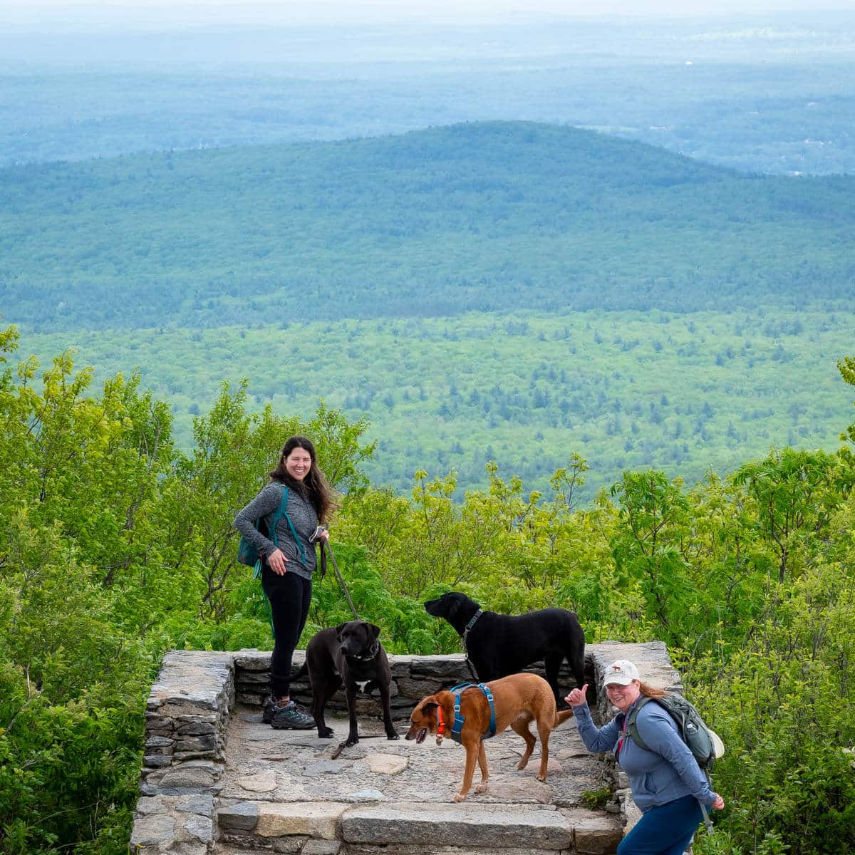
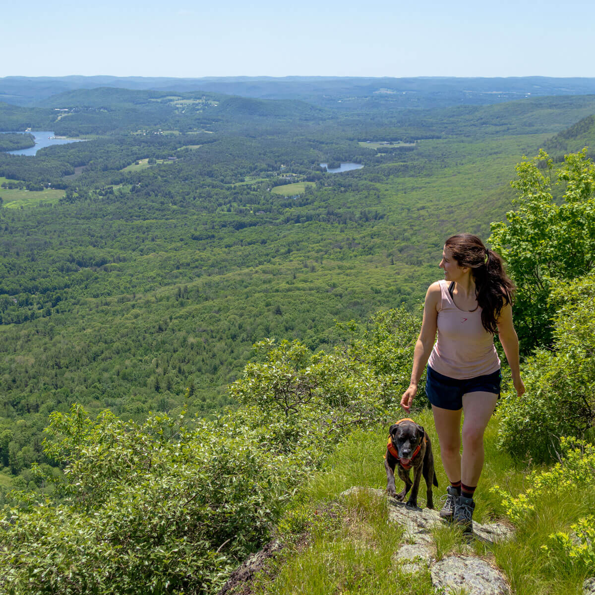
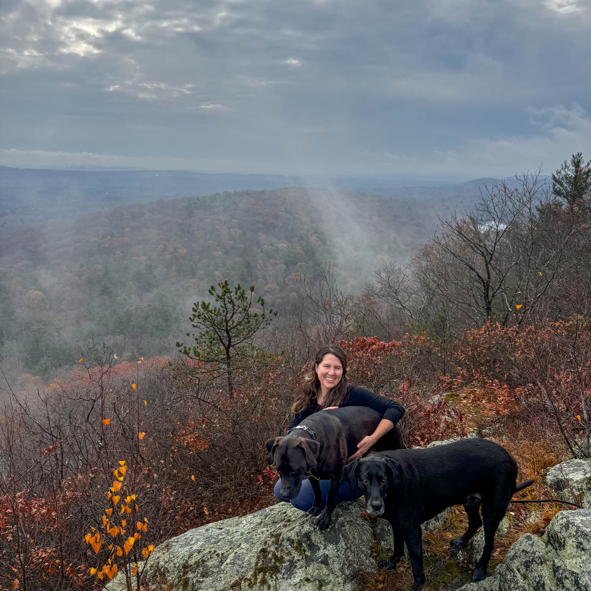
 Top of Castle Rock 🏰🪨
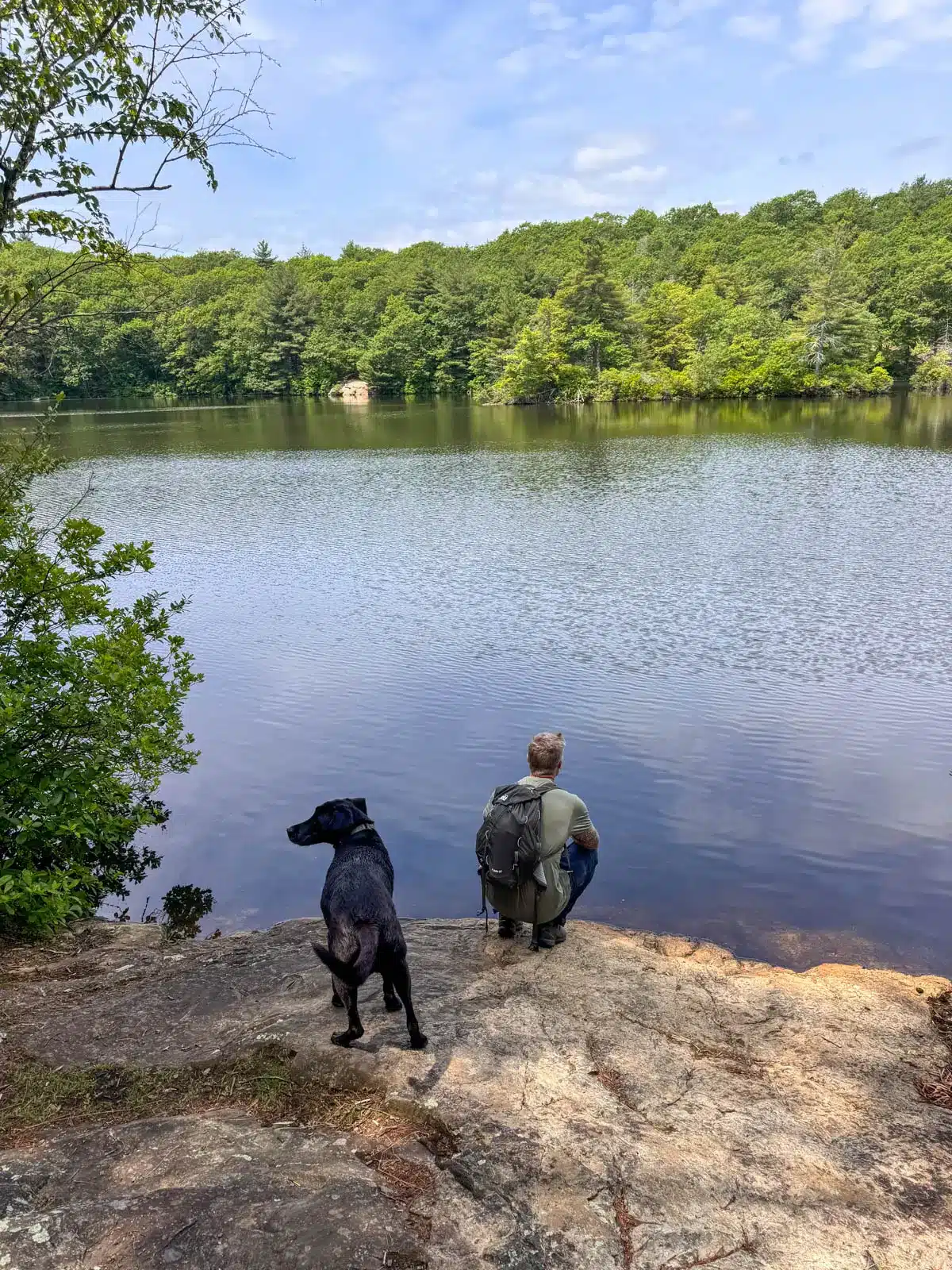
- One of two lakes you’ll encounter!
- Walk up to Castle Rock for the view


🗺️LOCATION: Saugus, MA
🚙PARKING: Navigate here: 42.48333, -71.02755
🔗ALLTRAILS LINK (the waypoints correspond to the turn-by-turn trail directions below)
🥾LENGTH: 3.71 miles (loop)
⏱️TIME & MONEY: 1 hour 48 minutes; free
📈ELEVATION GAIN: 525 feet
💪🏼DIFFICULTY: Moderate
🌲CONDITIONS: Year-round; pine paths, small rocky scrambles
🌟HIGHLIGHTS: Views, lakes, and just enough challenge
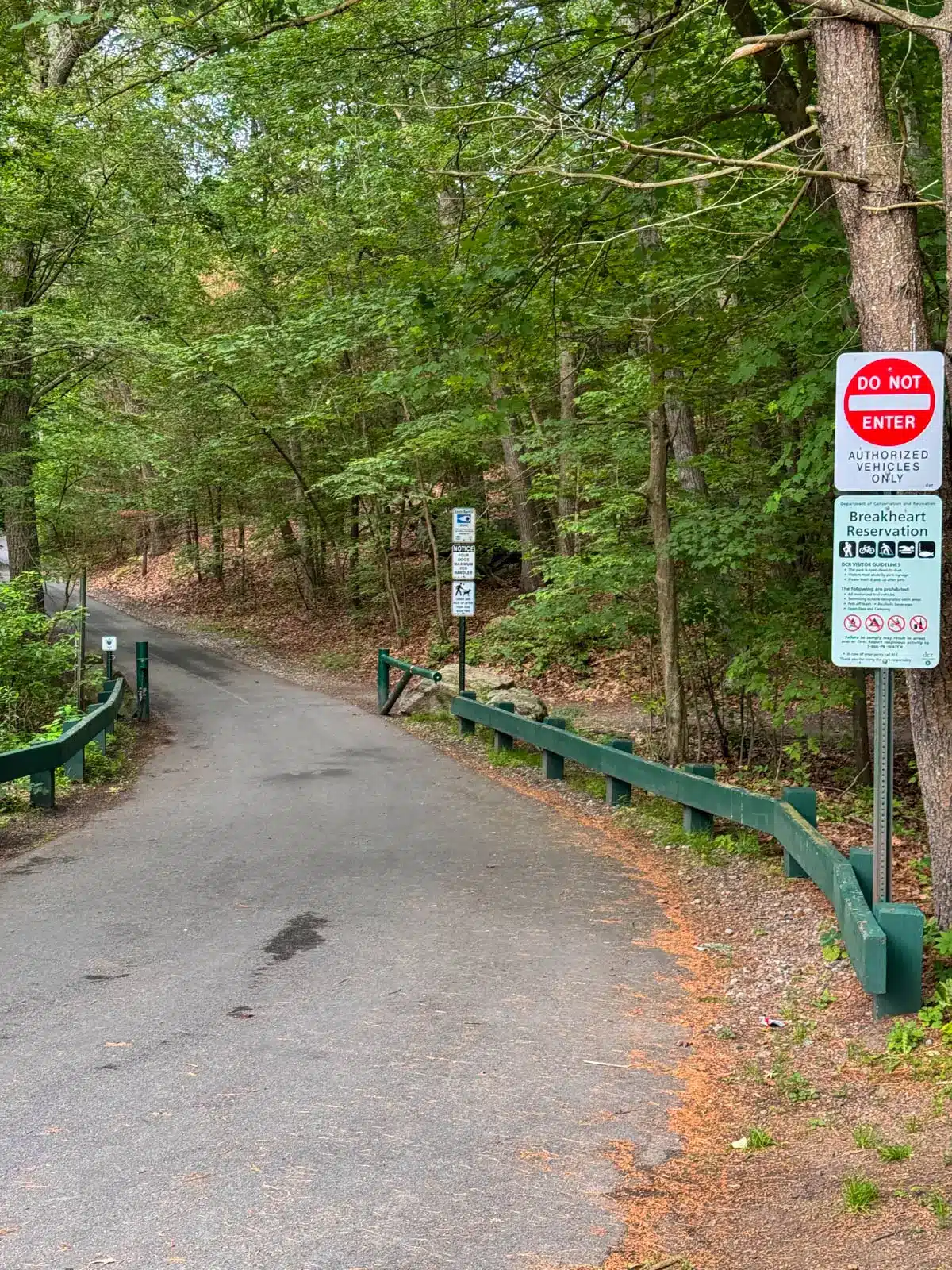
🚗Find the trailhead: From the Saugus Public Library, head south on Central Street and after 151 feet take the first exit onto Main Street at the traffic circle. After 1.2 miles, turn right onto Forest Street. After 0.7 miles, turn left to stay on Forest Street and after 0.1 miles, the destination, 177 Forest Street, is on your right.
Land manager: Department of Conservation and Recreation, 10 Park Plaza, Suite 6620, Boston, MA 02116; (617) 626-1250; mass.parks@mass.gov
💚 WHY YOU’LL LOVE IT 🩷
- Diverse trails and terrain, from rocky to padded pine
- Lake access for dogs and shade in second half
- Park-like setting in popular reservation on quiet trails
⛰️Breakheart Reservation Hike Overview⛰️
Pulling into the crowded lot, you may wonder how it could be a quiet experience, especially on a weekend. Don’t be discouraged! With over 18 miles of trails, it’s easy to find solitude by sticking to the wooded loops instead of the paved paths that hug the lakes.
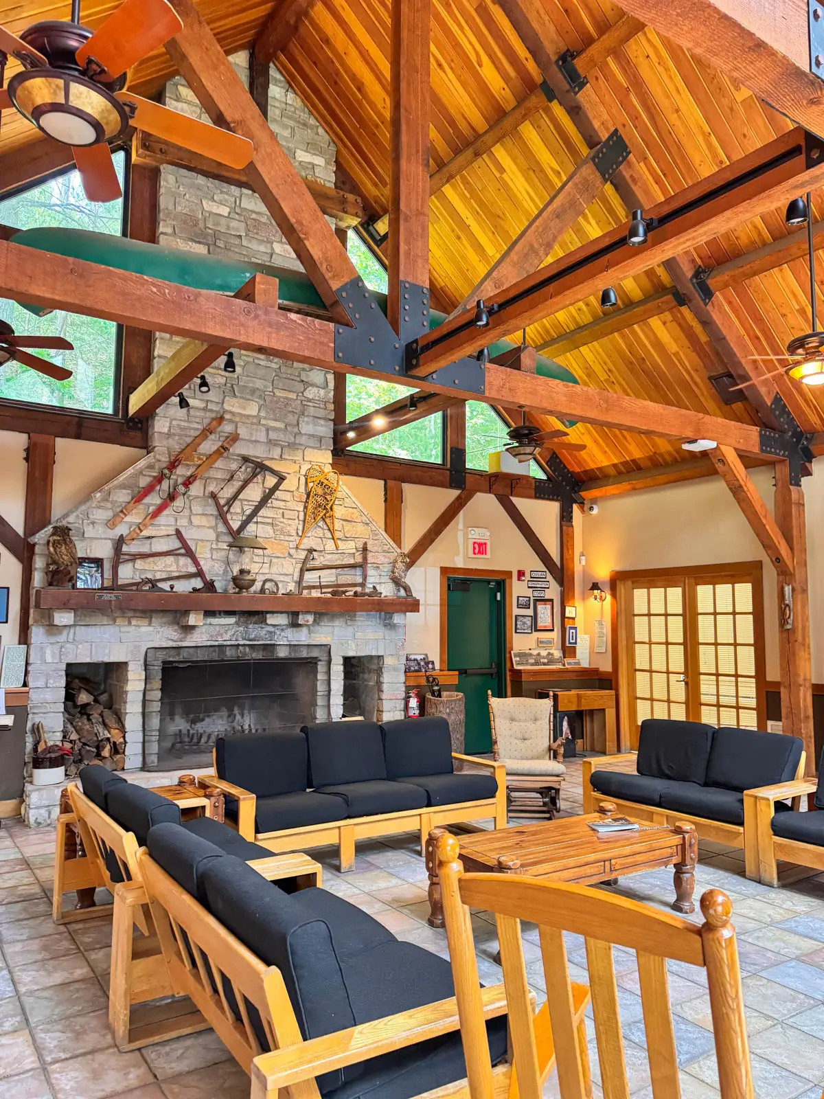
Parking is along Forest Road or in the small lot at the Breakheart Visitors Center. The Visitors Center is open Wed–Sun, 9 a.m. to 3:30 p.m., with bathrooms, vending machines, a fireplace room, and a water filling station.
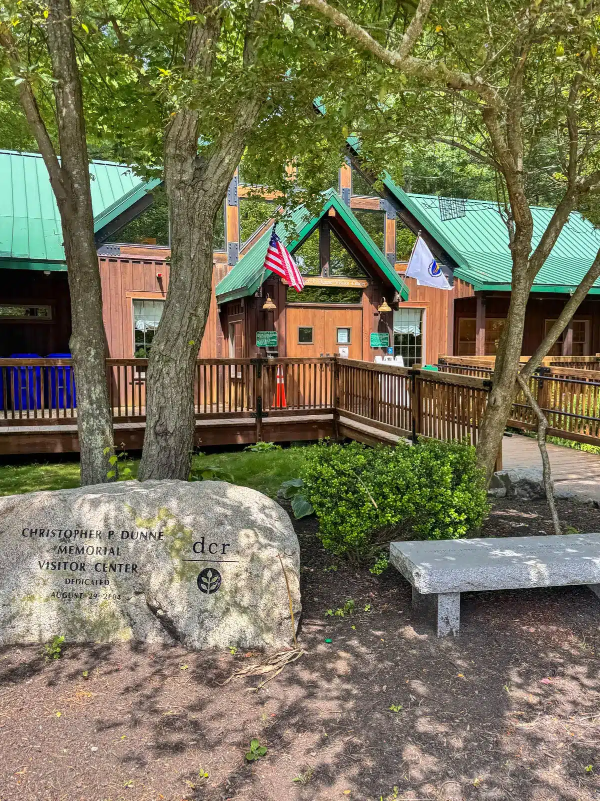
Start the hike on the paved road west of the Visitors Center between the playground and the brick garage building.
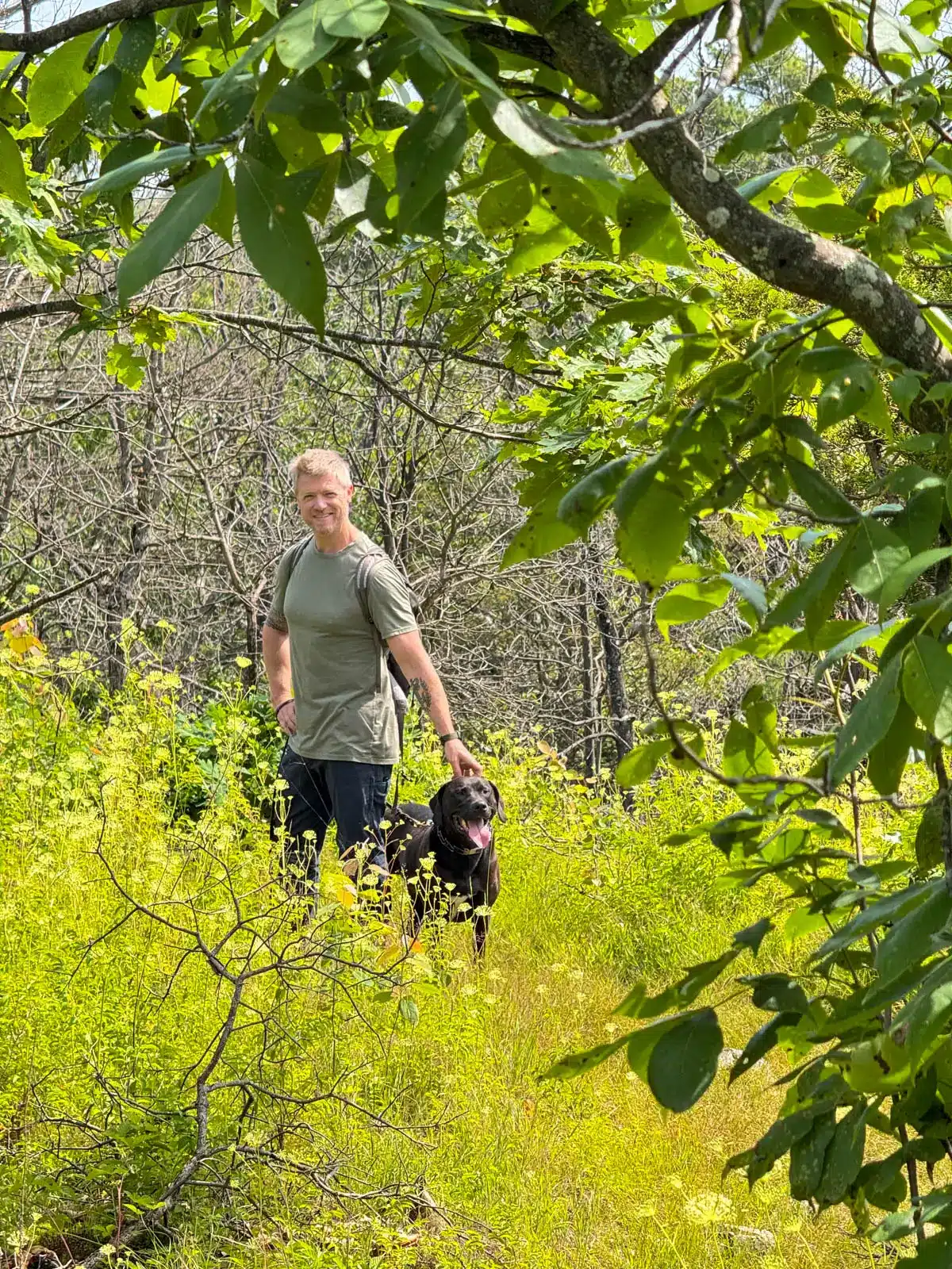
The first part is all about the ridge, following the red-blazed Ridge Trail for the first 2 miles. There’s not much shade on this section, so pack water for both you and the dogs.


Expect small scrambles and a few ups and downs on your way to Castle Rock, but nothing that requires dropping the leash or using your hands.
At about 1.67 miles, you’ll see a trail to the left, ‘Castle Rock Trail’. Take this short detour, leads to views atop Castle Rock, the highest elevation point in Breakheart Reservation. Here you’ll have sweeping views facing mostly west with a peak south toward Boston.


After the view at Castle Rock, the trail begins to wind its way downward toward the lakes, leaving Ridge Trail and picking up Spruce Trail.
You and your pup will appreciate the change to softer pine needle trails and the cool, shaded respite after the ridge!


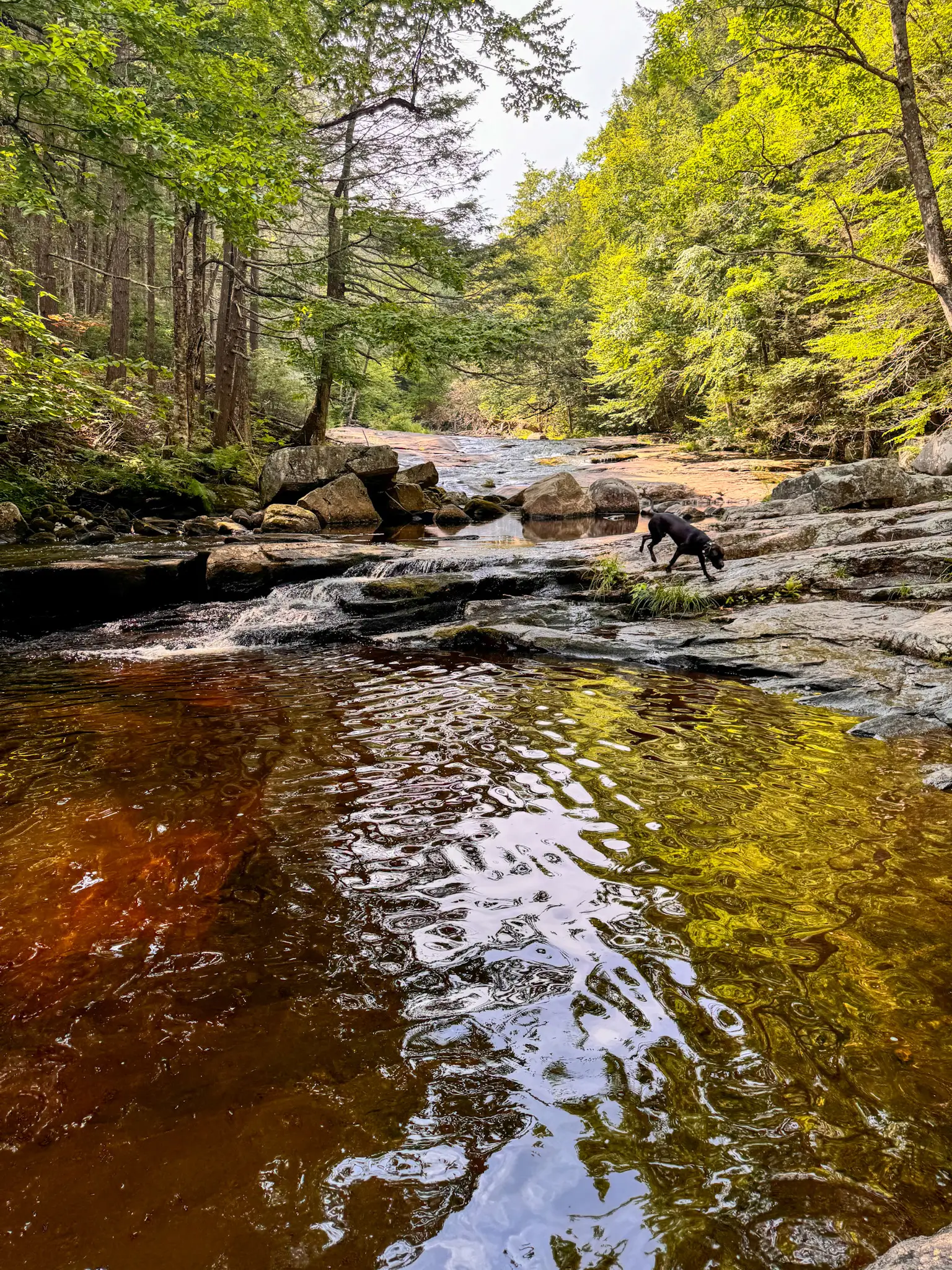
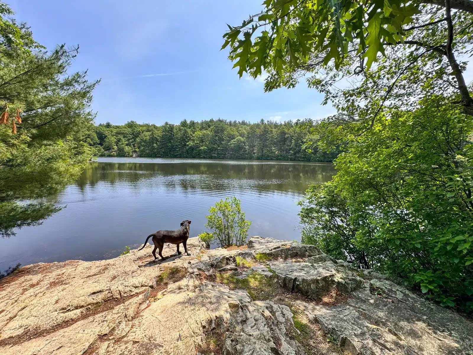
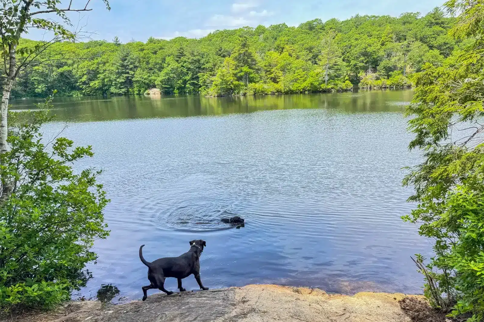
Streams and multiple opportunities for lake views and doggy dips (no swimming allowed for people) await on the second part of the hike as the trail makes its way along Pearce Lake followed by Silver Lake.

The trail around the lakes can be a little confusing to follow, but at 2.5 miles, pick up the blue trail that hugs the southern portion of Pearce Lake then cross to the north side of Silver Lake (see Upper Pond Trail sign).
💡If you ever find yourself on a paved path, you can simply follow it back to the parking lot where you started.
Otherwise, soak in the shade and lakeside scenery in the second half of this hike, then stay on the blue trail to return to the lot. If your pup needs to burn off a little extra energy before or after the hike, head to The Barking Lot, a small off-leash fenced area located at the 177 Forest Street parking lot.
🧭 TURN-BY-TURN TRAIL DIRECTIONS 🧭
- Start on the paved road west of the Visitors Center between the playground and the brick garage building.
- After about 100 feet or .05 miles, turn left on the red-blazed Ridge Trail.
- At 0.43 miles, continue straight on red, following Ridge Trail. Continue following red up and over Ash Hill.
- At 0.64 miles, continue straight on Ridge Trail.
- At 0.73 miles, turn right to continue following the red-blazed trail.
- At 1.08 miles, follow Ridge Trail as it bends to the left.
- At 1.48 miles, keep left on the red trail. (You’ll see red and white blazes to the right.)
- At 1.67 miles, take a left on Castle Rock Trail for a short detour up to the Castle Rock view.
- At 1.72 miles, on top of Castle Rock, take in the view then return down to the red trail the same way you came up. Continue straight on red.
- At 1.96 miles, turn right following the red-and-purple-blazed Spruce Trail.
- At 2.07 miles, take a left onto the paved road (Hemlock Road).
- At 2.1 miles, turn right off the paved road following the white-blazed trail back into the woods.
- At 2.16 miles, turn left on the yellow-and-purple-blazed trail.
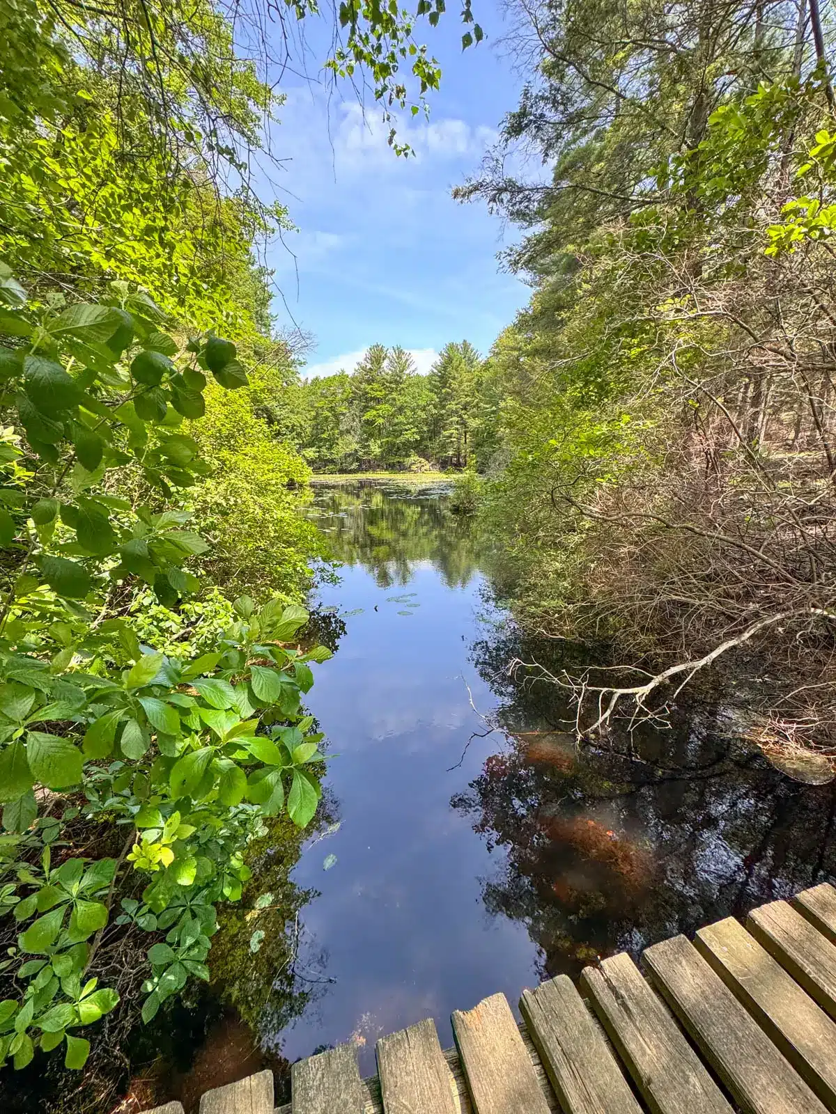
- At 2.22 miles, turn right crossing the plank bridge. Soon, white blazes mark the trees.
- At 2.30 miles, turn right and continue following the purple-blazed trail.
- At 2.58 miles, after crossing the wooden bridge on the right over Pearce Lake, keep left on the blue trail.
- At 2.78 miles, bear left on blue continuing on the trail that hugs the lake. (If you arrive on the paved road, turn back around to get on the trail that stays along the right side of lake.)
- At 2.85 miles, stay to the left to continue on the path beside the lake.
- At 3.03 miles, come to a large, exposed rock with the lake on the left. The dogs can swim or get a drink. Then take a sharp right uphill to continue on the blue trail, which rises just above the lake.
- At 3.10 miles, continue straight up the stone steps and follow the blue-blazed trial.
- At 3.17 miles, turn left onto the blue trail at the Upper Pond Trail sign. The water is on your right. Continue on the blue trail as it runs along the left of Silver Lake.
- At 3.42 miles, turn left to cross the paved path then continue straight on the gravel path following signs for Breakheart Hill Trail.
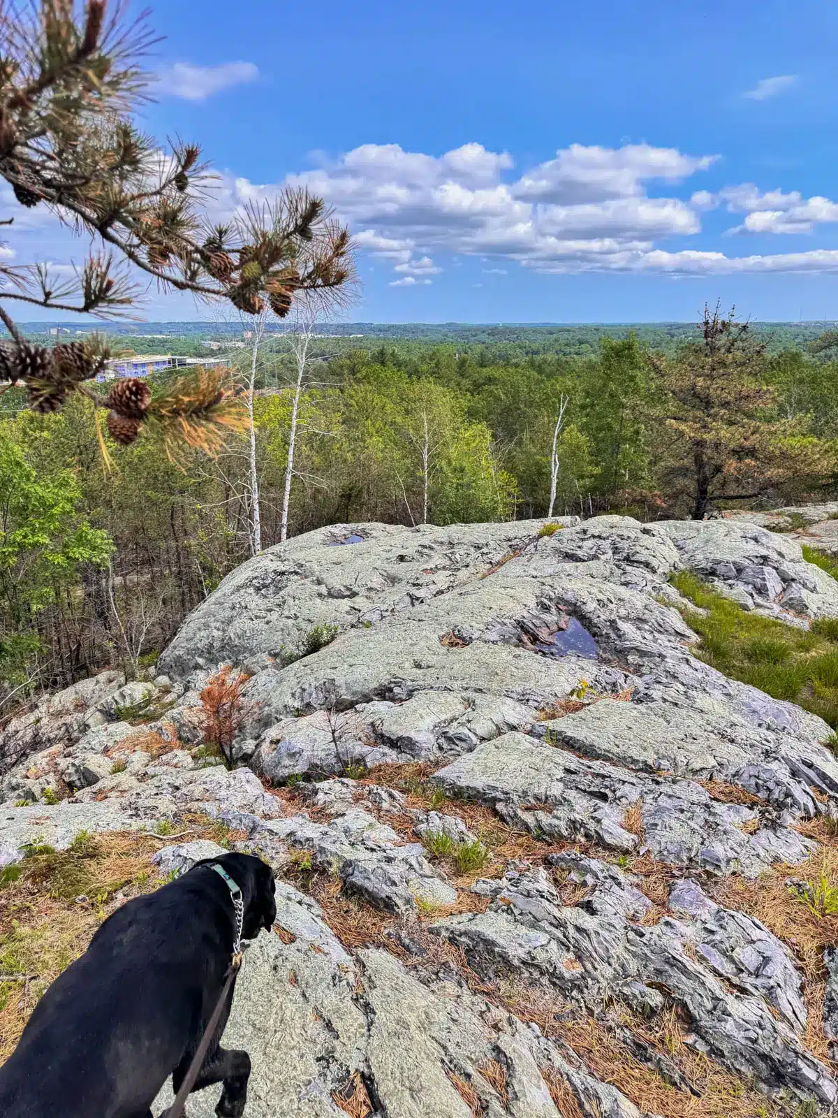
- At 3.55 miles, either continue to stay straight on the blue-blazed gravel path which leads all the way back to the parking lot or take a detour to the right to check out the view of Breakheart Hill.
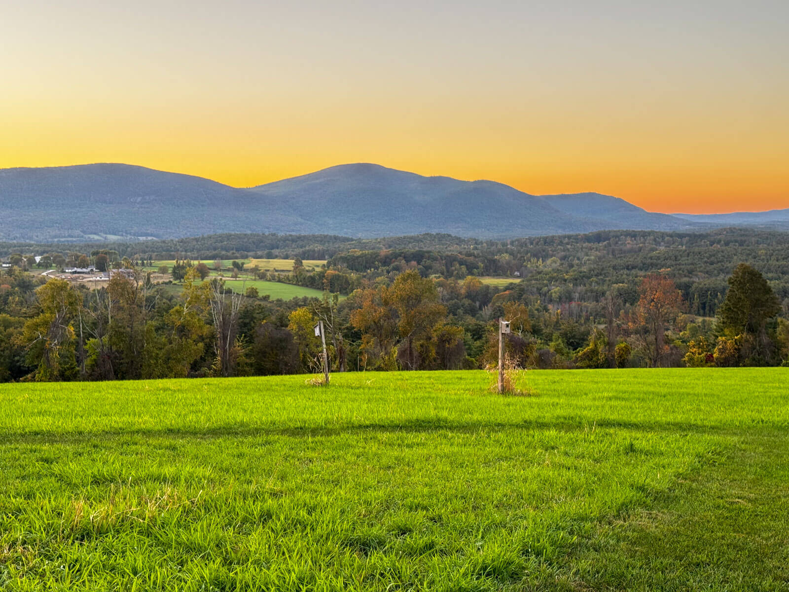
Breakheart Loop, Extra Photos 📸


That’s it, friends!
I hope you enjoyed this post all about hiking this scenic loop at Breakheart Reservation. Between the views, lakes for the dogs, and peaceful paths, there are so many reasons to do this hike right outside of Boston.
Feel free to leave any questions or comments below. I’d love to hear from you and hear how your experience was if you hike here! 🙂
Happy Trails! 🐾🩷🐶🥾