Blue Hills Reservation Skyline Loop Trail Guide; 3 Miles
Challenge yourself with this short but mighty hike just south of Boston in Blue Hills Reservation, complete with steep scrambles and sweeping views from multiple hilltops and the historic Eliot Tower! A great test run for some of the bigger hikes in New England.
Located just 12 miles south of Boston, the Skyline Trail is part of the 7000-acre Blue Hills Reservation—the largest park, and one of the oldest, in metropolitan Boston. This hike offers a scenic mountain-like experience while being relatively close to the city.
In this post, you’ll find everything you need, including parking information, trail highlights, and turn-by-turn trail directions to help you have a fun and successful hike.
Though the distance is short—just over 3 miles—don’t be fooled! It packs in a solid workout, with rocky ascents and technical scrambles that make it a fun and challenging hike for active dogs and humans alike.
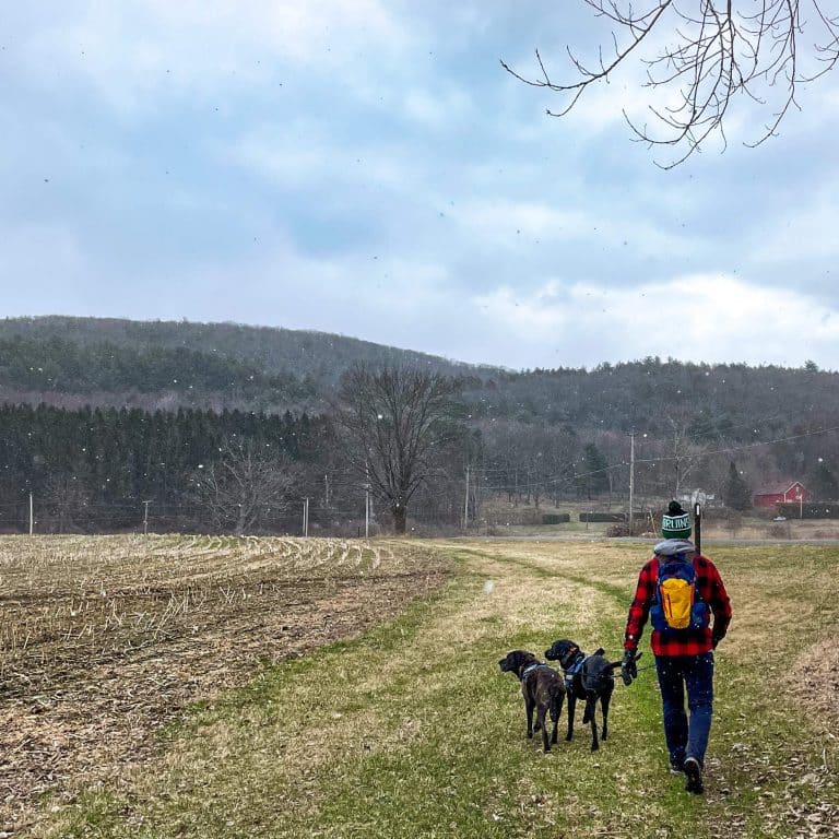
Living next door in Connecticut, I love taking day trips to Massachusetts to go hiking. While I usually opt for a hike in the Berkshires, I’ve been discovering more and more hikes just outside of Boston that I love – including this one!
So let’s get to it and check out everything you need to know for this hike at Blue Hills! ⬇️🥾
🌟Great Blue Hill Skyline Trail Loop Details
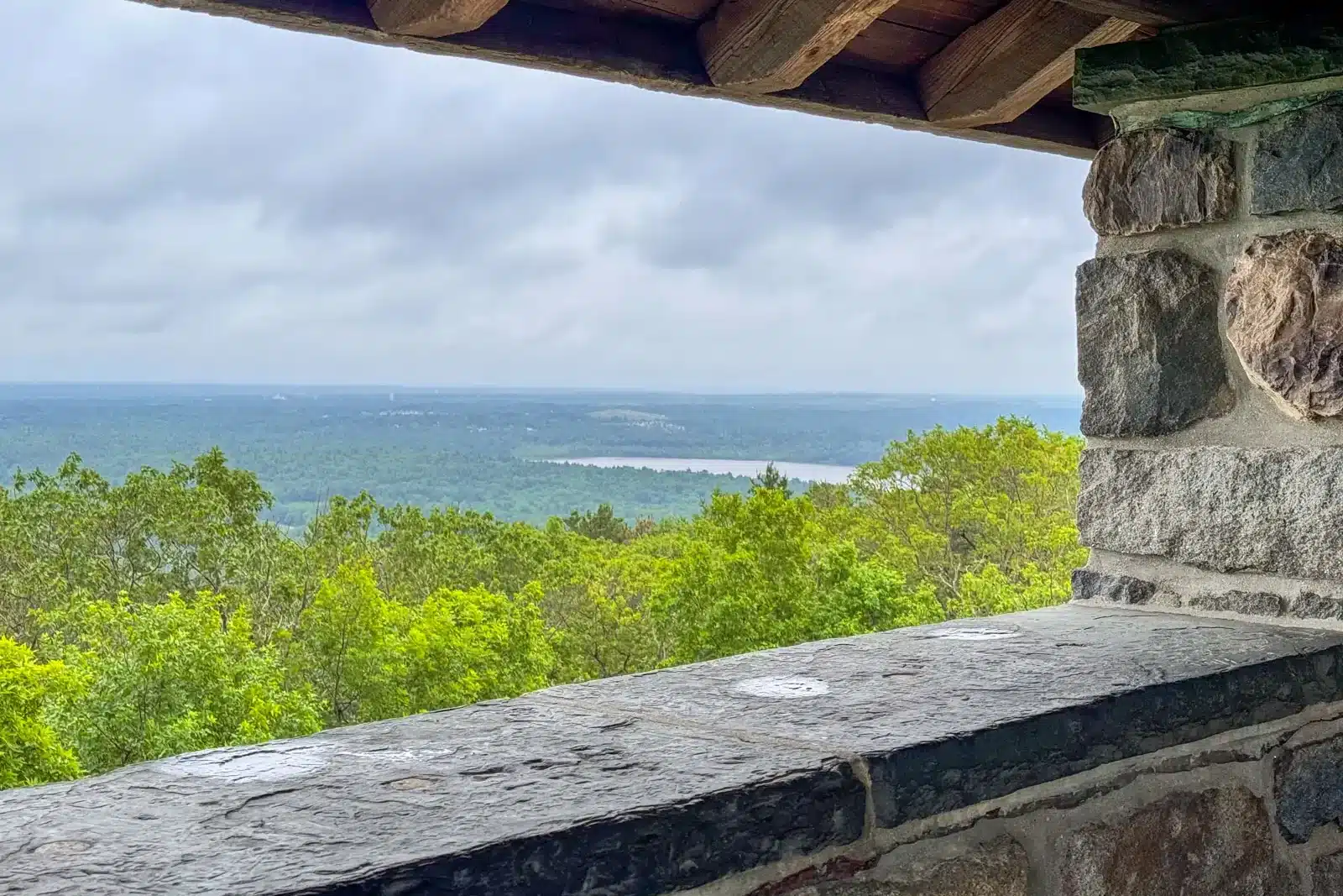
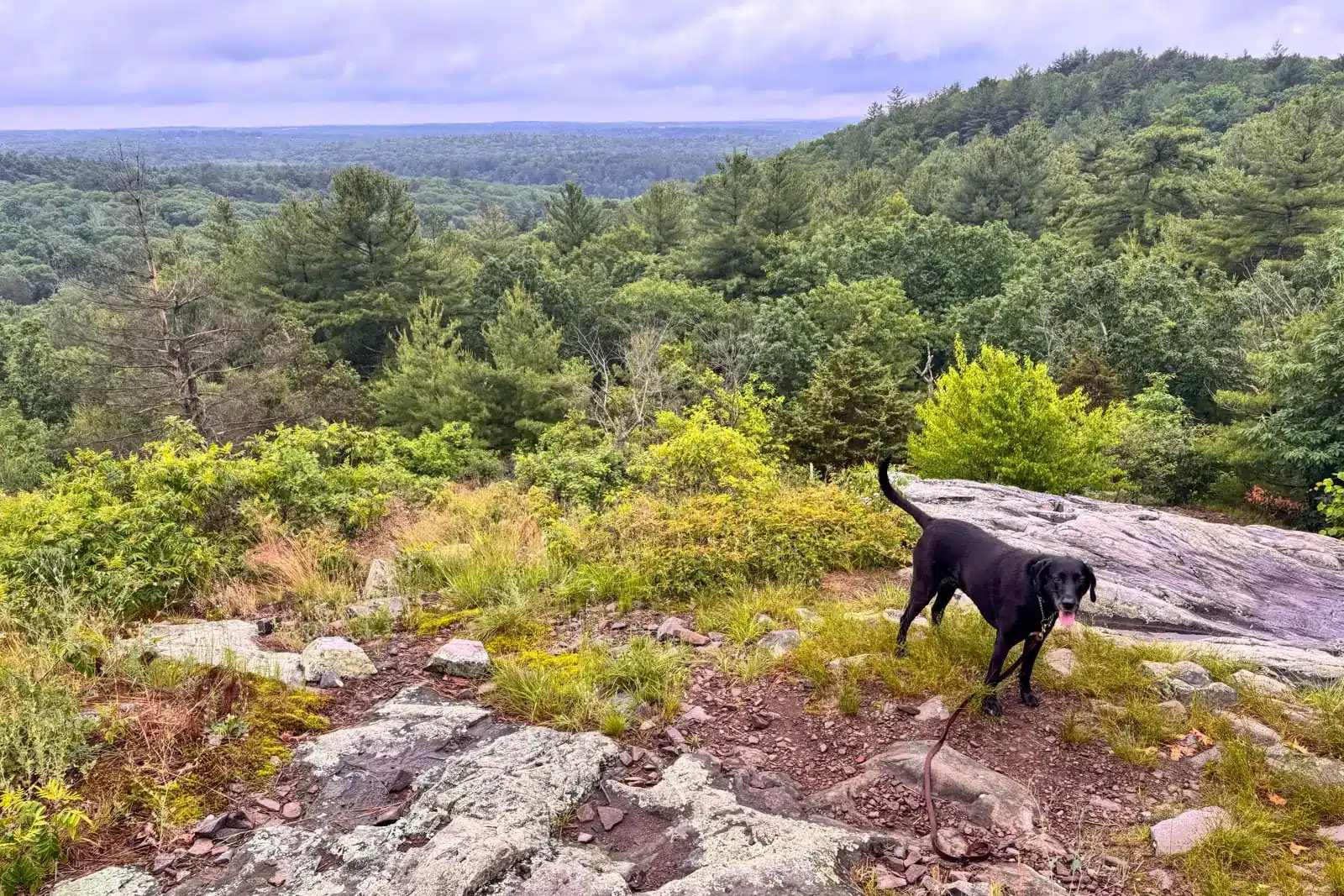
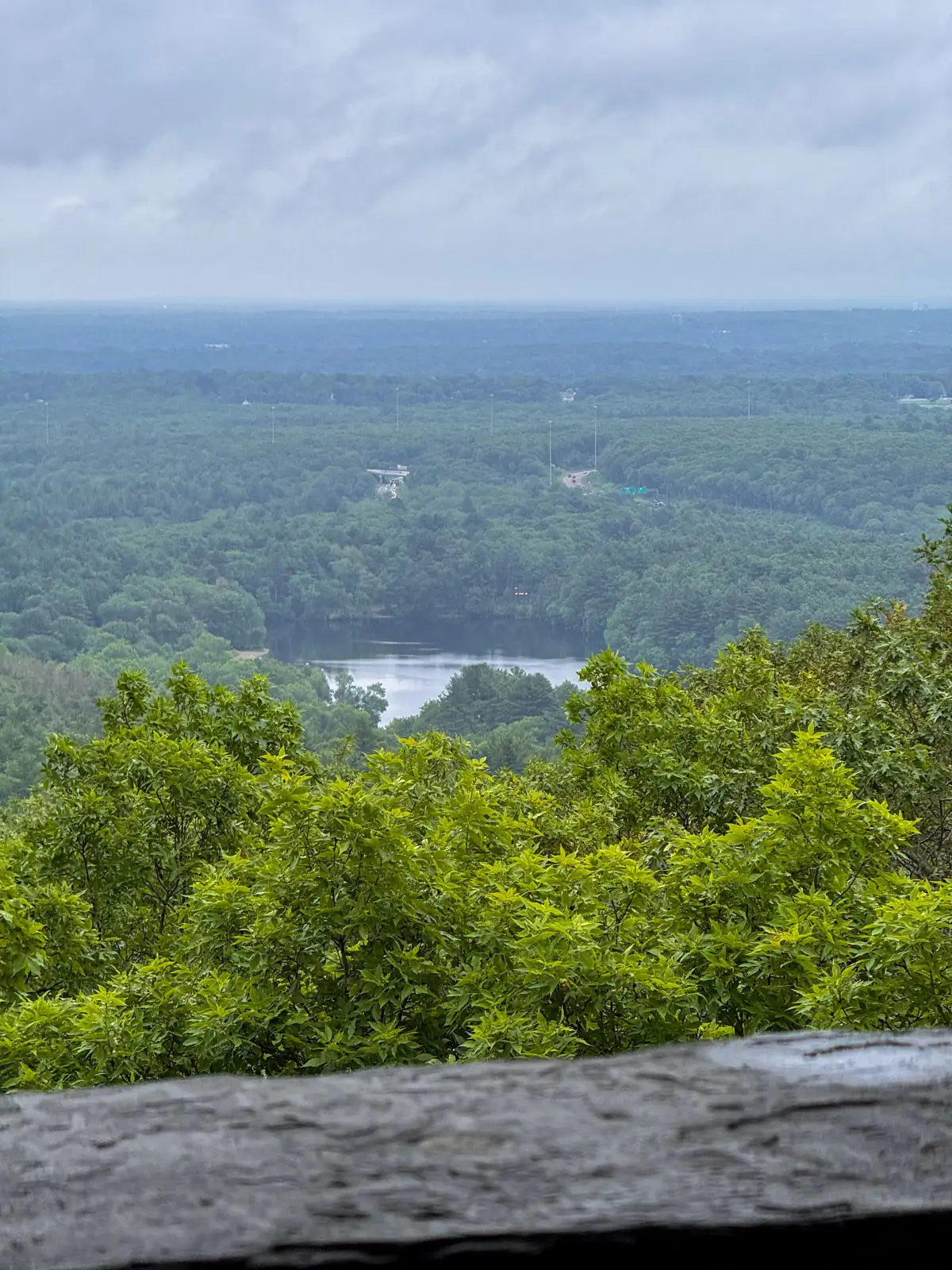
Blue Hills Reservation is home to towering eastern white pines, oaks, and hickories—many of them well over a century old. On this hike, you’ll find multiple hilltop views, lots of elevation change, and nearly 360-degree views from the historic, stone Great Blue Hill Observation Tower, also known as Eliot Tower.
- 💚Hike Name: GREAT BLUE HILL VIA SKYLINE TRAIL
- 🔗 AllTrails link 🔗 (numbered waypoints along the trail correspond to the turn-by-turn directions further below)
- 📍Location: Milton, MA
- 🕐Time & Money: 2 hours; free
- 🥾Miles: 3.07-mile loop
- 📈Elevation Gain: 812 feet
- 💪🏼Level: Moderate to strenuous
- 🌲Conditions: Pine paths & rocky scrambles
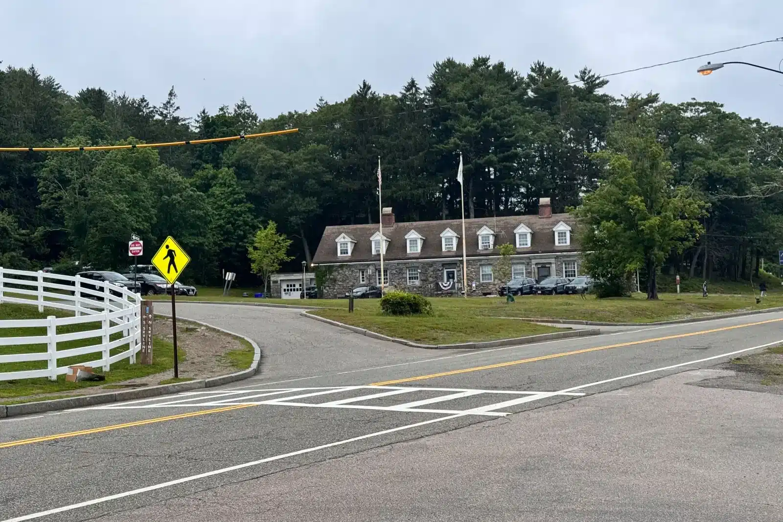
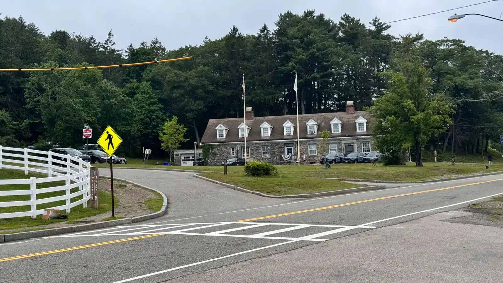
- 🚗Parking: click to navigate to 42.21424, -71.09356, parking along Hillside St at Houghton’s Pond main parking area. Only room for 10 or fewer spaces, read more about parking below!
- 🌟Special features: Multiple viewing points, challenging hike, climb Eliot Tower
Find the trailhead 🗺️
From the Milton Public Library, turn right onto Edge Hill Road, and after 0.8 miles continue on Pleasant Street. After 0.7 miles, turn right onto Reedsdale Road and after 0.1 mile turn left onto Randolph Avenue (RT-28). After 1.7 miles, turn right onto Chickatawbut Road. After 1.2 miles, turn left onto Hillside Street. Parking is on the left after 0.4 miles. (click here to navigate to parking)
Parking Tip 🚗
One challenge to keep in mind is the limited parking for this trail: we were there on a rainy Saturday in June and found a spot, but there’s only room for fewer than 10 cars. The Blue Hills Reservation website notes to expect heavy use on weekends, so get there early!
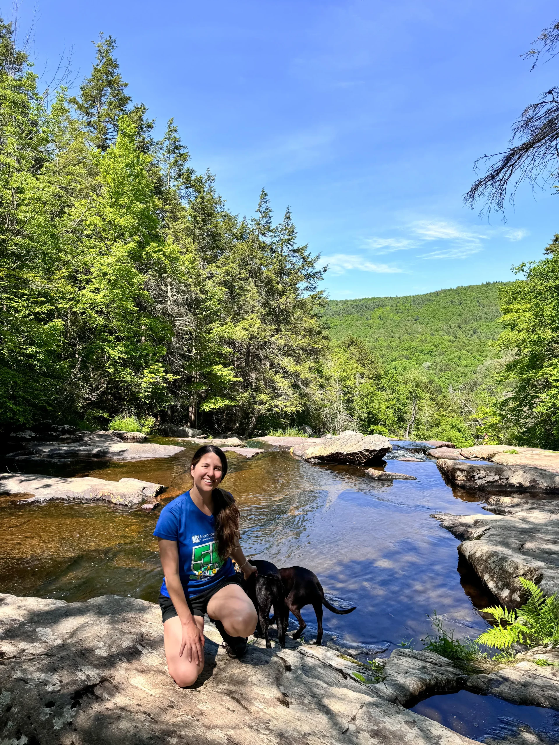
Hiking with Dogs Tip 🐶🐾
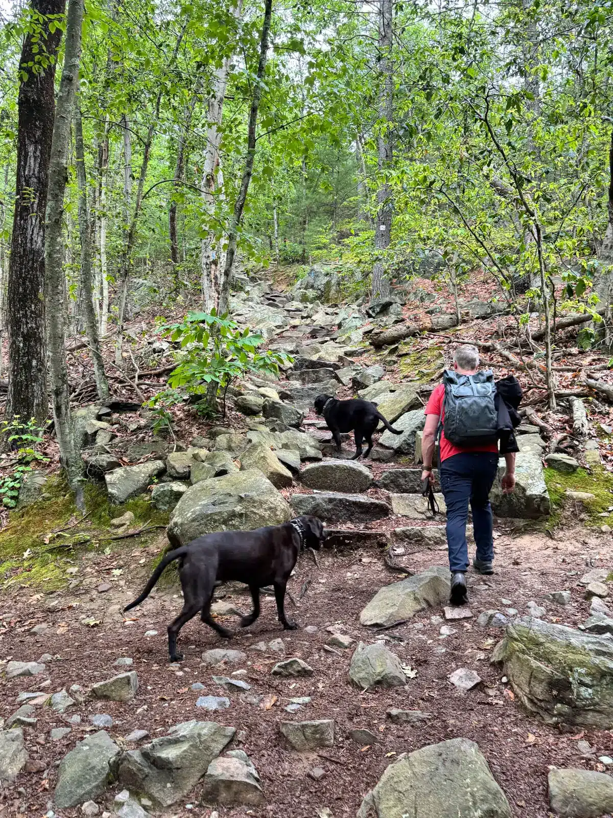
Several times on the scramble sections, we had to drop the leash to use our hands to navigate up or down, and saw others doing the same. According to a local hiker we met along the way, about 90 percent of dogs on this trail are off-leash, and most owners are friendly and respectful.
Land manager: Department of Conservation and Recreation, 10 Park Plaza, Suite 6620, Boston, MA 02116; (617) 626-1250; mass.parks@mass.gov
mass.gov
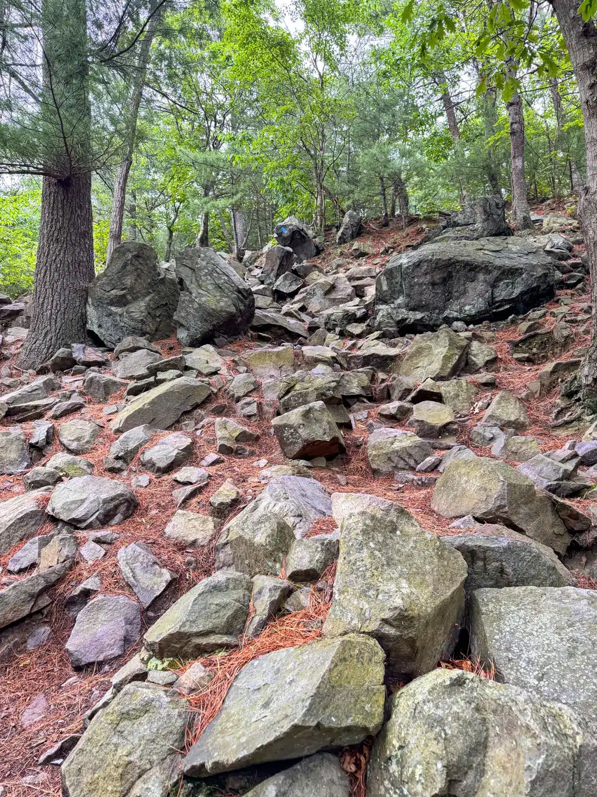
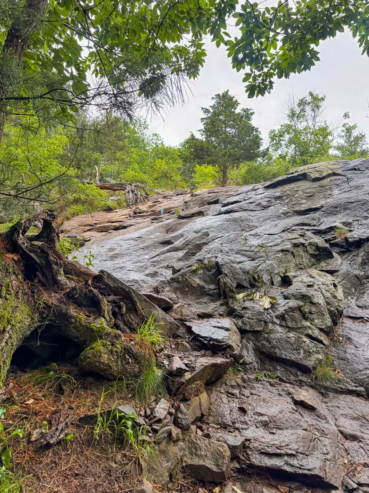
Trail Conditions 🌳🪨🌲
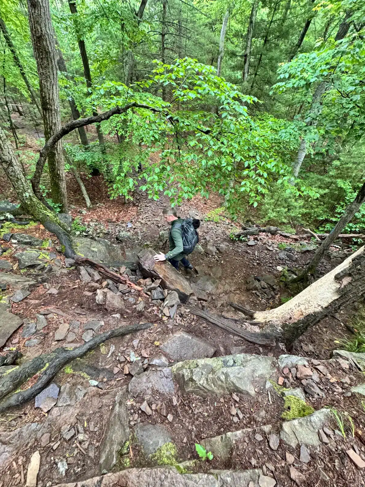
As mentioned, there will be a mix of narrow pine needle paths, rooty and rocky paths, stone steps, and short but steep rock scrambles. There are several ups and downs on this trail, and not just one long uphill or downhill section. Check out the variety! 🙂

- Steep section early on in hike

🌲WHY YOU’LL LOVE IT 💚
- Steep, rugged trails for high-energy dogs & humans!
- Panoramic views from Eliot Tower
- Varied landscapes across multiple scenic summits
🌲 Skyline Trail Overview 🌲
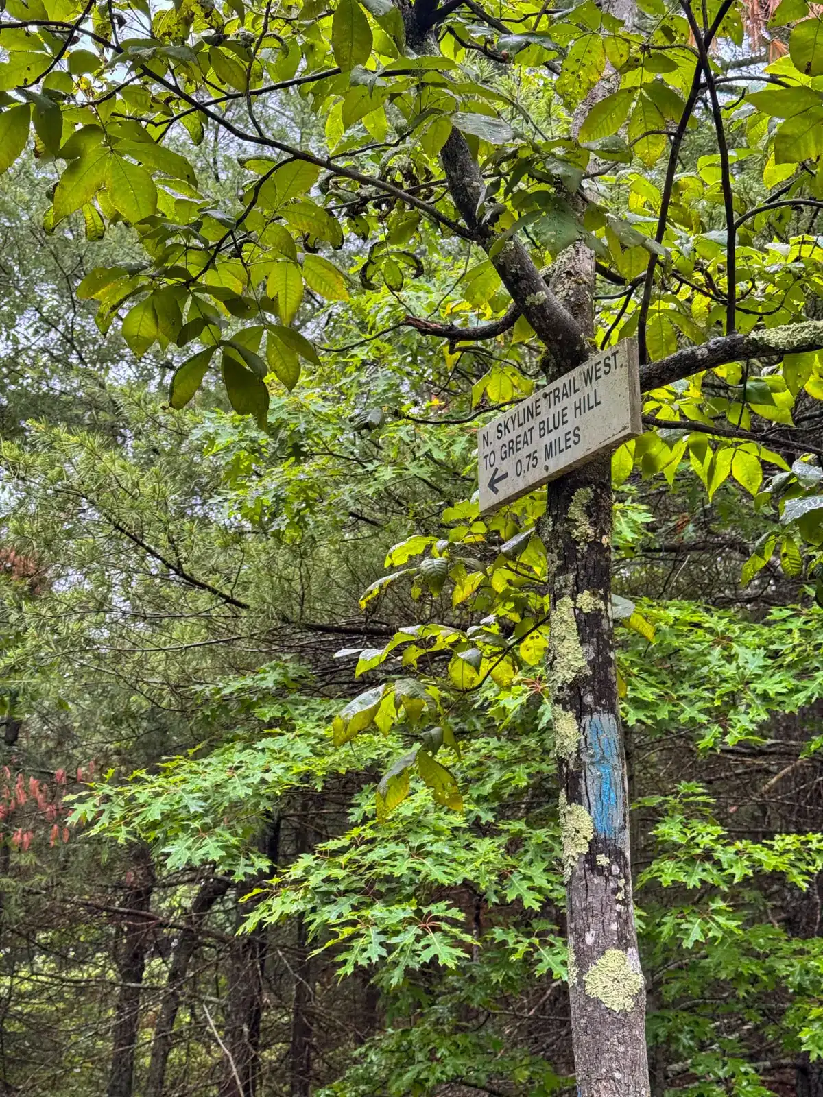
Begin at Houghton’s Pond main parking area along Hillside Street right across from the MA State Police station and the DCR State Parks South Office. Carefully cross Hillside Street, heading north on the crosswalk, following the blue-blazed N Skyline sign.
Once across the street, find the trailhead 200 feet up the driveway and to the left of the DCR building. Begin the loop counterclockwise, following the blue blazes and Skyline Trail signs (which you’ll stay on for most of this loop).

From the start, the trail climbs quickly up to Hancock Hill (509 feet) and Hemenway Hill (473 feet) where rewarding vistas await. After taking in these early views, continue following the blue-blazed N Skyline Trail to Great Blue Hill signs.
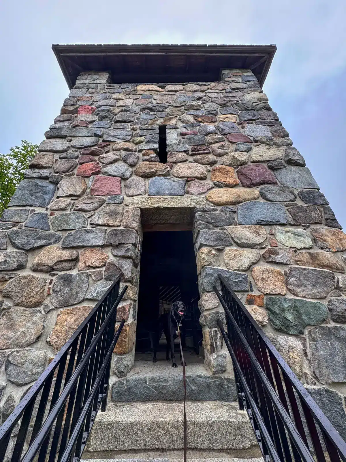
At 1.4 miles, arrive at Eliot Tower, which is named after Charles Eliot, a visionary landscape architect who helped establish the Blue Hills Reservation and the Metropolitan Park System of Greater Boston. Walk up a few staircases and take in panoramic views of the Boston skyline, giving thanks to the man who “sought out hill, forest, shore for all to enjoy.”


From here, follow the blue-blazed South Skyline Trail as it loops around the Blue Hill Observatory and Science Center (open weekends 10 a.m. to 4 p.m.) before heading back down to the parking lot.
- Blue Hill Observatory


🧭 TURN-BY-TURN DIRECTIONS 🧭
- Walk across the crosswalk on Hillside Street following the blue-blazes and N Skyline Trail sign towards the DCR and MA State Police buildings. Find the trailhead on the DCR building’s left. Start the hike here on the blue trail.
- At .05 miles, turn right and walk up the stone steps, following the blue blazes and N Skyline Trail to Great Blue Hill sign.
- At 0.18 miles, arrive at a viewpoint atop Hancock Hill, then continue following the blue trail to the left of the view.
- At 0.4 miles, after the steep descent, continue straight following the blue-blazed trail.
- At 0.57 miles, bear left on blue following N Skyline Trail to Great Blue Hill.
- At 0.86 miles, at the four-way intersection, continue straight on blue following Skyline Trail to Great Blue Hill sign.
- At 1.42 miles, continue following the blue trail up the stone staircase and arrive at Eliot Tower. When done, exit the front of the tower the way you came in and turn right on the gravel path, passing the Charles Eliot monument.
- At 1.47 miles, bear right onto the gravel loop.
- At 1.53 miles, arrive at the observatory. Follow the gravel path along the left of the observatory and continue looping around on the gravel path to the left.
- At 1.82 miles, turn right onto the blue-blazed trail following South Skyline Trail East sign.
- At 2 miles, at the base of the steep scramble section, turn right to follow the wide path and blue-blazed trail.
- At 2.15 miles, turn left to continue following the blue-blazed trail.
- At 2.73 miles, bear right to continue following the blue trail all the way out to Hillside Street.
Great Blue Hill Skyline Hike Photos 📸

- After Eliot Tower, cross over this stone bridge to continue the hike.
- The stone bridge you’ll cross over.


That’s all, friends! I hope you enjoyed this post about hiking in Blue Hills Reservation. And I hope you got all the info you needed from it.
Feel free to comment below or leave any questions! I would love to hear about your experience if you try this trail. 🙂
Til next time, happy trails! 🐾🩷🐶