Hike Ward Reservation and Holt Hill in Andover; Trail Guide
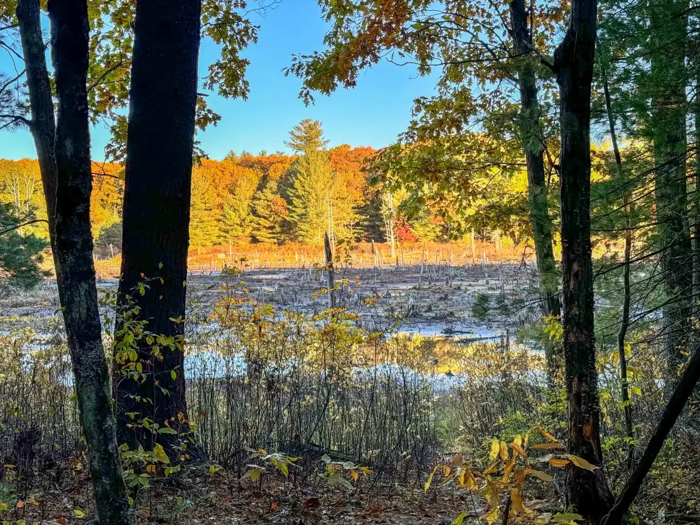
Come explore the trails of the 729-acre Ward Reservation, a Trustees property, leading to views of the Boston Skyline, open meadow, a quaking bog, and extensive beaver wetlands.
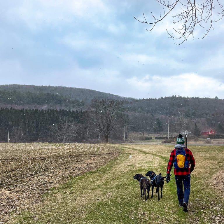
This trail packs a lot in – a true New England walk with farm lands, fences, stone walls, wide paths along an old logging road, and views from the Merrimack Valley toward the Boston skyline.
In this post, I tell you everything you need to know about this loop taking you to the top of Holt Hill and around Ward Reservation in about 3 miles. Learn where to park, trail details, and turn-by-turn trail directions to help you find your way! ☺️
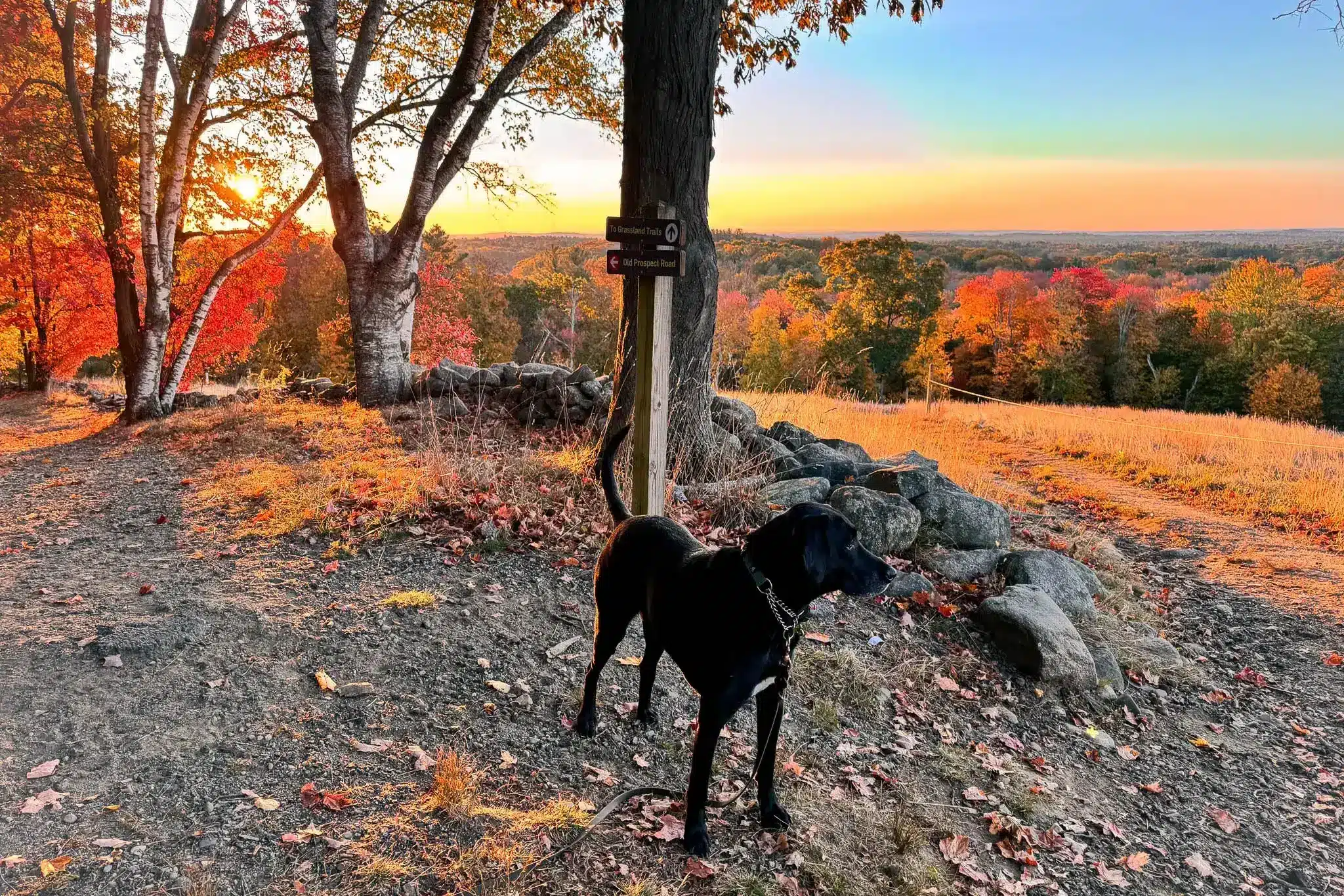
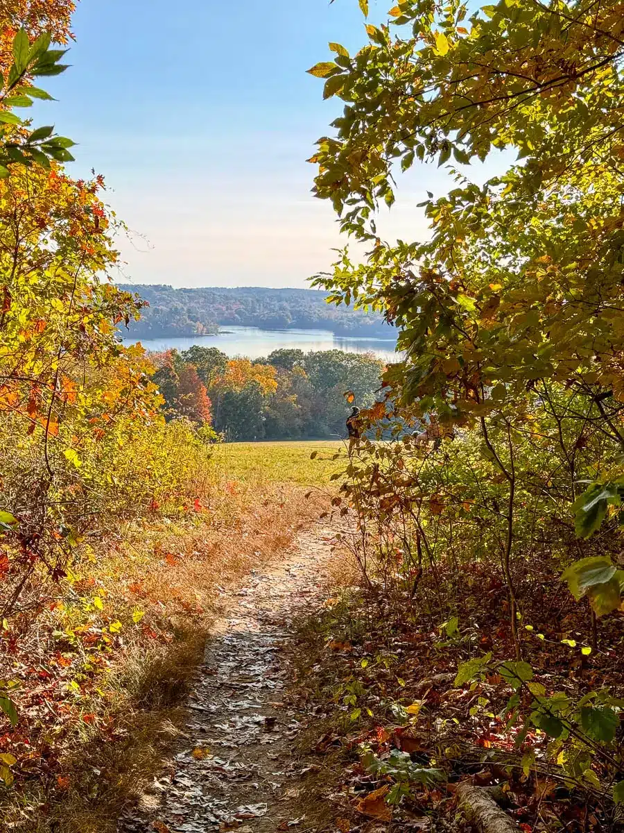
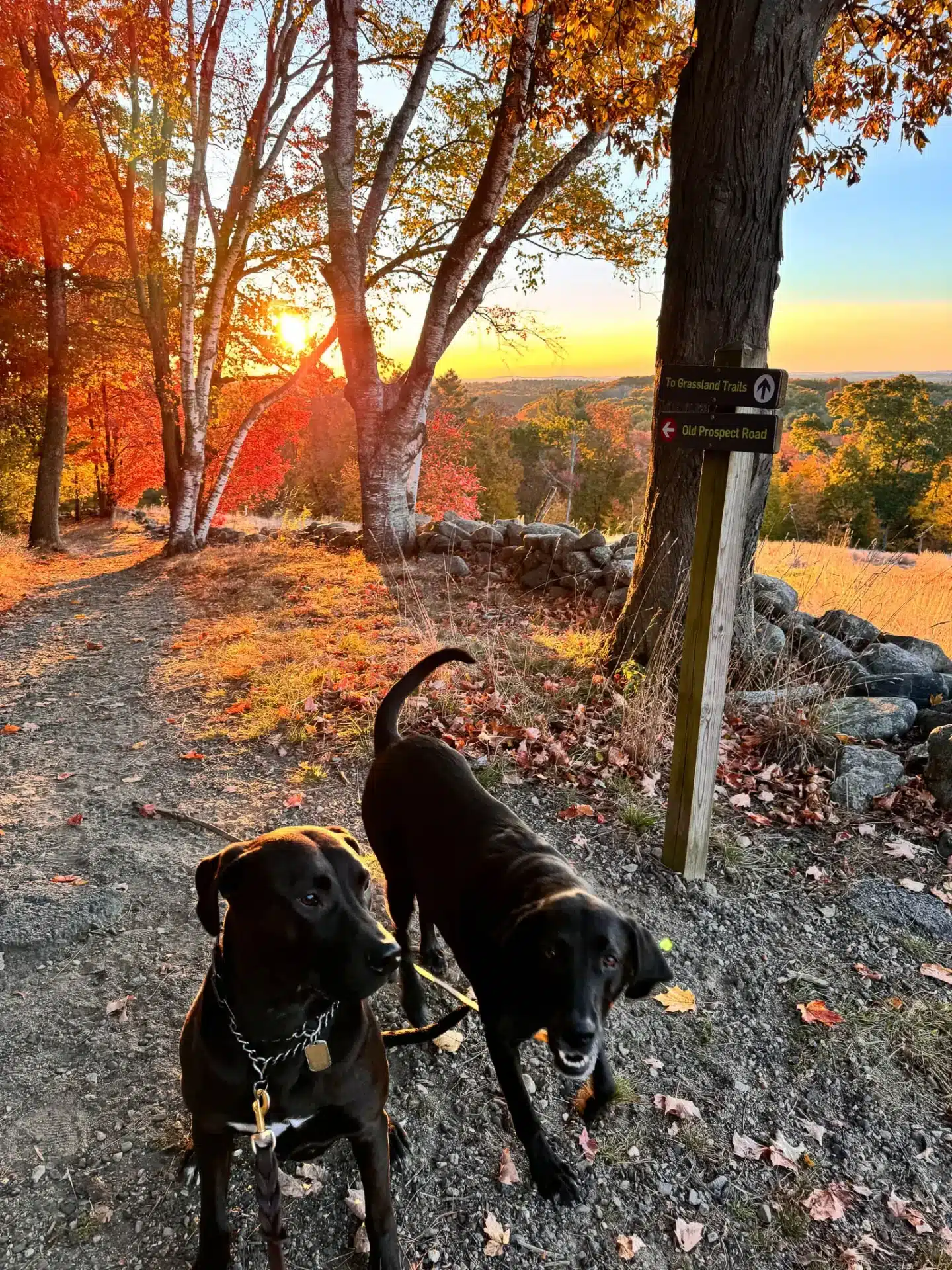
I loved the beauty and variety on this hike. It’s impeccably maintained thanks to management by the Trustees. We went in mid-October at sunrise time, and starting the loop counterclockwise, we were able to watch the sun come up from the top of the meadow at just 0.3 miles in.
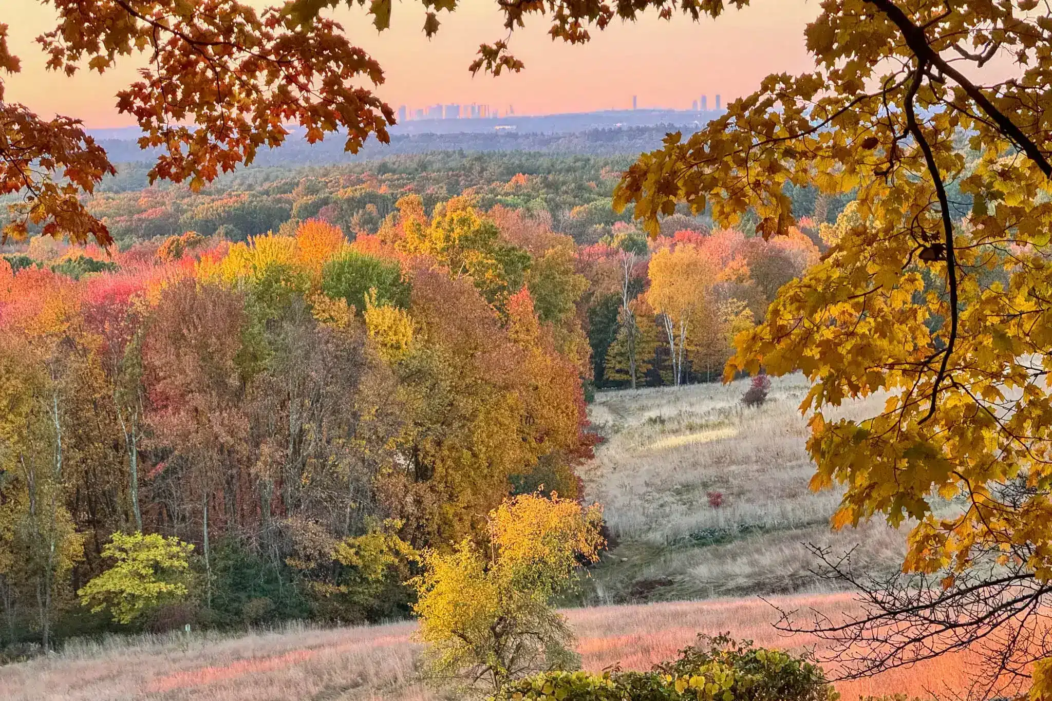
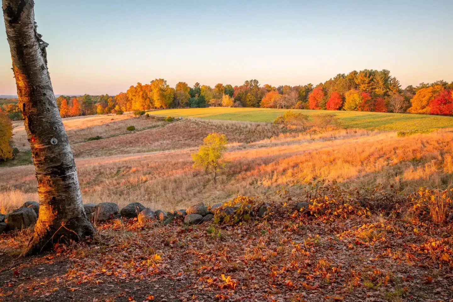
 Boston skyline in the distance! 🧡
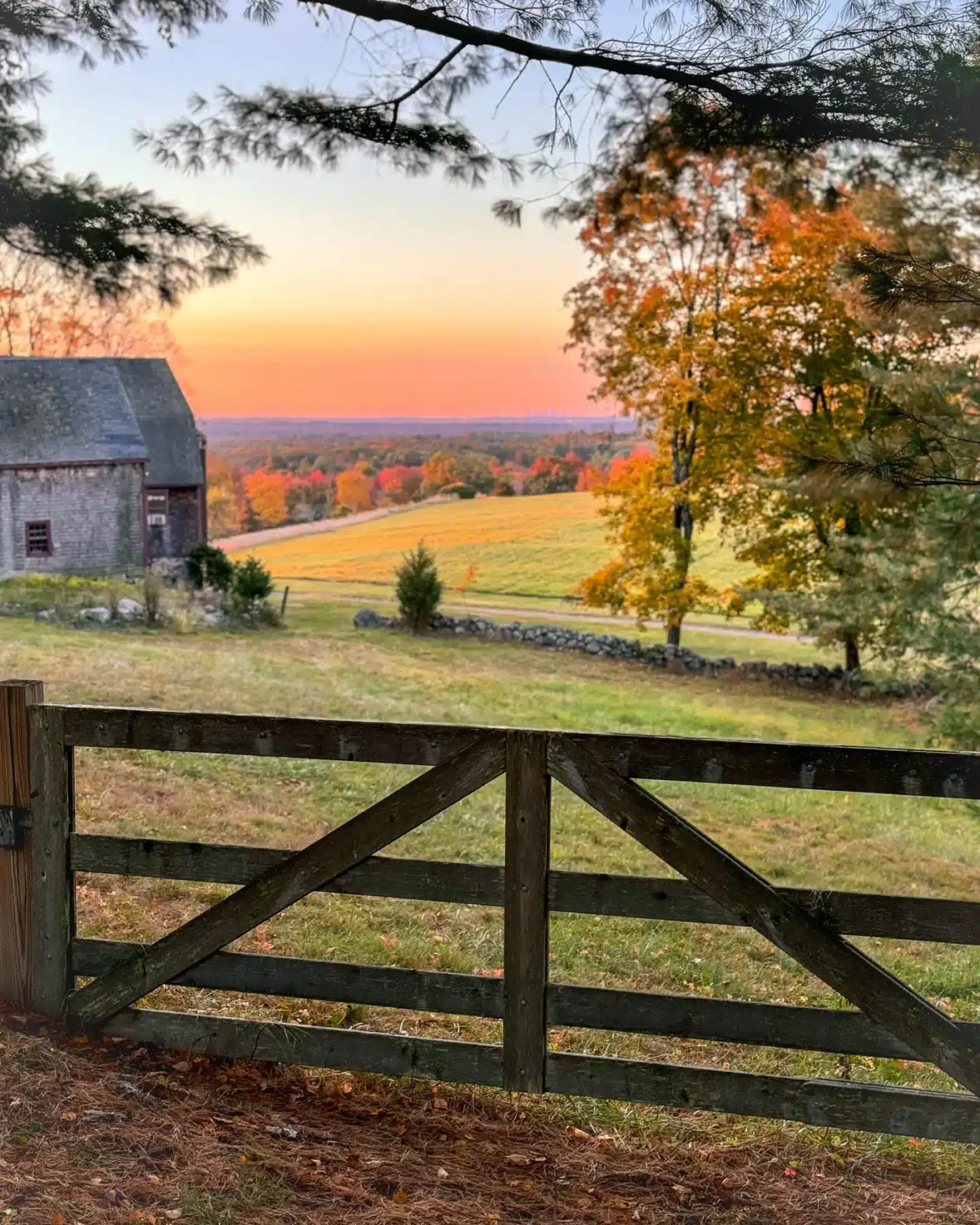 Farm property
The skyline of Boston in the distance and Great Meadows Reservation in the foreground made for incredible photo opportunities and a peaceful start to the day. The bustle of city life felt like a world away!
Ward Reservation Overview
🗺️ Just 24 miles north of Boston, Andover, Massachusetts, founded in 1646, has a rich colonial history and played a role in the abolitionist movement, hosting prominent figures like Frederick Douglass.
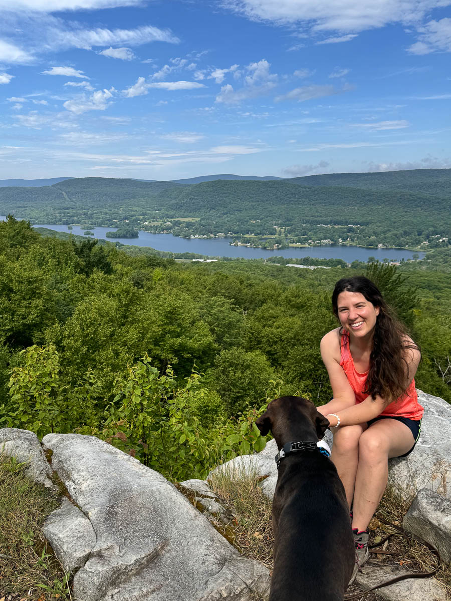
A natural gem in Andover is Ward Reservation, featuring 729 acres of woodlands, wetlands, and sprawling meadows. A highlight of this stunning property is Holt Hill, the highest point in Essex County at 420 feet, which offers stunning 360-degree views, including the Boston skyline.
(And if you’re looking for another Trustees property in Andover check out my trail guide all about hiking Weir Hill Reservation. :))
Managed by The Trustees of Reservations, strolling this sprawling property makes for an enjoyable outing for you and your pup. The Solstice Stones at the top of Holt Hill offer a unique landmark for photos and a beautiful place to rest and bask in the peaceful surroundings.
Beginning from the spacious parking area off of Prospect Road, you’ll head into the woods picking up the red trail, Old Prospect Road, where you will take the loop counterclockwise. You’ll encounter a small hill that quickly pays off with views facing southeast toward the Boston skyline.
The red trail loops around back to the beginning where you have the option of walking up the paved driveway to Holt Hill to see the Solstice Stones before walking back to the parking lot.
📍Ward Reservation & Holt Hill Hike Details
- Miles: 3 miles
- Elevation: 290 ft elevation gain
- Level: Easy to Moderate (no steep, rocky, or technical sections)
- Trail Type: Loop
- Average Time: 1 hour 20 minutes
- Parking: $6/vehicle, cards accepted (goes to The Trustees who manage the property) Click here to navigate to 42.64053, -71.11265
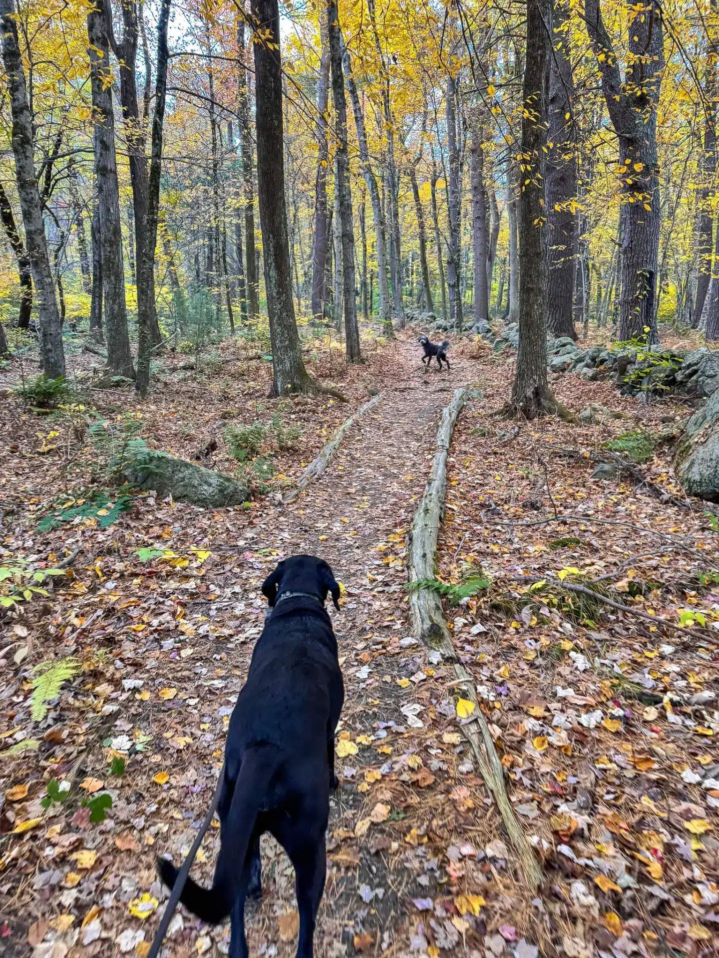
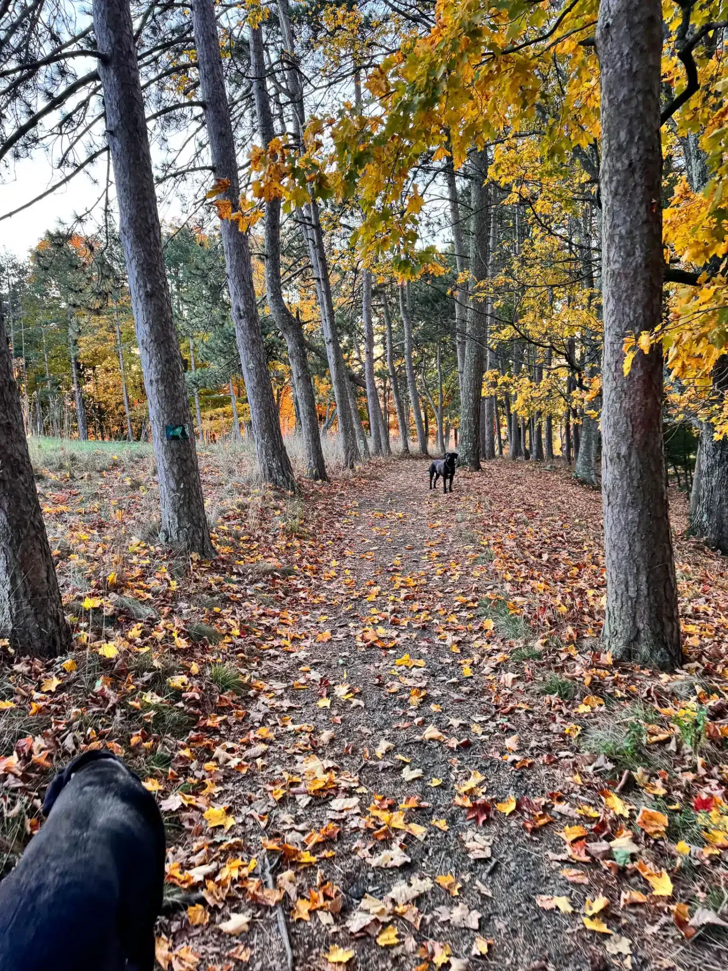
- Dog-friendly: Yes! Again, nothing technical here for dogs, wide paths in woods
- Trail Highlights: Wide paths on old logging roads, Holt Hill (highest point in Essex County), wide open meadow with views of Boston skyline 🏙️
🚗Find the trailhead: From the Memorial Hall Library exit the library and turn left toward Pearson Street and a quick right onto Pearson Street. After 170 feet turn right onto N Main Street (RT-28). After 0.9 miles, turn left onto Salem St. and go for 0.7 miles then turn left onto Prospect Rd. After 0.6 miles on Prospect Rd., you will arrive at 65 Prospect Rd. where there will be a large parking lot for Ward Reservation on the right.
🗺️ TURN-BY-TURN DIRECTIONS 🧭
1.) Walk out of the entrance parking lot and turn right to walk onto Prospect Rd for just a couple hundred feet to find the start of the trailhead and begin on the red trail.
2.) Bear right on Rachel’s Trail to begin the red trail loop going counterclockwise.
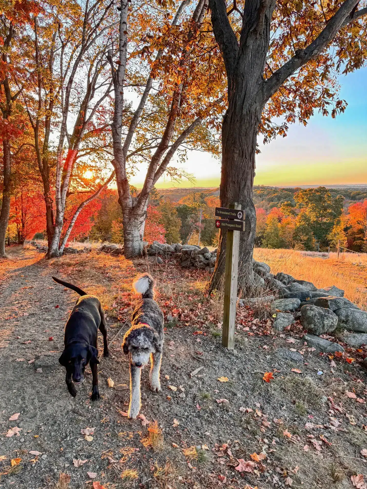
3.) At 0.3 miles, Rachel’s Trail becomes Old Prospect Rd trail. This is where the view over the Boston Skyline will be. Stay straight on the red onto Old Prospect Rd. trail.


4.) At 0.78 miles, go straight to stay on the red trail.
5.) At 0.85 miles, turn left onto the blue and red circle trail, which is Old Chestnut Street.
6.) At 1.1 miles, continue to stay straight on the red trail, you’ll see a sign here for Old Chestnut Street.
7.) At 1.26 miles, continue to stay straight on the red trail. Here you’ll see a kiosk with a map.
8.) At 1.60 miles, turn left onto the Judy family Trail, you are leaving the red trail now.
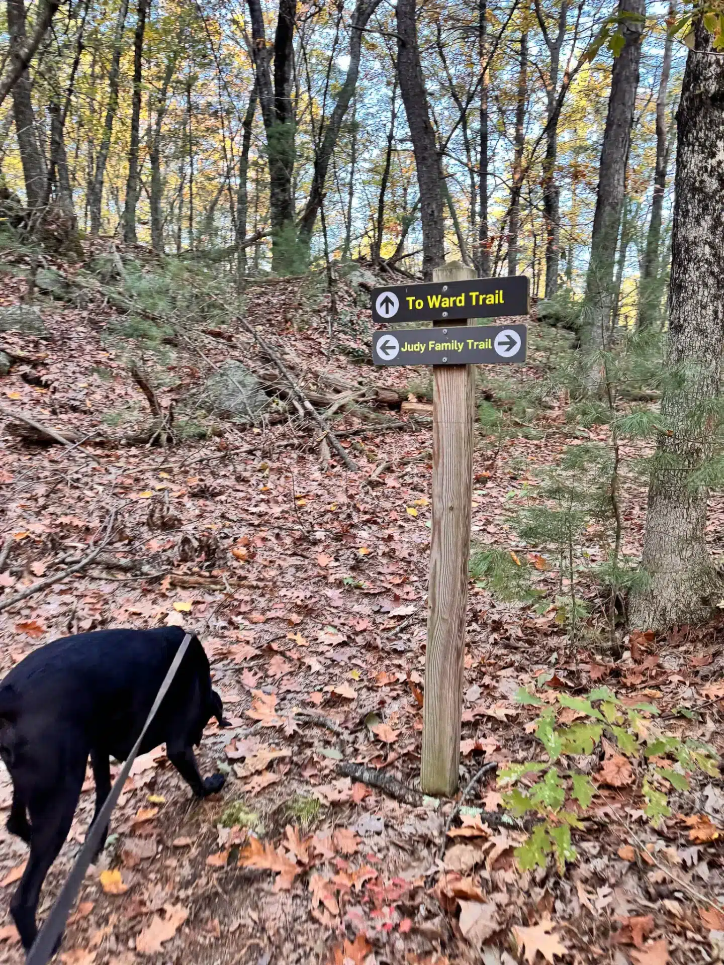
9.) At 1.83 miles, see a sign, take a right onto the Ward trail to get off the Judy Family Trail.
10.) At 1.87 miles, take a left onto the red circle marked Ward trail.

11.) At 2.40 miles, turn left to continue staying on the red marked Ward Trail.
12.) At 2.72 miles, walk up a small set of wooden stairs and then turn right onto the paved driveway. You are now on your way back to the parking lot. (If you’d like to see the Solstice Stones at the top of Holt Hill, you would take a detour and go left up the paved driveway to Holt Hill then back down to this spot.)
13.) At 2.8 miles, turn right onto Prospect Street where you started and where you’ll find the parking lot.
🩷 I hope you enjoyed this post all about hiking Ward Reservation & Holt Hill!
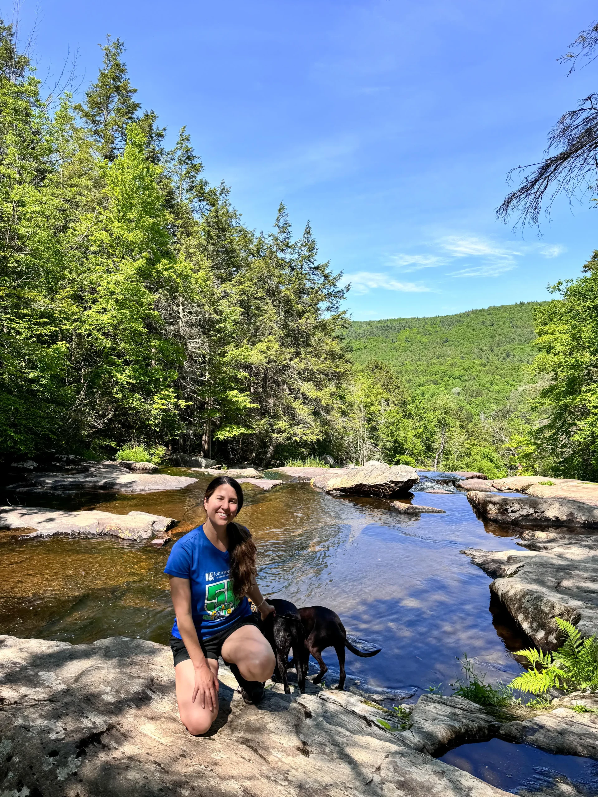
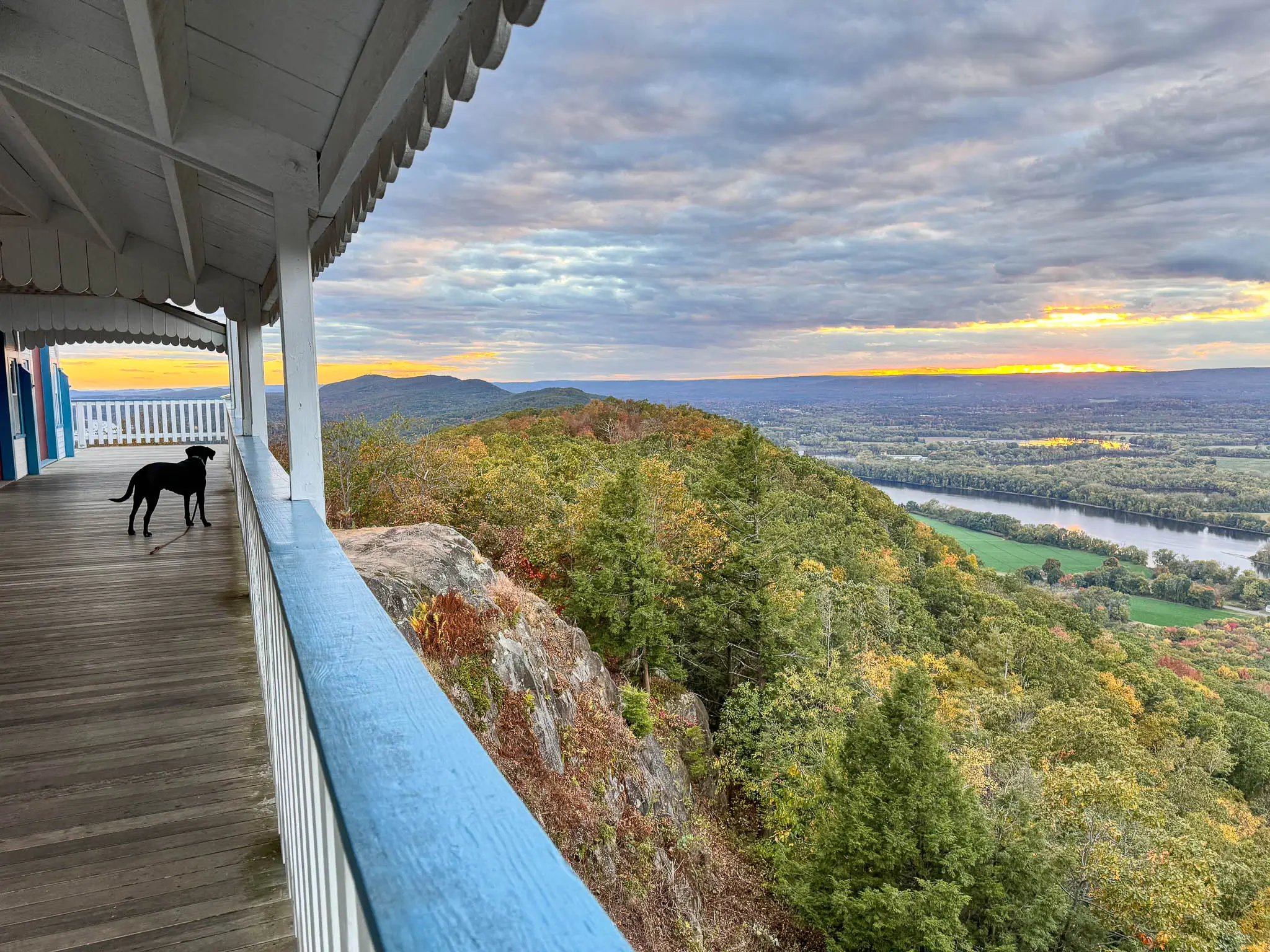
Enjoy more photos below…
Ward Reservation Photo Collage


Leave any questions below. And if you try it out and enjoy this trail I’d love to hear that, too! 🙂
And if you’re looking for another hike in Andover, check out my post ➡️ Weir Hill Reservation Trail Guide 💚