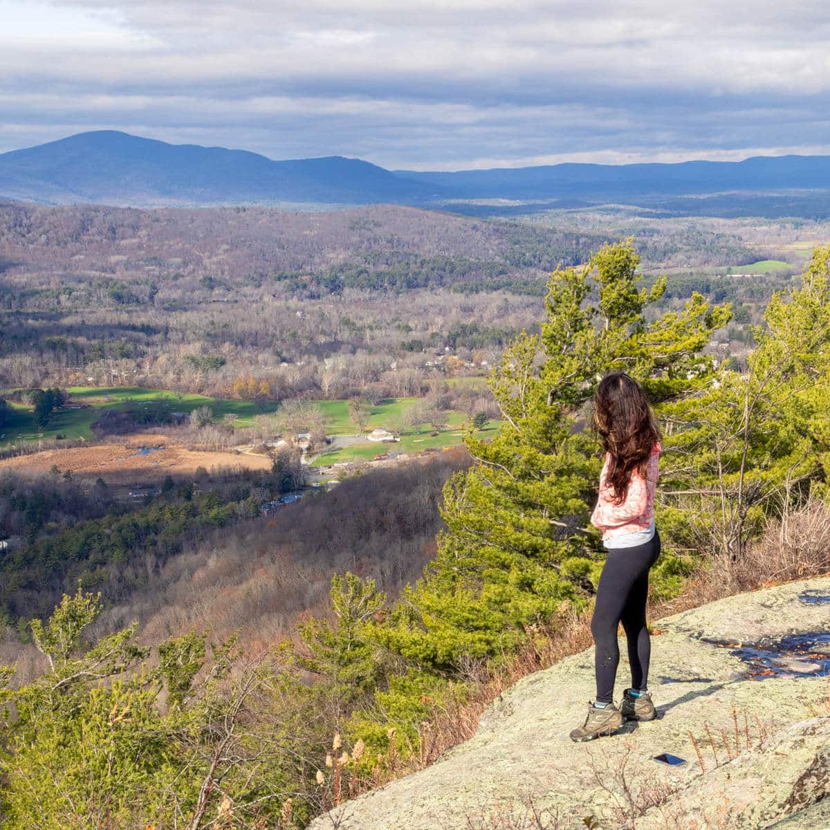
10 Hikes Near Hartford, Connecticut: Big Views, All Levels
Ahh, Connecticut’s capital! A big city surrounded by woodsy towns with more than their fair share of amazing hikes and views.
This was an easy list to put together! I’ve lived in Connecticut (almost) all my life and live in Hartford County. Aside from trails in Litchfield County, hikes around here are some of my favorite views in Connecticut.
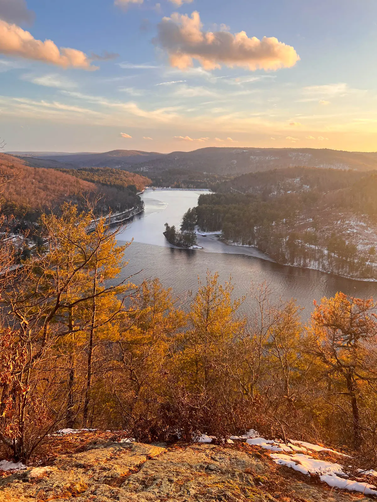
So if you live near Hartford or are just looking to explore a new part of the state, you’re in luck!
These 10 hikes are all between 15 and 40 minutes from Hartford. I had several more I could have included, but I wanted to keep this a true top 10 and share my favorites. All of these hikes are dog-friendly and I note which have a scramble or tricky parts for small children. 🙂
For each hike, you’ll find the total mileage, driving time from Hartford, difficulty, highlights, and even where to park! 🚗 🚙
I also include need-to-know details from my personal experience like which trail might be difficult for a beginner to navigate or which is super muddy, etc. 🙂 I’ve done every hike on this list multiple if not dozens of times.
So let’s get to it and explore some of the best trails around our state capital!
⛰️Top 10 Hikes Near Hartford, CT 🥾
1. Ratlum Mountain, Barkhamsted
- 🚙 Distance from Hartford: 40 minutes
- 🥾Total Miles & Difficulty: 2.3 miles, Moderate
- 📈Elevation Gain: 295 ft
- 🚙Parking: Click here to navigate to small pull off along Breezy Hill Rd
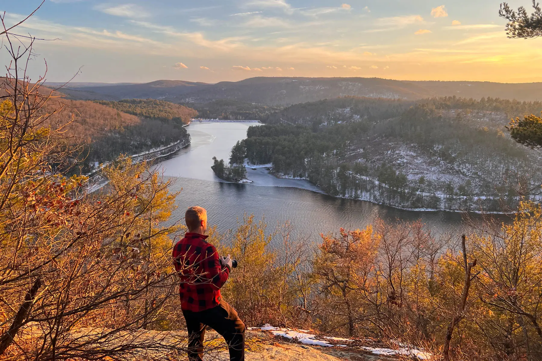
- 🌟Highlights: Big views over Lake McDonough
- 🔗 AllTrails Link
This hike is the farthest from Hartford out of all on the list – but I think it’s worth it!
It’s a pretty easy walk at 1.15 miles to get to the top and just a little bit of elevation gain. I suggest wearing sturdy hiking boots as the trail can be a bit rocky. This one is not as well trafficked which is nice cause it feels like a little secret!
And when you get to the top and see the view of Lake McDonough – woah! You will love it. Amongst the tall pine trees surrounding the lake, you’ll get a true wilderness feel.
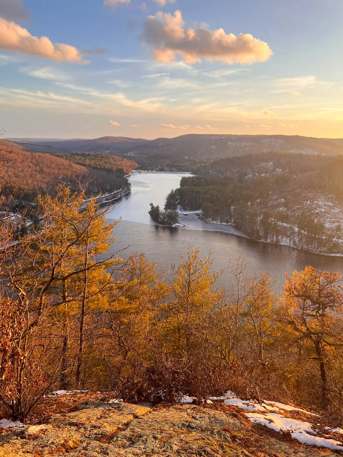
Just be careful at the top! The rocks are steep and you’ll be tempted to walk down for a closer look at the view. I have been here in several seasons but winter is definitely the most dangerous because those rocks become icy even if they don’t look like it. So use caution and keep kids and dogs close at the top!
2. Indian Council Caves, Barkhamsted
- 🚙 Distance from Hartford: 38 minutes
- 🥾Total Miles & Difficulty: 4.5 miles, Moderate
- 📈Elevation Gain: 849 ft
- 🚙Parking: Click here to navigate
- 🌟Highlights: Caves to explore & views at Pine Mountain
- 🔗 AllTrails Link
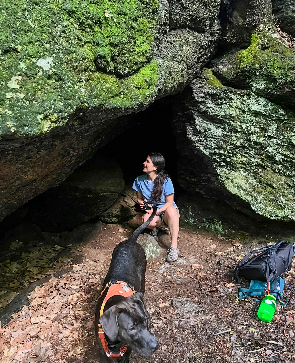
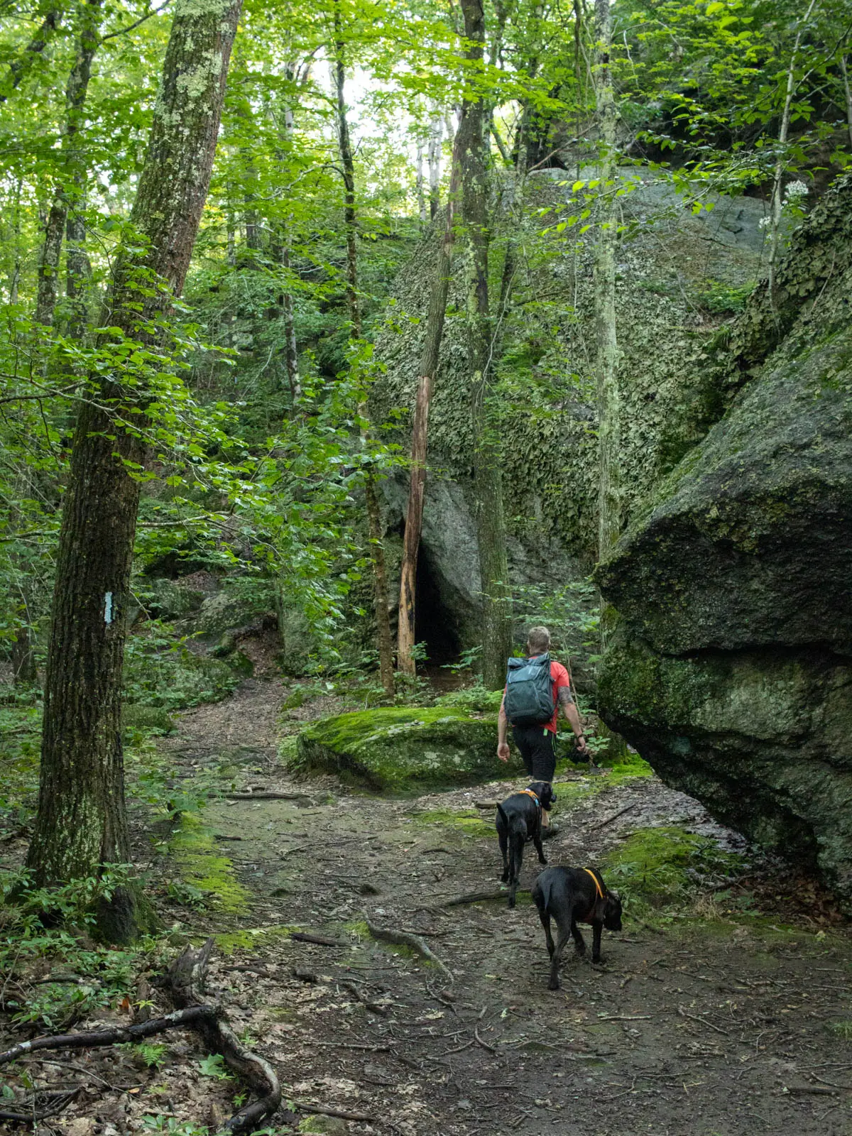
Under 40 minutes from Hartford you’ll find cave formations and a view, too! These aren’t true caves, but the sheltered openings between the rocks are fun to explore! 🪨🌲
I made this custom route on AllTrails combining both Indian Council Caves and views from Pine Mountain for a fun day hike in Hartford County.
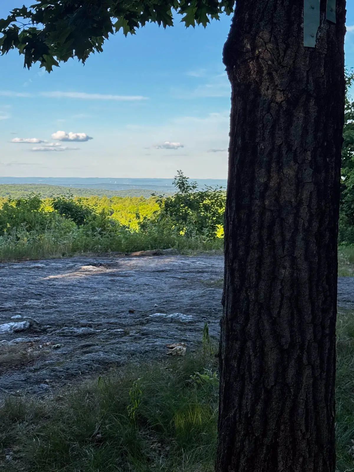
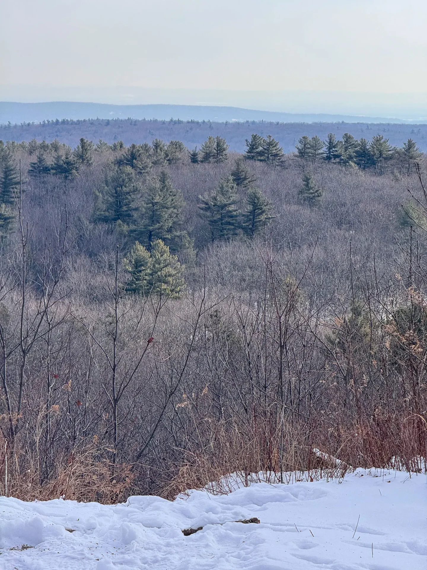 Winter view from Pine Mountain
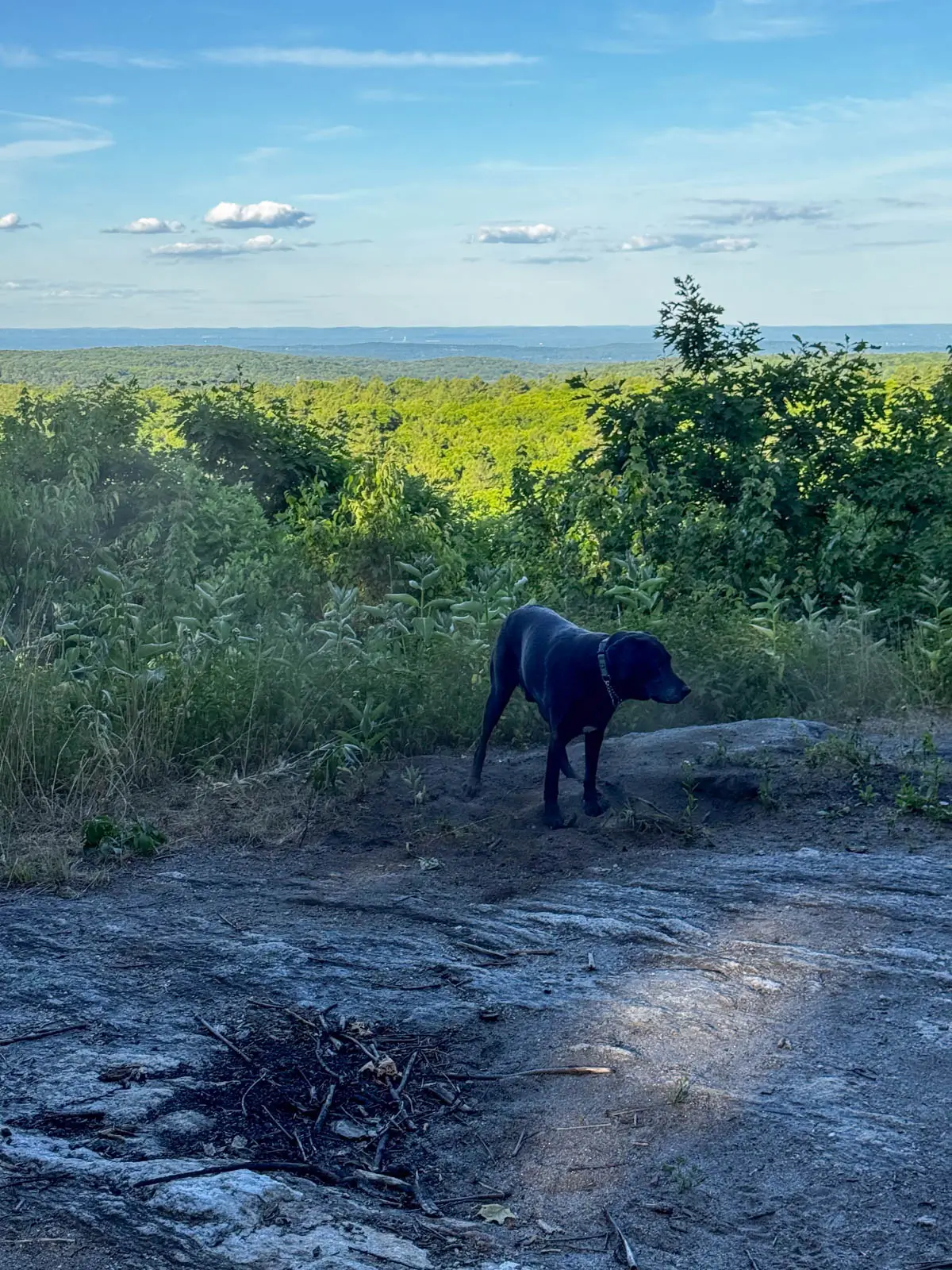 Summer view from Pine Mountain
From the parking pull off on the eastern side Rt 179 (E Hartland Road), cross the street and starting walking down the wide driveway looking path then quickly bear right onto the trail (and don’t follow the wide gravel path).
Keep staying to the right and in 1.2 miles you’ll arrive at Indian Council Caves. Native American artifacts have reportedly been discovered around the rock formations, though it isn’t known whether councils actually took place here. So while the name suggests a gathering place, that part of the story remains unconfirmed. What you can explore today is a dramatic collection of enormous boulders, overhangs, and sheltered openings tucked into the forest.
After exploring the caves, continue on the blue-blazed trail, bearing right at 2.4 miles, and arriving at Pine Mountain lookout at 3 miles in. Enjoy the views facing east across the tall pine trees. This would be a great sunrise spot! Turn around and retrace your steps back to the car. 🙂
3. Heublein Tower Trail & Talcott Mountain, Simsbury
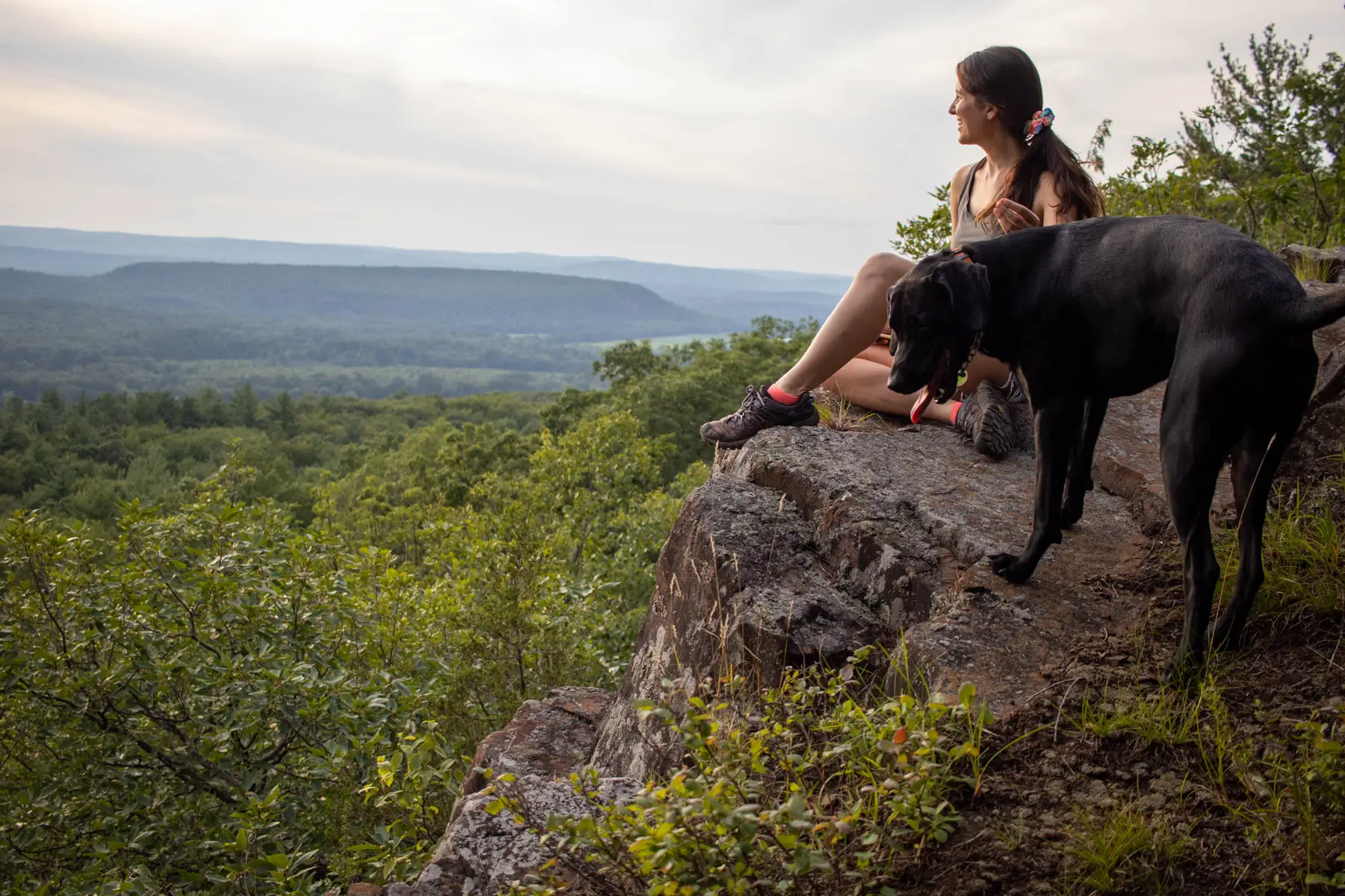
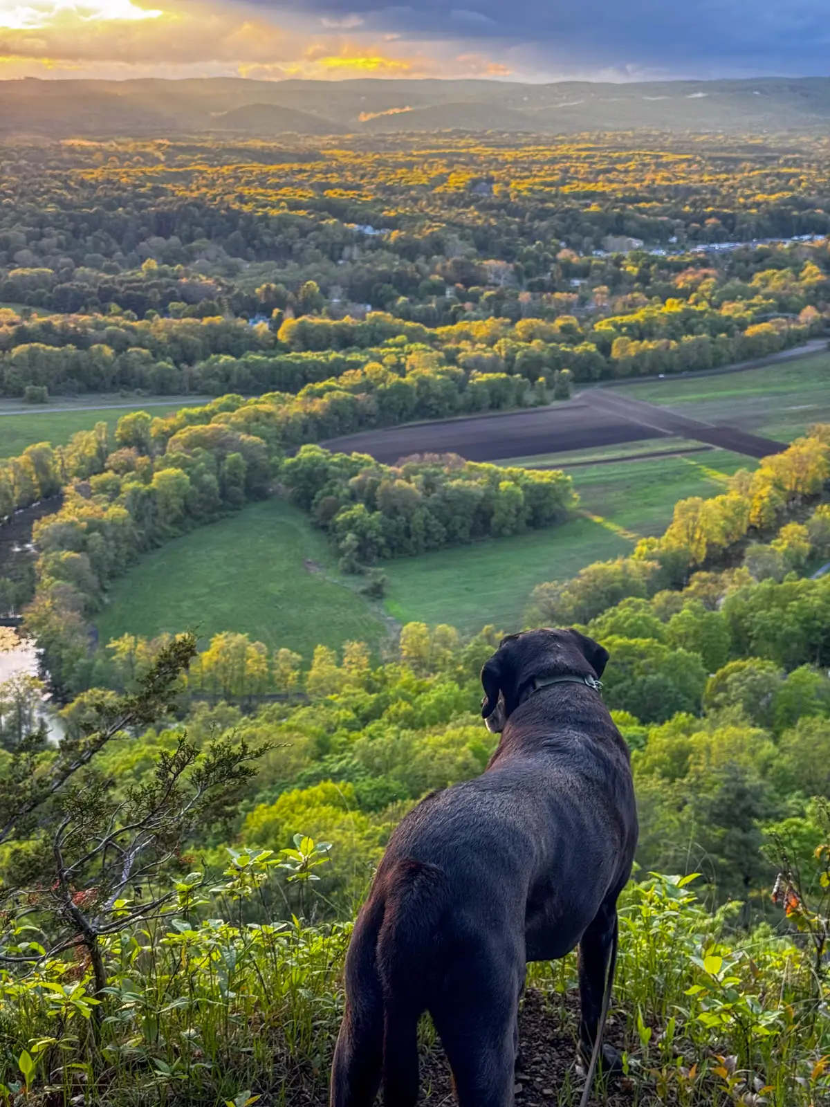 Captain on one of the edges along Talcott Mountain, so many views on this hike!
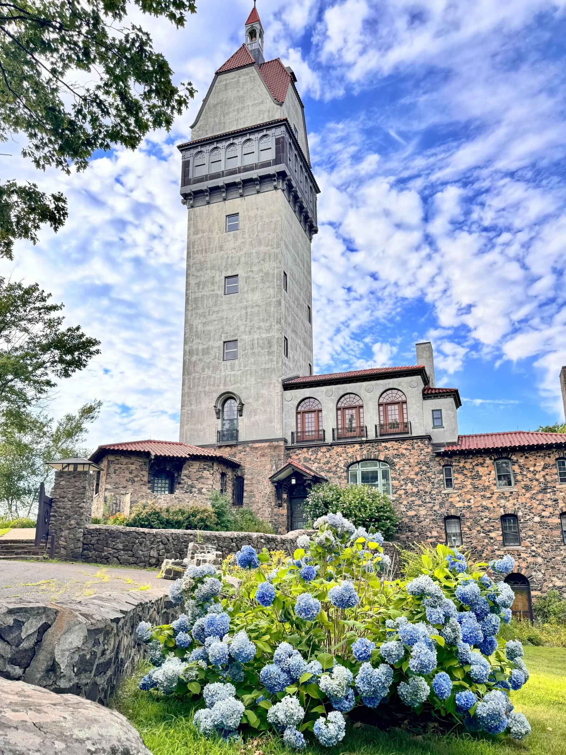
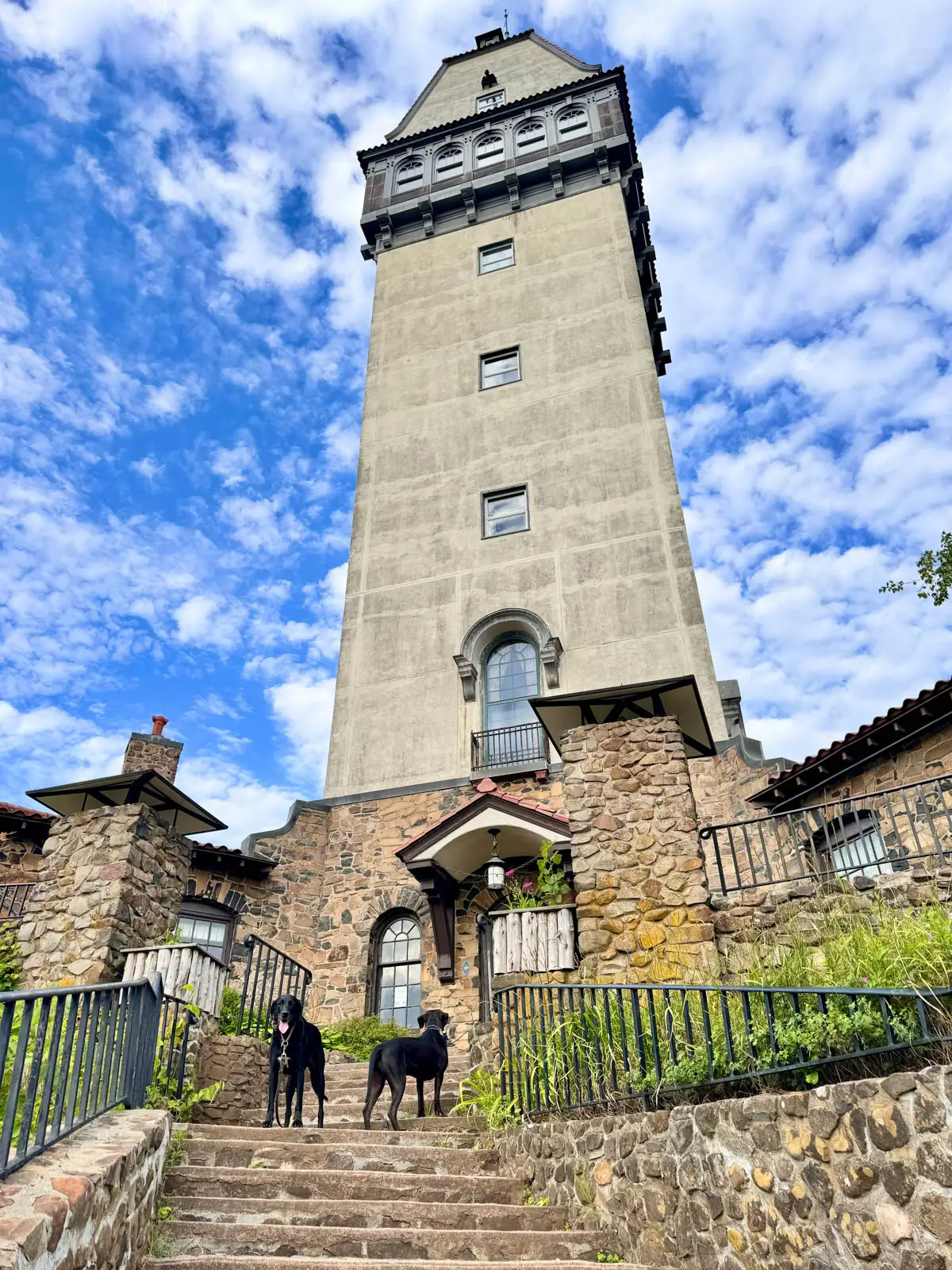 Heublein Tower
- 🚙 Distance from Hartford: 20 minutes
- 🥾Total Miles & Difficulty: 2.59 miles, easy to moderate
- 📈Elevation Gain: 427 ft
- 🚙Parking: Click here to navigate to large parking lot on Summit Ridge Drive
- 🌟Highlights: Tons of big views + Heublein Tower at the top
- 🔗 Talcott Mountain Trail Guide
This is a well-known and popular hike in Hartford County and for good reason! You’ve got the historic and beautiful Heublein Tower at the top (incredible views when it’s open!) plus view all along Talcott Mountain ridge.
Starting from the large parking lot halfway up Summit Ridge Drive, start past the gate and restrooms on the wide gravel path. There is a little steep incline at the start which is a nice workout then levels out as to get to the ridge with all the views.
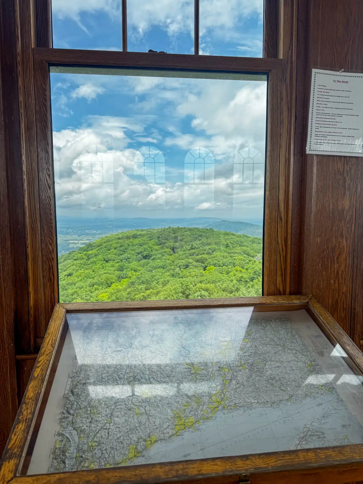 View from top of Heublein Tower 🌳
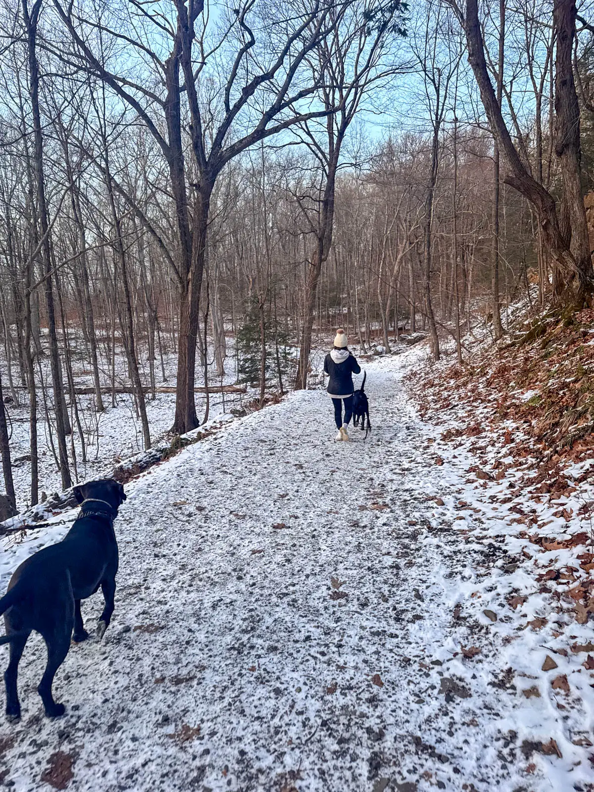
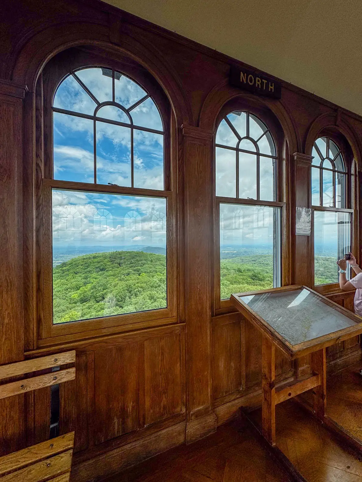
And from the ridge you have one more small uphill section but this whole hike is very moderate and not technical since there are no big rocks or steps to navigate. You’ll see people of all ages doing this one!
The Heublein Tower Trail is also very easy to follow since you’re just staying on the yellow-blazed wide path the whole time as it winds up the mountain, along the ridge, and then to the tower.
4. Peak Mountain via Metacomet Trail, Granby
- 🚙 Distance from Hartford: 20 minutes
- 🥾Total Miles & Difficulty: 3.6 miles, Moderate
- 📈Elevation Gain: 515 ft
- 🚙Parking: Click here to navigate to small pull-off along east side of Newgate Rd
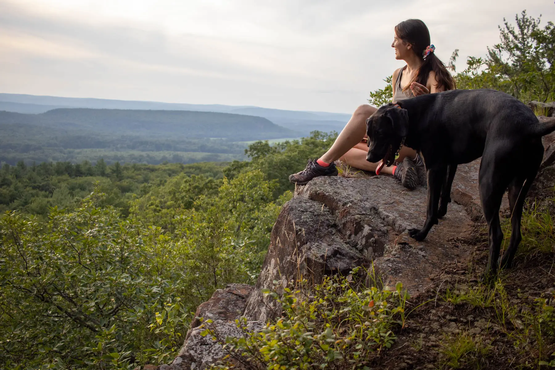
- 🌟Highlights: Rocky lookout facing west
- 🔗 AllTrails Link
This is a great little view that I love to do for sunset since it faces west! Starting from the small dirt pull-off on the eastern side of Newgate Rd, you’ll have a steep section of the blue-blazed Metacomet to start.
After the first 0.2 miles the trail begins to level out and become more enjoyable! Just be prepared for a quick start at the beginning. I’d suggest saving your lunch and snacks for the top and not right before. 🙂
At about 0.9 miles in, stay to the left to continue on the blue-blazed Metacomet Trail. At 1.3 miles in you’ll come to a western facing view and then the final and more open view arrives at 1.7 miles in.
From here you can turn back or continue on. In fact, you can go all the way to Massachusetts on the Metacomet Trail if you’d like. 😍 Otherwise, return to the car the way you came in.
5. Penwood State Forest, Simsbury
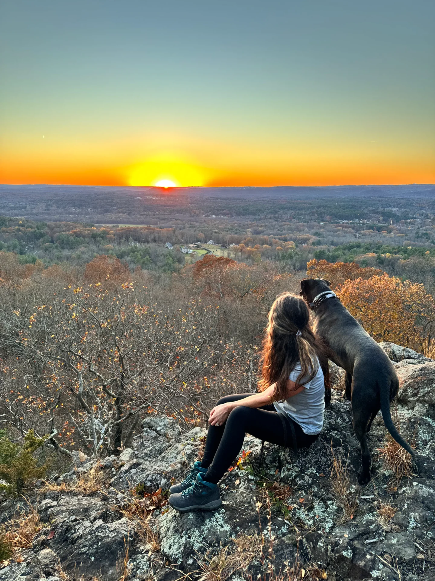 November sunset view from Penwood Lookout 🧡
- 🚙 Distance from Hartford: 20 minutes
- 🥾Total Miles & Difficulty: 4.6 miles
- 📈Elevation Gain: 764 ft
- 🚙Parking: Click here to navigate
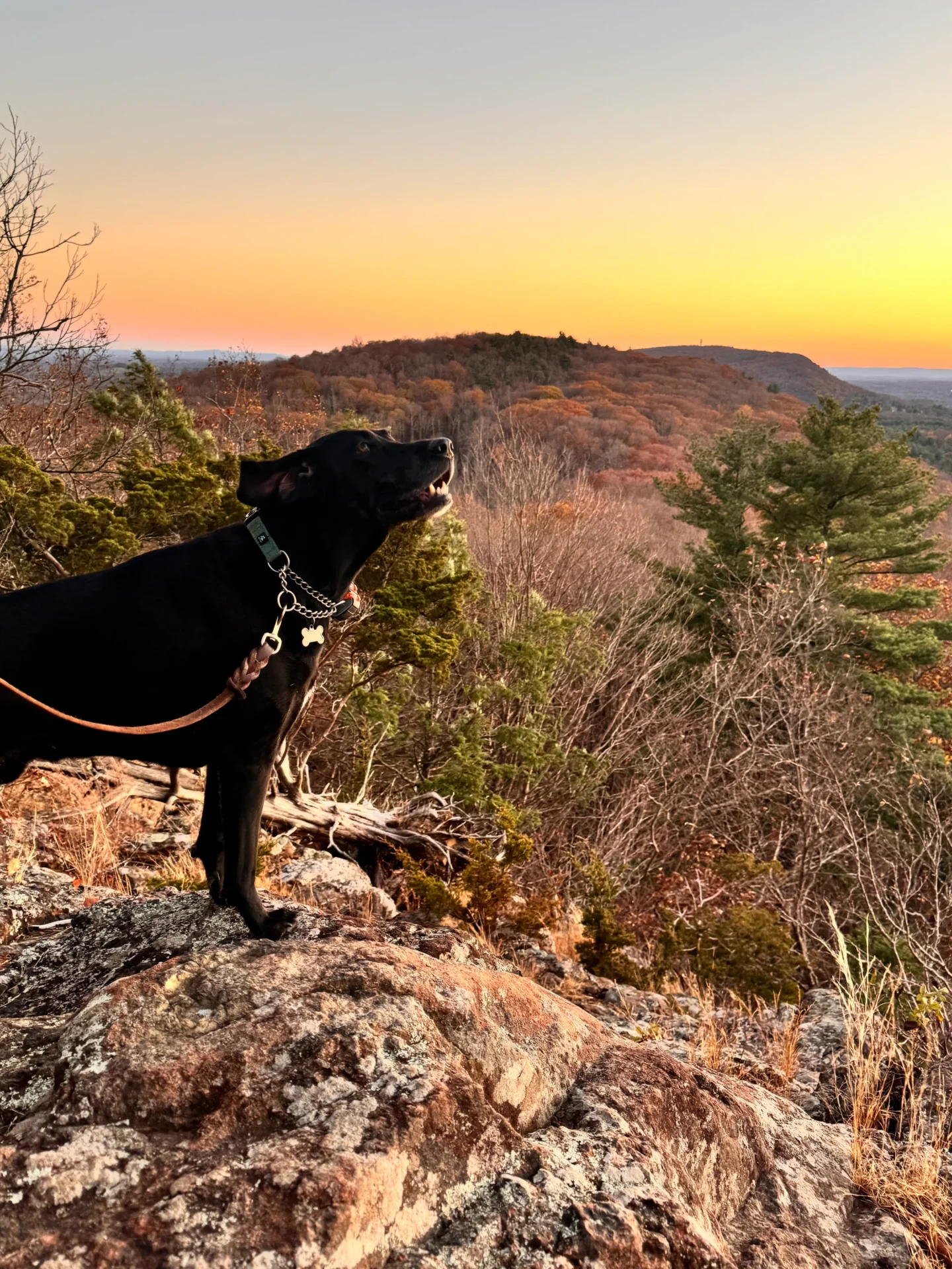
- 🌟Highlights: Wide open vista facing west overlooking Farmington Valley
- 🔗 AllTrails Link
Like Talcott Mountain, Penwood is another popular hiking destination in Hartford County. And it’s right across the street from Talcott Mountain on the other side of Simsbury Rd!
There are lots of trails to enjoy in Penwood State Forest. Linked below is a straightforward 4.6-mile round trip loop starting from the large parking lot off Hartford/Simsbury Rd in Penwood State Park. This and Talcott Mountain are both great options if you’re meeting a large group of people because of the ample parking.
There are even restrooms where you park. From here you can either walk up the paved road all the way to the view or you can take the trail to the left or the right of the paved road. It can be a little tricky to navigate here, so if you’re not great with AllTrails then take the paved path all the way up to the view.
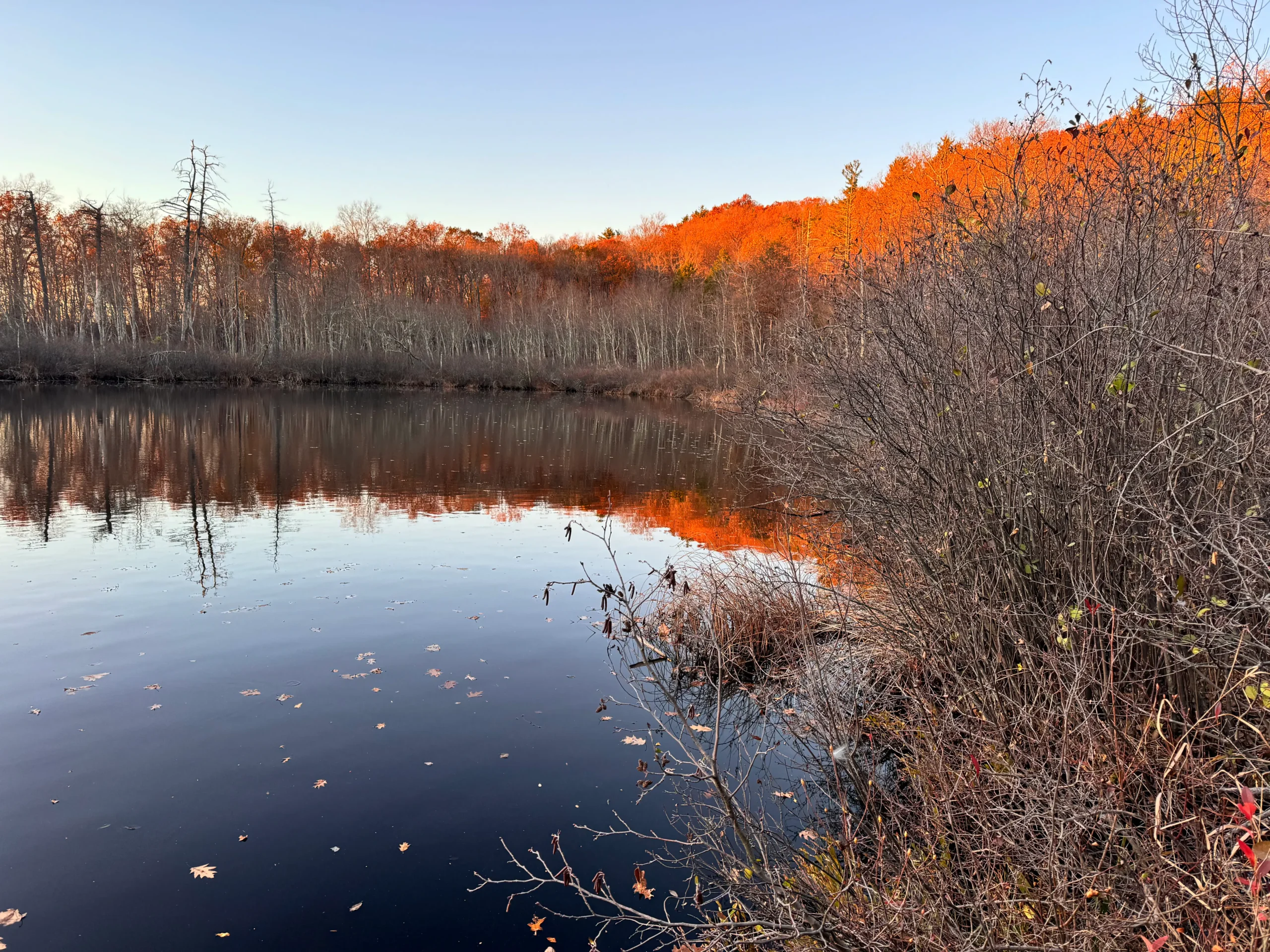
This view is also a great one for sunset since it faces west! For as nice as it is I rarely see anyone else up here which is kind of nice for a popular state park! Shortly before the view is Lake Louise with a little viewing platform that goes across the water.
6. Horse Guard State Park, Avon
- 🚙 Distance from Hartford: 23 minutes
- 🥾Total Miles & Difficulty: 1.1 miles
- 📈Elevation Gain: 288 ft
- 🚙Parking: Click here to navigate
- 🌟Highlights: Two big lookouts, short rocky scramble at top
- 🔗 AllTrails Link
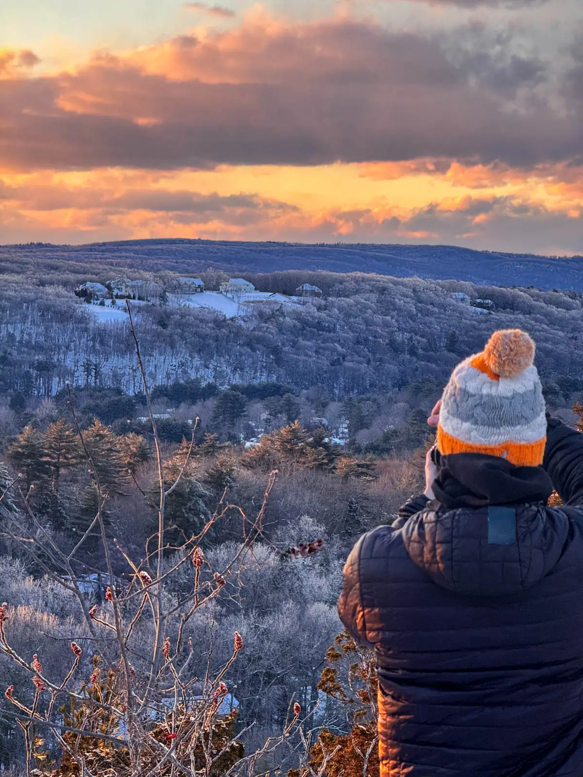
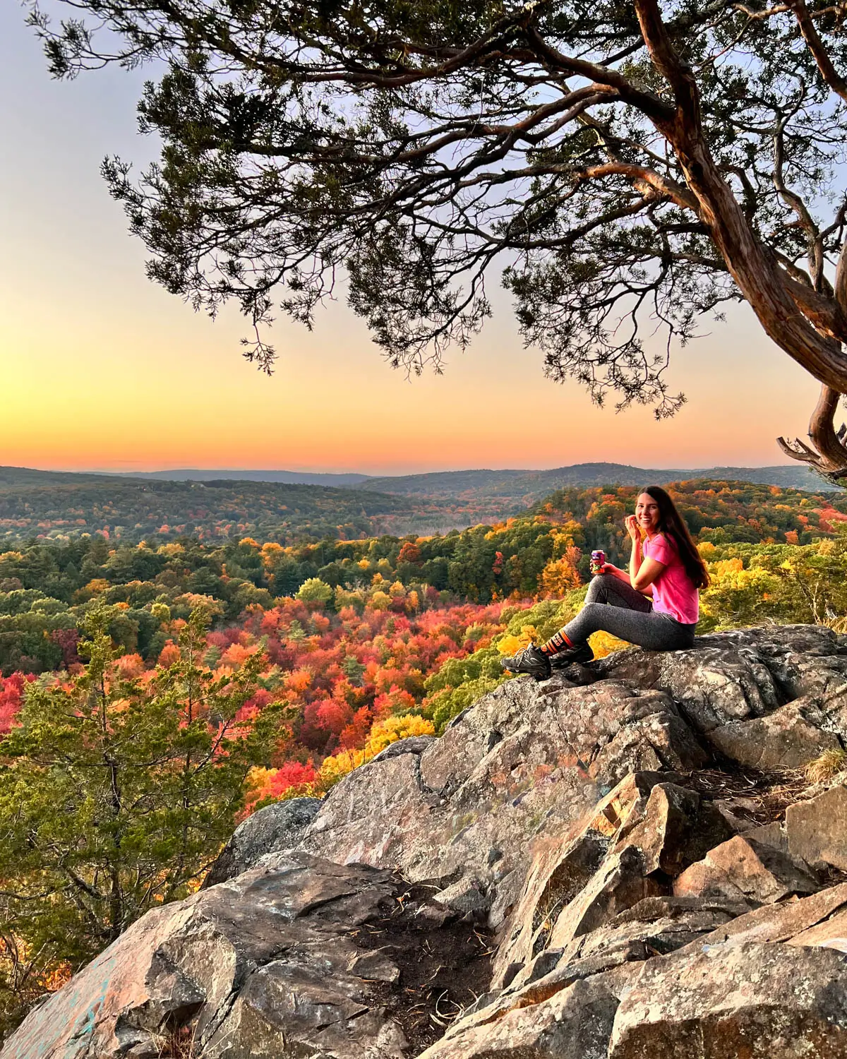
Horse Guard is a trail that’s near and dear to my heart! It used to be 7 minutes from where I lived and we used to hike here all the time for sunrise and sunset since it’s such a short walk to the views. The views you get for such a short trail 🤩 it’s incredible!
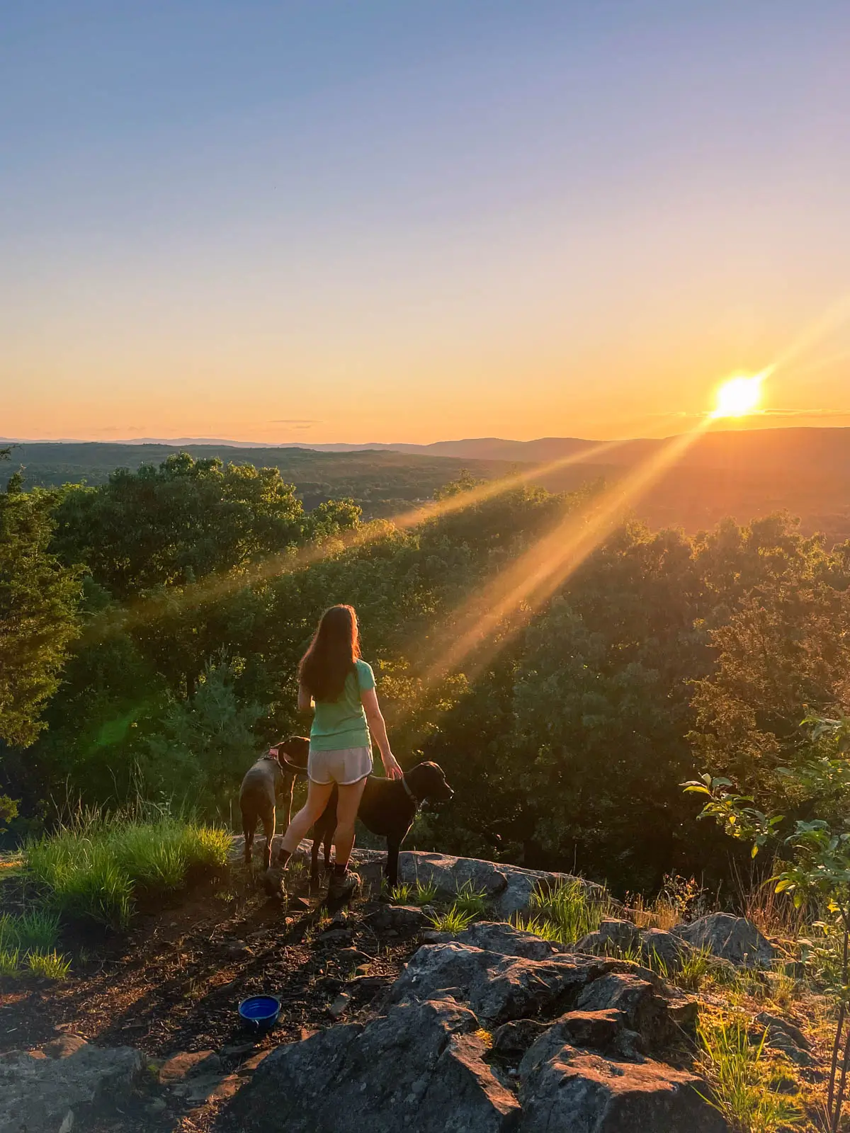
You’ll start from the easy-to-miss parking lot off Rt 167 (West Avon Rd). The parking lot is on the west side of the road across from the horse farm. From here you’ll take the trail up and then take a quick right at just 0.1 miles in at the fork.
You will stay on the white-blazed trail. One thing to note, it can be REALLY muddy here after rain or snow melt. Wear shoes that you don’t mind getting DIRTY. In fact, I’d wear sturdy hiking shoes/boots since we’ve got a short but very steep scramble section at the top!
So speaking of the scramble part, at 0.4 miles in you will turn right and see the rocky scramble emerge. It’s time to use your hands, feet, put your phone in your pocket, and just get to the top any way you can! (It’s kind of hard to follow the exact blazes and path here but the white blazes are there on the rocks).
There are a few trees near the top whose branches come in handy as you hoist yourself up. It will a little exhilarating push as you get to the top and take in the initial views. But don’t stop here – because just ahead a little bit more you come to almost 360-degree views, facing both east and west.
The only part that stinks about this trail is the graffiti that’s sometimes at the top. Like c’mon kids, it’s NOT cool! 😱 Please stop. 🙏 That aside, enjoy the views across the Farmington Valley in multiple directions and maybe don’t tell the teenagers. 👀
7. Northwest Park, Windsor
- 🚙 Distance from Hartford: 16 minutes
- 🥾Total Miles & Difficulty: 5.7 miles (or shorter, lots of options to make shorter loop)
- 📈Elevation Gain: 298 ft
- 🚙Parking: Click here to navigate
- 🌟Highlights: Ridge all along Farmington River with views of river, farm animals, barns
- 🔗 AllTrails Link
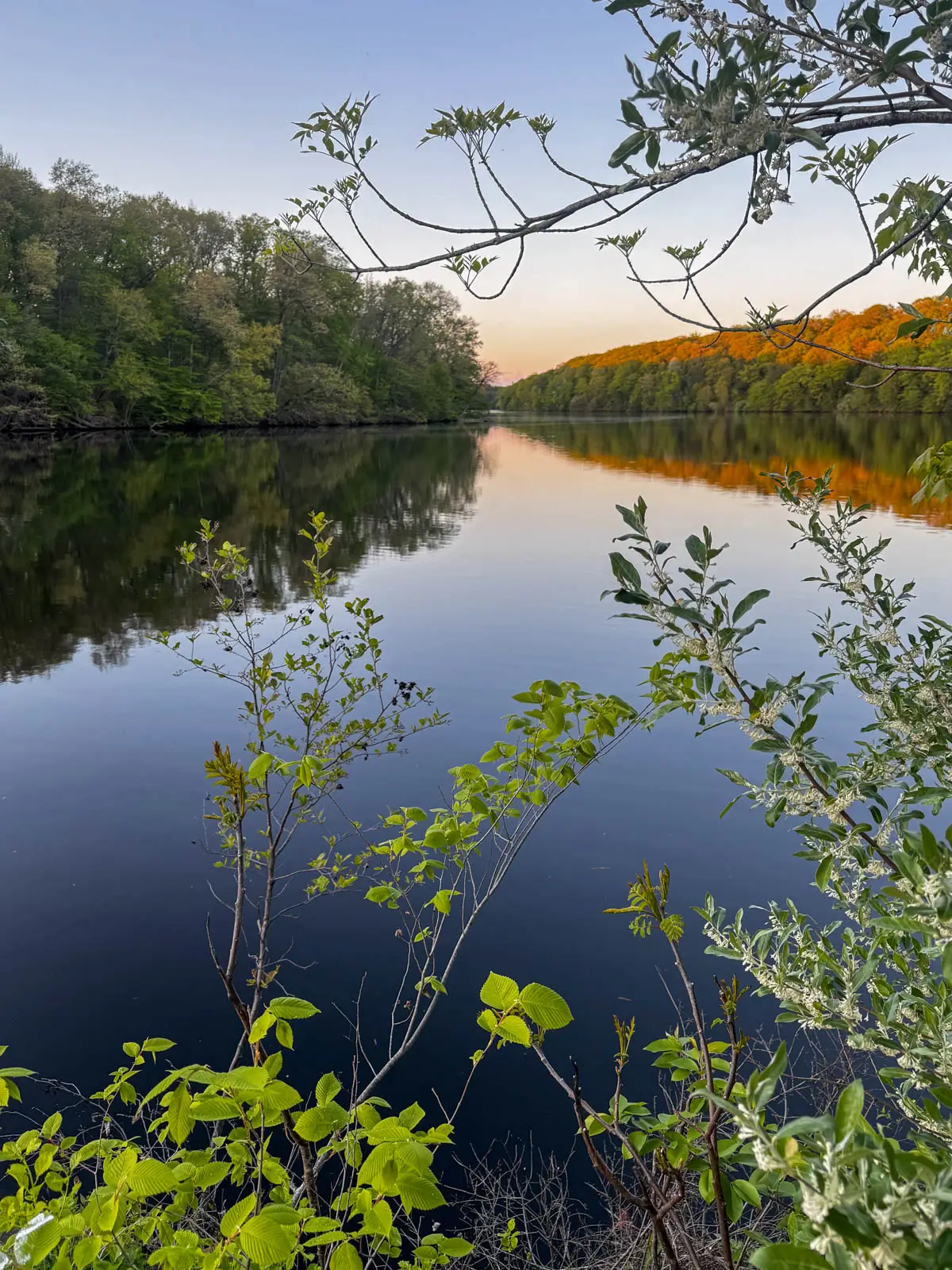
I hiked here for the first time recently and loved it! There are farm animals at the start where you park in the large lot. Then there are trails that go along and above the Farmington River.
Love a scenic river trail when you can see the water through the trees! Below is a 5+ mile trail linked but you don’t have to do the whole thing since you’re not hiking to a summit. You can walk for as long as you want and then just turn around!
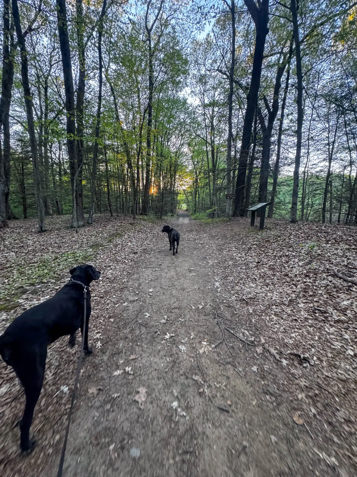
I liked that the trails here were wide and pretty flat. It’s more like a walk in the woods which is nice when you don’t feel like anything technical or strenuous.
8. Case Mountain, Manchester
- 🚙 Distance from Hartford: 15 minutes
- 🥾Total Miles & Difficulty: 3.6 miles to 4.4 miles
- 📈Elevation Gain: 449 ft
- 🚙Parking: Click here to navigate
- 🌟Highlights: Views facing east toward Hartford
- 🔗 Case Mountain Trail Guide
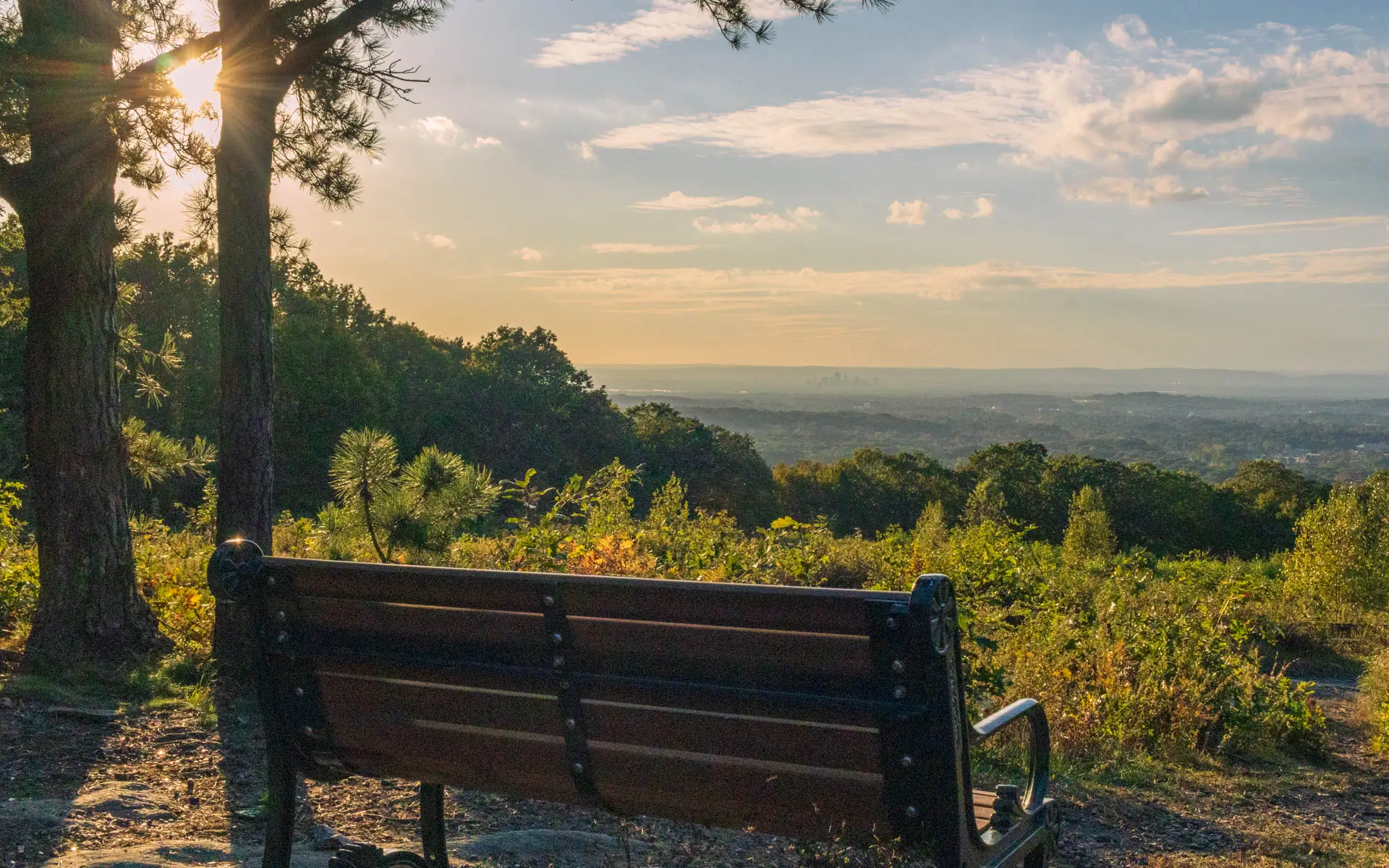
Case Mountain is a great choice for a walk in the woods with a view of the Hartford skyline! I loved that there weren’t long, steep climbs or big rocky steps to get to the lookout. There are even benches at the top where you can sit and enjoy the view!
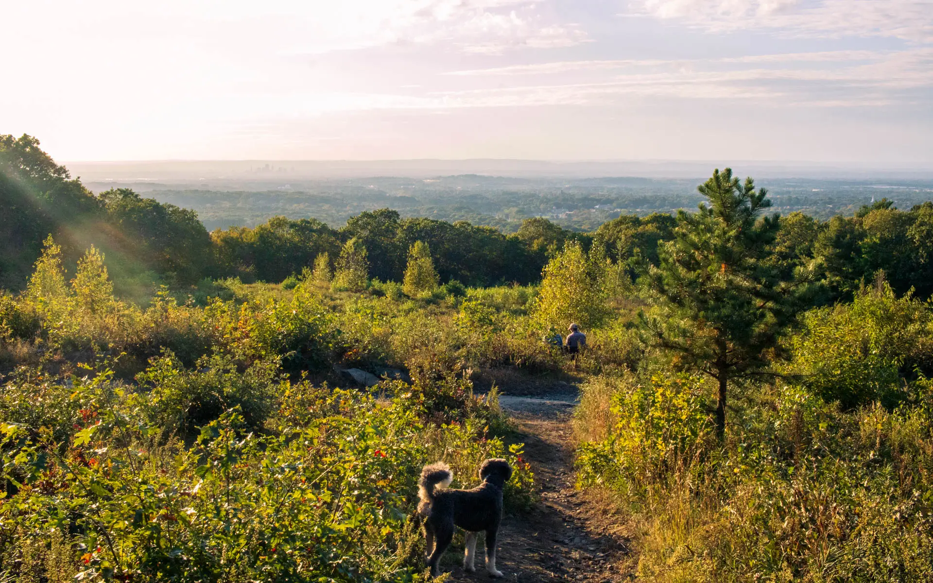
Park in the lot on Line Street, just off Route 83/South Main Street, and cross the road to start on the yellow trail. Follow the Lookout Mountain Loop route, keeping right for the first 0.4 miles, then continuing straight through the intersections until the loop splits at about 0.7 miles. We went left here, hiking clockwise and reaching the lookout about 1.8 miles from the parking lot.
You can finish the full 4.4-mile loop, with about 449 feet of elevation gain, or return the way you came for roughly 3.6 miles total, which is what we did! Keep a trail map handy because there are lots of connecting paths. Watch for mountain bikers sharing the trails!
9. Hedgehog Trail, Simsbury
- 🚙 Distance from Hartford: 30 minutes
- 🥾Total Miles & Difficulty: 4.8 miles (or shorter option)
- 📈Elevation Gain: 912 ft
- 🚙Parking: Click here to navigate
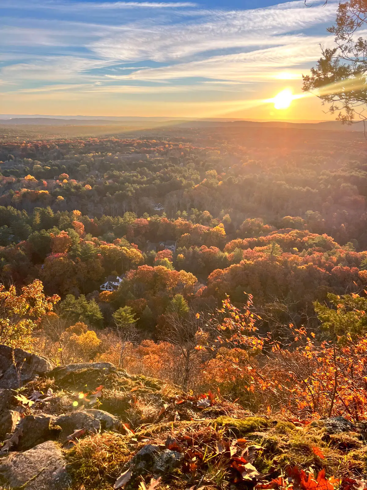
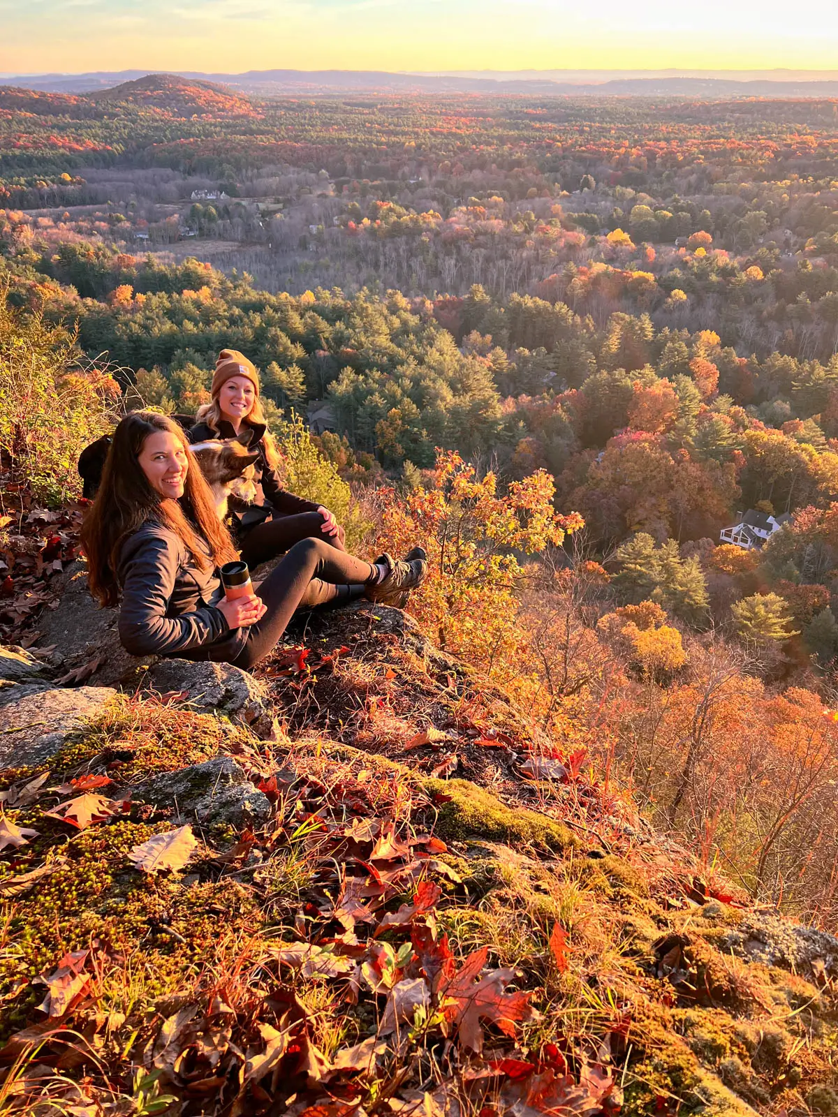
- 🌟Highlights: Two different lookouts (big views!), small waterfall Cathles Falls just off main trail as optional stop
- 🔗 Hedgehog Trail Hiking Guide
The Hedgehog Trail up West Mountain in West Simsbury is one I’ve hiked in every season! With three lookouts, wooden bridges, brooks, and a waterfall detour, there’s so much to love here. All three views face east, making it a beautiful option for sunrise, too! 🌄
For the full 4.8-mile loop, park in the tucked-away lot on Westledge Road/Route 309, between Pasture Lane and Woodchuck Hill Road. Start on the red trail, cross the bridge over Hop Brook, and stay left toward the kiosk. At the loop junction about 0.4 miles in, go right to follow the red trail counterclockwise. You’ll cross The Master’s School driveway before continuing to the first lookout around 1.7 miles in.
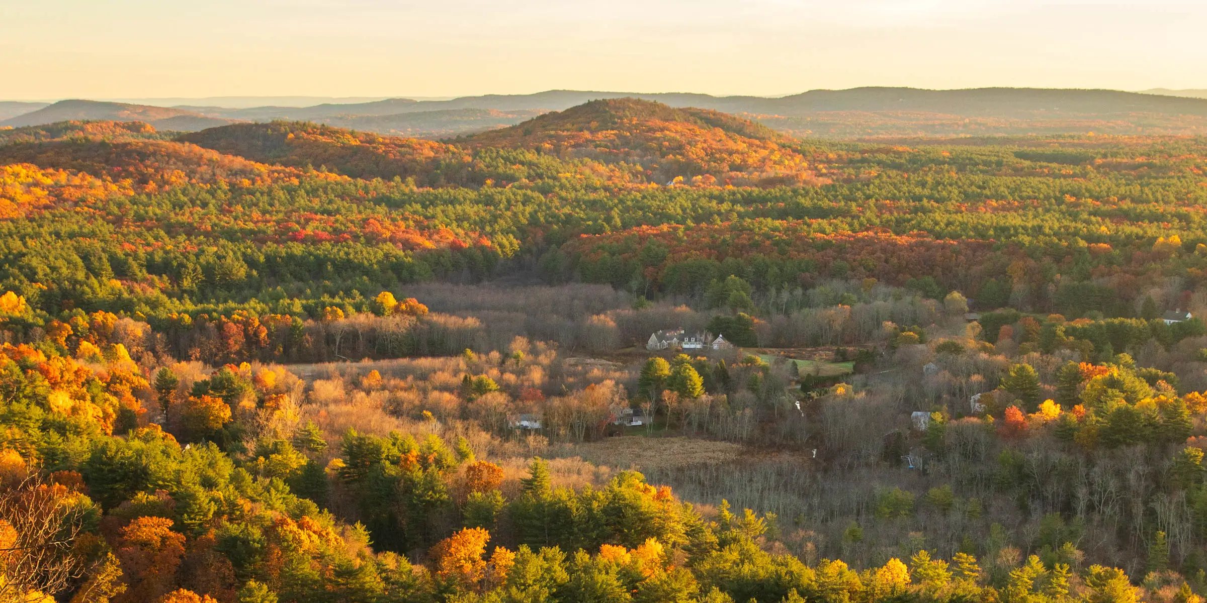

From there, descend the rocky section toward the next bridge. A short detour, a right on the white trail, leads to Cathles Falls! Return and follow red across the bridge and uphill for two more lookouts, about 0.1 miles apart. Retrace back down to the bridge, then connect white to blue to finish the loop.
This is a moderate to difficult hike with some steep sections. I would bring LOTS of SNACKS. I always underestimate this one for some reason!
10. Gay City State Park & Blackledge Falls, Glastonbury

- 🚙 Distance from Hartford: 20 minutes
- 🥾Total Miles & Difficulty: 5.44 miles
- 📈Elevation Gain: 492 ft
- 🚙Parking: Click here to navigate
- 🌟Highlights: Abandoned town ruins, Blackledge Falls waterfall, pond
- 🔗 Gay City State Park Trail Guide
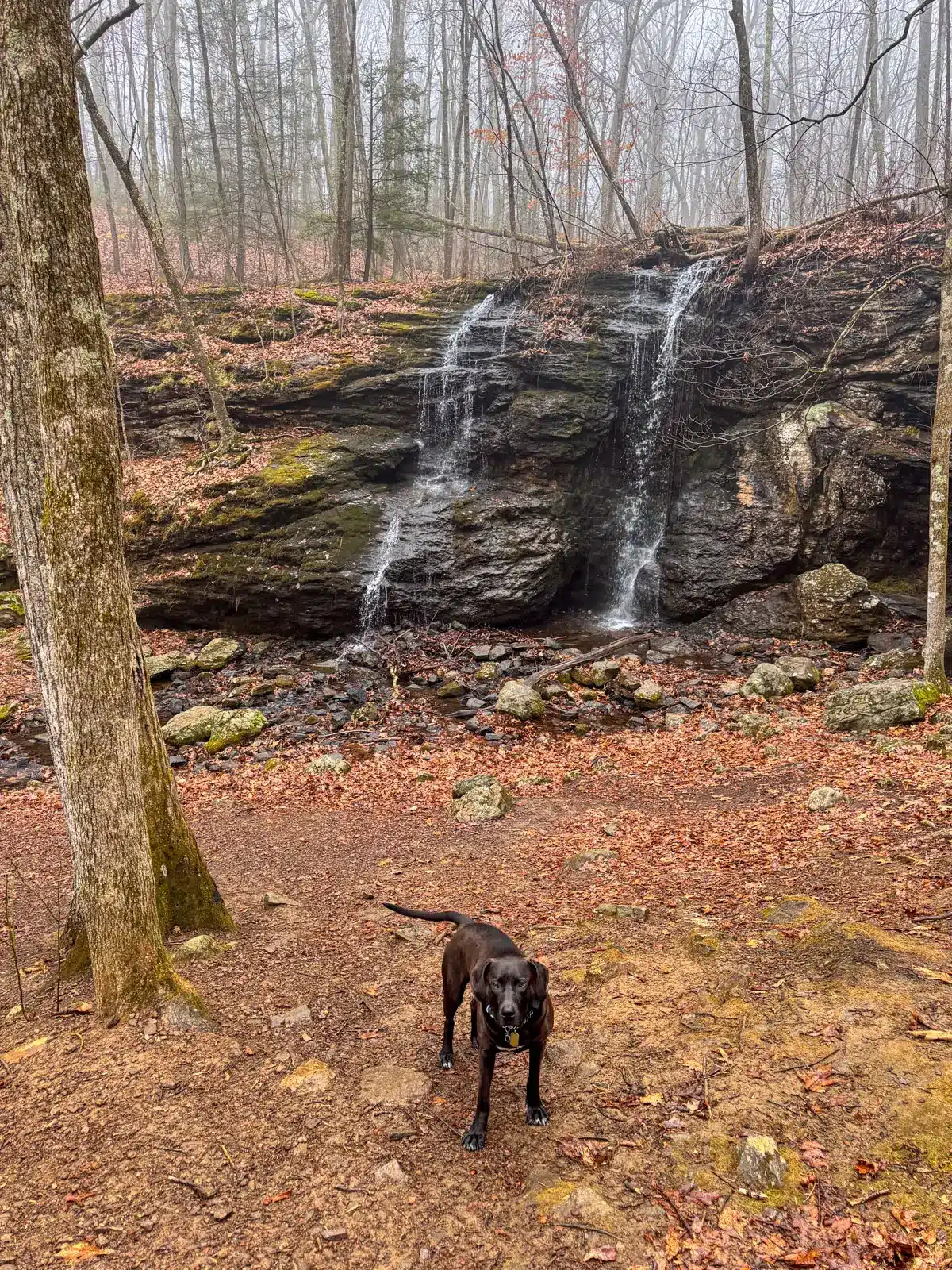
Blackledge Falls in Glastonbury is a great pick if you want a waterfall hike near Hartford. I especially enjoyed visiting in early spring when rain and melting snow had the falls flowing.
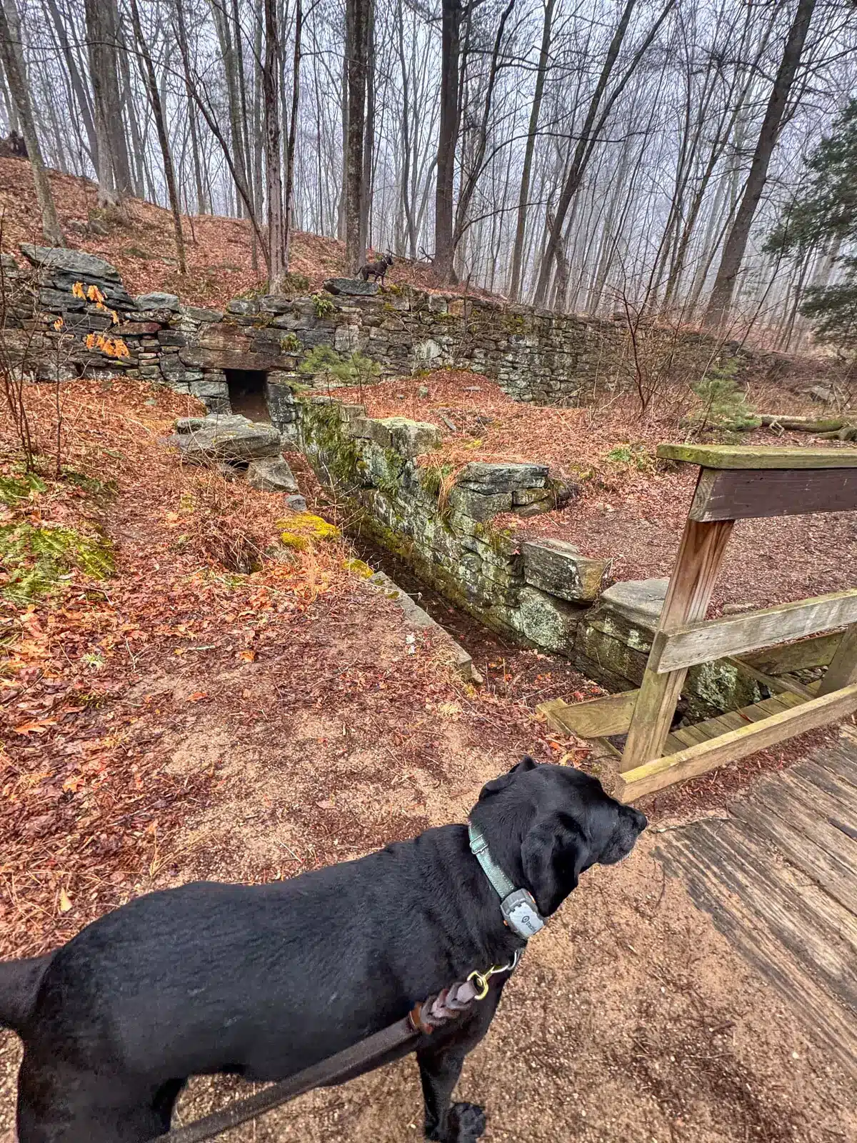
And if you have time to explore beyond the waterfall, there are brooks, wooden bridges, old mill ruins, and a pond to look forward to! 💦🌲
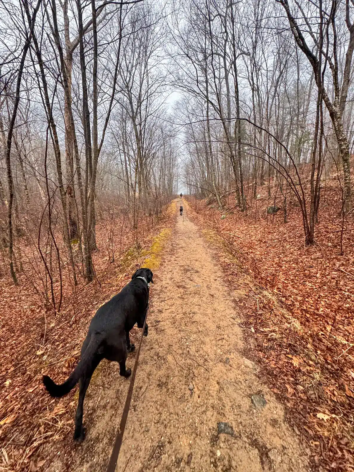
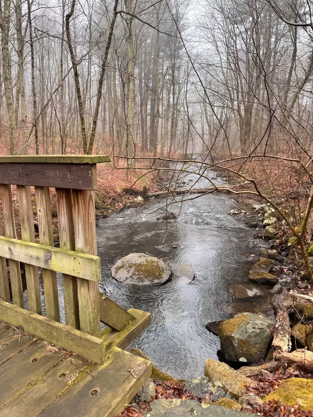
Park in the large Blackledge Falls lot on Hebron Avenue/Route 94. With your back to the road, start from the top left corner of the lot, opposite the trail kiosk. Cross two streams, then bear left onto the light blue trail. Stay left at the fork around 0.23 miles, and you’ll reach the waterfall at just 0.28 miles! A short downhill detour brings you closer to the falls.
From here continue on the blue trail where you can hike to the mill ruins from Gay City and even Gay City Pond 2.8 miles in.
There are several trail changes, so to follow the full loop check out my:
Conclusion
That’s it, friends! I hope you came away with at least one hike to try near you in Hartford County. I’m confident you will!
Save and bookmark this page or email it to yourself so you can revisit when you’re ready to find a new hike.
Hope you have a great time and feel free to email me with any questions or leave comments and questions below!
Take care and happy trails out there 🐾🥾💗