Hiking Mount Wachusett; Best Loop for a Moderate Day Hike
Hike to Massachusetts’ tallest mountain east of the Connecticut River! At 2006 feet, the summit of Mount Wachusett is the highest point in Massachusetts east of the Connecticut River.
 Scenic ski trails on the way to the top
- Balanced Rock
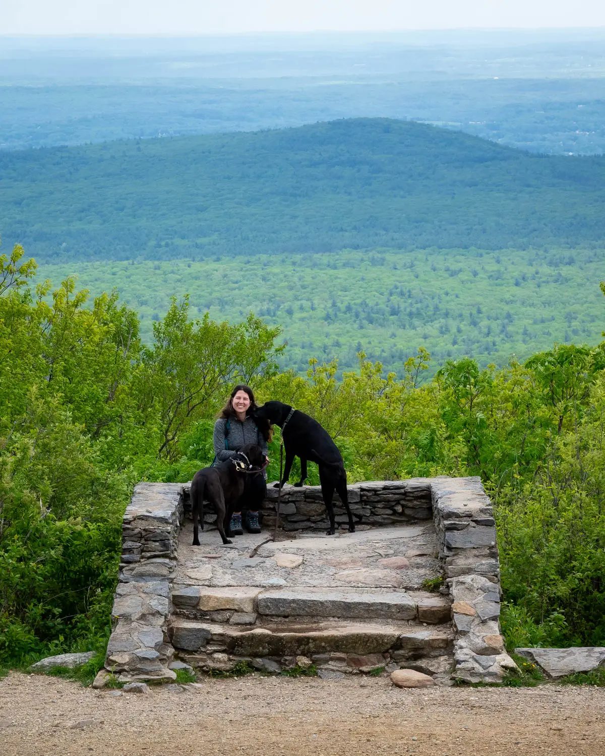
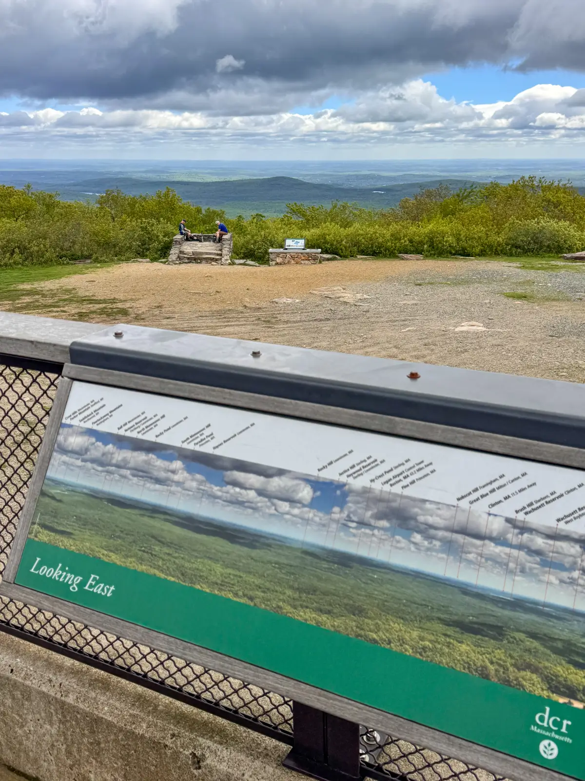
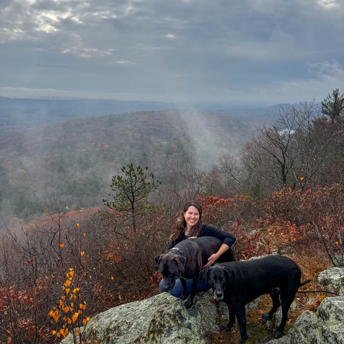
It offers wide-open views of Mount Monadnock and Vermont to the north, Mount Greylock to the west, and Boston to the east. A steady climb up well-marked trails and forested switchbacks leads to summit views, followed by a short scramble section on the way down.
If you’re looking for a hike that feels like a real mountain adventure, conveniently located in central MA, then this loop at Mount Wachusett delivers.
While this is a dog-friendly (and kid-friendly) loop, there are a couple of steep spots on the way down where you’ll want to use your hands to brace yourself. Adventurous kids and dogs apply! ✅
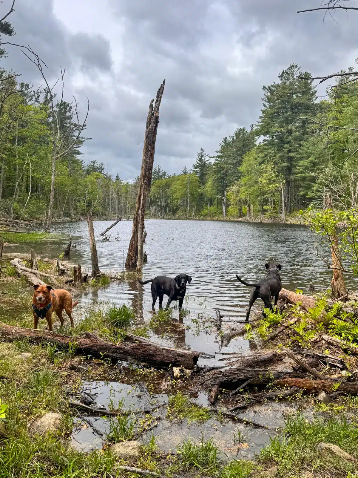
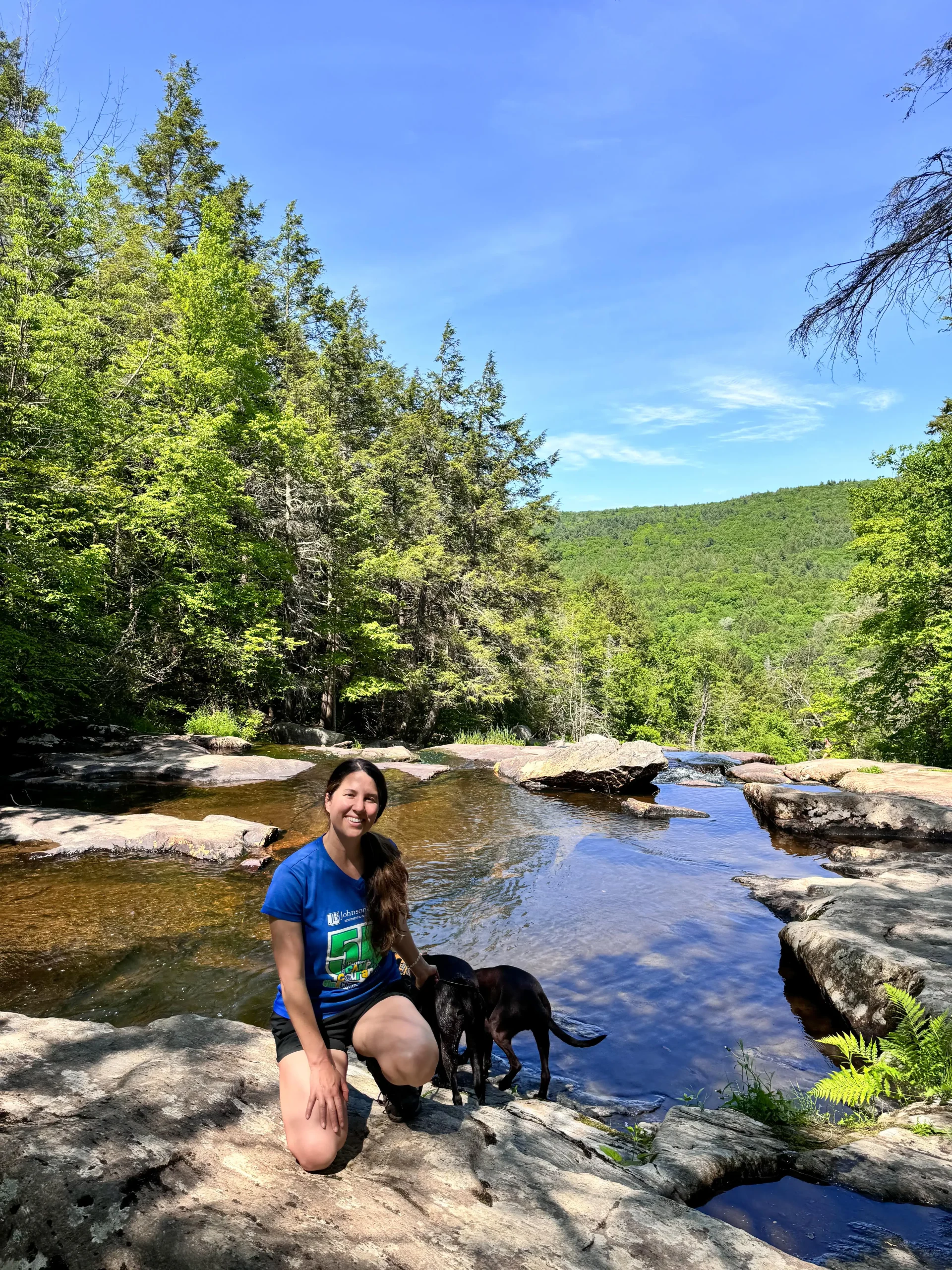
- The dogs taking a dip at Bolton Pond, just 0.25 miles in.
- A few scramble sections on the way down.
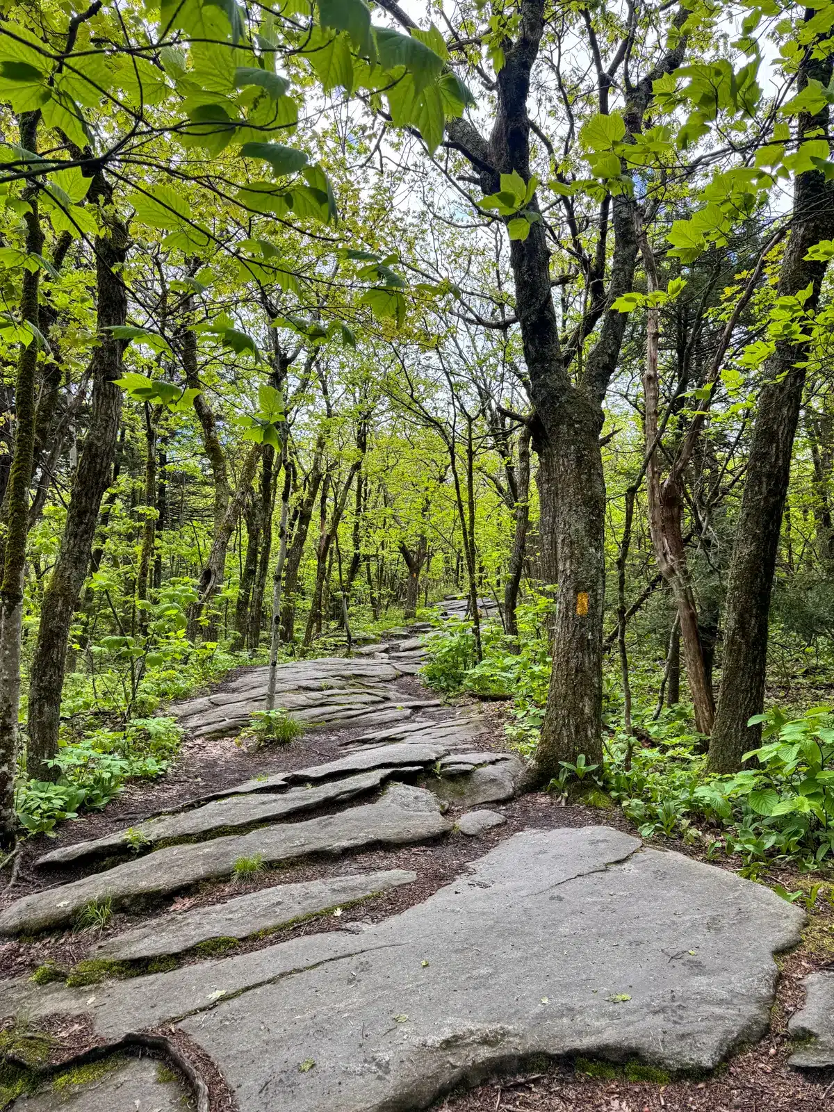
- Well-marked trails on this hike.

Living next door in Connecticut, I drive across the border to MA at least once a month to hike. I often choose a hike in the Berkshires, but I was just as pleased with the scenic location of this hike, the peaceful forest, and views it provides.
In this guide, you’ll find everything you need to have a safe and fun hike up Mount Wachusett. Find directions, trail info, and turn-by-turn trail directions that I recorded when I hiked here.
So let’s get to it!
Mount Wachusett Loop Overview
🗺️LOCATION: WESTMINSTER, MA
🥾LENGTH: 4.07 miles (loop)
⏱️TIME & MONEY: 2 hours 30 minutes; free
📈ELEVATION GAIN: 1089 feet
💪🏼DIFFICULTY: Moderate to strenuous
🌲CONDITIONS: Year-round; pine paths, a few rocky scrambles
🌟HIGHLIGHTS: Mountain summit, fun & challenging hike. Well-marked loop, forested trails with a true mountain feel.
🚘Find the trailhead: From the Princeton Public Library, turn left onto Town Hall Drive, and after 200 feet, turn left onto Mountain Road. After 3.9 miles, Mountain Road becomes Mile Hill Road. After 0.5 miles on Mile Hill Road, turn sharp left onto Bolton Road. Parking is all along the right side of Bolton Road after a third of a mile.
Or, use these GPS coordinates to get you there: 42.50785, -71.89229
⛰️Land manager: Massachusetts Department of Conservation and Recreation, State Transportation Building, 10 Park Plaza, Suite 6620, Boston, MA 02116; (617) 626-1250; mass.parks@mass.gov
mass.gov
Mount Wachusett Hike Details
The 3000-acre Wachusett Mountain State Reservation is 20 miles north of Worcester and under 60 miles west of Boston.
Even though the hike has over 1000 feet of elevation gain, it’s mostly a steady climb with no big jumps for the dogs. But it’s worth noting that on the way down, there are a few scramble sections where we let go of the leashes to safely navigate with our hands and take our time.
Finding the trail…
- Parking along Bolton Road.
- Find trailhead on south side of Bolton Road.


The hike begins from the parking area along the side of Bolton Road. Find the trailhead and Bolton Pond Trail sign on the south side of Bolton Road.
Trail Details…
After just a quarter of a mile from the start, arrive at Bolton Pond, which provides water and splash time for the dogs before the incline begins. 💦
- Bolton Pond 0.25 miles in
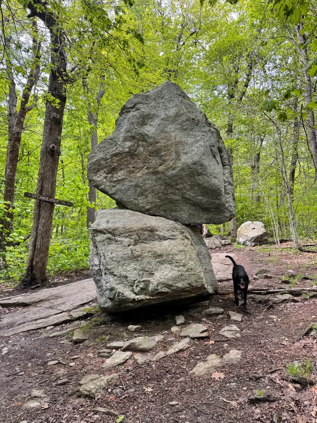
- Balanced Rock

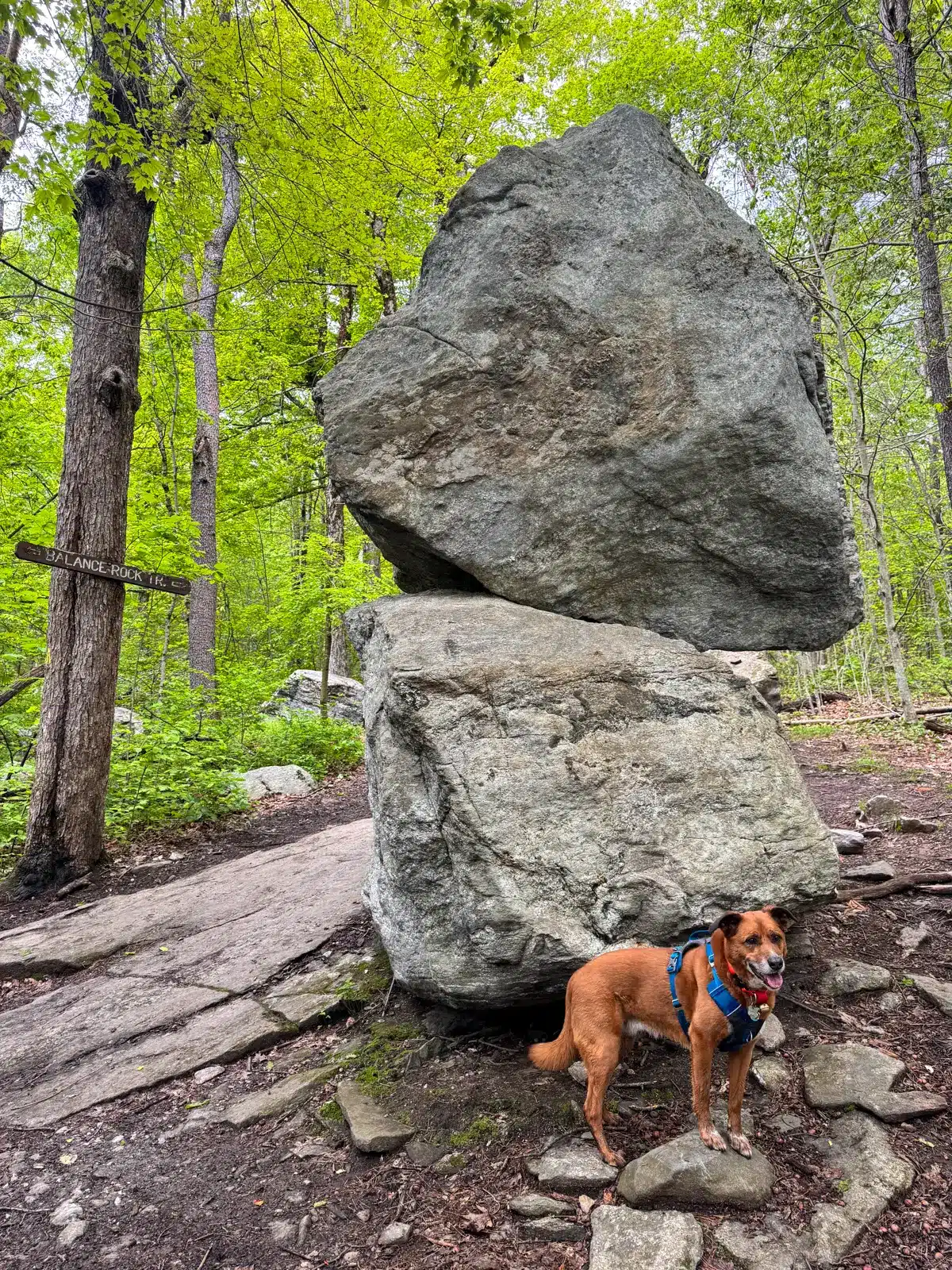
Stay on Bolton Pond Trail until Balance Rock at 0.5 miles, a cool photo opportunity with the dogs. See if your dog will sit next to the pair of silently stacked boulders left behind by a glacier that moved across the region thousands of years ago. It’s a reminder of the glacial activity here that shaped Wachusett and other mountains in New England.
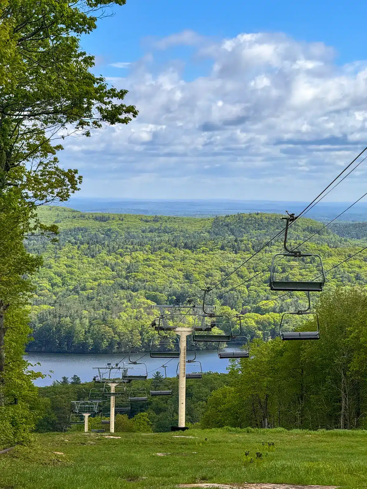
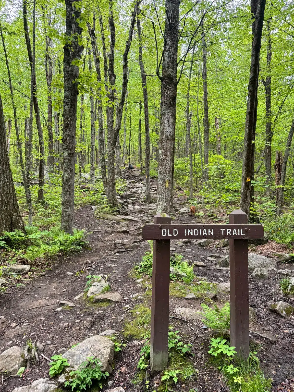
After Balance Rock, bear right to pick up the yellow-blazed Old Indian Trail for the next 1.25 miles to the top. The trail crosses two ski runs, providing scenic views to the east on the way up.
- Well-marked trails on this
- If hiking in the winer, you’ll see the skiers coming down!
- ⛷️⛷️⛷️
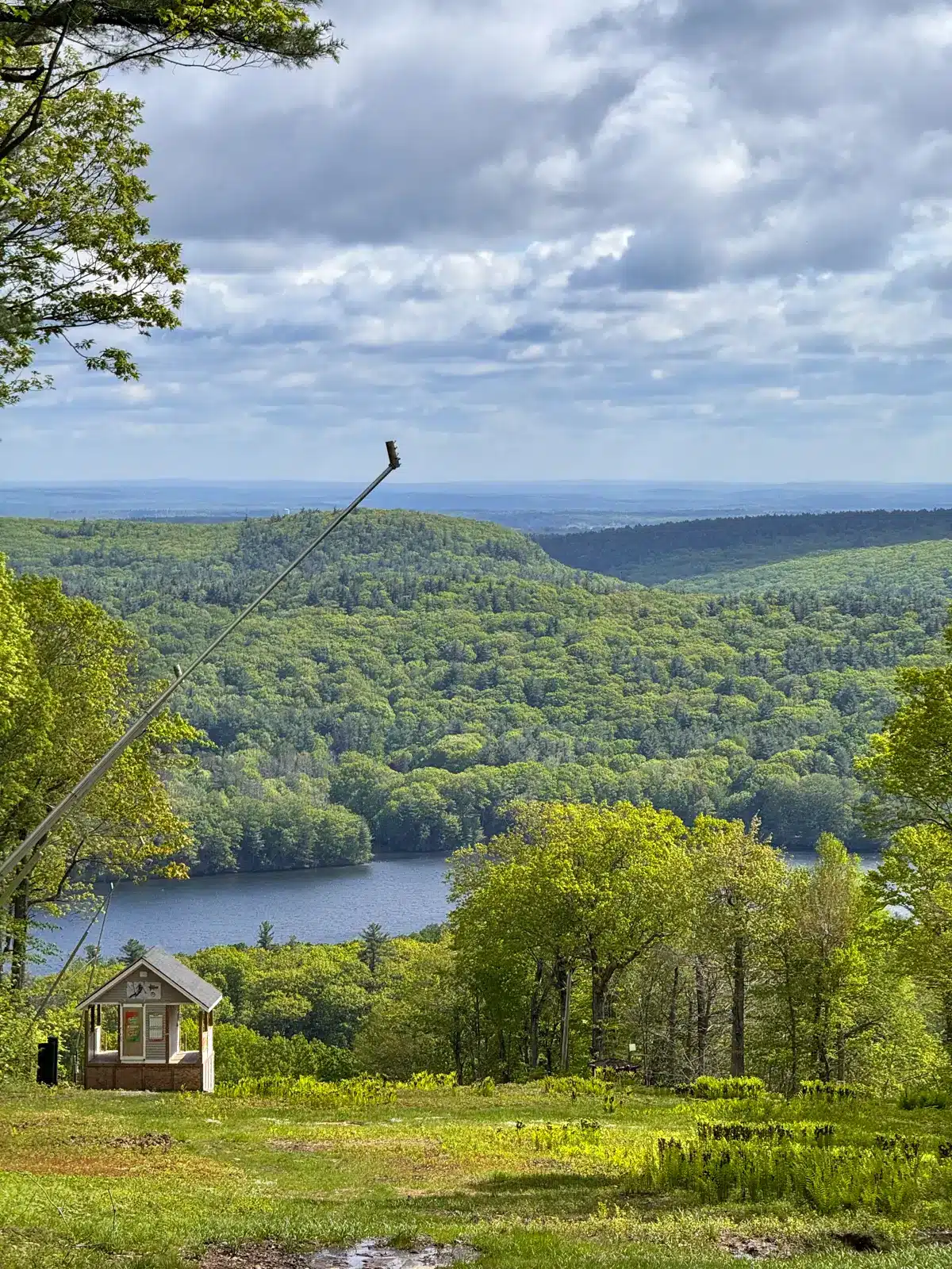
While there may be solitary time with your dog in the woods early on in this hike, be prepared to share the views later; especially during the peak season from end of May to October, when road access brings visitors to just below the summit.
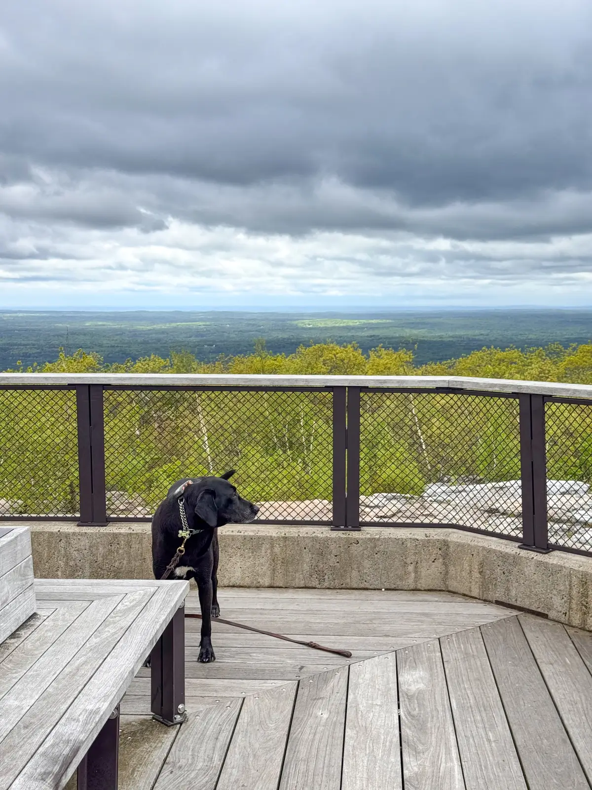
After taking in the views, head back down via the red-blazed Harrington/Mid-State Trail—look for the sign on the southwest side of the summit. This initial descent is fairly steep.
- You can’t climb the tower here but it’s still fun!
- View from base of the tower
- The trail to pick up on your way down.


At around 2.16 miles, the red-blazed Harrington Trail meets Semuhenna Trail. From here, turn right onto the light-blue-blazed Semuhenna Trail and follow it until reaching the yellow-blazed Old Indian Trail. Then, turn left and continue on Old Indian Trail to complete this true mountain adventure for you and your pup!


🧭 TURN-BY-TURN DIRECTIONS 🧭
- Find the trailhead kiosk on the south side of Bolton Road. Start the hike here on the blue-blazed Bolton Pond Trail.
- At 0.14 miles, continue straight.
- At 0.3 miles, arrive at Bolton Pond, where the dogs can swim.
- At 0.55 miles, turn right on the yellow-blazed Old Indian Trail and arrive at Balance Rock.
- At 0.8 miles, bear left on yellow, beginning the loop clockwise following Old Indian Trail.
- At 0.9 miles, walk directly across the first of three consecutive ski fields, continuing to follow the yellow blazes.
- At 1.07 miles, enter back into the woods. Walk across a wooden bridge, following the yellow trail.
- At 1.18 miles, go left onto Up Summit Road. Continue to the Old Indian Trail sign, then turn right onto yellow to re-enter the woods.
- At 1.74 miles, bear left to stay on the yellow-blazed trail.
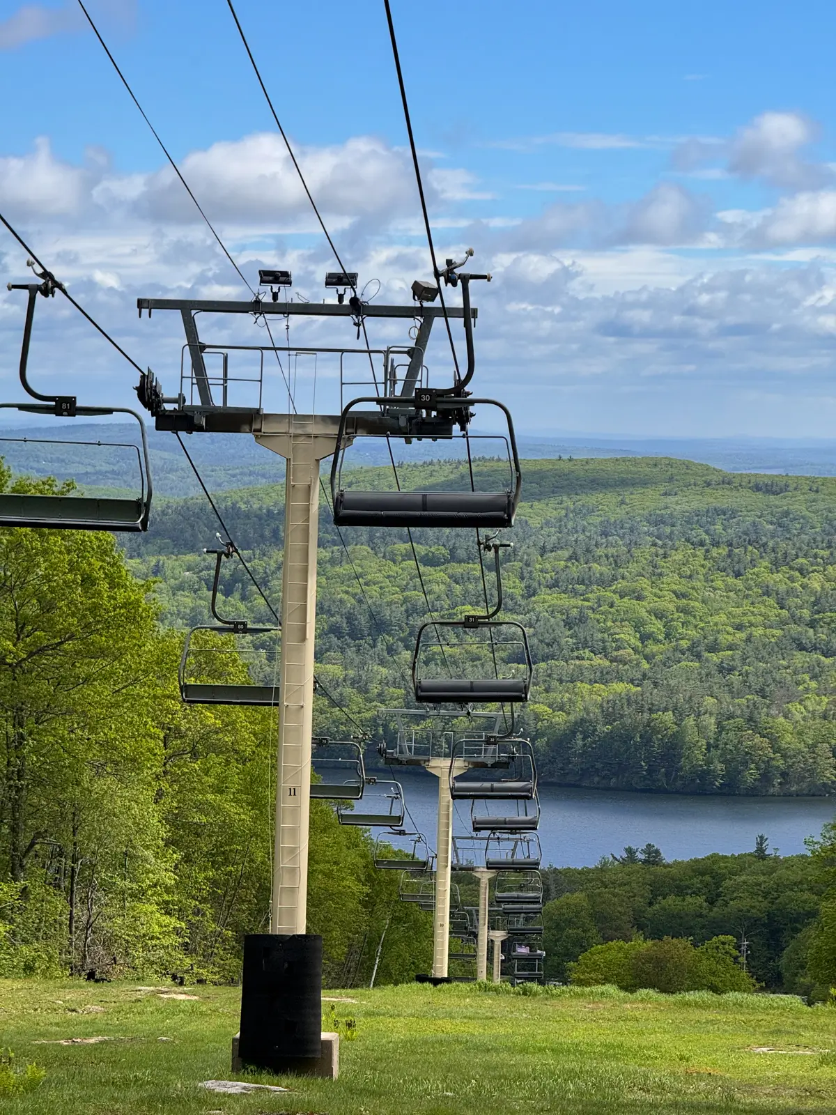
- At 1.8 miles, bear left to stay on yellow, passing a ski lift on the left.
- At 1.85 miles, arrive at the summit of Mount Wachusett. After taking in the view, find the red-blazed Harrington Trail on the southwest side of the summit to begin the descent.
- At 1.95 miles, cross Up Summit Road and follow the red-blazed Harrington Trail.
- At 2.05 miles, cross Up Summit Road to continue on Harrington Trail.
- At 2.17 miles, at the bottom of the steep section, turn right to stay on the red-blazed Harrington Trail. Look for the yellow Midstate Trail triangle on a tree.
- At 2.21 miles, turn right onto the light-blue-blazed Semuhenna Trail, following the sign.
- At 2.75 miles, cross Up Summit Road and continue on the blue-blazed Semuhenna Trail.
- At 2.98 miles, cross Up Summit Road again and follow the blue-blazed Semuhenna Trail back into the woods.
- At 3.29 miles, reach the loop’s end. Turn left at the Old Indian Trail sign to finish the hike.
I hope you enjoyed this guide to hiking Mount Wachusett. Feel free to leave a comment or question below! I’d love to hear from you or hear about your experience doing this hike.
Happy Trails! 🥾🐶🩷


This sounds like another good hike to put on the list! I would not have known without this article. Thanks for pointing out issues so pups stay safe. And thanks too for the poison ivy info!
So glad you liked the post, Nanci! :)) Hope you get to do this hike soon, it is a good one!!
Hi! Did you notice any poison ivy on the trails? I want to bring my dog, but if he gets into it, I get it! 🙂
Hi! I did not notice any! I think you’ll be ok 🙂 Have fun hiking Mount Wachusett!!