Hike Rattlesnake Mountain in CT; 2 Routes, Lots of Views!
Rattlesnake Mountain along the Metacomet Trail in Farmington, CT offers cliff-top views facing southeast on its 750-foot high peak. Included in this post are two ways to get to Rattlesnake Mountain (including Pinnacle Rock); a 5.5-mile hike or a 2.5-mile hike along with parking info, a map, and some interesting history!
Living in CT and under 20 minutes from these trails, Rattlesnake is one I visit time and time again when I want a local hike with great views.
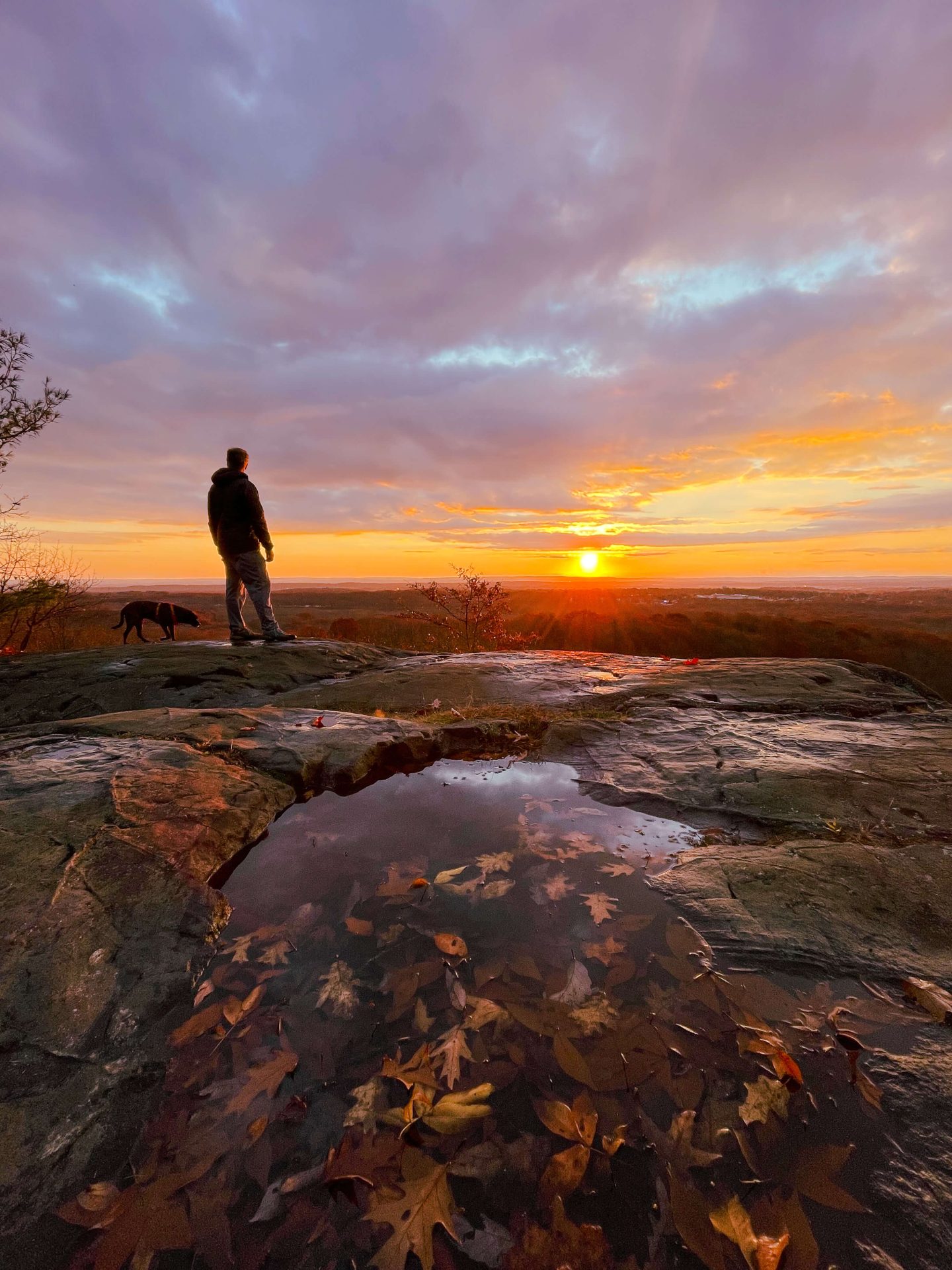
 Love the puddle at the top!
- Rattlesnake view at sunrise
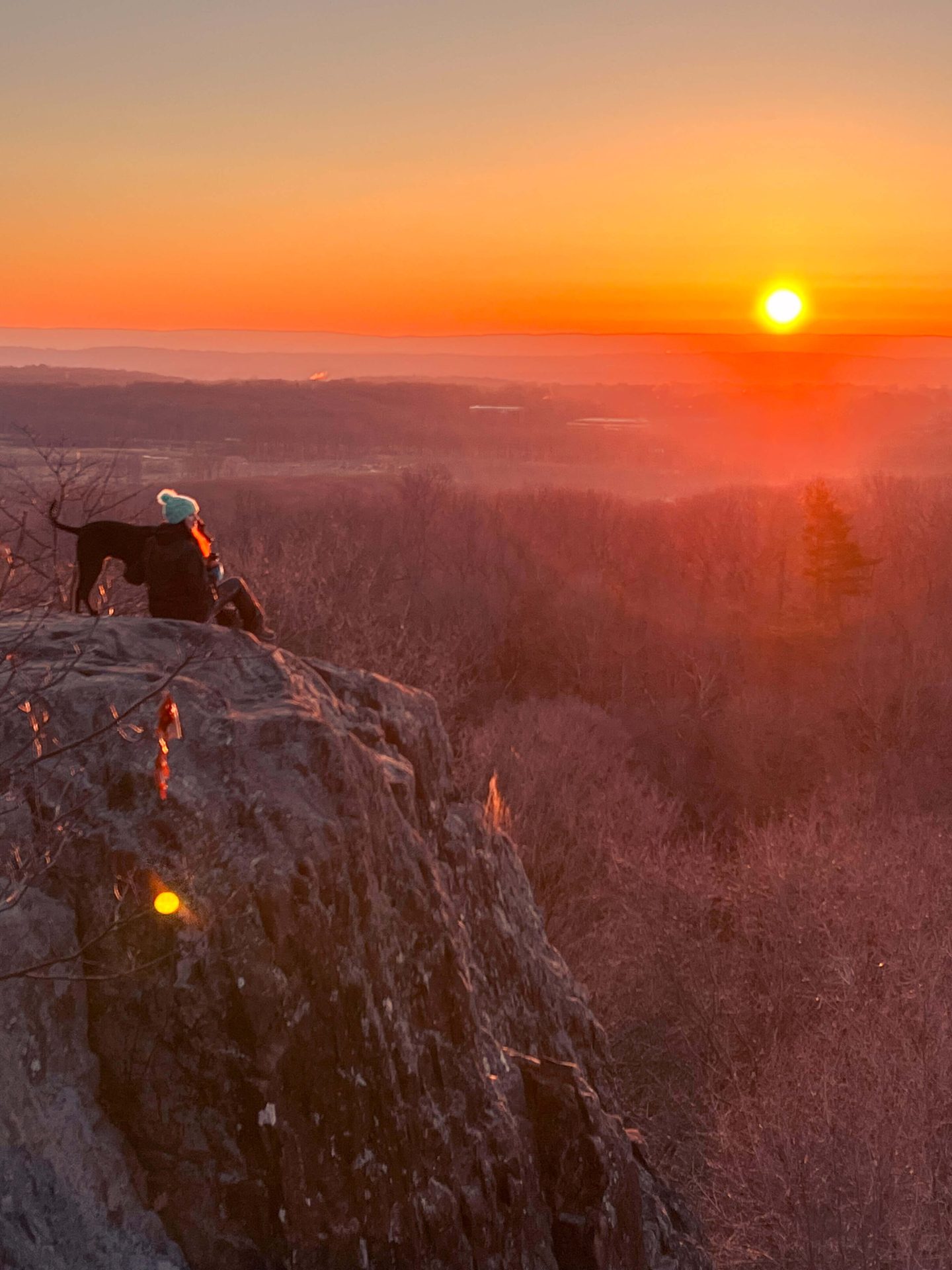
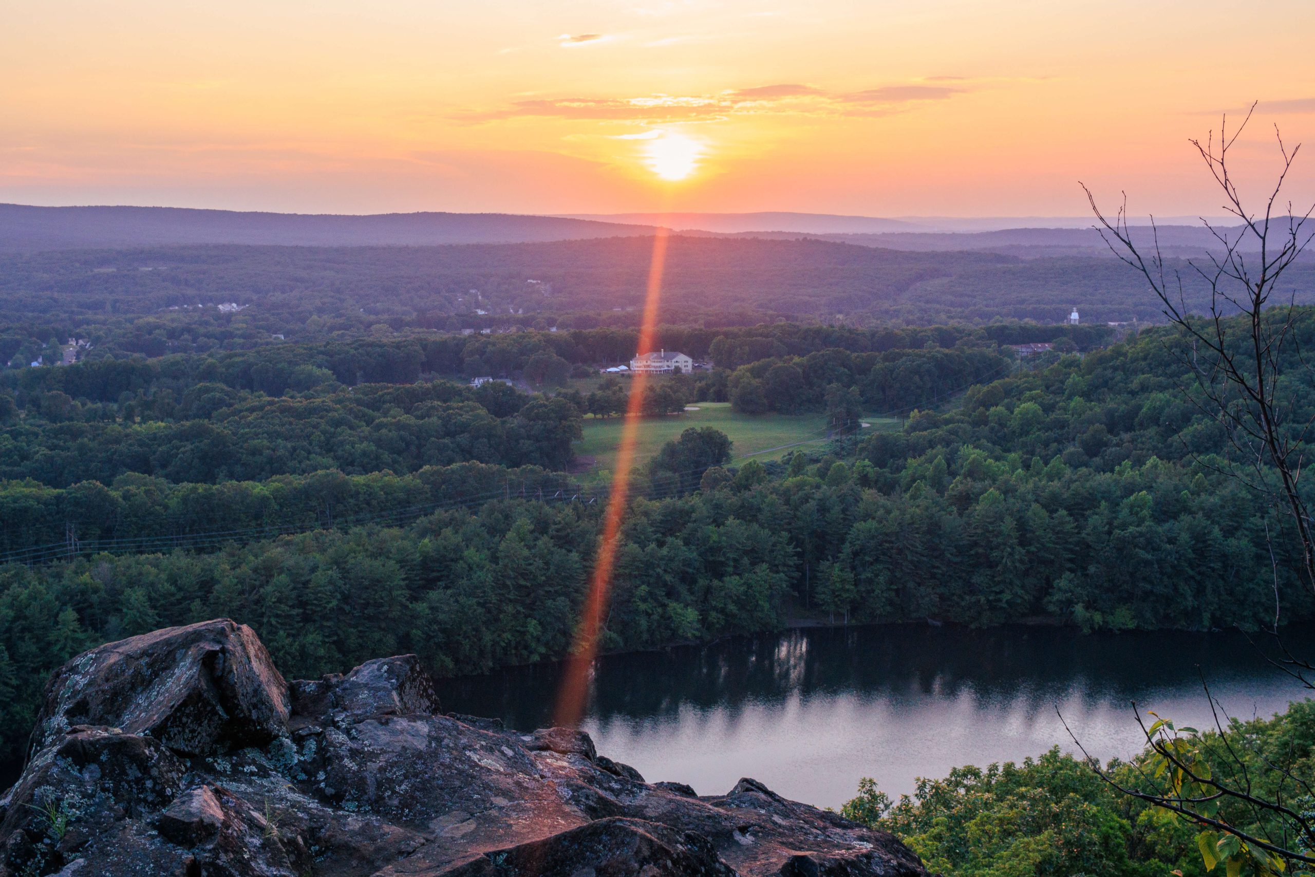
It’s also the perfect choice for a sunrise hike in CT (the shorter route) as the view is just over a mile to get to and the whole traprock ridge of Rattlesnake Mountain faces east. 🌅
Rattlesnake Mountain History 📖
While I’ve yet to find it, according to the Farmington Historical Society;
“Hidden deep in the second-growth hardwood forest of Rattlesnake Mountain is an inconspicuous flat ledge of traprock. On it are carved 66 names of long-ago Farmington residents. This is Farmington‘s “Hospital Rock.”
and it marks the site of Eli Todd and Theodore Wadsworth’s smallpox inoculation hospital of the 1790s. It is a reminder of the terrible epidemics of another day, and of the efforts of local physicians to halt their spread.“
Rattlesnake Mountain Map 🗺
Hiking to Rattlesnake Mountain in CT; 2 different routes
1. Shorter option: Rattlesnake Mountain via Metacomet Trail
- Miles: 2.5 miles out & back
- Elevation Gain: 396 feet elevation gain
- Level: Moderate
- Parking: Click for directions to Rattlesnake mountain parking lot along Colt Hwy/Rt 6 in Farmington
- Special features: Will Warren’s Den and the view at Rattlesnake Mountain (faces east)
With the trail starting on the busy Colt Highway in Farmington, this is the route I take for sunrise hikes or if I don’t have a lot of time.
🚗 Parking info:
Along Colt Highway at the entrance to the trail, there are around 10 parking spaces immediately off the road. Since Colt Highway is a very busy 4-lane street it makes pulling out of the spaces a little tricky.
If you’re meeting a few people on a sunny Saturday afternoon expect most of the spaces to be taken up. The best option would be to meet and park somewhere nearby and drive in one car. Rebel Dog Coffee in Farmington would be a great spot to leave a car and then visit after your hike!
🥾Rattlesnake (shorter route) Trail Details:
After parking, you’ll find the narrow blue-blazed trail to the left of the parking lot. You’ll be glad to head into the woods and escape the noise from all the traffic along the road!
- Head into the woods and start the hike!
- Follow the blue blazes through the birch trees 🤍💙
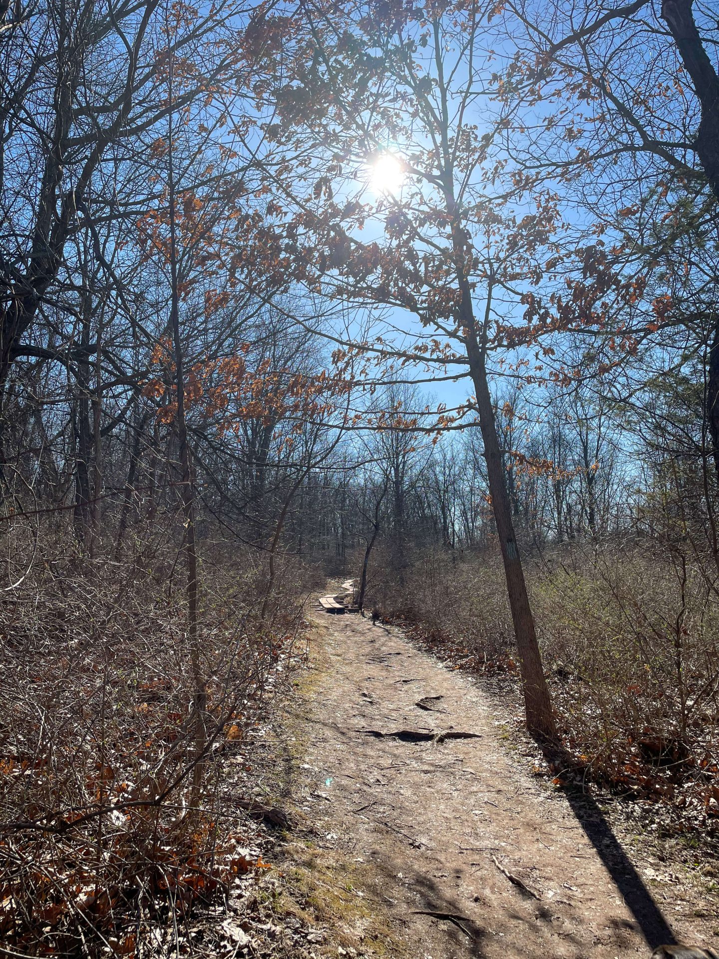
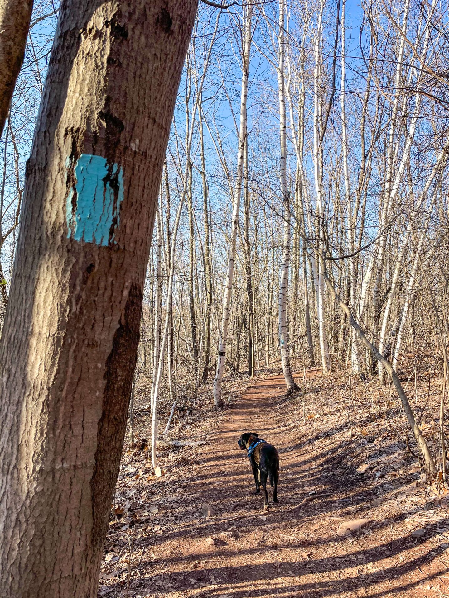
Heading into the woods, the trail becomes wide enough for two people to walk side by side until you come to the wooden plank sections that protect you from the muddy trail below.
The first 1/2 mile is relatively flat and then you encounter a couple of uphill pushes after that.
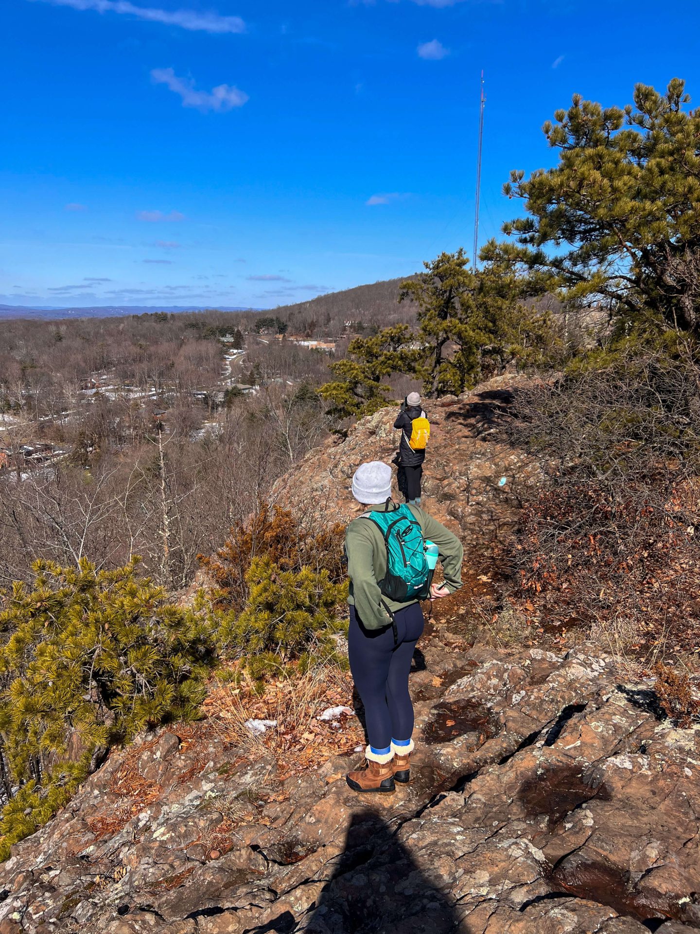
Staying on the blue the whole time, there will be a couple of tricky scramble/rocky sections where you may like to use your hands to help you up or down.
If hiking with a very beginner, there is a route around these sections but it’s always best to stay on the main trail!
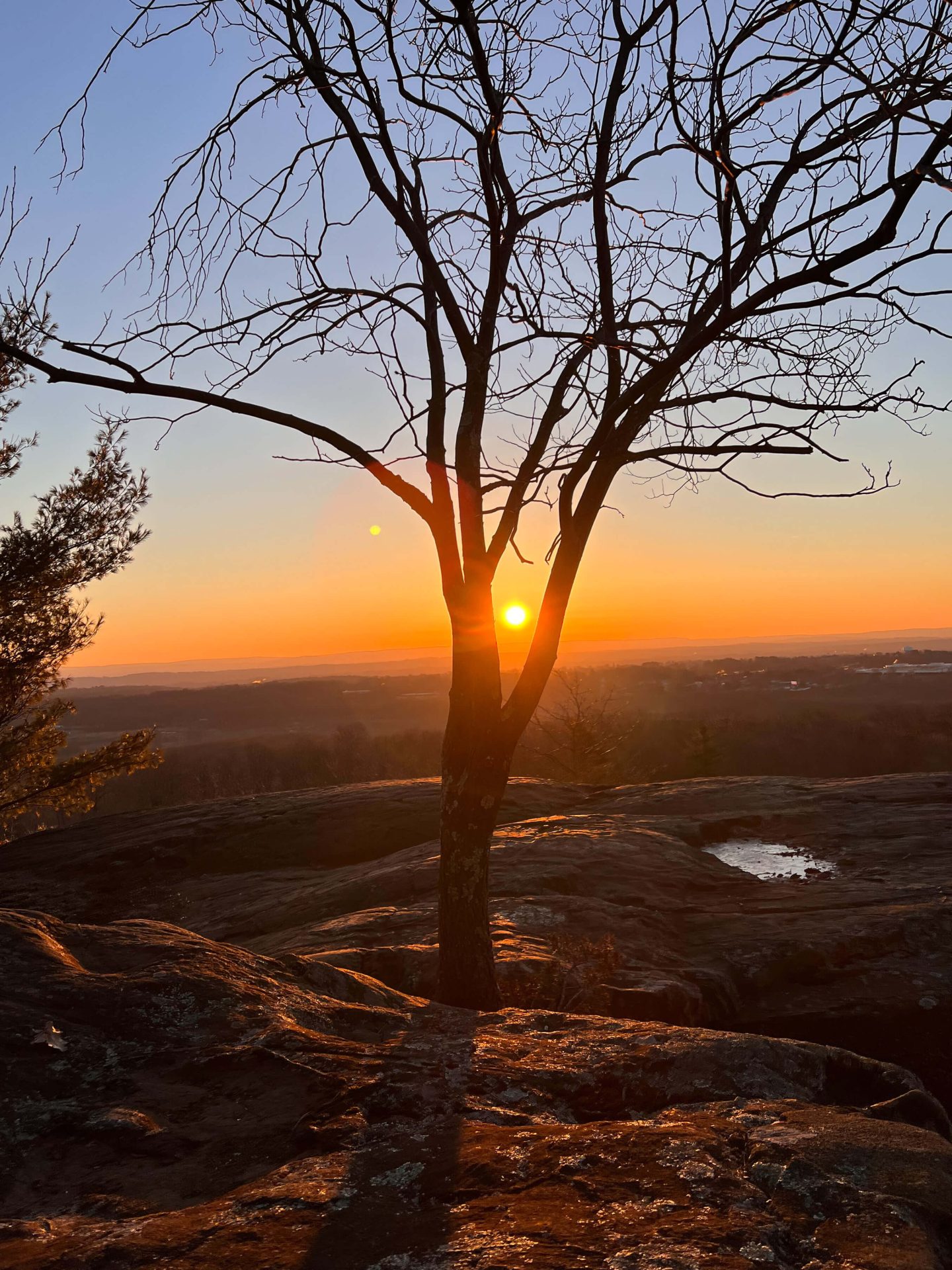
At 1 mile in you’ve completed the elevation and you’ll walk along the rocky sections passing Will Warren’s Den and shortly after arrive at the view at Rattlesnake. (Be sure to sign the log book! :))
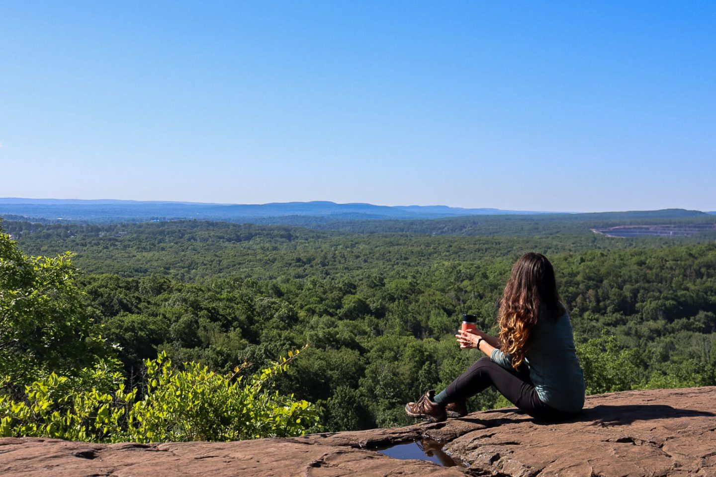
Enjoy the views and head back the way you came! 🥾
2. Longer option: Pinnacle Rock in Plainville to Rattlesnake Mountain
- Miles: 5.5 miles out & back
- Elevation Gain: 906 feet elevation gain
- Level: Moderate-Hard
- Parking: Click for directions to the Pinnacle parking lot along West Main St/Rt 372 in Plainville
- Special features: 4 lookouts total! 😍 3 along Metacomet (including the big view of the Pinnacle) before you reach the final view at Rattlesnake.
A fun and adventurous hike if you have several hours to spare and want to see MULTIPLE views! ⛰ (
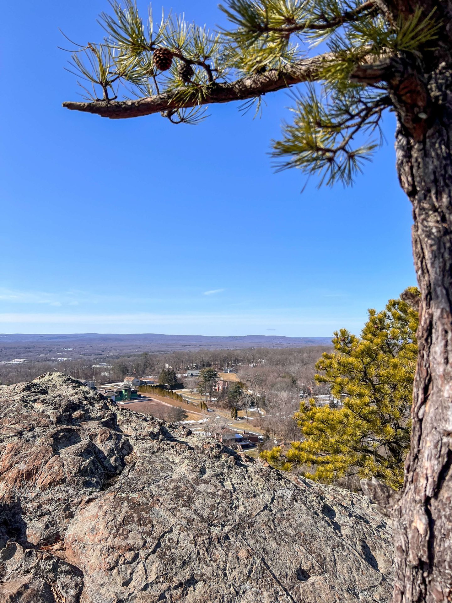
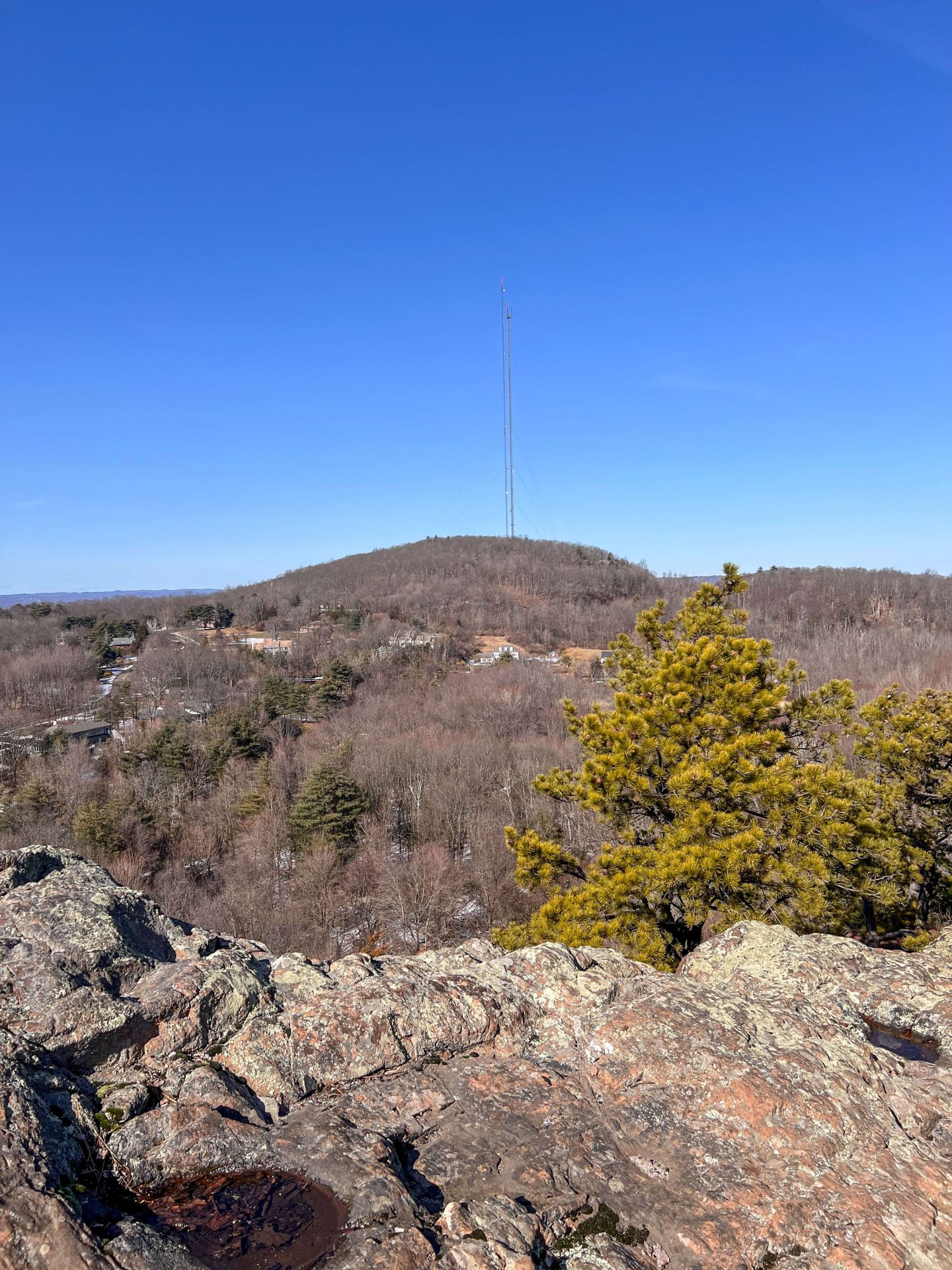
The photos below are of some of the views you’ll encounter before you get to Rattlesnake Mountain…
- Another view along the Metacomet on way to Rattlesnake
- View from Pinnacle Rock in Plainville on the way to Rattlesnake

While there is 906 feet of elevation in this hike, there is no one big steep section.
The elevation is spread out over the hike with little ups and downs throughout and you’ll even encounter elevation on the way back as well! Be prepared with snacks to sustain you. 🙂
There are plenty of places to stop for pictures along this hike as you’ll hit 3 different views on the Plainville side of the Metacomet Trail before you even get to the final view at Rattlesnake Mountain.
This 5.5-mile round-trip hike can take a few hours. Some ups and downs require careful navigation. With the multiple viewpoints, there will be several places to stop for photos or a snack.
🚗 Parking info:
You might be confused by the parking but the entrance to the Metacomet Trail is on one side of West Main Street and the parking is on the other.

With the link above I suggest parking at The Hospital of Central Connecticut. From there you will cross busy Colt Highway to get to the blue trail sign and entrance on the other side.
🥾Rattlesnake Mountain (longer route) Trail Details:
Heading into the blue-blazed Metacomet Trail after crossing the road, you’ll immediately start a short incline section that leads you (happily) away from the busy Colt Highway.
- Look for this sign when you cross the street!
- Heading uphill right when you start the trail


Stay left on blue and get rewarded for your first little climb at only 0.2 miles in.

After a bit more elevation followed by a flat section, you’ll be rewarded with a second view just 1.2 miles in. This view faces west and would be great for sunset! We saw 3 bald eagles fly overhead the last time here. 🙂 🦅🦅🦅
- Follow the blue Metacomet 🥾
- Another view along the Metacomet on way to Rattlesnake

Continuing for another half mile (rolling elevation here) you’ll come to the bigger view at Pinnacle Rock!

Take in the 180-degree views here before continuing on another mile to Rattlesnake Mountain. (You’ll encounter a few intersecting trails here so be sure to stay on the blue).
- Pointing to where you’ll be headed – Rattlesnake in the distance!
- Couple short but steep sections on the way
- Use your hands!


The final push to Rattlesnake Mountain is a rocky and somewhat steep one.
You’ll cross a marshy area with power lines before encountering the towering traprock section of Rattlesnake Mountain.

- Fun part of the trail on last push to Rattlesnake


Staying on the blue, you’ll wind your way up and around the huge rock in front of you (this is a popular rock climbing spot!) and be very relieved to find yourself at the top where you can finally sit and enjoy the view!
This is where I would have my snack. 😍🥪 And actually, because of the length and elevation of this hike, I wished I had packed an actual lunch instead of just grabbing a couple bars! You’ll definitely work up an appetite.


After this, you’ll turn back the way you came encountering a few uphill sections that you enjoyed going down on you’re way in. 🙂
Where to go for food after 🥐☕️
Both Hartford Baking Company and Rebel Dog Coffee Co. are great choices and, luckily, just minutes away!
Head to HBC for traditional croissants and baked goods or Rebel Dog for your basic egg and cheese sandwiches!

I hope you enjoyed this hiking guide to Rattlesnake Mountain in Farmington!
It is one of the best views in Farmington Valley and each route offers a great adventure you’ll want to do again!
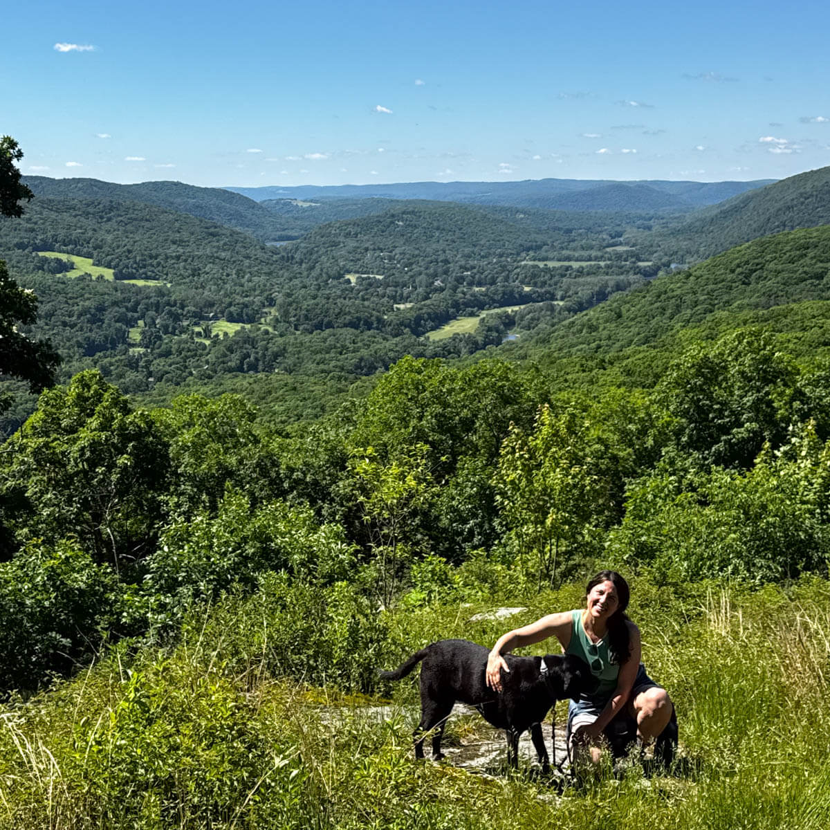
Would like to dedicate this post to Bauer, who hiked with us here many times. 🧡💛 Always in my heart. 🐶

Looking for more sunrise hikes in CT? Check out this post here of 11 different sunrise hikes in Connecticut!


The sunrise pictures are making me want to go ASAP! It seems like a beautiful trail and you know that I’m definitely getting a BEC sandwich at Rebel Dog if I make it!
Thanks so much, Lita!! Yes, this is a perfect spot for a sunrise hike!! And the bakery options after 😍👏☕️🥐