8 Secret & Scenic Hikes in Connecticut; Lesser Known Trails!
Looking for scenic hikes in Connecticut with beautiful views that you haven’t seen before or that not many people know about?! 😍
Living in Connecticut almost all my life, I’ve done all the big popular hikes. But you won’t find the common hikes like Sleeping Giant State Park or Ragged Mountain on this list.
This is a curated list of my favorite hikes and views in CT that not many people even know about. Less popularity brings quieter trails and a more private and classic hiking experience.
These 8 Connecticut hikes (I plan to keep adding to this list!) not only have amazing views at the top but also the most scenic journey along the way. 🥾
Several hikes on this list are ‘homemade hikes’. Hikes, just like cakes, cards, and cookies are better and more special when they’re homemade! 🍪
Each one was made because either the view was not listed on AllTrails (secret views) or the route wasn’t the most scenic.
➡️For each hike I provide details in terms of miles and difficulty, links to parking and trailhead information.
Have fun and let’s get to it!
🥾8 Secret and Scenic Hikes in Connecticut
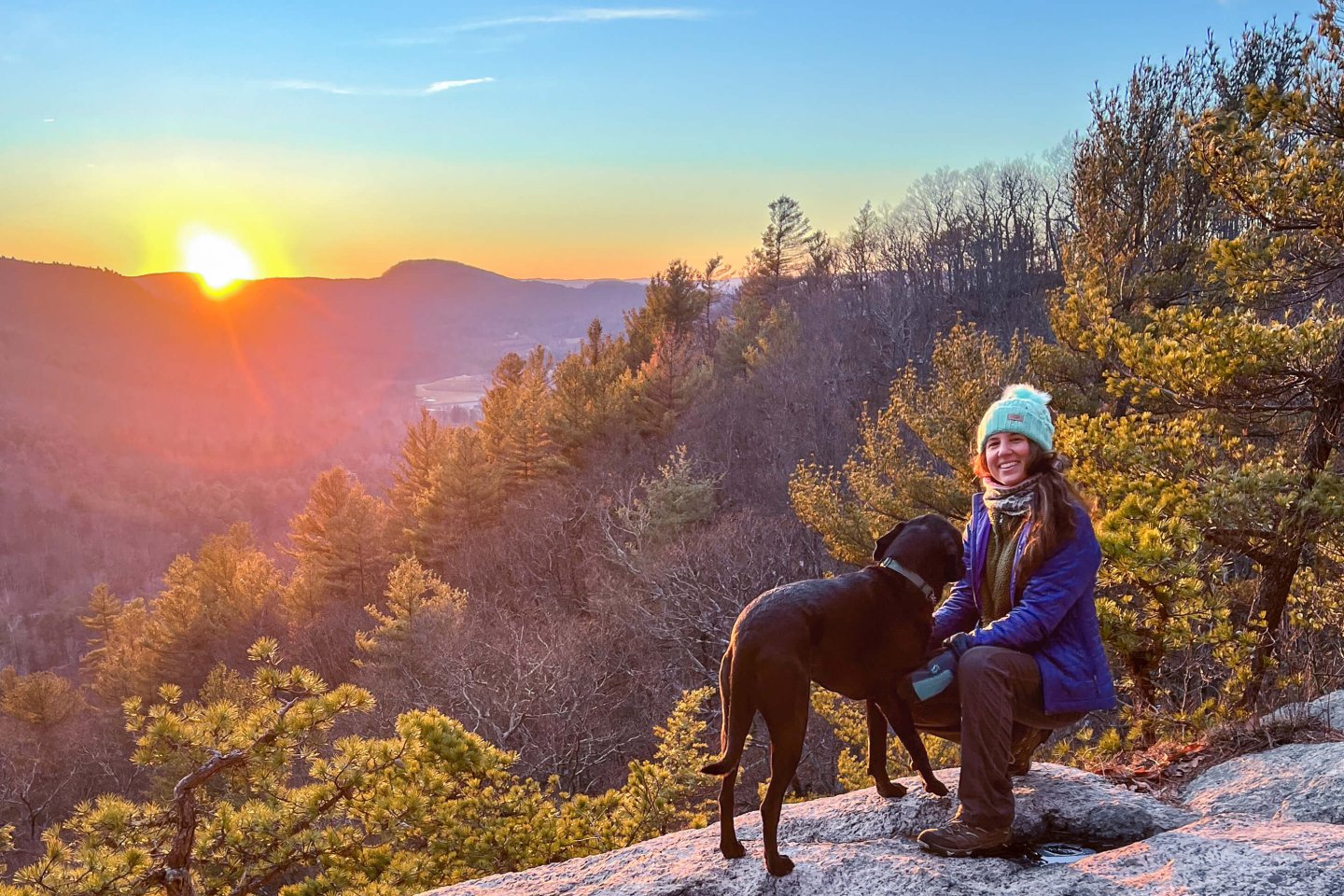
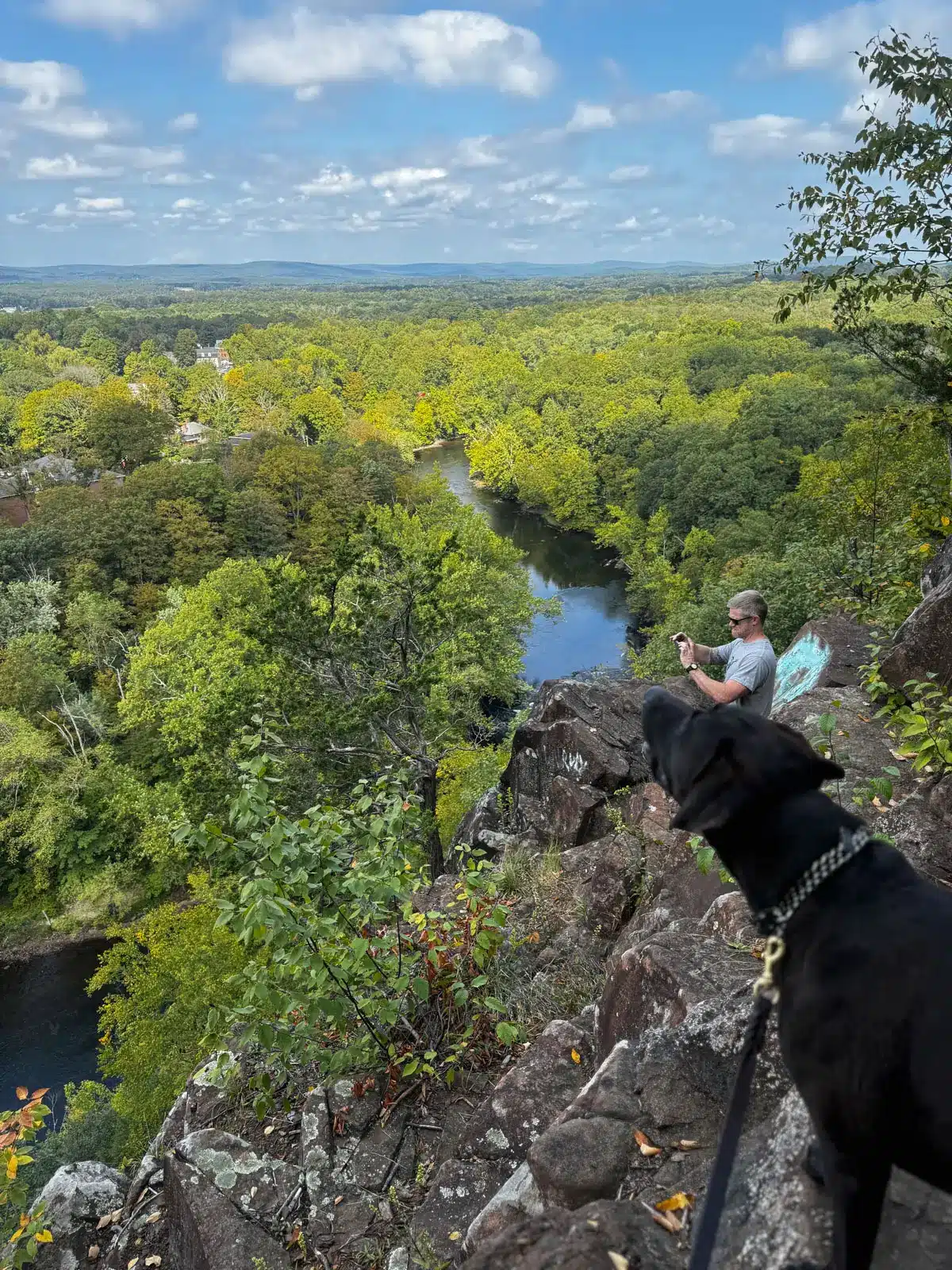
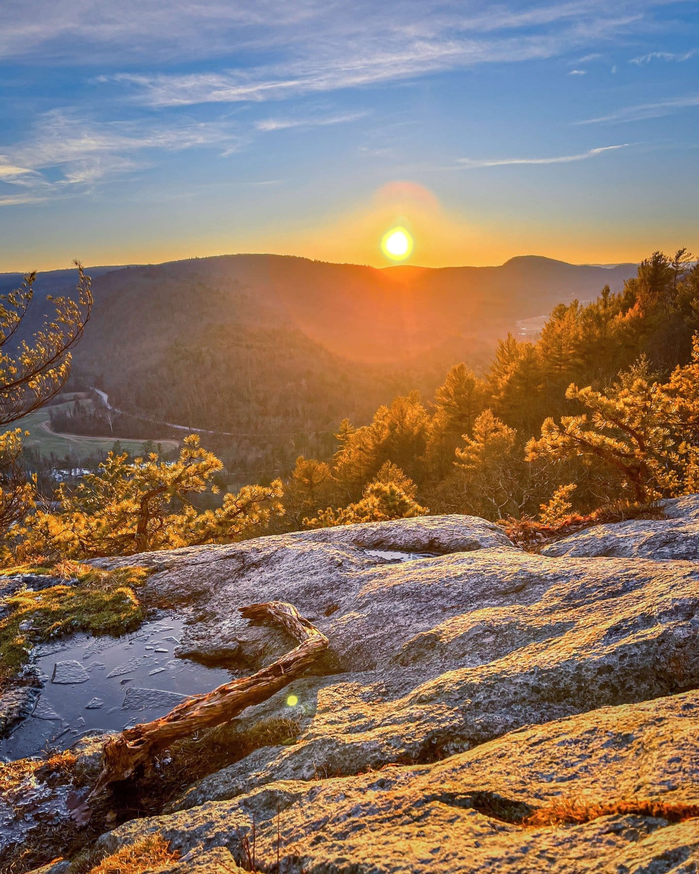
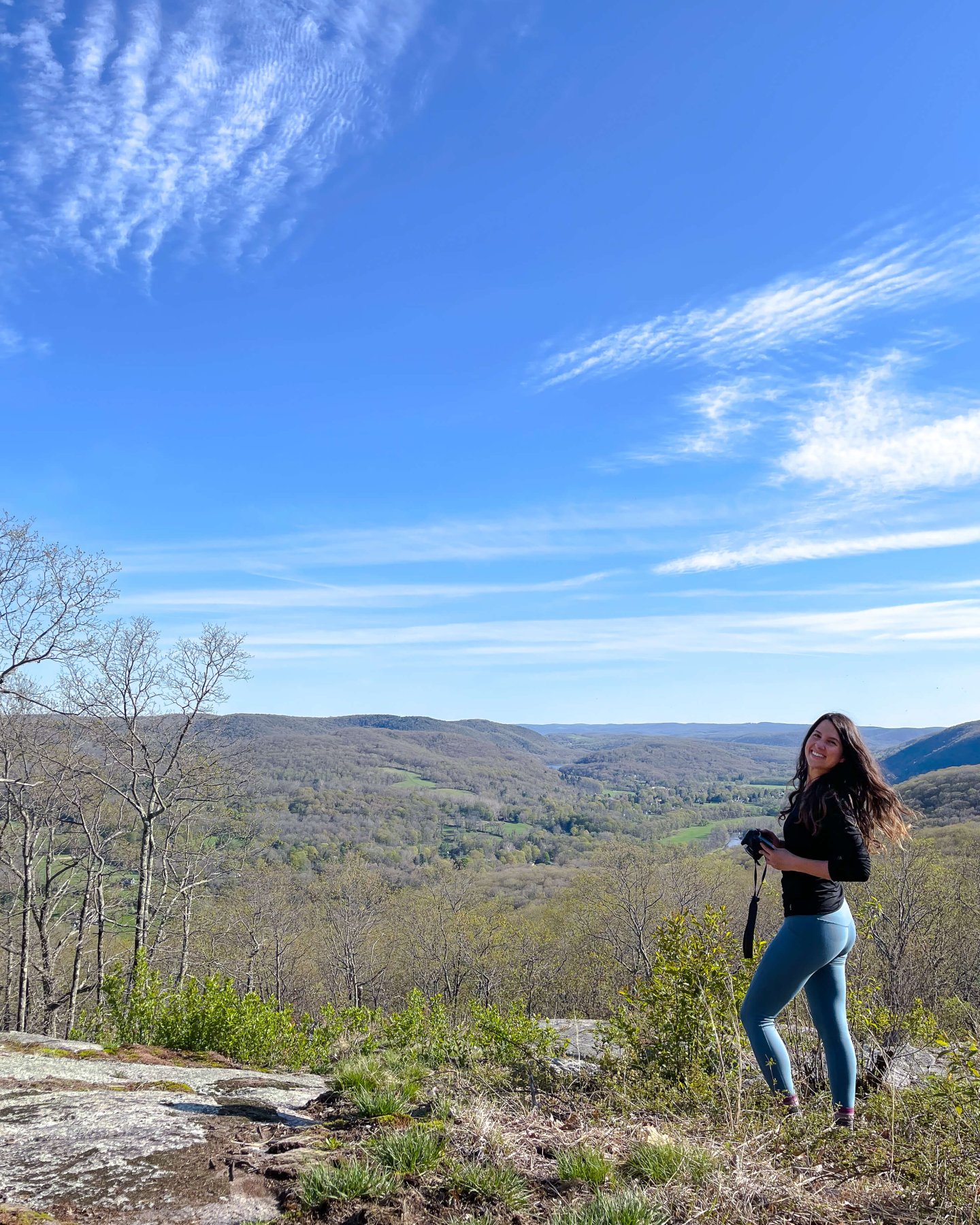
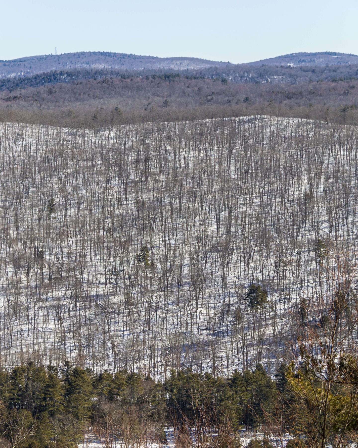
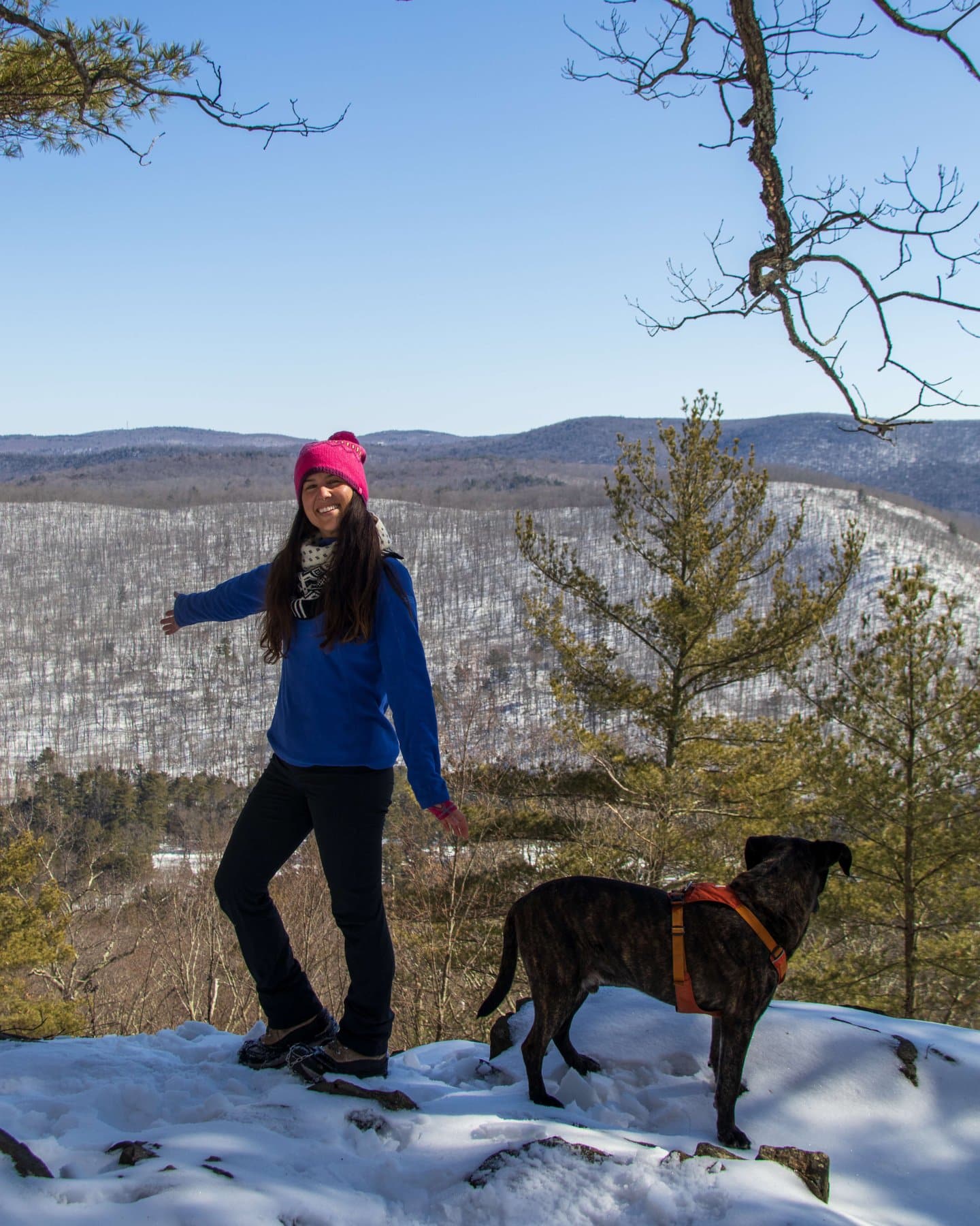
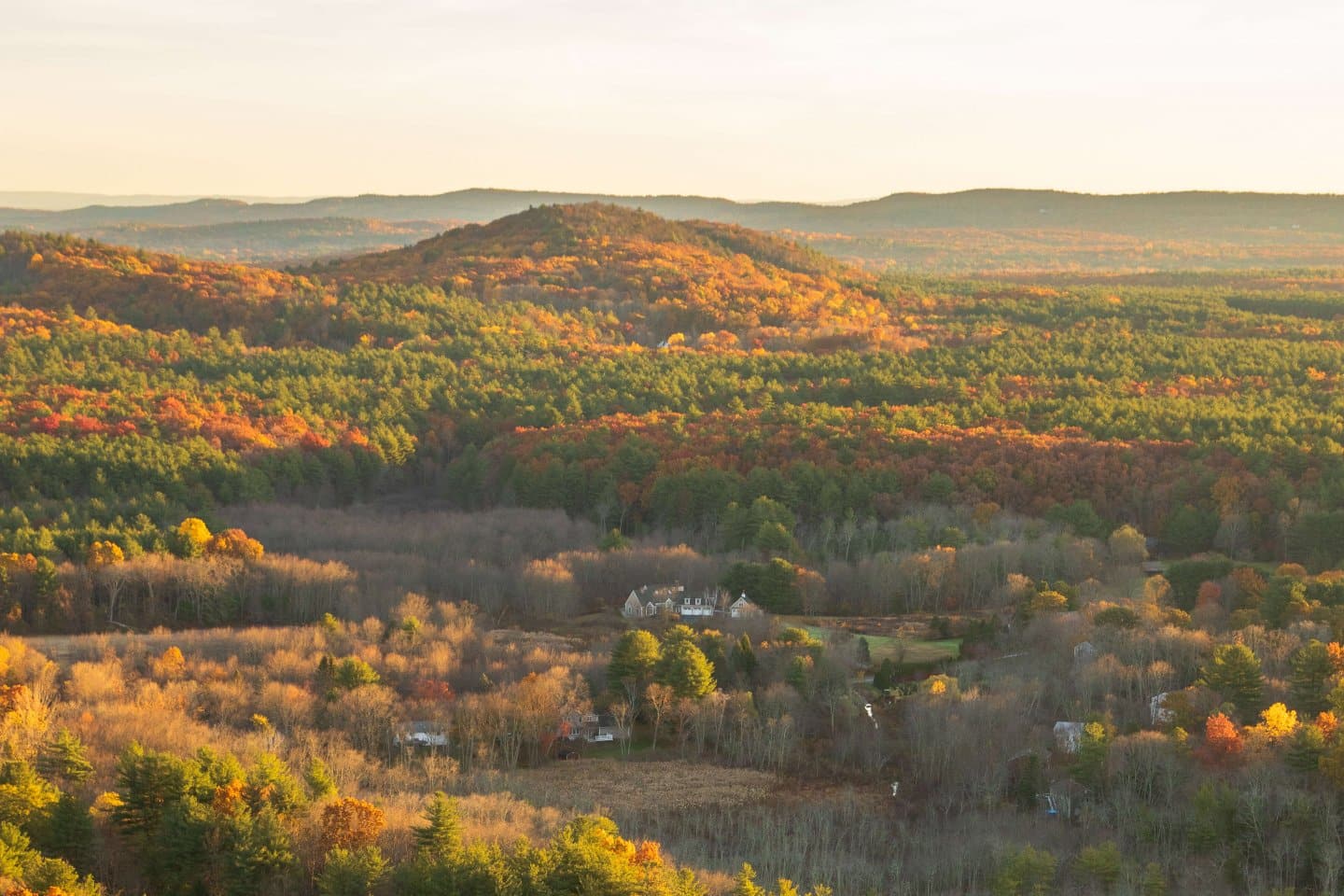
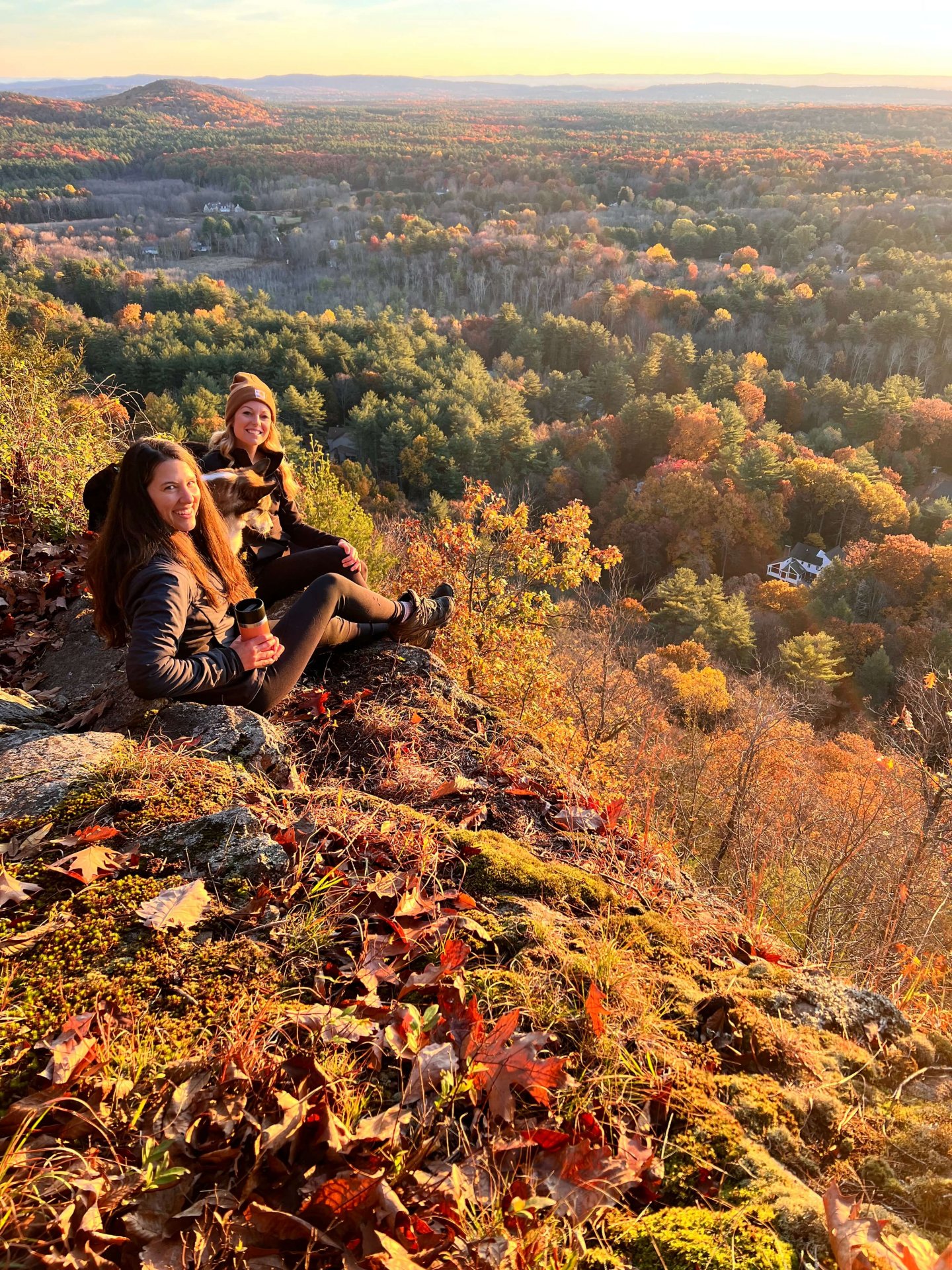
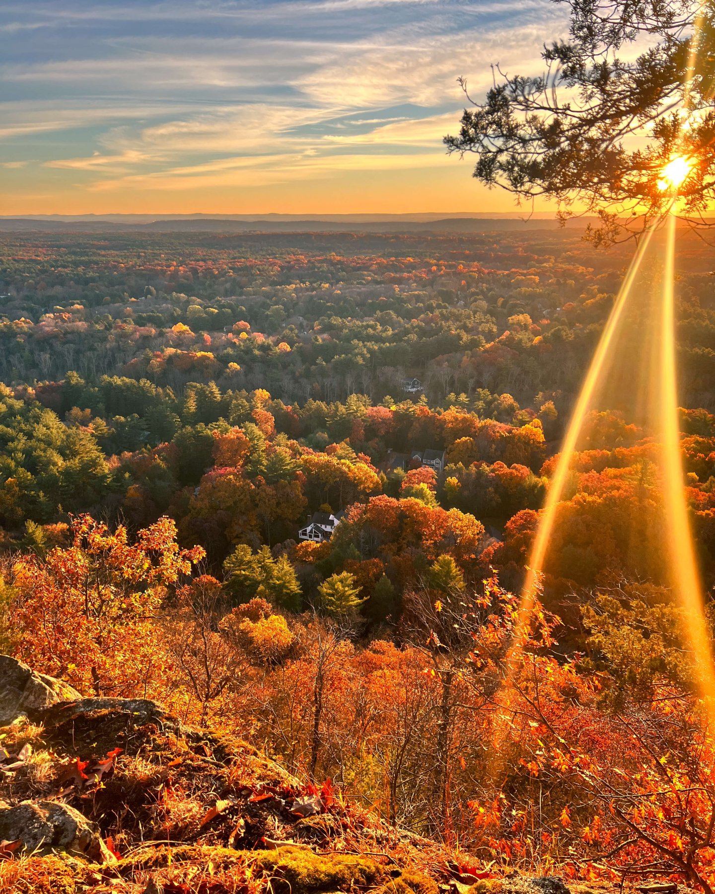
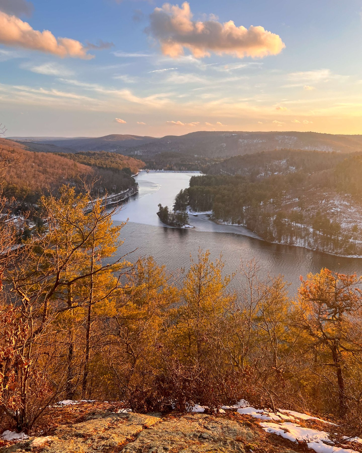
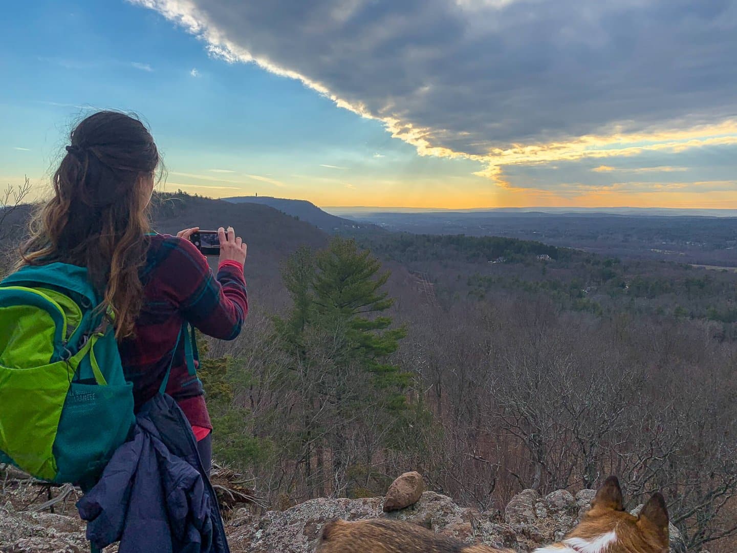
1. Hatchet Hill Lookout, Tariffville (Simsbury)
- 🥾Miles & Difficulty: 2.88 miles, Easy to Moderate
- 📈Elevation Gain: 410 ft
- 🚙Parking: Click here to navigate to small-pull off on side of Hatchett Hill Road
- 🌟Highlights: western facing views over the Farmington River
- 🗺️ AllTrails link
It’s amazing that this beautiful Connecticut hike and view exists and isn’t a set trail or marked on AllTrails except for a tiny camera icon if you zoom in. There is a hike on AllTrails called Holcomb to Hatchett Hill but it doesn’t take you to this spot!
Located in Tariffville which is a neighborhood located on the northeastern side of Simsbury in Hartford County. This hike is in Tariffville’s Historic District. It faces west making it great for sunset and it also overlooks the Farmington River!
I wrote a whole post detailing 3 different routes to the view which you can find here ➡️ Hiking Hatchett Hill in CT. 🌟
There are lots of mountain biking trails here (marked in blue on the AllTrails map) so if you do let dogs off-leash just be aware of that!
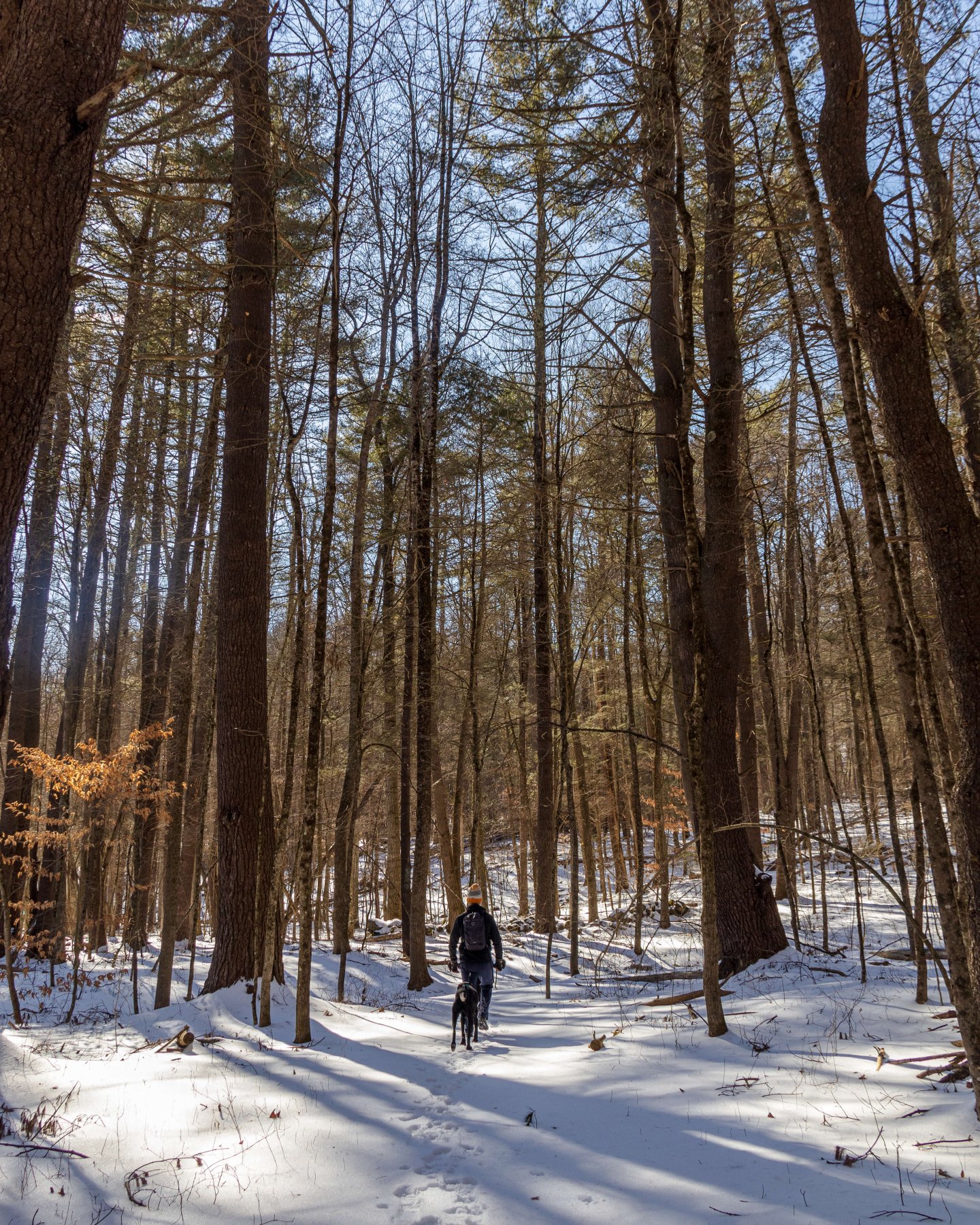
While there is a little elevation here on this hike I would still rate it ‘easy’ as there is nothing technical going on since you’re walking on established paths through the woods. There is some really interesting Native American history here in Tariffville.
There’s also a popular and highly reviewed Italian restaurant, Marco’s, in Tariffville if you want to plan your trip around that. Just bring a change of shoes from your hiking boots and enjoy! 🙂
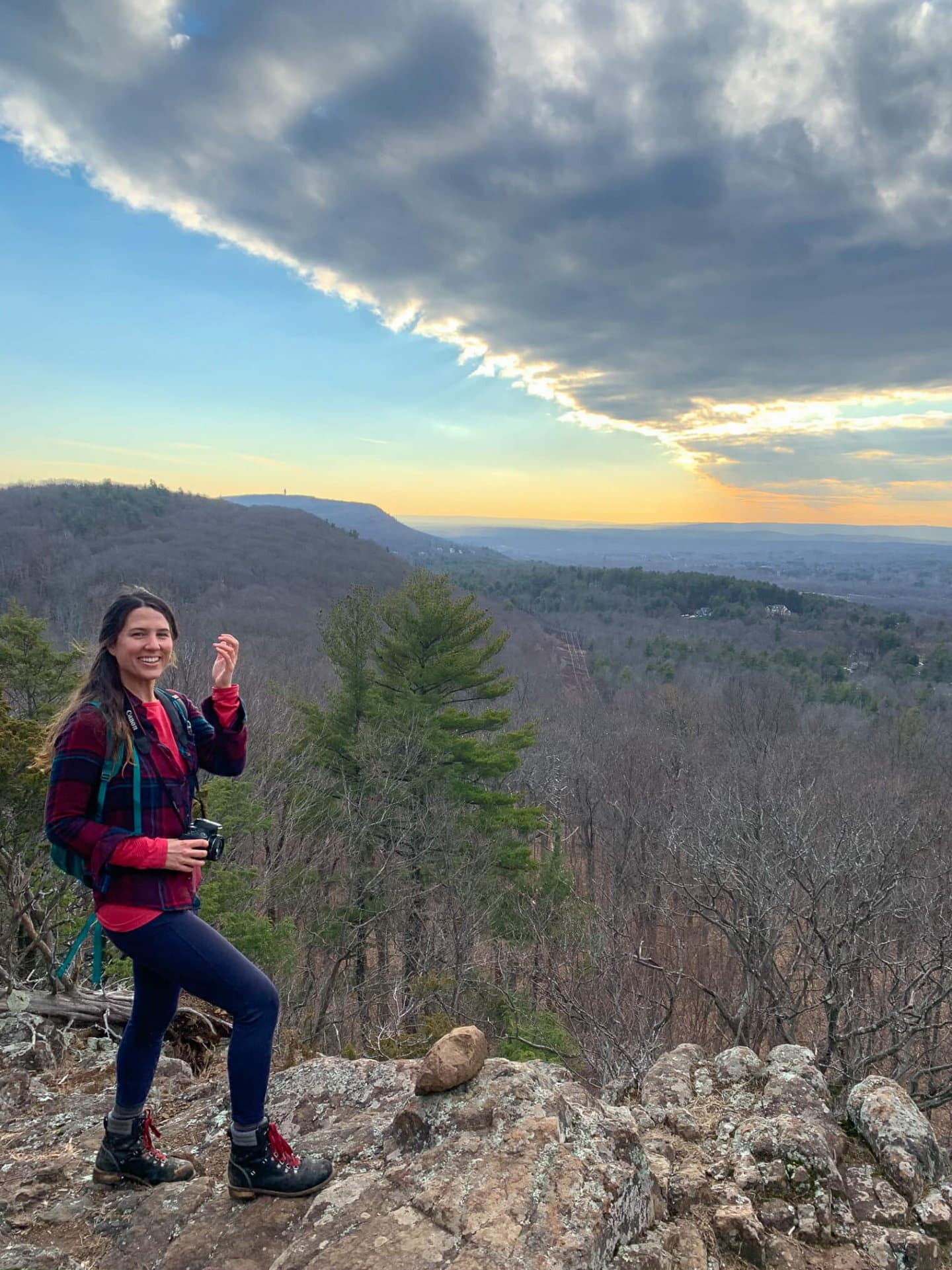
2. Sunset Cliffs, Falls Village
- 🥾Miles & Difficulty: 2 miles, Moderate to Difficult (steep!)
- 📈Elevation Gain: 1,300 ft
- 🚙Parking: Click here to navigate to 435 Music Mountain Rd. Small pull off along Music Mountain
- 🌟Highlights: western facing views
- 🗺️ AllTrails link
On your way to Sharon, CT you pass through the little town of Falls Village located in the northwest corner of the state. If you’ve never been to this part of Litchfield County, you’re in luck!
Out here is where you’ll find the Appalachian Trail in Connecticut which also has lots of great hikes. This part of the state is where I drive if I want more of a mountainous experience in CT.
With the hills of Litchfield County along the way, the whole drive is incredibly scenic and you’ll have an even better view awaiting you at the top of this hike! 🙂
But you will work for it! Though short at 2 miles round trip, this hike is STEEP. You’ll be climbing up along the blue-blazed Mohawk Trail for 1,300 feet in just one mile before you reach the open cliffs on the left.
To reward your work, or for some energy before your hike, be sure to stop at the highly rated Mountainside Cafe for a scone, egg sandwich, or lunch!
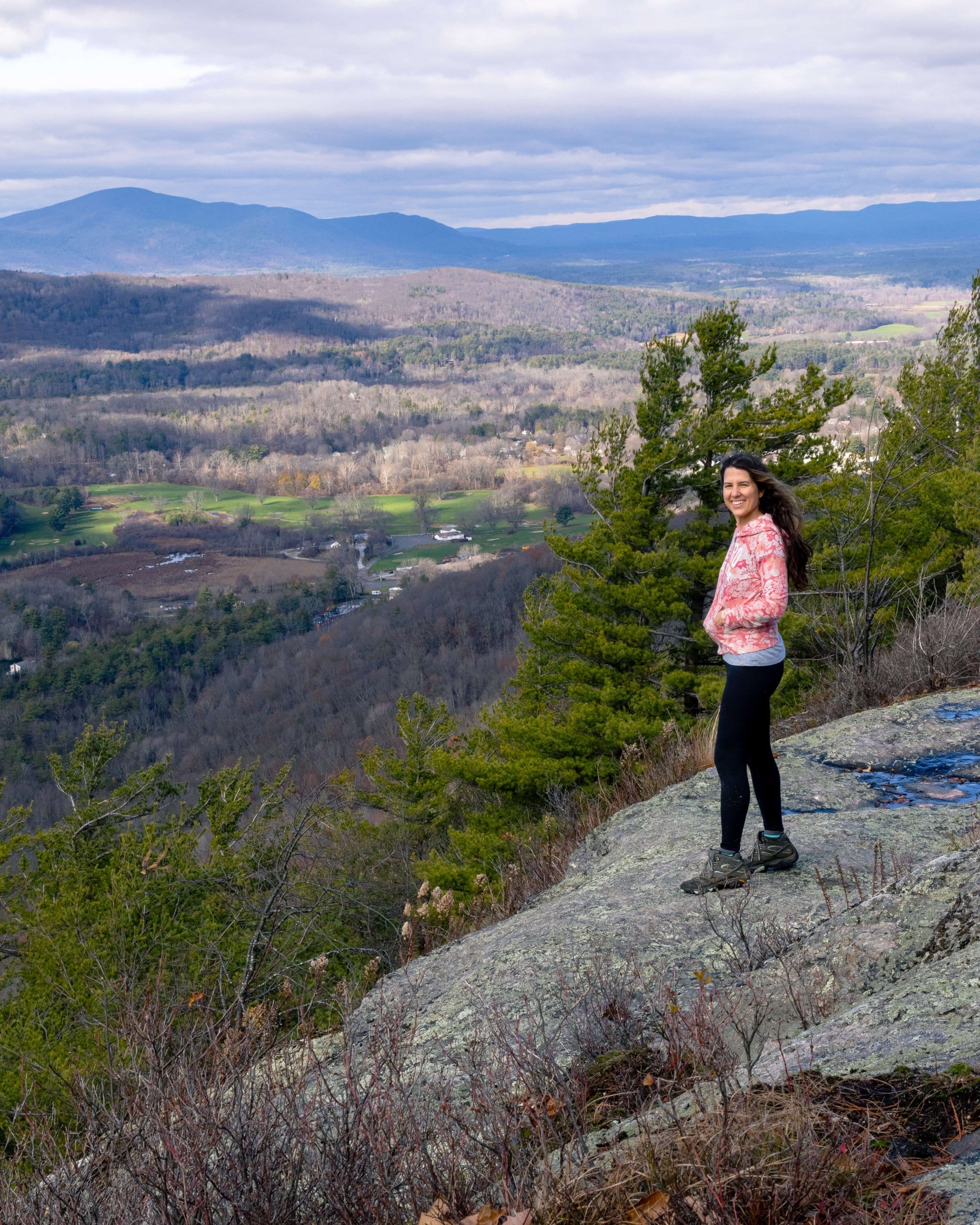
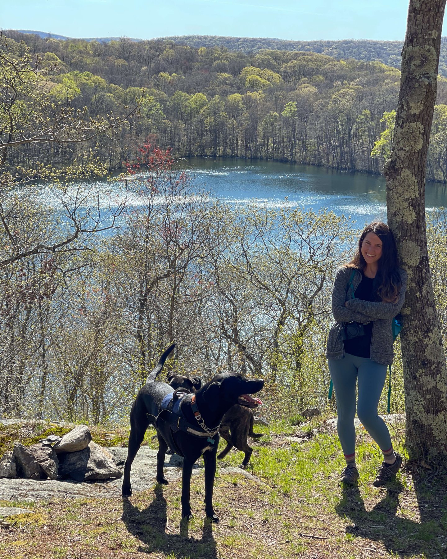
3. Fuller Pond to Appalachian Trail to Caleb’s Peak, Kent
- 🥾Miles & Difficulty: 5 miles
- 📈Elevation Gain: 700 ft
- 🚙Parking: Click to navigate to Pond Mountain Trail, large parking lot
- 🌟Highlights: Fuller Pond views, Caleb’s Peak views, Appalachian Trail
- 🗺️ AllTrails link
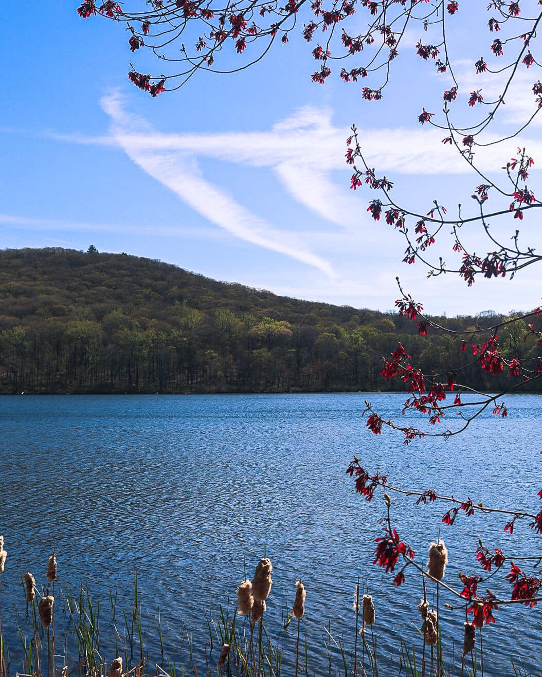
If I had to choose a near-perfect day hike in Connecticut that you won’t find on AllTrails this would be it! I love all the scenic water views plus the mountain views from the top of the hike along the Appalachian Trail.
Located in quaint town of Kent, CT, in the northwestern part of the state, you’ll appreciate the beauty just as you’re driving into town. Not to mention the coffee and chocolate shop in the center of town as you pass through. Be sure to stop at Kent Coffee and Chocolate before or after the hike!
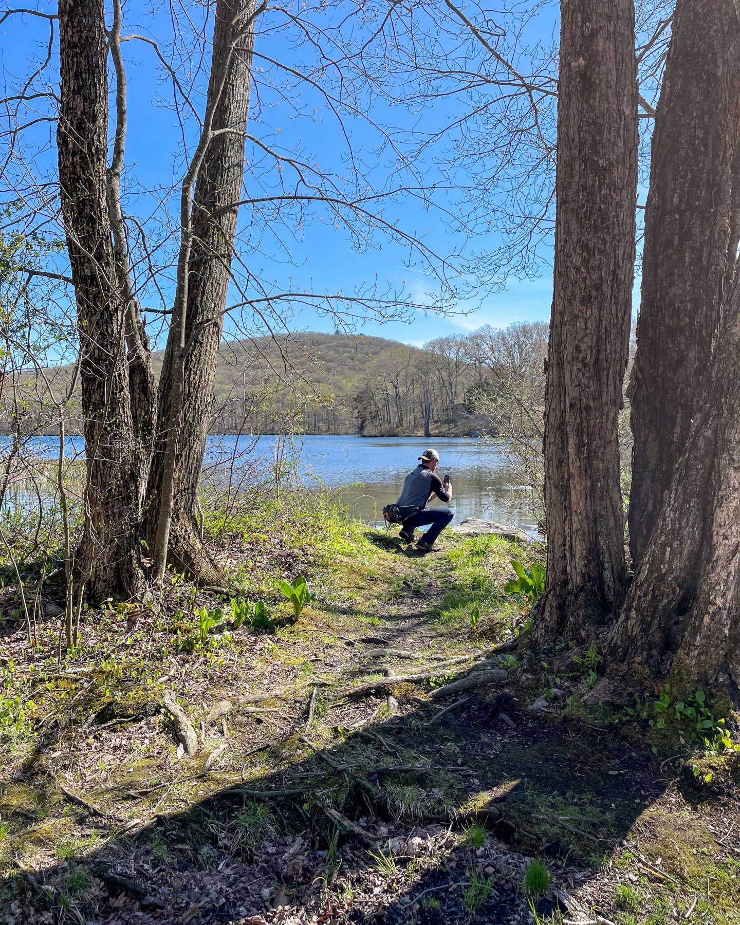
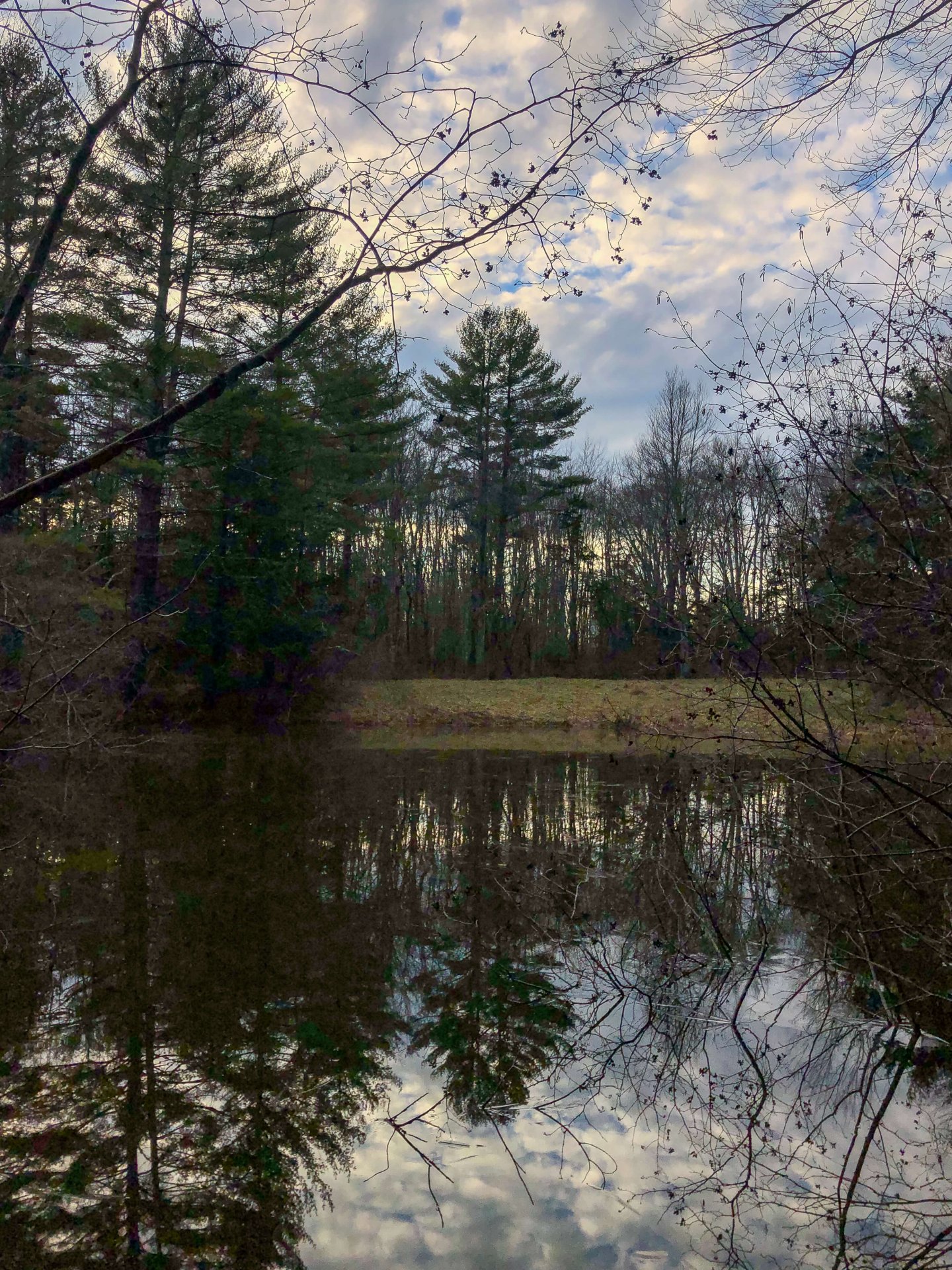
You’ll pull into the large lot and walk a short trail down toward Fuller Pond; a spring-fed and glacial lake that does seem more of a lake given its size.
There is a 2-mile loop that goes around the pond which you will be doing (split into two sections) as part of this hike. I went clockwise on the trail I made (heading to the left first when you get to the pond) but it works either way.
After heading around the left side of the trail and pond, walk up a bit of elevation to the 1.4-mile mark for a pretty overlook of the pond below (see middle picture below). This in itself would be a nice hike if this was all you had time for!
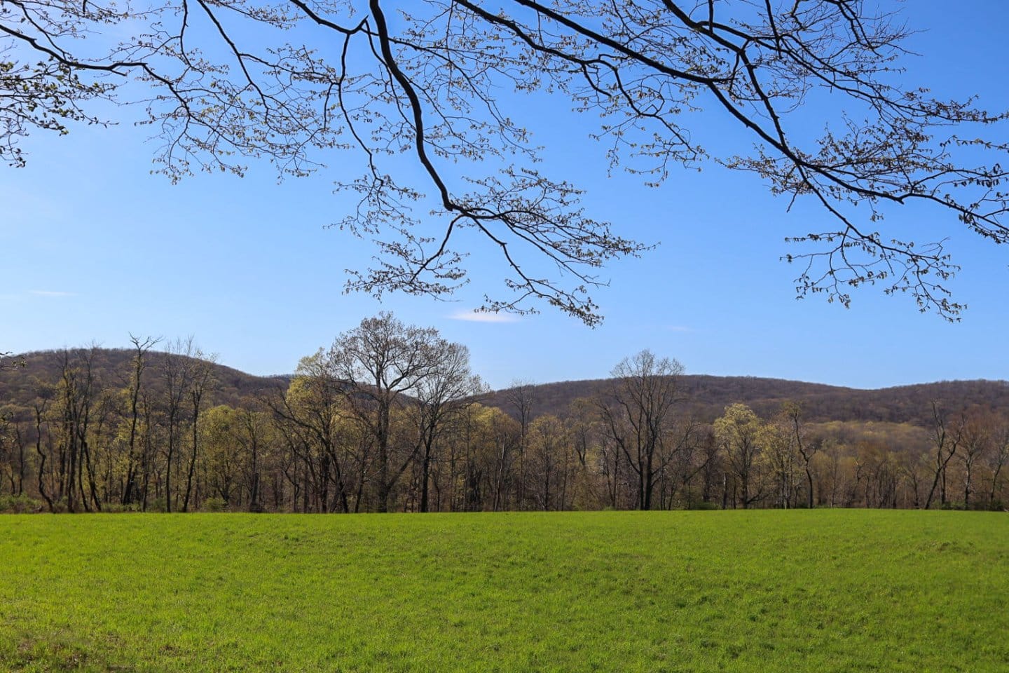
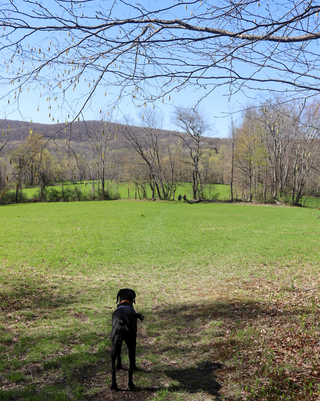
After the lookout over the pond, you continue left along the second loop of this trail. It takes you into an amazing open field lined with stone walls, all part of the 800 acres of Pond Mountain Natural Area. You will have about .5 miles of a walk through this field until you reach Fuller Mountain Road so get prepared to get the dogs leashed up!
From here, walk along Fuller Mountain Rd, and turn right onto Skiff Mountain Road with a total of 0.4 miles of road walking. I always find road walks to be a nice change, especially on these beautiful country roads!
After that 0.4 miles of road, at the 2.3-mile mark, you will see a trail on the left (blue blazed) heading into the woods.
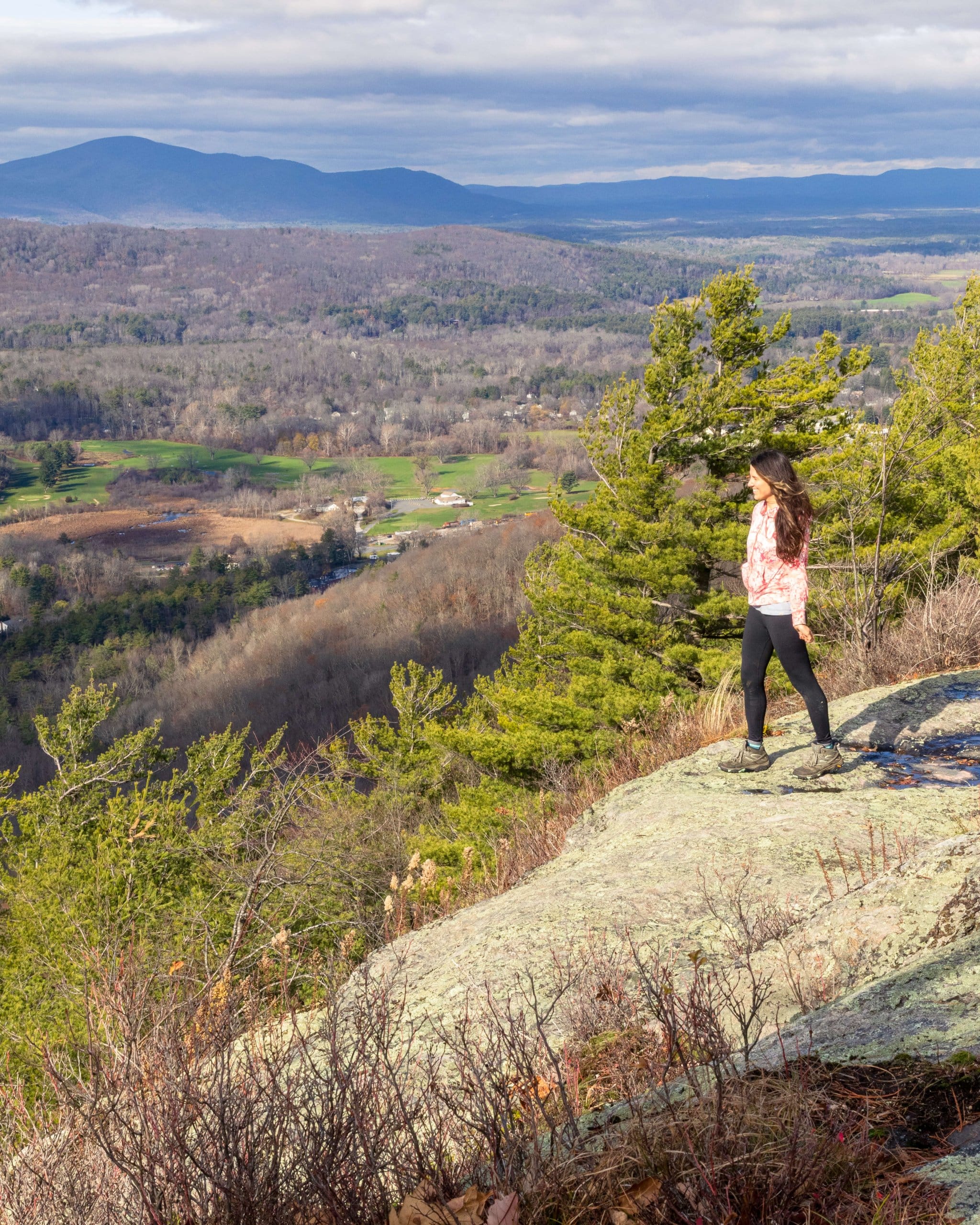
Take that blue blazed trail up to Caleb’s Peak (pictured on the bottom left and bottom right) where you’ll meet up with the Appalachian Trail (white blazes).
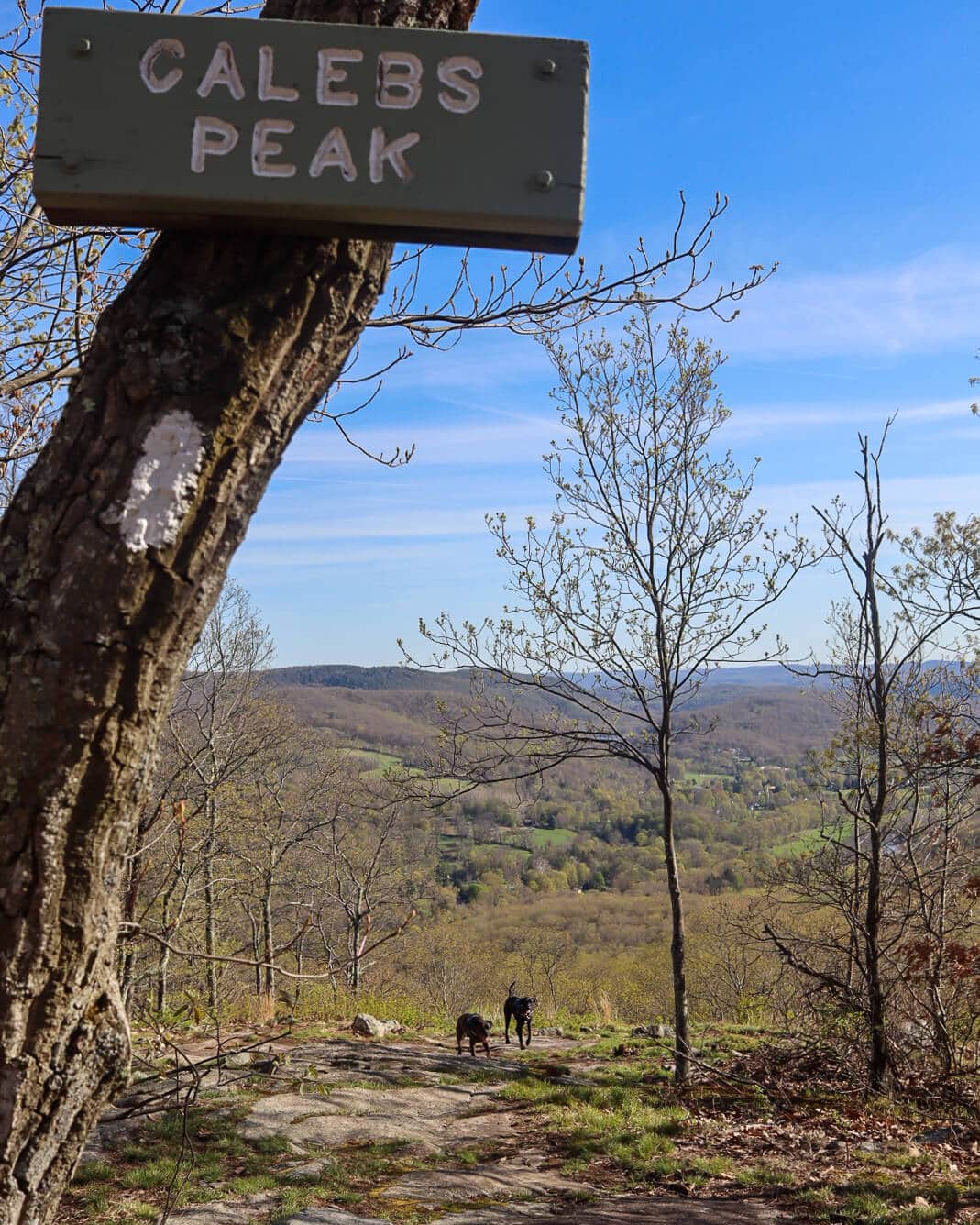
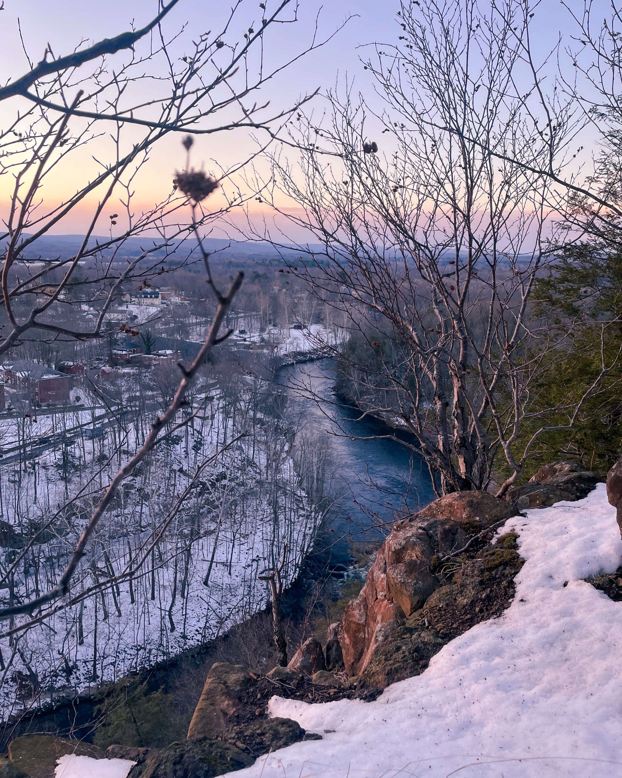
Enjoy the view from Caleb’s Peak, part of the Appalachian Trail, which overlooks Kent and the Housatonic River Valley.
After taking in the view, you’ll start to close this upper loop by taking the white-blazed Appalachian Trail back down. After 0.6 miles of descent until you’ll reach the final road crossing.
When you get to Skiff Mountain Rd below you take a right on the road and walk less than a tenth of a mile until you see the trail entering the woods on the left. (Make sure you turn right and walk along the road and do not go directly across it onto the Appalachian Trail!)
Here you will walk 0.7 miles on a nice wide path along a brook that takes you back to the Fuller Pond loop. Turn left and walk down alongside the pond (the pond will be on your right) to the parking lot.
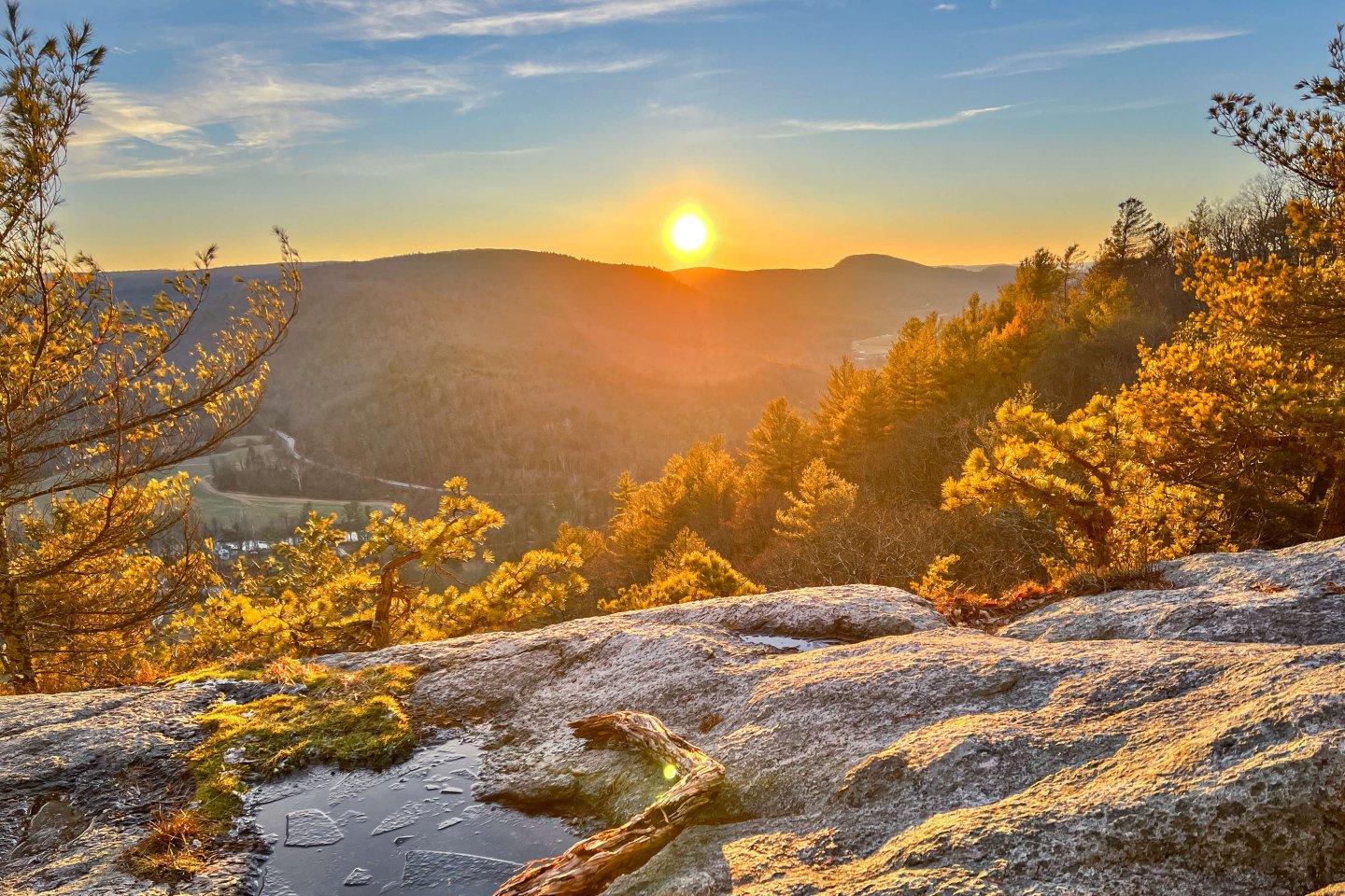
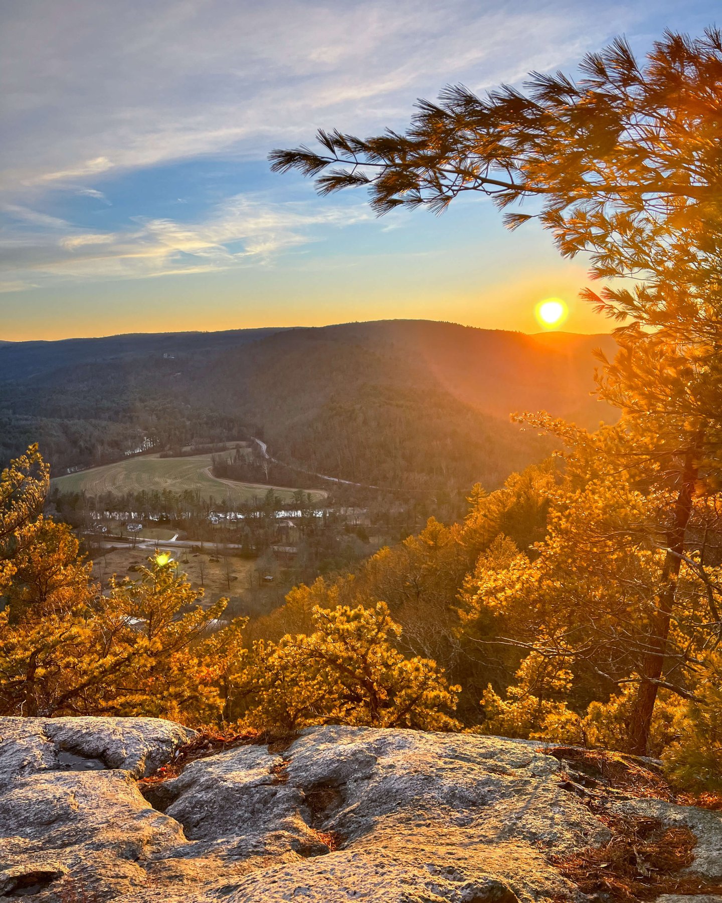
4. Secret Canaan Cliffs, Canaan
- 🥾Miles & Difficulty: 3.2 miles, Hard
- 📈Elevation Gain: 1,100 ft
- 🚙Parking: Click to navigate to small pull-off along Route 7
- 🌟Highlights: wide open cliff views
- 🗺️ AllTrails link
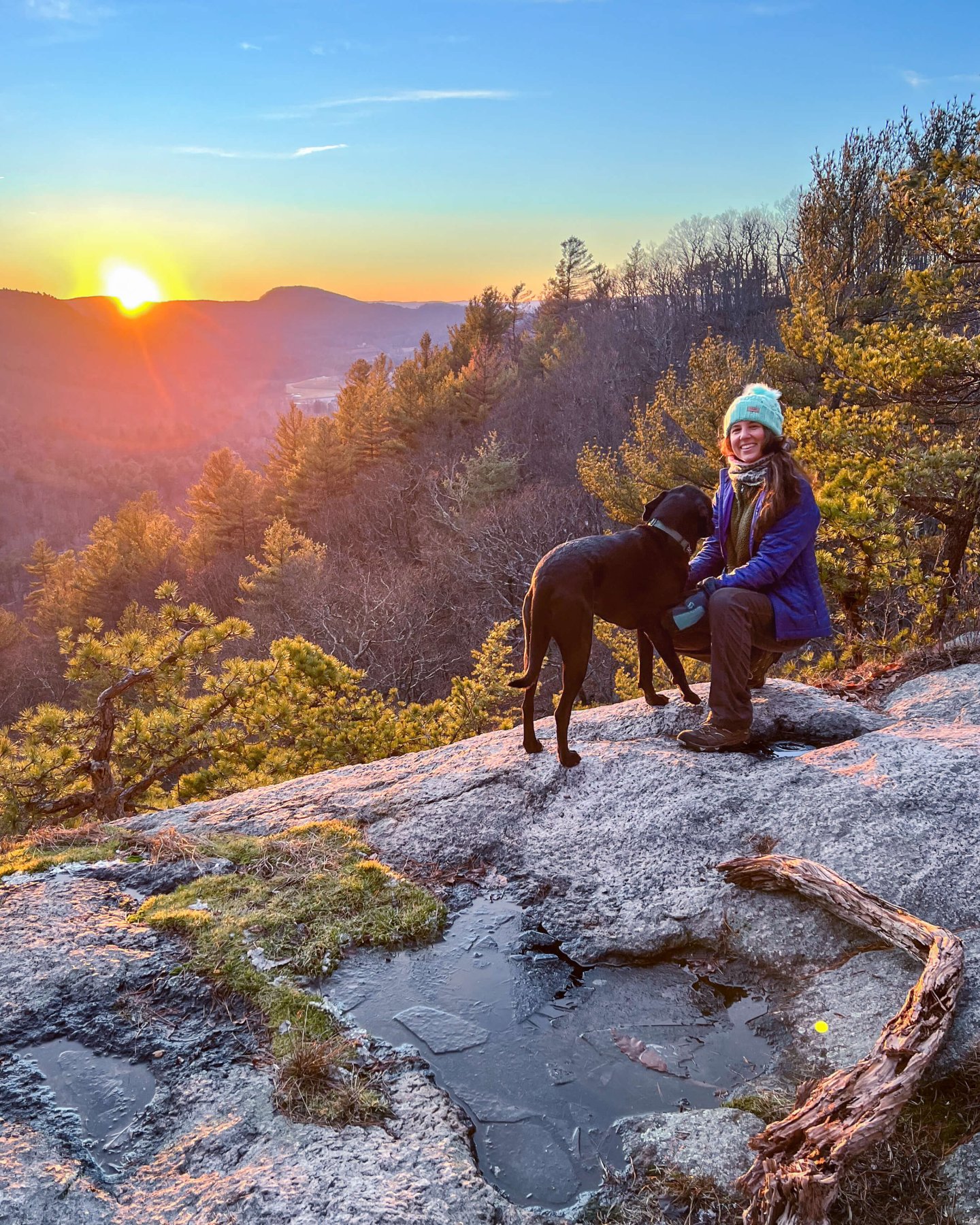
This is perhaps the best scenic hike and view in Connecticut that you WILL NOT FIND on AllTrails! I’ve been hiking in CT all my adult life and never knew this hike existed….
We, and perhaps you as well, have driven by these cliffs so many times along Route 7 here up in Canaan, Connecticut. Route 7 is a busy but scenic road that runs from the top CT down through the towns in northwestern Connecticut so if you’ve hiked in this area chances are you’ve taken Route 7.
You are not making your own trail although it might feel like that at the start! It is not very well-marked or well traveled. So have the AllTrails map downloaded and pulled up on your phone prior to arrival (Service here is limited as well).
You will see, after about 0.2 miles, there are established trails here marked green, yellow, blue, and red. You will mainly follow the green to yellow to the cliffs. You’ll pass a little waterfall and pretty much follow the stream straight up the mountain.
⚠️Warning: This trail is tough! It’s very steep since you go up 1,000 feet in just 0.7 miles. The steep parts don’t last too long and there are switchbacks that help with the incline.
Once done with the incline, turn left to walk on a pretty path in the woods. I got the feeling like we had the mountain to ourselves here and we saw no one else here on that weekend day.
Follow the green blazes at first and then it switches to a yellow-blazed trail until you get to the cliffs.
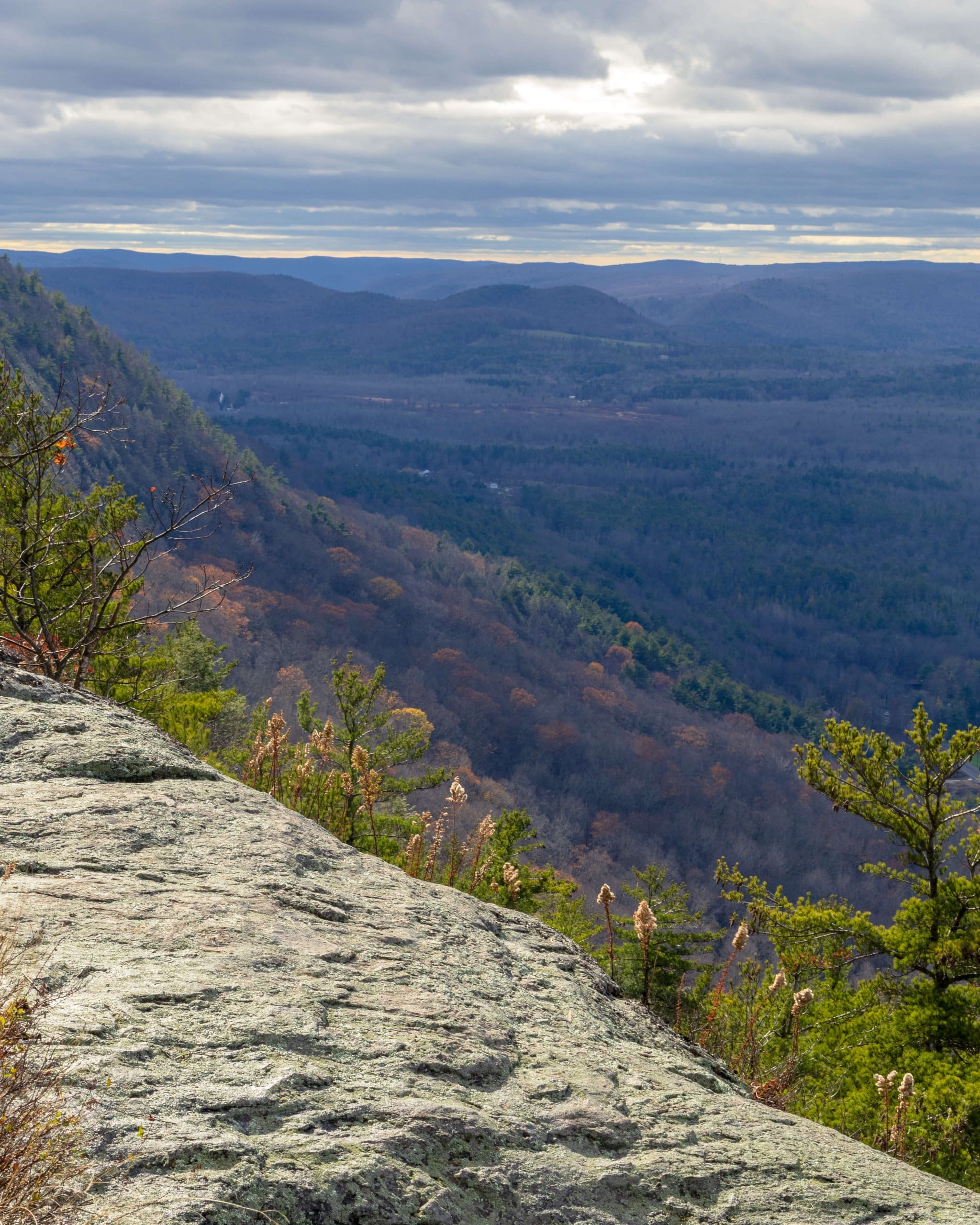
There are a few super scenic cliff spots on the way to the final one so don’t be fooled and keep going to the end of the trail with the last cliff which is wide open with expansive views facing west.
Be careful as the cliff can be slippery even if it doesn’t look like it with moss and sometimes water covering the rocks.
I bet you’ll be just as amazed with this view. It is definitely one of the better views in Connecticut. I want to go back and see it in summer or fall one day.
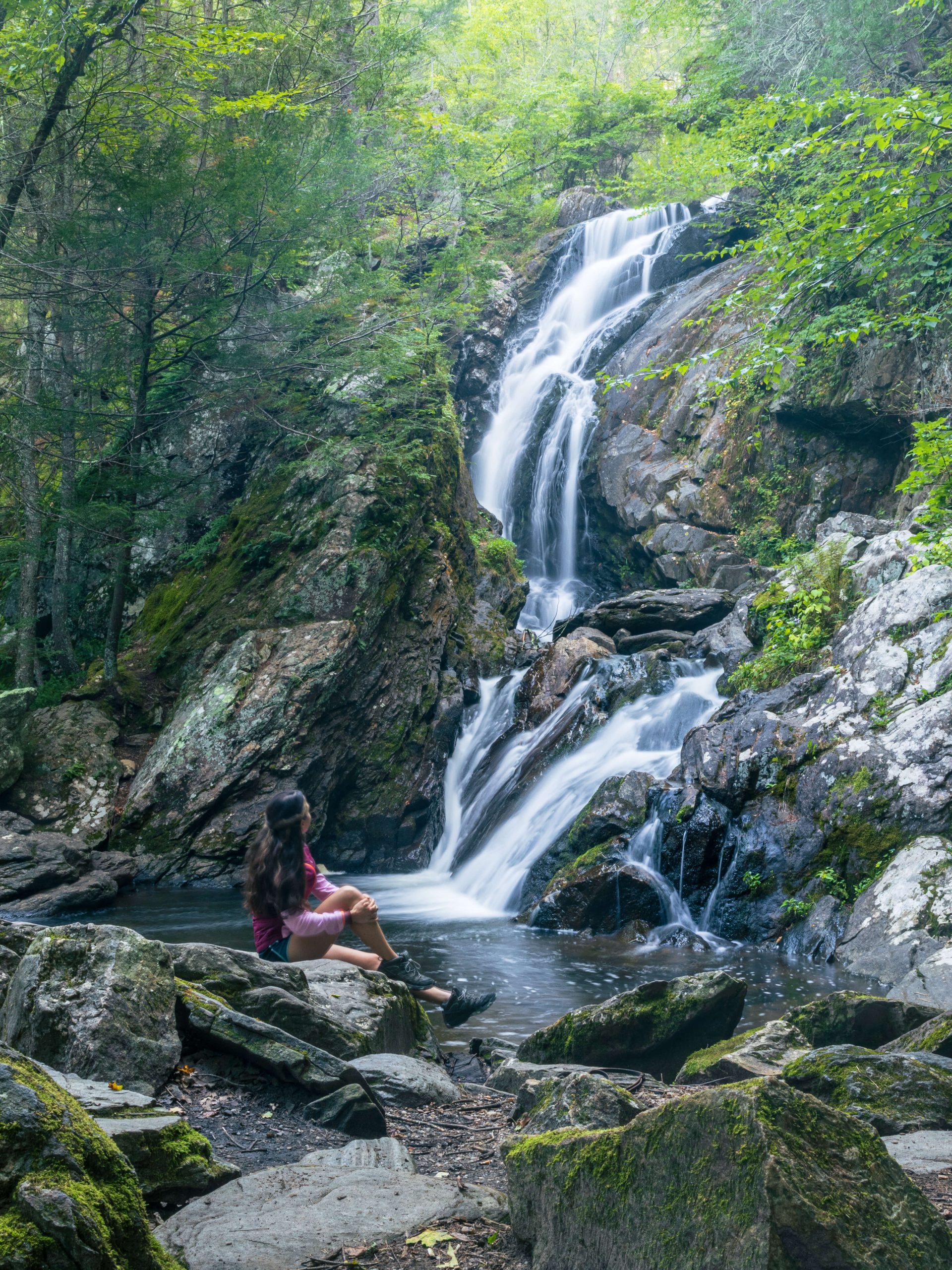
5. Bread Loaf Mountain to Pine Knob Loop, Cornwall
- 🥾Miles & Difficulty: 6.14 miles
- 📈Elevation Gain: 1,800 ft
- 🚙Parking: Click here to navigate to parking – small pull-off along western side of Rt 7
- 🌟Highlights: small view from Bread Loaf Mtn, big view at Pine Knob, Hatch Brook Falls
- 🗺️ AllTrails link
I have done the 3.1-mile Pine Knob Loop lots of times but never knew the view to the west of it at Bread Loaf Mountain.
This hike starts with a climb that’ll wake you up with 0.7 miles and almost 600 feet of a climb. The view at the top of Bread Loaf Mountain faces east and is a nice spot to sit and finish your coffee or have a pick-me-up snack.
Since this view is right off of the Appalachian Trail, you may notice a campsite nearby which I’m sure AT hikers take advantage of.
After the view at Bread Loaf, you’ll walk about a tenth of a mile until you meet up with the white-blazed Appalachian Trail, turn right.
From here it’s a beautiful mile in the woods crossing numerous streams until you get to the start of the Pine Knob Loop.
You can go clockwise around the loop (which is how I mapped this one out) or go counterclockwise heading down along the falls first (Hatch Brook Falls) and then the view.
If you go clockwise around Pine Knob Loop, you’ll hit the views first and then hike up along the right side of Hatch Brook Falls as you make your way back to the trail to Bread Loaf Mountain.
There are a few stream crossings so wear your waterproof boots! This hike is a hikers dream with multiple lookouts, streams, and small waterfalls.
6. Hedgehog Trail Loop, West Simsbury
- 🥾Miles & Difficulty: 4.6 mile loop, Moderate
- 📈Elevation Gain: 856 ft
- 🚙Parking: Click here to navigate to small parking lot along Westledge Rd/Rt 309(kind of hidden!)
- 🌟Highlights: multiple views facing west
- 🗺️ AllTrails link
This is such a scenic Connecticut hike that is not very well-known. Located in West Simsbury in Hartford County, this 4+ mile loop takes you up and over West Mountain leading you to two different overlooks.
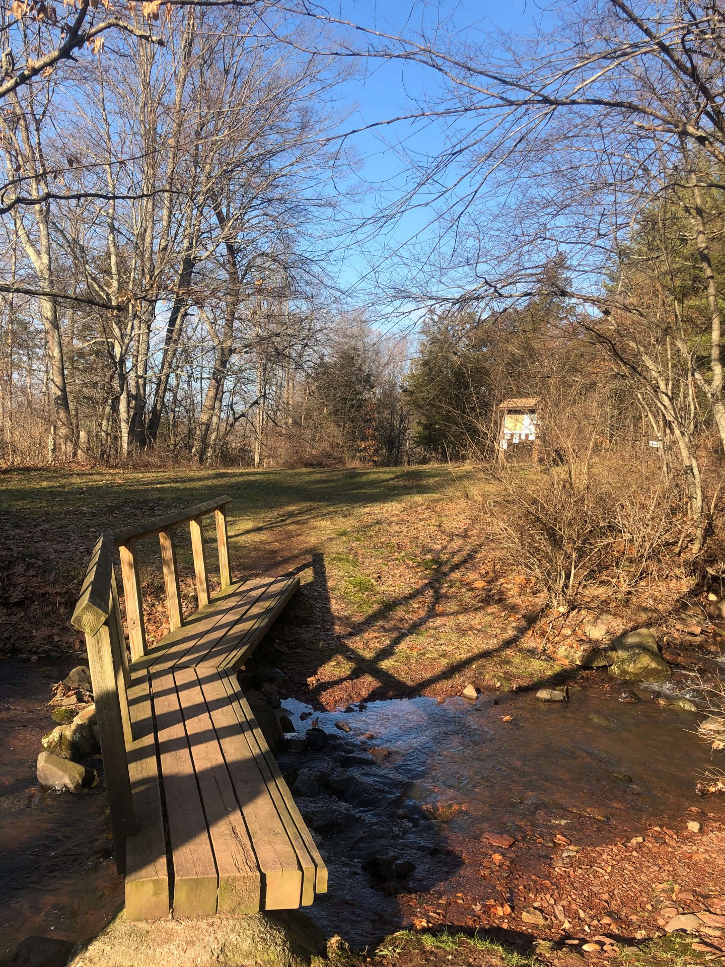
From the parking lot, start on the red-blazed trail and after about 0.2 miles you’ll cross a little wooden bridge taking you over a bubbling stream. This is a great place for the dogs to get some water!
After the bridge, turn left to walk along a wide logging path and you’ll soon arrive at the start of the loop. You could go either way but I normally take the loop counterclockwise, bearing right on red.
If you go this way then you’ll shortly arrive at a driveway entrance to The Master’s School – keep dogs and kids close as you cross!
After crossing the driveway, enter back into the woods on the red-blazed trail. You’ll continue to follow the red all the way until you get to the blue trail which will take you back to start of the loop.
To be sure you catch both views and for more turn-by-turn directions and trail details be sure to check out my full post ➡️ Hiking Hedgehog Mountain in Simsbury. 🌟
7. Ratlum Mountain Lookout (the short way), Barkhamsted
- 🥾Miles & Difficulty: 1.37 miles, Easy to Moderate
- 📈Elevation Gain: 285 ft
- 🚙Parking: Click here to navigate to small pull-off along western side of Ratlum Road
- 🌟Highlights: views across Lake McDonough
- 🗺️ AllTrails Link
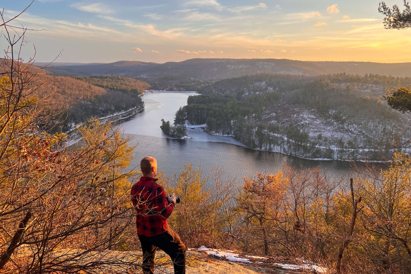
Hike up this short trail to the super scenic Connecticut view overlooking Lake McDonough! This is one of the best short hikes in CT with its expansive view across Lake McDonough – so pretty!
The other way up to this lookout is by accessing the trail from the northern end of Ratlum Road and from there it takes 3.5 miles to get to the lookout.
The terrain here is pretty easy to walk on. There are two stream crossings but nothing technical. When here at the beginning of March there was snow on the trails so bring insulated waterproof boots.
Have fun and remember to pack out all of your sunset snacks and anything else you bring on the hike! 🙂
But the trail I made is under 2 miles round trip and great for sunset if you want to see the sun going down and not have to walk back for miles in the dark!
This is also a great hike to do for beginner hikers because of the length and difficulty. There is a little incline going up but not very steep at all.
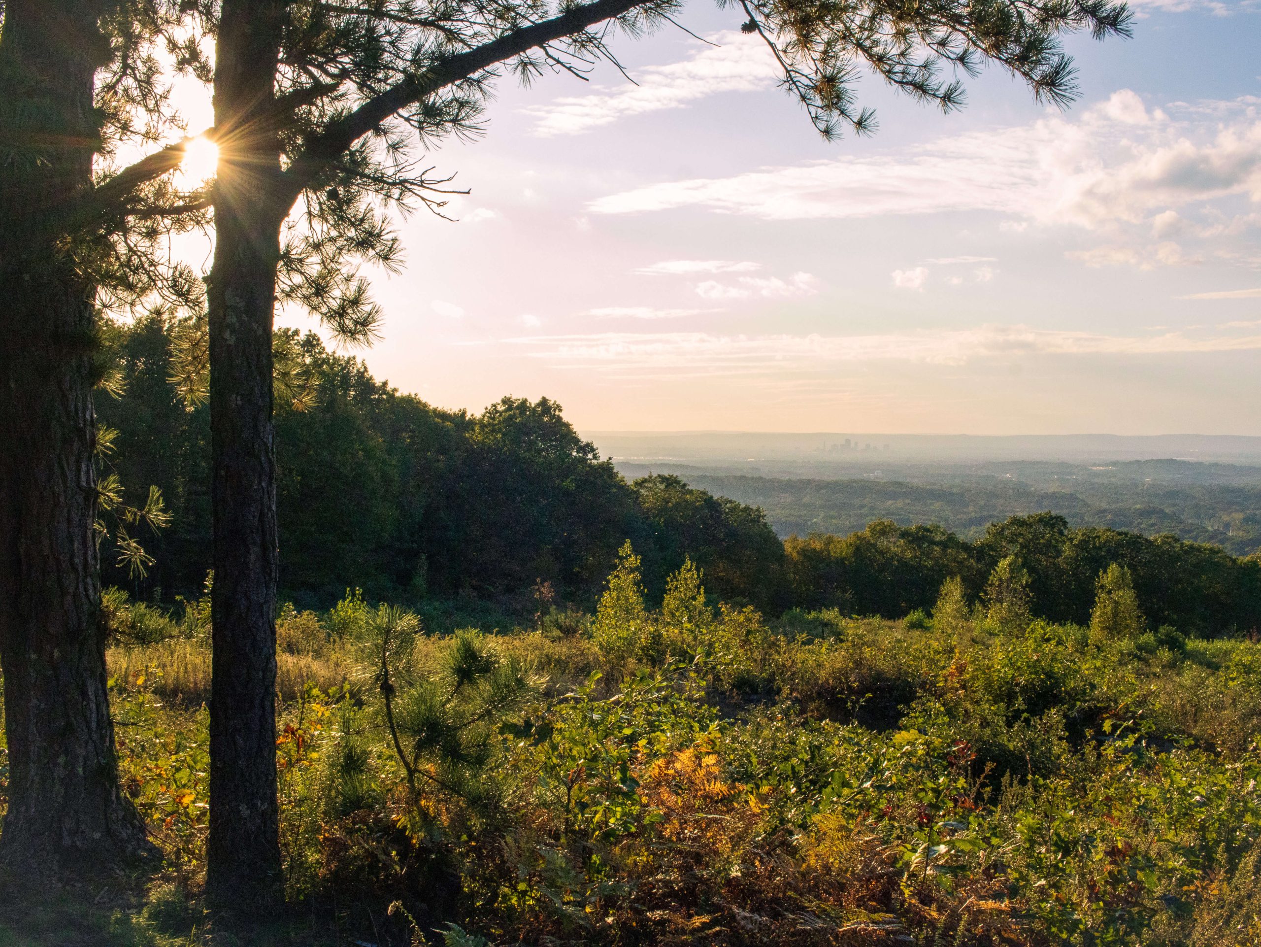
8. Tanager Hill to Penwood State Park Lookout, Simsbury
- 🥾Miles & Difficulty: 3.7 mile loop, Moderate
- 📈Elevation Gain: 570 ft
- 🚙Parking: Click here to navigate to small parking lot on eastern side of E Weatogue Street
- 🌟Highlights: western view atop Penwood plus scenic trails in Simsbury Land Trust
- 🗺️ AllTrails link
This beautiful loop packs a whole lot into just 3.7 miles! I actually kept having to double check the mileage to make sure it was correct.
And yes, you’ll be hiking through the scenic trails of the Simsbury Land Trust, up and around Darling Wildlife Sanctuary, and all along the ridge to Penwood Mountain lookout.
There are other trails here so it’s best to download the AllTrails map and follow along.
Conclusion
I hope you enjoyed this round up of 8 hikes in Connecticut with amazing views and quiet, less-crowded trails.
Writing this and looking at the photos makes me want to go do every one of them again! The only hike on this list that I haven’t hiked multiple times is the fourth hike, Canaan Cliffs. That was the last hike our dog Bauer did. He was 13.5 years old when he passed and every bit of 13 when he did that hike.
We refer to that one as Bauer’s hill and both Jared and I have discussed that it has a not-so-great feeling about it now. BUT! No reason for you not to hike there.
It is the most ‘wild’ hike on the list in terms of trails since they were not well-traveled or well-marked at times.
Anyways – I hope you enjoyed this list and find a new favorite hike in CT! Please let me know below or feel free to leave any questions. I read them all!
Happy Trails 💗🐾🥾🐾


Thanks so much for creating a map of the hatchet hill lookout! We did the hike today! Can’t wait to try other trails!
Oh my goodness, I love it!! Thanks so much, Lauren! So happy to hear!! Glad you liked it and feel free to reach out with any questions about the others!
Hi Kristen,
Great Blog!.. it is very inspiring.
Do you lead any hikes?
Thanks.
Hi Joe! That’s a great idea. I’ve thought about that. I am thinking of putting something together and when I do I will let you know!!:)